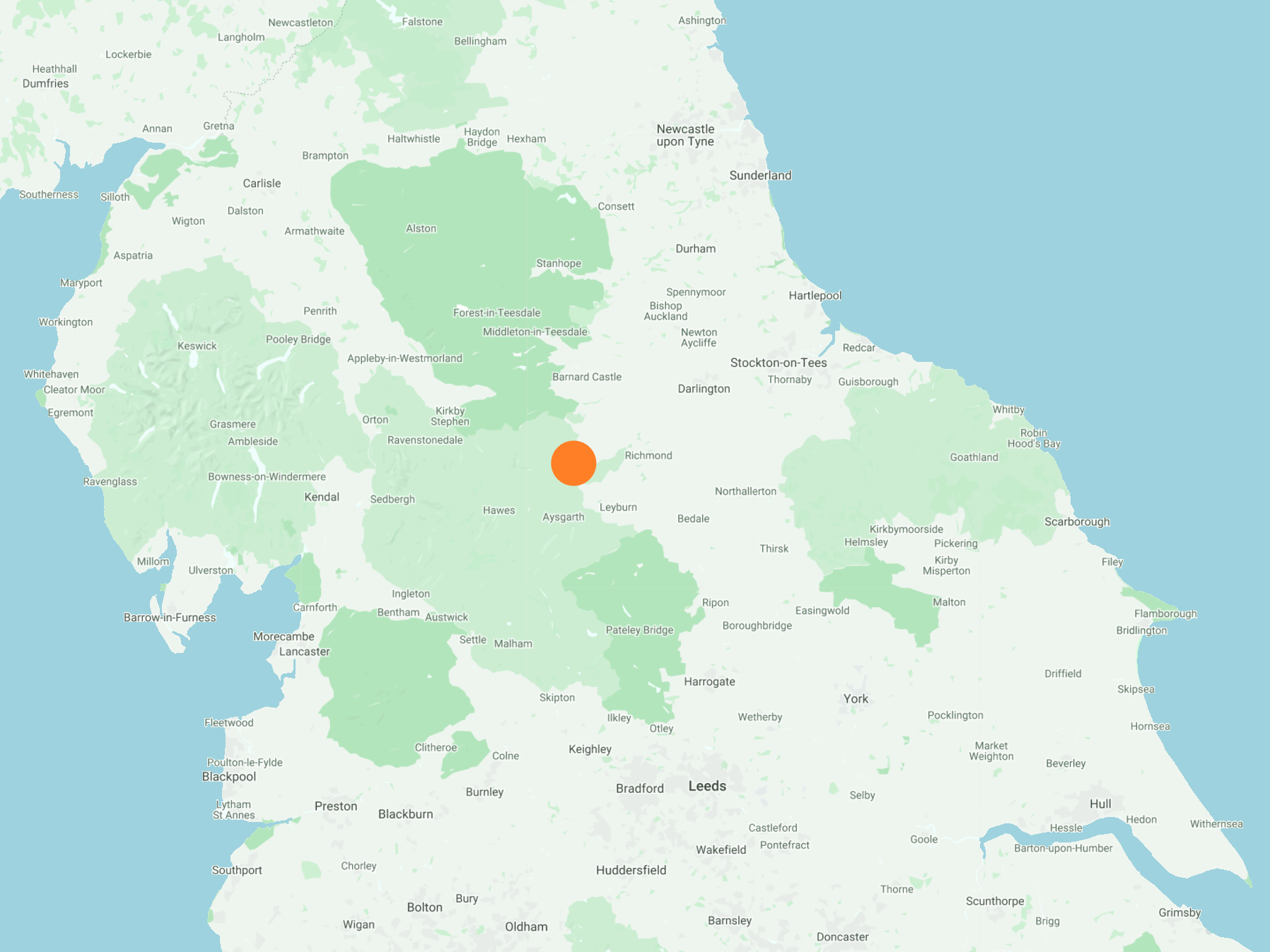
North-west out of Reeth to Langthwaite, following the course of Arkle Beck through Arkengarthdale. South-east to Arkle Town via Raw Bank, then south-west by way of a bridleway on to Reeth Low Moor. After a climb to the top of Calver Hill, it’s east across farmland back to Reeth. A 9-mile walk in the Yorkshire Dales.
Recommended Ordnance Survey Map
The best map to use on this walk is the Ordnance Survey map of the Yorkshire Dales Northern & Central Area, reference OS Explorer OL30, scale 1:25,000. It clearly displays footpaths, rights of way, open access land and vegetation on the ground, making it ideal for walking, running and hiking. The map can be purchased from Amazon in either a standard, paper version or a weatherproof, laminated version, as shown below.
Standard Version
The view of Calver Hill from Cuckoo Hill, just north of Reeth.

Arkle Beck in Arkengarthdale between Langthwaite and Reeth. In July 2019 flash flooding caused major damage in the Reeth, Fremington and Grinton areas of the Yorkshire Dales. Arkle Beck flows into the River Swale near Reeth, and would have been responsible for much of the destruction. Mud slides and freshly fallen trees here indicate the height of the water level and the power of the torrent.


The remains of a farmhouse in Castle, Arkengarthdale, perhaps hundreds of years old and with so much history to tell.

Looking down to Arkle Beck, with Calver Hill in the background.

The view north-west along the Arkengarthdale valley. The tiny village of Booze is nestled on the hillside on the right of the picture, and Great Pinseat is visible in the background (centre).

Looking up at Fremington Edge.

Dozens of chickens following me, obviously thinking I was going to feed them.

Langthwaite bridge, which was used in the opening credits of the BBC TV series ‘All Creatures Great and Small’.


St Mary’s Church, Langthwaite.

For the glory of God and in memory of the men of Arkengarthdale who gave their lives in the Great War.

