West from Guisborough to Hutton Gate, then south-west through Hutton Lowcross Woods to Roseberry Common. Picking up the Cleveland Way, it’s south to Captain Cook’s Monument then over to Kildale, before heading east then north to join Percy Cross Rigg on Kildale Moor. Finally north-west over Hutton Moor, through woodland above Hutton Village, and back to Guisborough town centre. A 13-mile walk in Northern England.
Recommended Ordnance Survey Map
The best map to use on this walk is the Ordnance Survey map of the North York Moors Western Area, reference OS Explorer OL26, scale 1:25,000. It clearly displays footpaths, rights of way, open access land and vegetation on the ground, making it ideal for walking, running and hiking. The map can be purchased from Amazon in either a standard, paper version or a weatherproof, laminated version, as shown below.
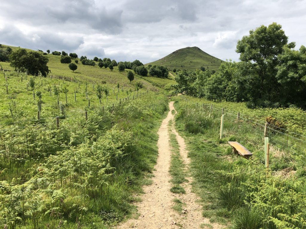
The path leading to Roseberry Common from Hutton Lowcross Woods.
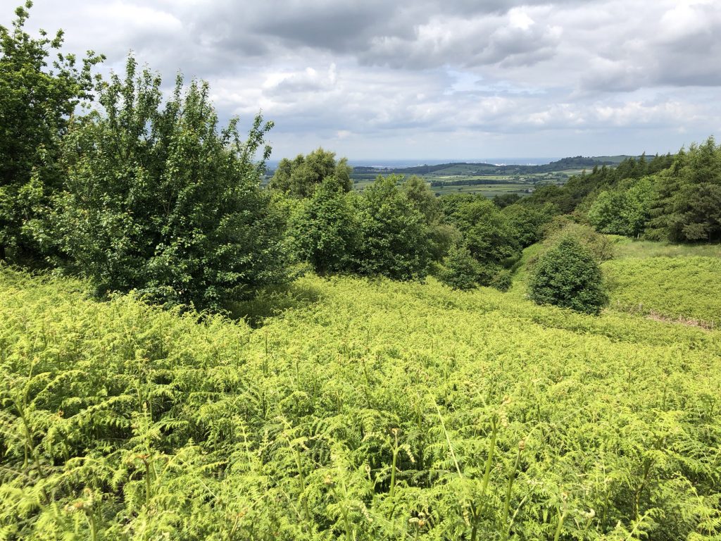
The view north towards Redcar, the East Coast and the River Tees Mouth.
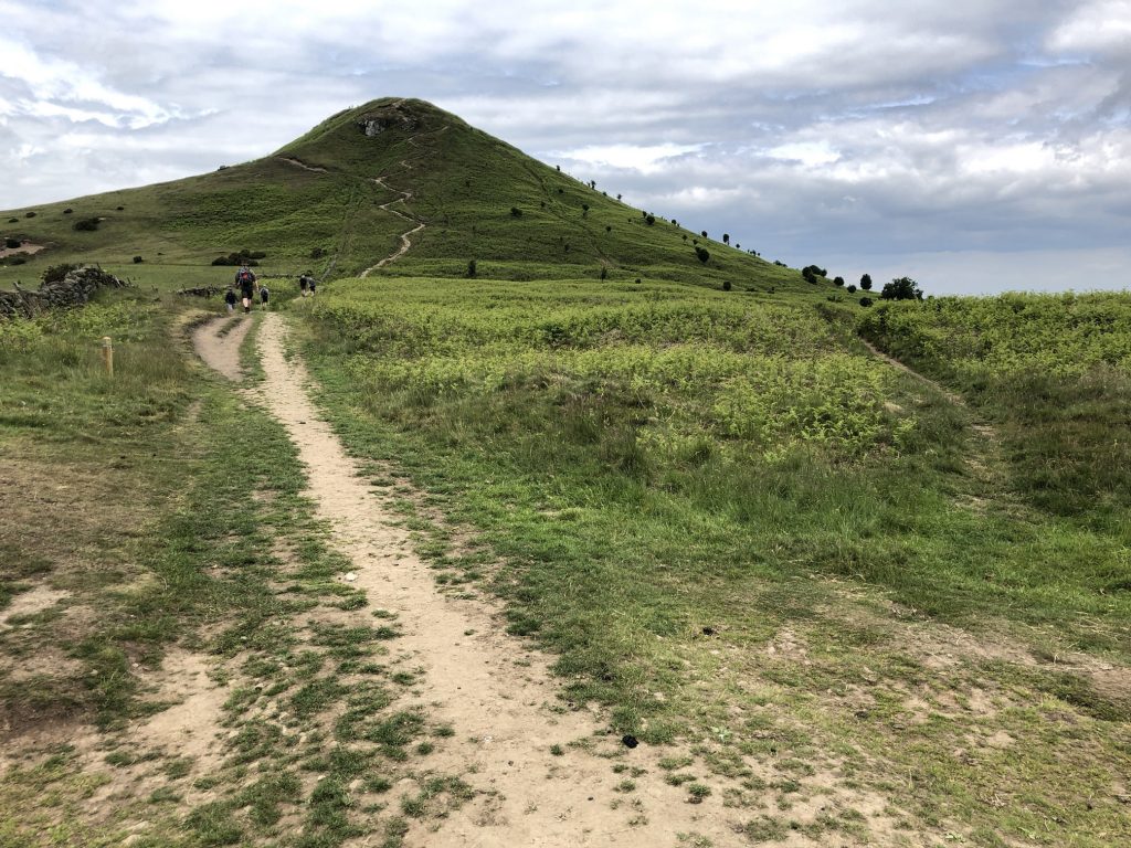
The Cleveland Way on the eastern side of Roseberry Topping.

The Cleveland Way path across Great Ayton Moor near High Intake Plantation. Captain Cook’s Monument is just visible on the horizon.
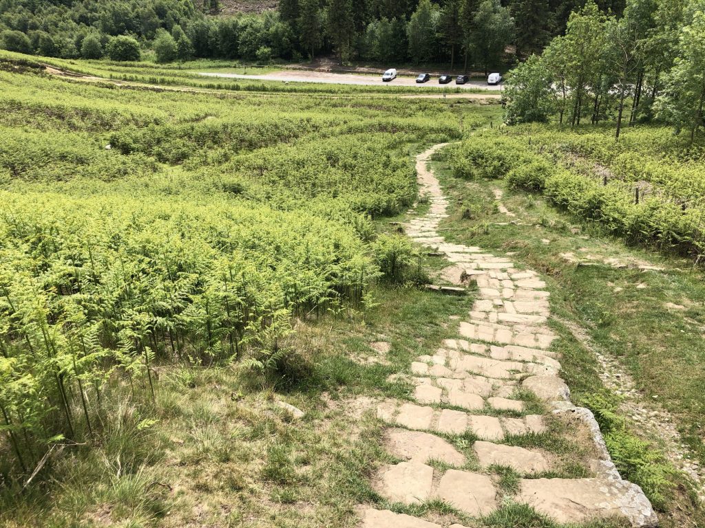
Steps leading down to the car park at Gribdale Gate.
One of several paths leading to Captain Cook’s Monument.
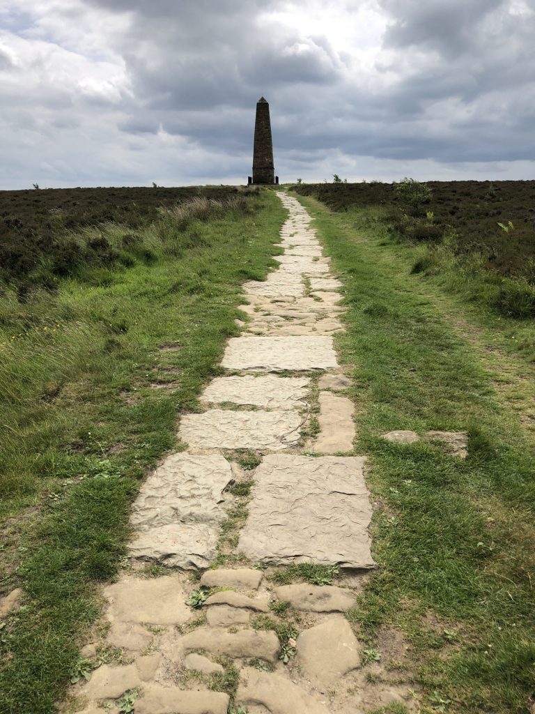
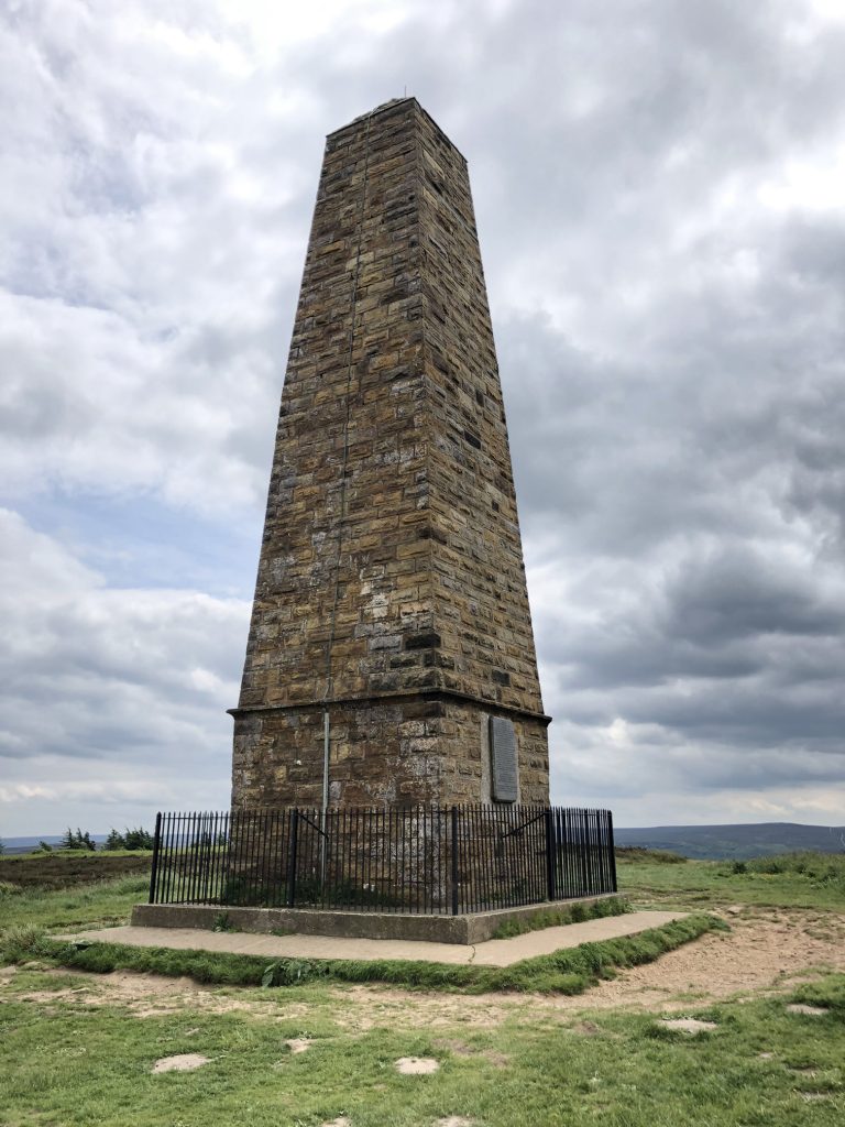
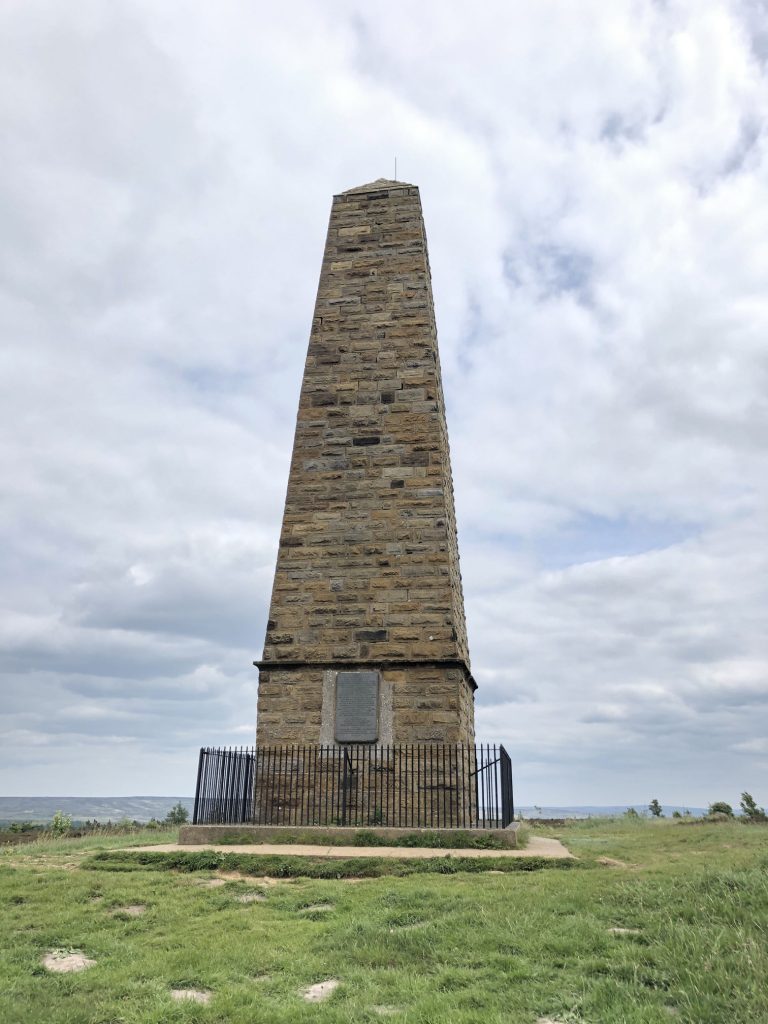
Captain Cook’s Monument.
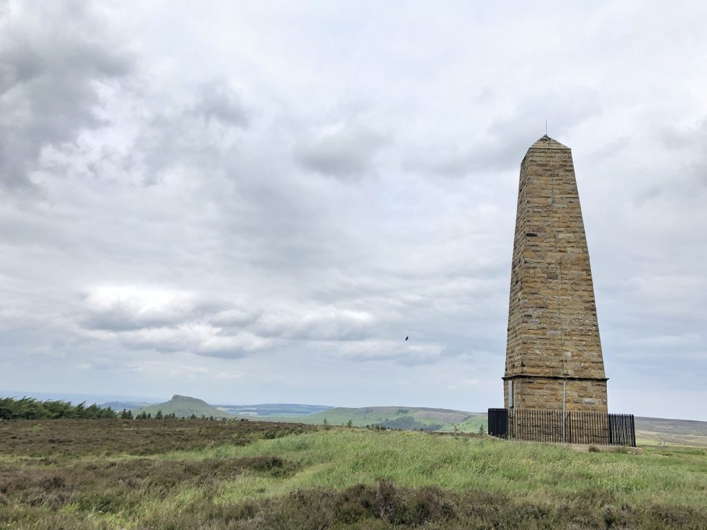
Captain Cook’s Monument, with Roseberry Topping in the background.
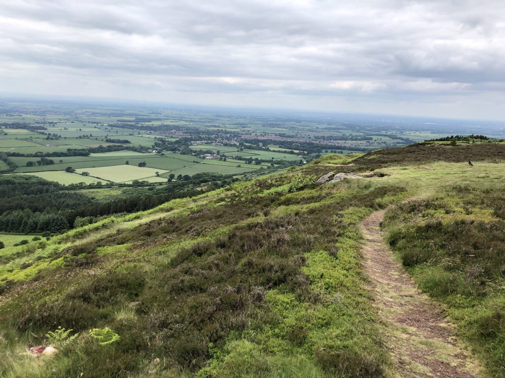
The view west over Great Ayton from Captain Cook’s Monument.
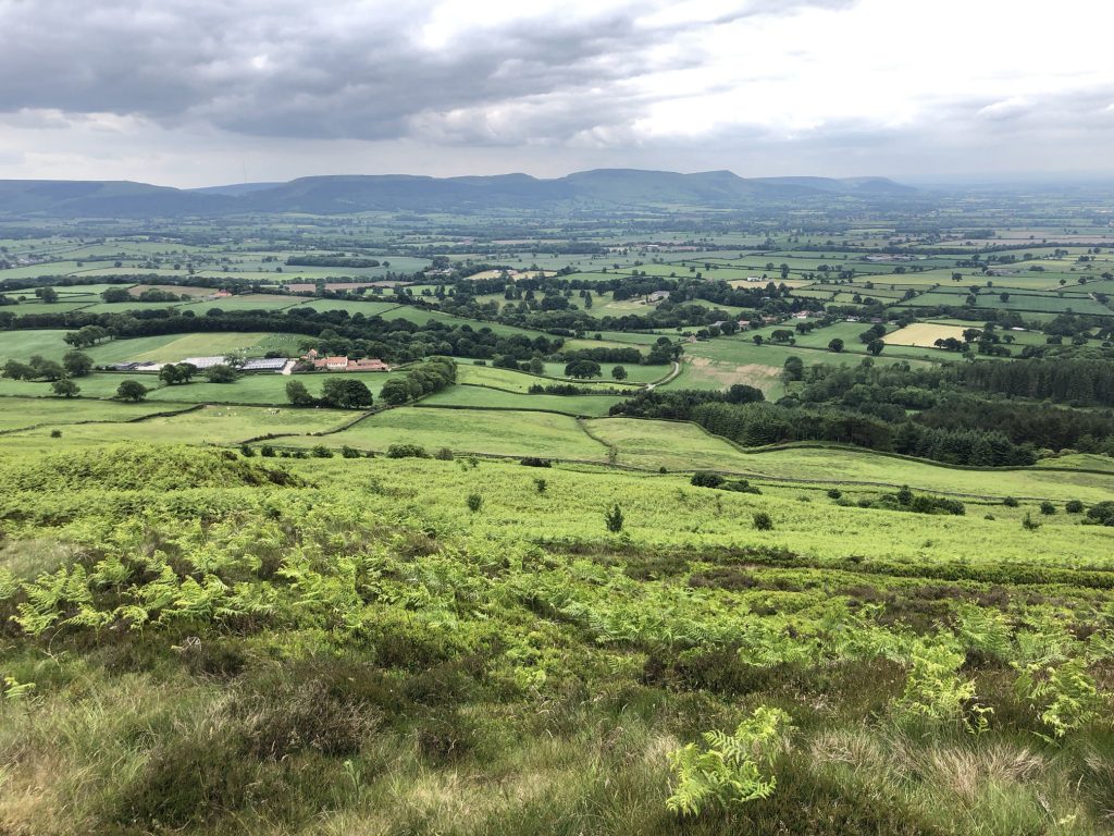
Looking south-west from Captain Cook’s Monument towards the Cleveland Hills.
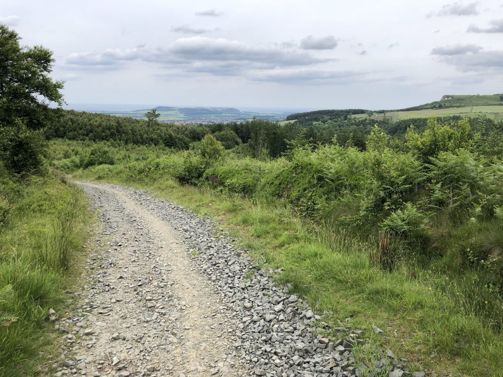
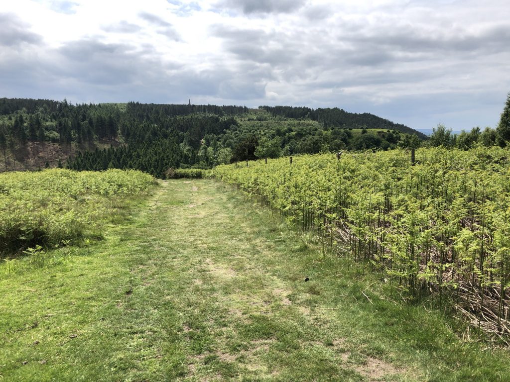
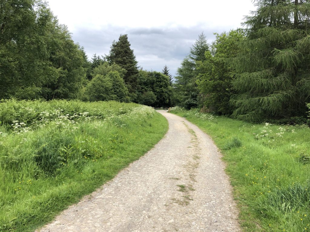
The track through woodland on Coate Moor.
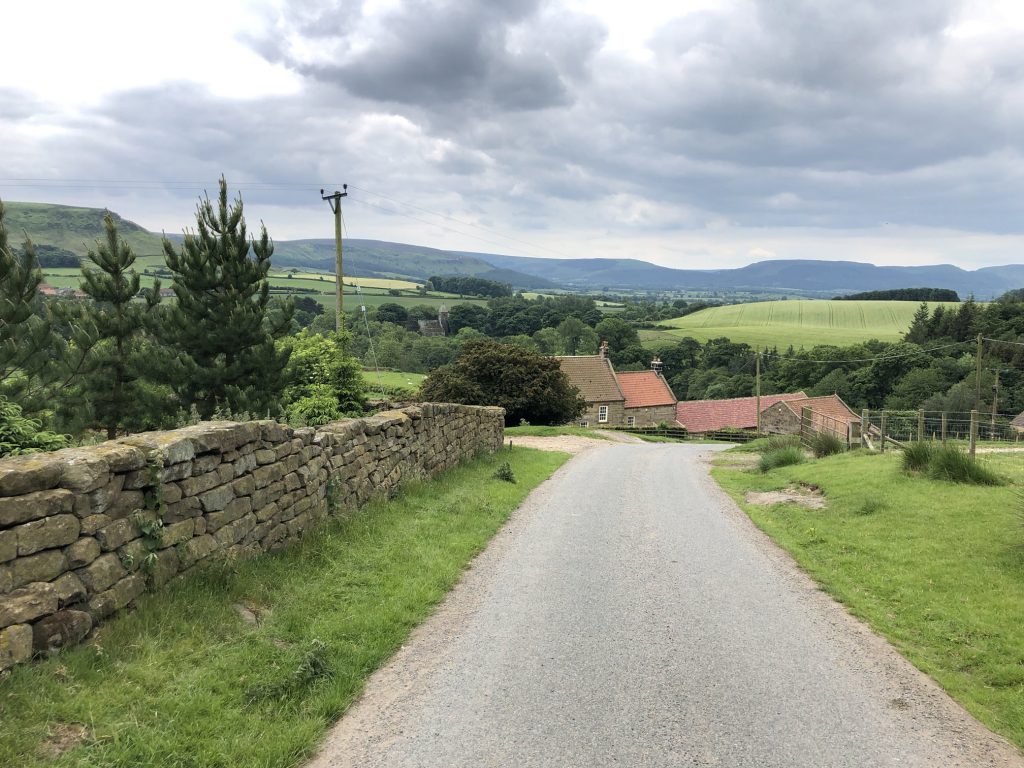
Bankside Farm, on the way down to Kildale, with the Cleveland Hills in the background.
The track which descends into Hutton Village. Highcliff Nab is on the horizon on the right.