North-west to Starbotton via Cross Wood, then further north to Buckden Lead Mine. South-west into Buckden village by following Buckden Beck through the steep-sided valley. South-east back to Kettlewell on the Dales Way, which generally follows the course of the River Wharfe. A 10-mile walk in the Yorkshire Dales.

Recommended Ordnance Survey Map
The best map to use on this walk is the Ordnance Survey map of the Yorkshire Dales Northern & Central Area, reference OS Explorer OL30, scale 1:25,000. It clearly displays footpaths, rights of way, open access land and vegetation on the ground, making it ideal for walking, running and hiking. The map can be purchased from Amazon in either a standard, paper version or a weatherproof, laminated version, as shown below.
Standard Version
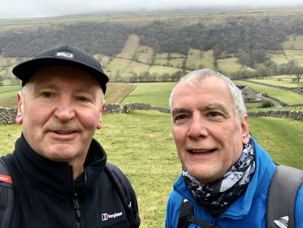
Two miles into the walk on an easy path from Kettlewell. Mike and I stop for a selfie just above Starbotton.
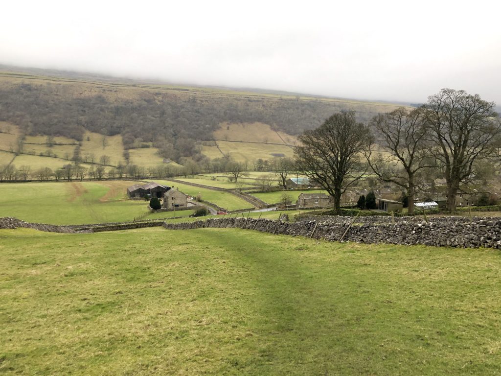
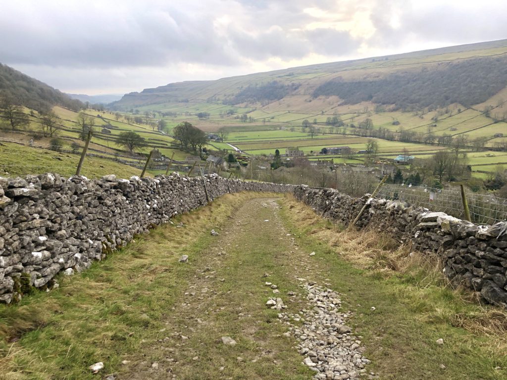
The path down to Starbotton on the Upper Wharfedale valley floor.
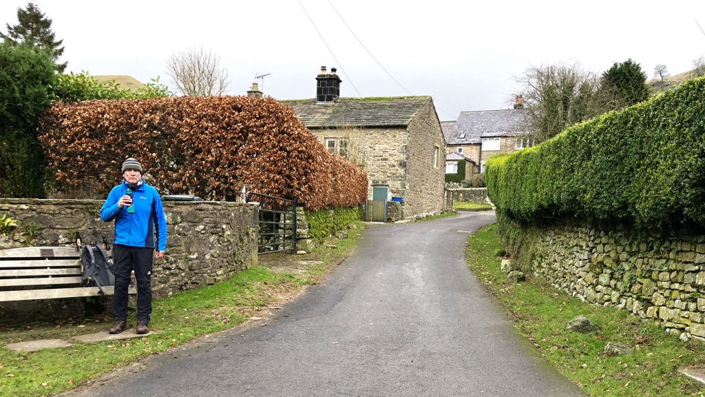
Time for a quick break in the lovely village of Starbotton.
Looking back towards Starbotton and the Wharfedale valley as we head uphill on the path to Buckden Lead Mine.
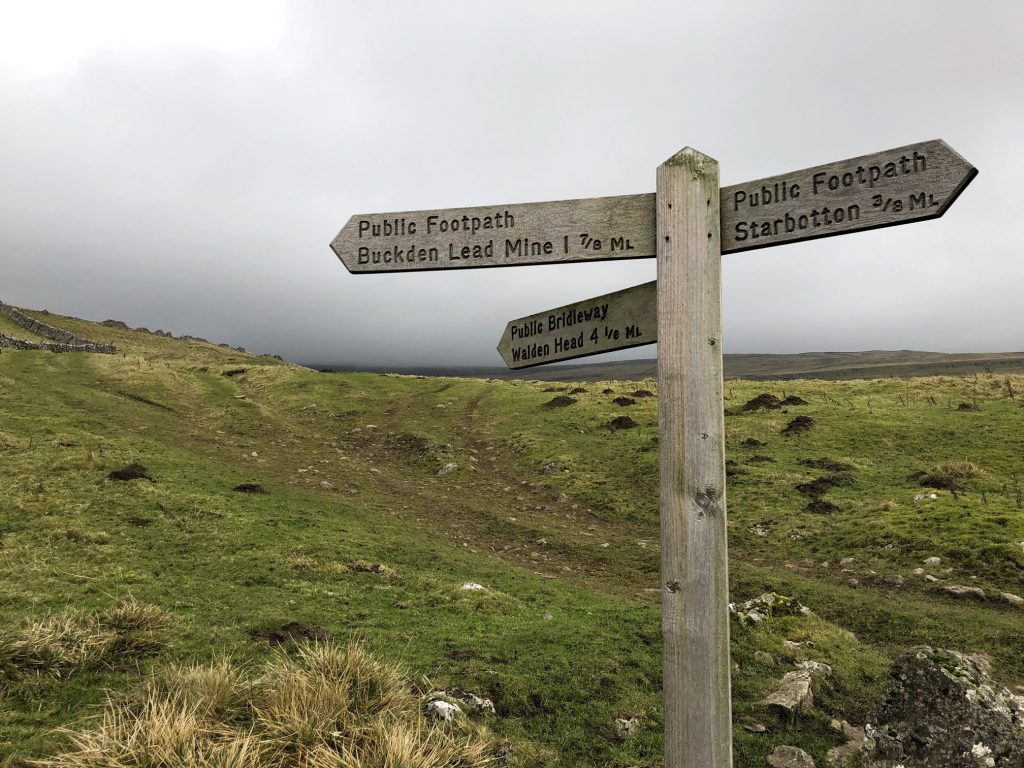
The makers of this sign obviously take their measurements very seriously, with distances shown in eights of a mile.
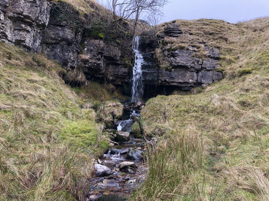
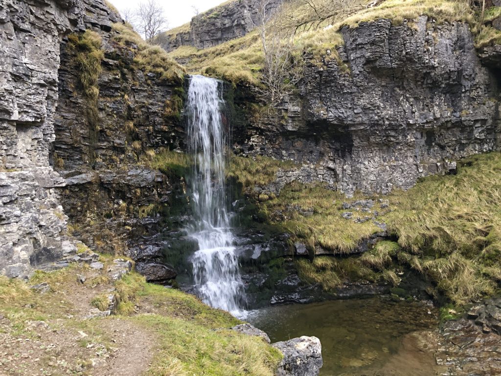
The start of the walk through the gill or ravine from Buckden Lead Mine down to Buckden village.
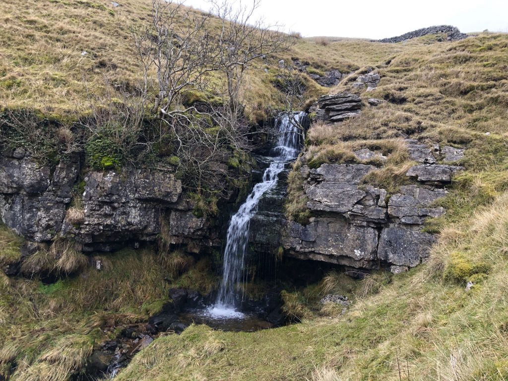
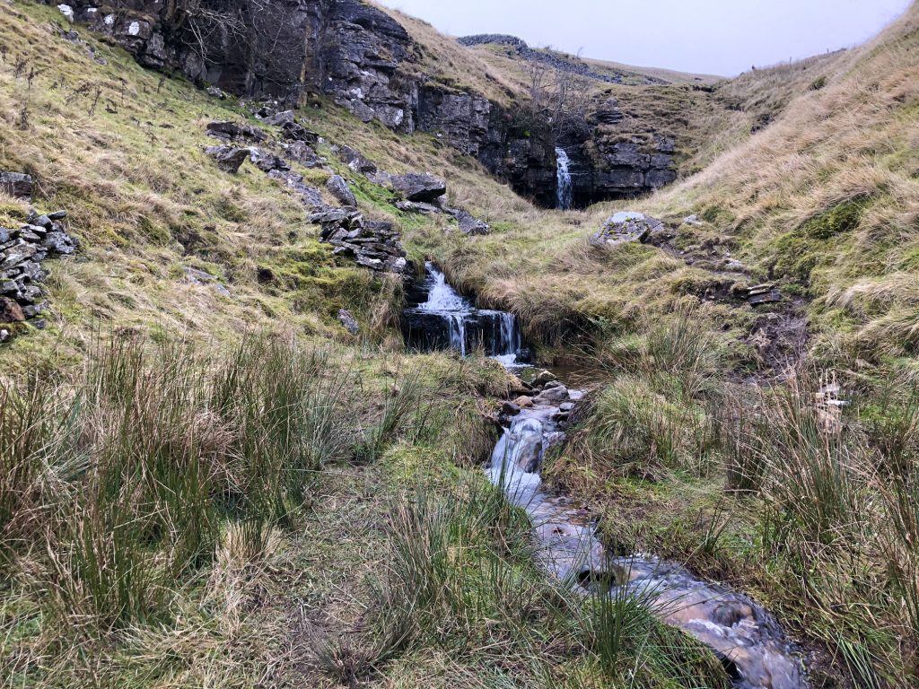
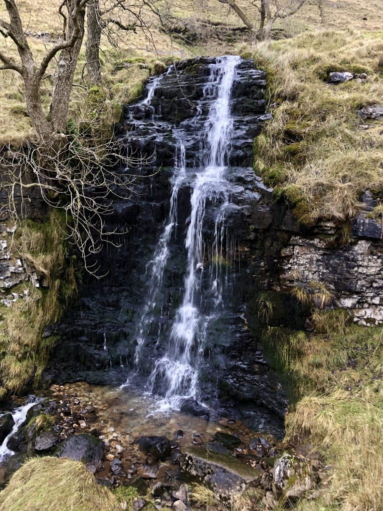
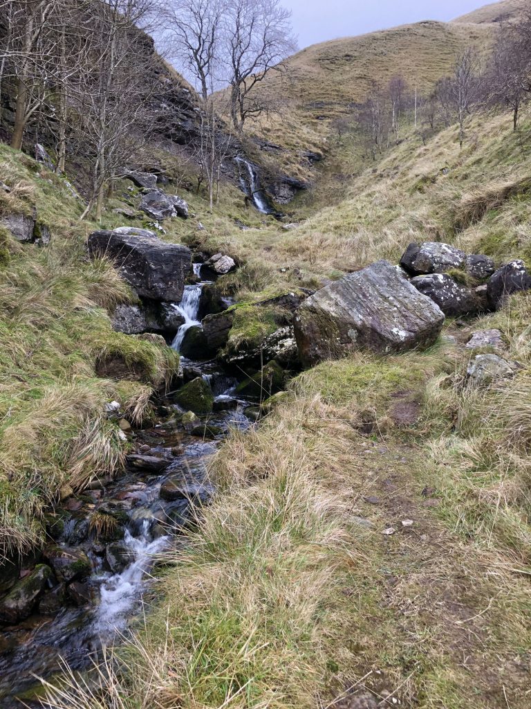
The stream running through the gill is Buckden Beck and there are several waterfalls along its milelong course.
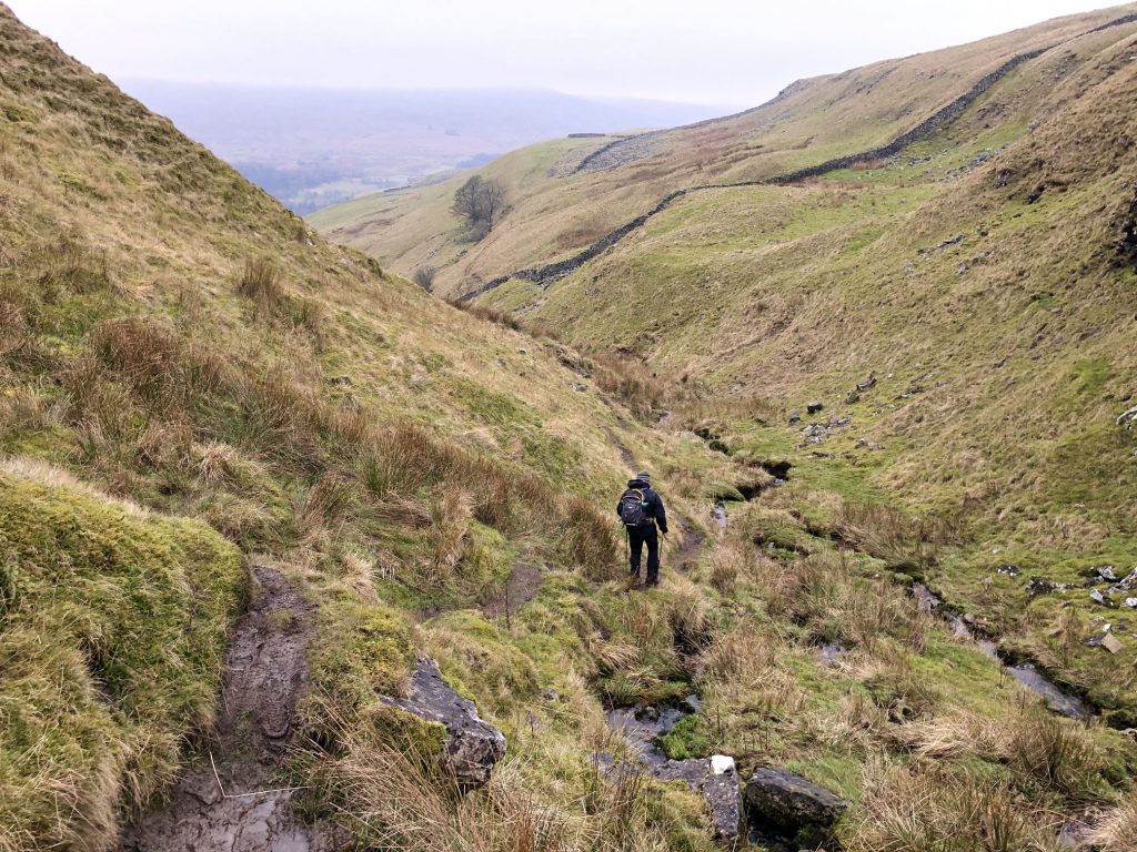
Three walkers negotiate the tricky path through the gill.
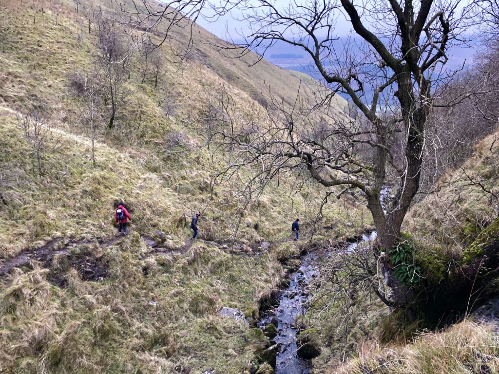
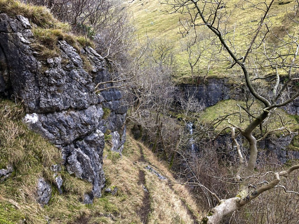
Buckden Beck has carved out a narrow valley with steep sides. In certain places the footpath is very close to the edge and great care is needed.
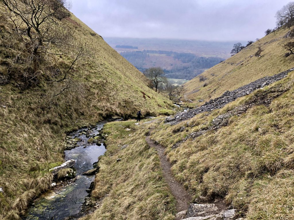
Two-thirds of the way down and the footpath is easier to walk along. Buckden village can be seen at the bottom of the ravine.
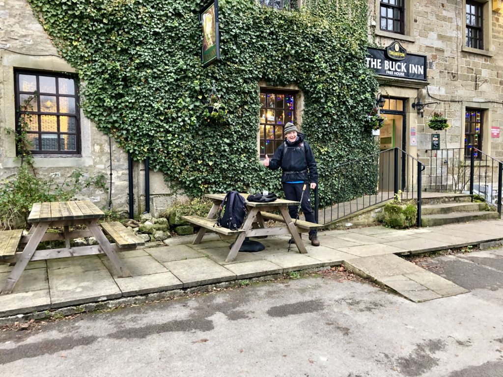
A quick half at the Buck Inn before we start the four-mile stretch from Buckden to Kettlewell on the Dales Way.