ADVERTISEMENT
Discover Natural Beauty on the Brimham Rocks Walk in Nidderdale
Start your Brimham Rocks walk in Pateley Bridge, where there is parking in the Nidderdale Agricultural Society car park. Leave the car park and turn right, following the road across the bridge over the River Nidd. Carry on along the main road, which is High Street, and head uphill through the town centre. At the top of High Street, just after the building once occupied by The Bradford Old Bank Limited, the road bends round to the right and becomes Ripon Road. Follow it past Pateley Bridge Methodist Church, then turn left up some steps opposite Well House, passing the doorway of number 2, The Terrace. You’re now on the route of the Nidderdale Way.
Follow the path uphill to reach Pateley Bridge Cemetery and the Commonwealth War Graves. Here the path widens and splits into two, so take the left-hand fork uphill. Almost immediately afterwards, instead of following the Nidderdale Way straight ahead, take the public footpath on your left up some steps. Follow this wall-enclosed path to reach the remains of the Church of Saint Mary the Virgin.
Walk past the front porch of the church on the cobbled path uphill, then turn right almost straight away through a wooden kissing gate in the dry stone wall to enter the fields. Follow the path across the fields to rejoin the tarmac path of the Nidderdale Way and turn left. Keep an eye out for the Victorian viewing platform known as The Rock on your right as you go.
When you reach the crossroads at Knott, continue straight ahead, signposted as a public bridleway to Blazefield and still following the Nidderdale Way. After Knott House Farm, turn left towards Hole House, again signposted as the Nidderdale Way to Blazefield, then immediately afterwards take the public footpath on the left-hand side through a gate in the dry stone wall. Follow this footpath along the edge of the fields to a crossroads with another bridleway and continue straight ahead, following the yellow waymarker arrows towards Tiplady Farm.
Walk all the way through the farm, passing the old blue police telephone box as you go, then leave by the twin-track tarmac lane called Bottom Road. When you reach the main road, the B6265, cross with care and follow the public bridleway opposite, signposted Nidderdale Way and Sandy Lane. The path bears off to the left in front of a row of terraced cottages, some bungalows and houses.
At the minor road, turn left and follow it, signposted as the Nidderdale Way. Where the road bends sharply to the left, take the footpath straight ahead between the dry stone walls, still on the Nidderdale Way. At the next minor road, turn right and head downhill, then as the road turns back sharply to the right, take the left-hand stony track signposted to Nidderdale Llamas.
ADVERTISEMENT
Follow this wide stone track, and when you reach the farm buildings at the top of the concrete driveway, take the public footpath on your left. Continue straight ahead on the route of the Nidderdale Way, ignoring two public footpaths on the right as you go. You’re now about a quarter of the way round your Brimham Rocks walk.
You’ll reach a crossroads at a small hamlet called White Houses. Five routes join here, and the spot is appropriately known as Five Ways. Continue straight ahead, still on the Nidderdale Way, where a signpost indicates a public bridleway to Ripon Road. When you reach a large wooden shed and a row of stone terraced cottages, turn right, signposted to The Rocks and marked as a public footpath still on the Nidderdale Way.
Continue straight ahead on the footpath downhill into the valley. When you reach a stone track, turn left, again signposted as a public footpath on the Nidderdale Way, and go across a cattle grid. Just after the cattle grid, turn right and drop down to a clearing, then cross the footbridge. Yellow public footpath waymarkers carrying the Nidderdale Way curlew symbol will guide you through this section.
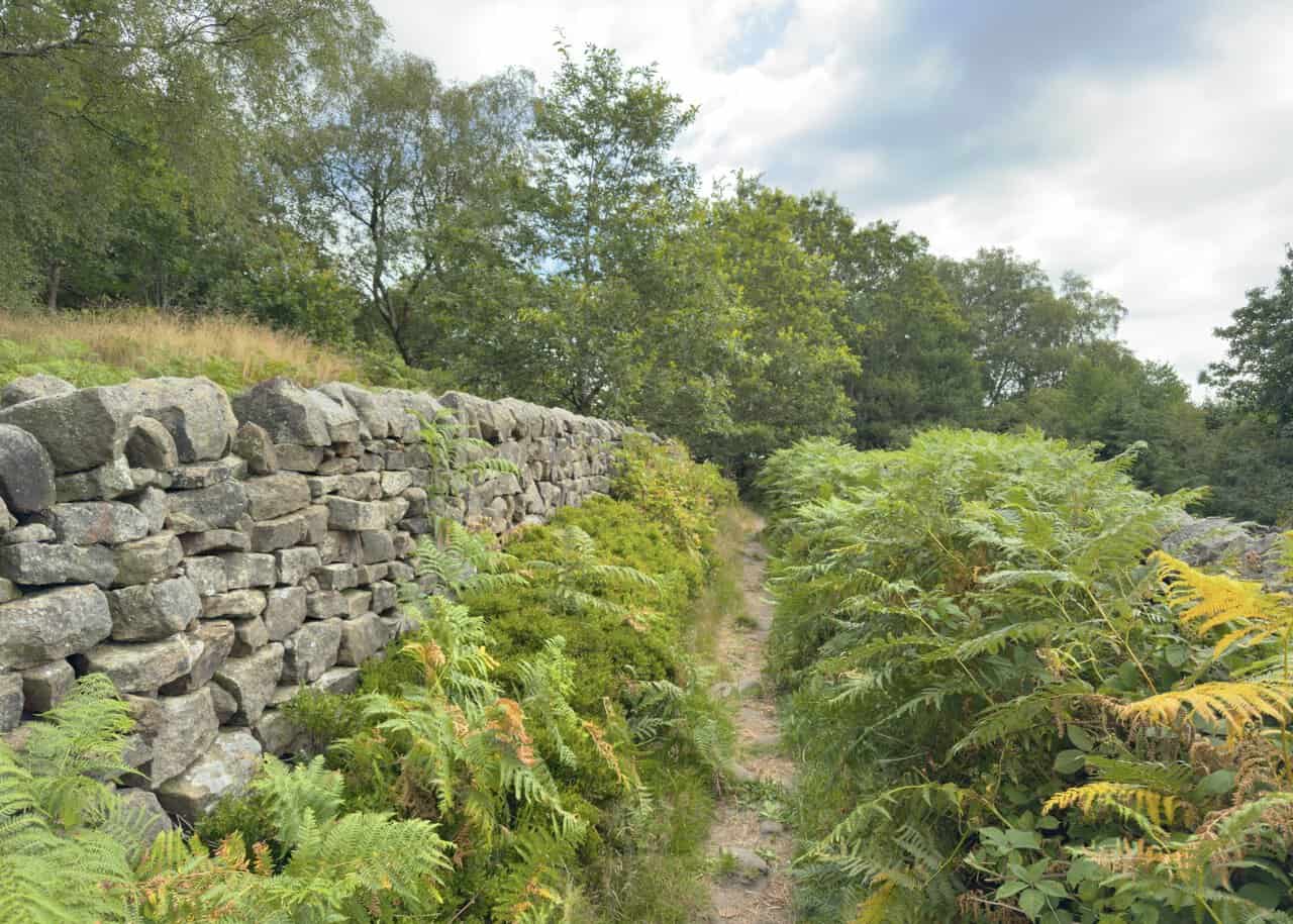
Turn right and follow the path into the woodland until you reach a moss-covered, partly collapsed dry stone wall on your left. As you carry on, you’ll notice a wall coming in from your right-hand side, so continue straight ahead and go through the gap using the stile. Look to your left and you’ll see a farmhouse over the hedge, and shortly after that turn left onto a public footpath. You’ll pass the farmhouse and its farm buildings on your left-hand side.
When you meet the twin-track tarmac lane, turn right. The lane becomes a wide stone track, and you simply keep following it uphill for just under half a mile, passing a large stone house and some farm buildings on your left and another farm on your right. As soon as you pass the entrance to Druid’s Cave Farmhouse on your right-hand side, turn left onto a path that climbs through the woodland and leads you up to Brimham Rocks.
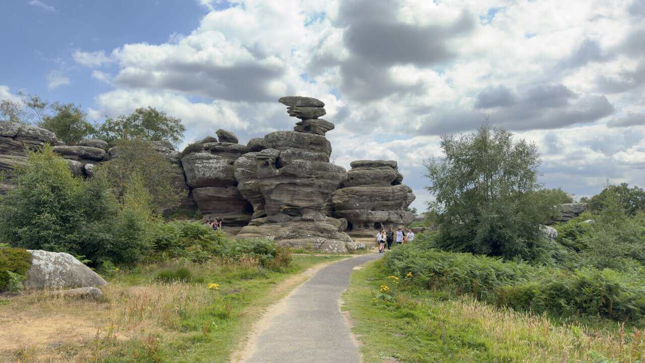
When you reach the signpost in front of the Brimham Rocks Visitor Centre, turn right along the tarmac path. This is signposted as the scenic route, and a nearby interpretation board will confirm that you’re on The Rocks route, shown in blue on the board’s map. Follow the tarmac path and turn right where it splits into two, staying on the blue scenic route through the central rocks.
ADVERTISEMENT
Brimham Rocks has three main car parks, and the tarmac path will bring you to the northernmost one. This is about the halfway point of your Brimham Rocks walk. Turn right and continue on a track heading south downhill towards the two southern car parks, which is where you’ll find the Welcome Hut. Carry straight on between the car parks, with one on your left and one on your right, and the track becomes a wider road.
This wider road bends round to the left to meet the B6451, the main access road for Brimham Rocks. Rather than going as far as the main road, take the right-hand track on the bend, signposted to Druid’s Cave Farmhouse. Almost straight away you’ll reach a wooden signpost with two paths on the left-hand side, both signposted to the Nidderdale Way, and you need to take the second of the two.
Follow this path alongside a dry stone wall for about a quarter of a mile, then turn right at the edge of the wood, signposted as a public bridleway. The curlew waymarker arrows will confirm that you’re back on the Nidderdale Way. Continue downhill on this straightforward path, which becomes more clearly defined as you go, ignoring any footpaths to the left and right. Stay on this route for about three-quarters of a mile.
At the bottom you’ll reach a T-junction, where you turn left along the concrete lane. Make your way downhill, passing Blaireaux Ghyll on your right-hand side. When you reach the minor road, turn right and head down into Smelthouses. Just before the bridge over Fell Beck, turn left onto a public bridleway signposted to Low Laithe, and follow the route down past Little Mill and Knox Hall.
When you reach the B6165 main road at Low Laithe, cross with care and take the public footpath directly opposite across the field. Cross the footbridge over the beck and turn left towards the River Nidd, then follow the path upstream beside the river for about a quarter of a mile before using the footbridge to cross over the Nidd.
On the other side, rather than turning left or right, keep straight ahead across the large field and make your way up to the farmhouse, Harewell Hall, on the right-hand side. This is about the three-quarter mark of your Brimham Rocks walk. Walk through the farm and follow the concrete lane west across the countryside, staying on it for a mile until you meet the River Nidd again at Glasshouses.
Cross Glasshouses Bridge over the river, then turn left onto the stone track signposted to Pateley Bridge. Follow this straightforward riverside route, known as the Six Dales Trail, for about a mile and a quarter. As you draw near to Pateley Bridge, look out for the sculpture called Pillars Past on the other side of a high wall on your right. The path brings you out onto the B6265 in Pateley Bridge, where you turn left and cross the bridge over the river to return to the car park and finish your Brimham Rocks walk.
Brimham Rocks Walk: Maps and Tools
Visit either the OS Maps website or the Outdooractive website to view this walking route in greater detail. Both platforms offer a range of features, including the ability to print the route, download it to your device, and export the route as a GPX file. You can also watch a 3D fly-over and share the route on social media. Additionally, this page includes a printable version of the walk in PDF format. Plus there is a supporting video, available for you to watch on YouTube.
Brimham Rocks Walk: Distance, Duration, Statistics
Distance: 9 miles
Distance: 14½ kilometres
Duration: 4¼ hours
Ascent: 1242 feet
Ascent: 379 metres
Type: Circular walk
ADVERTISEMENT
Recommended Ordnance Survey Map
The best map to use on this walk is the Ordnance Survey map of Nidderdale, reference OS Explorer 298, scale 1:25,000. It clearly displays footpaths, rights of way, open access land and vegetation on the ground, making it ideal for walking, running and hiking. The map can be purchased from Amazon in either a standard, paper version or a weatherproof, laminated version, as shown below.
Weatherproof Version
Ordnance Survey map of Nidderdale, reference OS Explorer 298, scale 1:25,000
About Brimham Rocks
Brimham Rocks are a remarkable collection of balancing rock formations on Brimham Moor in North Yorkshire, some standing nearly 30 feet high. They lie within land cared for by the National Trust and form part of the Nidderdale National Landscape.
The formations were shaped over a vast span of time as millstone grit was worn away by water, ice and wind, leaving all manner of strange and striking shapes. Many have been given names over the years, though a little imagination and the right viewing angle certainly help. Among them are the Sphinx, the Watchdog, the Camel, the Turtle and the Dancing Bear.
Related Walk: Similar to the Brimham Rocks Walk
Explore lead mining heritage and Wath Mill on the Pateley Bridge walk
Brimham Rocks has drawn film and television crews too. The children’s series ‘Roger and the Rottentrolls’ was filmed here, the rocks appear in the Bee Gees’ video for ‘You Win Again’, and they were used once as a location in the sixth series of the adventure game show ‘Knightmare’. You can read more about Brimham Rocks on Wikipedia.
Brimham Rocks Walk: My Photos
I begin my Brimham Rocks walk in the Nidderdale Agricultural Society car park and cross the bridge over the River Nidd towards the centre of Pateley Bridge. The Nidd rises high on Great Whernside and takes its name from a Celtic word meaning bright or shining, running the length of Nidderdale before it eventually joins the River Ouse.
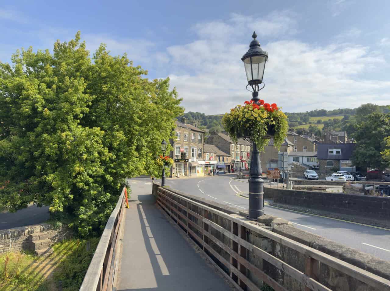
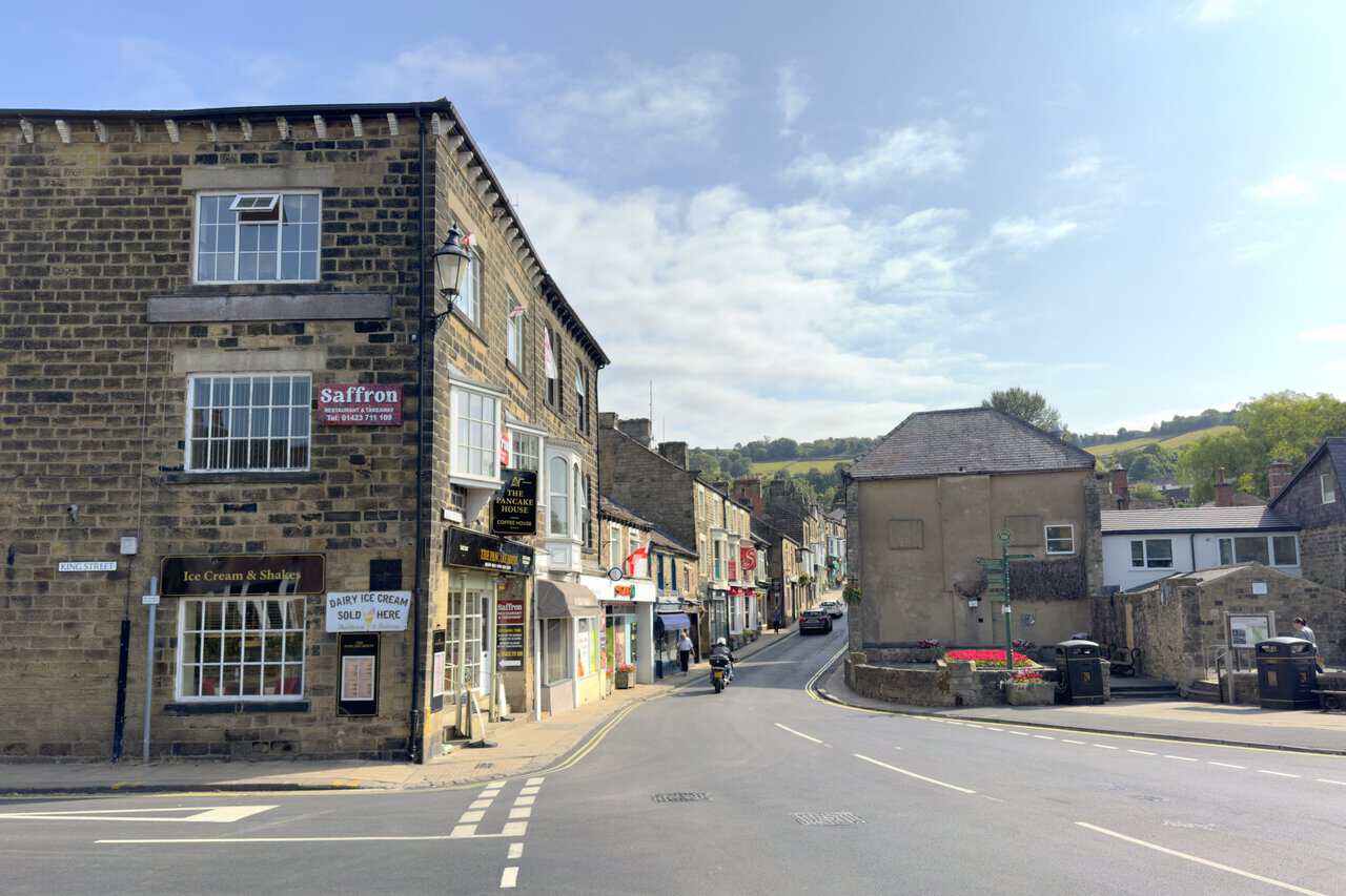
Across the bridge I make my way directly uphill along the High Street. Pateley Bridge is a historic market town at the heart of Nidderdale, now a National Landscape, and its stone-built main street climbs steadily away from the river with shops and cafes on either side.
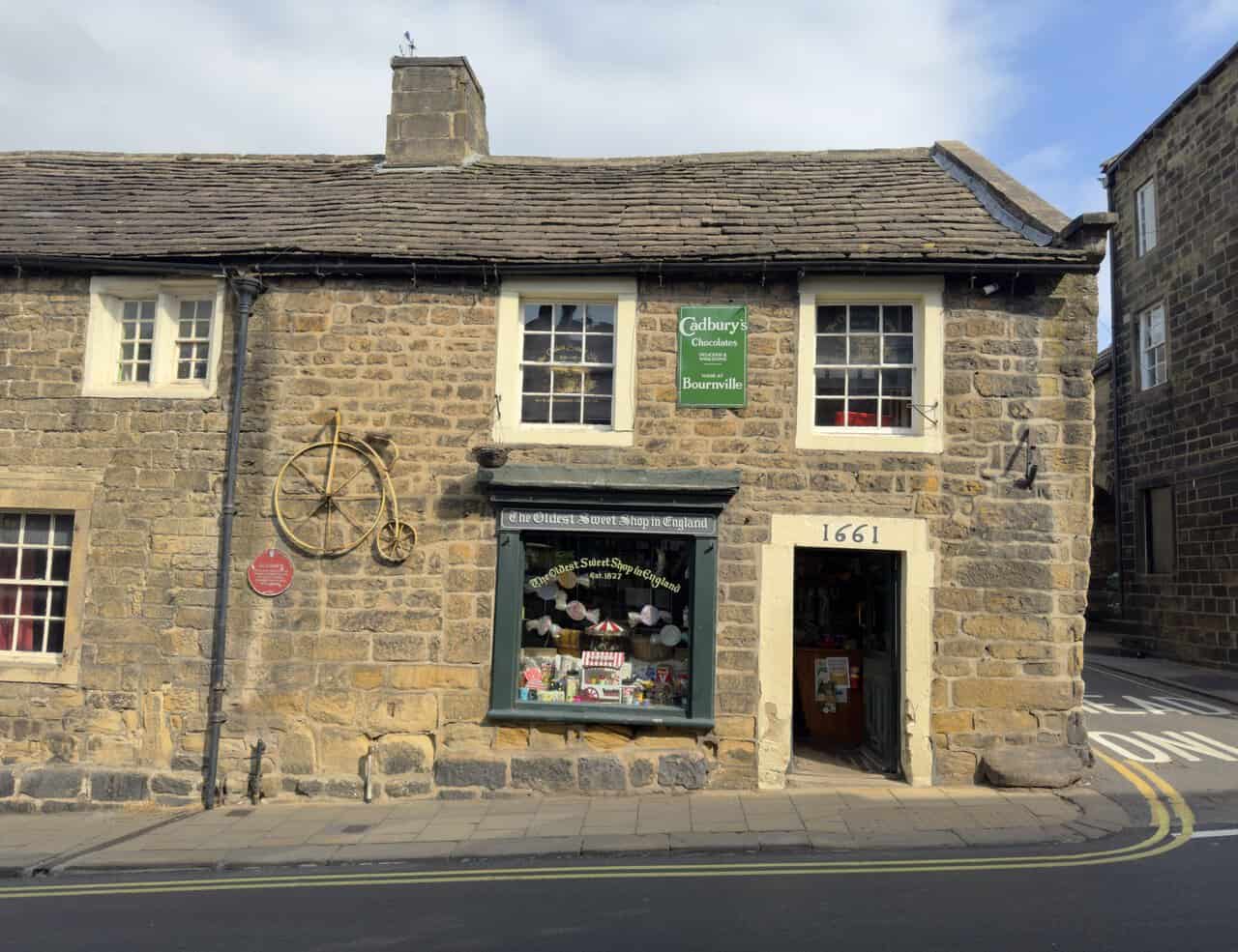
On my way up I pass the Oldest Sweet Shop in England, the date 1661 carved above its doorway. The shop has traded here since 1827 and holds a Guinness World Record as the oldest continuously trading sweet shop in the world, while the building itself began life as an apothecary in the early 1600s.
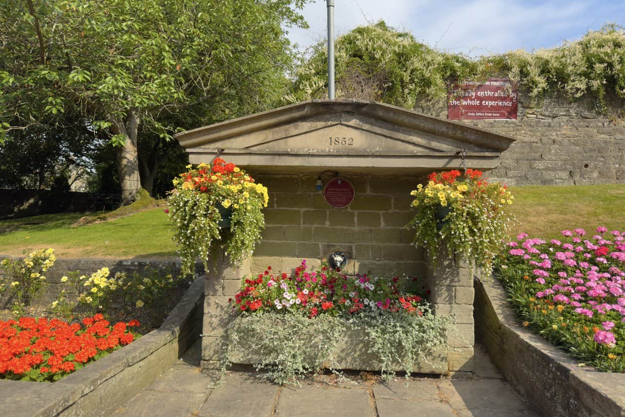
At the top of the High Street a handsome covered well catches my eye. It’s Fox’s Head Well, its pediment dated 1852, originally erected on Ripon Road as Sunter Well and brought to this spot in the 1970s, with a small fox’s head spout set into the stone below.
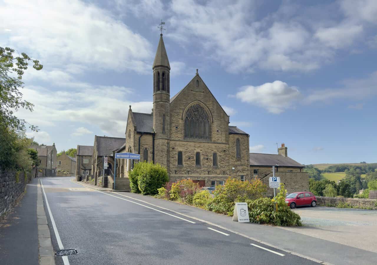
The road bends round to the right here and becomes Ripon Road, and a little further on I reach Pateley Bridge Methodist Church. Its slender spire and tall traceried window rise above the roadside, and just beyond it I turn off to join the route of the Nidderdale Way.
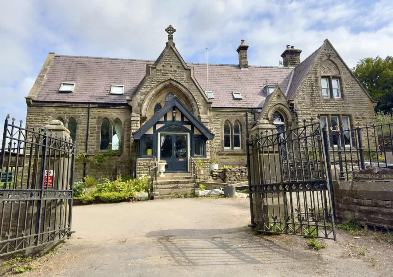
The path takes me past the front of Pateley Bridge Cemetery, its gates standing open beside the old lodge. The burial ground holds five Commonwealth war graves from the two world wars, though my Brimham Rocks walk stays on the path and carries on past.
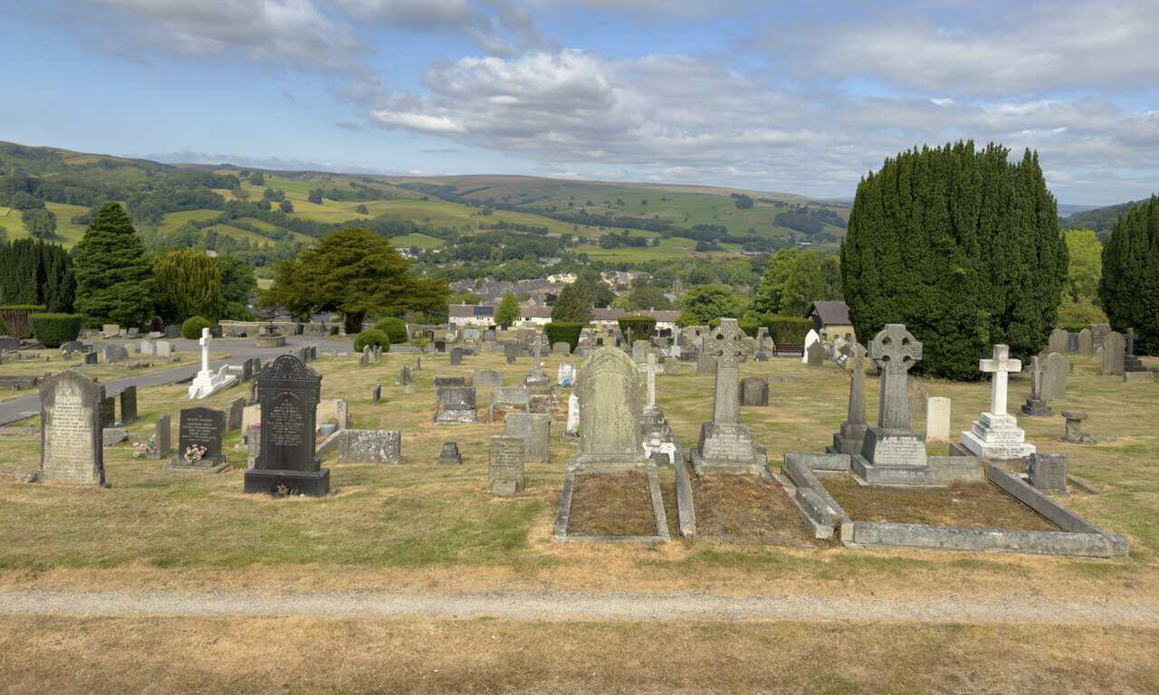
A little further along the path runs beside a wall, and looking over it the whole cemetery spreads out below me. The land falls away to the north-west, with Pateley Bridge settled into the green floor of Nidderdale and the moors rising on the far side.
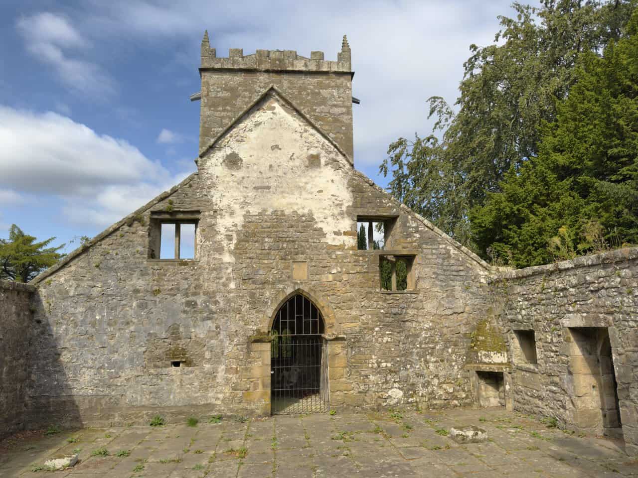
The old Church of Saint Mary the Virgin stands on high ground at Church Green, and it’s a place with a long and much-altered history. It was first mentioned in 1320 and probably dates from the reign of Edward I, when a parochial chapel was raised in the latter part of the thirteenth century on the site of something older still, within the prebendary of Studley in the great parish of Ripon. The battlemented tower came much later, added in 1691 while Thomas Furnis was curate, and his initials can still be picked out above the tower entrance. An interpretation board sheltered against the wall sets the whole story out for anyone who stops to read it.
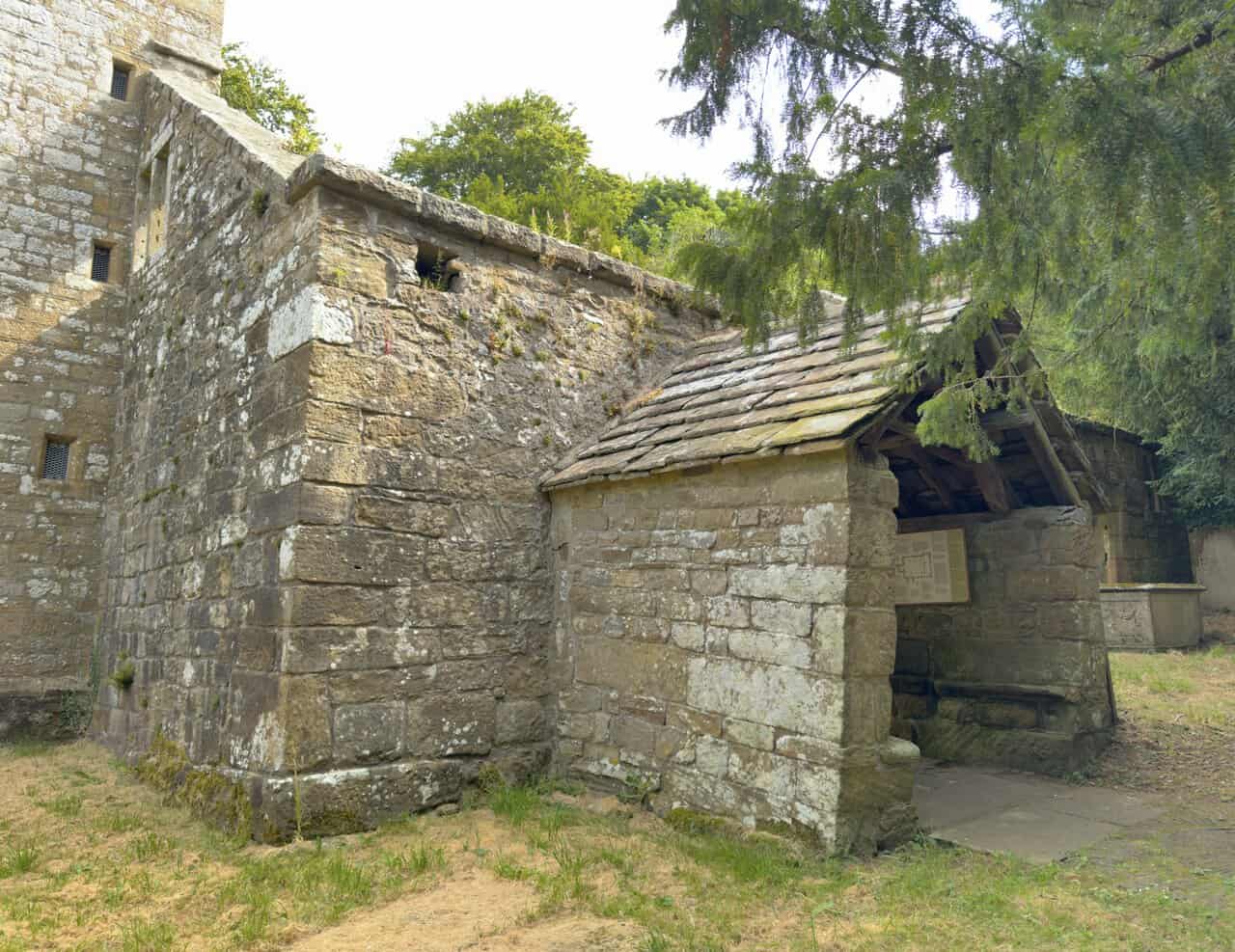
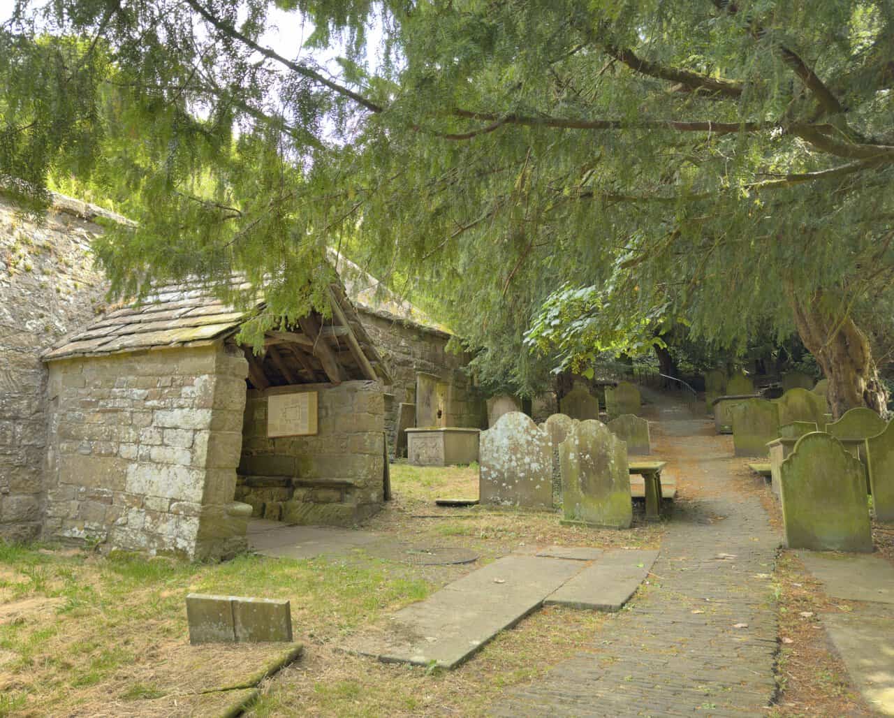
I follow the path in beneath a great yew, one of several in the churchyard. These trees were held sacred and may mark a place of worship far older than any church, their berries harmless to birds though poisonous to people, while holly and ivy grow here too, once thought to keep evil at bay. The burial ground holds memorials going back to 1684, baluster and panelled table tombs standing among headstones with beautifully carved inscriptions, and away to the south-west lies the grave of Mary Myers, who died in 1743 reputedly aged nearly 120. The main entrance is the south porch just ahead, sheltering a fine dovetailed roof frame of collar trusses and windbraces.
Stepping in through the porch, I find myself inside the roofless shell of the church, ledger stones set into the floor and the walls open to the sky. By the late eighteenth century the building had grown too small and too costly to keep, and once it was formally closed in 1826 its materials were sold to help pay for St Cuthbert’s, the larger church built down in the town in 1827. A small corner stayed roofed as a burial chapel right up to 1880, when even that was taken down, leaving the ruin I stand in today. It was here in 1780 that John Wesley preached, and the very pulpit he used now stands in the Methodist Church I passed on the way up. Local legend even has it that the devil once fled through the north door as a child was carried in for baptism.
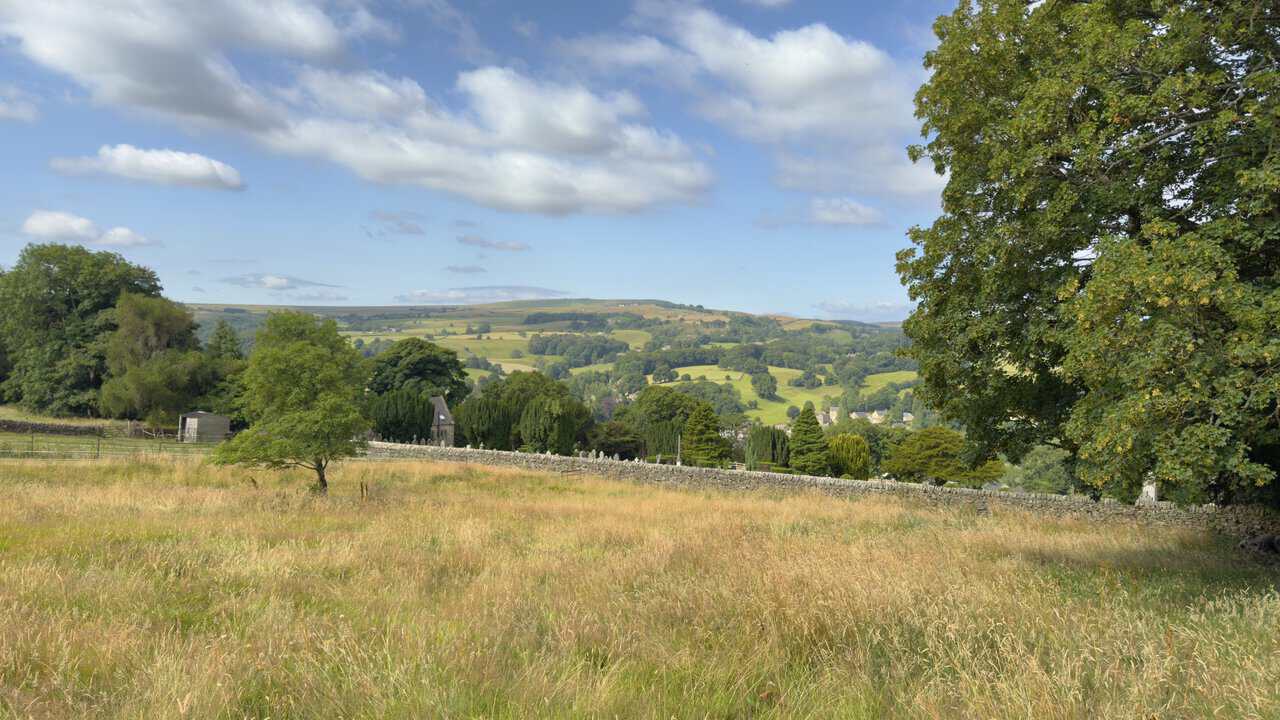
Leaving the church behind, I cross a rough meadow back towards the Nidderdale Way, and what a view opens up as I go. Over a dry stone wall the cemetery lies among its dark evergreens, and beyond it the fields and woods of Nidderdale roll down into the valley and rise again to the moorland tops on the skyline. A big tree frames the scene on the right, with a scatter of houses marking the valley floor far below.
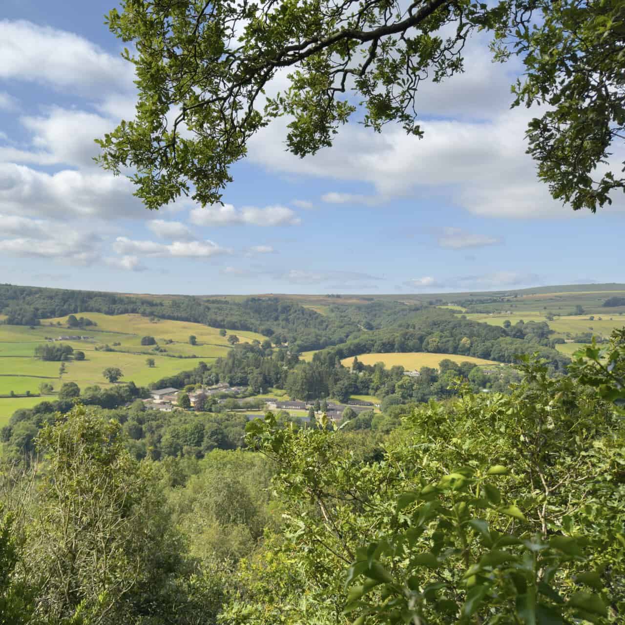
Back on the Nidderdale Way I come to The Rock, a viewing platform that’s the highlight of this stretch of my Brimham Rocks walk. It was first railed and surfaced in 1887 for Queen Victoria’s Golden Jubilee, the same year this old lane was renamed Panorama Walk, having been known before that as Nooking or Knott Lane. Long before either name it carried packhorses and travellers on the medieval road between Ripon, Fountains Abbey and Pateley Bridge, and the view it gives over Nidderdale, framed here by an oak, shows why the Victorians thought it worth a stop.
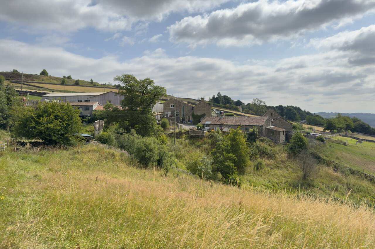
The Way brings me up to Knott, a small huddle of stone houses and farm buildings on the hillside. Here my Brimham Rocks walk leaves the lane for a public footpath that strikes out across the fields towards Tiplady Farm.
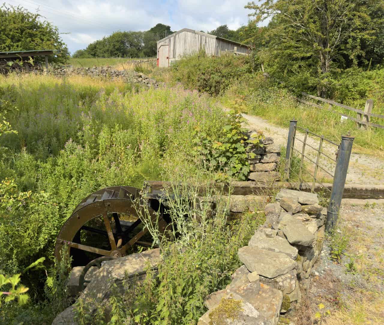
Just before the farm I come across a wonderful old relic beside the track, a rusting iron waterwheel set into a stone pit. It’s an overshot wheel, turned by water fed along a channel from a small pond on the other side of the track and spilling over the top to set it going. Half hidden now among tall grass and wildflowers, it’s a reminder of the days when running water did the work here.
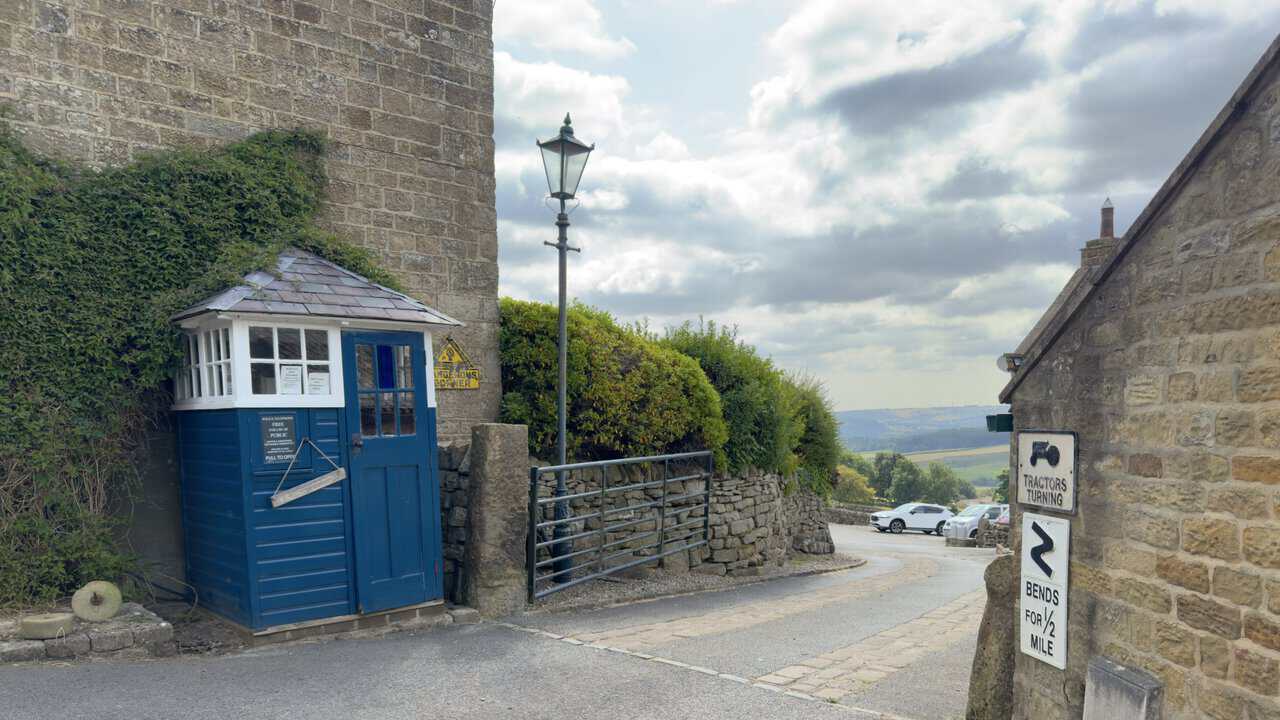
Walking on through Tiplady Farm, I pass another curiosity, a beautifully kept former police box painted bright blue, its panel still inviting the public to pull the door and telephone for help. These once stood at roadsides across the country, and it’s a treat to find one kept in such good order out here in the dale.
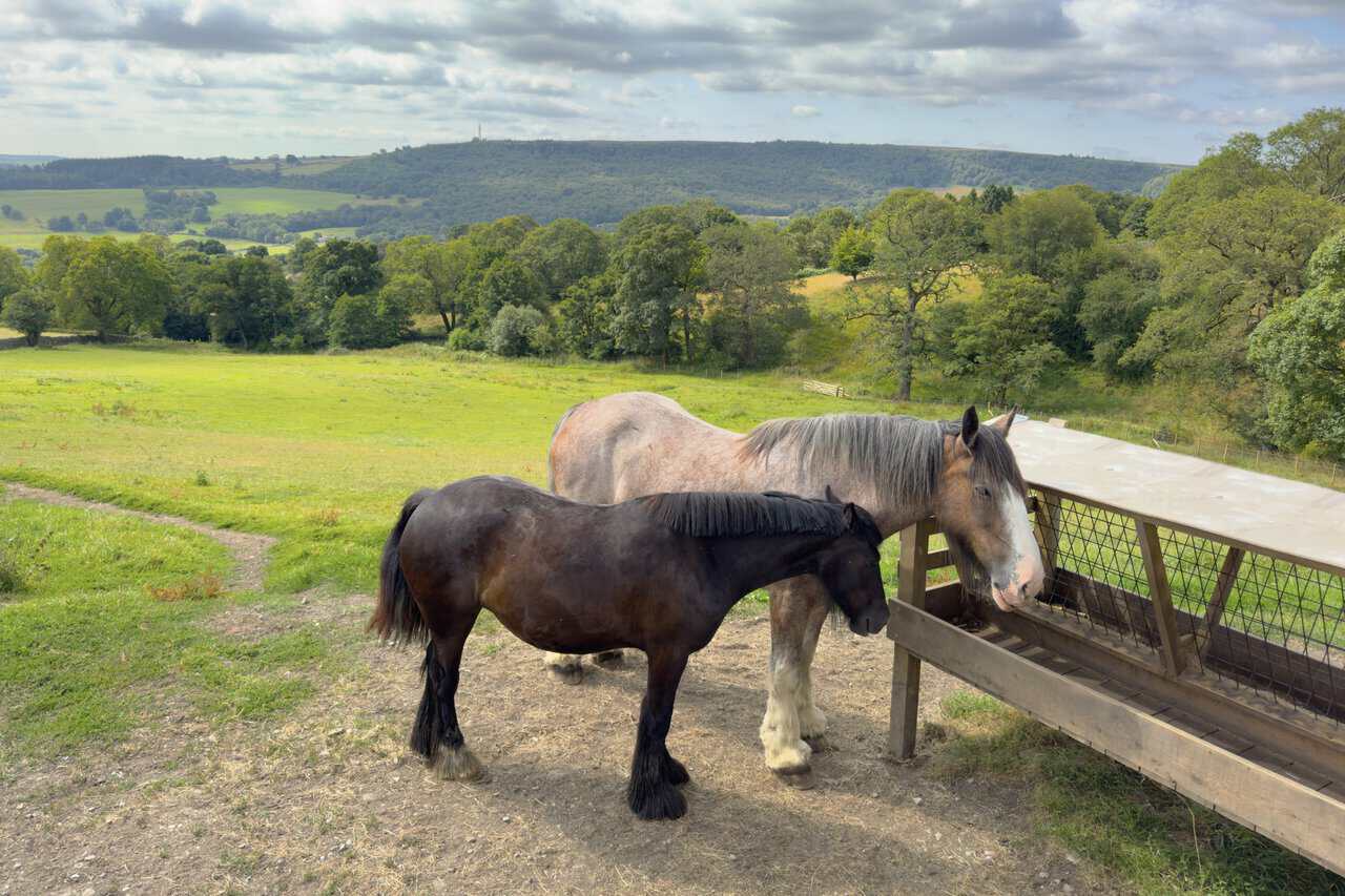
Two heavy horses stand at their trough as I take one last look across the valley before leaving Tiplady Farm. It’s a fine outlook over the dale to the wooded hills opposite, and from here I follow Bottom Road, a quiet tarmac lane, down to the B6265.
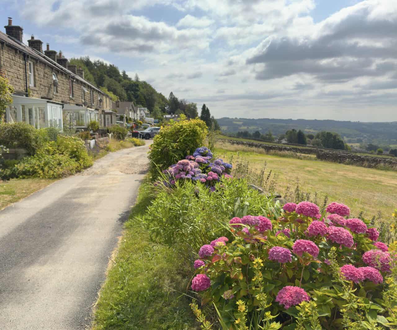
After crossing the main road I pick up a delightful stretch of path that runs in front of a row of terraced cottages, with bungalows and houses beyond, in the area known as Blazefield. Hydrangeas crowd the verge in pink and blue, and away to the right the ground drops into the dale.
Further along the Nidderdale Way the country opens out to the south, a wide sweep of walled fields and scattered trees running up to the moors. On the far ridge I can just make out what looks like a communications mast, standing over the high ground of Heyshaw Moor near Abraham Crags.
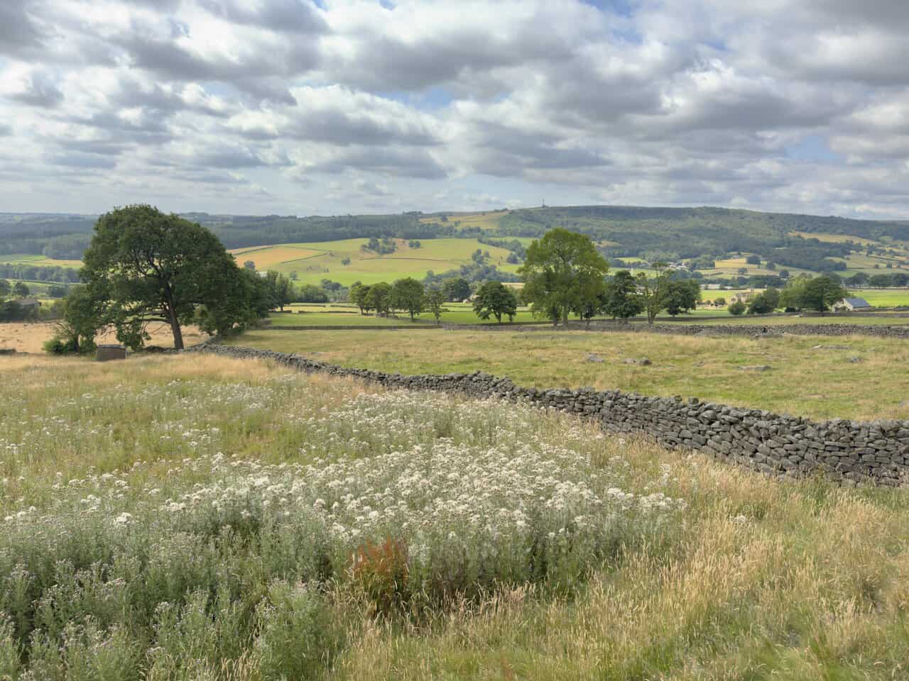
The Nidderdale Way narrows to a footpath here, running beside a dry stone wall with bracken pressing in on either side. It’s an easy, pleasant stretch that carries my Brimham Rocks walk on towards the little hamlet of White Houses.
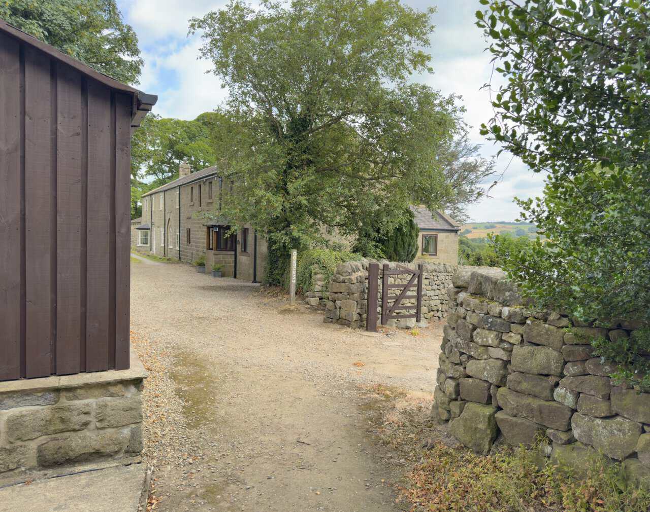
I come to a large wooden shed and a row of stone cottages, where a waymark post marks the way. Here I turn right, signposted to The Rocks and still on the Nidderdale Way, with the valley opening up ahead.
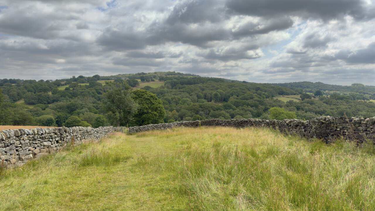
I continue on the footpath downhill into the valley, dry stone walls running along on either side. Ahead of me rises the wooded swell of Brimham Moor, and somewhere up on that skyline stand the rocks that give this Brimham Rocks walk its name.
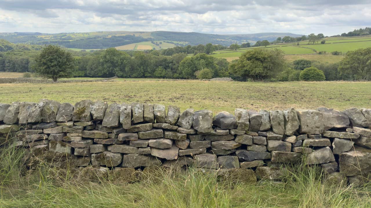
Having crossed the valley I climb the far side, where a wide stone track carries me on for just under half a mile with delightful views the whole way. Over the dry stone walls the country rolls away in a patchwork of green fields and dark woodland, rising to the long line of the moors on the horizon.
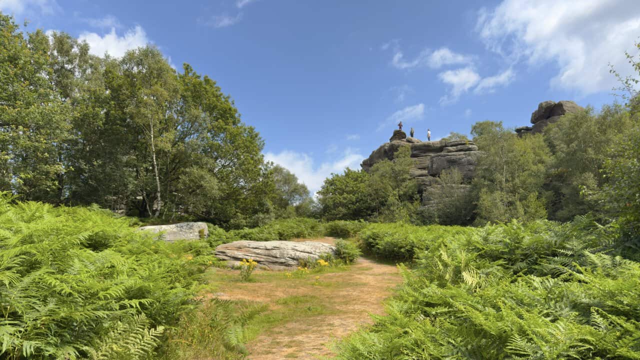
The path brings me up onto Brimham Moor and my first close sight of the rocks, roughly the halfway point of my Brimham Rocks walk, with visitors already perched on top of the nearest outcrop. These giant gritstone shapes were carved from sand laid down by an immense river around 100 million years before the first dinosaurs, so climbing up among them really is a step back into deep time.
From higher up I get an overview of the whole site, a wonderland of weathered stacks and balanced boulders spread across the moor, with families picnicking among them. Brimham Moor carries three kinds of heather, ling, cross-leaved heath and bell heather, and together with the rocks these have earned the place its status as a Site of Special Scientific Interest. Waymarked routes fan out from here, a blue one through the central rocks, an orange one round the woodland and a purple one onto the open moor past Mushroom Rock.
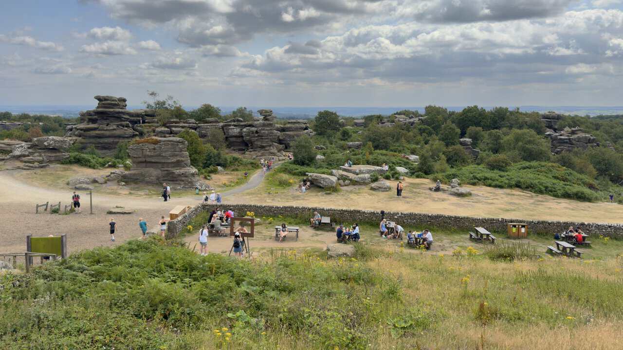
I follow the scenic route, the blue Rocks path on the map, as it winds on a tarmac way through the heart of the formations. All around rise the strange shapes that centuries of wind, rain and frost have sculpted from the grit, each one seeming to balance more improbably than the last.
Leaving Brimham Rocks behind, I carry my Brimham Rocks walk on along the Nidderdale Way. Some of the paths through here are a real pleasure underfoot, laid with a soft wood-chip surface that makes for easy walking as the route winds off across the moor.
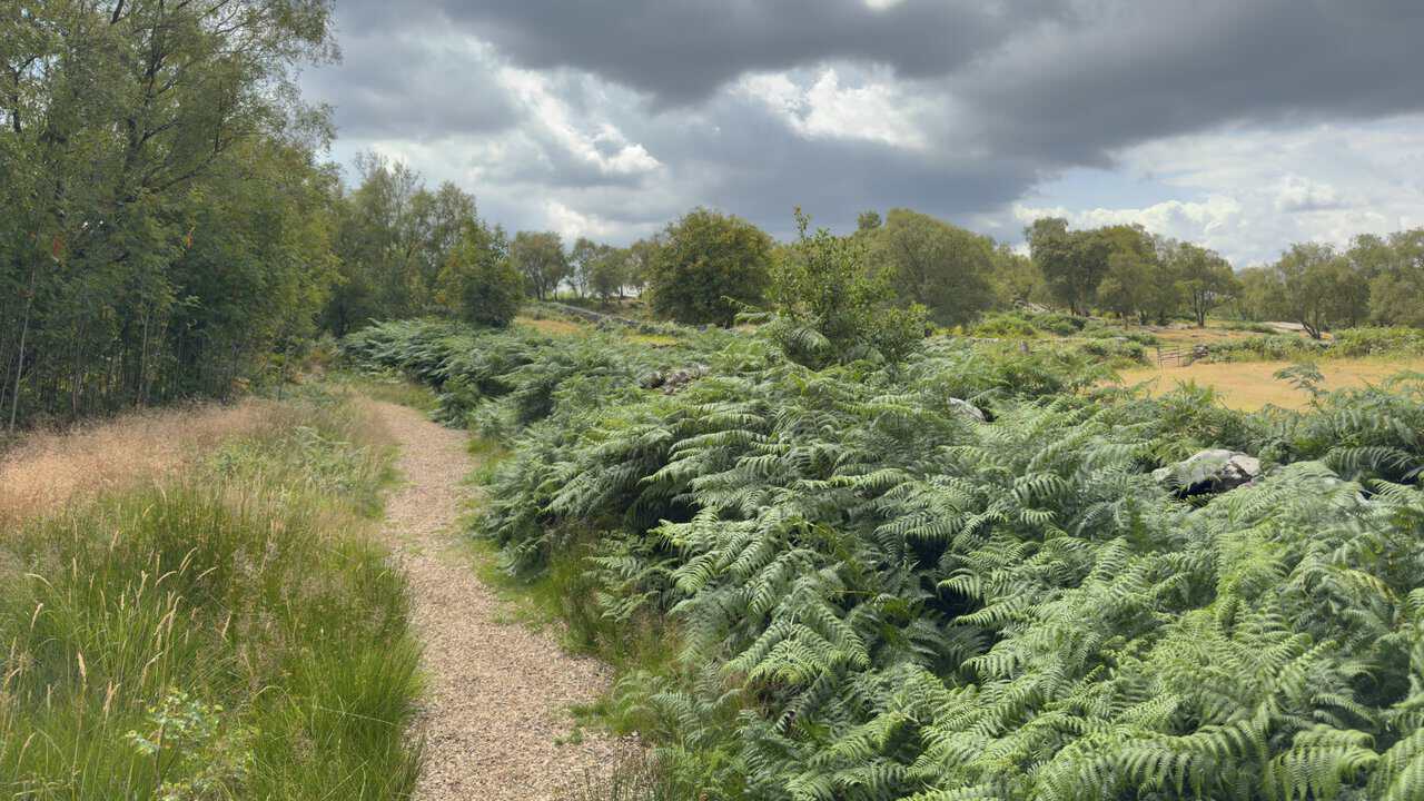
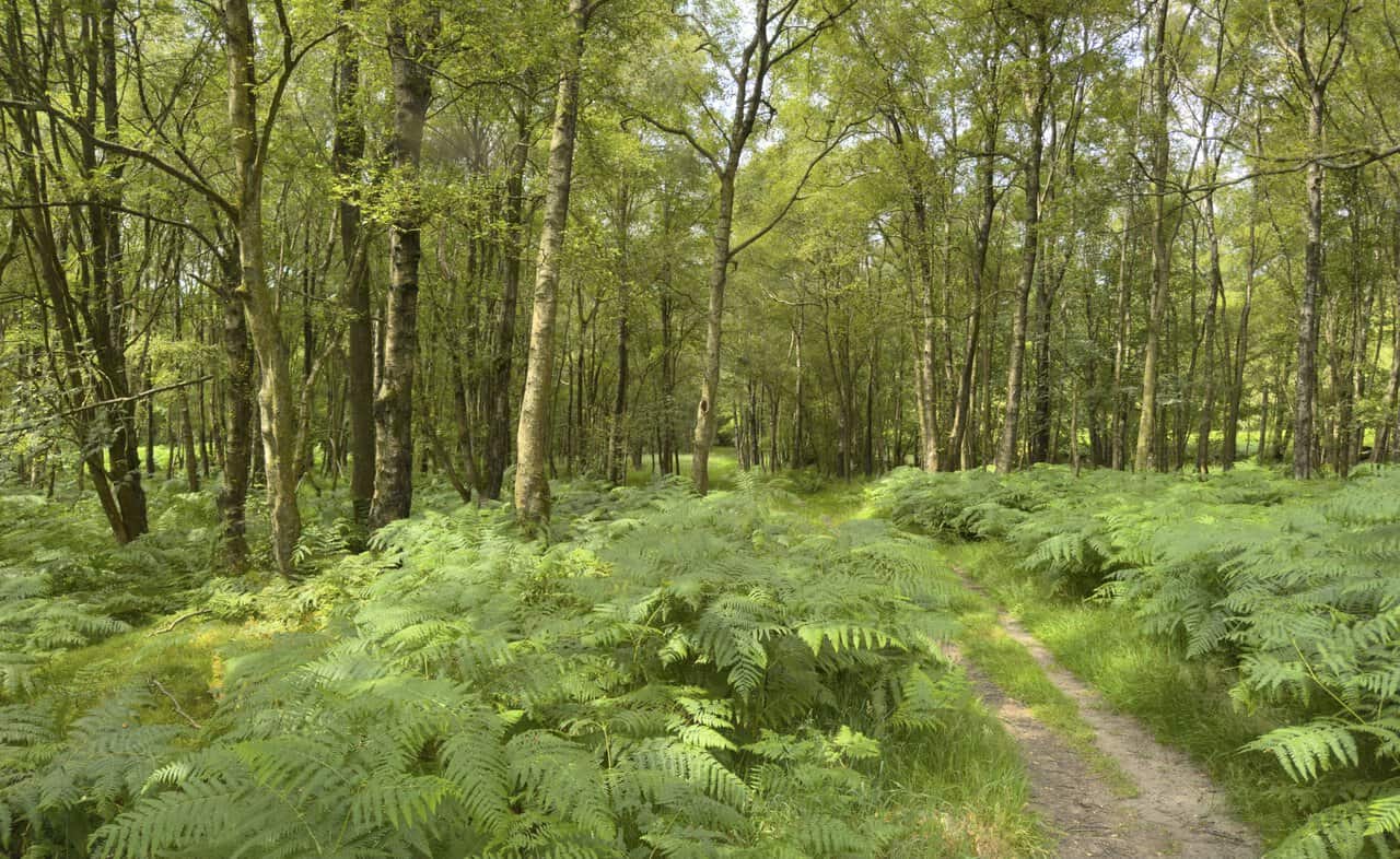
A lovely stretch of the Nidderdale Way now leads me west through High Wood. Slim birches and alders rise on either side of the grassy path, with ferns crowding the woodland floor between them.
The wood opens out to wonderful countryside, the path running on past fields and hedges towards the distant hills. Curlew waymarkers along the way confirm I’m still on the Nidderdale Way.
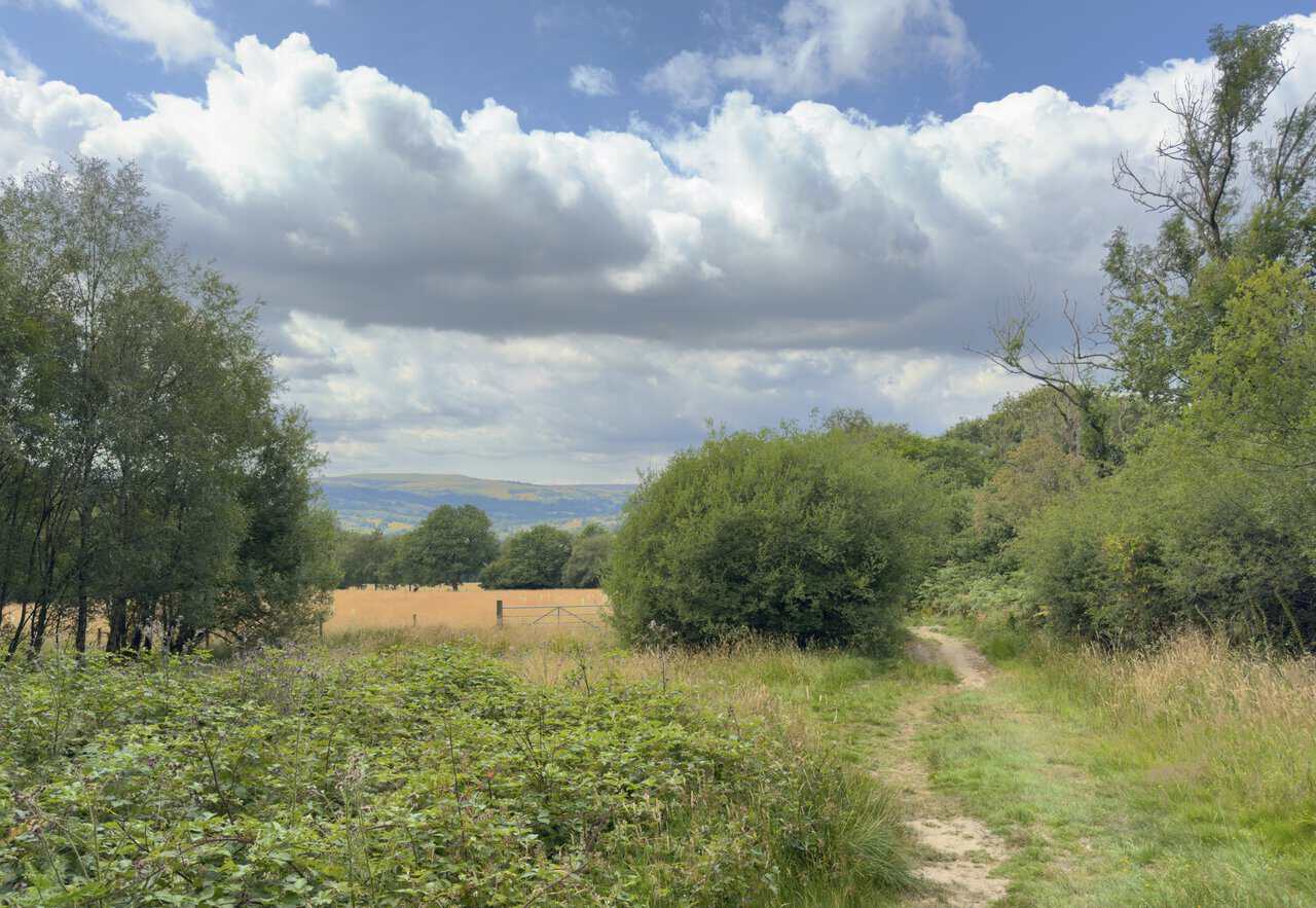
At a T-junction I turn left along a concrete lane and head downhill, passing Blaireaux Ghyll on my right. Where the lane meets a minor road I turn right and drop down into the hamlet of Smelthouses.
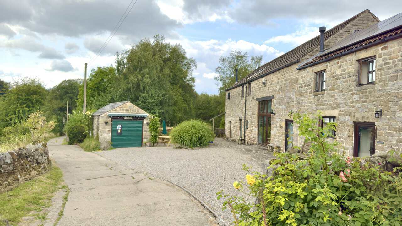
From the bridge over Fell Beck in Smelthouses I catch a lovely view of a fine old stone house set above its garden. Ivy climbs its walls and the terraced grounds below are full of fruit trees and flower beds, with woodland rising thickly behind.
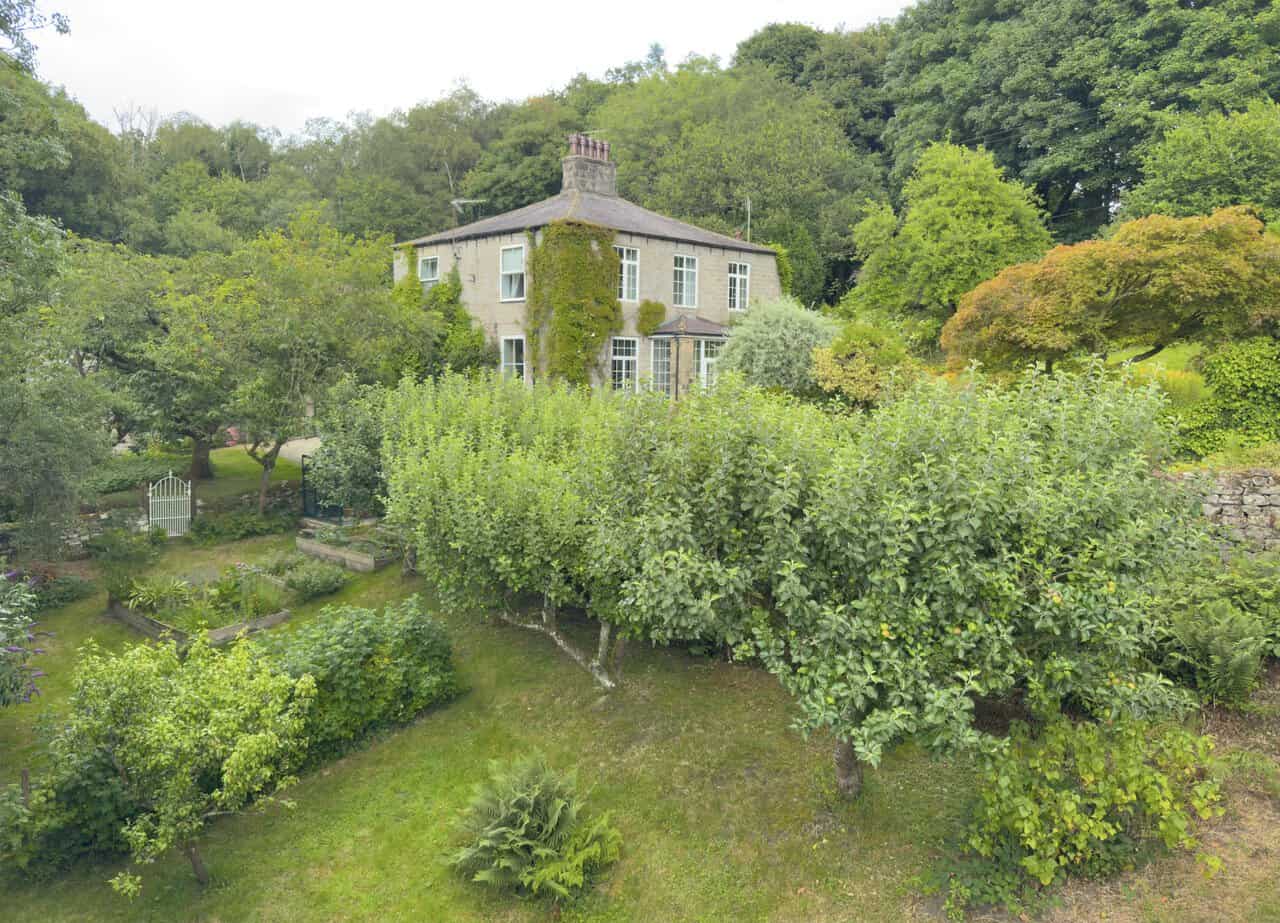
Just before the bridge over Fell Beck I turn left onto a public bridleway signposted to Low Laithe. It’s a lovely, peaceful corner of Smelthouses, and a delightful stretch of my Brimham Rocks walk, with a stone cottage set back beside the lane and the beck slipping quietly by below.
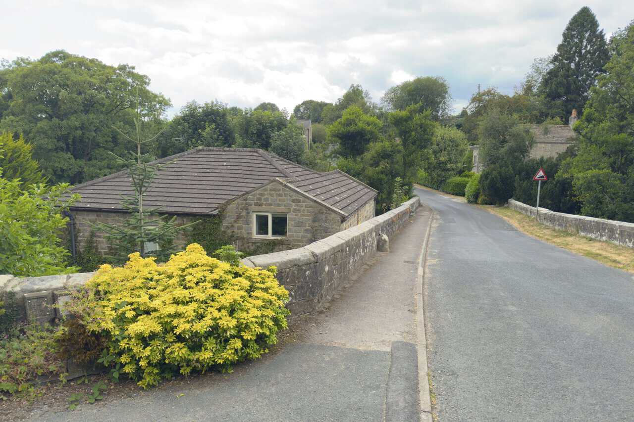
The bridleway leads me down past Little Mill and Knox Hall to the B6165 at Low Laithe, with some handsome old stone houses to pass along the way. Across the road a footpath strikes over a field, and I cross a footbridge over the beck before turning towards the River Nidd.
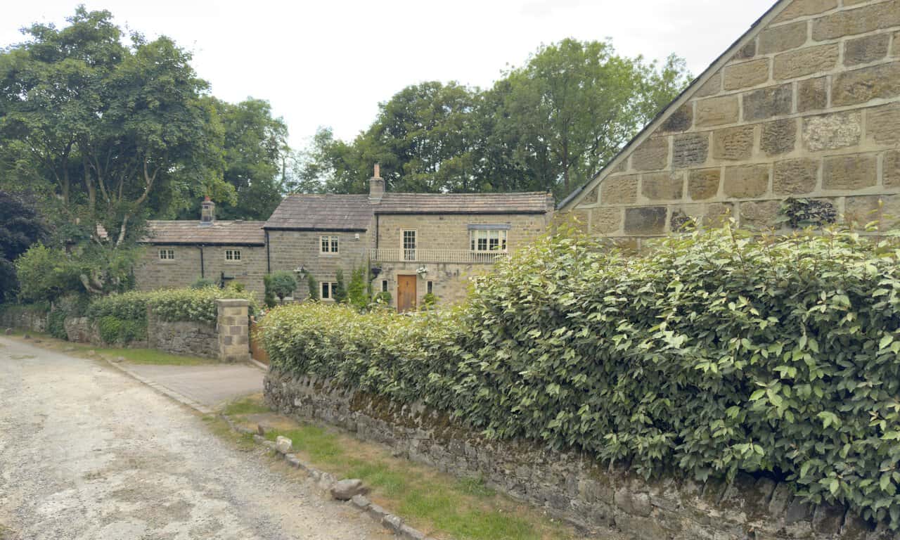
From the footbridge I get a wonderful view along the River Nidd. Its peaty, amber-brown water slides between thickly wooded banks, with a shingle bank on one side and the trees mirrored in the still surface.
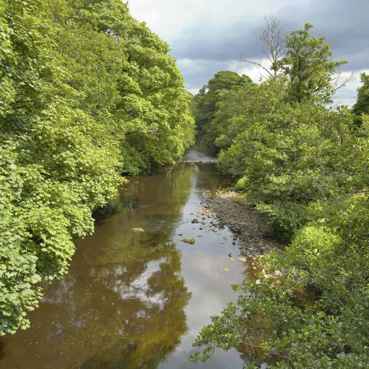
From Harewell Hall a concrete lane carries me west across the countryside for the best part of a mile. The views open out to the north here, right across the valley to the hills I’d walked earlier in my Brimham Rocks walk, their patchwork of fields and farmsteads rising to the moor.
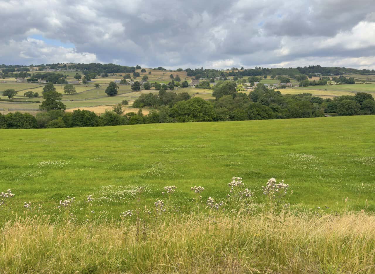
More fine views open up as I approach Glasshouses, with sheep grazing the field in front of me. Beyond a dry stone wall the village gathers below, its stone houses and a slender church spire tucked among the trees with the dale rising behind.
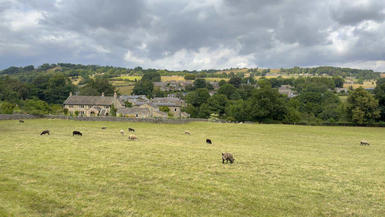
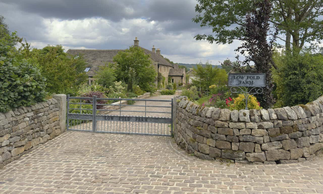
Just before I reach the River Nidd in Glasshouses I pass Low Fold Farm, and what a pretty, well-kept place it looks. A cobbled drive runs up between colourful borders to the old stone farmhouse, its name worked into the metal gate and set on a sign by the wall.
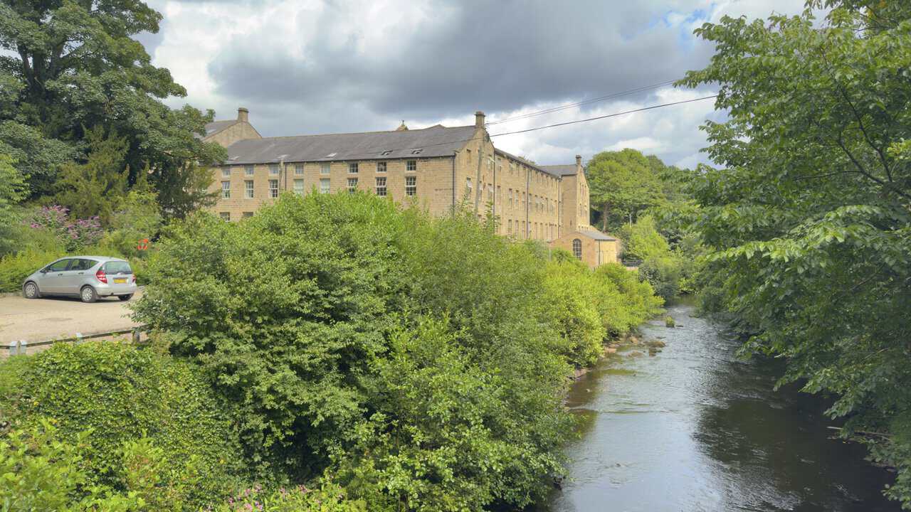
From Glasshouses Bridge I look downstream to the great stone bulk of Glasshouses Mill beside the river. Built in the early 1810s to spin flax on the site of an older corn mill, it later turned to hemp and rope before closing in 1972, and it’s now been converted into homes.
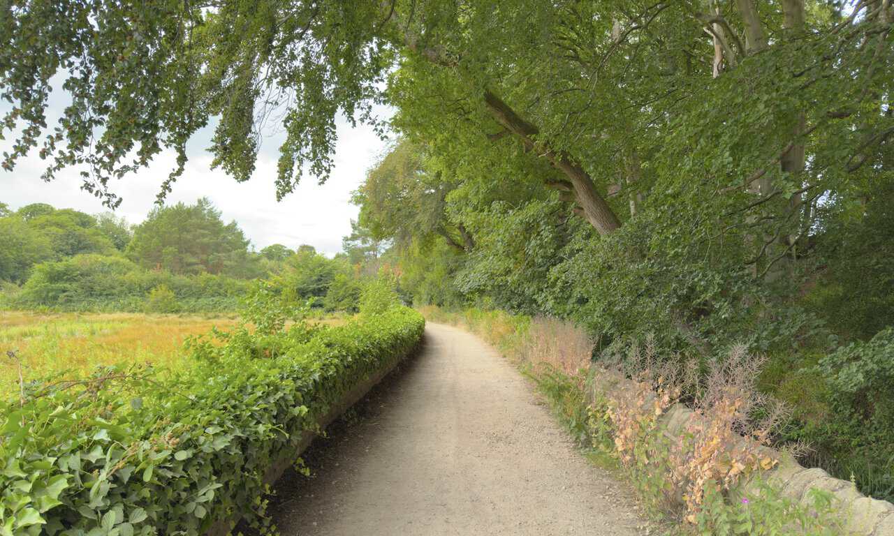
At Glasshouses I join a path alongside the River Nidd, here part of the Six Dales Trail. It’s flat, easy going for the rest of my Brimham Rocks walk, a gentle riverside finish along good level paths.
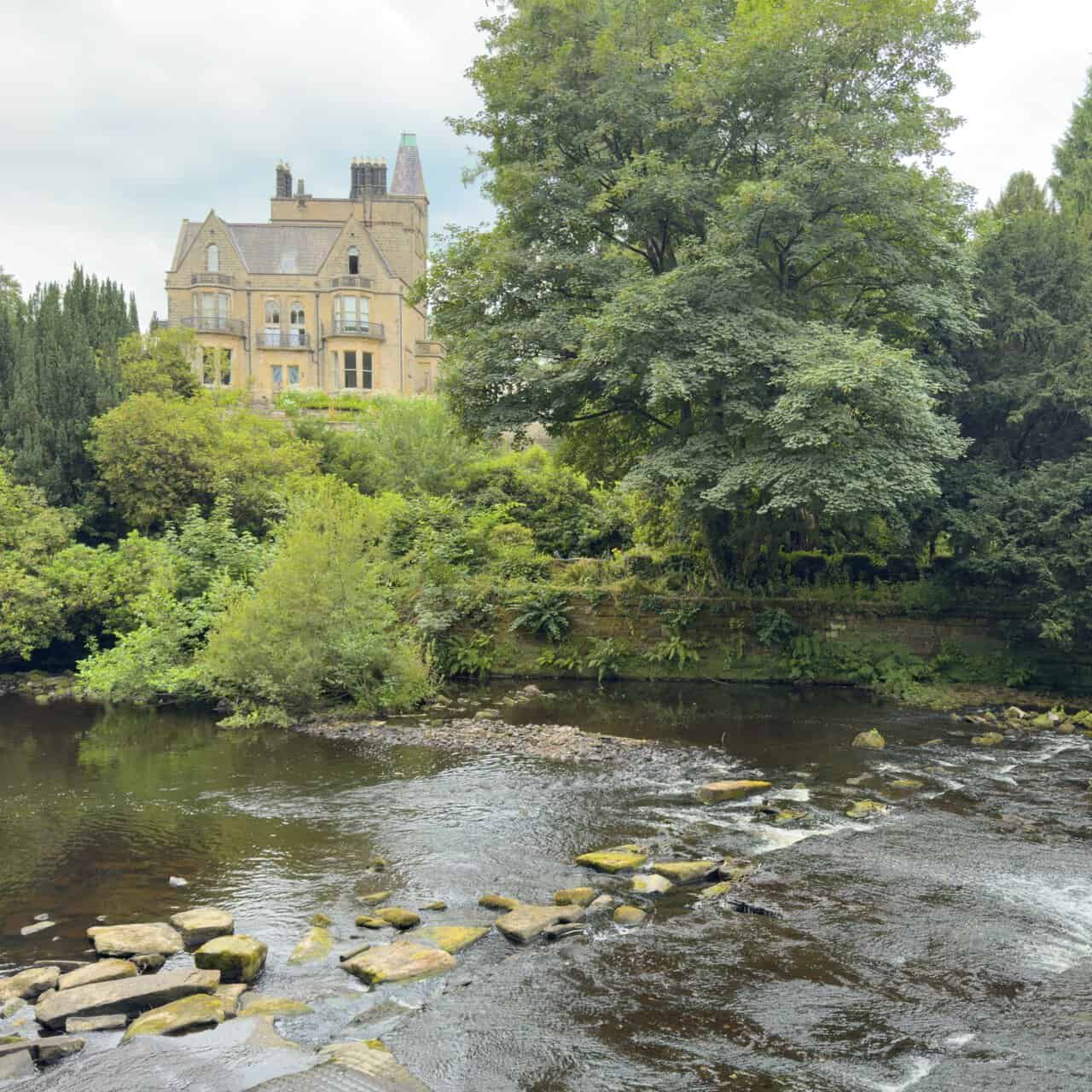
Following the Six Dales Trail I come to a weir on the River Nidd, its water sliding over the stone lip in a broad sheet. Above it stands a wonderful house, grand and turreted, which the map marks as Castlestead, looking out over the river from among the trees.
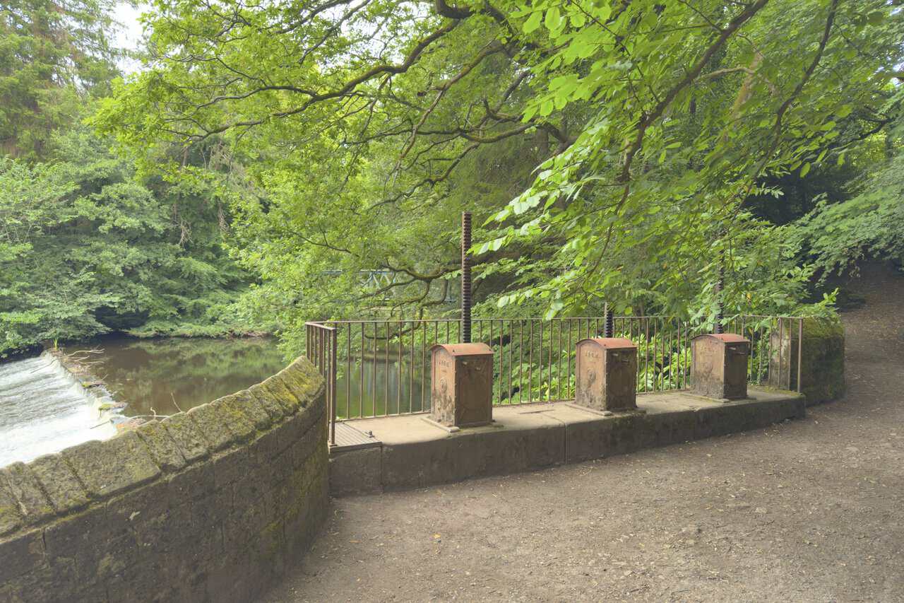
Beside the weir stand three old cast-iron mechanisms, each with an upright screw thread rising from a boxed casing. These are sluice gear, hand-wound to raise and lower gates that once controlled how much water was drawn from the river into a channel, the leat that carried water down to the mill dam at Glasshouses.
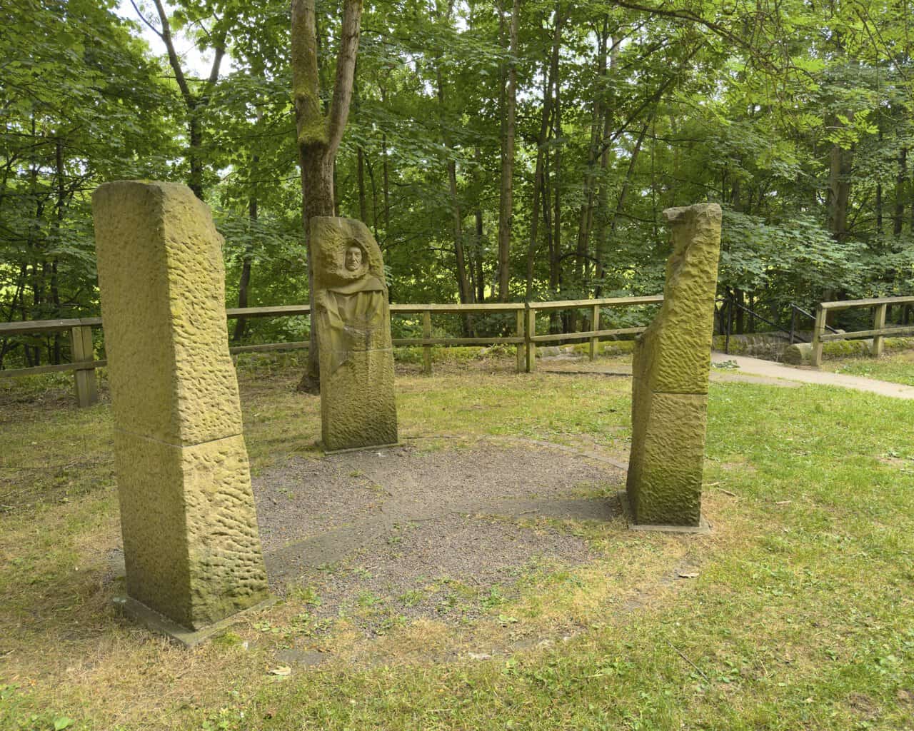
As I near the end of my Brimham Rocks walk I come upon Pillars Past, a striking piece of public art standing in a circle on the grass. It was designed and carved by local sculptor Joseph Hayton and commissioned by the cycling charity Sustrans as one of a series of artworks along the Way of the Roses, the coast-to-coast cycle route that runs 170 miles from Morecambe to Bridlington and passes right through Pateley Bridge. Three tall figures emerge from rough blocks of Yorkshire sandstone, and from a distance they could almost be ancient standing stones. They represent the lead mining, farming and monastic past that shaped this corner of Nidderdale, arranged so that you can stand in the middle of the circle and feel all three of them looking in at you.
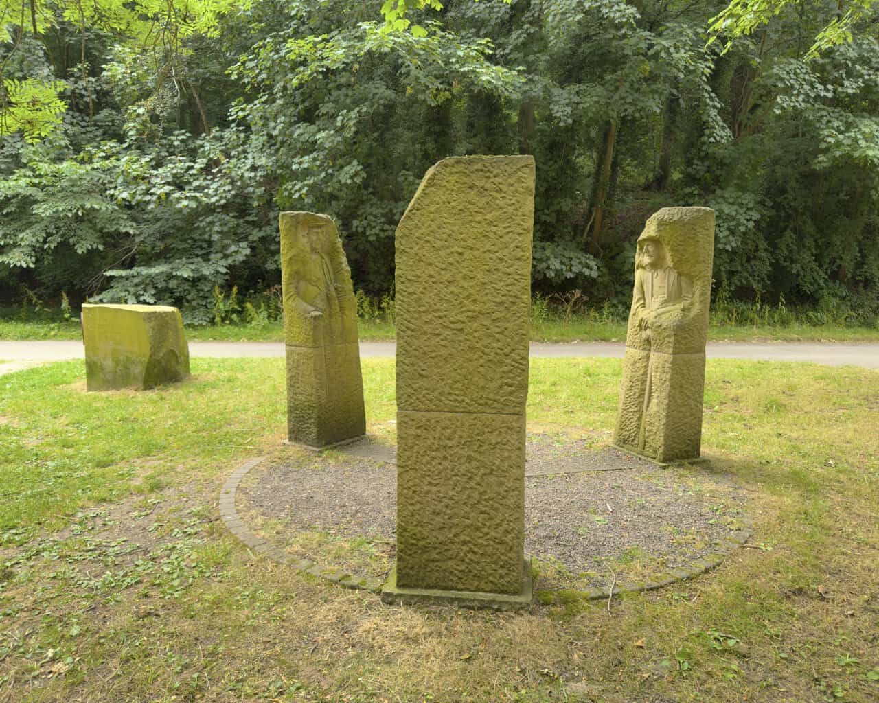
Each figure honours a different thread of local history, and each was modelled on a real person. The lead miner recalls an industry that reached back to Roman times and shaped the dale’s economy until cheap imports ended it around the 1890s, and he was based on Paul Reinsch, who has helped restore the old mines up at Greenhow. The monk stands for the great abbeys of Fountains and Byland, which held vast lands here from around 1200 until the Dissolution, in the days when the Archbishop of York owned the township of Pateley Bridge, and he was modelled on the sculptor’s own father, John Hayton. The shepherd speaks for the sheep farming that has run through Nidderdale since medieval times, when the abbeys kept great granges in the dale, and he was based on John Rayner, whose farm at Gouthwaite dates back to the thirteenth century and once supplied produce to Fountains Abbey.
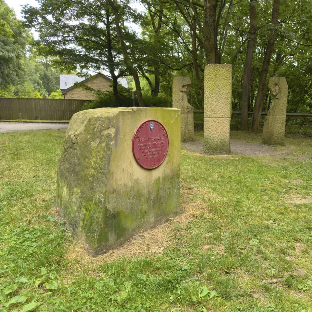
Next to the sculpture sits a large block of stone carrying a red plaque, part of the Pateley Bridge Heritage Trail. It marks the site of the old railway turntable, which worked from 1862 to 1964, where locomotives were turned around to pull their trains back along the single-track line to Harrogate. The Pillars Past figures stand on that very turntable site, so past and present sit neatly together here.
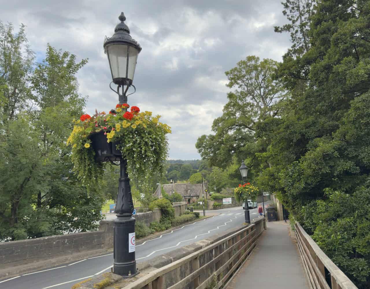
A last few steps bring me back into Pateley Bridge, where an ornate lamp post spills over with flowers on the bridge across the River Nidd. I cross the river and return to the car park where I set off, and that brings my Brimham Rocks walk to a close.