From the village of Litton, north-west through Littondale to Foxup, generally following the route of the River Skirfare. South-west then west along A Pennine Journey over Foxup Moor, then south via Plover Hill to Pen-y-ghent summit. After a climb down the other side to reach Dale Head, it’s north-east back to Litton on a track known as Dawson Close. A 14-mile walk in the Yorkshire Dales.

Recommended Ordnance Survey Map
The best map to use on this walk is the Ordnance Survey map of the Yorkshire Dales Southern & Western Area, reference OS Explorer OL2, scale 1:25,000. It clearly displays footpaths, rights of way, open access land and vegetation on the ground, making it ideal for walking, running and hiking. The map can be purchased from Amazon in either a standard, paper version or a weatherproof, laminated version, as shown below.
Standard Version
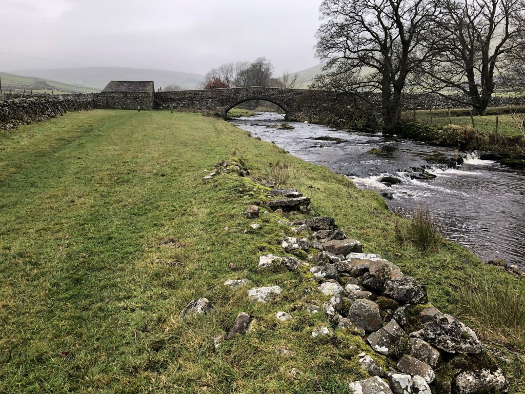
The River Skirfare in Littondale, flowing under Halton Gill Bridge.
The River Skirfare in Littondale.

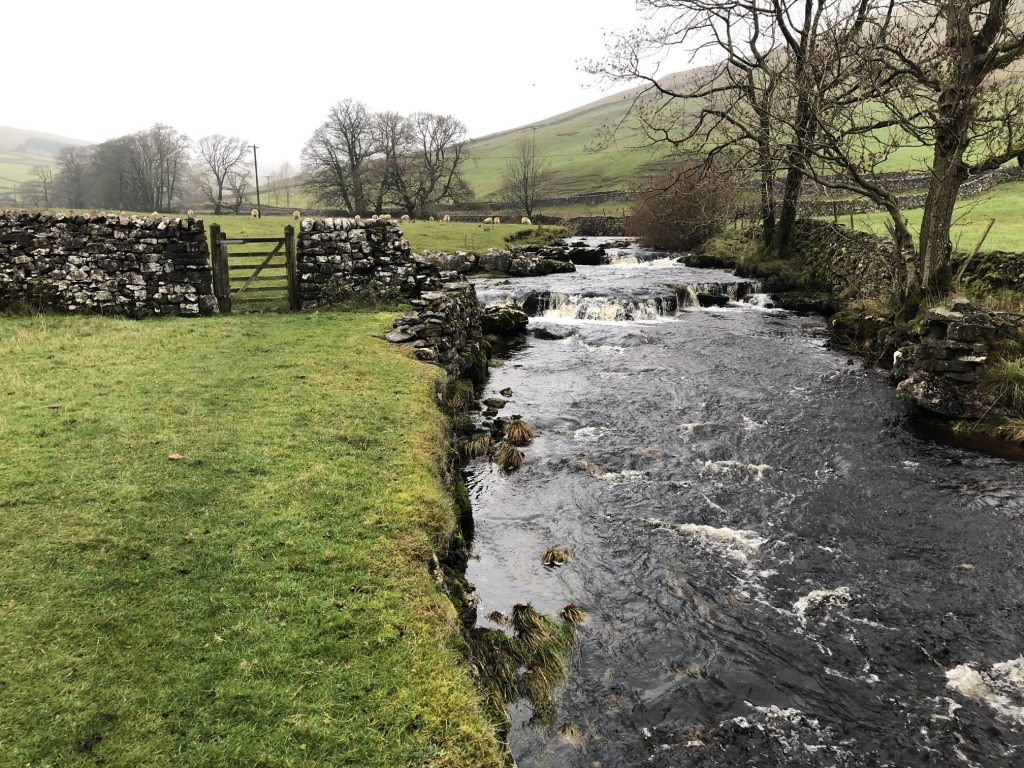
The River Skirfare in Littondale, between Halton Gill and Foxup.
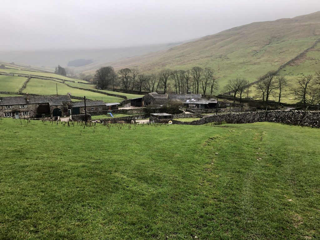
Looking down on Foxup.
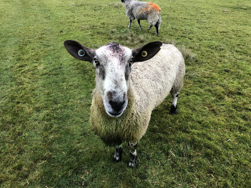
An unusually confident ram near Foxup.
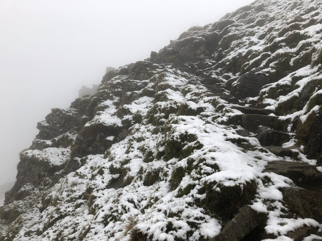
Climbing the steps to the top of Plover Hill.

Steps leading to the top of Plover Hill.
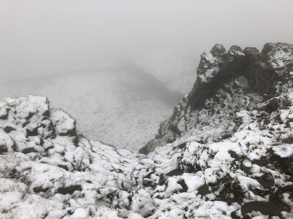
Snow-covered Plover Hill.
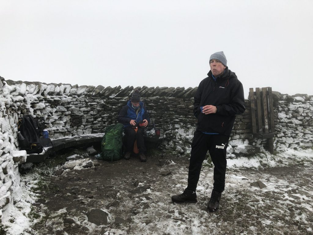
A bite to eat and a rest at the top of Pen-y-ghent.
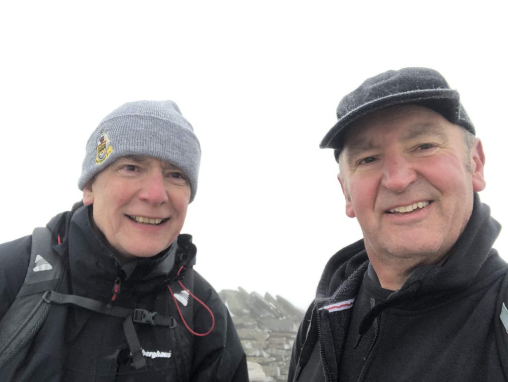
Selfie at the top of Pen-y-ghent.
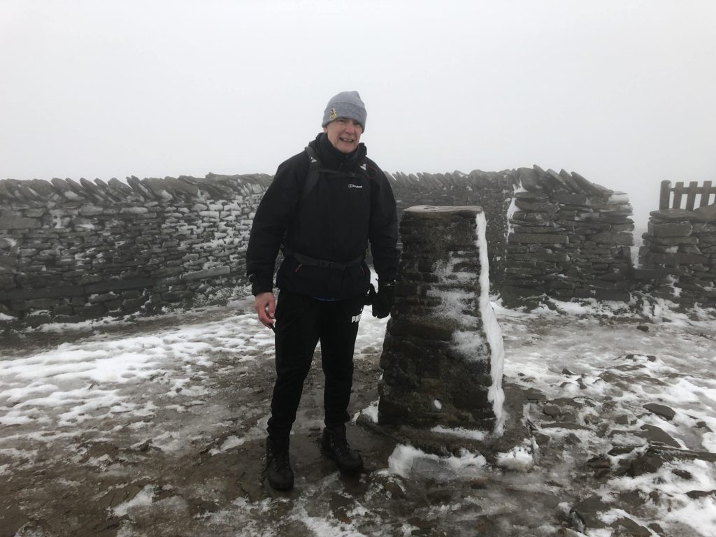
Triangulation pillar on Pen-y-ghent summit. Height 694 metres (2277 feet).
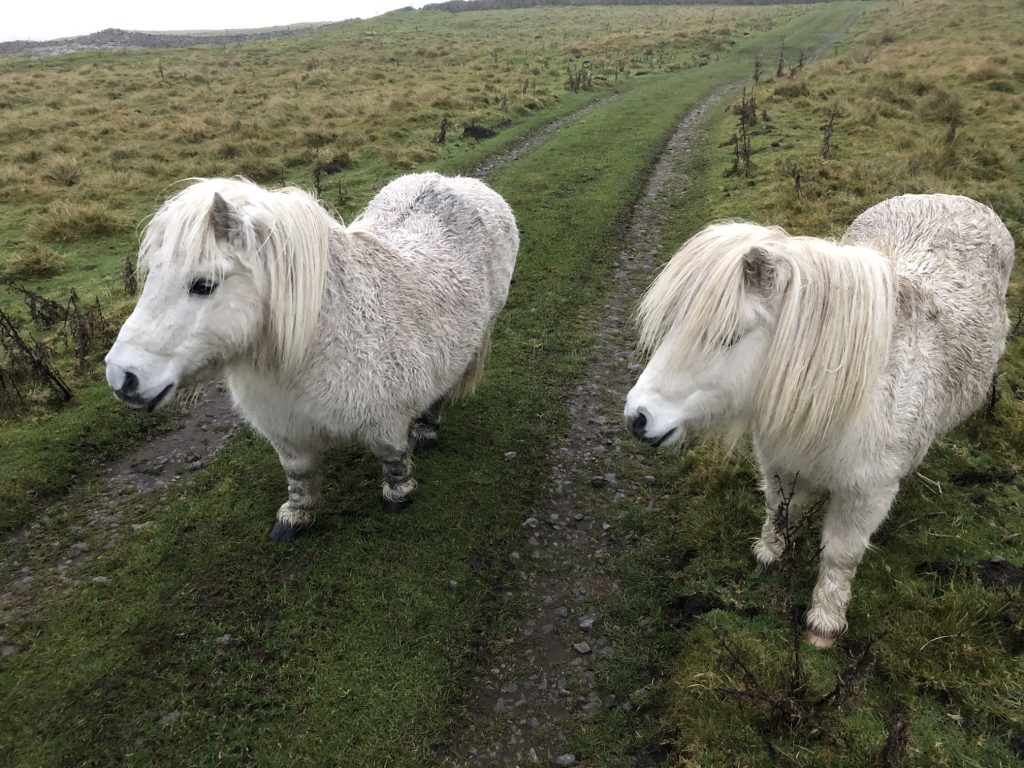
Ponies on Dawson Close west of Litton.