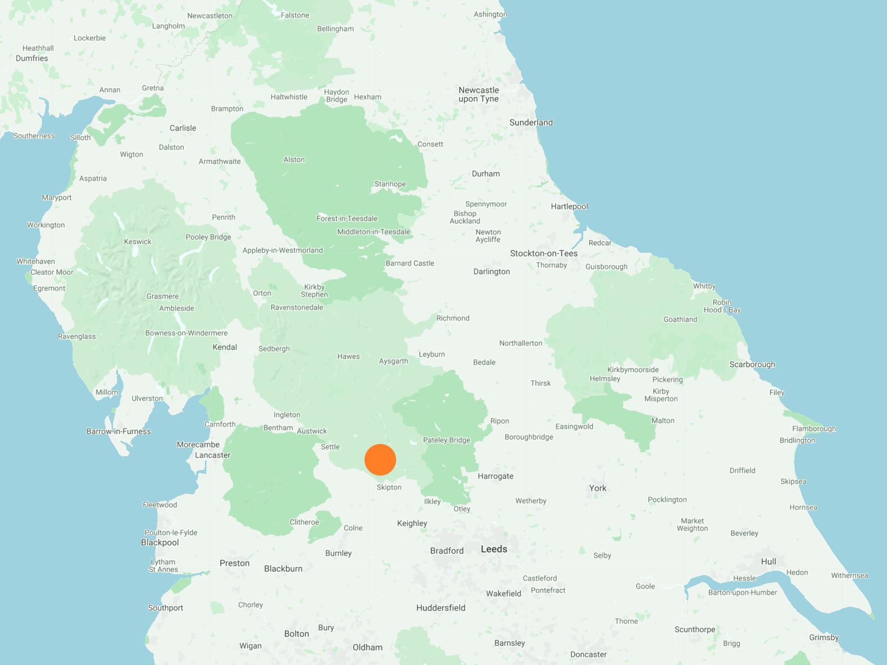
North-west from Skipton alongside the Leeds & Liverpool Canal to Gargrave, then north across farmland to Flasby. South-east via the Dales High Way over Flasby Fell and continuing back to Skipton, followed by a stroll along the banks of Eller Beck north of Skipton Castle. A 13-mile walk in Northern England.
Recommended Ordnance Survey Map
The best map to use on this walk is the Ordnance Survey map of the Yorkshire Dales Southern & Western Area, reference OS Explorer OL2, scale 1:25,000. It clearly displays footpaths, rights of way, open access land and vegetation on the ground, making it ideal for walking, running and hiking. The map can be purchased from Amazon in either a standard, paper version or a weatherproof, laminated version, as shown below.
Standard Version
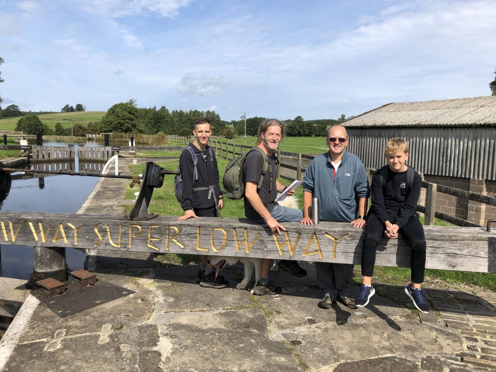
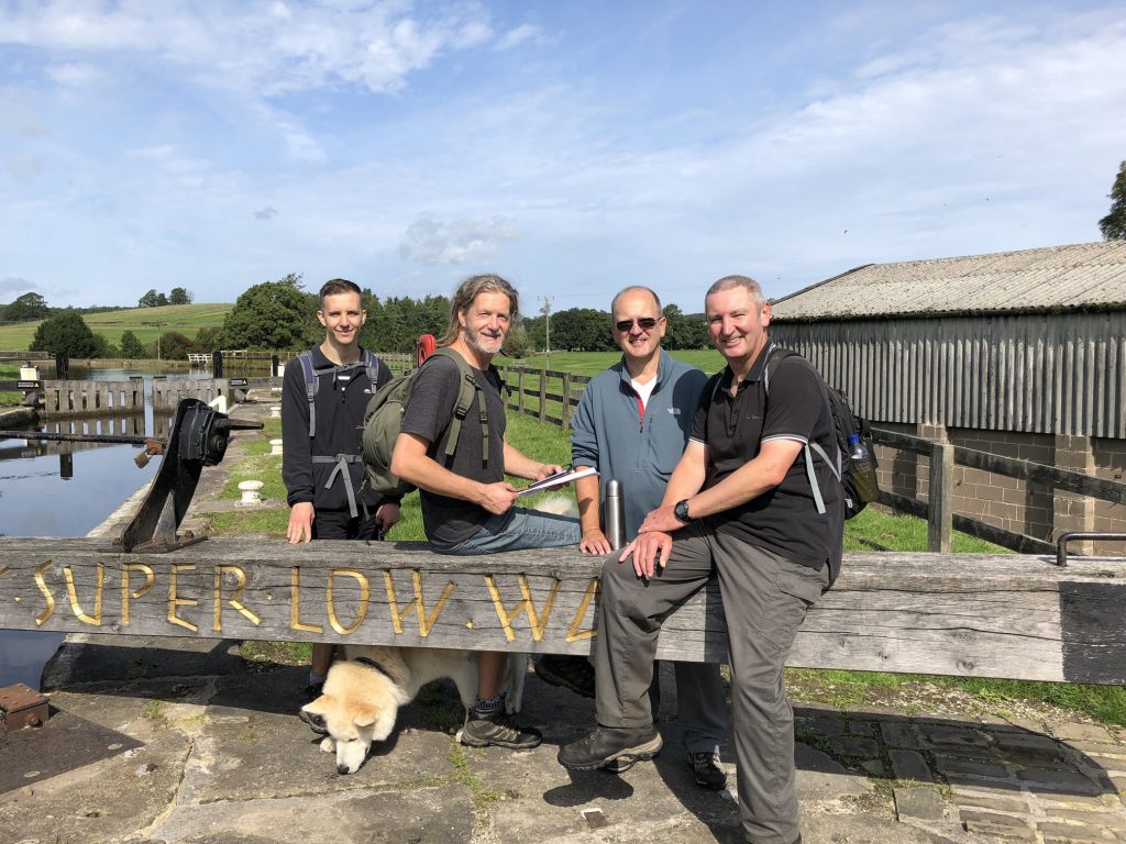
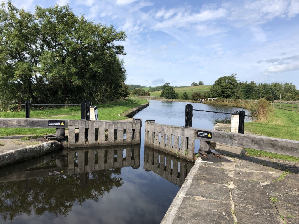
Lock on the Leeds & Liverpool Canal near Holme Bridge, about half a mile east of Gargrave.
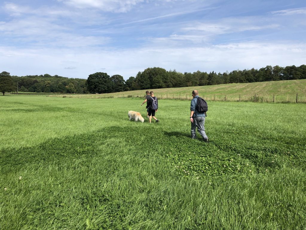
Heading north across farmland towards Eshton Hall.
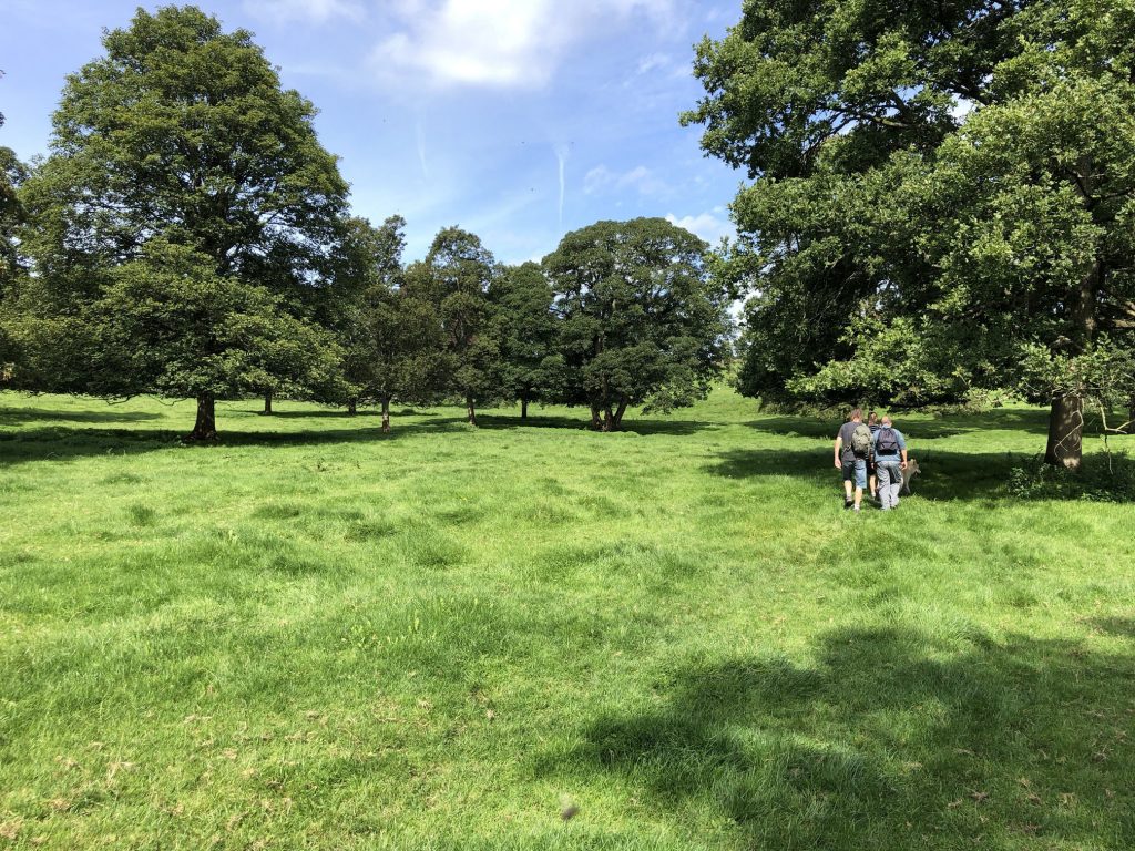
The countryside near Flasby.
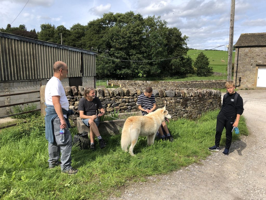
Time for a break in Flasby, just east of Flasby Beck.
Crossing Flasby Fell on the Dales High Way.
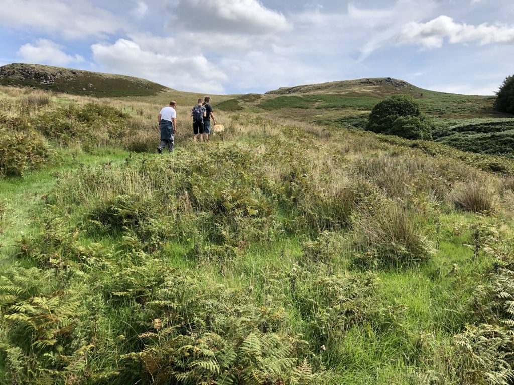
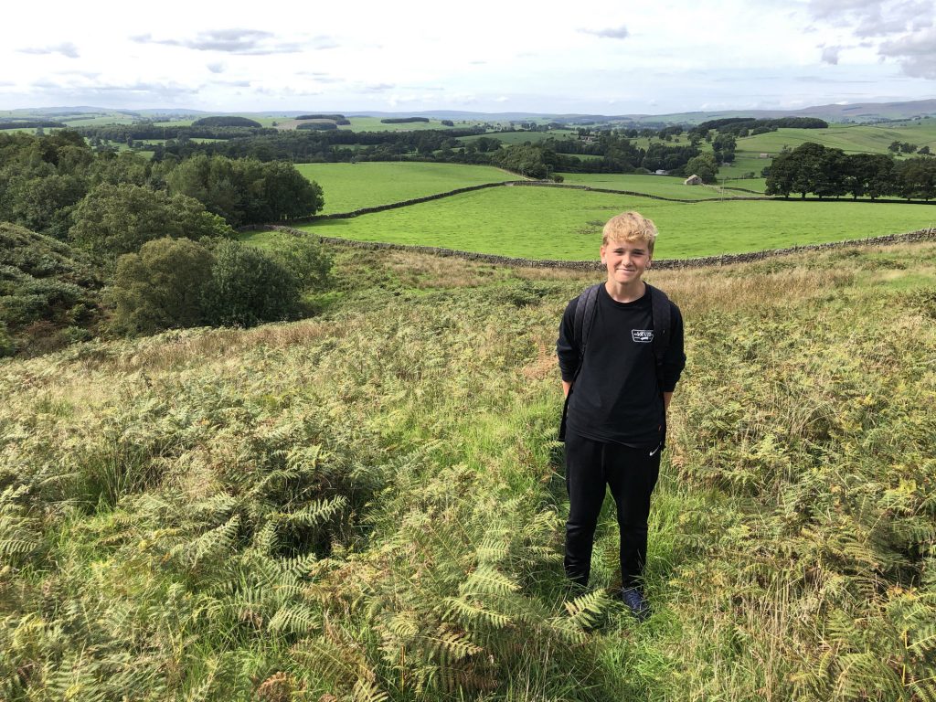
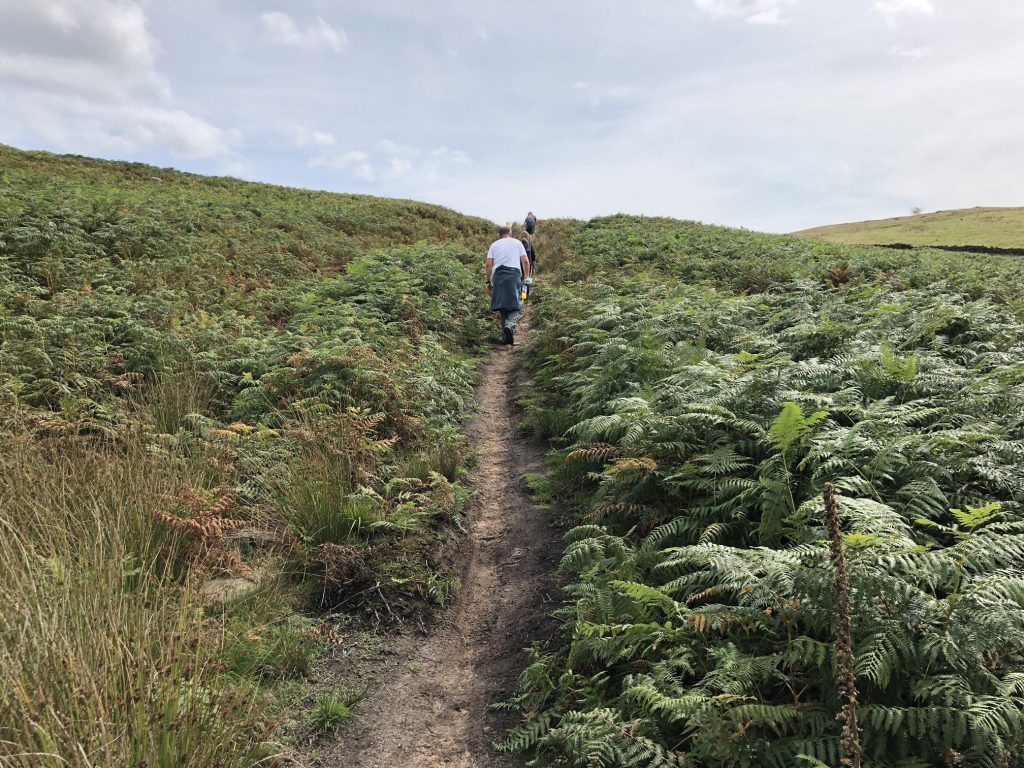
The view north from Flasby Fell.
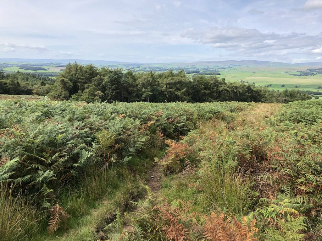
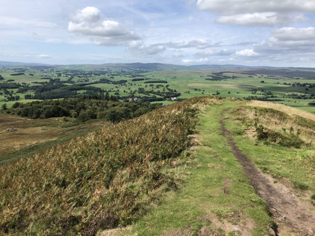
On the way up to Sharp Haw.
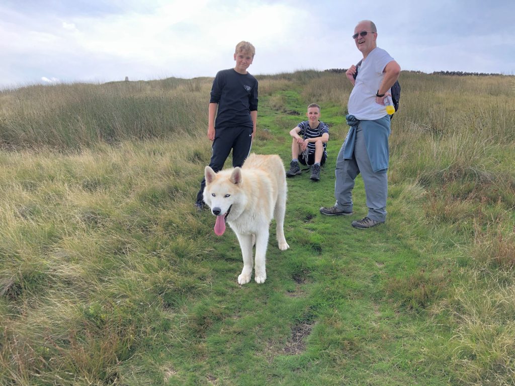
Beautiful views from Sharp Haw.
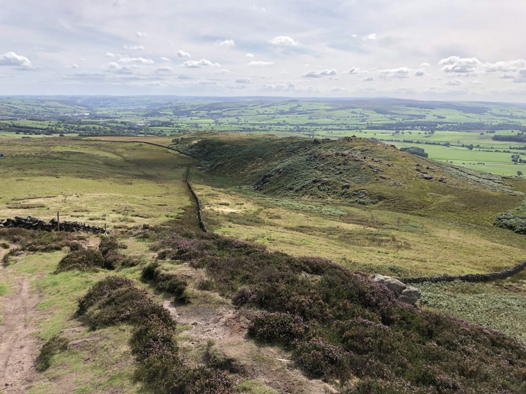
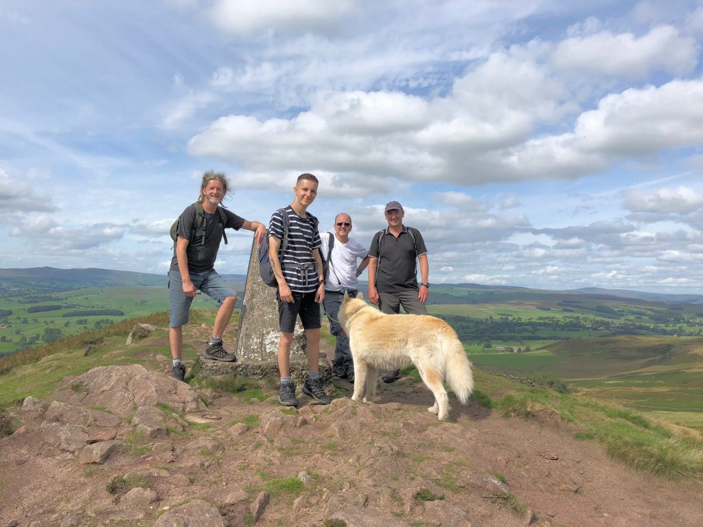
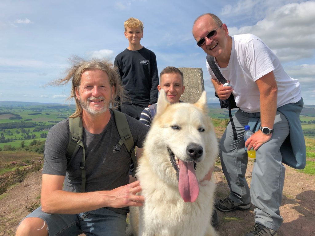
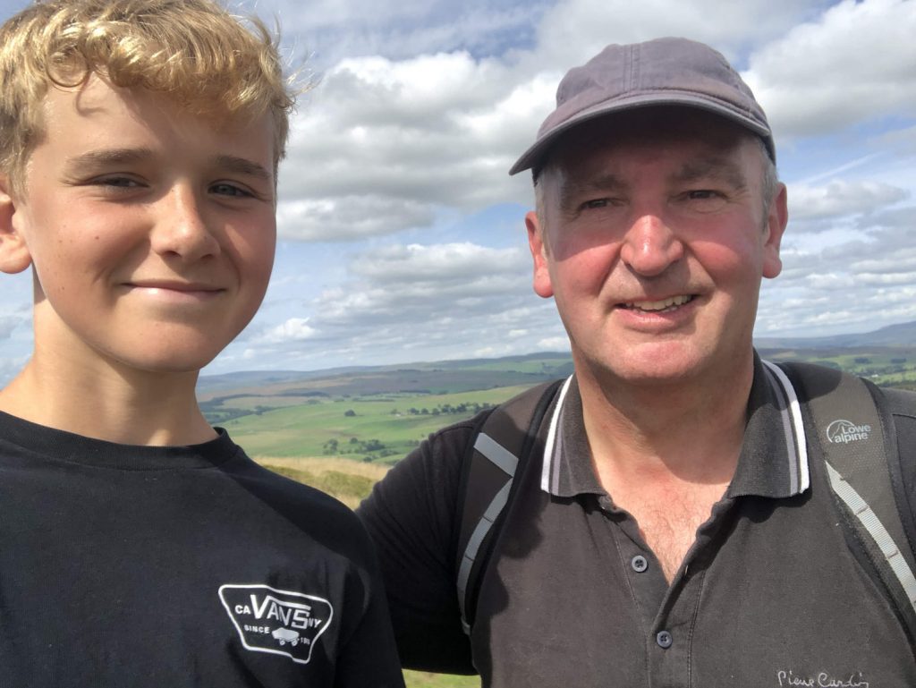
The summit of Sharp Haw, 357 metres (1171 feet).
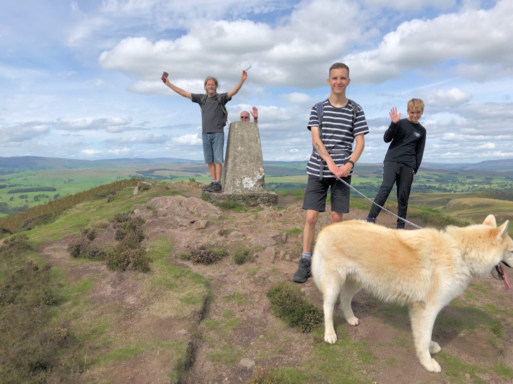
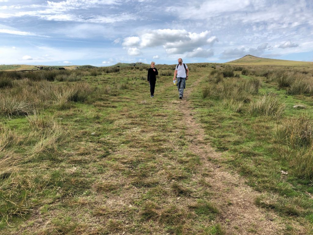
Heading downhill on the Dales High Way near Skyrakes.
Looking south over Skipton from Park Hill.
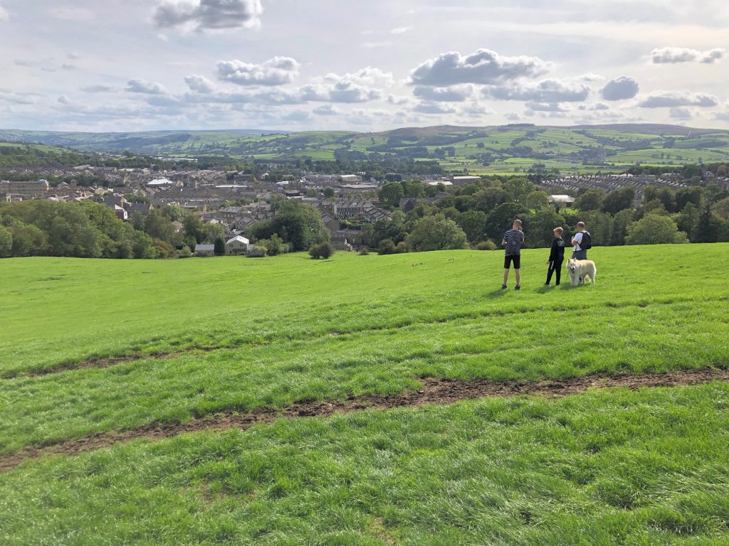
Heading towards Skipton from Park Hill.

Outside stores on Chapel Hill, Skipton town centre.
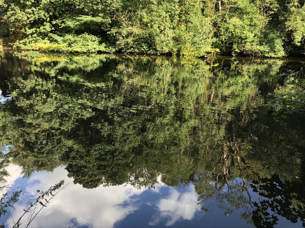
Pond by the side of Eller Beck, just north of Skipton Castle.
