East from the B6259 road at Aisgill Moor Cottages to Hell Gill Bridge, then north along A Pennine Journey to The Thrang. South to Hazelgill followed by a climb to High Dolphinsty via the Pennine Bridleway. Further south across Wild Boar Fell and Swarth Fell to Swarth Fell Pike, before descending east back to the road and cottages. An 11-mile walk in the Yorkshire Dales.
Recommended Ordnance Survey Map
The best map to use on this walk is the Ordnance Survey map of the Howgill Fells & Upper Eden Valley, reference OS Explorer OL19, scale 1:25,000. It clearly displays footpaths, rights of way, open access land and vegetation on the ground, making it ideal for walking, running and hiking. The map can be purchased from Amazon in either a standard, paper version or a weatherproof, laminated version, as shown below.
Standard Version
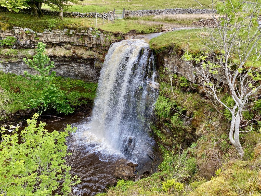
Hellgill Force just behind Aisgill Moor Cottages. The waterfall is created by Hell Gill Beck, which turns north, joins Ais Gill and becomes the River Eden.
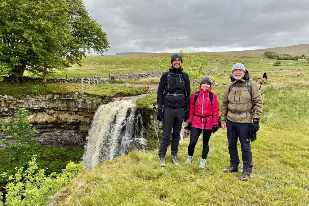
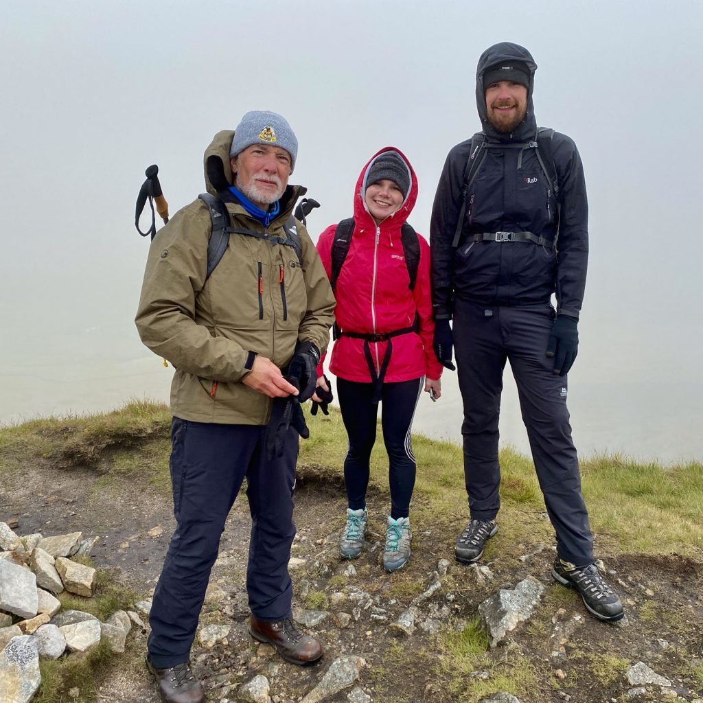
Michael, Leanne and Mike by the side of Hellgill Force.
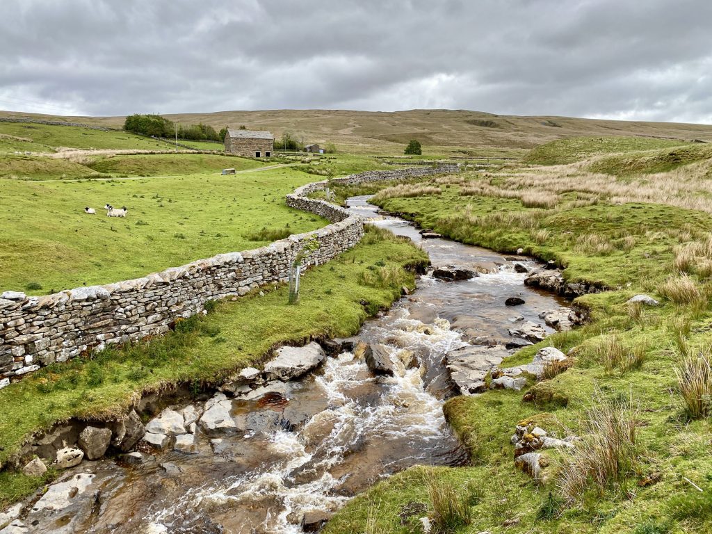
Hell Gill Beck in Mallerstang.
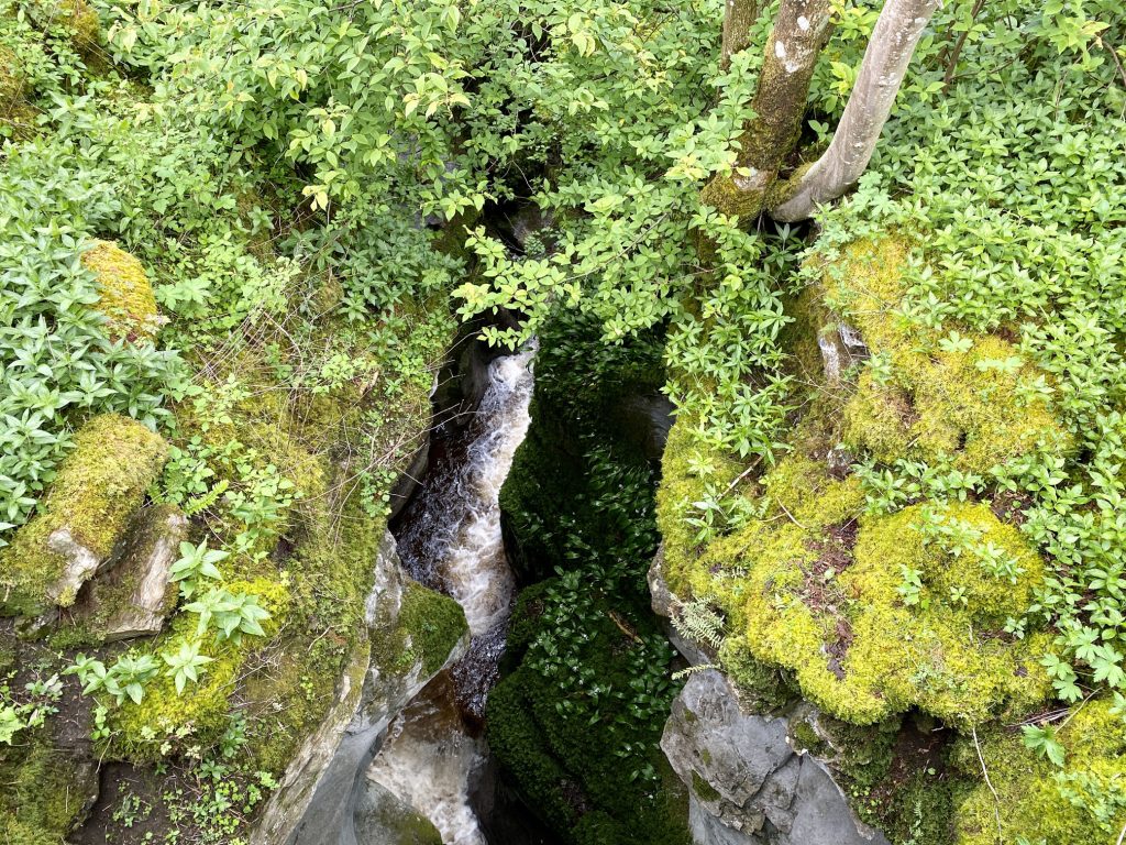
A deep narrow ravine cut out by Hell Gill Beck.
The ‘Water Cut’, one of ten stone sculptures located at intervals along the length of the River Eden between Mallerstang and the Solway Firth.
The space carved between the two vertical pillars creates the shape of a meandering river in the sky and provides a window onto the real river in the valley below. It also symbolises the power of the River Eden cutting through the rock on its journey through East Cumbria. Made from limestone from a quarry near Shap, its outer curve represents the viaduct arches which carry the nearby Settle to Carlisle railway line.

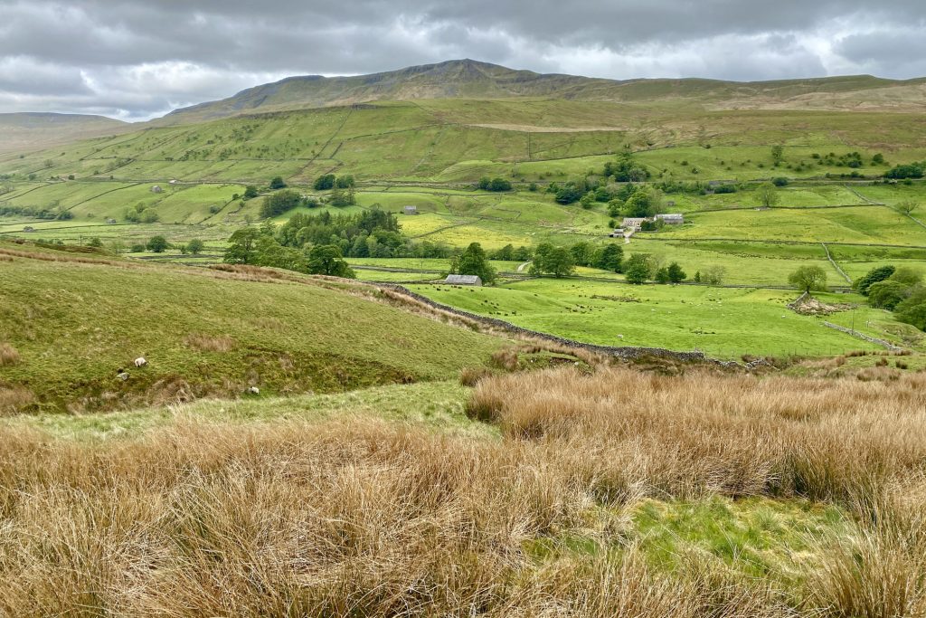
Mallerstang Common and Wild Boar Fell, as seen from A Pennine Journey on the eastern side of the Mallerstang valley.
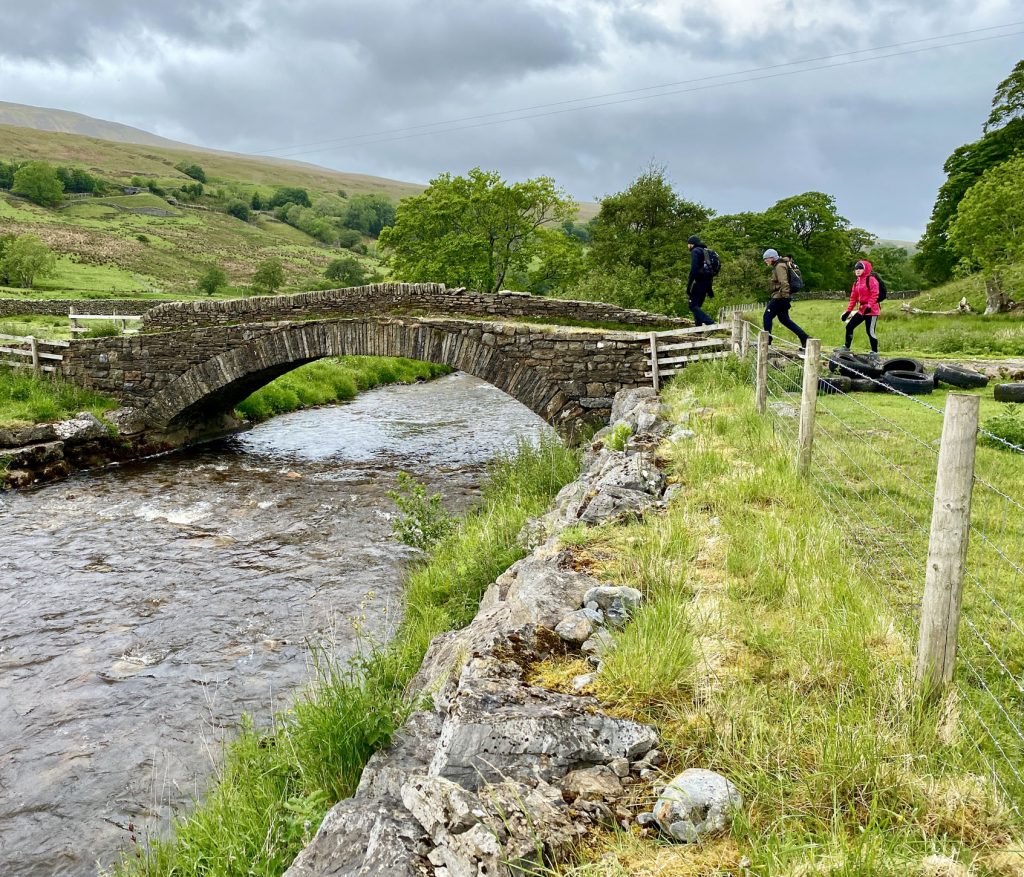
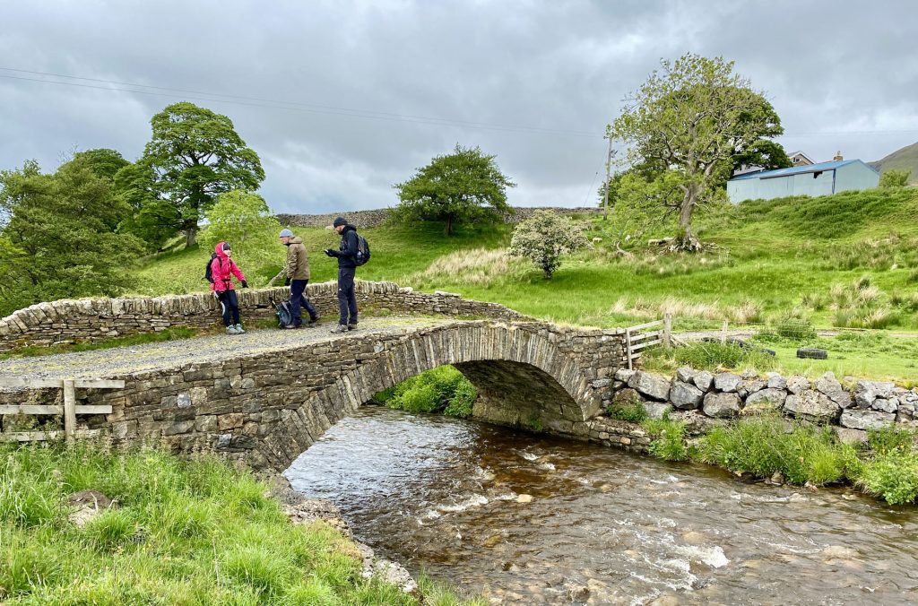
Thrang Bridge over the River Eden. I’m not sure why the bridge has only one parapet.
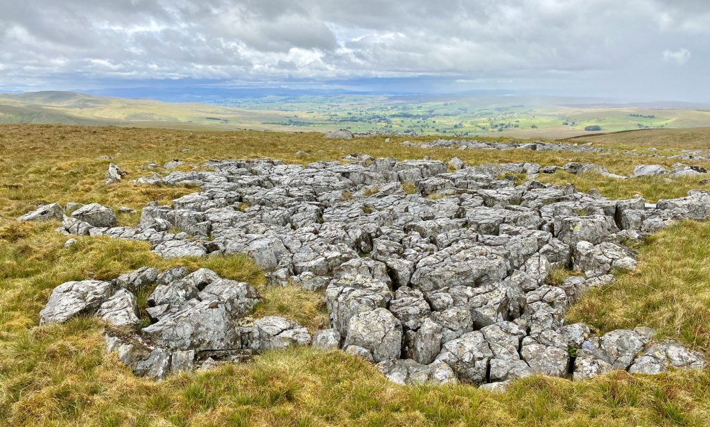
Limestone pavement on Mallerstang Common. During glaciation, ice scraped away the topsoil to reveal the bare rock underneath. Rainwater, which is a weak carbonic acid, then started to disolve the limestone. This process of chemical weathering widened and deepened the cracks to form grykes and left exposed blocks called clints. Limestone pavement is common in the Yorkshire Dales.
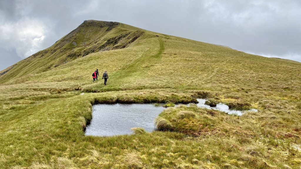
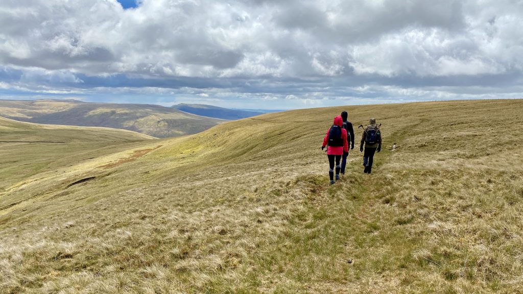
The path from High Dolphinsty to the top of Wild Boar Fell.
The view of the Mallerstang valley from The Nab on Wild Boar Fell.
Mike, Leanne and Michael at The Nab on Wild Boar Fell.
Shelter and triangulation pillar on the Wild Boar Fell summit, height 708 metres (2323 feet). In the Yorkshire Dales, there are just seven mountains which are higher than 700 metres:
- Whernside, 736 metres (2415 feet).
- Ingleborough, 724 metres (2375 feet).
- Great Shunner Fell, 716 metres (2349 feet).
- High Seat, 709 metres (2326 feet).
- Wild Boar Fell, 708 metres (2323 feet).
- Great Whernside, 704 metres (2310 feet).
- Buckden Pike, 702 metres (2303 feet).

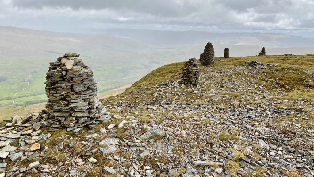
A series of tall cairns perched on the eastern edge of the Wild Boar Fell plateau overlooking the Mallerstang valley. I haven’t been able to find out for definite why these cairns were built and if anybody has any information please let me know.
Two additional statues appear on the mountain top!
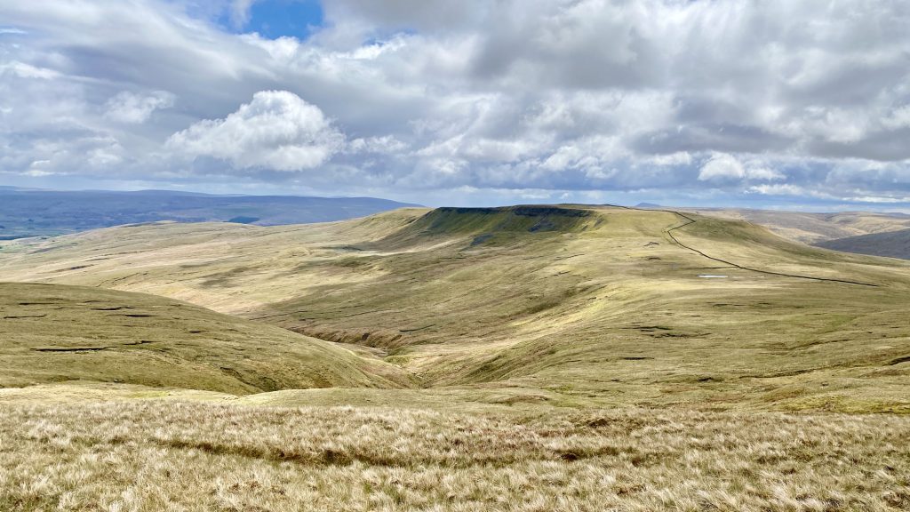
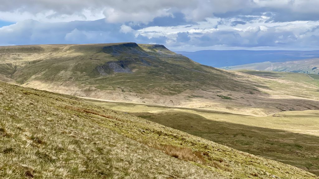
The view of Swarth Fell from Wild Boar Fell. There are no paths marked on the maps but the route between the two mountains generally follows the course of the dry stone wall visible on the right-hand side of the photo.
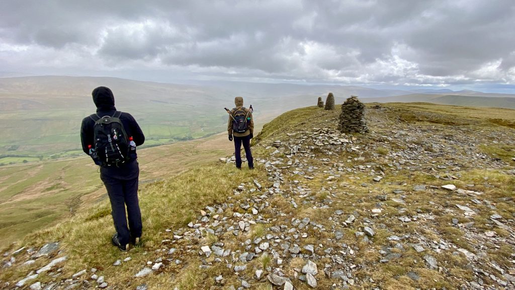
Crossing the plateau of Wild Boar Fell.
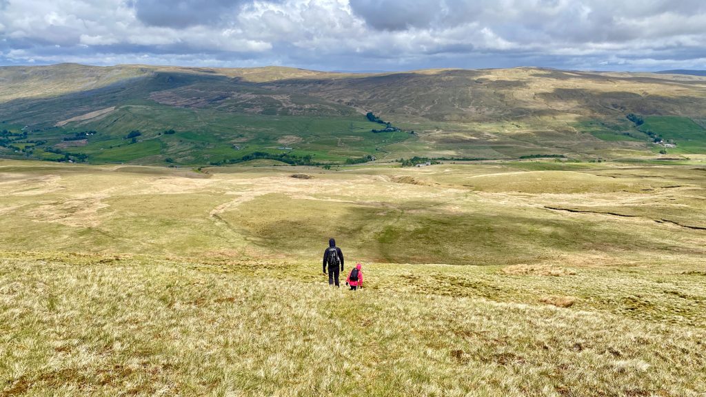
Following the path down from Swarth Fell Pike to Aisgill Moor Cottages.
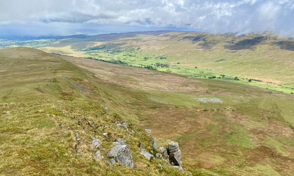
Fantastic views of Wensleydale from Swarth Fell Pike.

Wild Boar Fell as seen from Swarth Fell Pike.
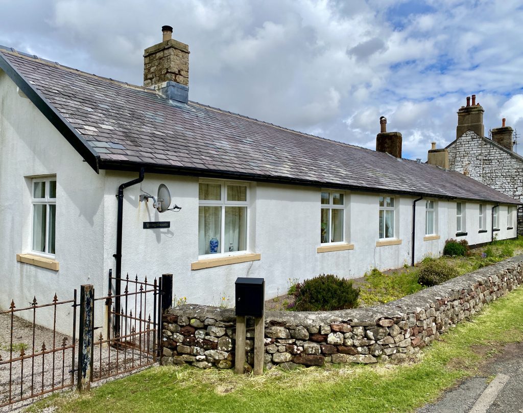
Aisgill Moor Cottages.