East from West Witton to meet Bay Bolton Avenue, then south via Middleham High Moor to Melmerby. Along the minor road to the village of Carlton, then west on a bridleway across moorland to Cote, via Howden Lodge and Burton Moor. North to West Burton, over Burton Bridge, and returning east along tracks by way of Morpeth Gate and Green Gate. A 12-mile walk in the Yorkshire Dales.
Recommended Ordnance Survey Map
The best map to use on this walk is the Ordnance Survey map of the Yorkshire Dales Northern & Central Area, reference OS Explorer OL30, scale 1:25,000. It clearly displays footpaths, rights of way, open access land and vegetation on the ground, making it ideal for walking, running and hiking. The map can be purchased from Amazon in either a standard, paper version or a weatherproof, laminated version, as shown below.
Standard Version
The view north from Capple Bank across Wensleydale. Bolton Hall is visible left of centre and Preston-under-Scar is on the far left.
The view across Melmerby Moor towards Penhill.
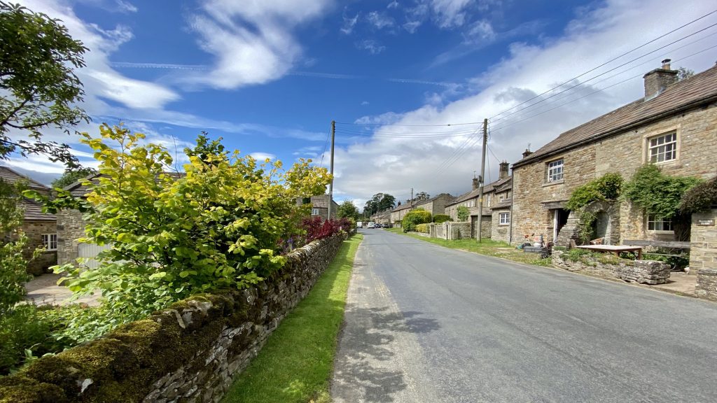
Carlton, the largest village in Coverdale, which lies along an important old route from Wharfedale to Wensleydale and the north. It was certainly recorded at the time of the Domesday Book in 1086 but its name has both Anglo-Saxon and Viking origins so it may be much older. ‘Carl’ means free peasant and ‘ton’ means farm or settlement so Carlton was the ‘village of the free peasants’.
The population of the village over the centuries has averaged at 200, rising to 300 in 1841. Today, there are just over 100 residents and 35 of the 90 houses are holiday cottages, reflecting the importance of tourism to the mainly agricultural economy. Carlton remains a lively community despite the closure of its school and post office.
Howden Lodge on Carlton Moor.
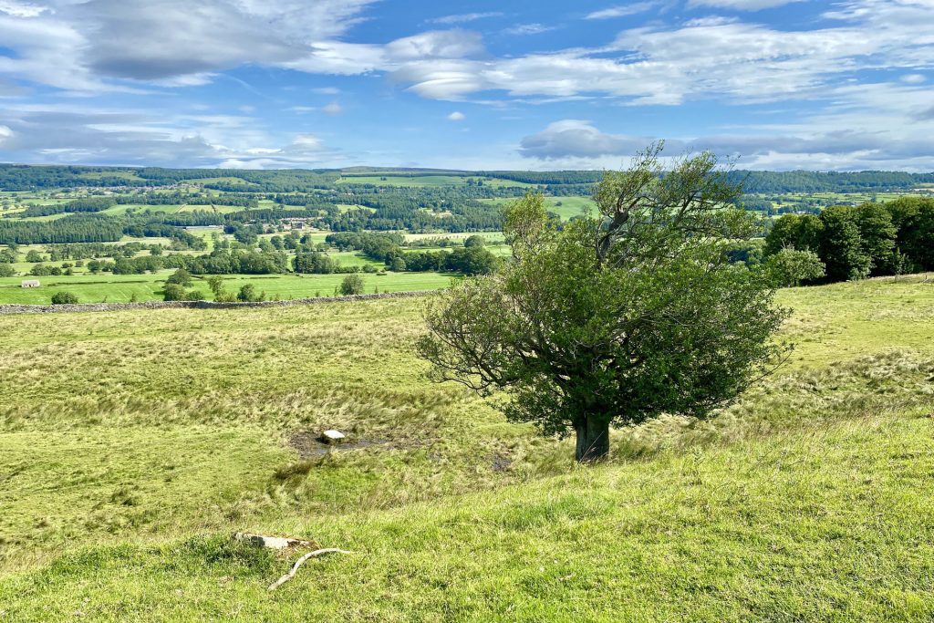
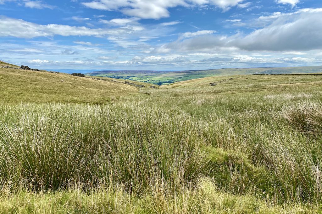
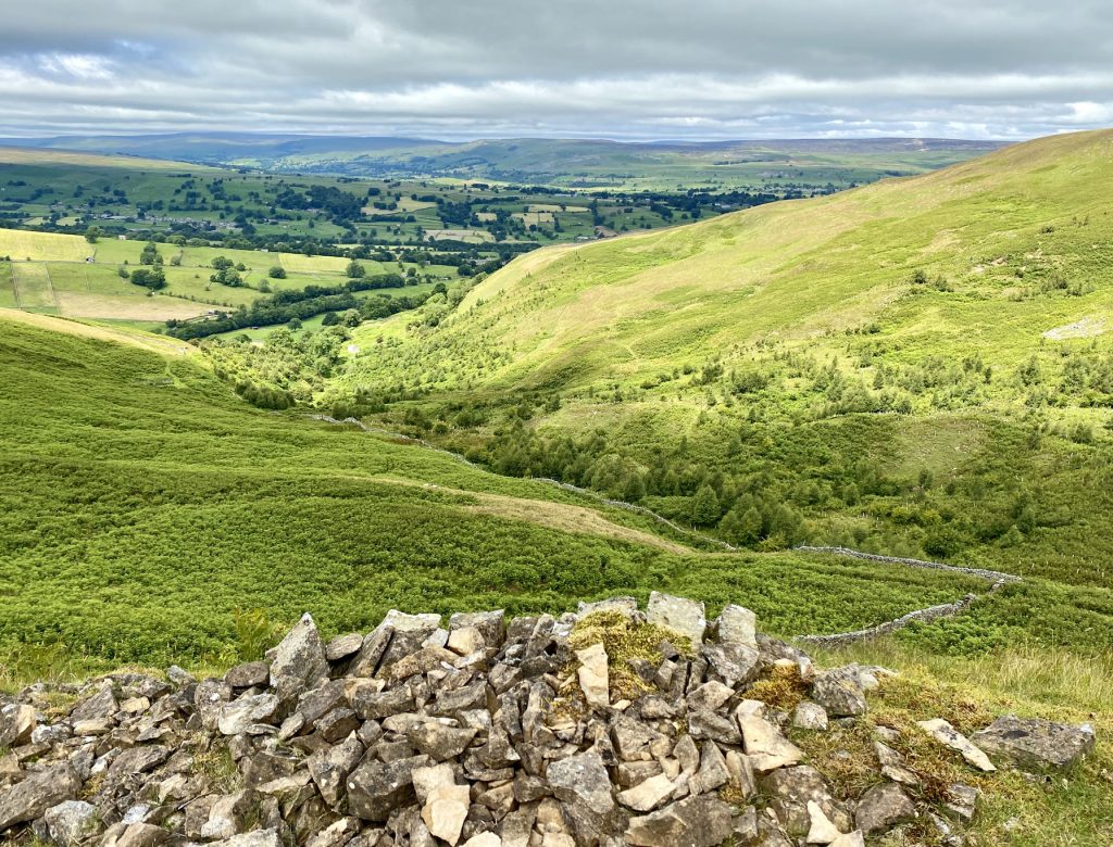
The view south-east towards Coverdale from the bridleway between Harland Hill and the Height of Hazely.
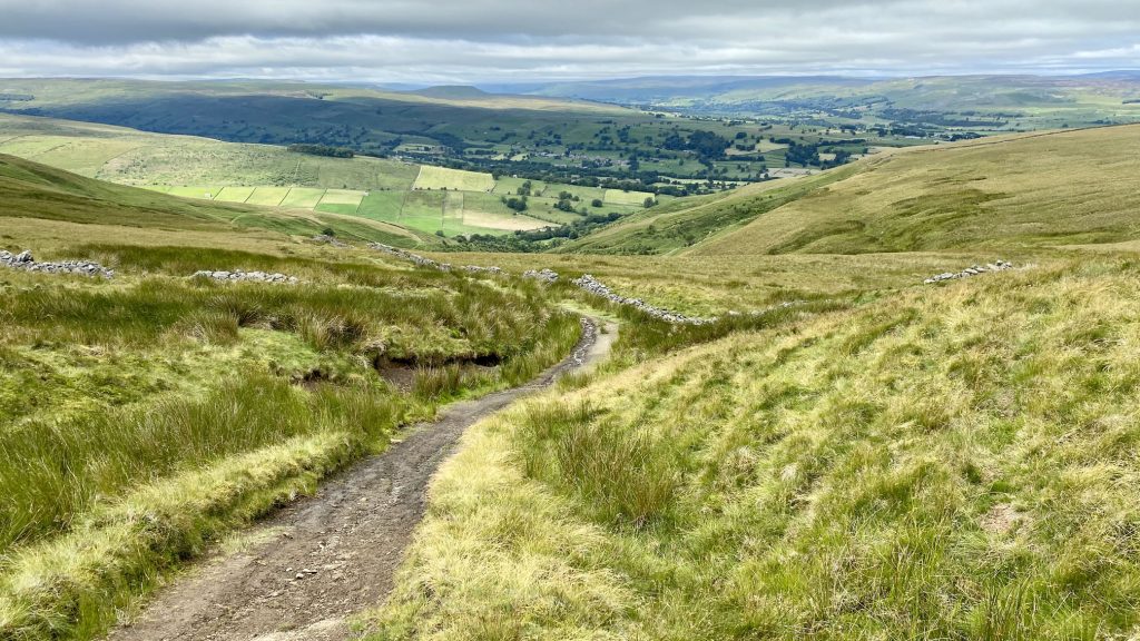
Looking over to Thoralby in the Bishopdale valley as I drop down from Harland Hill on the way to West Burton.
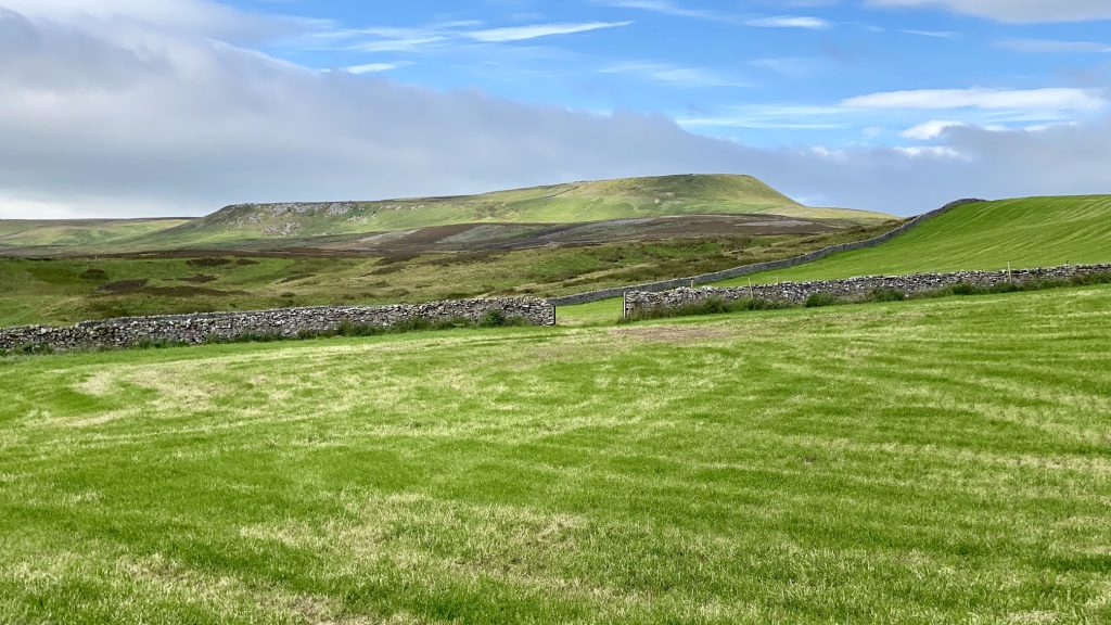
A small valley below Harland Hill, cut out by Thupton Gill.
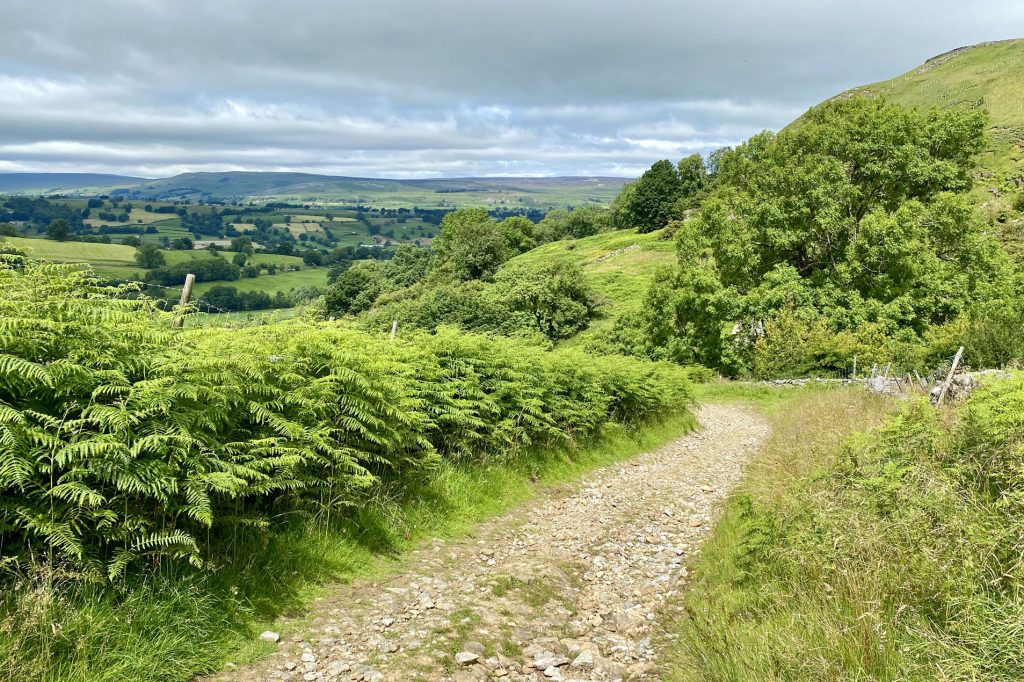
Lovely countryside near Cote, about ¾ mile south of West Burton.
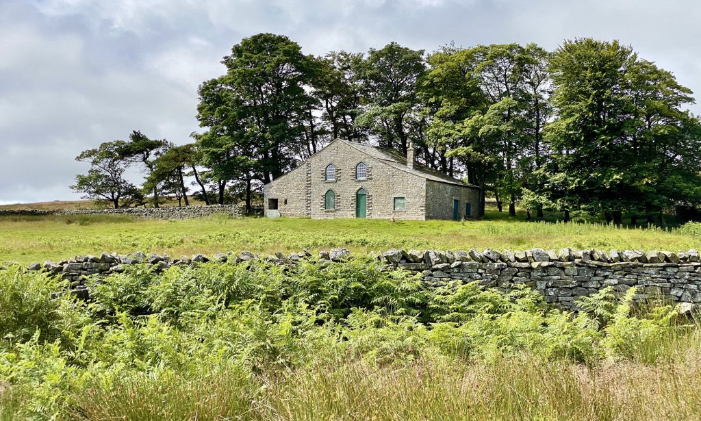
Braithwaite Lead Smelt Mill
This chimney, the short length of horizontal flue and some foundations, are all that remain of a small lead smelt mill near Cote Bridge, West Burton.
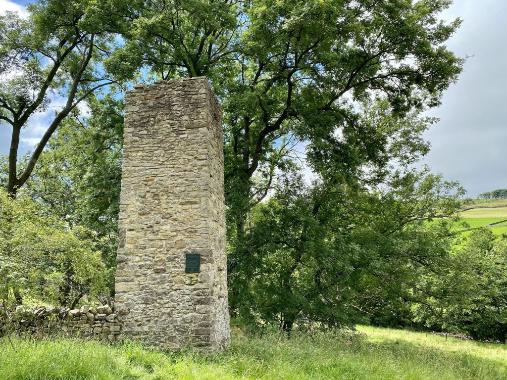
Locally mined lead ore was converted into metallic lead in a furnace called an ore hearth. Peat, dried wood and coal were the fuel for this smelting process. An air blast, to raise the temperature of the furnace, came from bellows powered by a large waterwheel. Poisonous fumes were taken away by the flue and chimney.

A working shift of between 12 and 15 hours produced about one ton of lead. The mill was last used in the 1870s.
Cote Farm Walden, West Burton, backed by Harland Hill.

This popular waterfall at West Burton, known as Cauldron Falls because of its beautiful plunge pool, was one of the spots painted by Turner on his travels in the Dales.
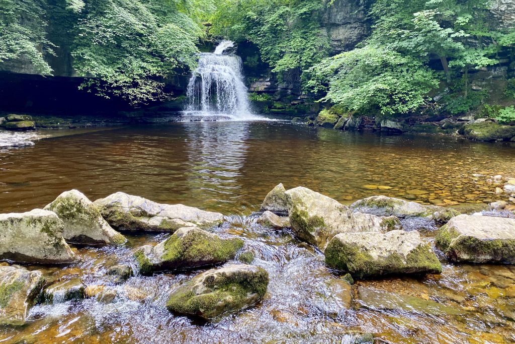
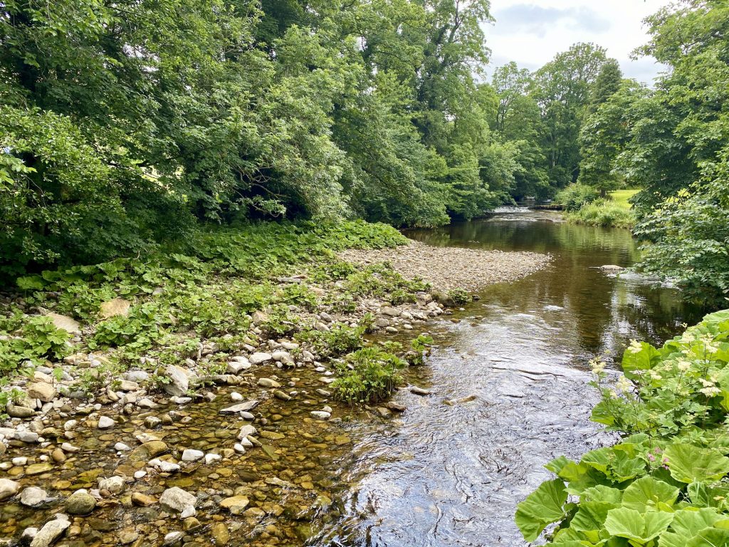
Walden Beck at West Burton. The source of the beck is on Walden Moor high up on the north-eastern slopes of Buckden Pike about seven miles to the south-west. After West Burton it meets Bishopdale Beck which flows into the River Ure a couple of miles north of the village.
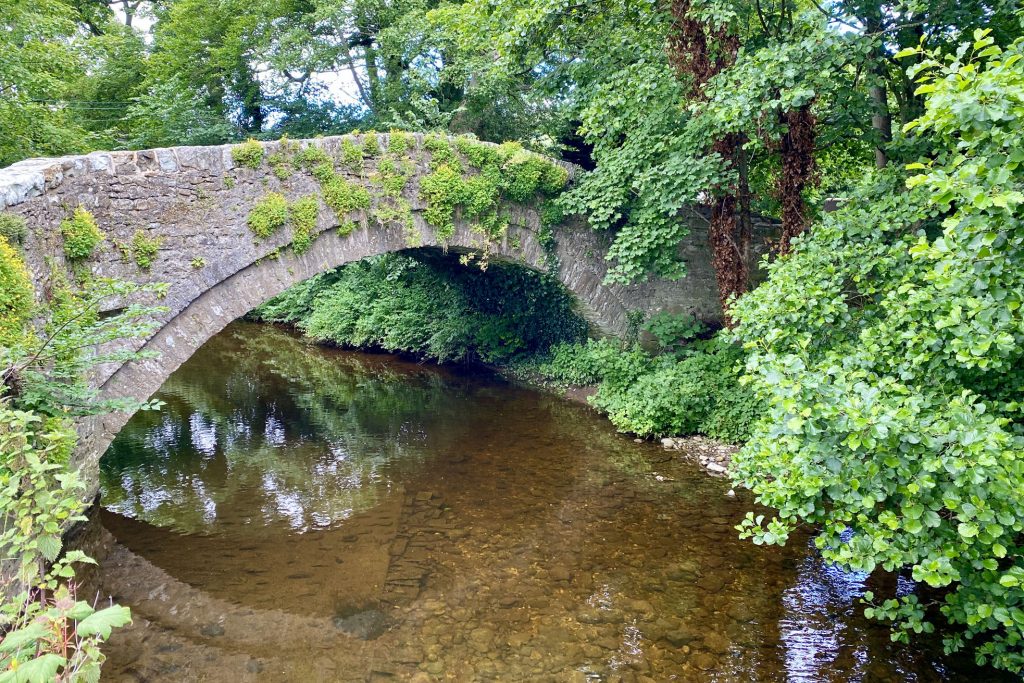
Burton Bridge, West Burton.
The view north-west from Morpeth Gate towards Aysgarth and, in the distance, Whitfield Fell.