South-west out of Arncliffe all the way to Malham Tarn by way of the four-mile-long Monk’s Road (Path). South-east beneath Great Close Hill to Great Close Plantation and south to Street Gate. North-east for approximately 4½ miles to Arncliffe Cote following the bridleway which runs parallel to but south of Monk’s Road (Path). Along Out Gang Lane and across the River Skirfare using the footbridge near Hazel Head Farm, then north-west on the minor road back to Arncliffe. A 12-mile walk in the Yorkshire Dales.
Recommended Ordnance Survey Map
The best map to use on this walk is the Ordnance Survey map of the Yorkshire Dales Southern & Western Area, reference OS Explorer OL2, scale 1:25,000. It clearly displays footpaths, rights of way, open access land and vegetation on the ground, making it ideal for walking, running and hiking. The map can be purchased from Amazon in either a standard, paper version or a weatherproof, laminated version, as shown below.
Standard Version
Cowside Beck on its way down to join the River Skirfare which flows through Littondale.
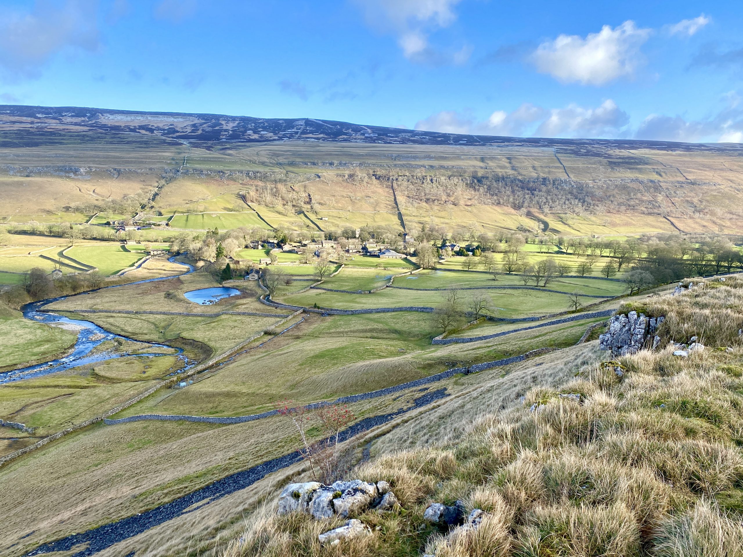
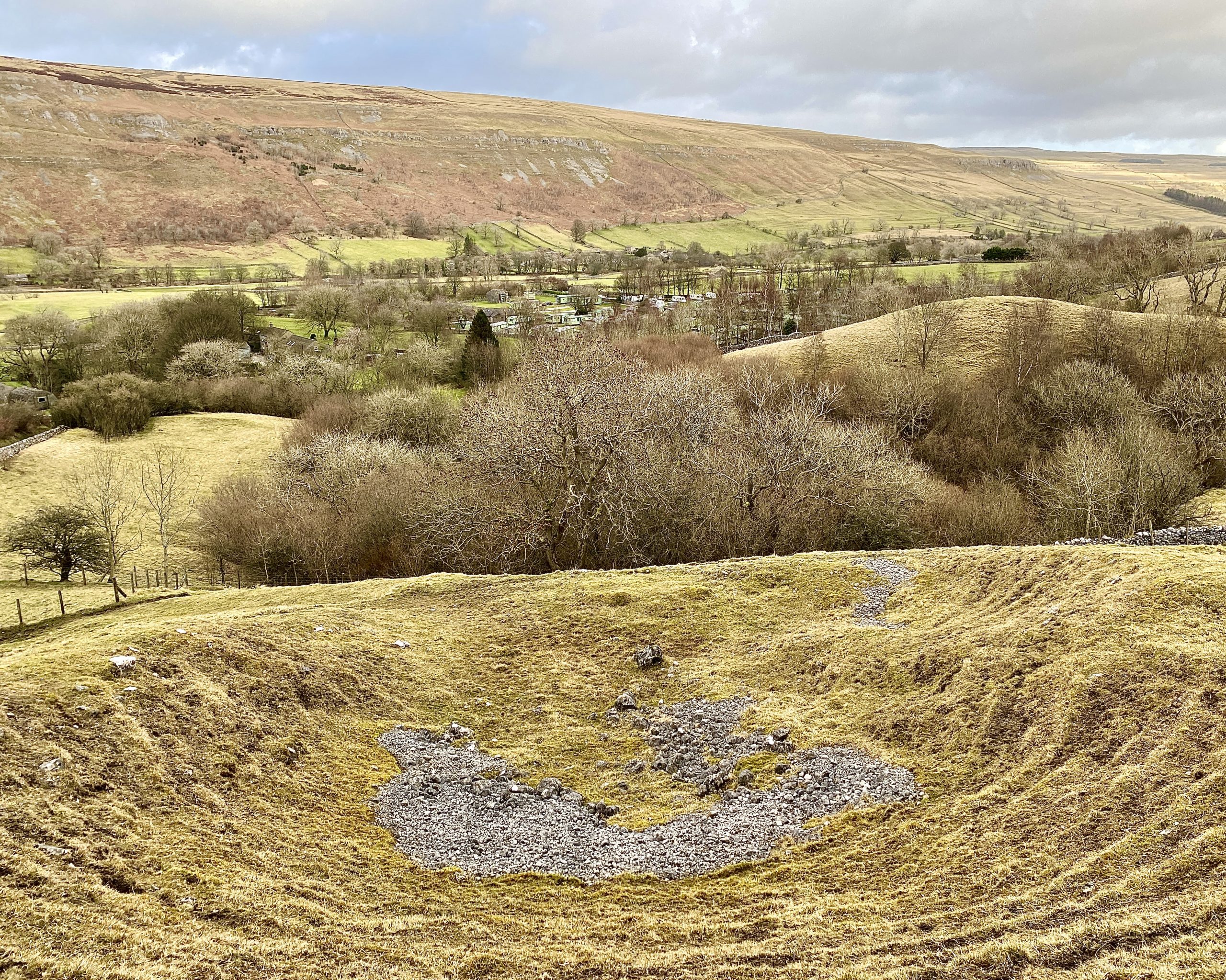
The village of Arncliffe nestled in the Littondale valley, backed by Old Cote Moor.
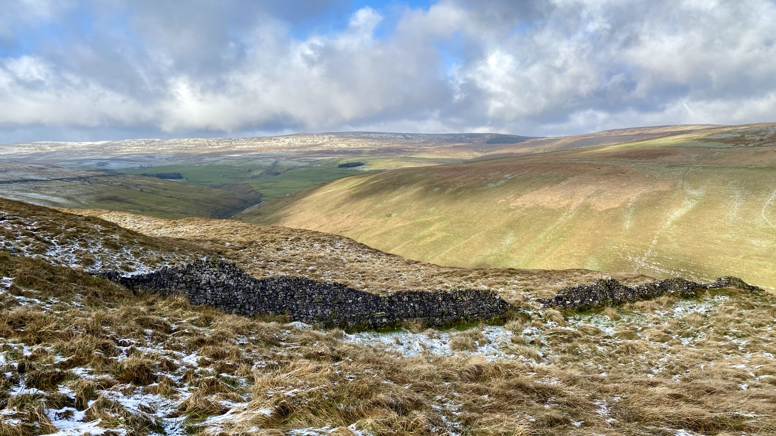
The view west from Monks Road (Path) on Clowder towards Fountains Fell.
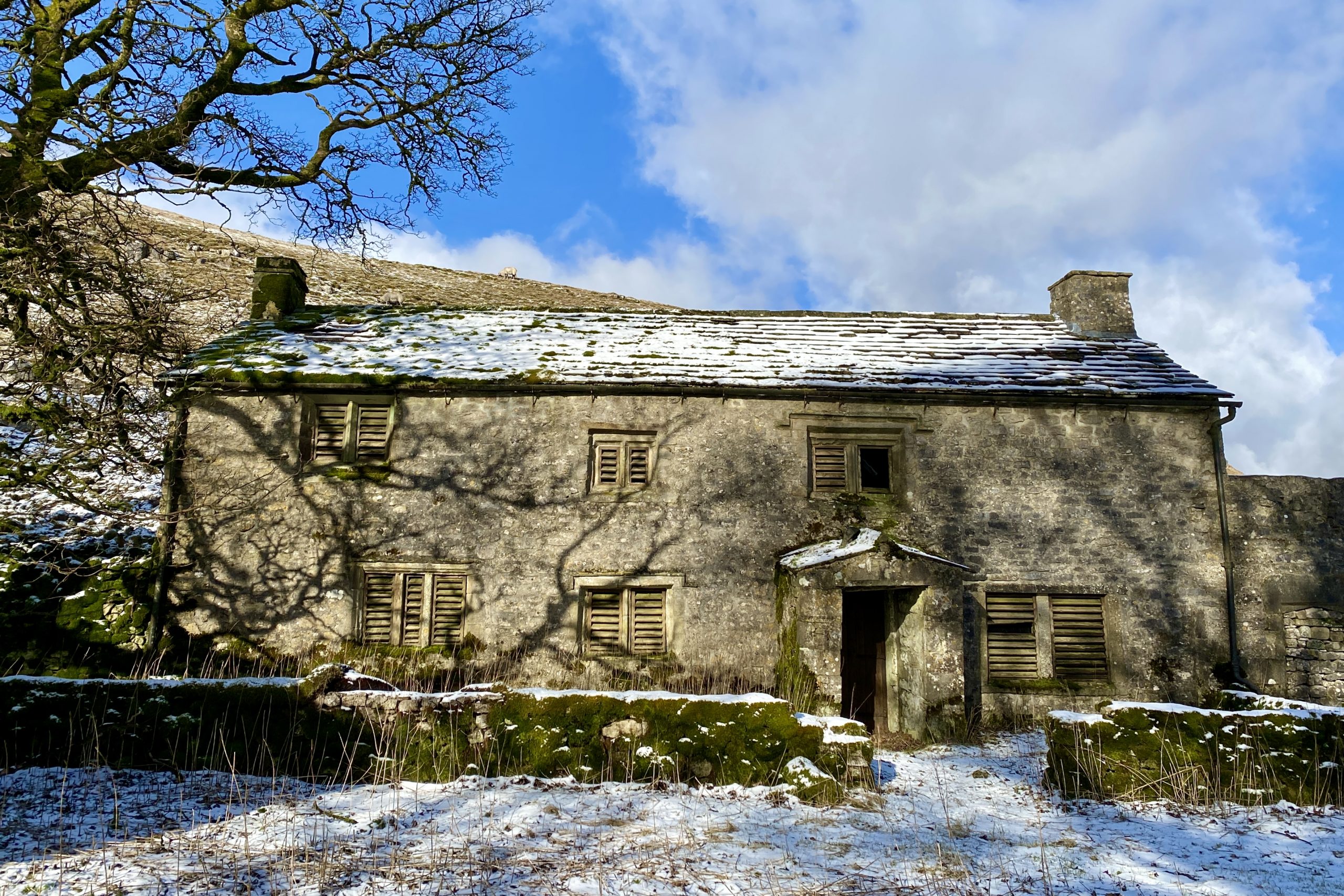
Old farmhouse and outbuilding by the side of Monk’s Road near Back Pasture Hill.
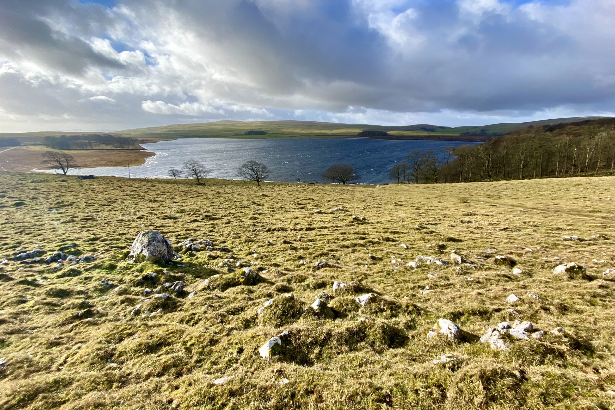
The first sighting of Malham Tarn from Monk’s Road on the north-western flanks of Great Close Hill.
Looking across to one of the boat houses on the northern shores of Malham Tarn.
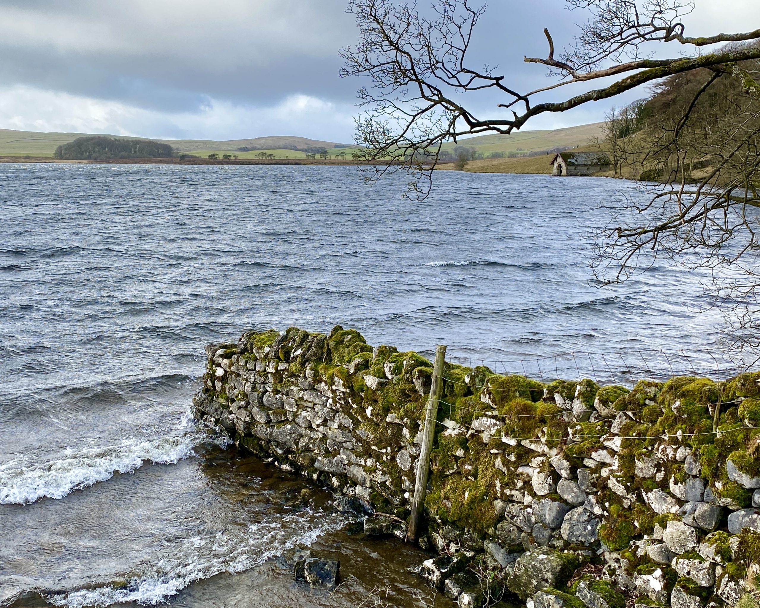
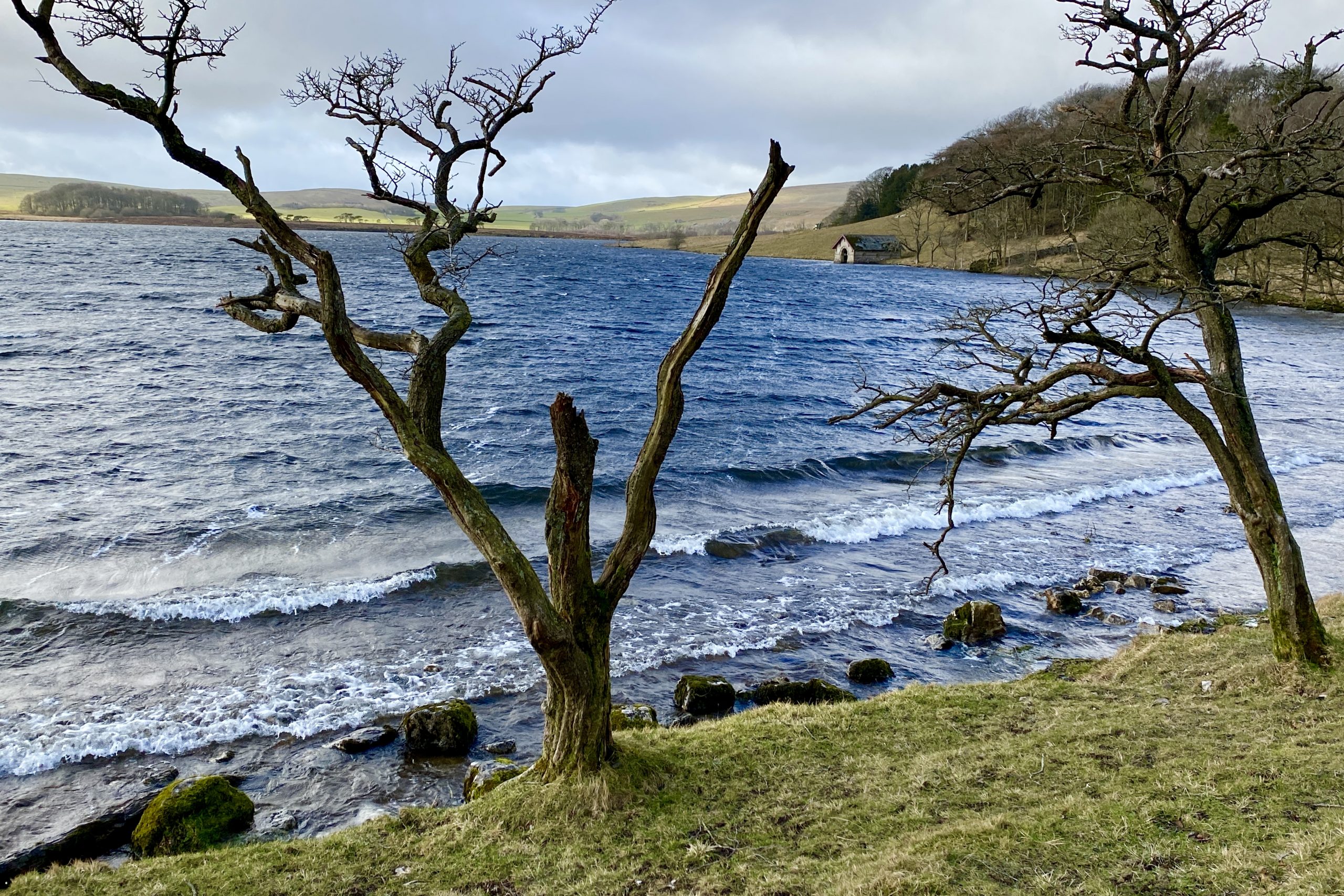
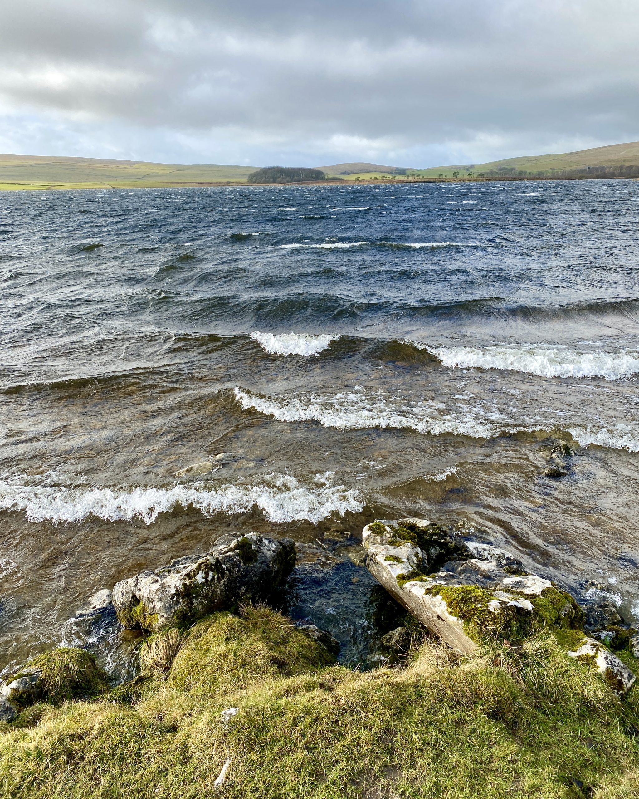
Strong winds blowing across Malham Tarn are making the water choppy.
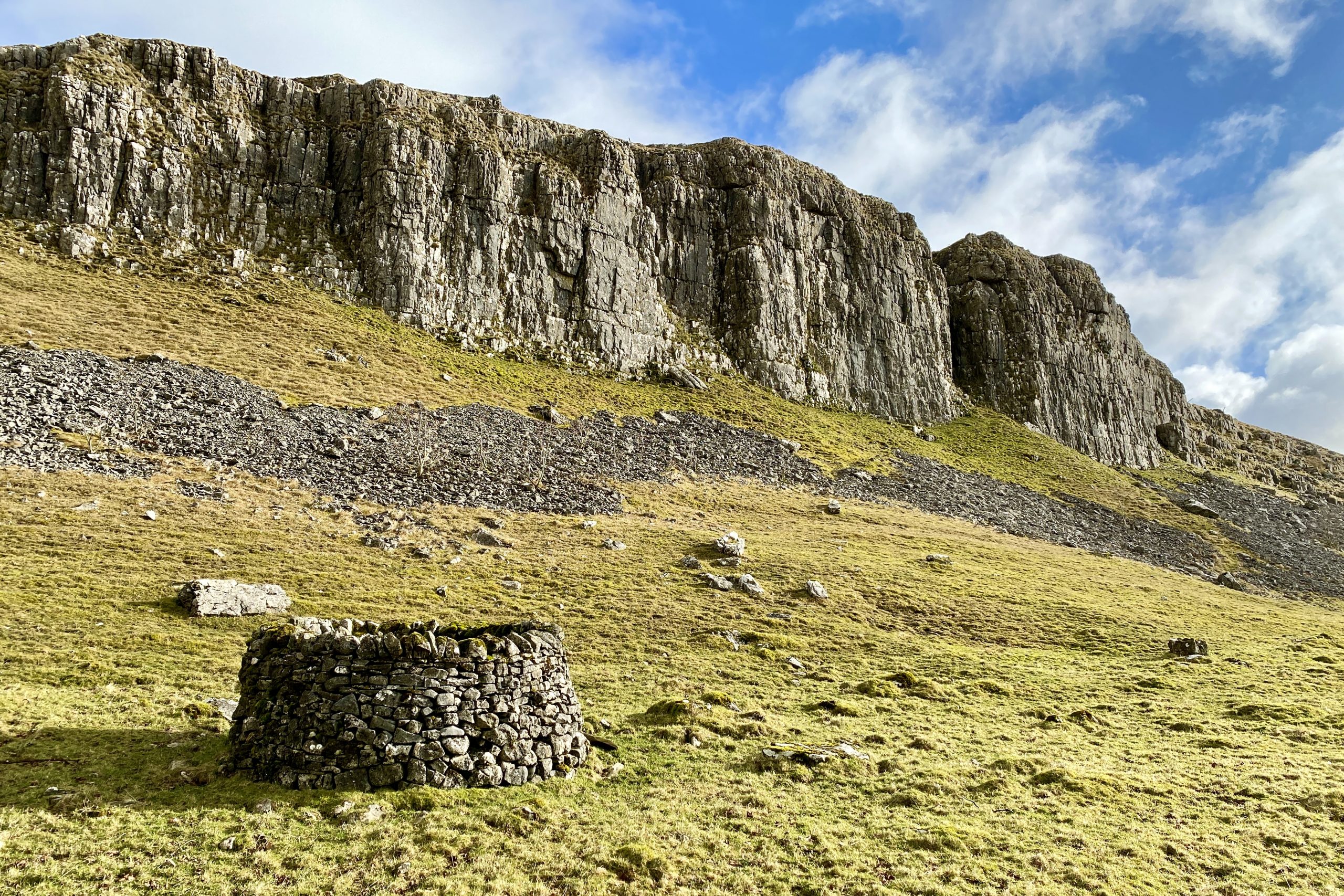
Great Close Scar on the southern side of Great Close Hill.
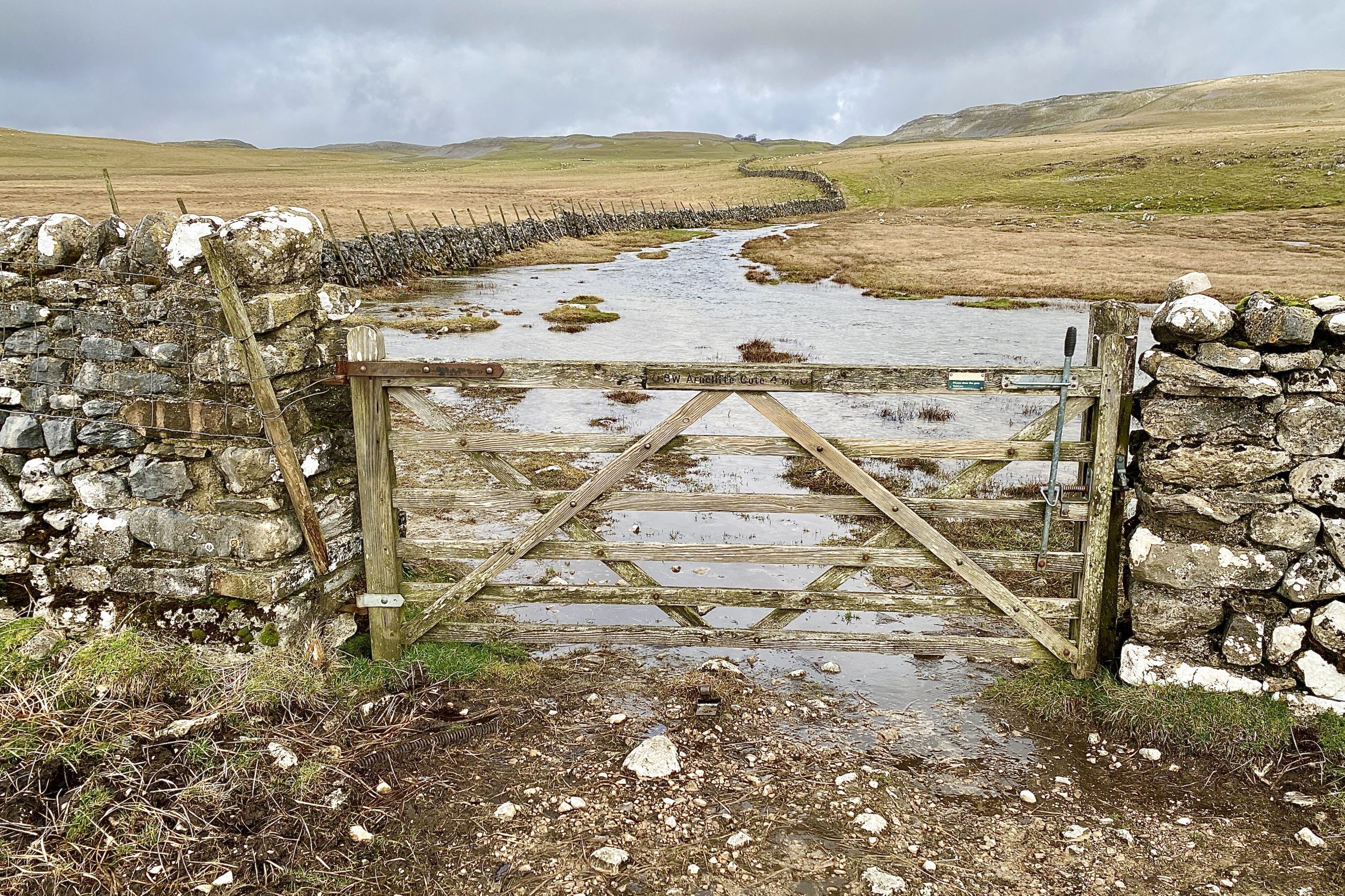
In winter the Arncliffe Cote bridleway at Great Close Mire is often flooded and difficult to cross without getting your feet wet.
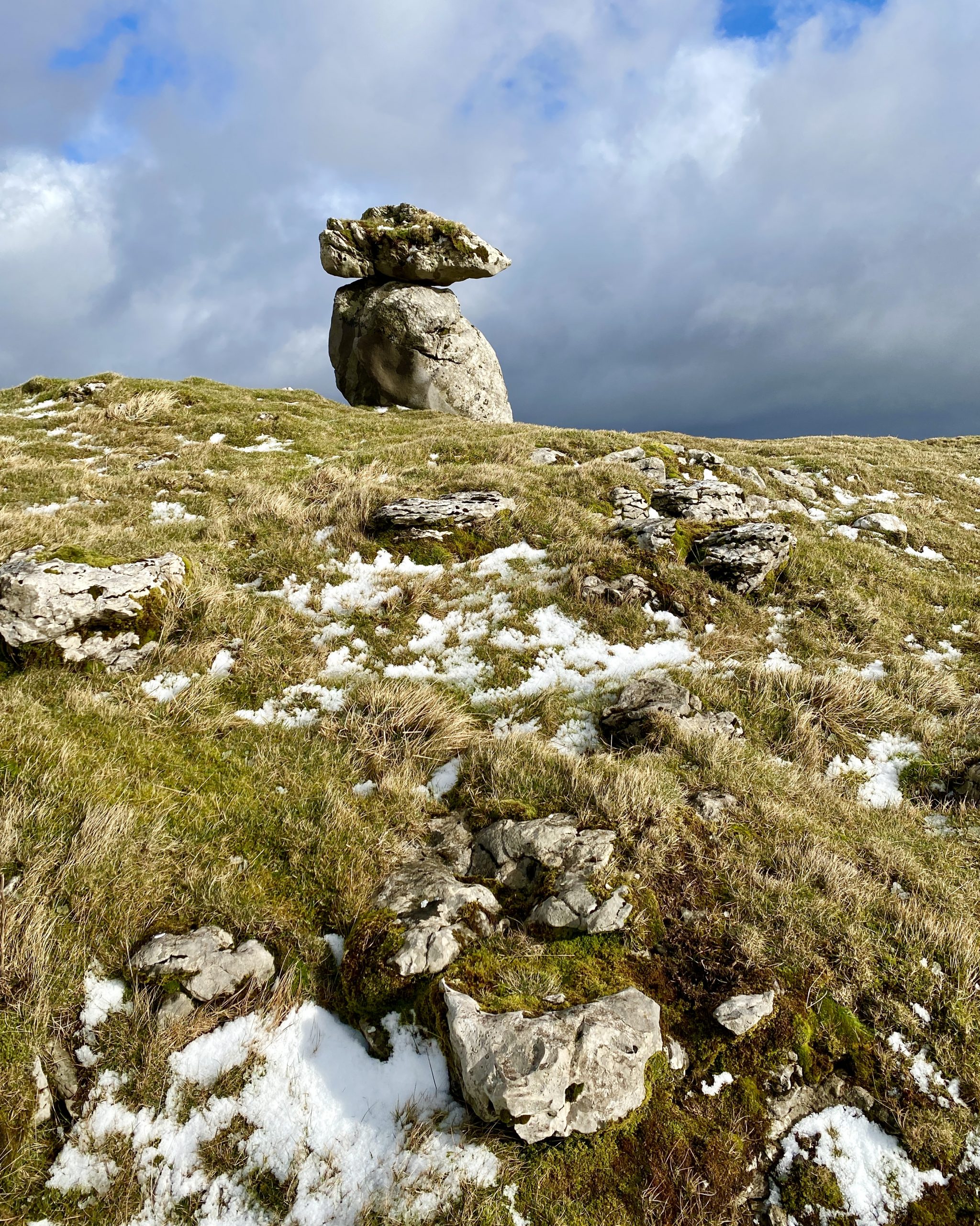
The highest point on Lee Gate High Mark, height 510 metres (1673 feet).
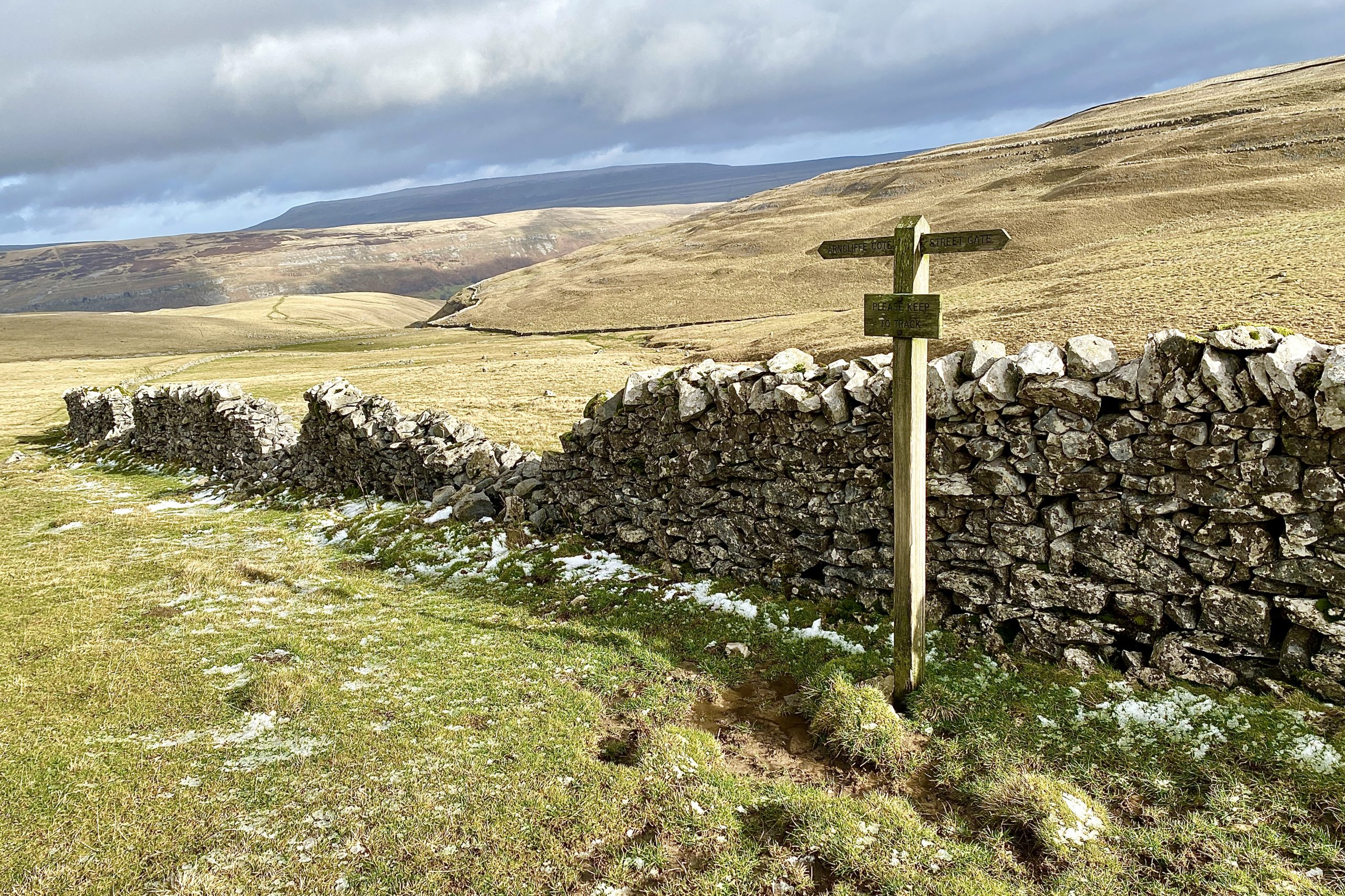
Signpost on High Cote Moor marking Arncliffe Cote to the north-east and Street Gate near Malham Tarn to the south-west.
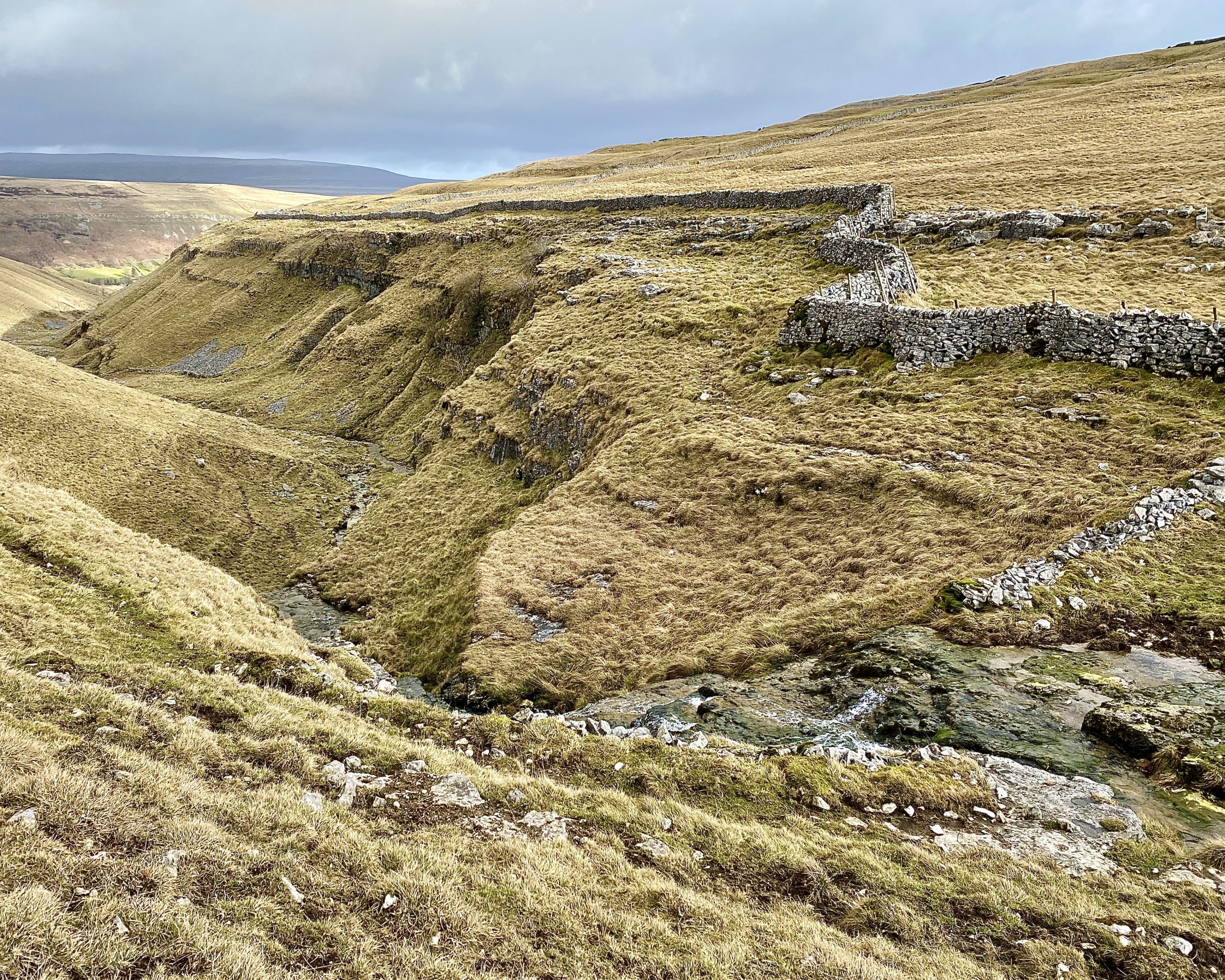
Cote Gill, flowing north-east towards Arncliffe Cote, has cut through the landscape to create a small V-shaped valley.
A disused pit on the hillside near the caravan park at Hawkswick Cote.
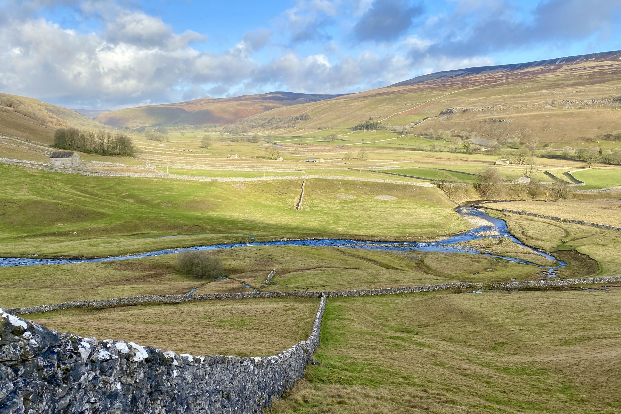
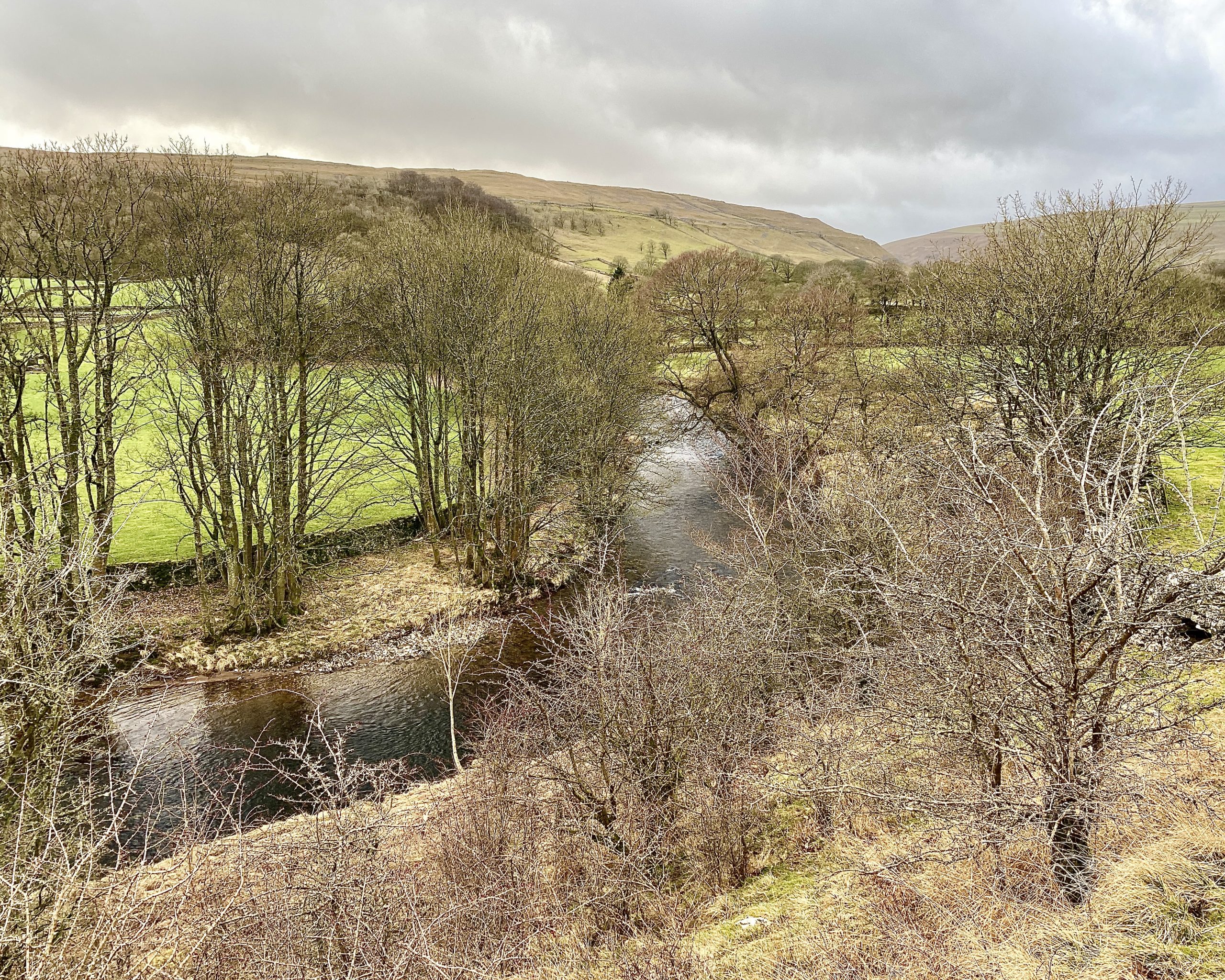
The River Skirfare flowing through Littondale between Hawkswick and Arncliffe.
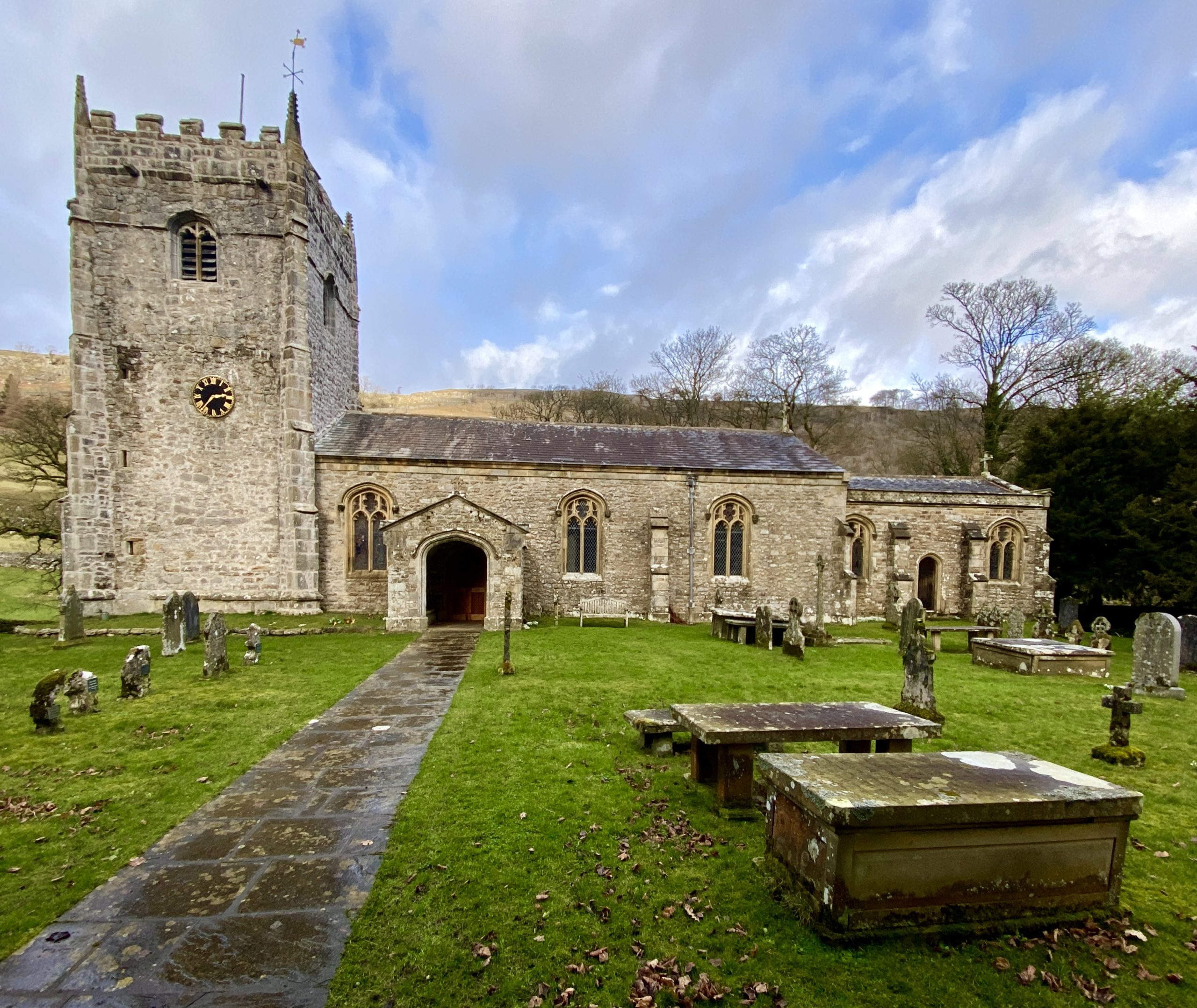
The Church of St Oswald, Arncliffe.
The River Skirfare as seen from the graveyard of the Church of St Oswald, Arncliffe.

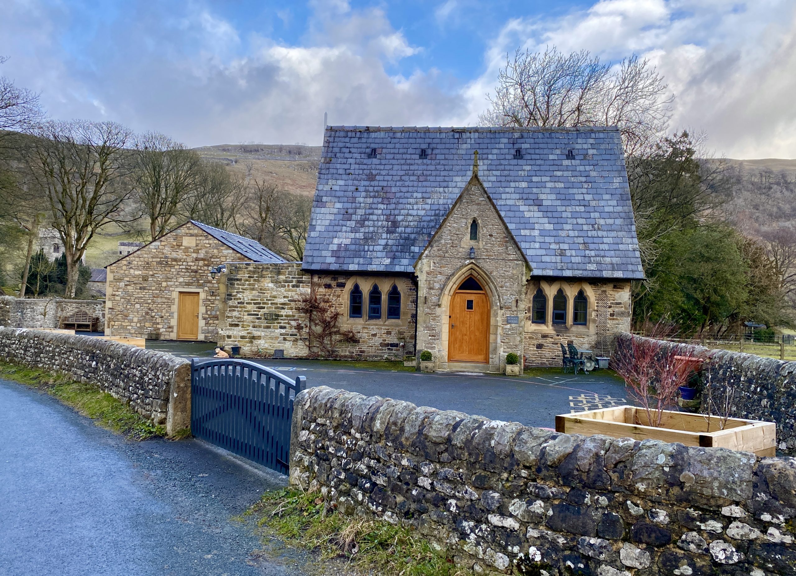
School House, Arncliffe.