ADVERTISEMENT
A Comprehensive Guide to the Hovingham Walk Featuring the Howardian Hills and Terrington’s Charm
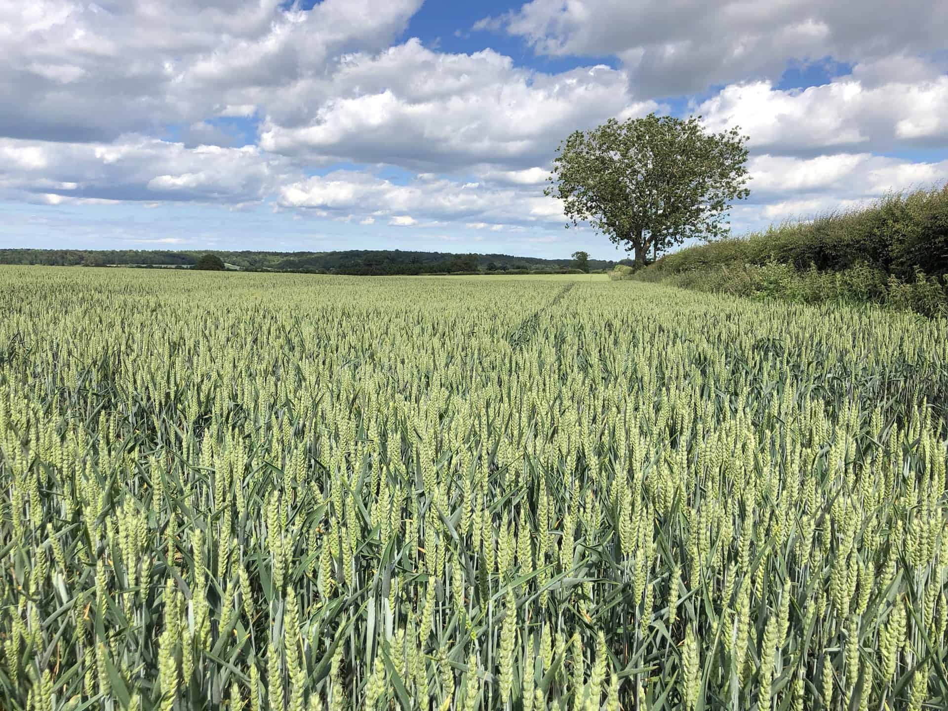
Discover this delightful 9-mile Hovingham walk through the picturesque Howardian Hills, rich in natural beauty and charming landscapes. Begin your Hovingham walk adventure in the quaint village of Hovingham. From here, head south along the Ebor Way, a popular walking route that leads you into South Wood.
Next, venture south-east through the woodland towards Hollin Hill Bogs. Following this, proceed south along the Ebor Way, also known as the Centenary Way, passing through Howthorpe Farm to reach Huskit Hill.
ADVERTISEMENT
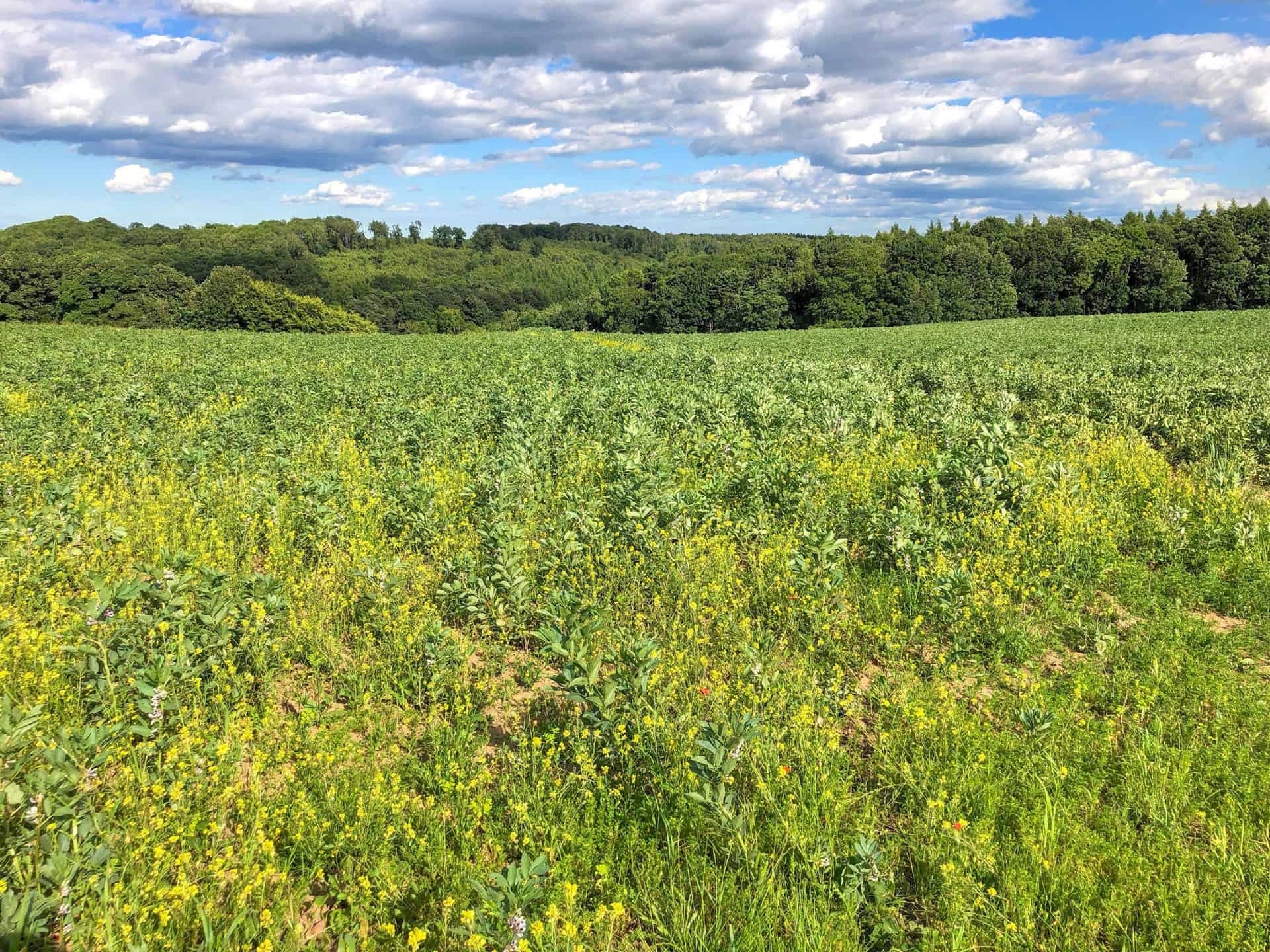
From Huskit Hill, head south-west across fields, eventually arriving at the village of Terrington. Take some time to explore the village, admiring the historic architecture and friendly atmosphere. You’ve reached roughly the halfway point of your Hovingham walk.
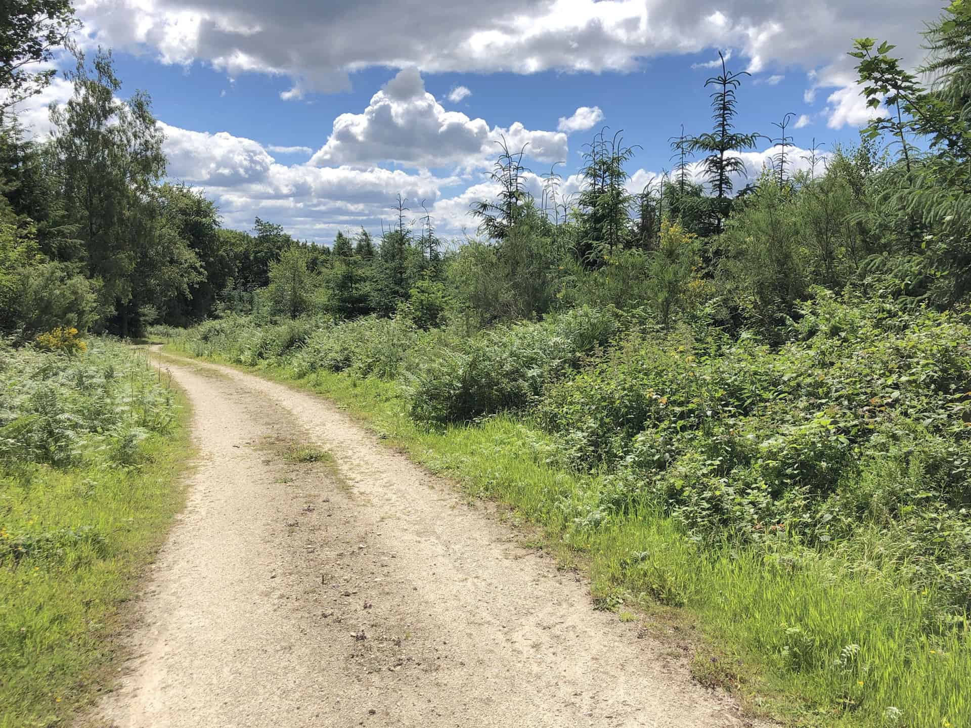
Once you’re ready to continue, head north along New Road to Low Water. Then, make your way north-west, passing Rushwood Farm on your way to Hovingham Lodge.
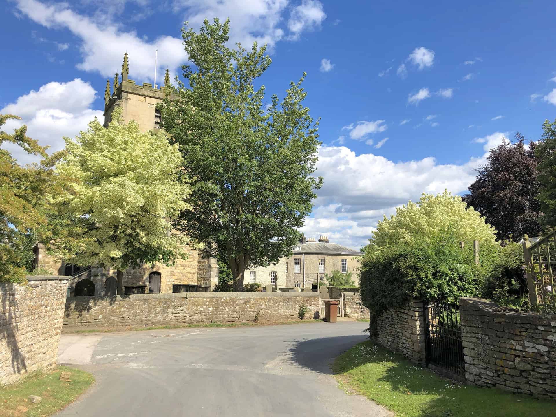
Upon reaching Hovingham Lodge, follow a north-easterly direction through the enchanting woods of Horse Coppice. Finally, meander through Hovingham Park before returning to the village of Hovingham to complete your Hovingham walk in the Howardian Hills.
Hovingham Walk: Maps and Tools
Visit either the OS Maps website or the Outdooractive website to view this walking route in greater detail. Both platforms offer a range of features, including the ability to print the route, download it to your device, and export the route as a GPX file. You can also watch a 3D fly-over and share the route on social media.
Hovingham Walk: Distance, Duration, Statistics
Distance: 9¼ miles
Distance: 14¾ kilometres
Duration: 4 hours
Ascent: 862 feet
Ascent: 263 metres
Type: Circular walk
About Hovingham
Hovingham, a picturesque village in North Yorkshire’s Ryedale district, lies approximately 7 miles south of Kirkbymoorside, on the edge of the Howardian Hills. First mentioned in the Domesday Book of 1086, the village’s name signifies ‘the village of Hofa’s people’.
Fascinatingly, this charming village exhibits signs of Roman presence, with discoveries of a Roman bath, tesselated pavement, and various artefacts during Hovingham Hall garden’s construction. Moreover, the village once had a station on the Thirsk and Malton branch of the North Eastern Railway.
According to the 2011 Census, Hovingham had a population of 362. The village houses one school, the Hovingham Church of England Voluntary Controlled Primary School, constructed in 1864 and expanded in 1888. This Grade II listed building remains an important landmark.
Hovingham is home to two Grade II listed churches: All Saints Parish Church and the Methodist Church. Notably, All Saints Parish Church features a Saxon-era tower and an impressive 10th-century altar cross.
Recommended Ordnance Survey Map
The best map to use on this walk is the Ordnance Survey map of the Howardian Hills & Malton, reference OS Explorer 300, scale 1:25,000. It clearly displays footpaths, rights of way, open access land and vegetation on the ground, making it ideal for walking, running and hiking. The map can be purchased from Amazon in either a standard, paper version or a weatherproof, laminated version, as shown below.
Hovingham Walk: My Photos
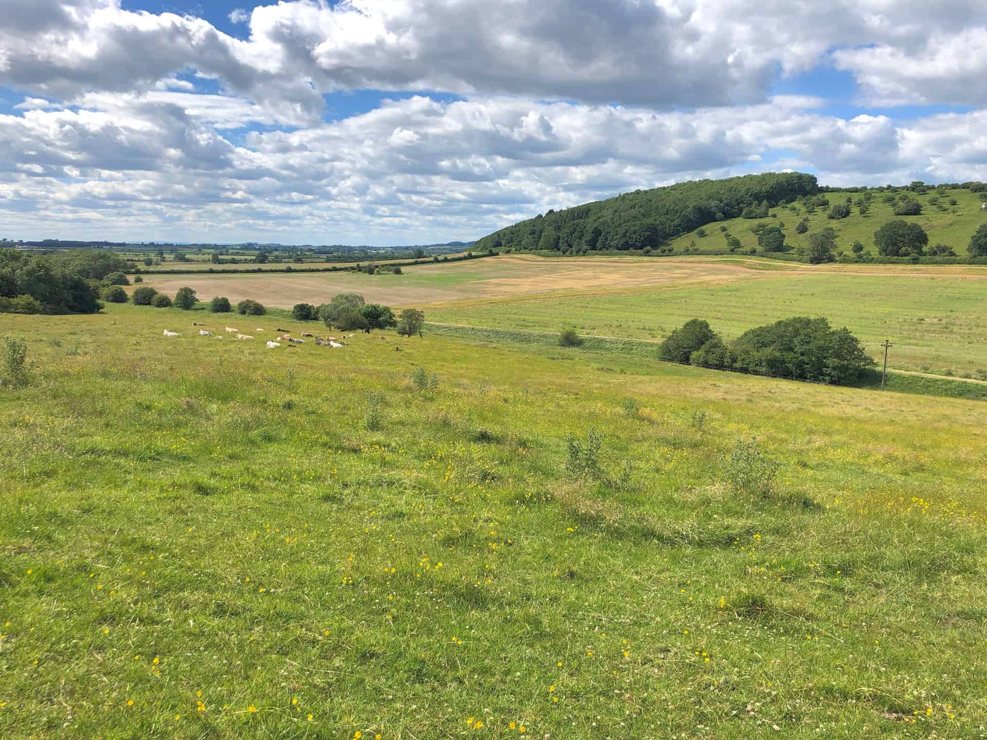
The Howardian Hills
The Howardian Hills, situated in North Yorkshire, is a designated Area of Outstanding Natural Beauty (AONB). Covering 79 square miles, this enchanting region lies between the Yorkshire Wolds, the North York Moors National Park, and the Vale of York. Named after the Howard family, who still own local lands, the area is known for its picturesque landscapes and rich biodiversity.
ADVERTISEMENT
Characterised by well-wooded undulating countryside, the Howardian Hills feature Jurassic limestone, pastures, and extensive woodlands. The 170-metre high ridges are a southern extension of the Hambleton Hills in the North York Moors. The eastern edge of the hills is marked by the River Derwent, which flows through the Kirkham Gorge, a deep winding valley formed by the glacial Lake Pickering.
While there are no towns within the AONB, the market towns of Helmsley and Malton are located just beyond the boundary. Notable settlements include a line of villages from Malton to Hovingham, as well as the village of Ampleforth, which houses the Abbey and College. The area features numerous older buildings constructed from locally quarried limestone with red pantile roofs.
ADVERTISEMENT
The region’s land use comprises high-grade arable land, pasture, and managed woodland, contributing to its rich farming heritage and diverse rural character. The Howardian Hills AONB is home to several nationally important Biodiversity Action Plan (BAP) Priority habitats, including lowland broadleaved woodland, wood pasture, veteran trees, limestone, and neutral grasslands and fen meadows. Species such as brown hare, lapwing, tree sparrow, and barn owl can be found in the area, alongside local rarities like knapweed broomrape and baneberry.
ADVERTISEMENT
The AONB designation for the Howardian Hills is due to a combination of special qualities, including its unique landform, varied landscape, high visual quality, remarkable heritage, and important wildlife resources. The area is the only region of Jurassic limestone in Northern England with AONB status, making it a noteworthy destination for both locals and visitors alike. The landscape is further enhanced by archaeological and historic features, such as Iron Age earthworks, medieval castles, and grand houses like Castle Howard, Newburgh Priory, Hovingham Hall, Gilling Castle, and Nunnington Hall.
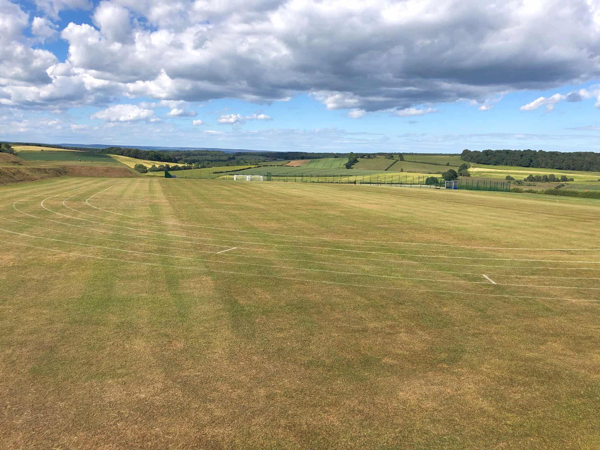
Sports field at Terrington Hall School. Established in the 1920s, the school caters to students aged 3 to 13 years old.
ADVERTISEMENT
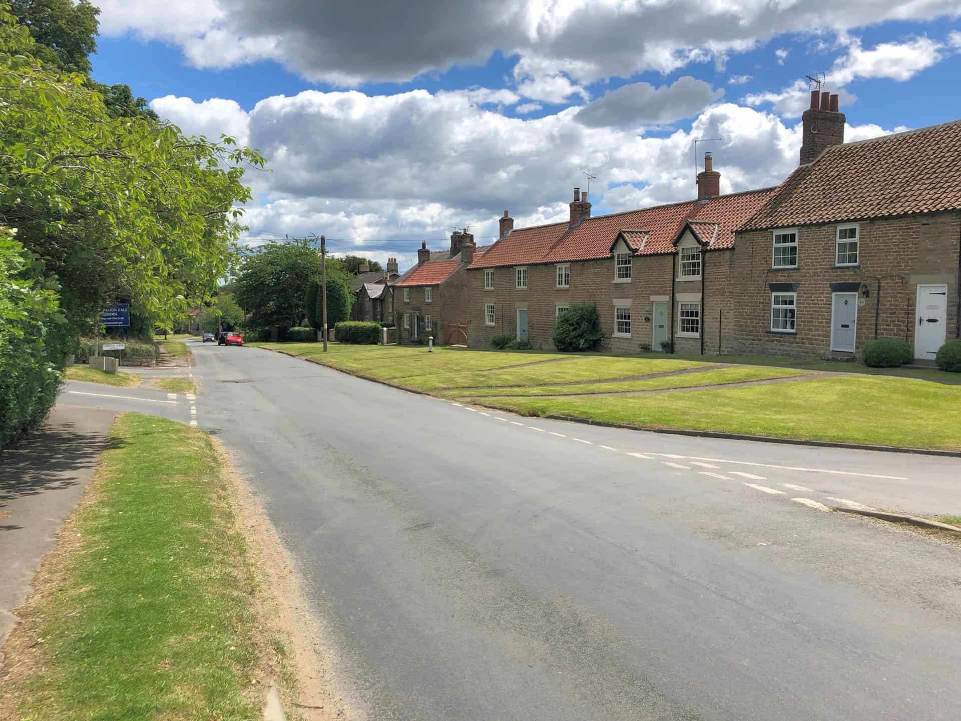
The village of Terrington
Terrington is a charming village situated approximately four miles west of Malton. The village’s origins date back to the Domesday Book, where it is mentioned as Teurintone. The lands were divided between the manors of Bulmer and Foston and were later held by various noble families throughout the centuries.
The village name is Old English, with several suggested meanings. One suggestion is that it is from Tiefrung, a picture, linked to an older history of a Roman villa and mosaic floors. Another is the Anglo-Saxon name for witchcraft. Lastly, it could be the combination of the Saxon personal name, Teofer, and tun, meaning Teofer’s farm.
Governed under the Thirsk and Malton UK Parliament constituency, Terrington is part of the Hovingham and Sheriff Hutton electoral division of North Yorkshire County Council and the Hovingham ward of Ryedale District Council. The parish encompasses the hamlets of Wiganthorpe, Mowthorpe, and Ganthorpe.
Geographically, the village is situated near the settlements of Wiganthorpe, Dalby, and Ganthorpe. The Ebor Way and Centenary Way long-distance footpaths run through the village. As of the 2011 census, Terrington had a population of 459, with a fairly even gender distribution.
ADVERTISEMENT
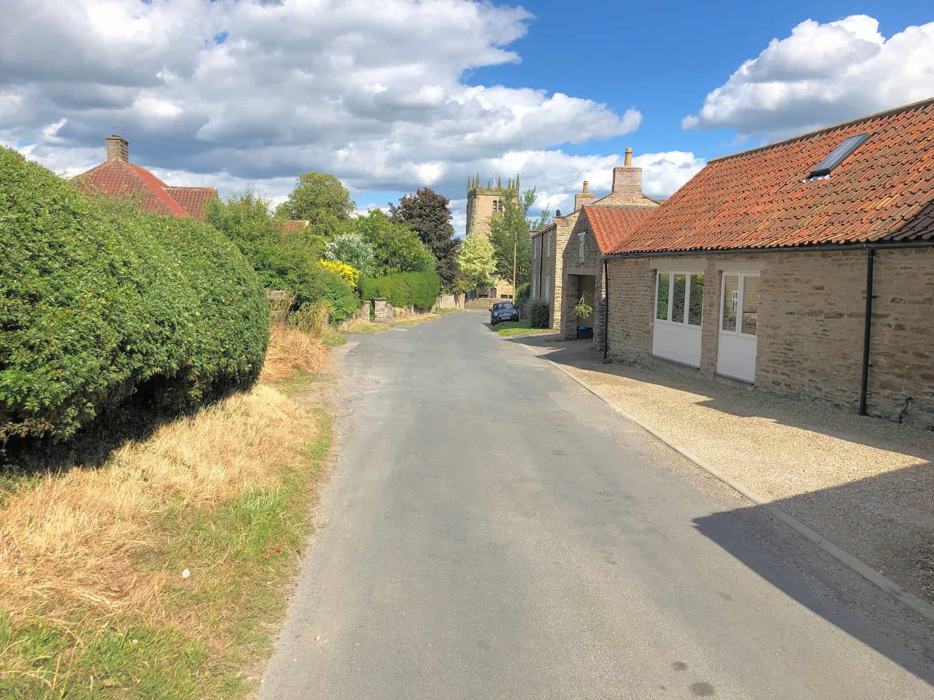
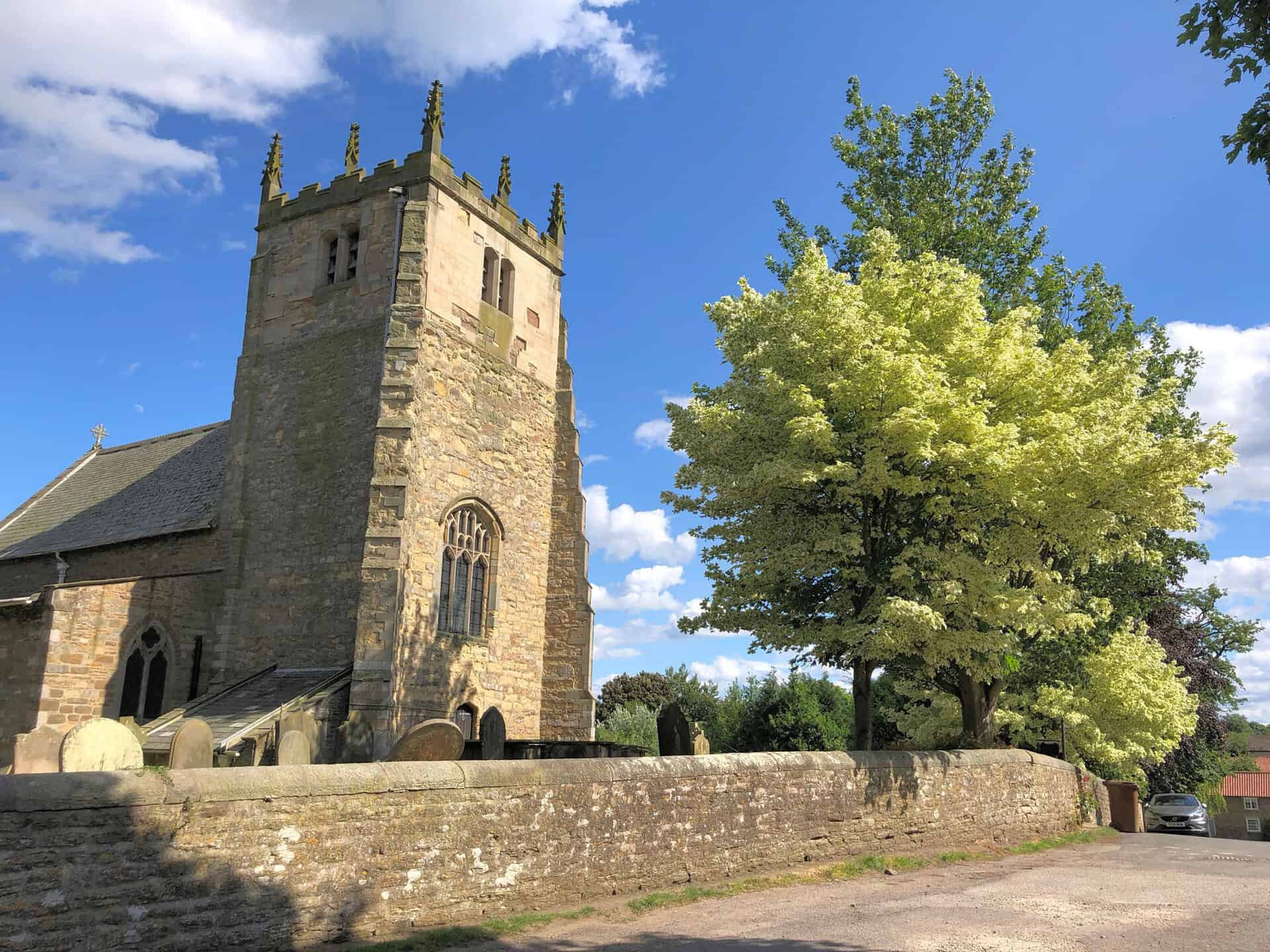
All Saints Church, Terrington
The Church of All Saints in Terrington is a Grade I listed building with a rich history. Its south nave wall dates back to the 11th century, the north arcade to the 12th century, the chancel arch to the 14th century, and the tower, north aisle, and chancel to the 15th century. The south aisle and porch were added in 1868. The Grade I listing includes the structure itself and any objects or structures fixed to it or within its curtilage since before 1st July 1948.
ADVERTISEMENT
ADVERTISEMENT