Langcliffe and Austwick
West from Langcliffe to Stackhouse by way of the disused cotton mill and Langcliffe Place, then north-west on A Pennine Journey all the way to Feizor. West along the Pennine Bridleway to Austwick and, after a look around the village, east to meet the Dales High Way on the north side of Wharfe Wood. South back to Feizor then east to Little Stainforth and Stainforth Force, before returning to Langcliffe by following the course of the River Ribble. A 12-mile walk in the Yorkshire Dales.
Recommended Ordnance Survey Map
The best map to use on this walk is the Ordnance Survey map of the Yorkshire Dales Southern & Western Area, reference OS Explorer OL2, scale 1:25,000. It clearly displays footpaths, rights of way, open access land and vegetation on the ground, making it ideal for walking, running and hiking. The map can be purchased from Amazon in either a standard, paper version or a weatherproof, laminated version, as shown below.
Standard Version
My Photos
Weir on the River Ribble between Langcliffe and Stackhouse.

The view north towards Pen-y-ghent shortly after leaving Stackhouse on A Pennine Journey.
The grassy route of A Pennine Journey at Feizor Thwaite between Stackhouse and Feizor. Ingleborough can be seen in the distance on the left, recognisable by its distinctive flat plateau.


Walking in the Yorkshire Dales with 43 Circular Routes
AD This Cicerone guidebook includes 43 circular walks exploring valleys, hills, and moors between Kirkby Stephen and Pateley Bridge. With OS maps, local highlights, and routes ranging from 3–11 miles, it is a year-round companion for walkers of all abilities.
The track down to Feizor.

Grisport Unisex Adult Peaklander Hiking Boots
AD The Grisport Unisex Adult Peaklander Hiking Boots are crafted in Italy with a durable waxed leather upper, Spotex breathable lining, and a reliable Track-on rubber sole. Waterproof and weighing just 1120g, they offer comfort, resilience, and dependable performance on demanding trails.
The tiny hamlet of Feizor. The name means ‘Fech’s summer pasture’, referring to a prominent local landowner whose name was recorded at the time of the Norman conquest.
The view north as we leave Feizor on the Pennine Bridleway.
Grisport Unisex Adult Peaklander Hiking Boots
AD The Grisport Unisex Adult Peaklander Hiking Boots are crafted in Italy with a durable waxed leather upper, Spotex breathable lining, and a reliable Track-on rubber sole. Waterproof and weighing just 1120g, they offer comfort, resilience, and dependable performance on demanding trails.
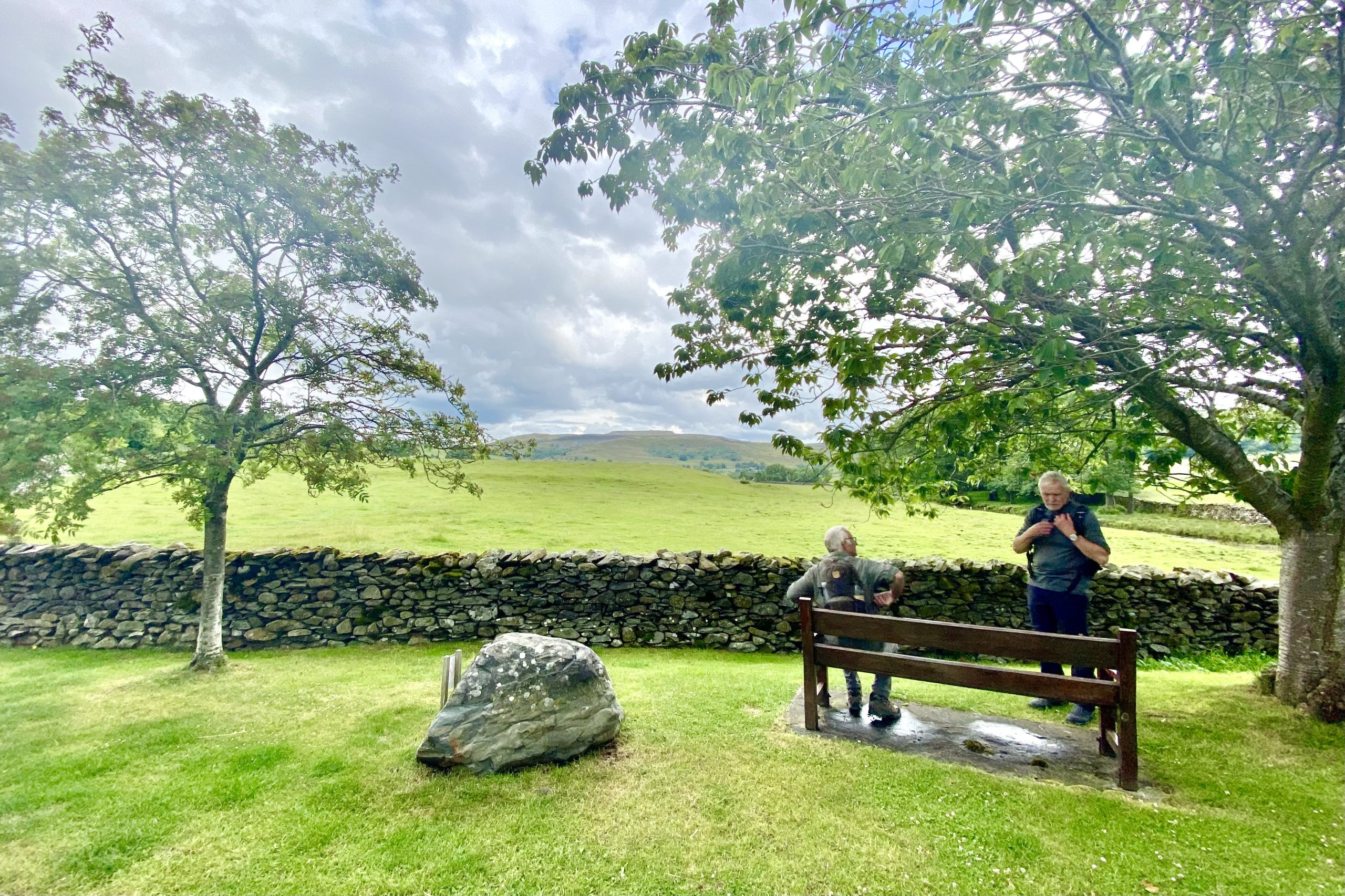
Time for a break just before we enter Austwick.
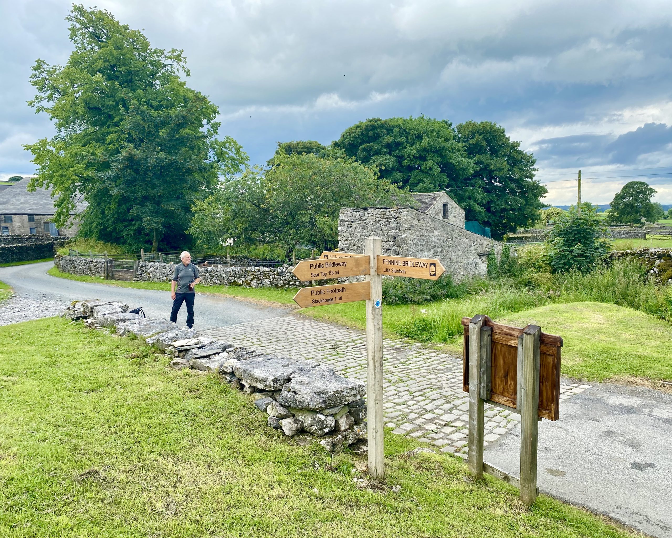
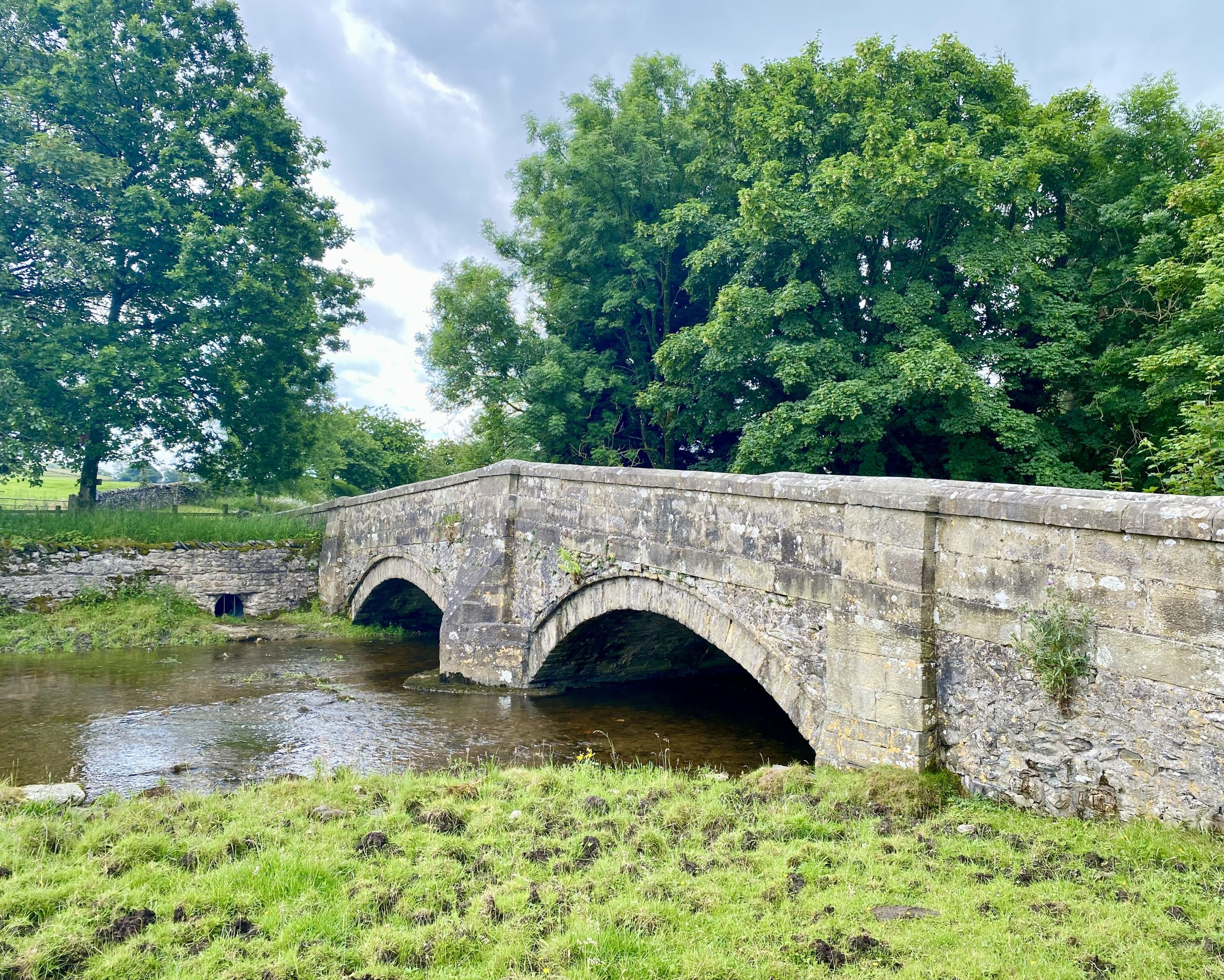
Austwick Bridge carrying Graystonber Lane over Austwick Beck.

Fifty Walks Across the Beautiful North York Moors National Park
AD Discover 50 routes across the North York Moors, from short easy strolls to challenging high-level hikes. With OS maps, route descriptions, and local highlights, it also includes the legendary 40-mile Lyke Wake Walk, described in four accessible stages.
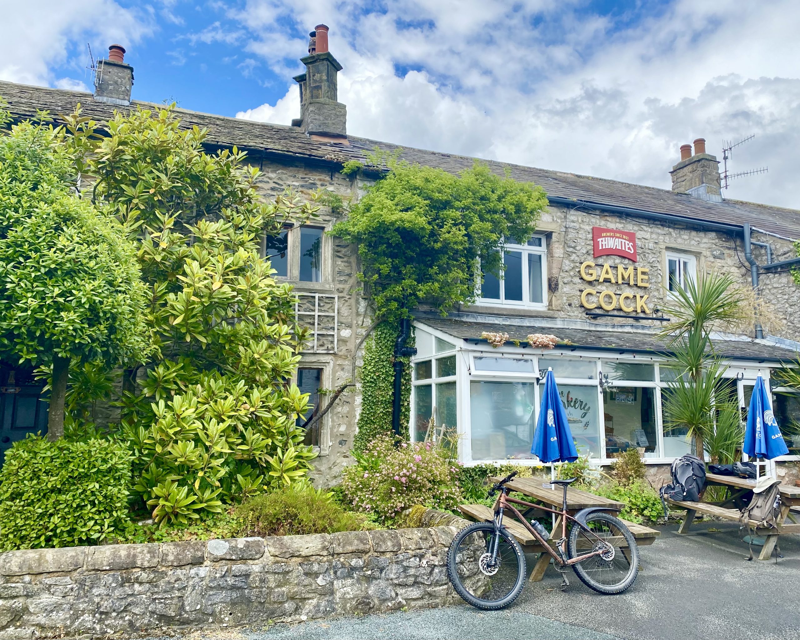
The Game Cock Inn in Austwick.
The Grade 2 listed Flascoe Bridge over Austwick Beck.
Fifty Walks Across the Beautiful North York Moors National Park
AD Discover 50 routes across the North York Moors, from short easy strolls to challenging high-level hikes. With OS maps, route descriptions, and local highlights, it also includes the legendary 40-mile Lyke Wake Walk, described in four accessible stages.
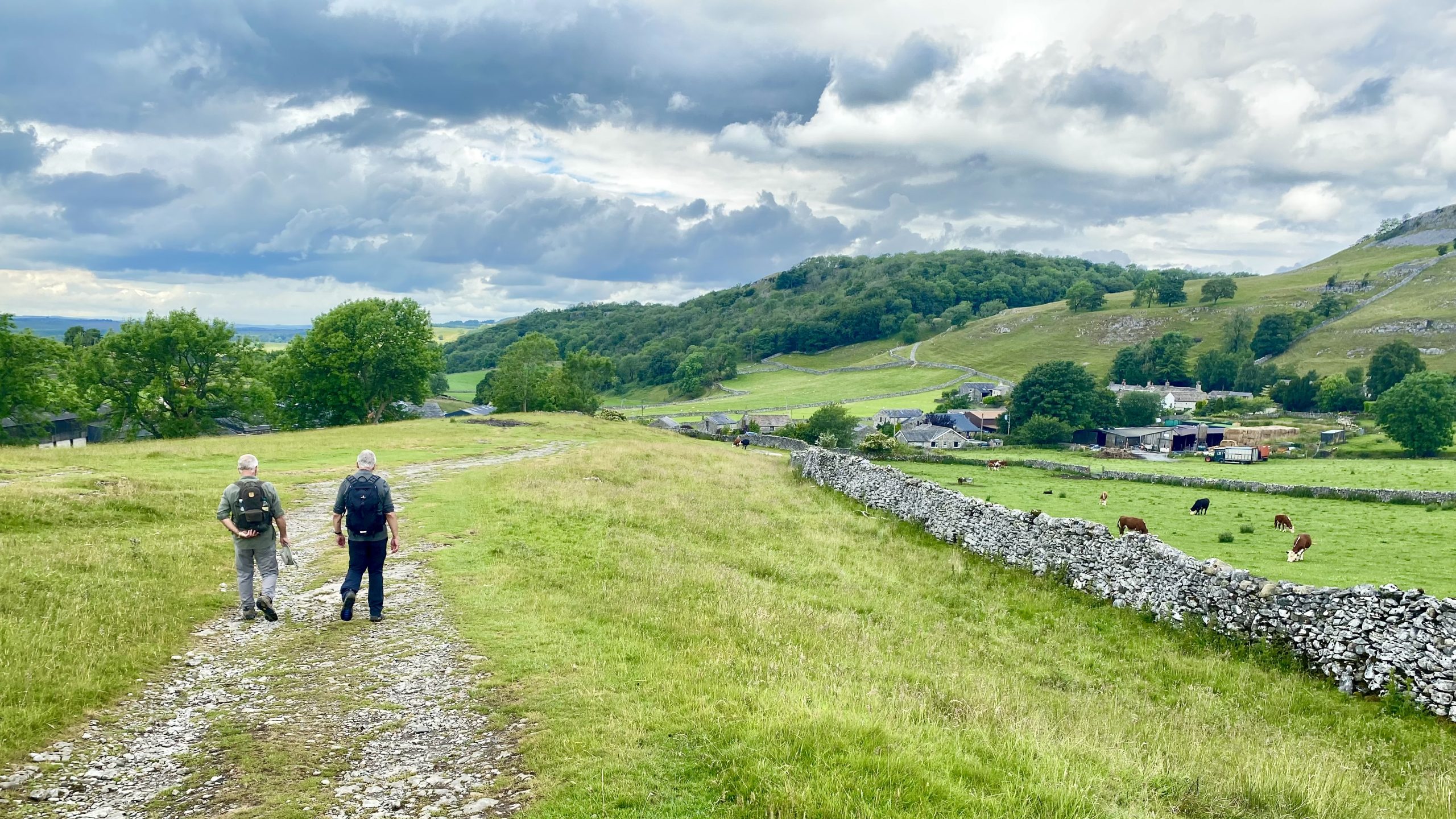
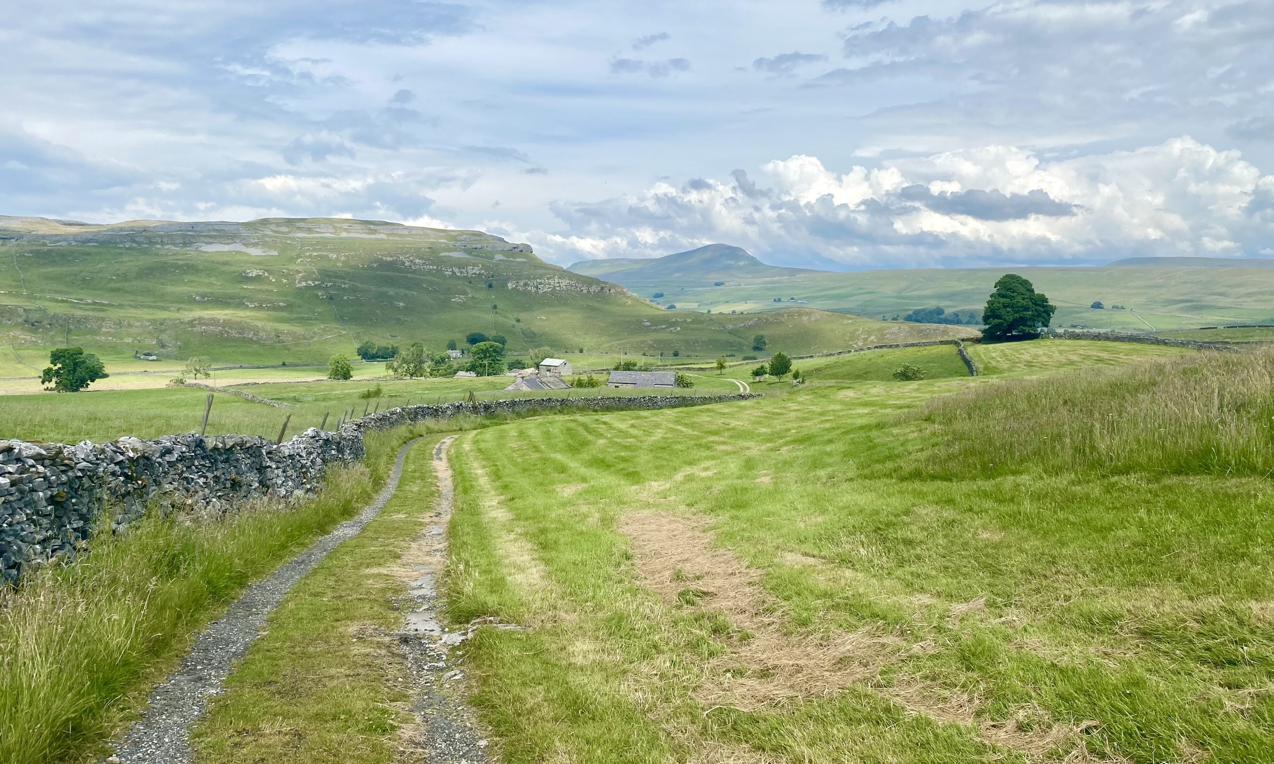
Jop Ridding Farm near Wharfe Wood.
Looking back towards Moughton Scar (foreground) and Pen-y-ghent (background) from the Dales High Way near Wharfe Wood.

Osprey Hikelite Unisex Backpack for Comfortable and Lightweight Hiking
AD The Osprey Hikelite backpack combines lightweight design with practical features, including a breathable mesh back panel, soft webbing straps, and stretch mesh water bottle pockets. With zipped storage and an organiser compartment, it is ideal for day hikes and outdoor use.
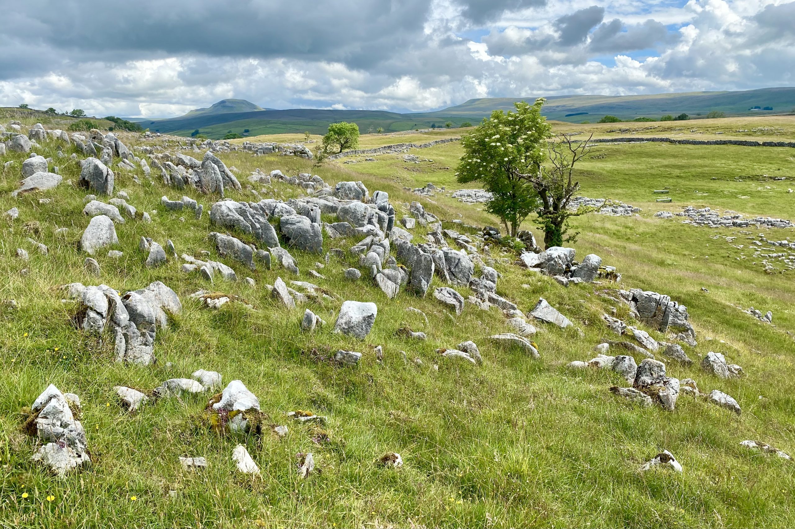
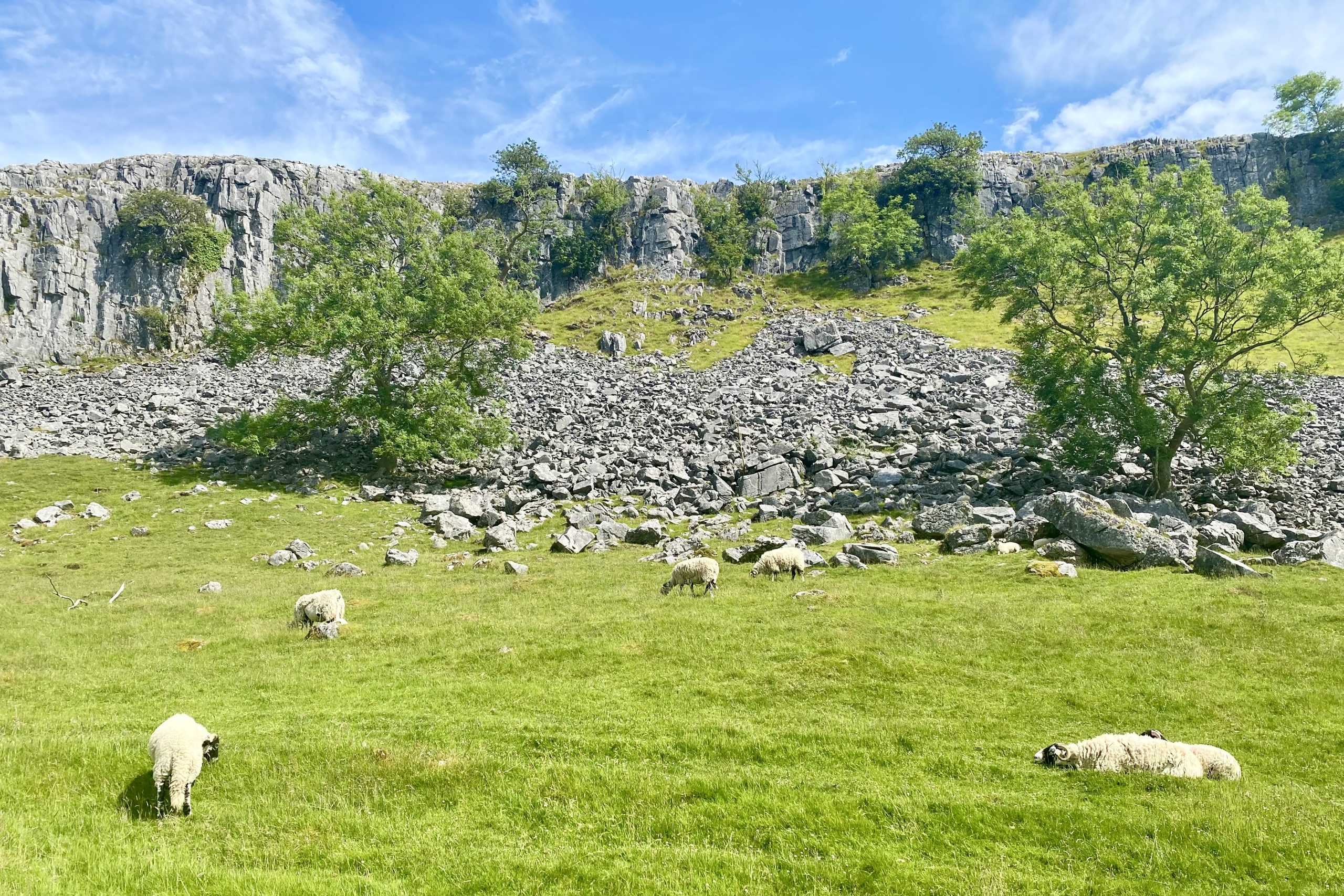
Beautiful limestone scenery just north of Feizor between In Moor and Feizor Wood.
Osprey Hikelite Unisex Backpack for Comfortable and Lightweight Hiking
AD The Osprey Hikelite backpack combines lightweight design with practical features, including a breathable mesh back panel, soft webbing straps, and stretch mesh water bottle pockets. With zipped storage and an organiser compartment, it is ideal for day hikes and outdoor use.
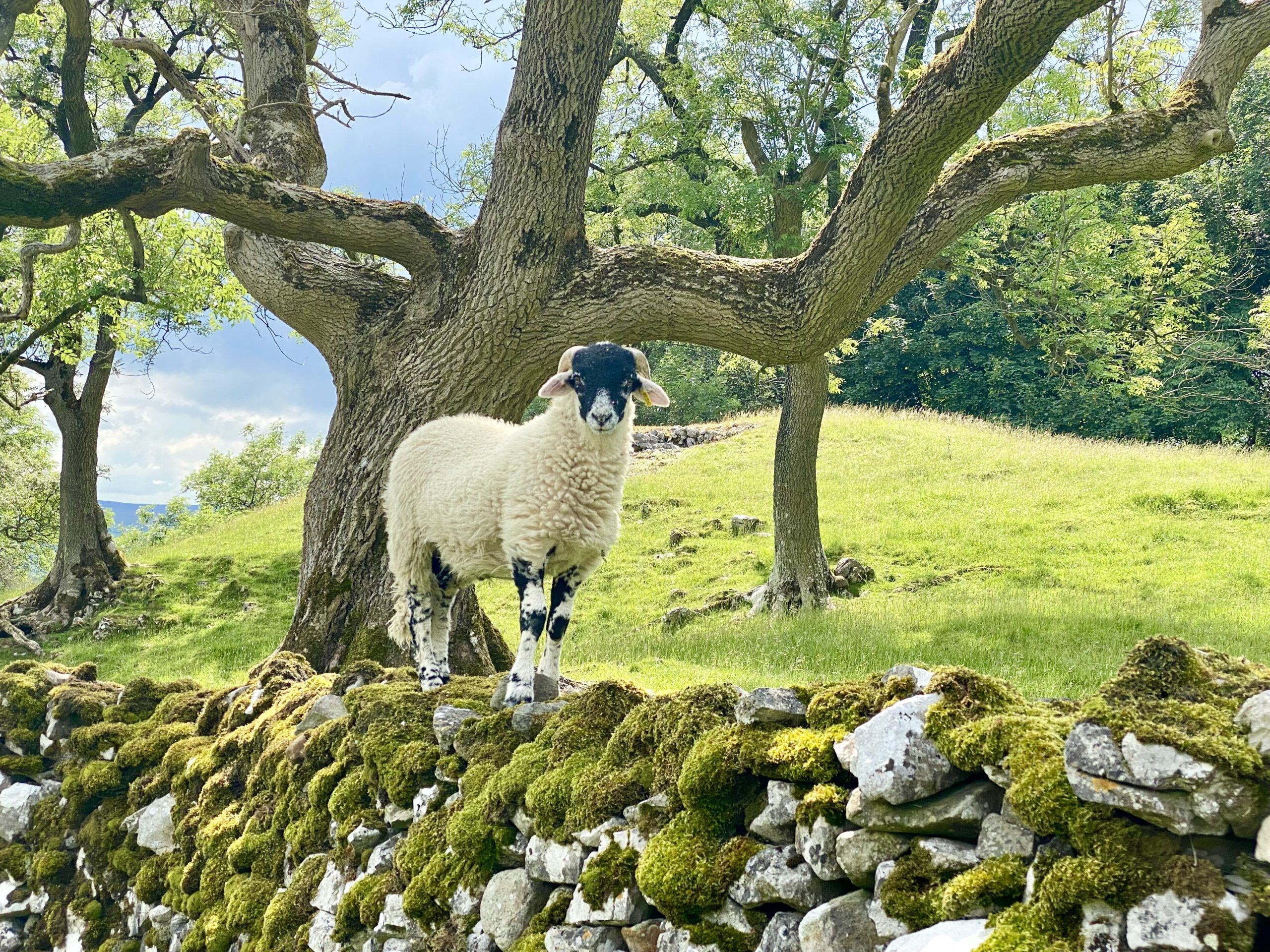
A young lamb decides to take a stroll across the top of a dry stone wall.


Peak Bagging Wainwrights with Routes to Complete All Fells
AD This comprehensive guide offers 45 circular routes linking all 214 Wainwright fells. With maps, GPX downloads, elevation profiles, and practical advice, it provides efficient yet inspiring ways to complete this classic Lake District challenge at your own pace.
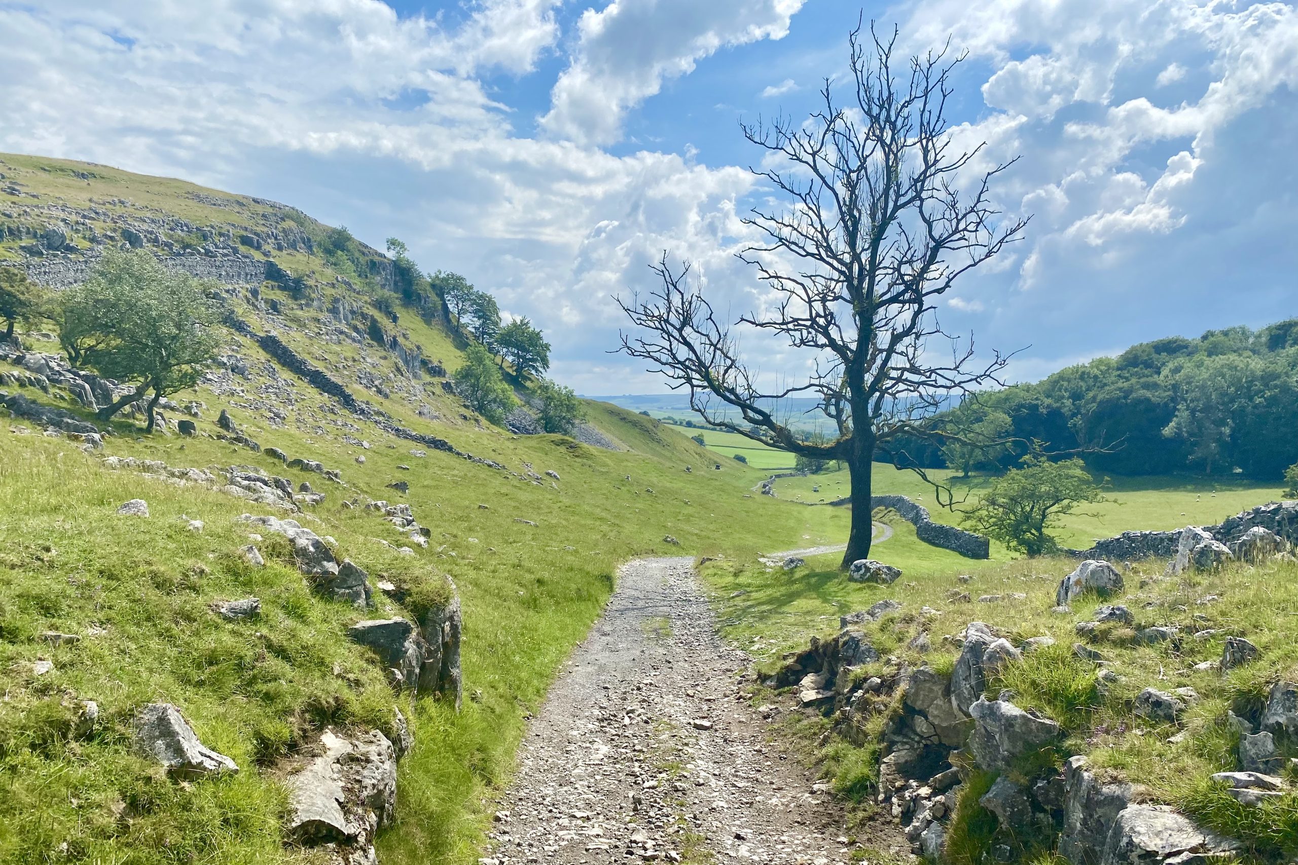
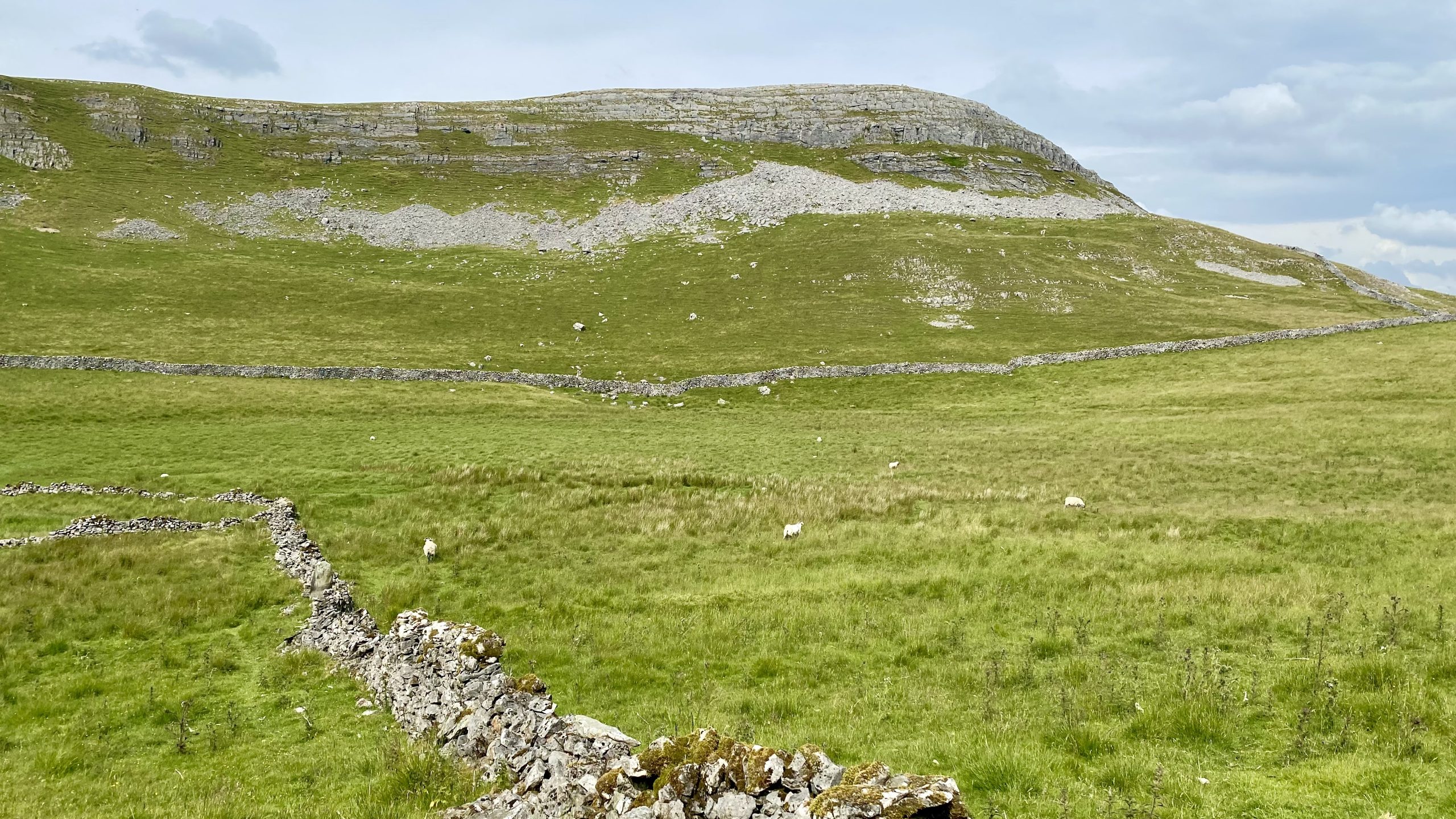
Smearsett Scar as seen from the Dales High Way between Feizor and Little Stainforth.
Peak Bagging Wainwrights with Routes to Complete All Fells
AD This comprehensive guide offers 45 circular routes linking all 214 Wainwright fells. With maps, GPX downloads, elevation profiles, and practical advice, it provides efficient yet inspiring ways to complete this classic Lake District challenge at your own pace.
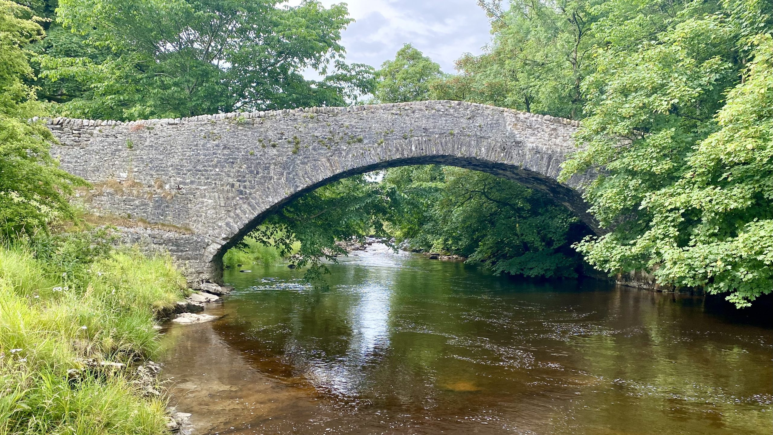
Stainforth Bridge, a 17th-century, arched packhorse bridge over the River Ribble at Stainforth Force. Now Grade 2 listed, the bridge was built in 1675 by Samuel Watson, a local Quaker who owned Knight Stainforth Hall, a Jacobean house nearby.
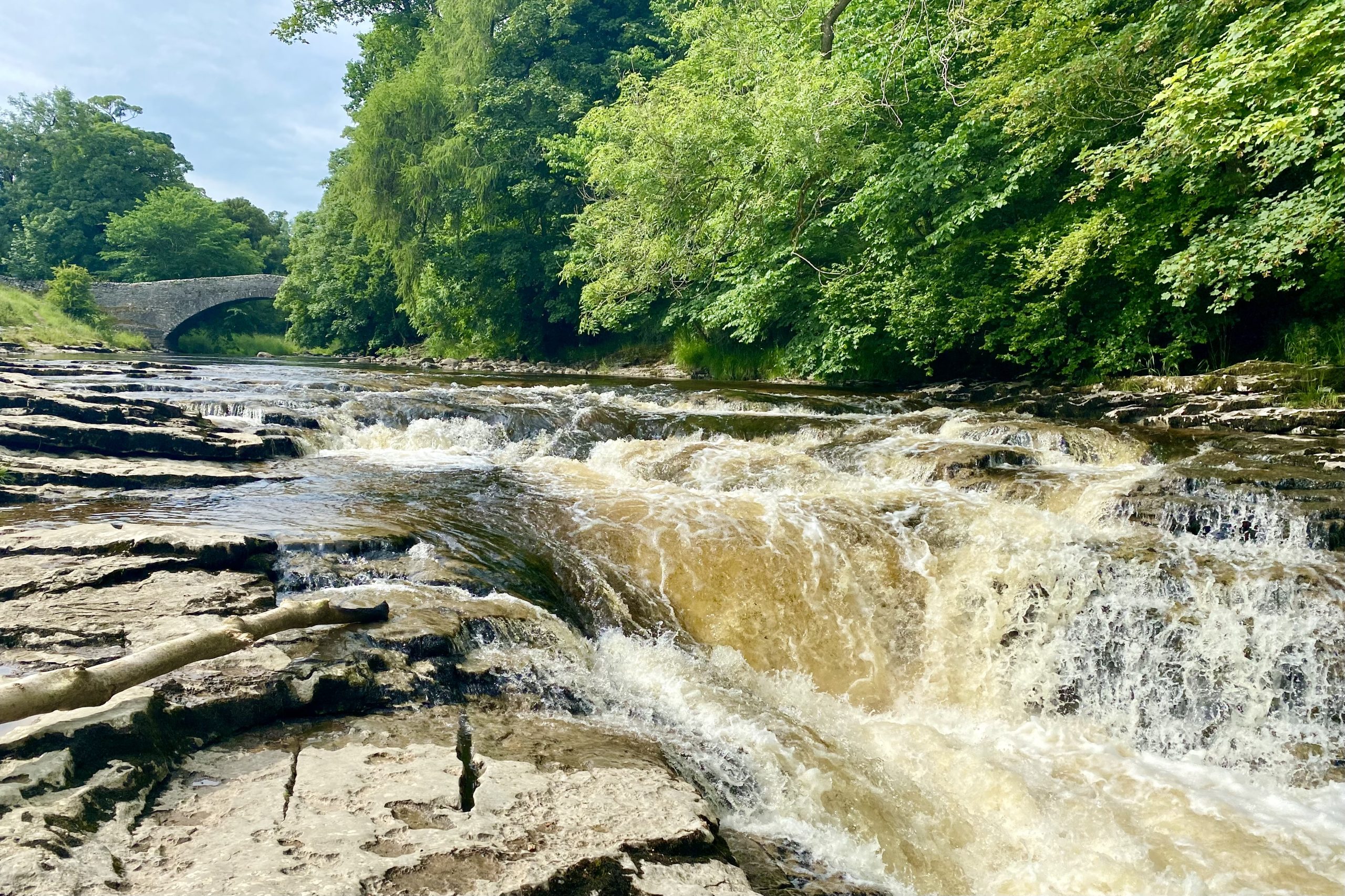
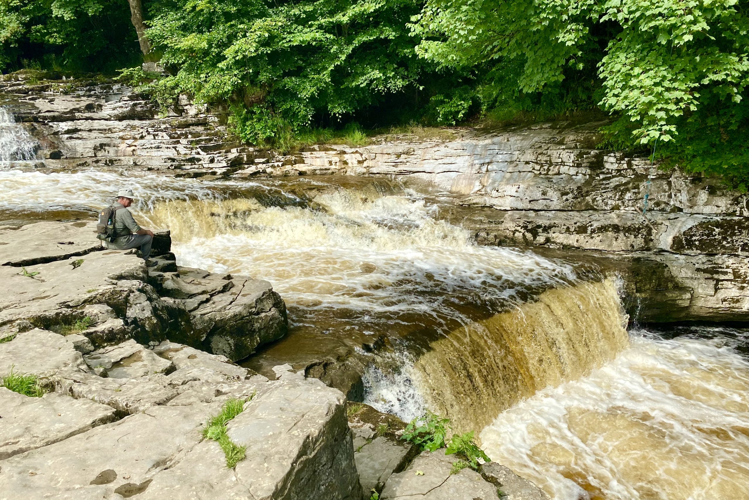
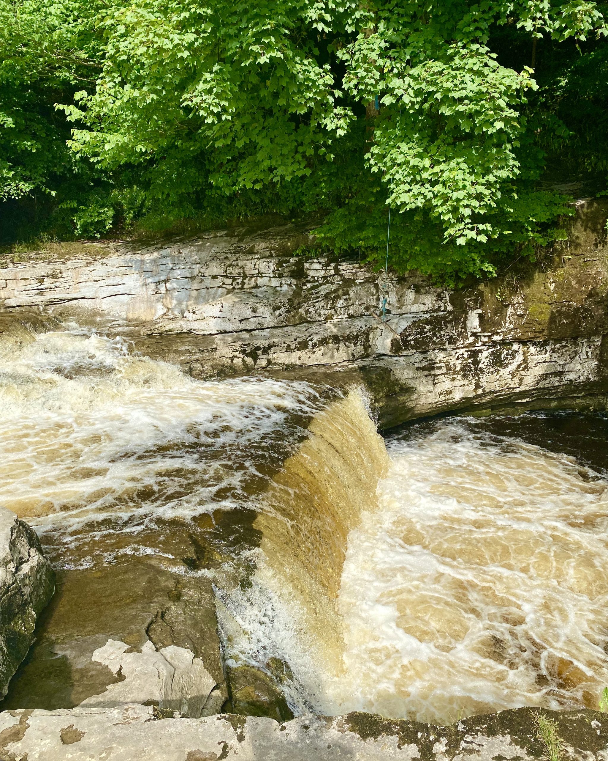
Stainforth Force, a 2½ metre high waterfall on the River Ribble. It is a cascade waterfall, where water descends a series of rock steps. The location is a popular tourist attraction, particularly in autumn when salmon are migrating up the river.

Berghaus Hillmaster II GTX Men's High Rise Hiking Boots
AD The Berghaus Hillmaster II GTX men’s hiking boots feature a waterproof, breathable GORE-TEX membrane, a memory foam tongue and collar for a personalised fit, and a Vibram sole delivering exceptional grip, stability, and shock protection for confident performance on any terrain.
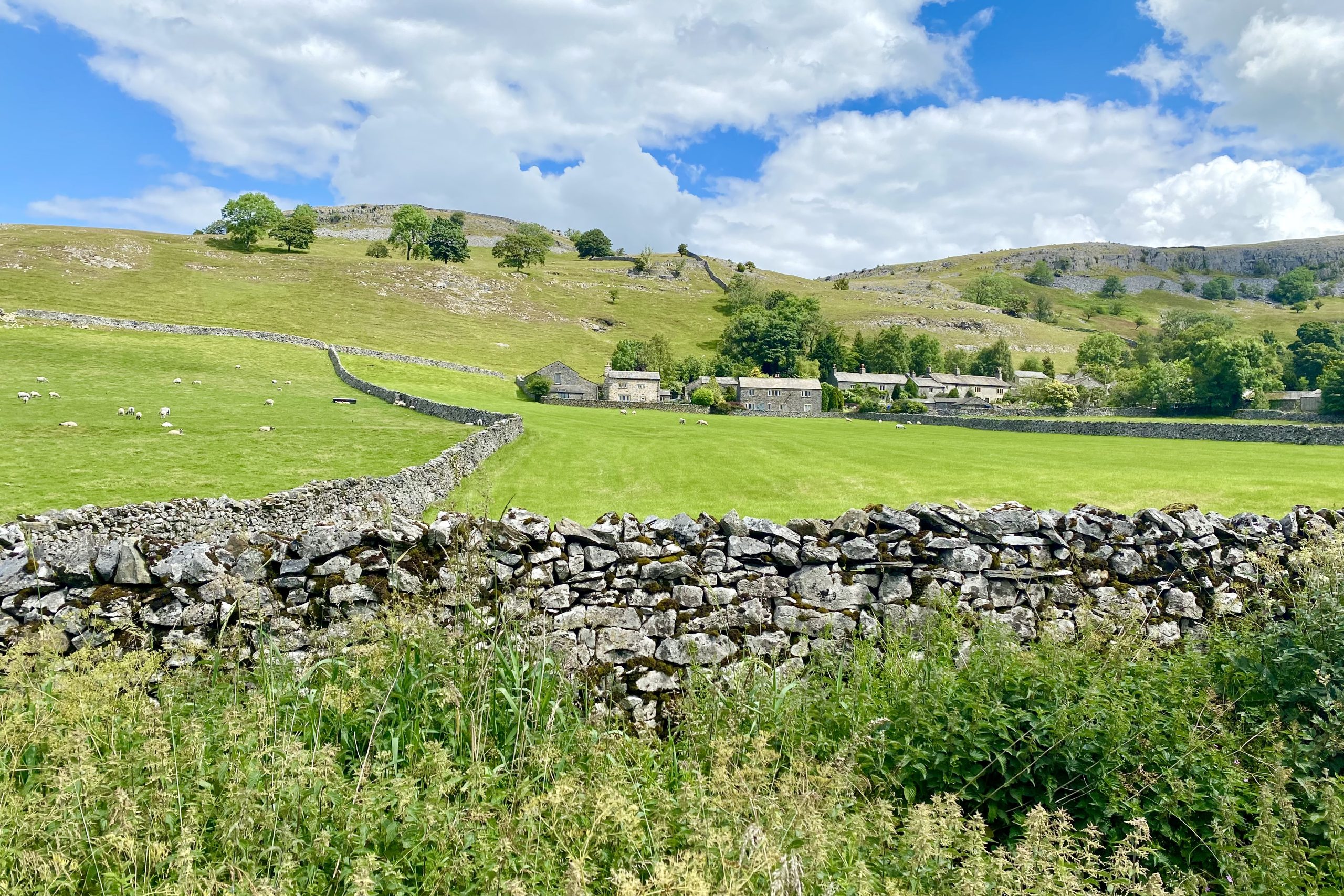
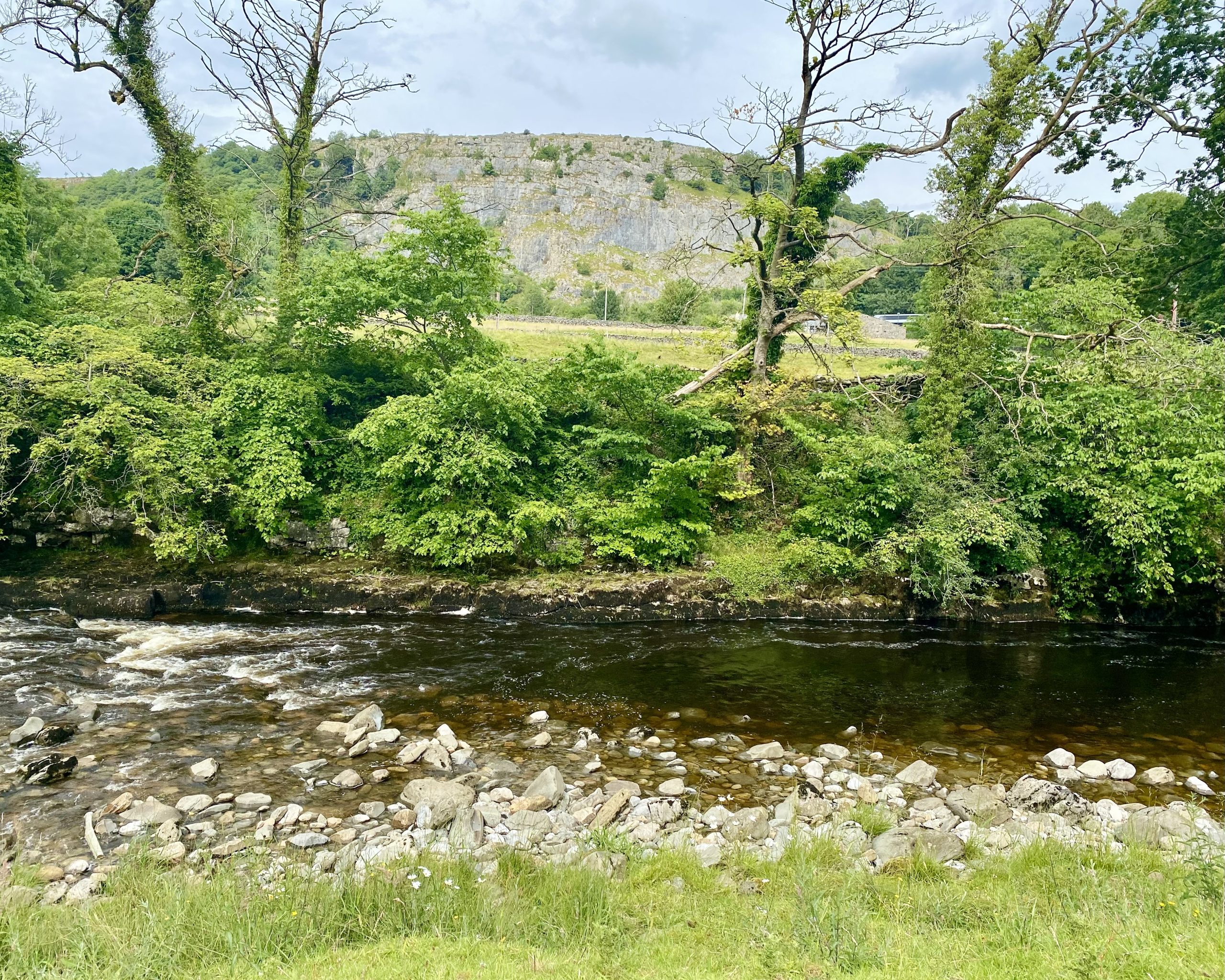
Stainforth Scar between Stainforth and Langcliffe.
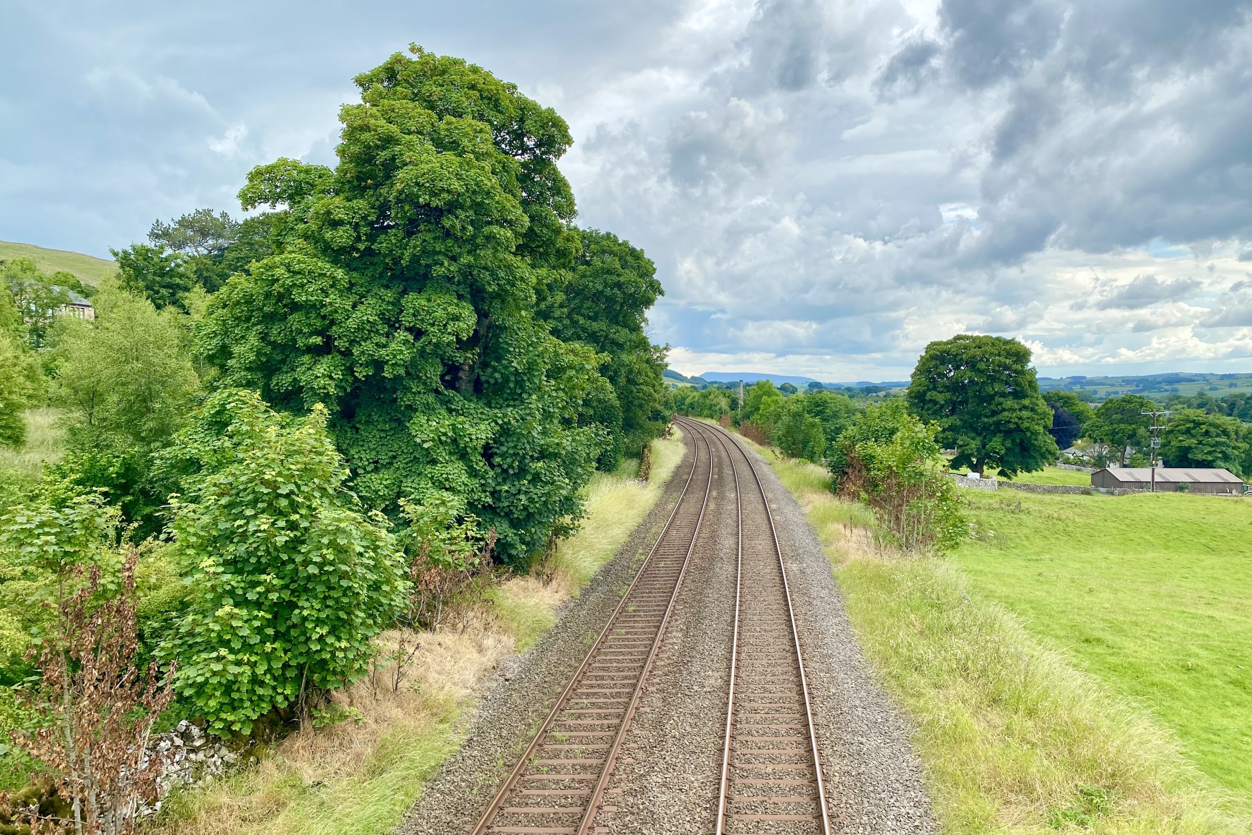
The Settle to Carlisle Railway
This 72-mile railway line was built by the Midland Railway Company and was completed for passenger travel in 1876. It took six years to build, by men who had to endure harsh conditions in a challenging landscape. According to Visit Cumbria (https://www.visitcumbria.com/carlset), the railway boasts the following features:
- 380 numbered bridges (including 14 tunnels & 21 viaducts).
- 20 stations (11 open, 9 closed).
- 12 signal boxes (10 operational, 2 preserved).
- Approximately 150 railway workers’ houses (all now in private ownership).
- Approximately 100 line-side huts (all disused and in various stages of decay).
- One aqueduct (recently restored).
- One original water tower (in Settle, recently restored as a home).

Kendal Mint Co Energy Gel with Citrus and Mint Flavour
AD Kendal Mint Co energy gels deliver 27g of fast-absorbing carbohydrates plus electrolytes and B vitamins for improved performance. Vegan, gluten free, and Informed Sport certified, these caffeine-free gels are refreshing, easy to digest, and ideal for running, cycling, and endurance.