The Beauty of the Lake District Revealed on the Loughrigg Fell Walk from Ambleside
Embark on a delightful 8-mile journey in the Lake District, beginning in Ambleside. Proceed westward across Rothay Park towards Brow Head Farm as part of your Loughrigg Fell walk. Begin your ascent uphill along Miller Brow, advancing to Black Mire, and then across the hill to reach the summit of Loughrigg Fell. Savour the captivating view from the top before preparing for your descent.
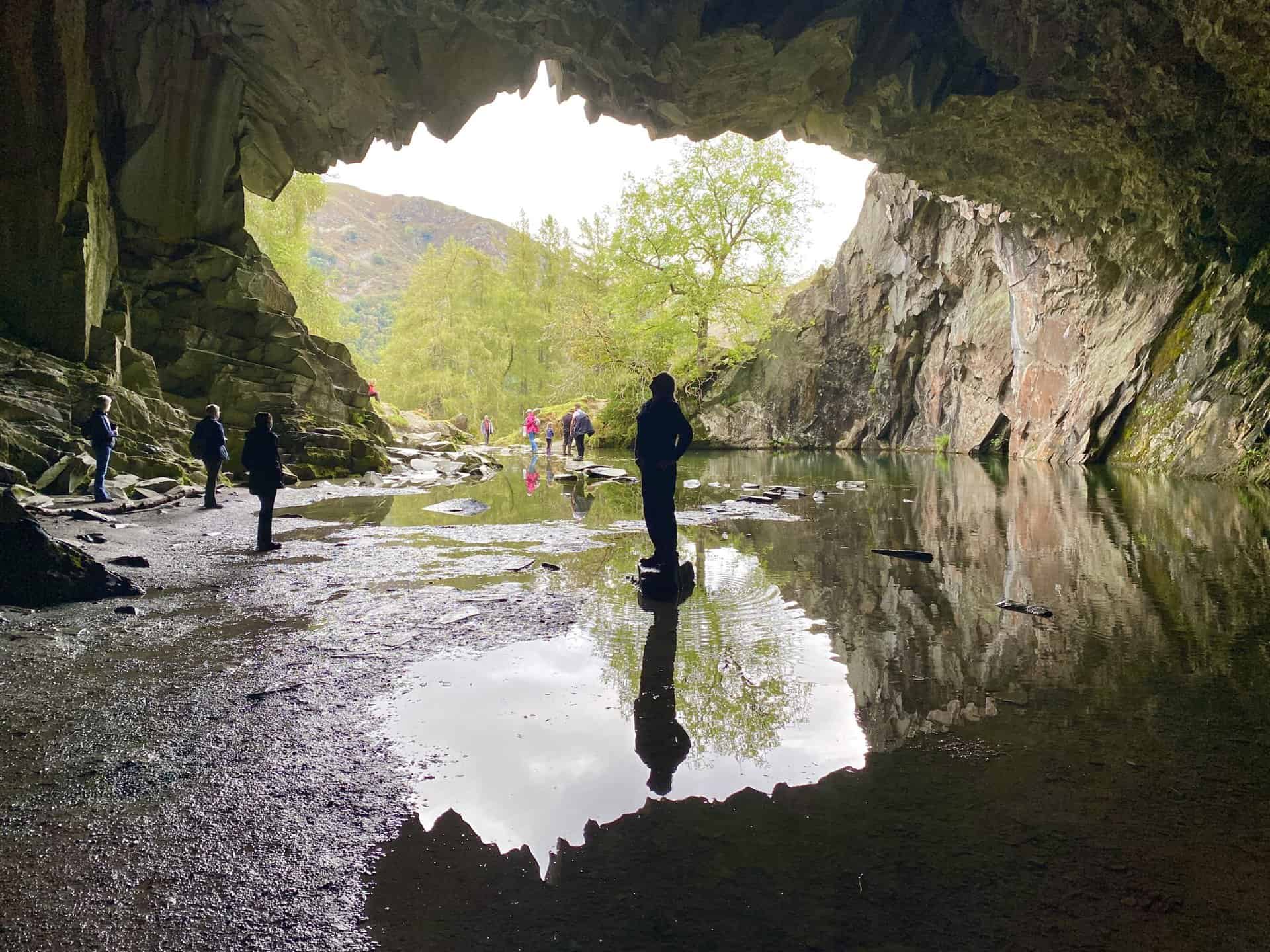
Take a generally north-east route downhill from the summit, moving towards the impressive Rydal Cave, a former slate quarry. From there, head westward along Loughrigg Terrace until you reach the minor road on Red Bank. Veer south-east, passing beneath Intake Wood, until you arrive at Loughrigg Tarn. Follow an eastbound track hugging the base of Ivy Crag, a noteworthy feature of your Loughrigg Fell walk. Finally, return east via Miller Brow to Brow Head Farm. From this point, trace your path back through Rothay Park, ending your journey in Ambleside.
Loughrigg Fell Walk: Maps and Tools
Visit either the OS Maps website or the Outdooractive website to view this walking route in greater detail. Both platforms offer a range of features, including the ability to print the route, download it to your device, and export the route as a GPX file. You can also watch a 3D fly-over and share the route on social media.
Loughrigg Fell Walk: Distance, Duration, Statistics
Distance: 7¾ miles
Distance: 12½ kilometres
Duration: 4 hours
Ascent: 1810 feet
Ascent: 552 metres
Type: Circular walk
About Loughrigg Fell
Loughrigg Fell, standing at a height of 335 metres, is located in the heart of the English Lake District. This hill is part of a long ridge that descends from High Raise over Silver How towards Ambleside, and is separated from neighbouring hills by a lowland area known as Red Bank.
Interestingly, Loughrigg Fell is encircled by an impressive amount of open water. The River Rothay, which runs through Grasmere and Rydal Water, borders the fell to the north, while the River Brathay, originating from Elter Water, forms the southern border. These two rivers converge at a place named Clappersgate before flowing into Windermere. The western boundary of the fell is defined by Red Bank, which links it to Silver How.
The fell features two subsidiary ridges on its eastern side: Lanty Scar, the prominent pathway from Rydal, and a spur over Todd Crag, which leads up from Clappersgate. Lower slopes are cloaked in woodland, transitioning into a broad area of fern-covered knolls and small ponds at the summit.
Access to Loughrigg Fell is facilitated by surrounding roads, making nearby settlements including Ambleside, Skelwith Bridge, Elterwater, Grasmere, and Rydal readily accessible. A well-known pathway, the Loughrigg Terrace, featured on this Loughrigg Fell walk, offers stunning views of Grasmere, Helm Crag and the Fairfield mountain range.
The fell is a geological marvel, featuring dacitic welded lapilli-tuff and volcaniclastic sandstone from the Lincomb Tarns Formation on its south-eastern slopes, while rhyolite intrusions and basaltic andesite sills are found near the summit.
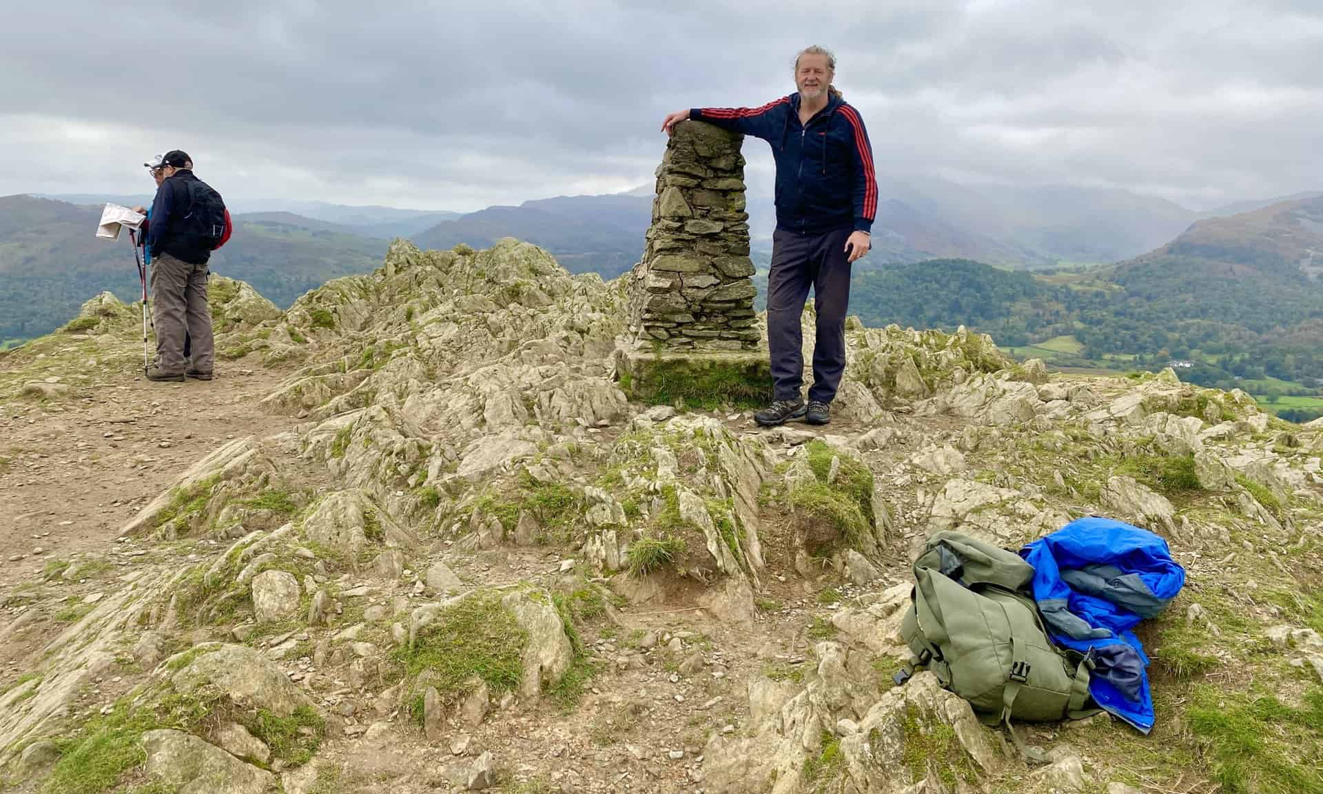
The highest point of the fell is marked by an Ordnance Survey triangulation column next to a large cairn. From here, one can take in the splendid views of the Langdale Pikes, the fells around Grasmere, and the Coniston Fells. Panoramic views of Elter Water, Grasmere, and a substantial portion of Windermere can also be enjoyed.
Recommended Ordnance Survey Map
The best map to use on this walk is the Ordnance Survey map of the Lake District South-Eastern Area, reference OS Explorer OL7, scale 1:25,000. It clearly displays footpaths, rights of way, open access land and vegetation on the ground, making it ideal for walking, running and hiking. The map can be purchased from Amazon in either a standard, paper version or a weatherproof, laminated version, as shown below.
Standard Version
Loughrigg Fell Walk: My Photos
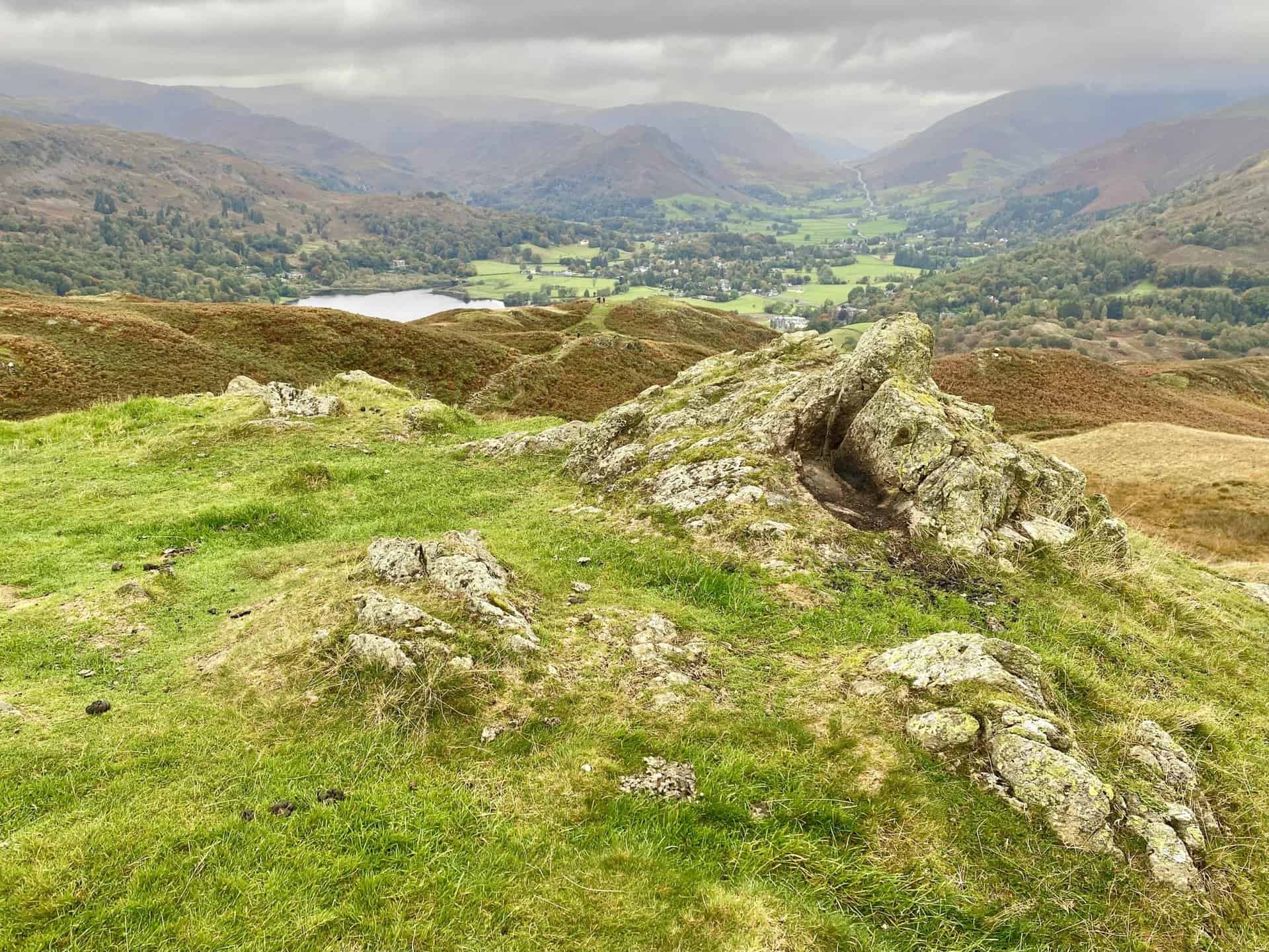
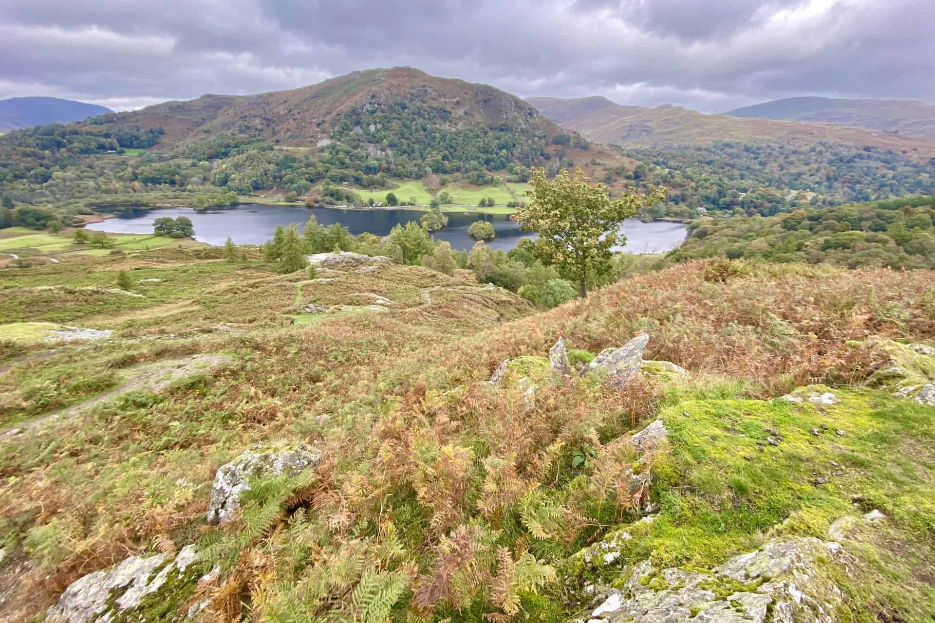
Looking down upon Loughrigg Tarn from the path between Black Mire and the Loughrigg Fell summit.
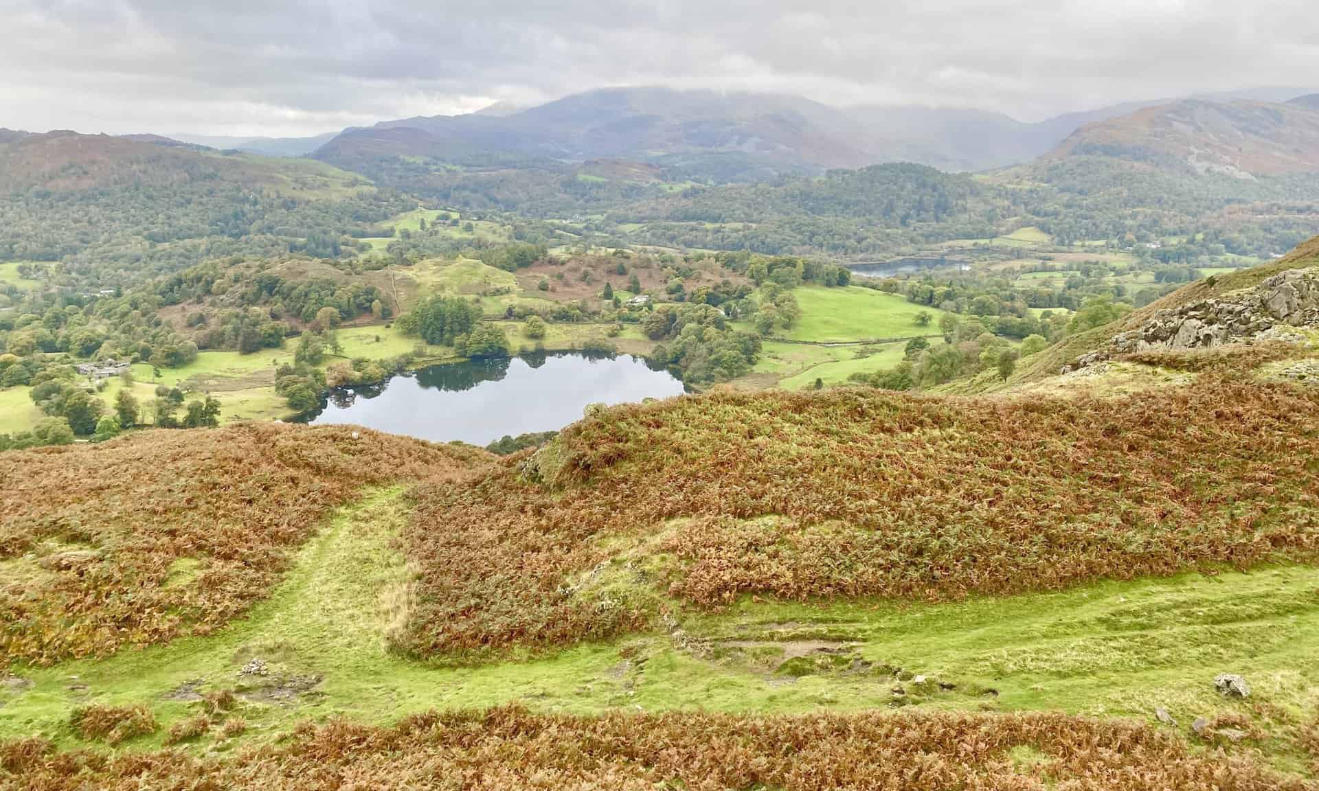
The view south-west towards Elter Water from Loughrigg Fell’s Lad Crag. Lingmoor Fell is to the right of the lake and Wetherlam is in the background.
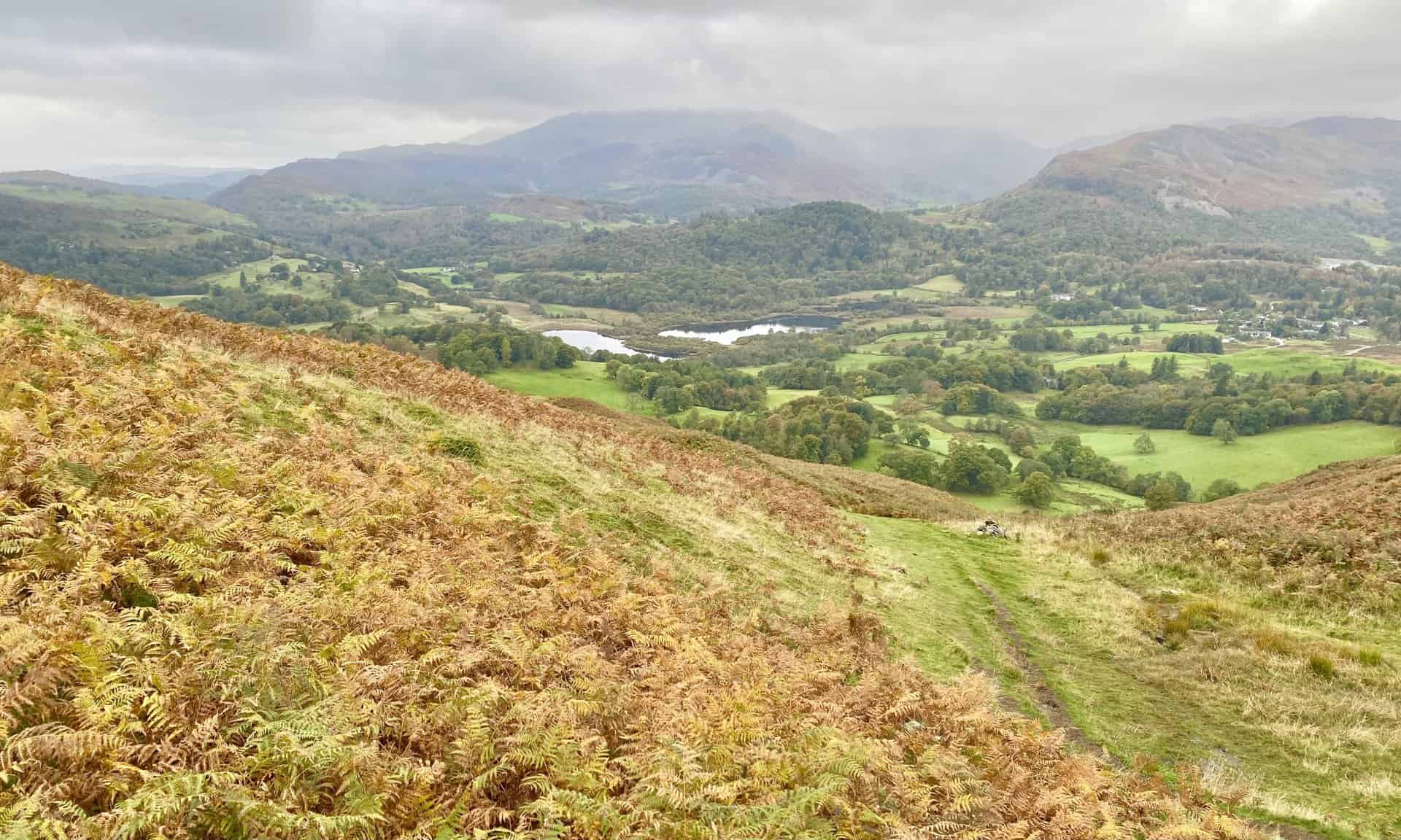
Windermere as seen from the Loughrigg Fell summit. At this point we’re about one-third of the way round our Loughrigg Fell walk.
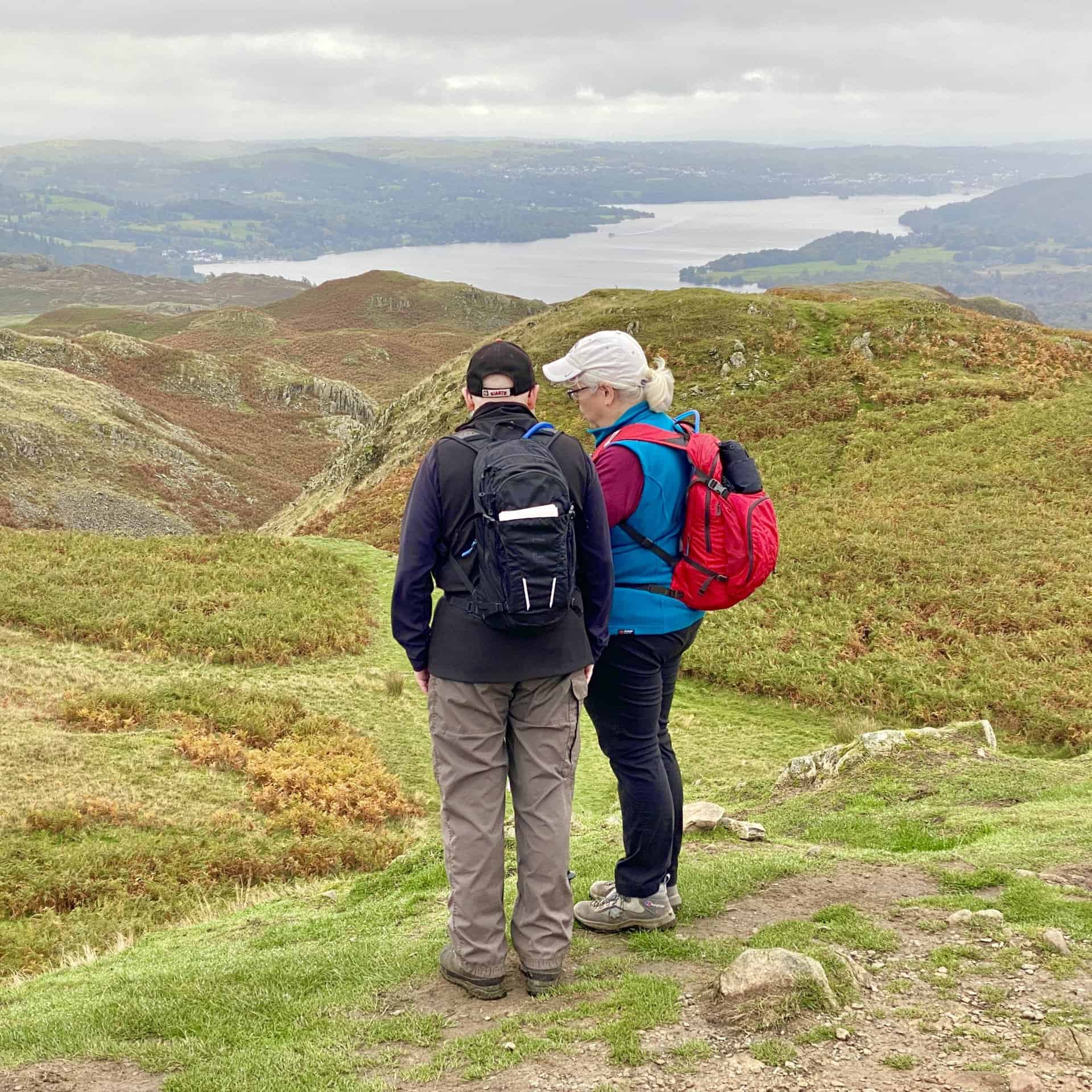
Looking over towards Elterwater (the village) and Great Langdale.
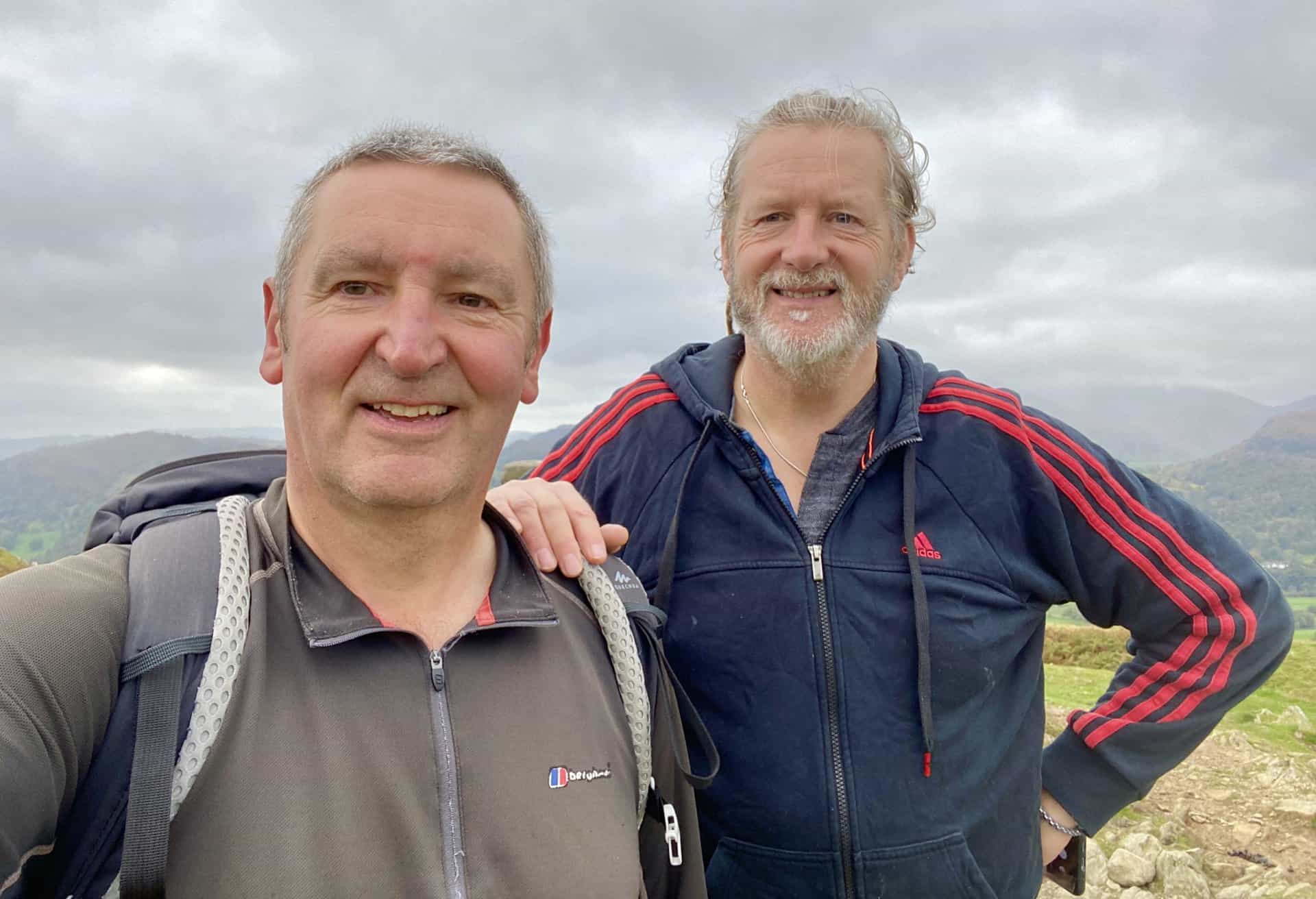
Kevin and I at the triangulation pillar on Loughrigg Fell summit, height 335 metres (1099 feet).
One of the paths off Loughrigg Fell on the east side of Ewe Crag. The lake at the bottom is Rydal Water, home to Heron Island (left) and Little Isle (right).
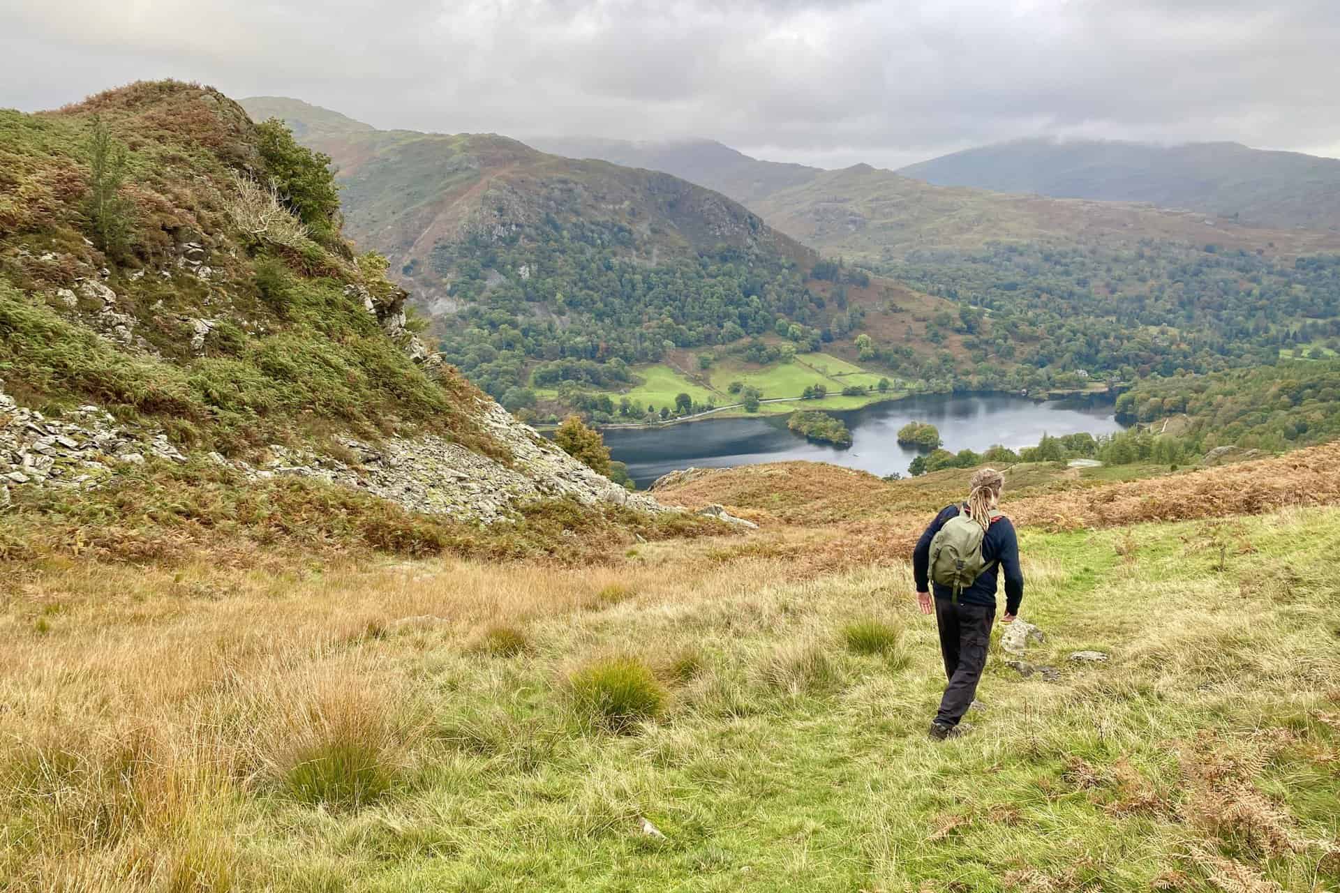
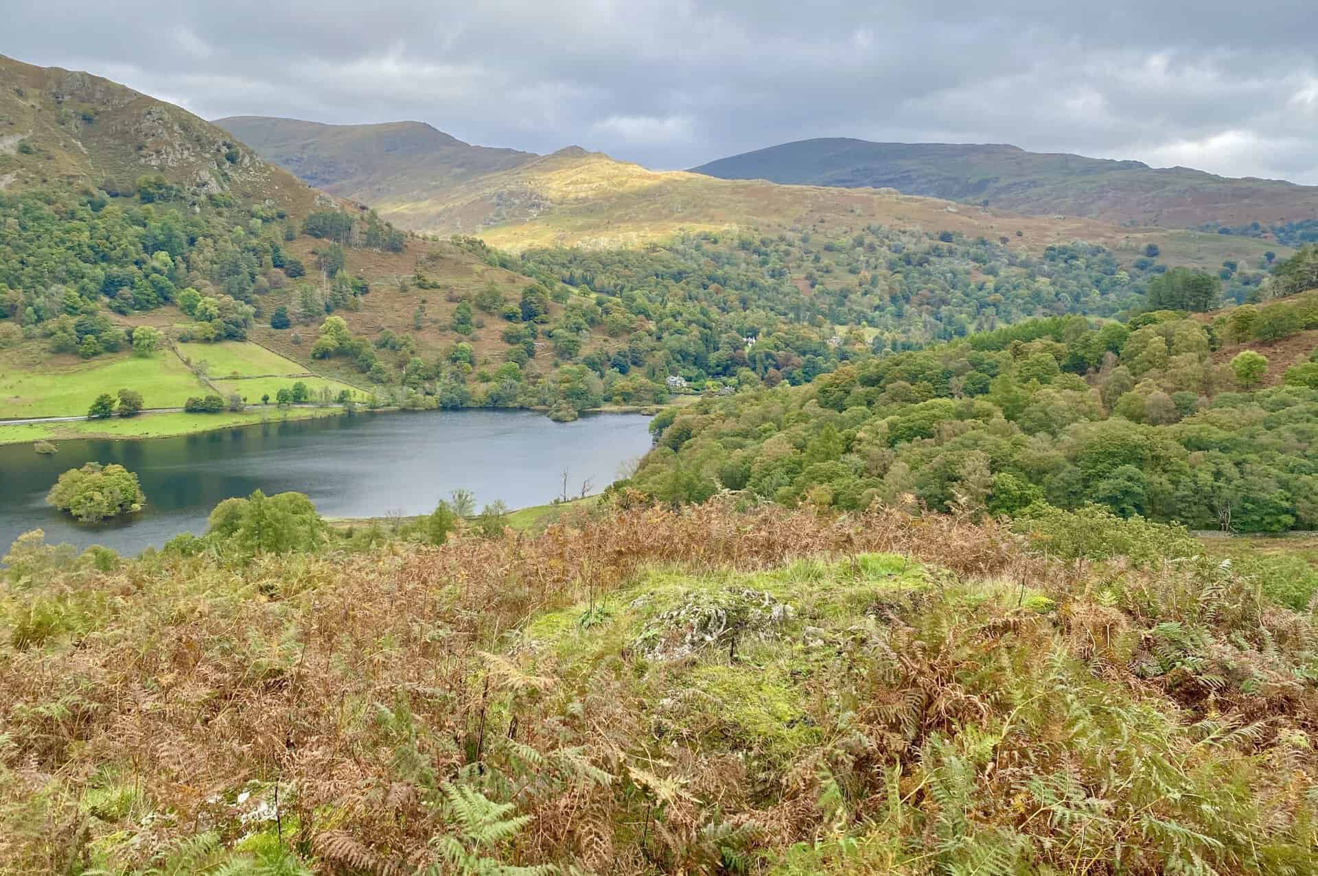
The mountain behind Rydal Water is Heron Pike, and the two high points on the ridge to the right are Low Pike and High Pike. Together they form part of the Fairfield Horseshoe loop. To the far right in the distance is Red Screes.
The sun’s rays break through the clouds and light up Low Pike.
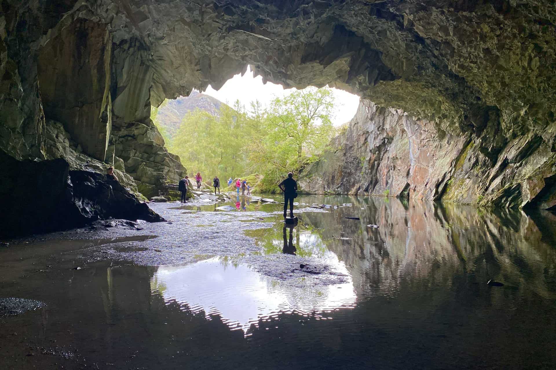
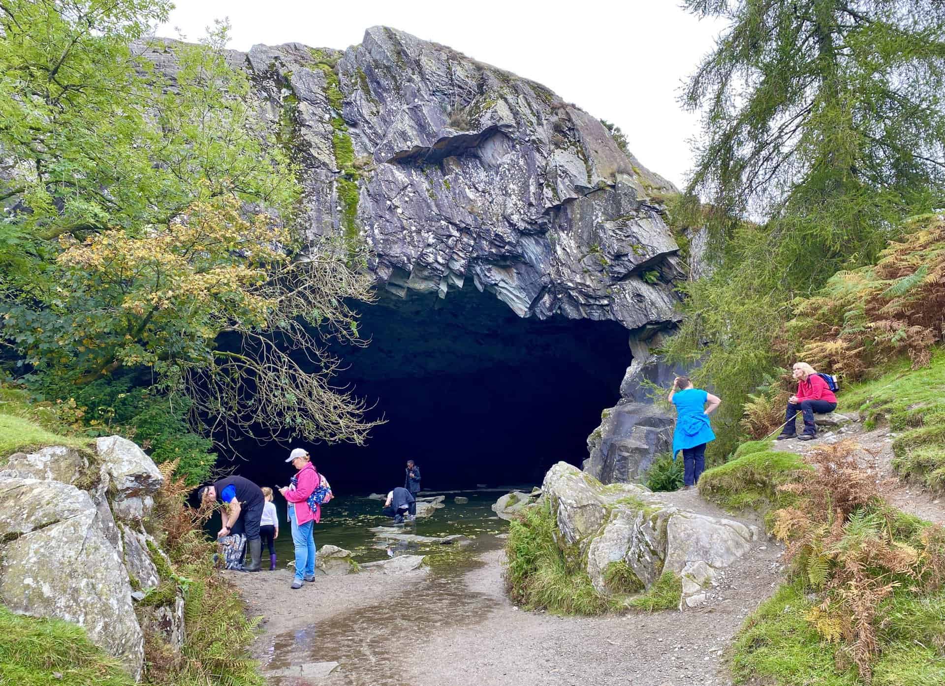
Rydal Cave
A man-made cave on the site of a former slate quarry, with stepping stones leading to a partially dry interior. One of the many highlights of this Loughrigg Fell walk.
Whilst writing about Loughrigg Fell, Alfred Wainwright commented on Rydal Cave as follows:
A detour should certainly be made to Loughrigg Quarries, the big upper cave being quite a surprise; there is shelter enough here for the whole population of Ambleside (although, admittedly, many people would be standing in water).
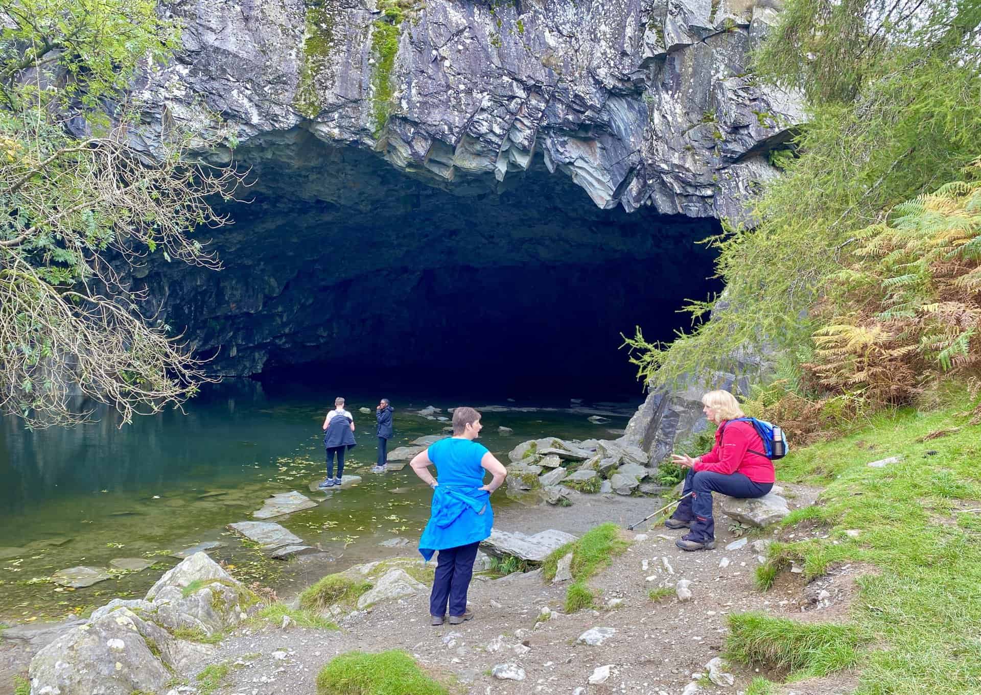
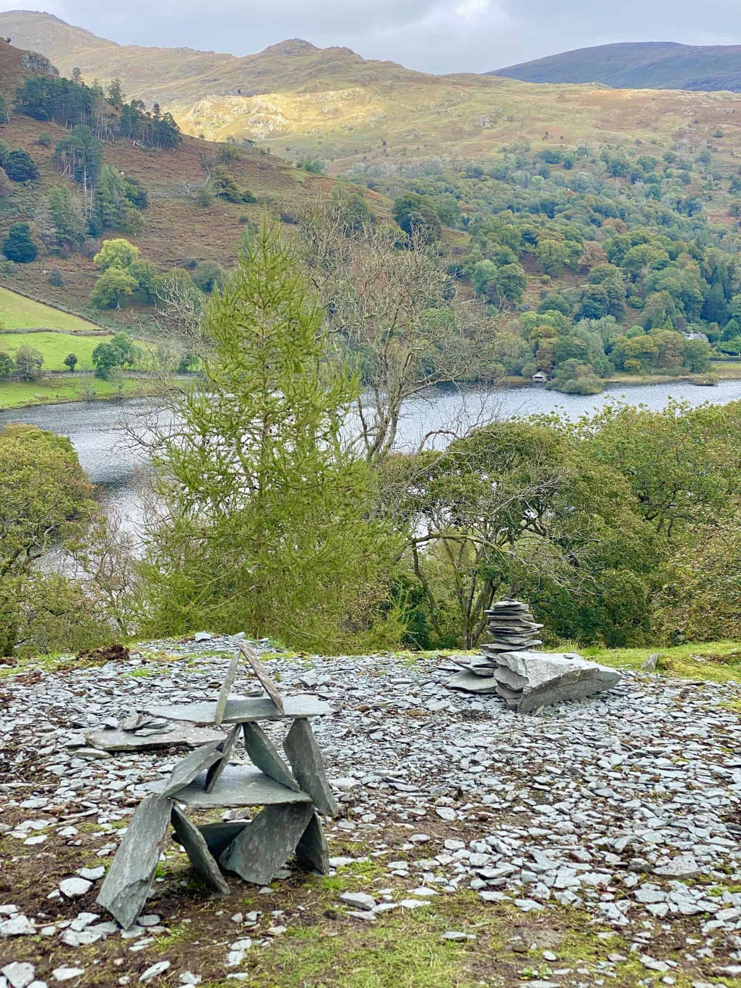
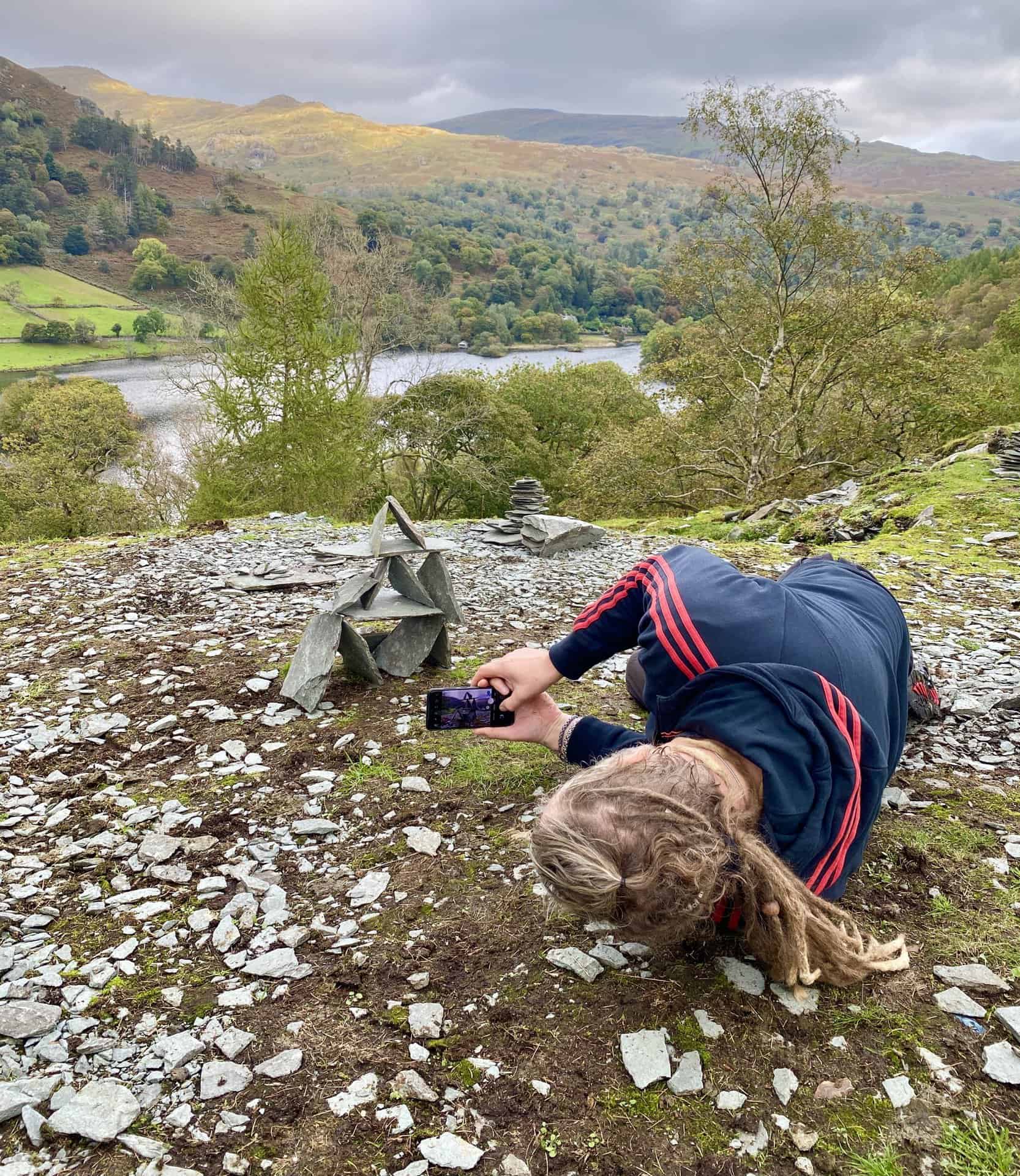
Two of several small slate statues built near the Rydal Cave entrance. Kevin gets a picture from an unusual angle.
The sun illuminates Helm Crag about 1½ miles north-west of Grasmere.
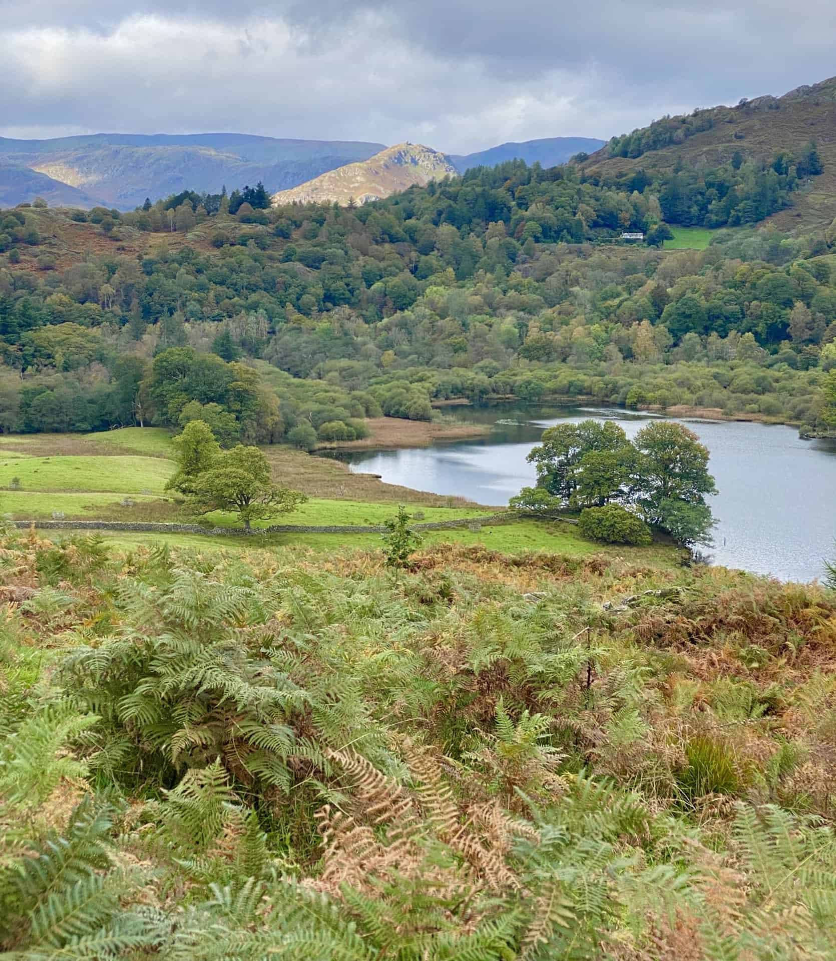
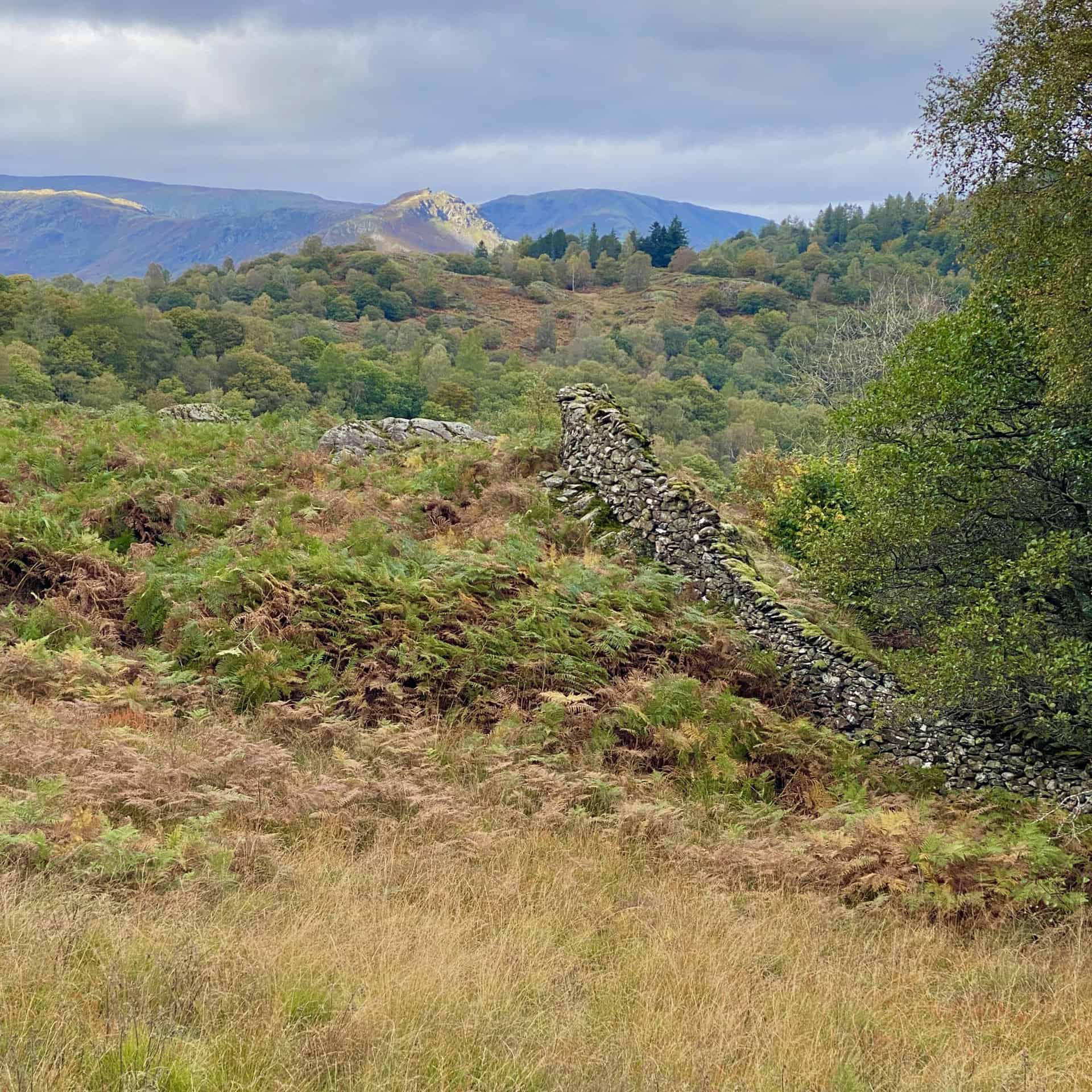
Grasmere (the lake) becomes visible as we head west from Rydal Cave towards Loughrigg Terrace.
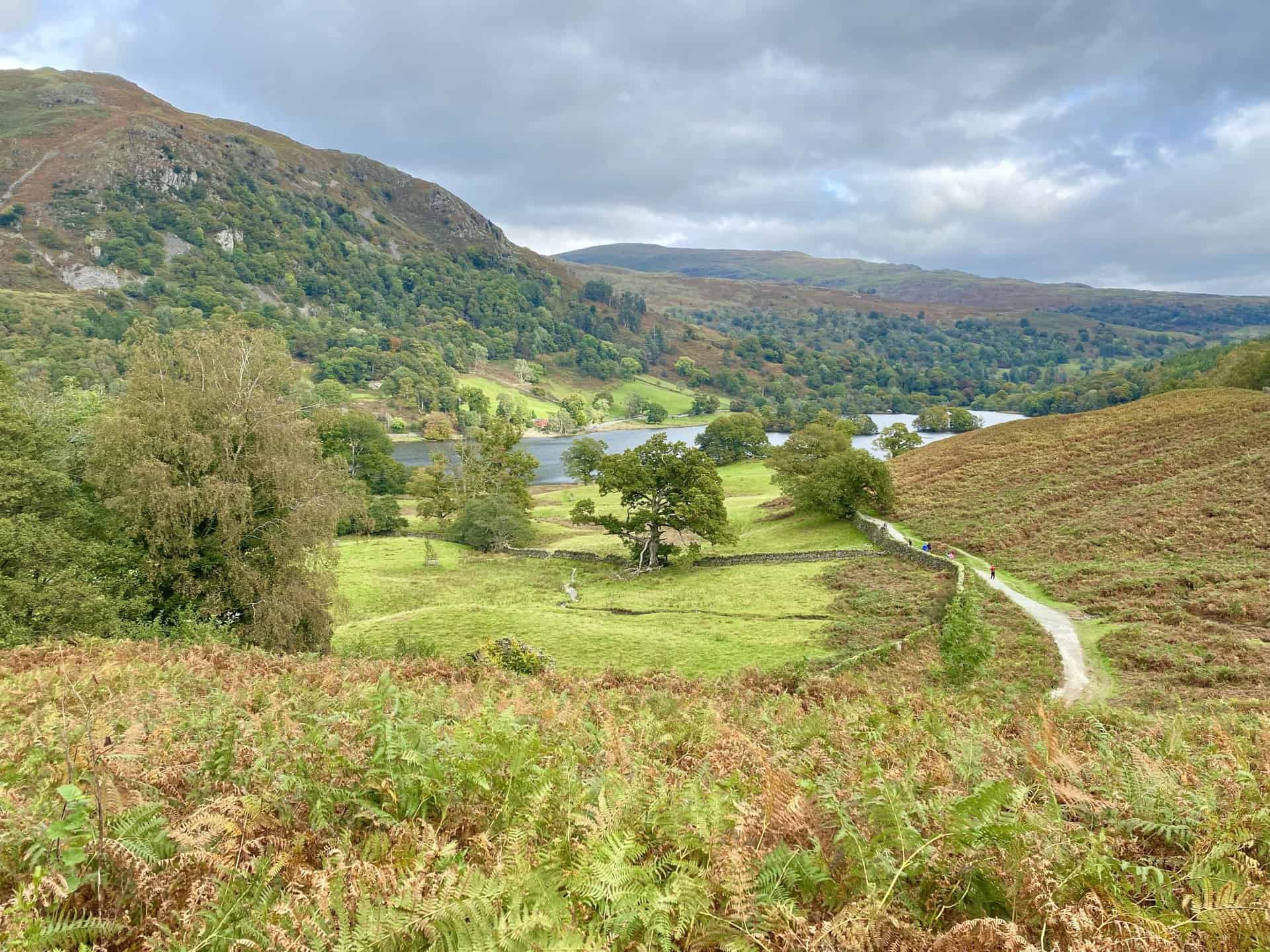
Stunning views of Grasmere and the surrounding mountains as we walk along Loughrigg Terrace, roughly the halfway point of this Loughrigg Fell walk.
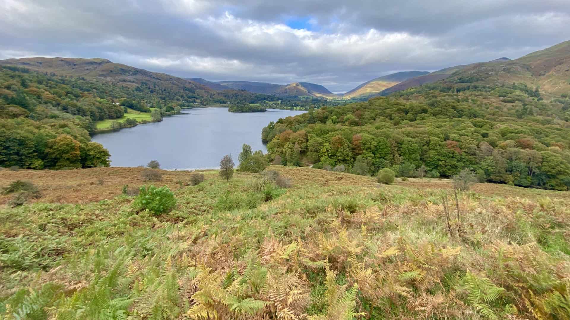
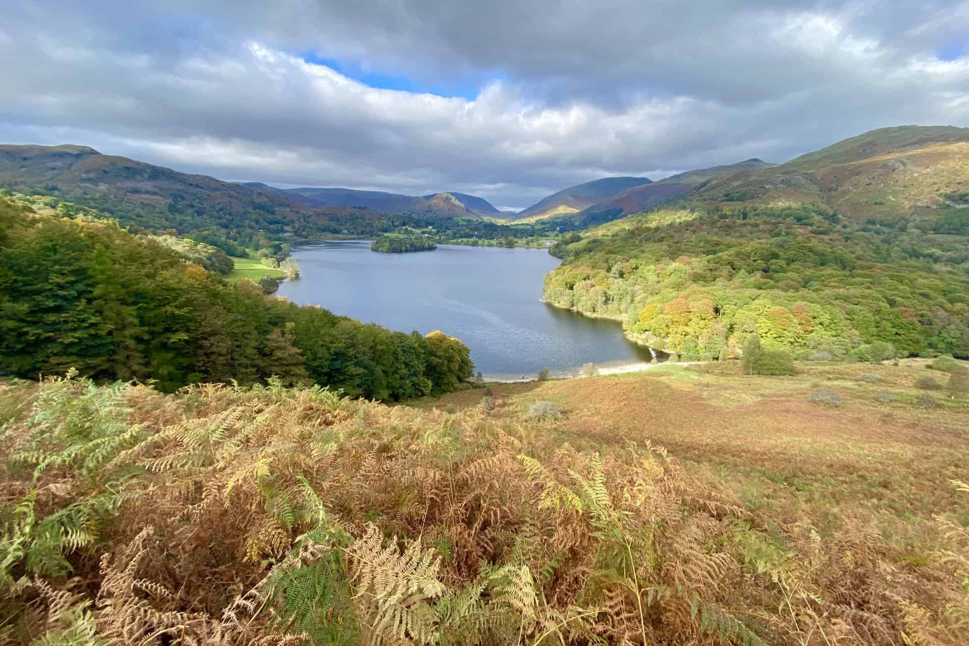
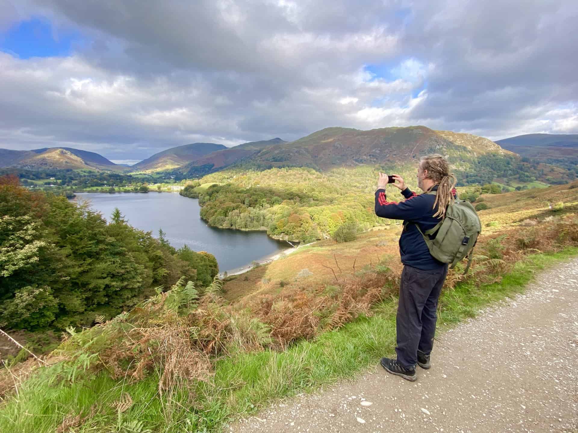
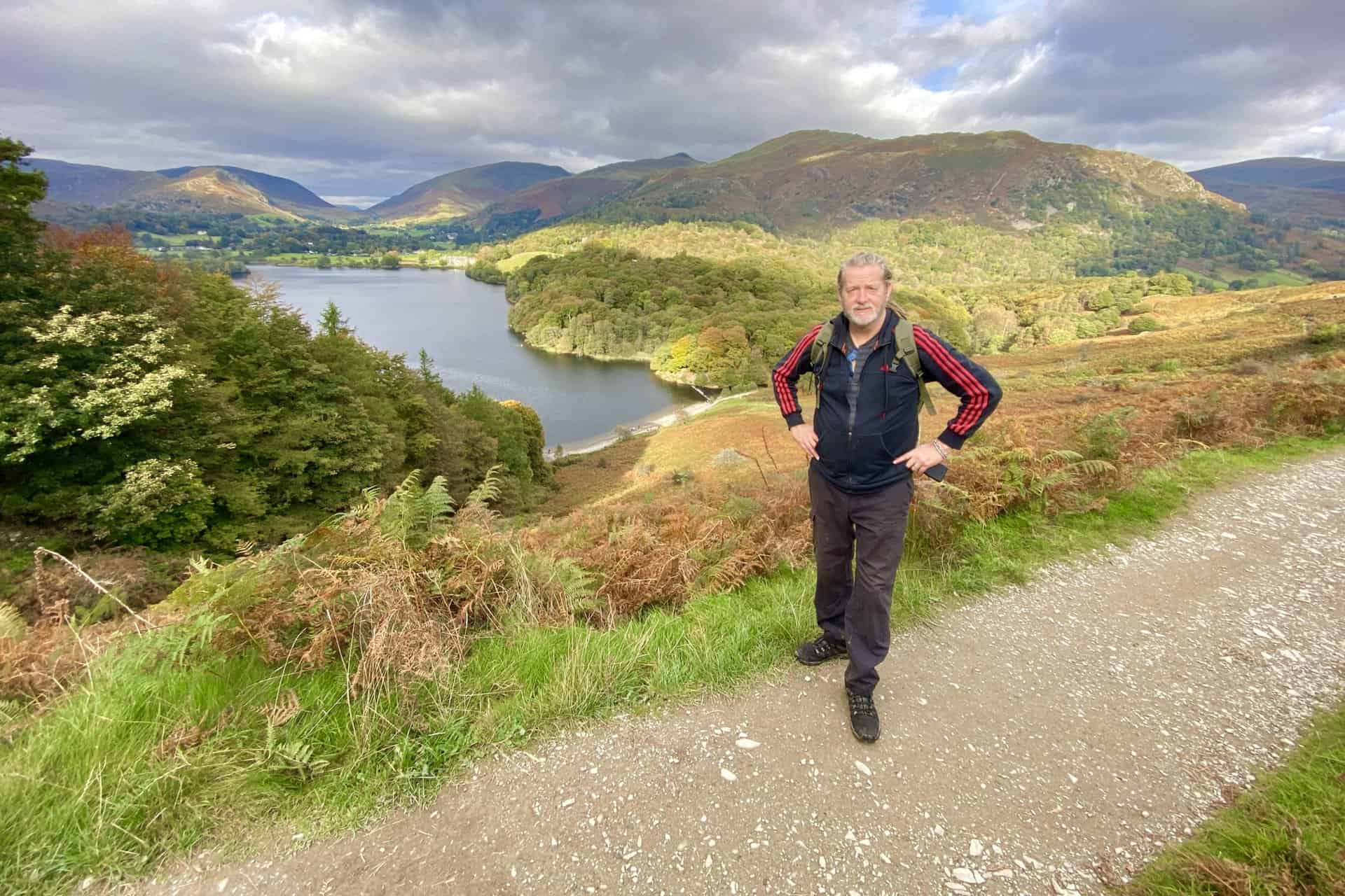
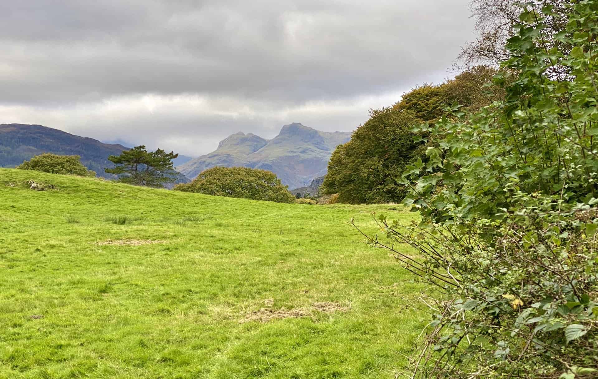
As we make our way along the road to Loughrigg Tarn, there is a view of Harrison Stickle, Thorn Crag and Loft Crag. At this point we’re about two-thirds of the way round our Loughrigg Fell walk.
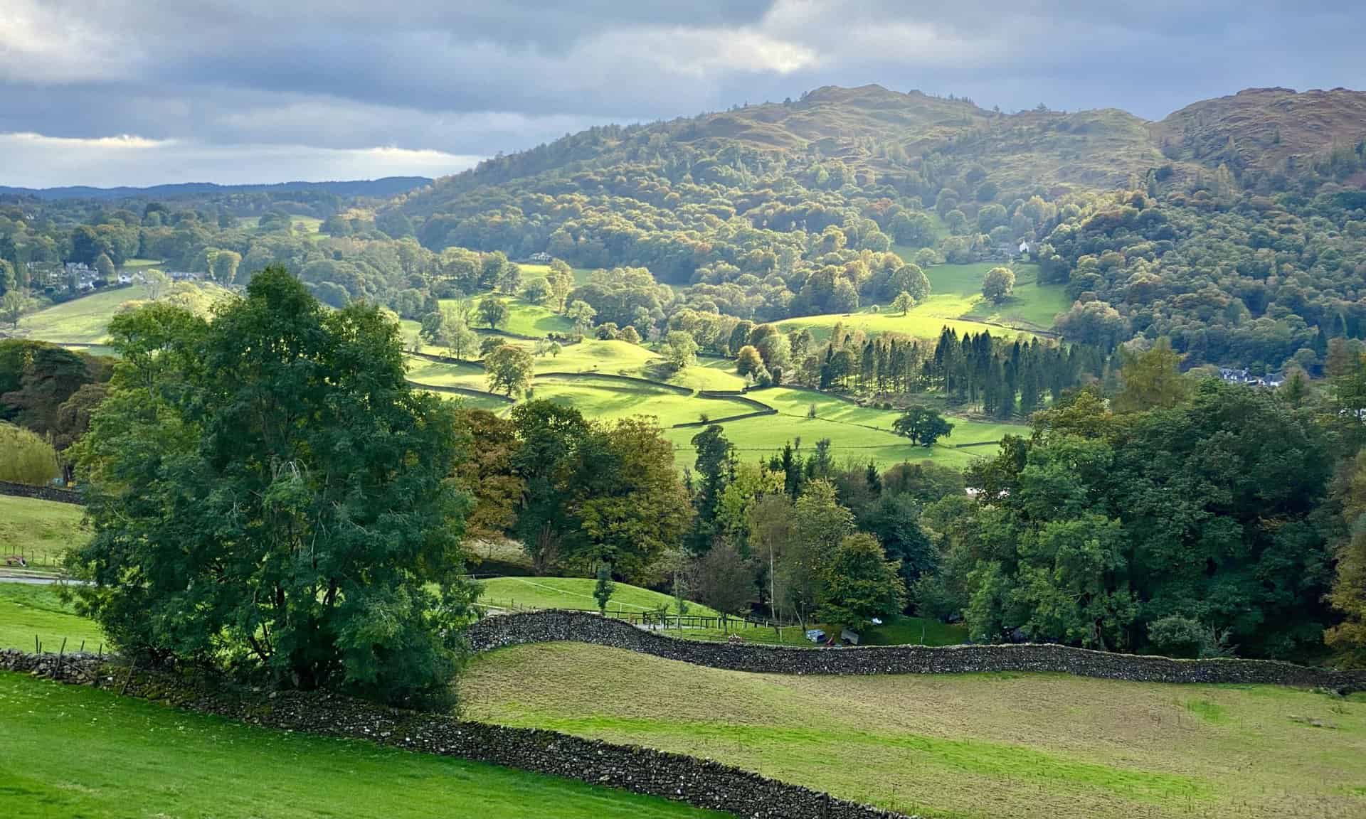
Alternating areas of farmland are bathed in sunshine as we look south from the track beneath Loughrigg Fell’s Ivy Crag.
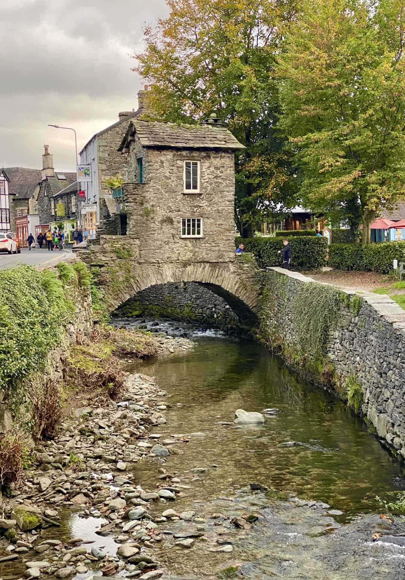
Bridge House, Ambleside
Bridge House is possibly the most photographed building in the Lake District, and a popular subject for many artists including Turner. A tiny building, originally an apple store for nearby Ambleside Hall, was built over Stock Beck to escape land tax. Once five mills were driven by the power of Stock Beck and some can still be seen nearby. It is said that at some time a family with six children lived here in the two rooms.
In 1926 it was purchased by a group of local people who passed it into the care of the National Trust, which 20 years later they turned into their first information and recruitment centre.
Information from https://www.visitcumbria.com/amb/bridge-house
Amazon’s Top Walking Boots: Four Standout Choices for Men and Women
For walking and hiking, the right boots are essential for both comfort and safety. While Amazon boasts a wide range, certain boots emerge as top-sellers. From those, here are four I personally favour. As an Amazon affiliate, I may earn a small commission from any purchases made through the links provided. This helps support the upkeep of this website. Rest assured, you won’t pay a penny extra, but your purchase will contribute to keeping my site running smoothly. Happy walking!

Berghaus Men’s Hillmaster II Gore-Tex Walking Boots
These fully waterproof leather walking boots feature a Gore-Tex lining, ensuring no water enters whilst allowing feet to breathe and stay cool. Made from full-grain leather, they promise unmatched durability and comfort. The boots come with memory foam tongues and cuffs that mould to your feet for a tailored fit, and the Vibram Hillmaster outsoles offer confidence on challenging terrains.

Salewa Men’s Mountain Trainer Mid Gore-Tex Walking Boots
Made from durable suede and abrasion-resistant textile, these men’s hiking boots are both lightweight and sturdy. The upper material is enhanced by a 360° full rubber sheath. Their dual-layer midsole with Bilight technology ensures ergonomic cushioning and grip, especially on extended hikes. The Vibram Wrapping Thread Combi outsoles allow a natural walking feel, and the Gore-Tex lining provides waterproofing, breathability, and optimal weather protection. Furthermore, the patented Salewa 3F system ensures flexibility, a secure heel grip, and a blister-free fit.

Berghaus Women’s Supalite II Gore-Tex Walking Boots
Specially designed for women, these hiking boots offer waterproofing and breathability, thanks to their Gore-Tex lining. Crafted from full-grain abrasion-resistant leather, they’re durable enough for the toughest hikes. The Supalite soles ensure stability and traction, and the EVA midsoles add comfort for extended walks.

Merrell Women’s Moab 3 Mid Gore-Tex Walking Boots
These hiking boots incorporate a Gore-Tex waterproof membrane, blending breathability with superior waterproof performance. The combination of pigskin leather and mesh on the uppers, along with the suede outer material, ensure durability and style. Enhancements include 100% recycled laces, webbing, and mesh lining. Additionally, bellows tongues, protective toe caps, and Vibram TC5+ rubber soles ensure protection and ease on any terrain.