North from Ingleton through Swilla Glen by way of the Ingleton Waterfalls Trail. After Thornton Force, it’s uphill at Twisleton Scar End, followed by a four-mile north-easterly trek to Whernside. South to Bruntscar, then south-west along the Dales High Way and A Pennine Journey to Twisleton Hall and Beezleys. Finally back to Ingleton via the return leg of the Ingleton Waterfalls Trail. A 15-mile walk in the Yorkshire Dales.
Recommended Ordnance Survey Map
The best map to use on this walk is the Ordnance Survey map of the Yorkshire Dales Southern & Western Area, reference OS Explorer OL2, scale 1:25,000. It clearly displays footpaths, rights of way, open access land and vegetation on the ground, making it ideal for walking, running and hiking. The map can be purchased from Amazon in either a standard, paper version or a weatherproof, laminated version, as shown below.
Standard Version
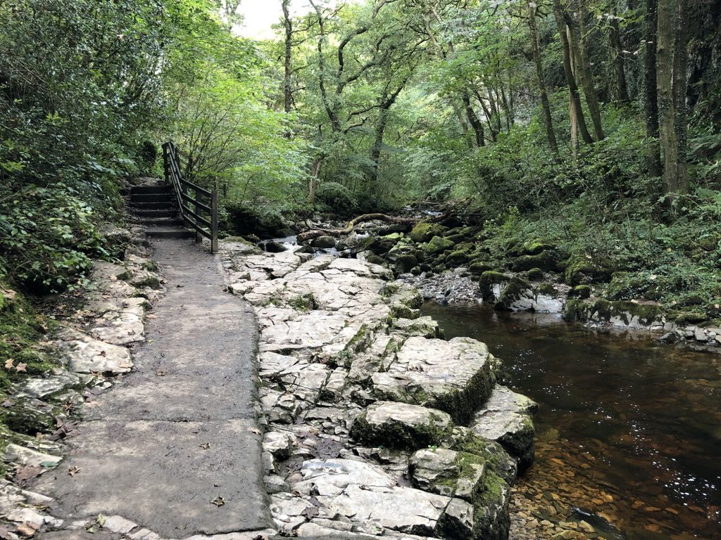
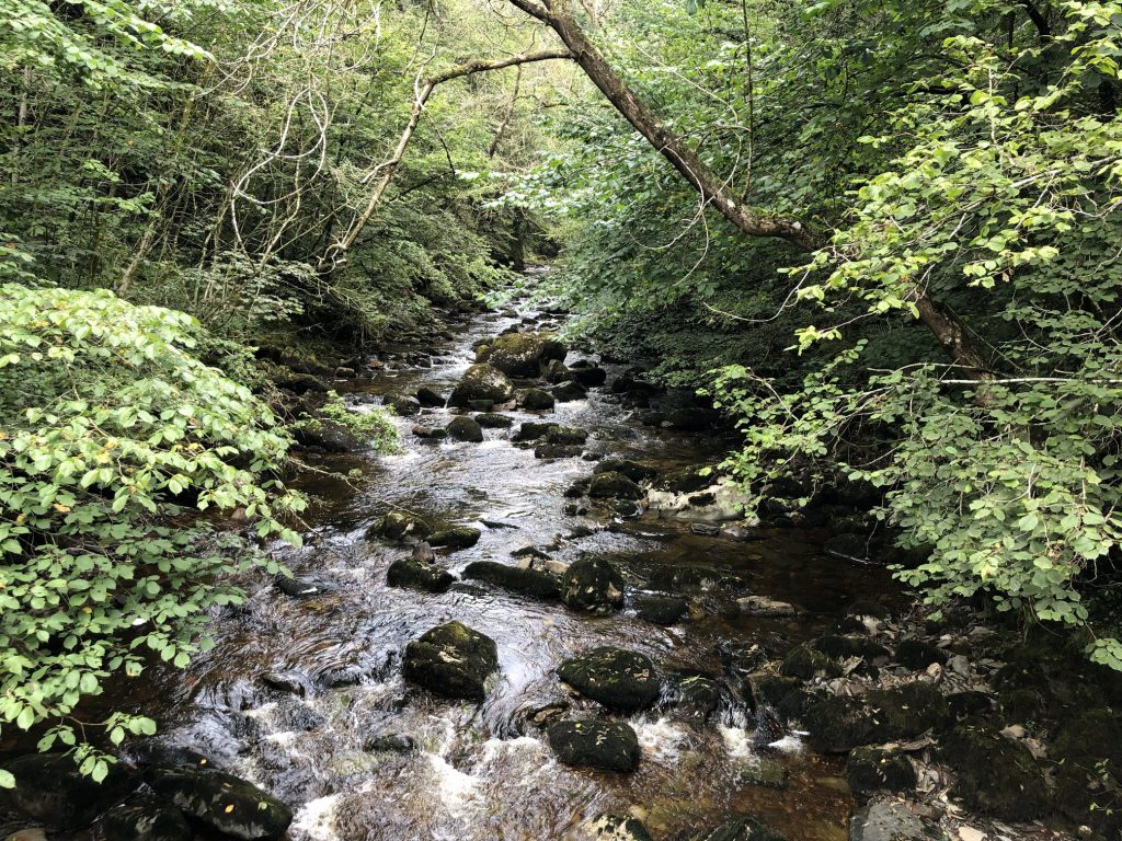
The start of the Ingleton Waterfalls Trail. Heading north through Swilla Glen alongside the River Twiss.
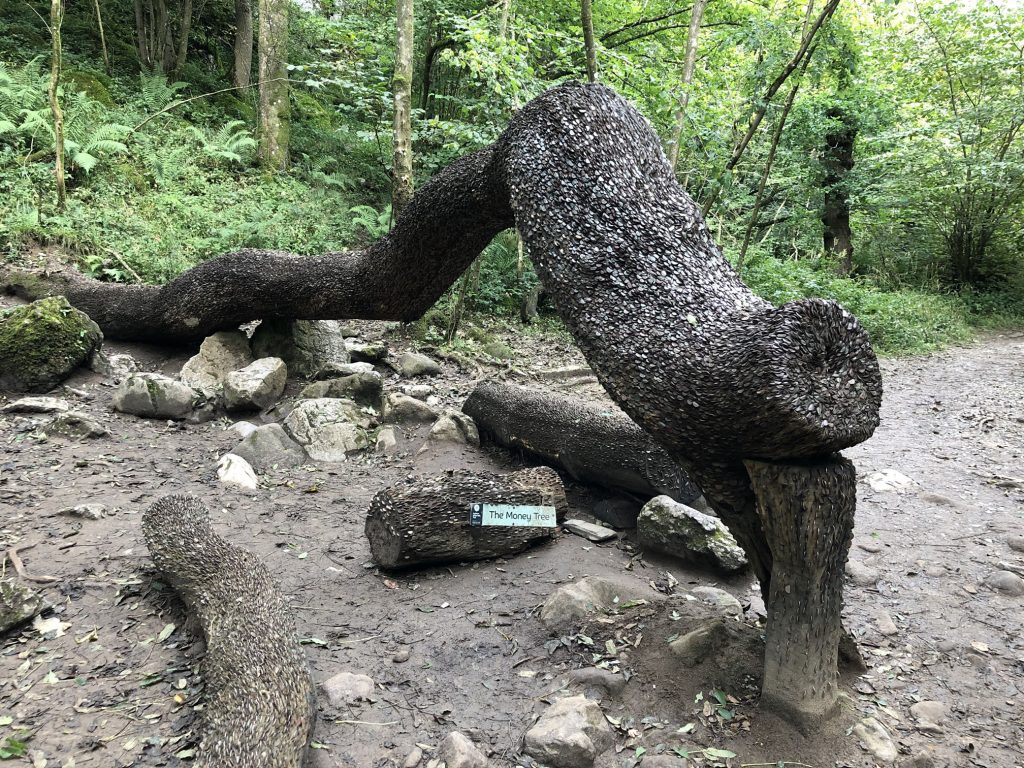
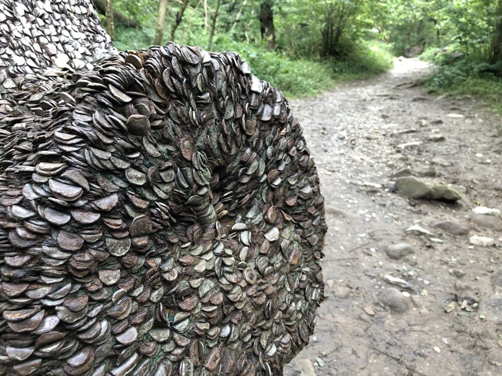
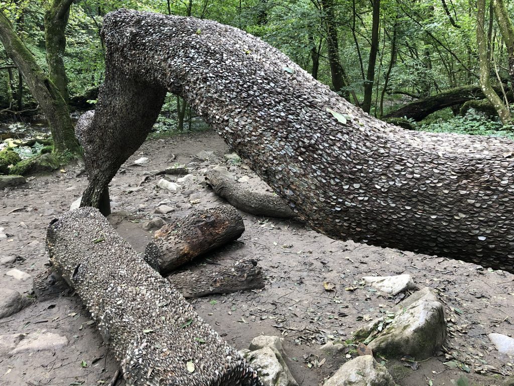
The Ingleton Waterfalls Trail money tree.
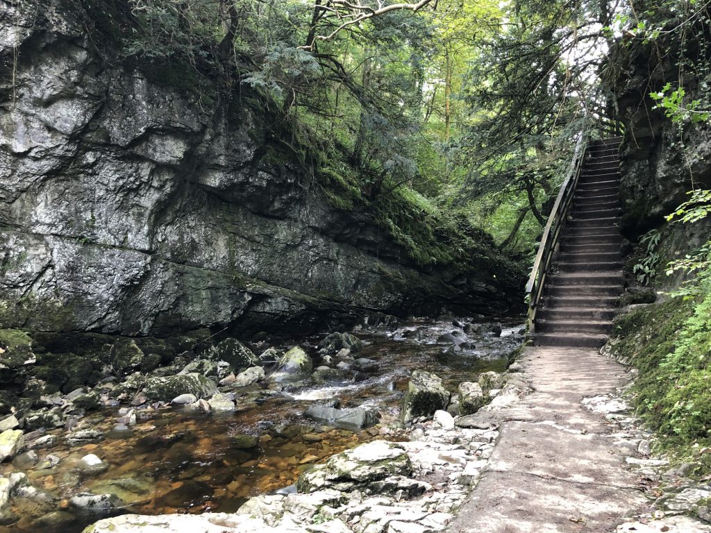
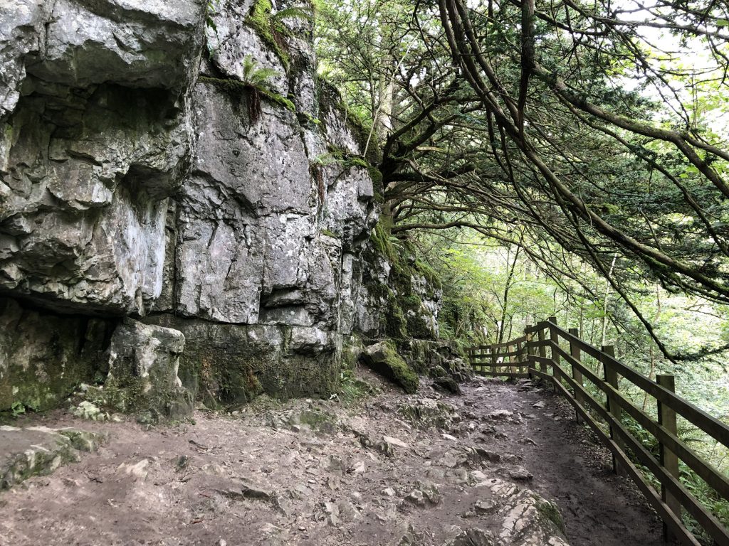
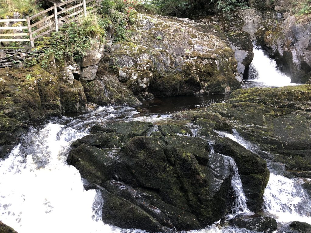
The paths are fairly good throughout the trail, although there are plenty of ups and downs.
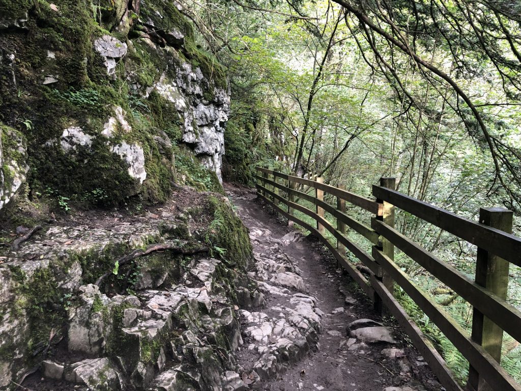
The River Twiss near Helks Mount, just below Constitution Hill.
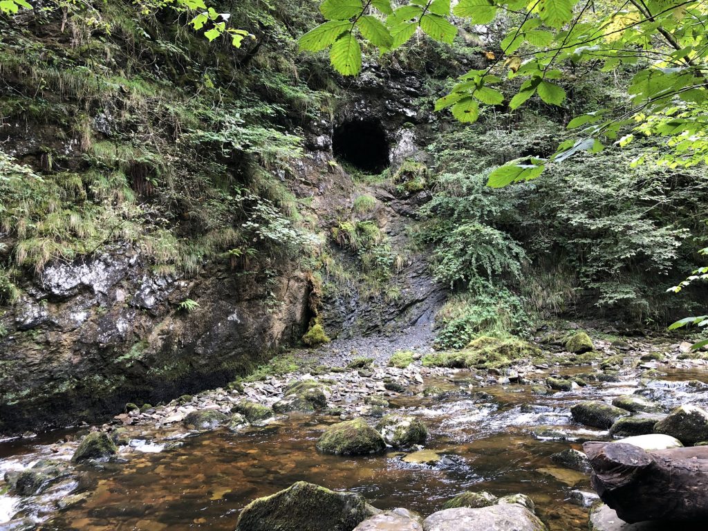
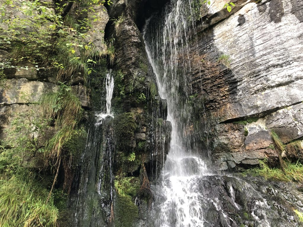
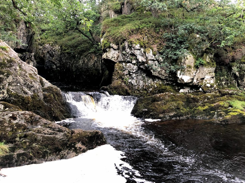
Cave entrance below Constitution Hill.
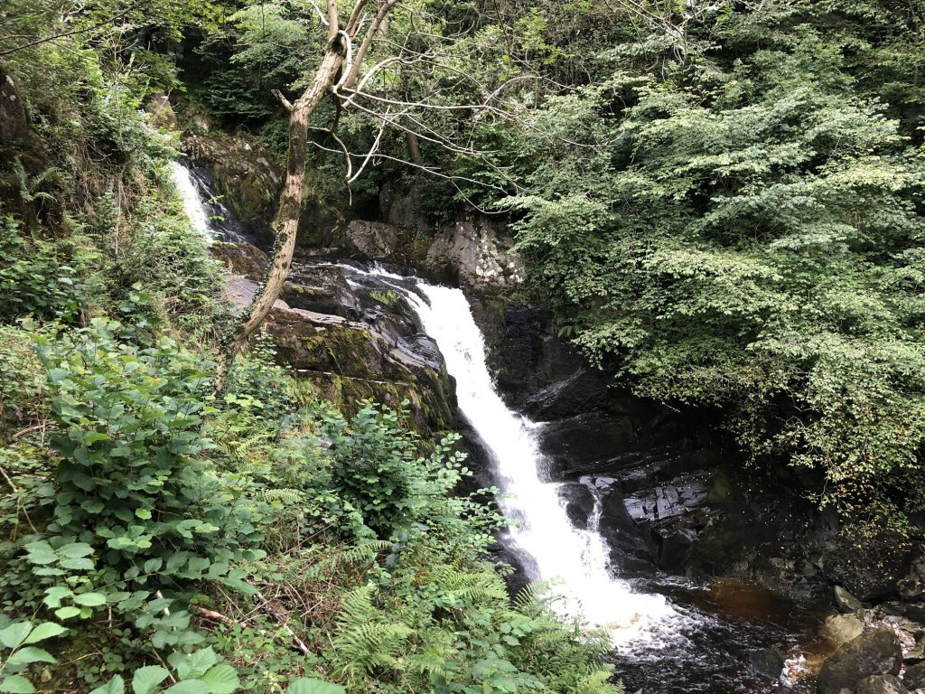
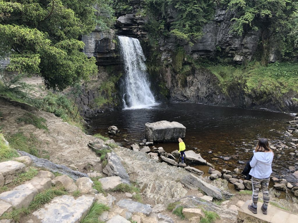
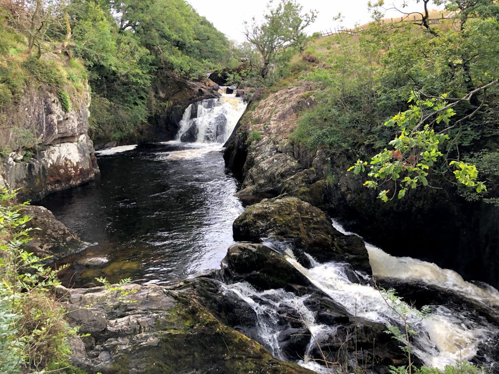
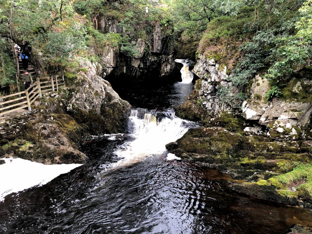
The first sighting of Pecca Falls.

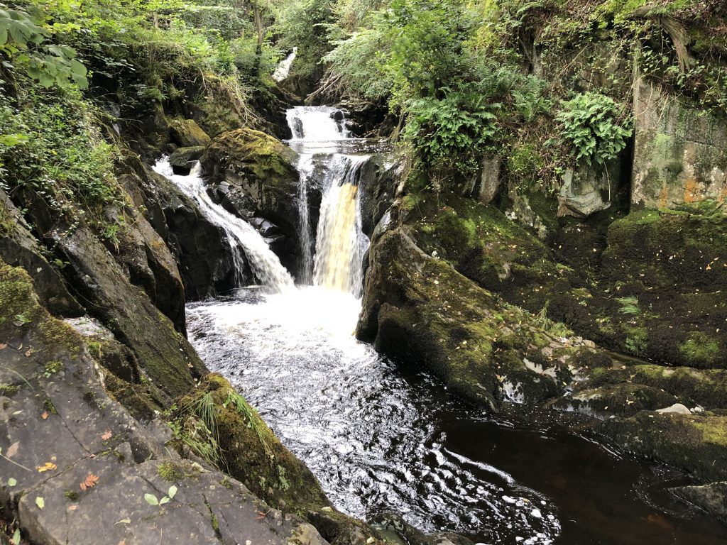
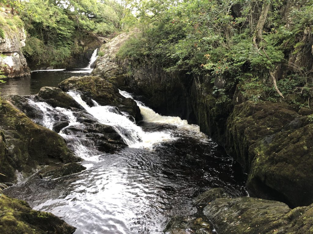
Pecca Falls, a set of five waterfalls on the Ingleton Waterfalls Trail. The falls are created by the River Twiss which drops a total of 30 metres in this section of the Swilla Glen valley.

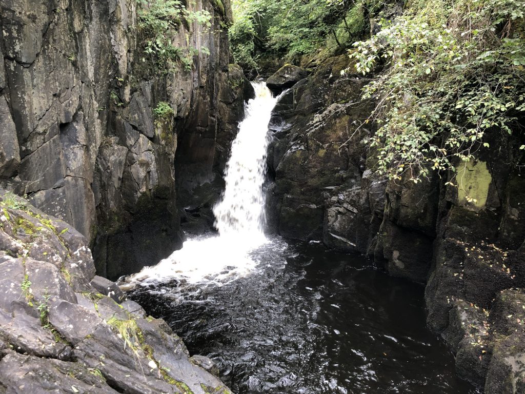
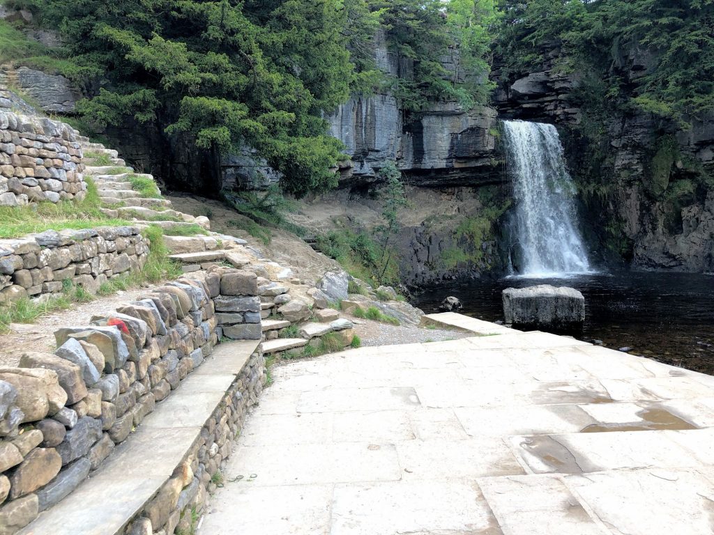
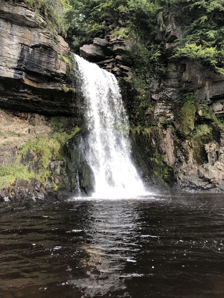
The approach to Thornton Force just above the River Twiss’s Cuckoo Island.
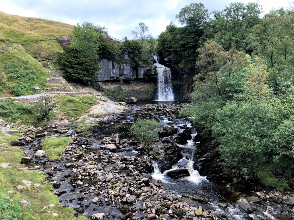
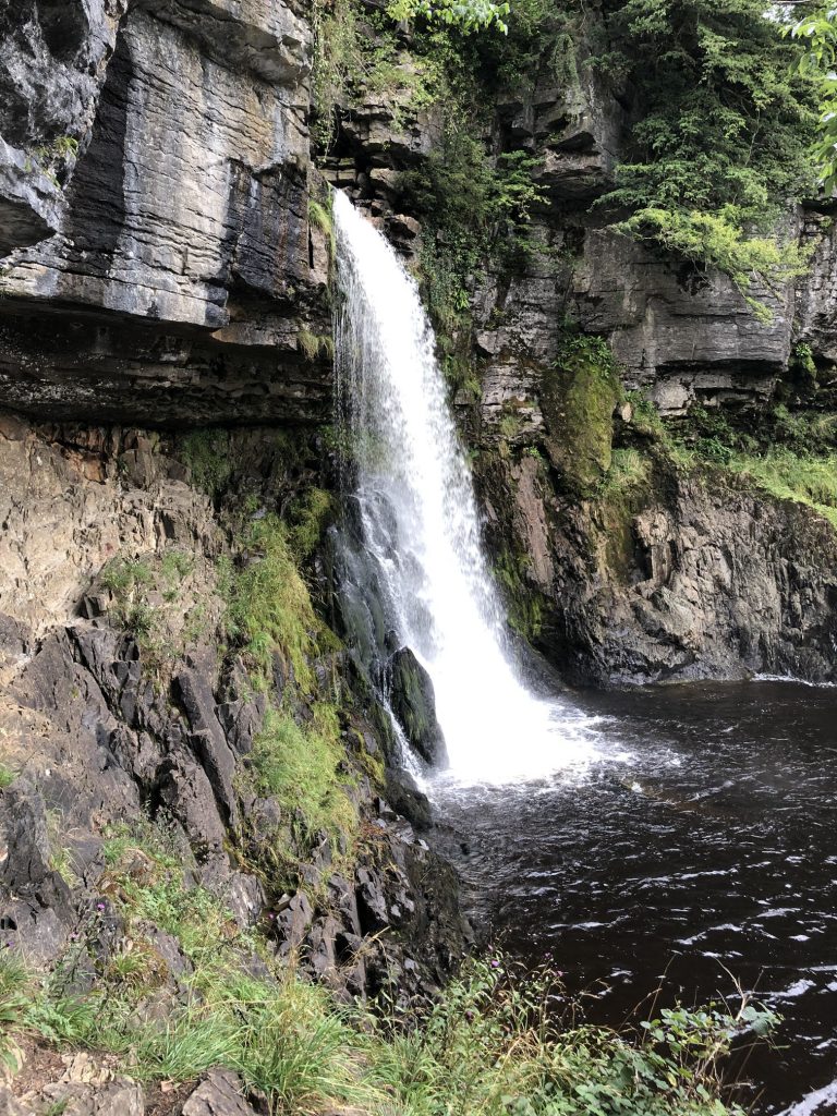
Thornton Force
A sign near the waterfall provides the following information:
JMW Turner would no doubt have been impressed by the River Twiss’s striking waterfall here at Ingleton. The artist visited the Ingleton area first in 1808 and then again in the wet summer of 1816 when his sketches included one of Thornton Force for ‘A General History of the County of York’.
Thornton Force falls over 14 metres, where the water has cut through the limestone and dropped onto the sandstone rocks below. The heavy rainfall in 1816 meant that the river was high and the water would have been gushing over the rocks into the pool below, giving Turner plenty of opportunity to sketch the view.
Turner was interested in geology and many of his Yorkshire sketches show how water has shaped the landscape, creating waterfalls and the dales that you see today. The artist used light effects in his paintings to create a dramatic atmosphere within the landscape.
Ingleton and its waterfalls were becoming well known in Turner’s time. During the Victorian period, travel was made easier because of the railway. Tourists began to flock here from the cities and in 1885 the Waterfalls Trail was opened, enabling access to Thornton Force on foot from Ingleton village, up the valley of the Twiss via new paths and bridges. Visitors have enjoyed these spectacular waterfalls, as well as the rich variety of wildlife ever since.
Take time to trace Turner’s footsteps on the Turner Trails throughout Yorkshire.
The first view of Ingleborough from Twisleton Scar End. Here I have left the Ingleton Waterfalls Trail at its northern end and will rejoin it later in the day.
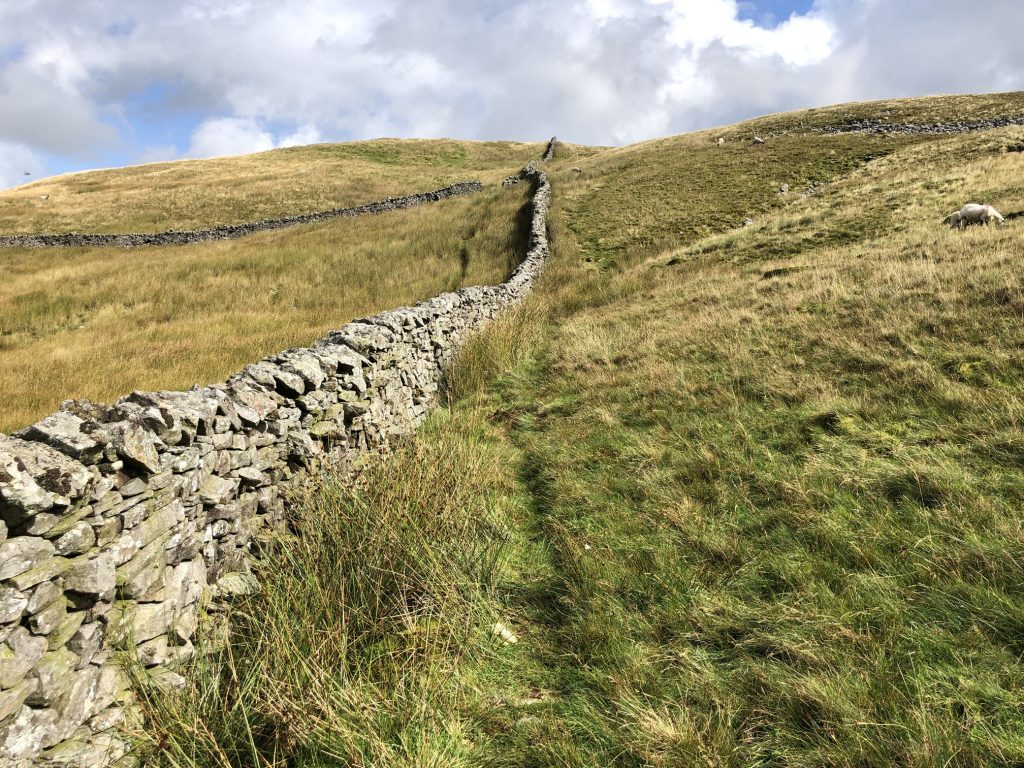
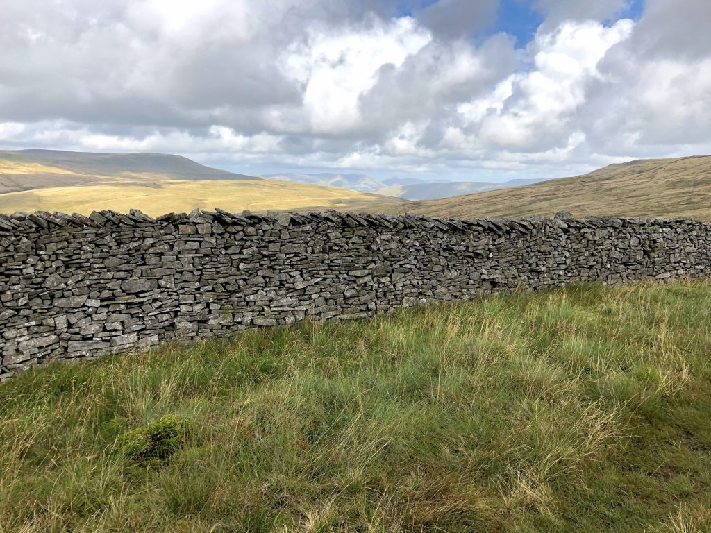
The start of the four-mile climb to the top of Whernside. It’s straight forward – just follow the wall – and the gradient is gentle.
The north-west view over the Kingsdale valley towards Gragareth.
Following the wall to Whernside. The summit is still in the clouds.
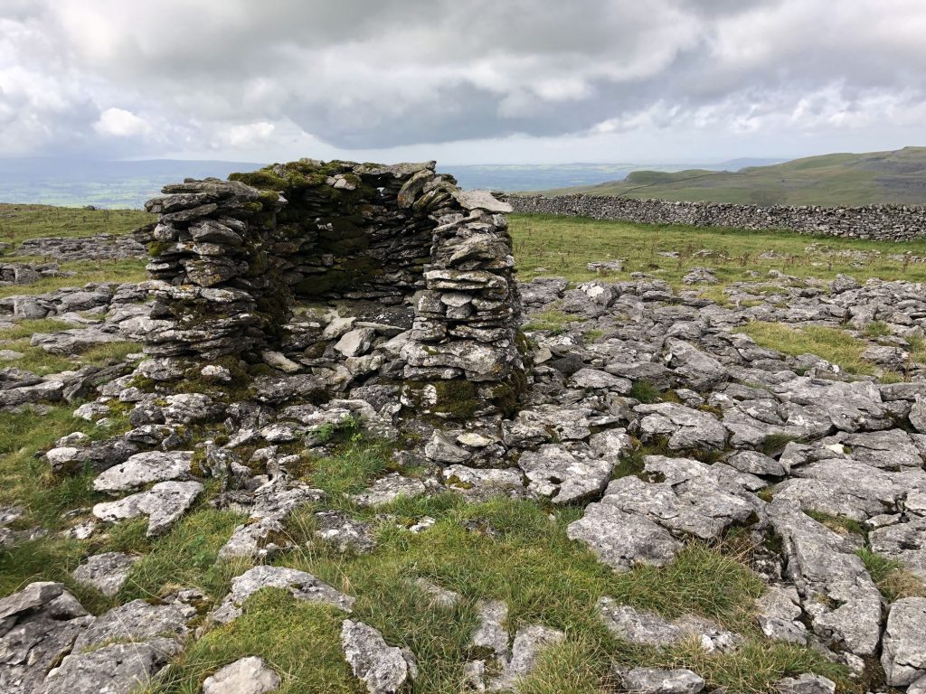
The Ordnance Survey map indicates there is a shelter here. This looks more like a grouse butt to me, and there are others close by.
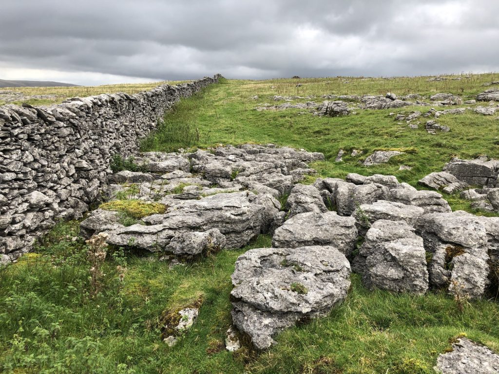
Beautiful limestone pavement is extensive in the Whernside / Ingleborough area of the Yorkshire Dales.
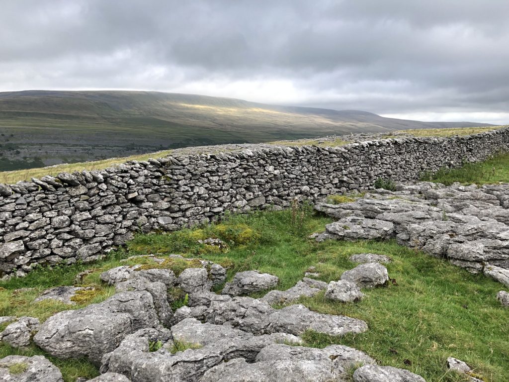
Still following the wall. The ground here can be boggy in winter.
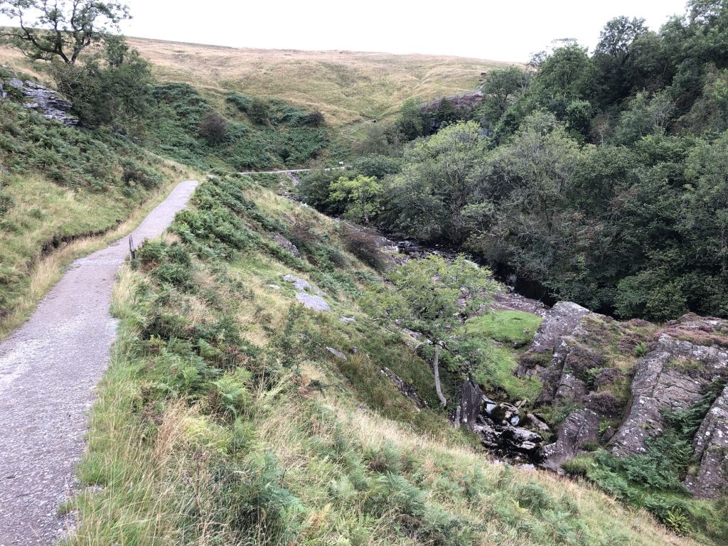
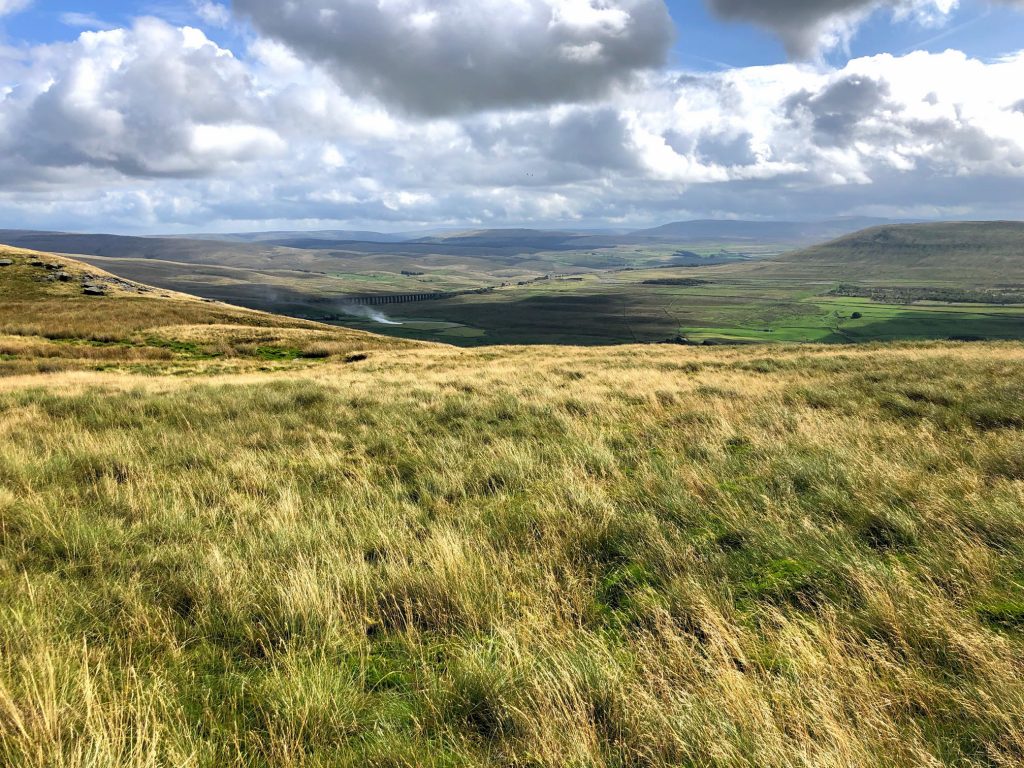
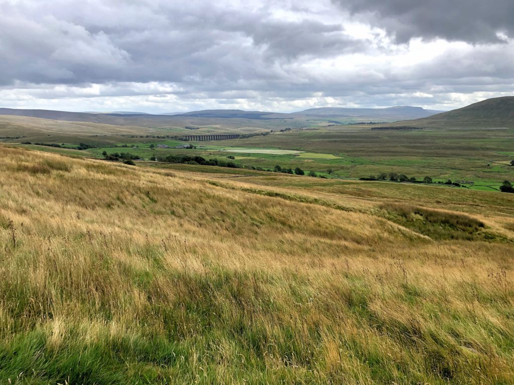
The view east from Combe Scar over the Ribblehead valley. The Ribblehead Viaduct is just visible in this picture.
Looking north-west from Combe Scar. The fantastic rolling hills of the Howgill Fells can be seen on the horizon in the centre of the photo.
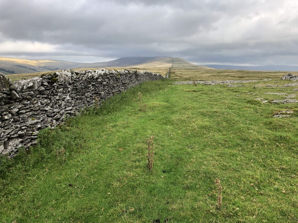
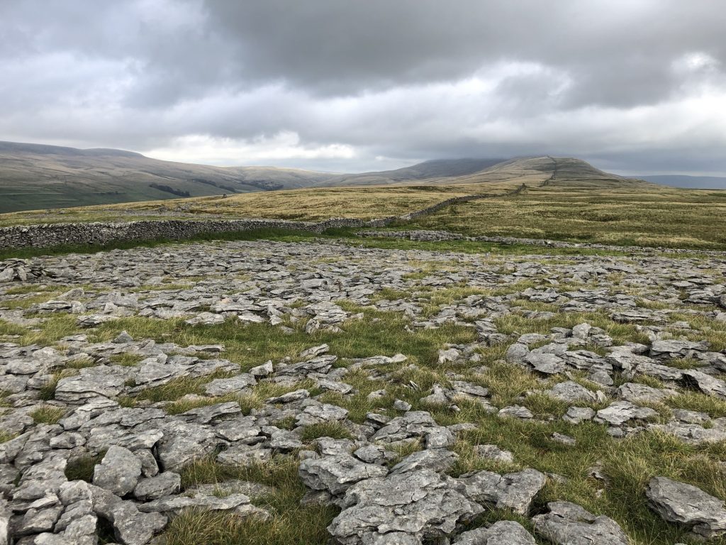
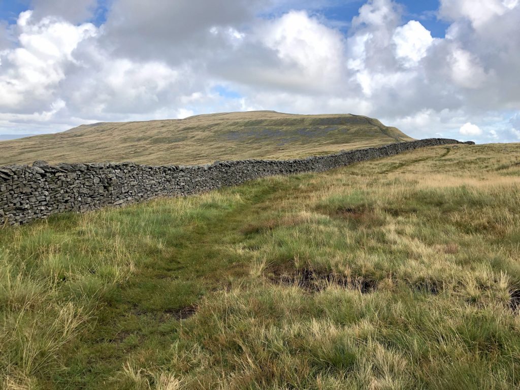
Now plainly in sight, the top of Whernside.
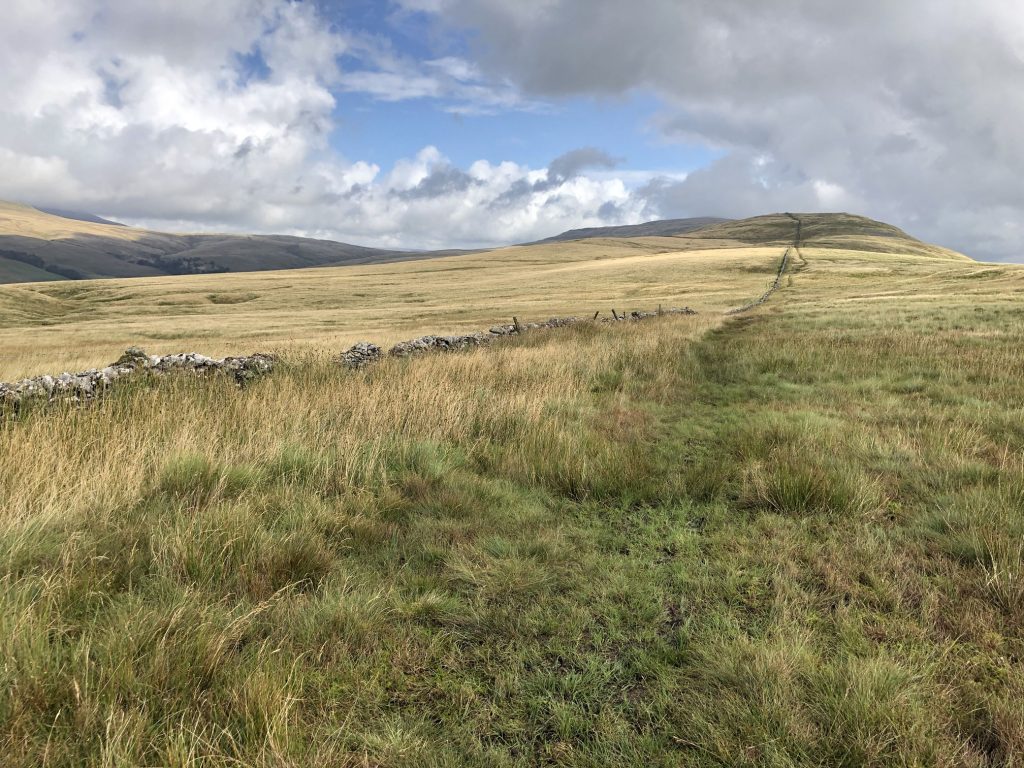
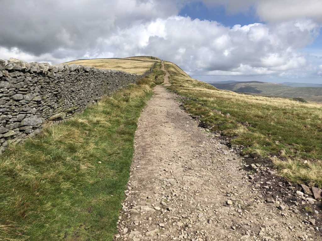
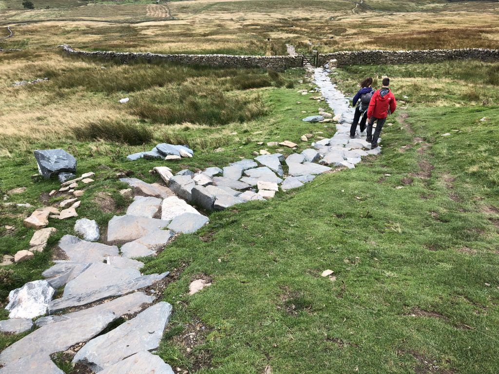
The grassy path I have been following for the last four miles now joins A Pennine Journey, which has to be well maintained to cope with about 100,000 walkers attempting the Yorkshire Three Peaks Challenge every year.
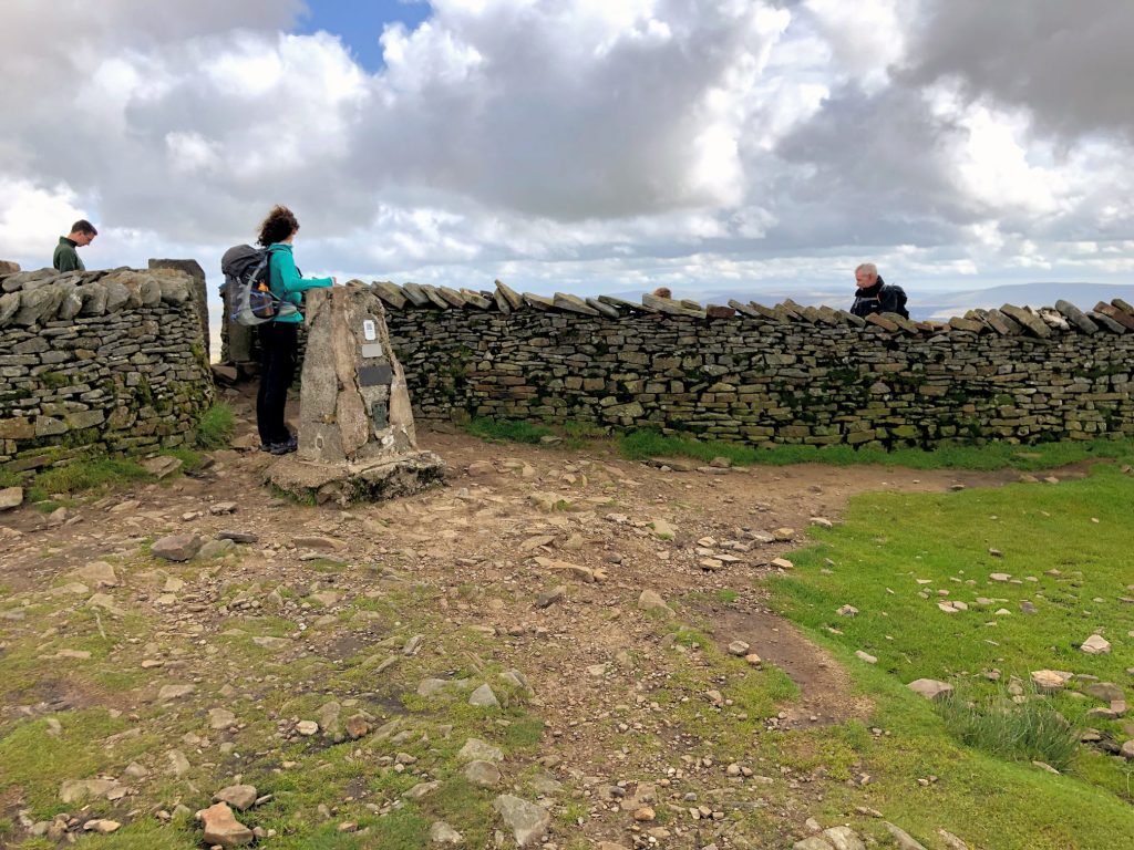
The summit of Whernside, height 736 metres (2415 feet). This is the highest mountain in the Yorkshire Dales.
The main descent off the summit of Whernside towards Bruntscar. A new 200-metre stone-pitched path has been created on the steepest section because the old path had become eroded beyond repair. Approximately 150 tonnes of stone was flown in by helicopter, and the total cost of the project was around £46,000.
The view south down to Chapel-le-Dale. In the distance, from left to right, the summits of Park Fell, Simon Fell and Ingleborough.
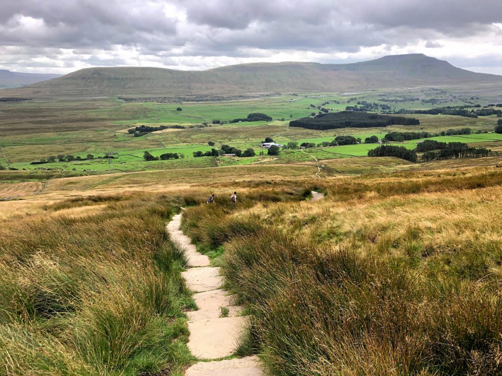
The view south-east towards Ribblehead Viaduct at the head of the valley. The silhouette of Pen-y-ghent, about eight miles away as the crow flies, is visible on the right of the picture.
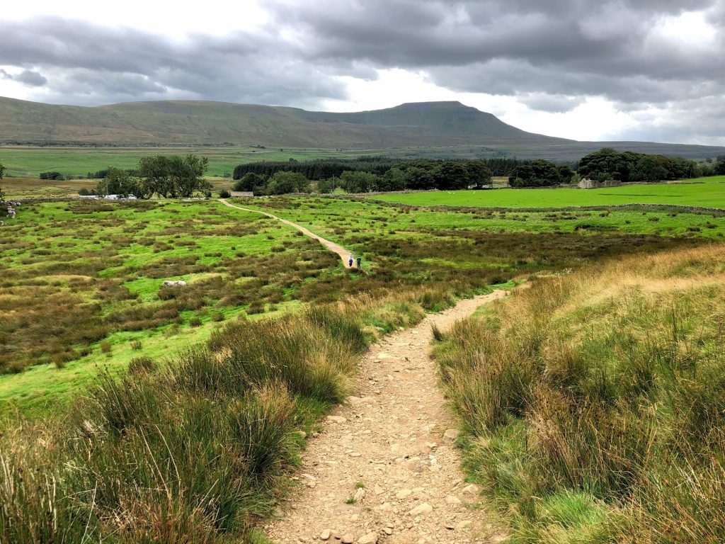
The approach to Bruntscar on A Pennine Journey. Directly south of this point is Ingleborough, which has a very recognisable plateau.
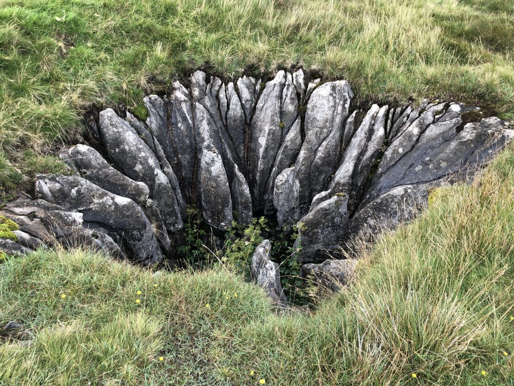
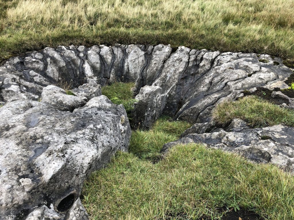
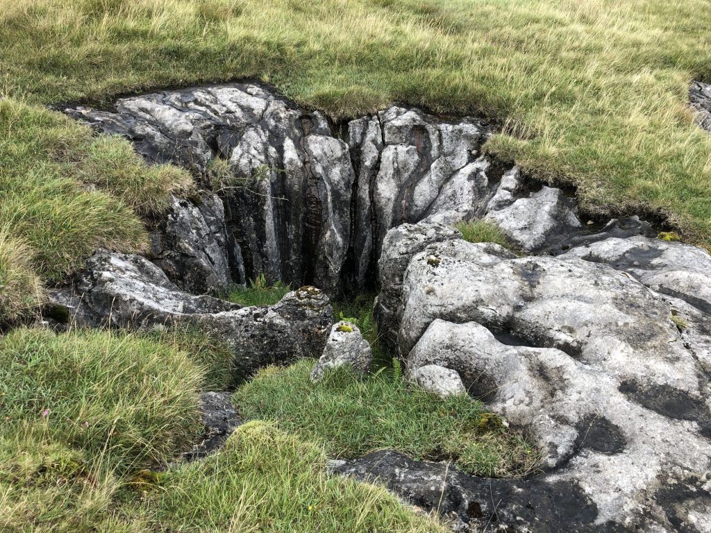
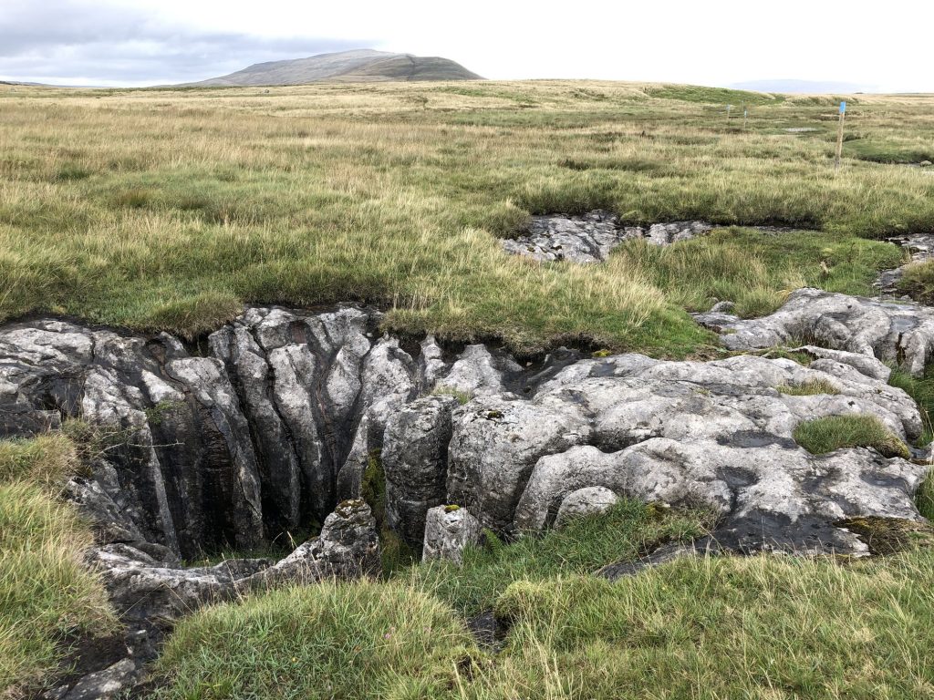
Fascinating potholes on Scales Moor. Rainwater, which becomes slightly acidic after absorbing carbon dioxide from peat and soil, dissolves the limestone over thousands of years to create these openings.
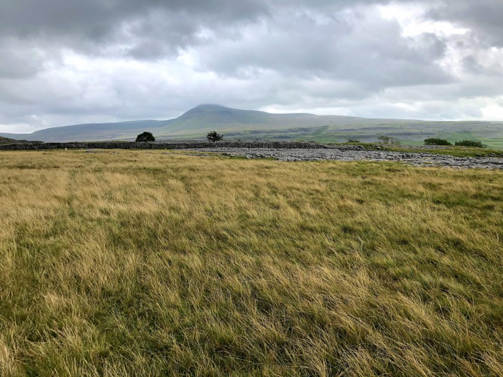
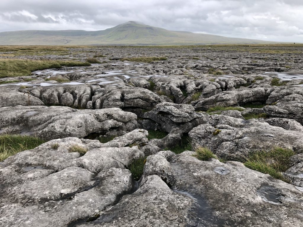
The view south-east over the limestone pavement at Ewes Top Moss towards Ingleborough.
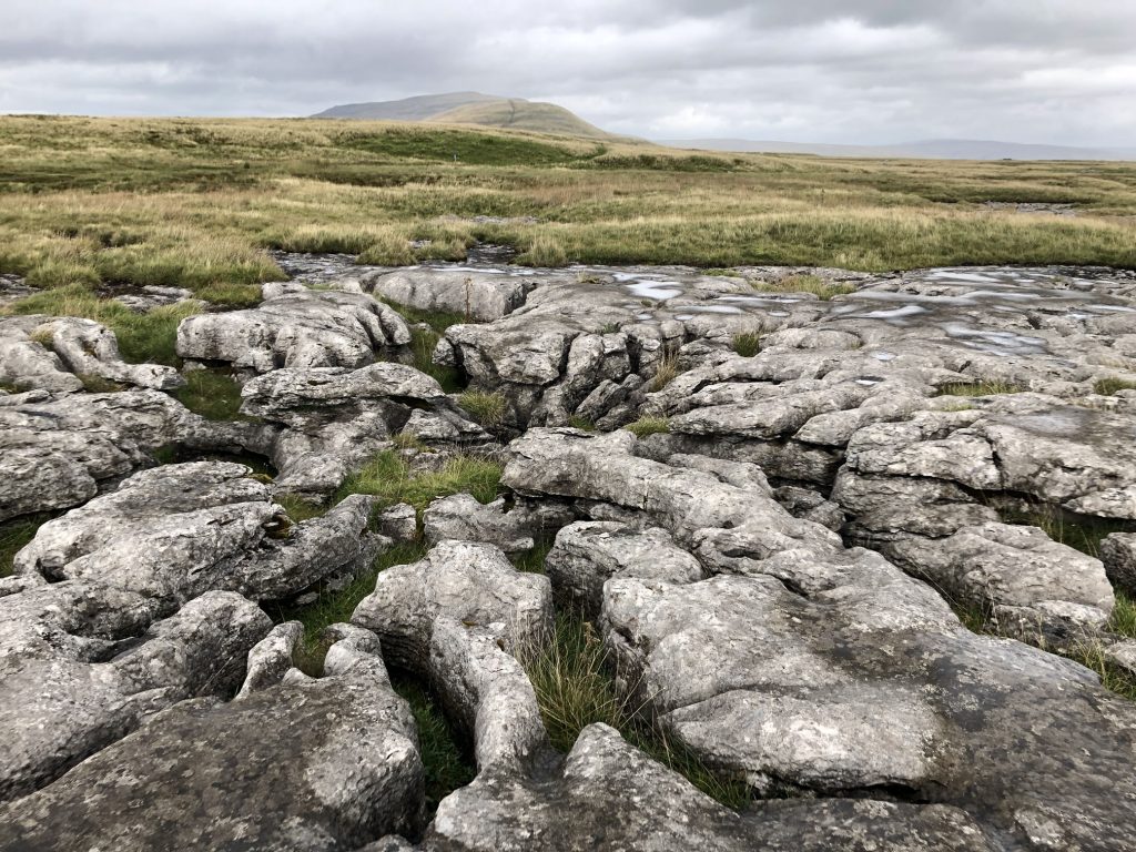
The view north-east over the limestone pavement at Ewes Top Moss towards Whernside.
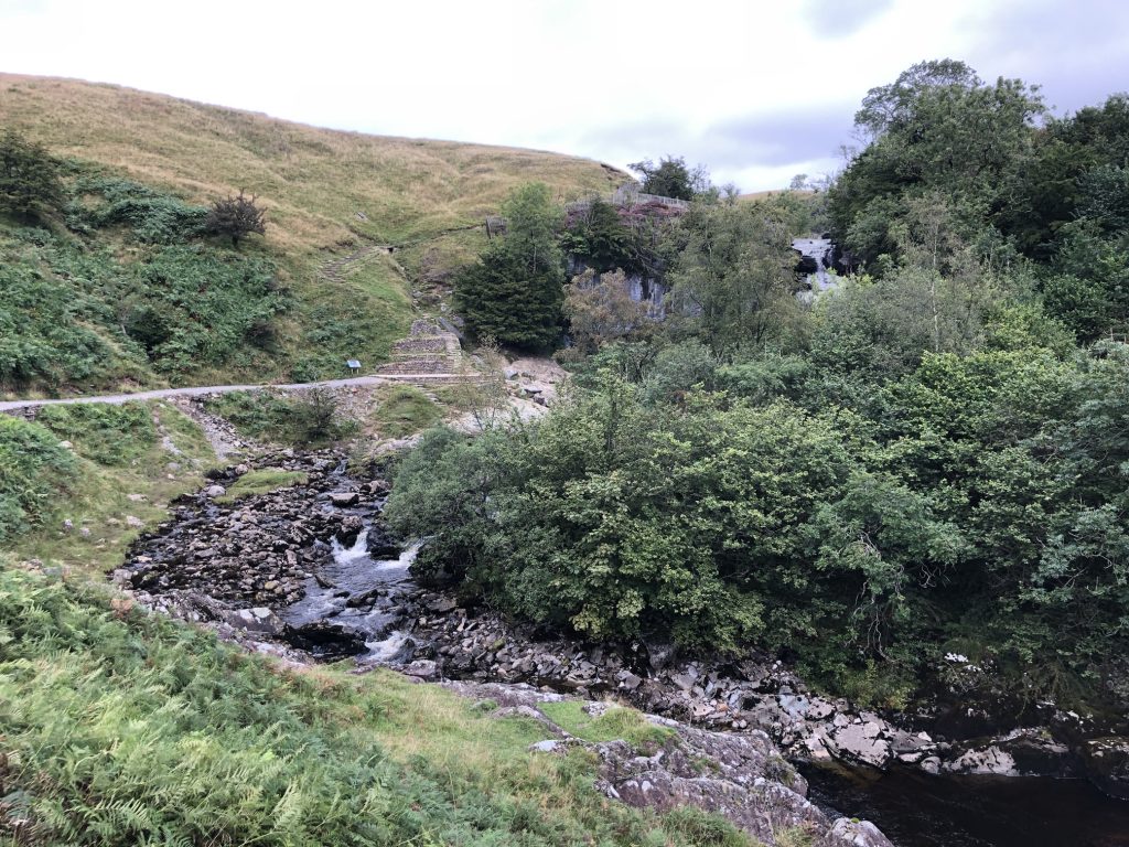
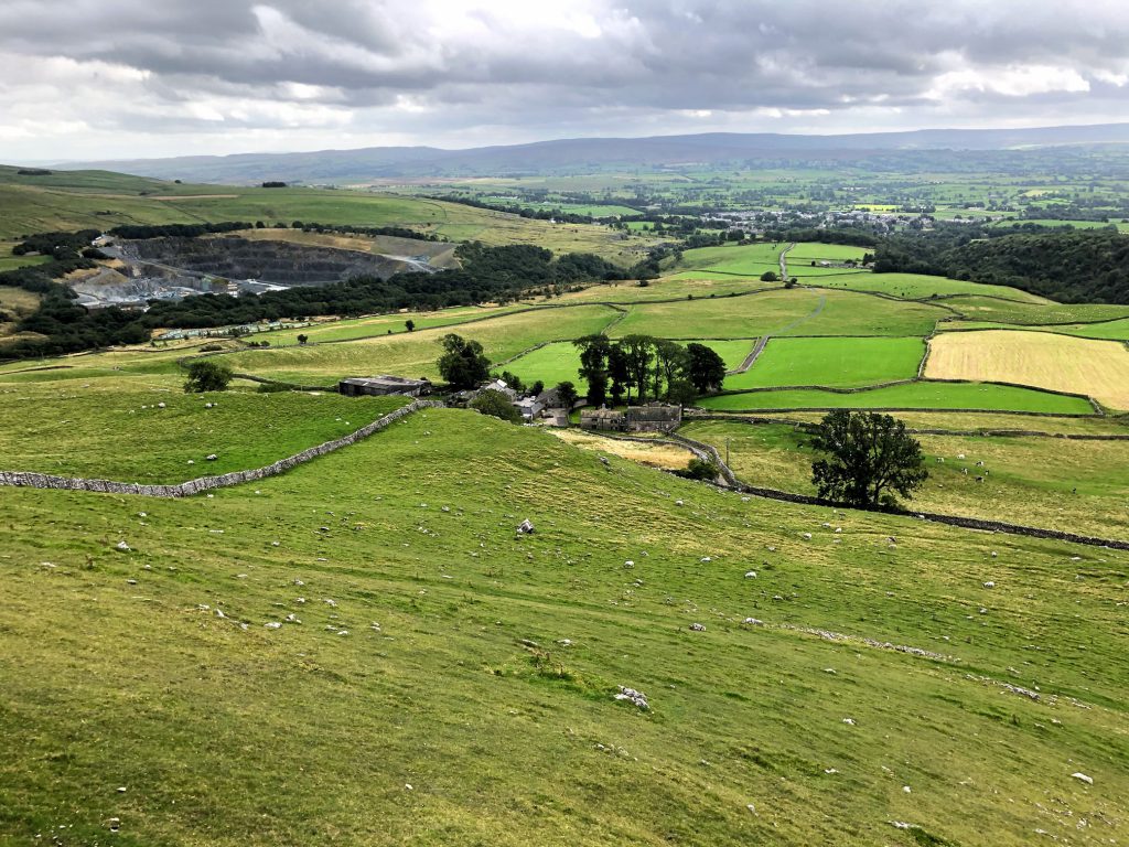
Looking south towards the village of Ingleton from Twisleton Scar End. At the bottom of the hill I rejoin the Ingleton Waterfalls Trail near Twisleton Hall.
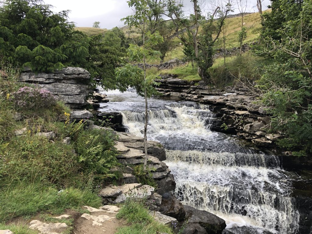
Beezley Falls, a series of waterfalls on the return leg of the Ingleton Waterfalls Trail. The falls are created by the River Doe, which flows south-west to Ingleton and joins the River Twiss to form the River Greta.
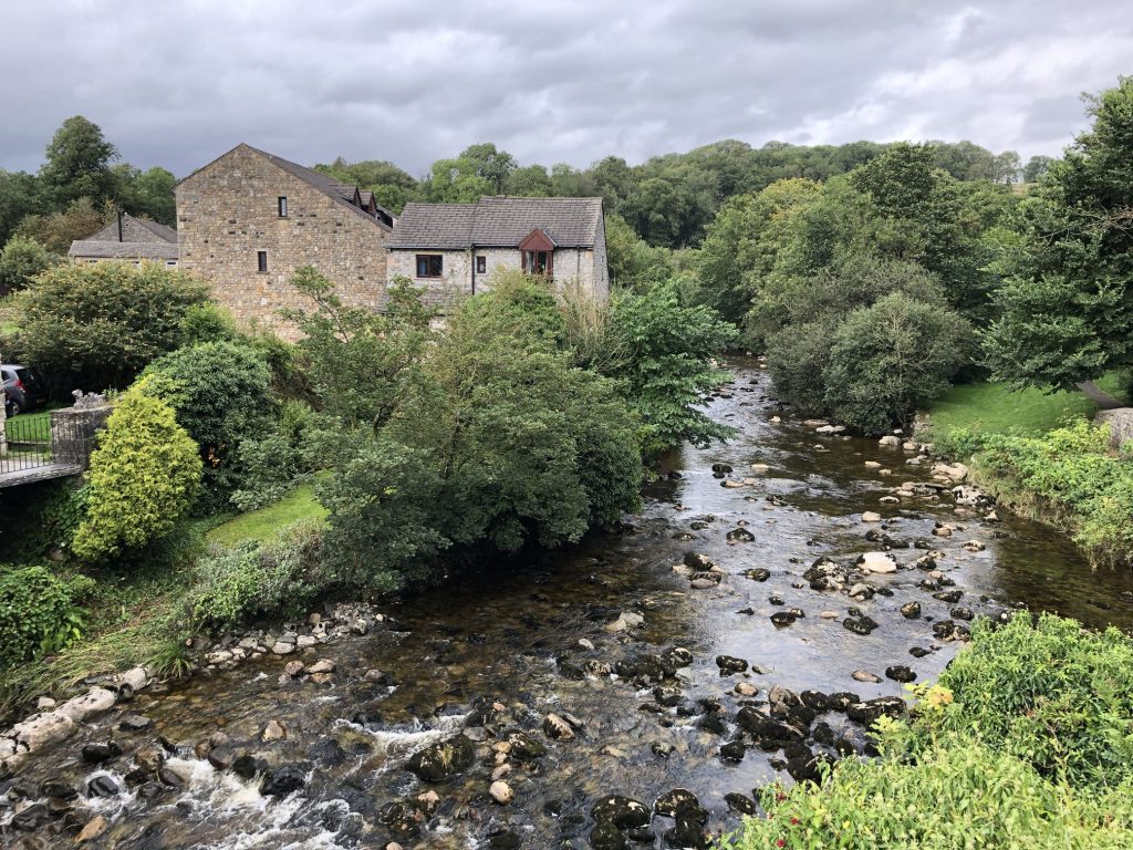
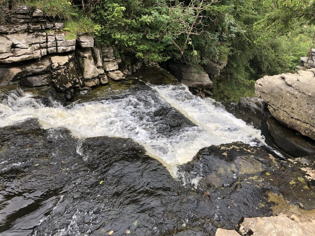
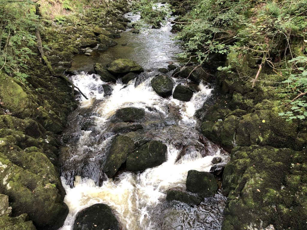
The River Doe.
The River Doe at Ingleton.