North-west out of Muker then along the Pennine Way above Kisdon Side and Rukin Wood to Keld. East past Crackpot Hall and over the moors to Gunnerside Gill. South to Gunnerside following the course of Gunnerside Beck, and lastly west to Muker alongside the River Swale. A 13-mile walk in the Swaledale area of the Yorkshire Dales.
Recommended Ordnance Survey Map
The best map to use on this walk is the Ordnance Survey map of the Yorkshire Dales Northern & Central Area, reference OS Explorer OL30, scale 1:25,000. It clearly displays footpaths, rights of way, open access land and vegetation on the ground, making it ideal for walking, running and hiking. The map can be purchased from Amazon in either a standard, paper version or a weatherproof, laminated version, as shown below.
Standard Version
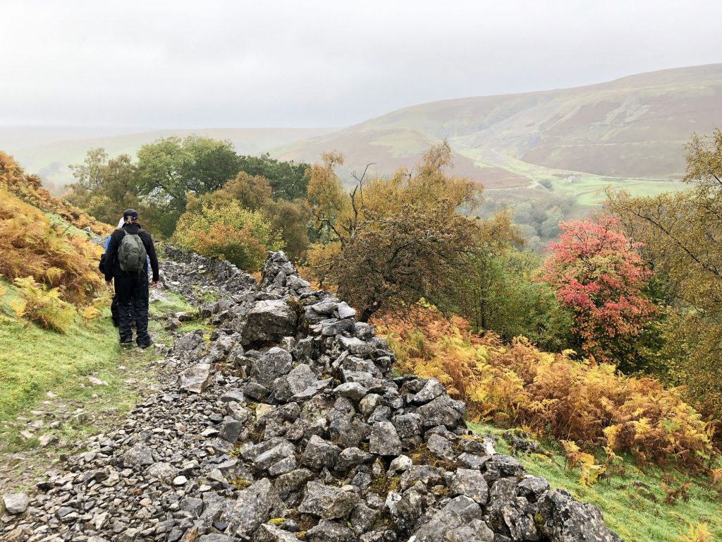
A misty morning on North Gang Scar between Muker and Keld.
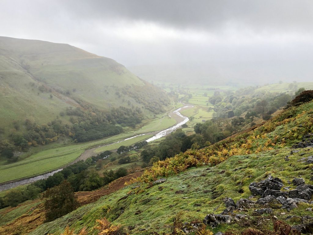
Heading towards Keld by way of North Gang Scar.
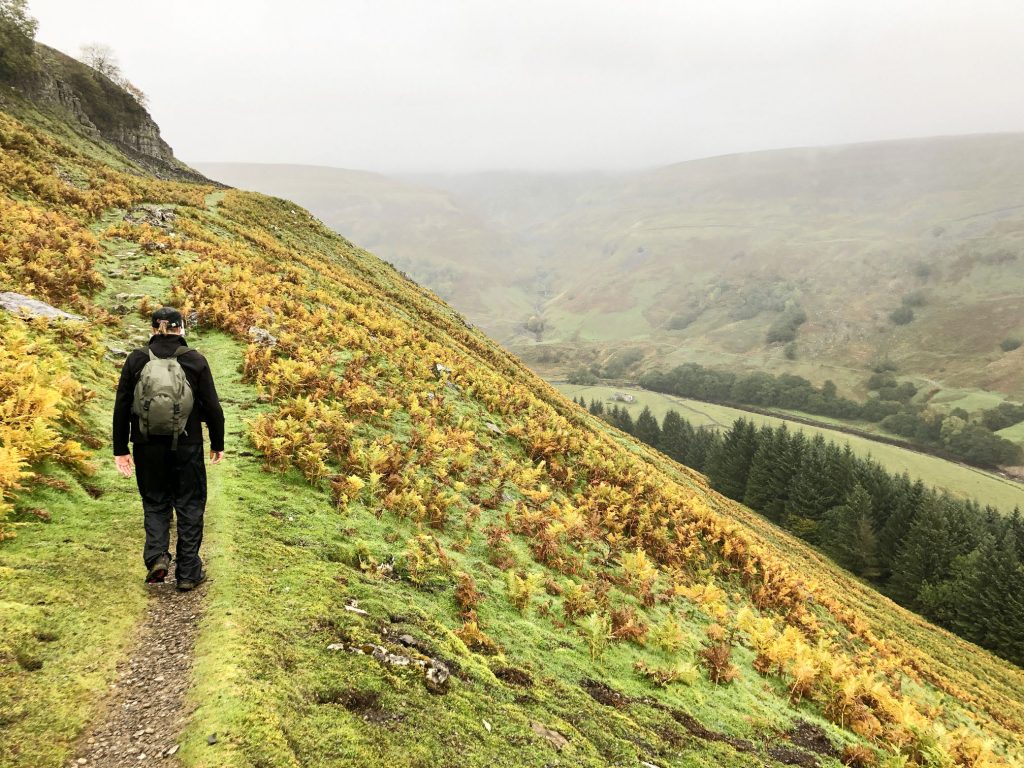
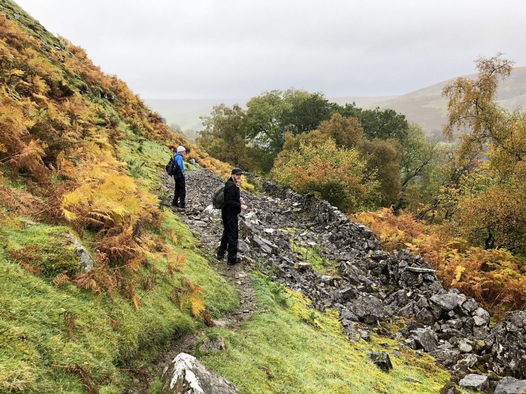
The footpath above Rukin Wood just north of Kisdon Side.
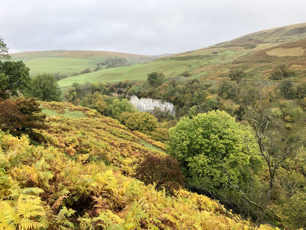
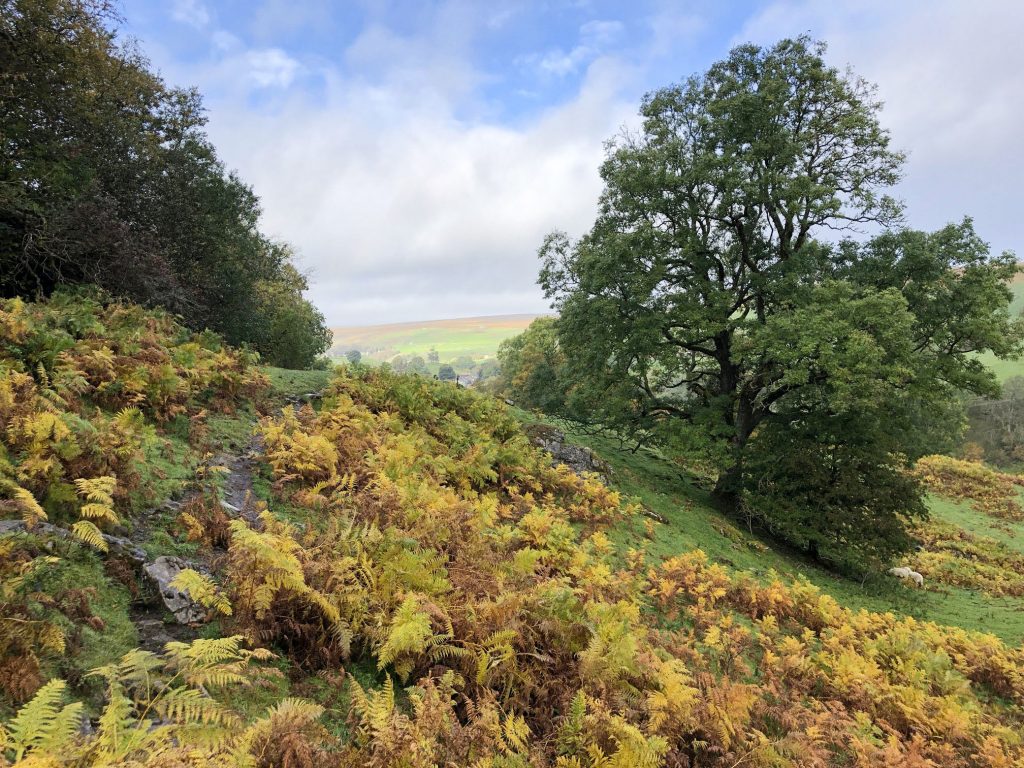
Beautiful scenery near Birk Hill, south-east of Keld.
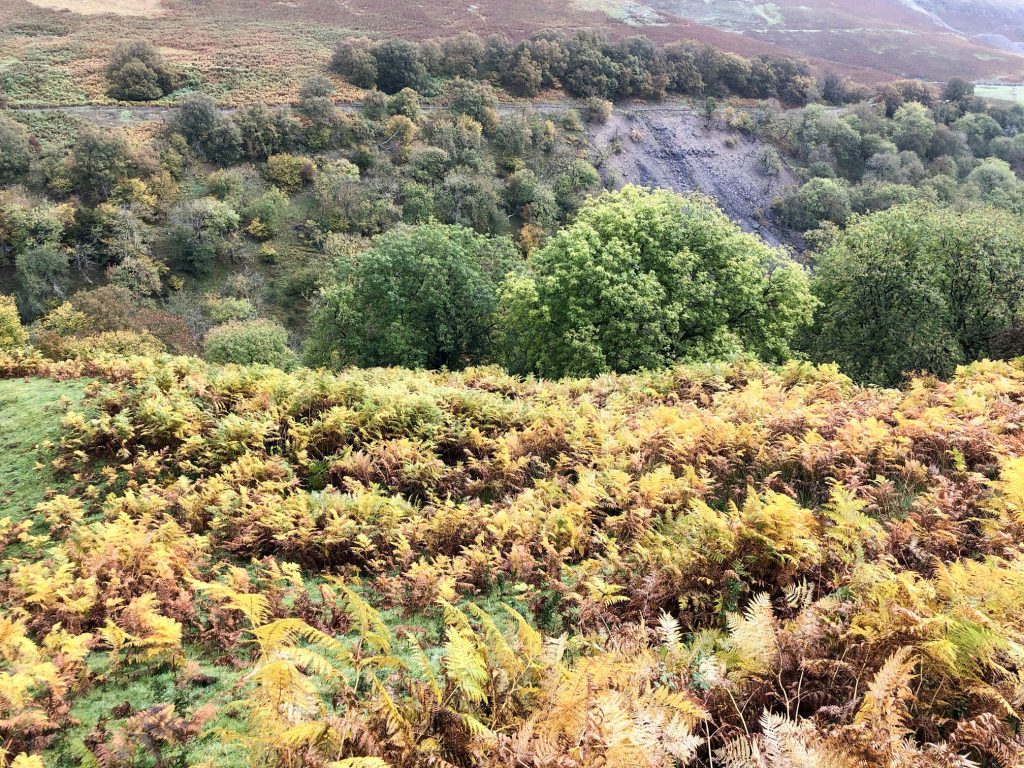
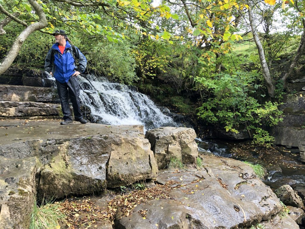
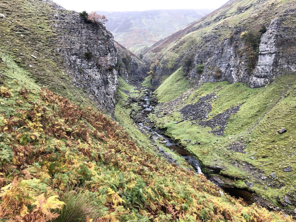
Looking across the steep-sided valley near Kisdon Force. The River Swale can’t be seen from here but is down below, and the waterfall can be heard.
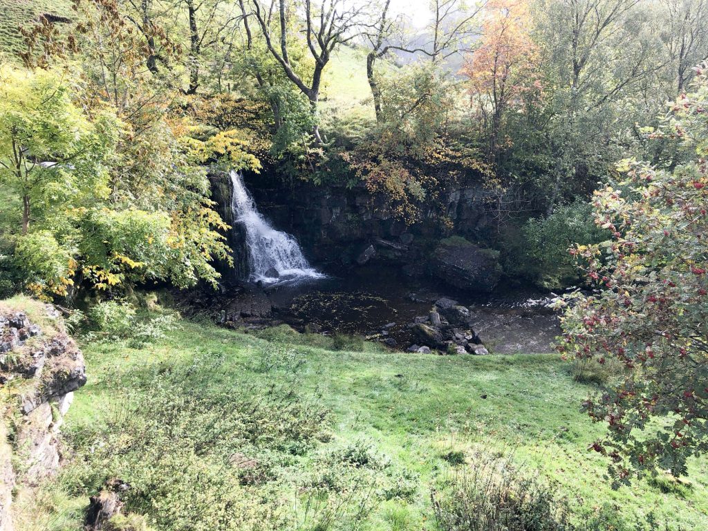
Kisdon Force, about a quarter of a mile south-east of Keld.
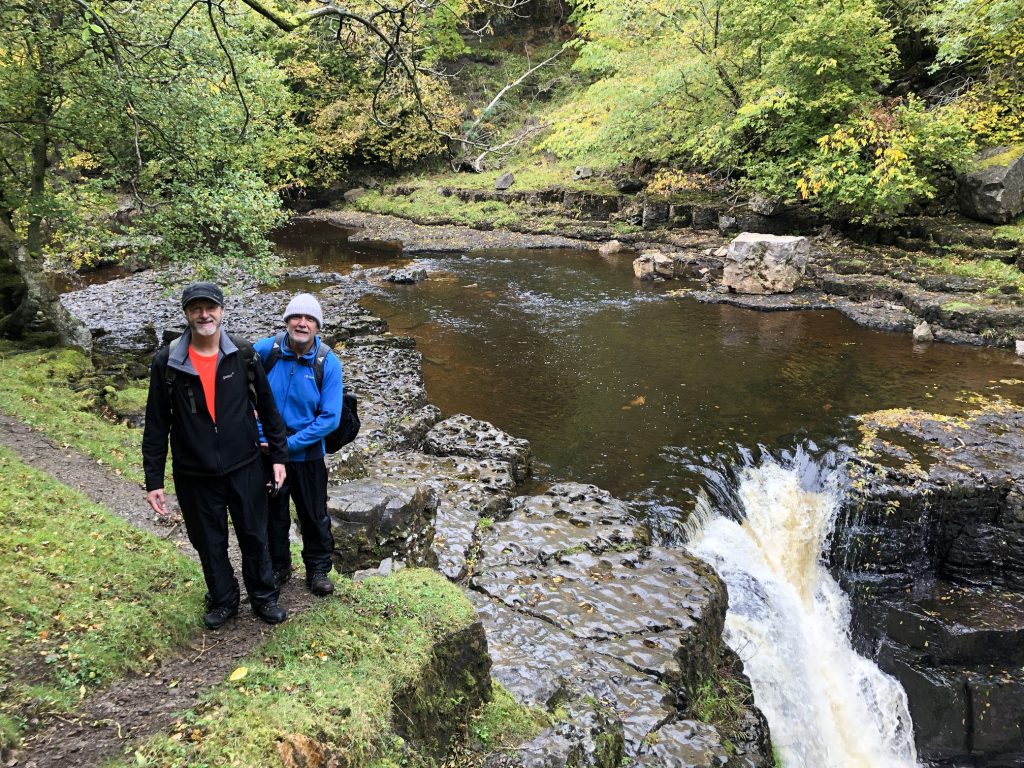
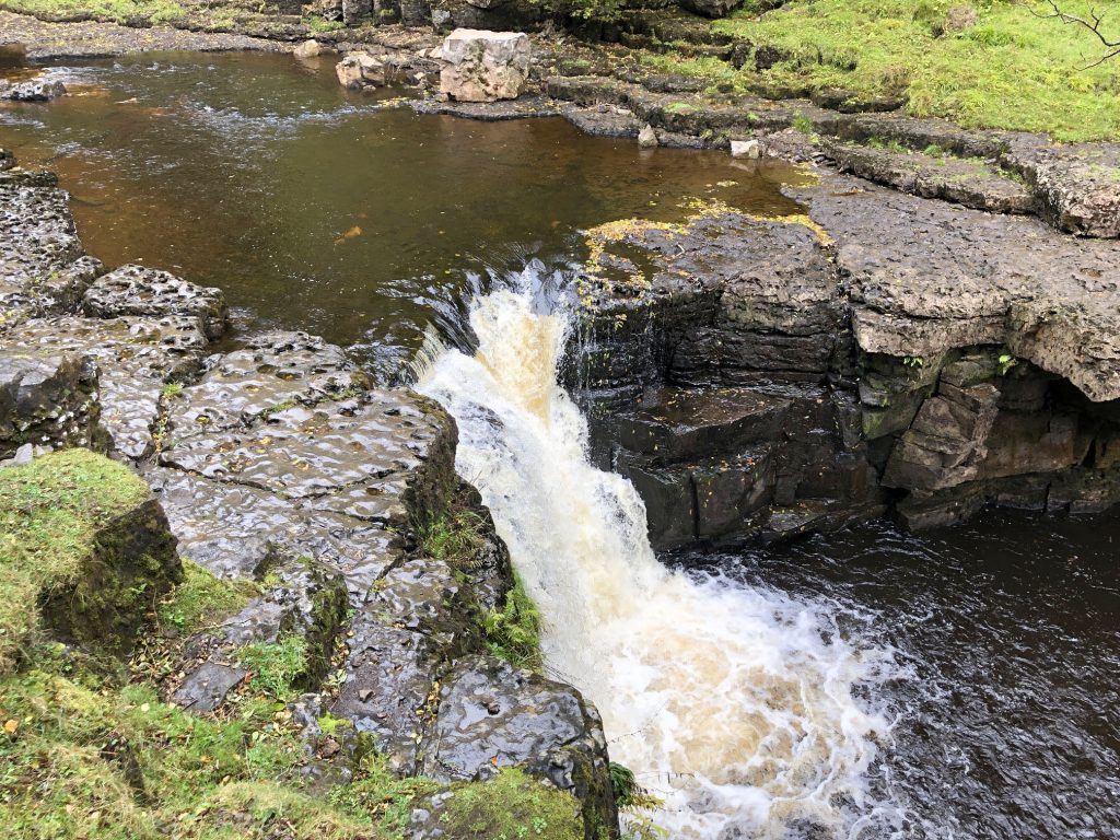
The River Swale at Kisdon Force.
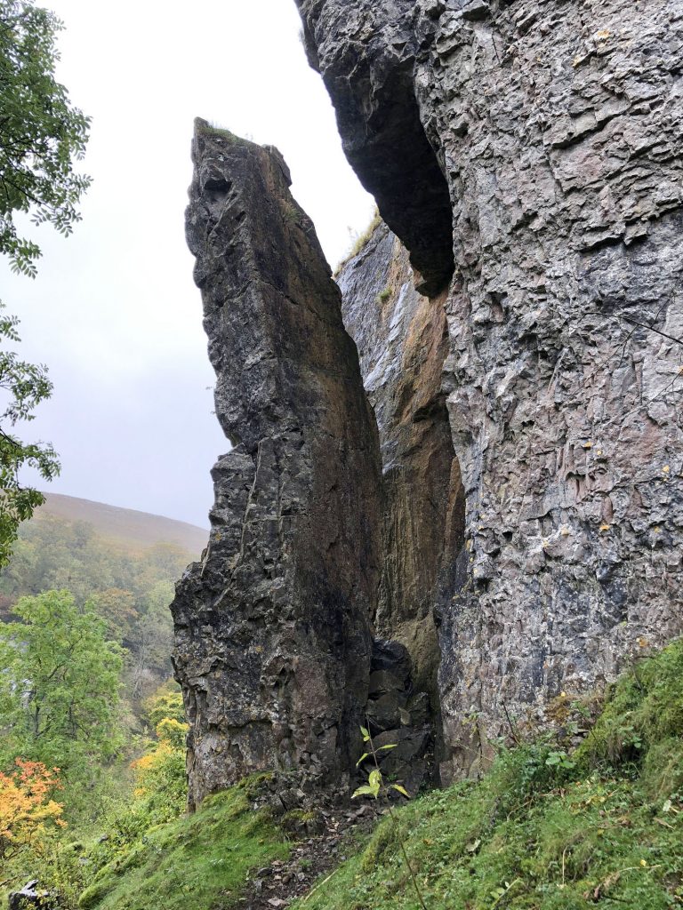
The process of weathering and erosion has opened up a huge crack in the rock face just above Kisdon Force.
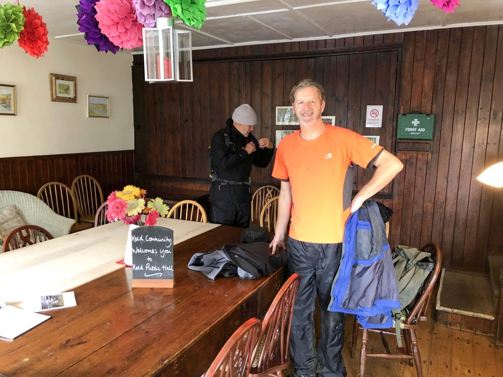
A self-service cafe inside Keld Public Hall.
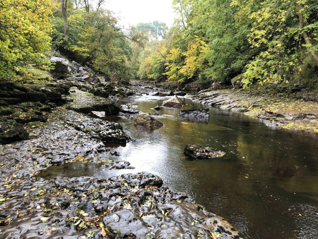
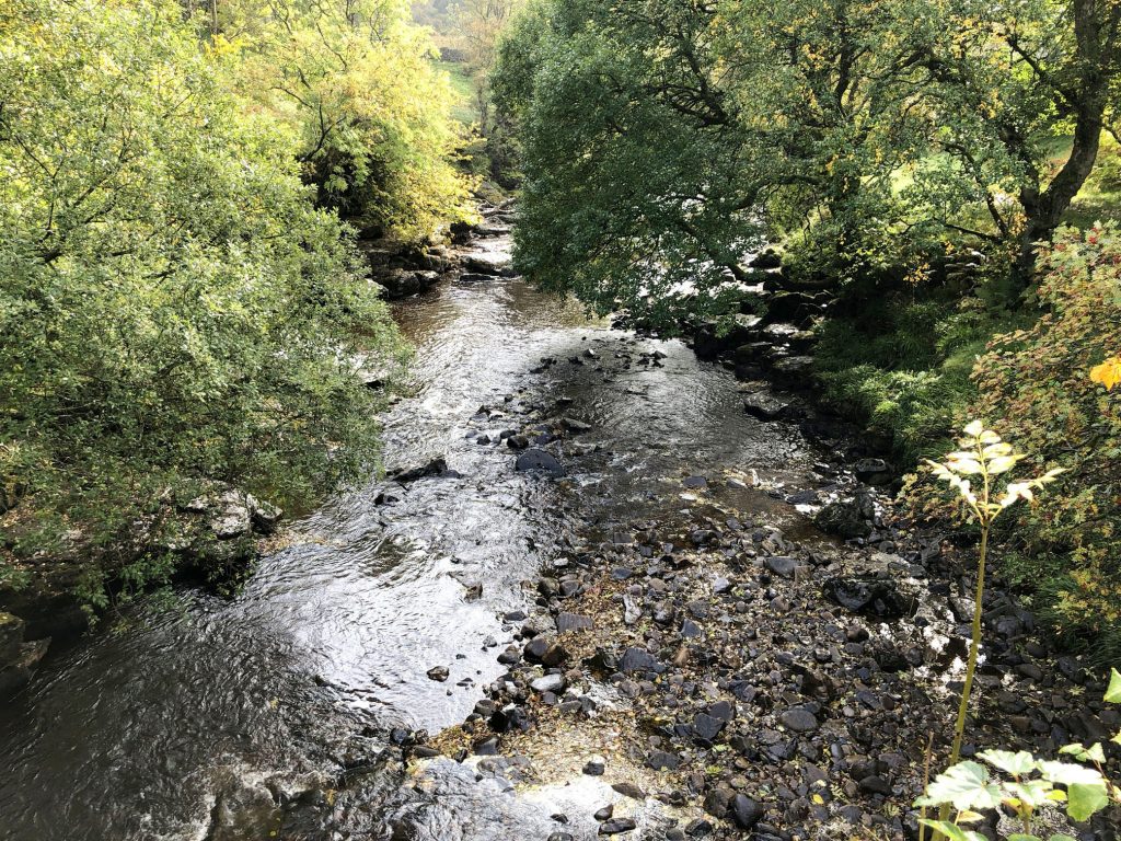
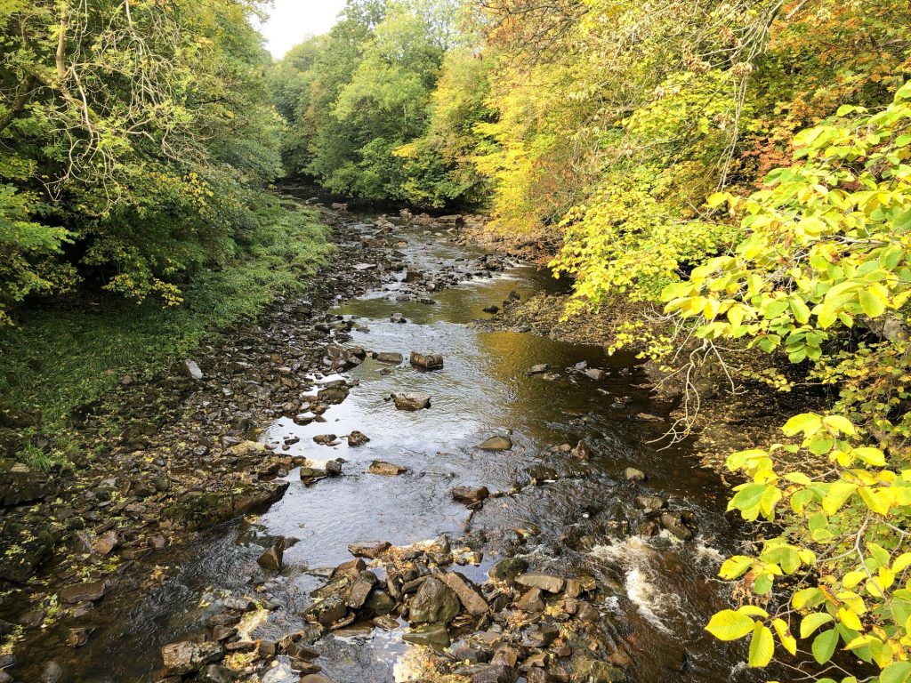
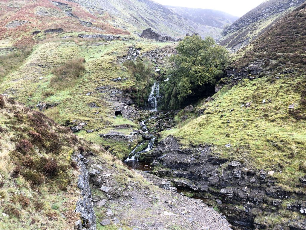
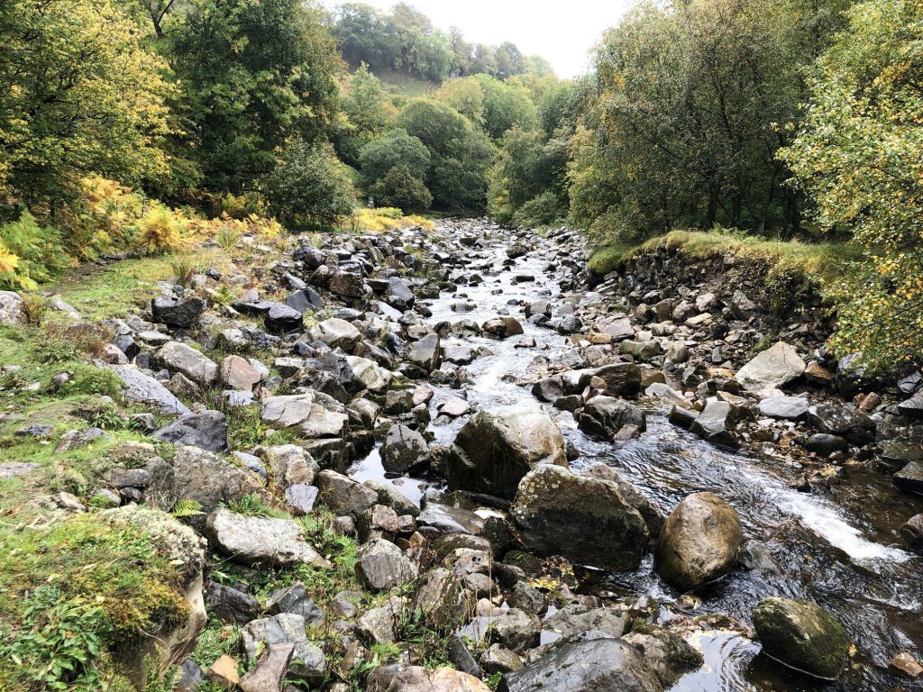
The River Swale.
Waterfalls on the north side of the River Swale near Keld.
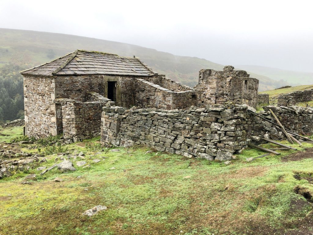
Crackpot Hall
The ruins of Crackpot Hall lie about a mile east of Keld on the northern slope of the dale above Bracken Hill. There may have been a building on this site since the 16th century when a hunting lodge was maintained for Thomas, the first Baron Wharton, who visited Swaledale occasionally to shoot the red deer. Survey work by the Yorkshire Dales National Park Authority has shown that the building has changed many times over the years. At one time it even had a heather or ‘ling’ thatched roof.
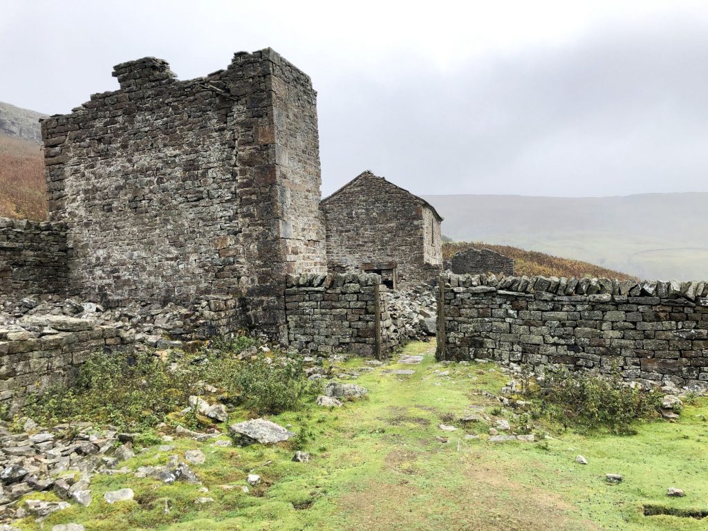
The current ruin is of a farmhouse dating from the middle of the 18th century. It was an impressive two-storey building with a slate roof and matching ‘shippons’ or cow sheds at each end for animals. The building may also have been used as mine offices, as intensive lead mining was carried out in the area, and there were violent disputes over mine boundaries in the 18th century.
The current building was abandoned in the 1950s because of subsidence. Crackpot Hall has been saved from further decay by Gunnerside Estate with the aid of grants from the Millennium Commission and European Union through the Yorkshire Dales Millennium Trust.
The name Crackpot is said to be Viking for a deep hole or chasm that is a haunt of crows.
Information from https://en.wikipedia.org/wiki/Keld,_North_Yorkshire
Swinner Gill.
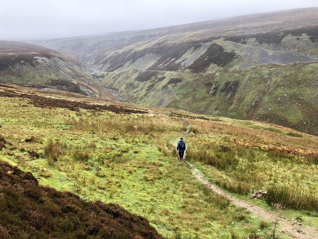
The view across Gunnerside Gill towards Melbecks Moor.
Heading down to Gunnerside Gill.
Gunnerside Beck flowing through Gunnerside Gill.
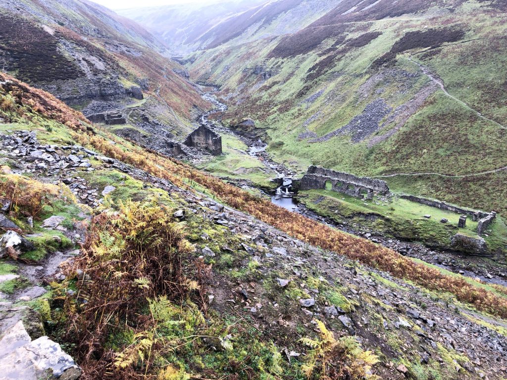
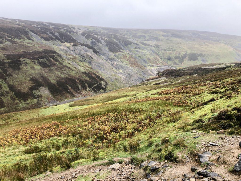
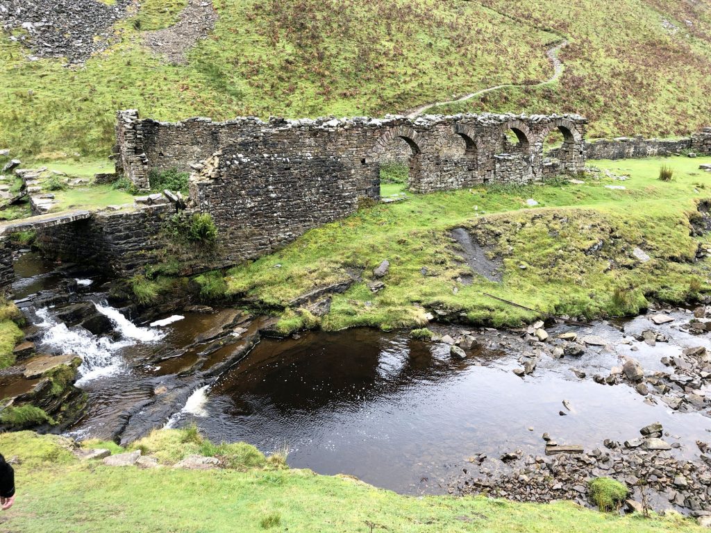
Gunnerside Gill
Intensive lead mining was carried out in Gunnerside Gill during the 18th and 19th centuries, and the valley still contains much evidence of its industrial past.
Streams were dammed, and the water released as a torrent to scour soil off the surface and reveal lead ore (galena) seams. The resultant scars are known as hushes (perhaps an onomatopoeia of the sound that the water made). Bunton Hush, Friarfold Hush and Gorton Hush are on the east side of the valley, with North Hush on the opposite side.
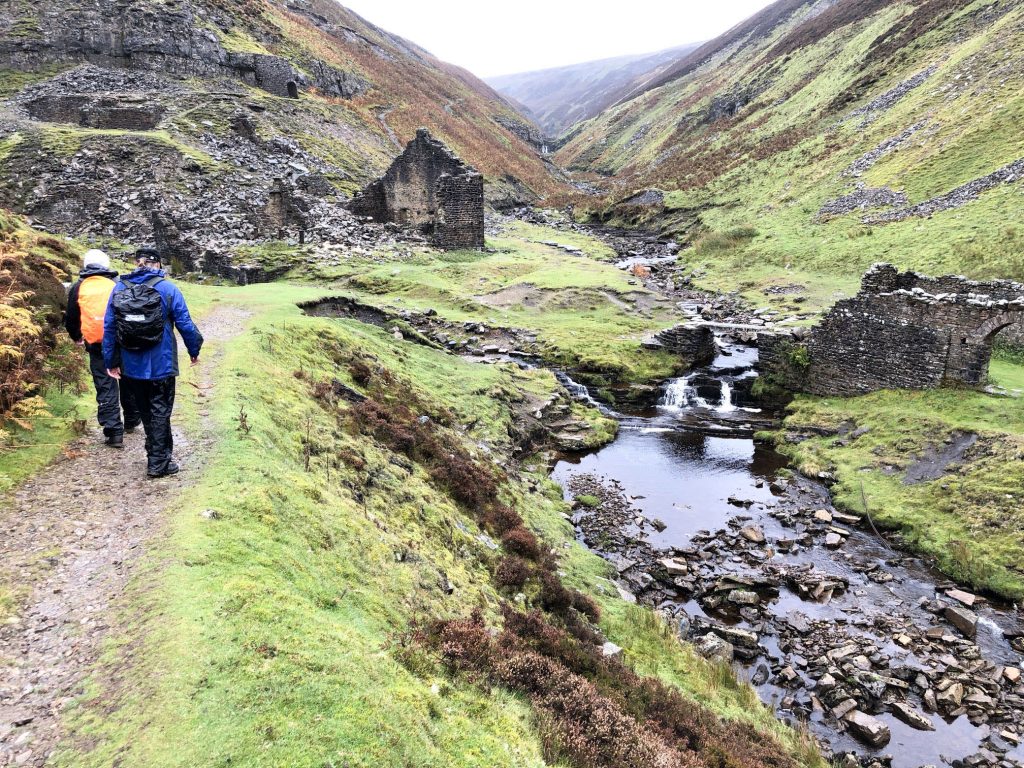
Large areas of the upper valley are covered in spoil heaps from the mining activity, and a number of buildings remain. Many of the buildings and mine structures are scheduled ancient monuments.
Gunnerside Beck, about half a mile north of the village of Gunnerside.
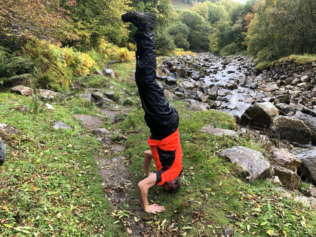
Yoga practice by the side of Gunnerside Beck.