South-east from the viaduct along Gauber Road, then south on footpaths via Colt Park before rejoining the road at Selside. Continuing south to pick up the Pennine Bridleway before heading south-west to Ingleborough Cave. Through Trow Gill on A Pennine Journey, past Gaping Gill, and north to Ingleborough. Finally north-east on the Ingleborough Ridge Walk to Park Fell, and back to Gauber Road and the starting point. A 14-mile walk in the Yorkshire Dales.
Recommended Ordnance Survey Map
The best map to use on this walk is the Ordnance Survey map of the Yorkshire Dales Southern & Western Area, reference OS Explorer OL2, scale 1:25,000. It clearly displays footpaths, rights of way, open access land and vegetation on the ground, making it ideal for walking, running and hiking. The map can be purchased from Amazon in either a standard, paper version or a weatherproof, laminated version, as shown below.
Standard Version
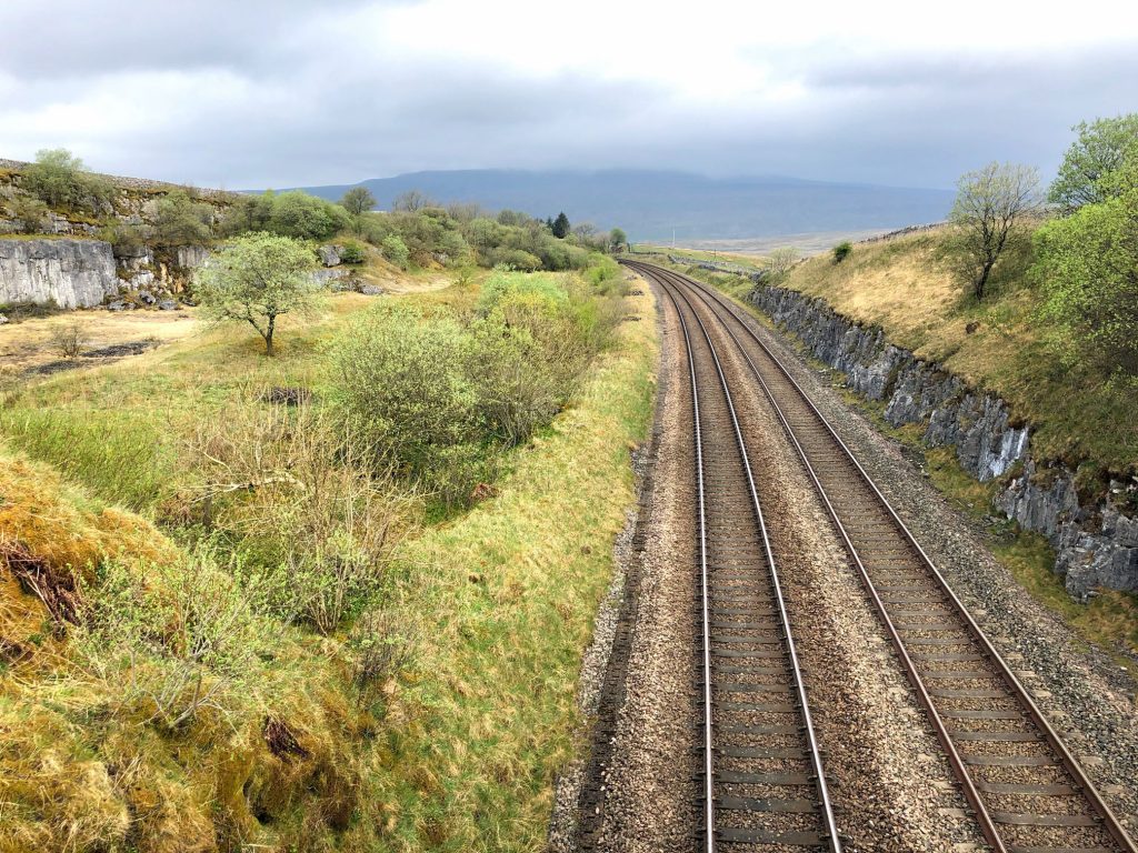
The track off Gauber Road, heading south-west to Colt Park over the Settle to Carlisle railway line. Park Fell can be seen behind the trees.
The Settle to Carlisle Railway
This 72-mile railway line was built by the Midland Railway Company and was completed for passenger travel in 1876. It took six years to build, by men who had to endure harsh conditions in a challenging landscape. According to Visit Cumbria (https://www.visitcumbria.com/carlset), the railway boasts the following features:
- 380 numbered bridges (including 14 tunnels & 21 viaducts).
- 20 stations (11 open, 9 closed).
- 12 signal boxes (10 operational, 2 preserved).
- Approximately 150 railway workers’ houses (all now in private ownership).
- Approximately 100 line-side huts (all disused and in various stages of decay).
- One aqueduct (recently restored).
- One original water tower (in Settle, recently restored as a home).
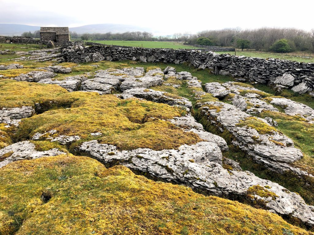
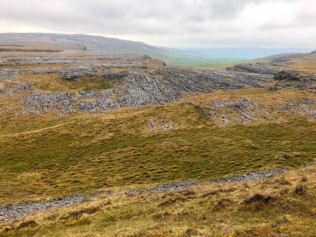
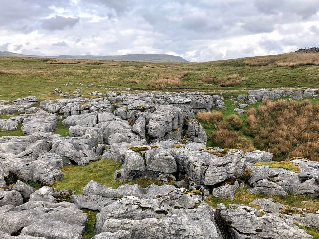
Limestone pavement near Colt Park Wood, part of the Ingleborough National Nature Reserve.
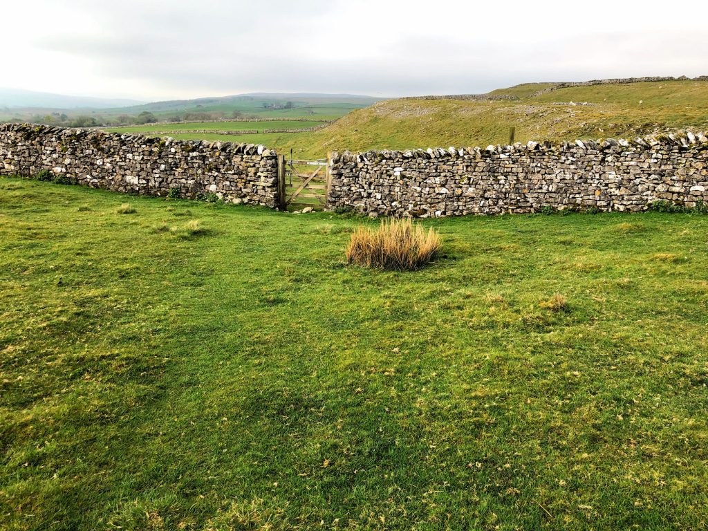
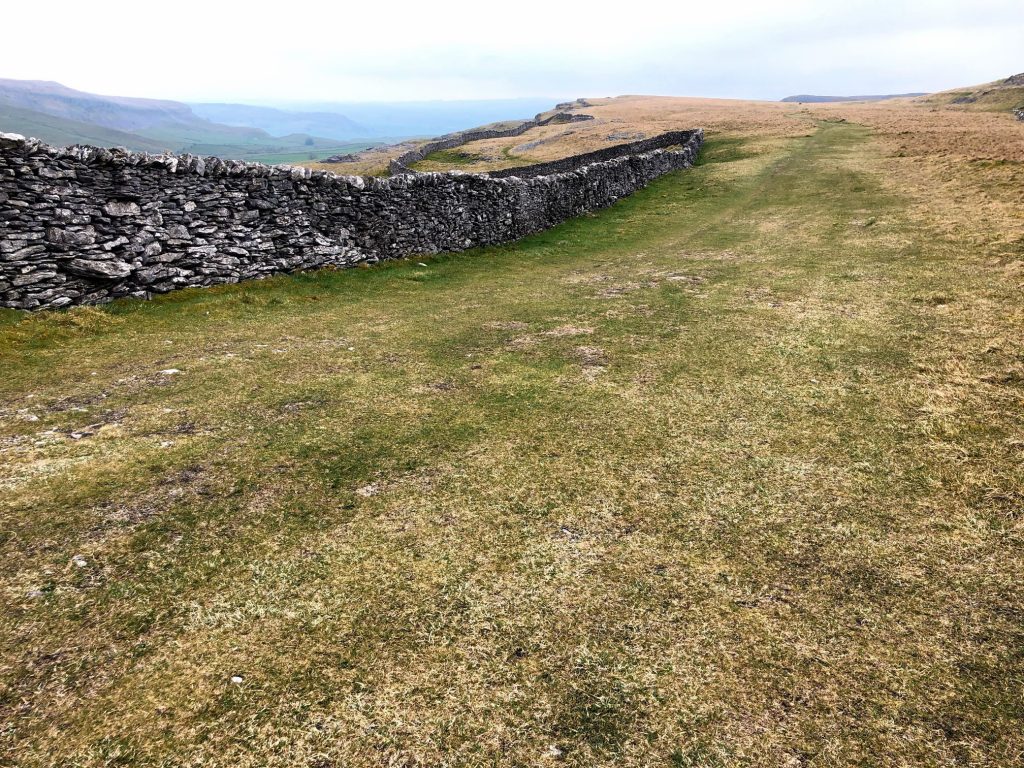
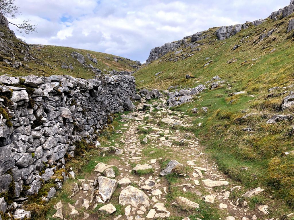
The path to Selside.
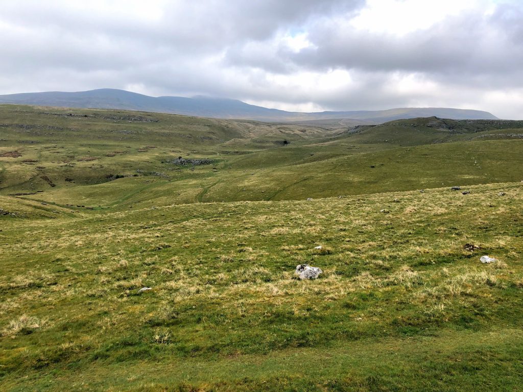
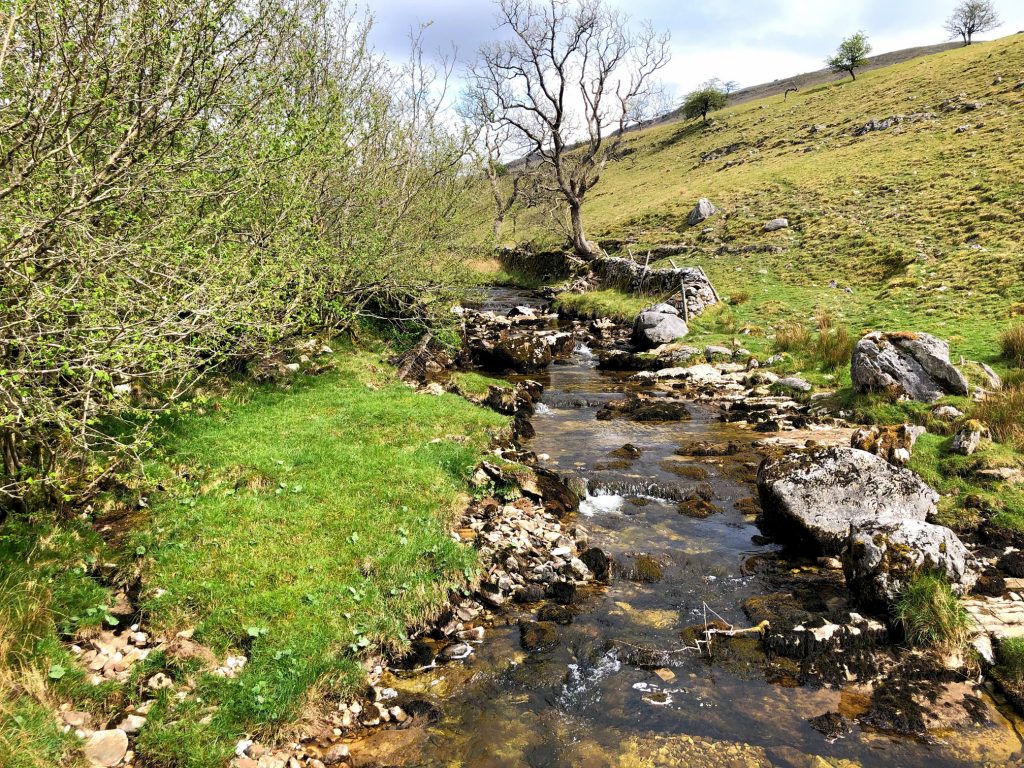
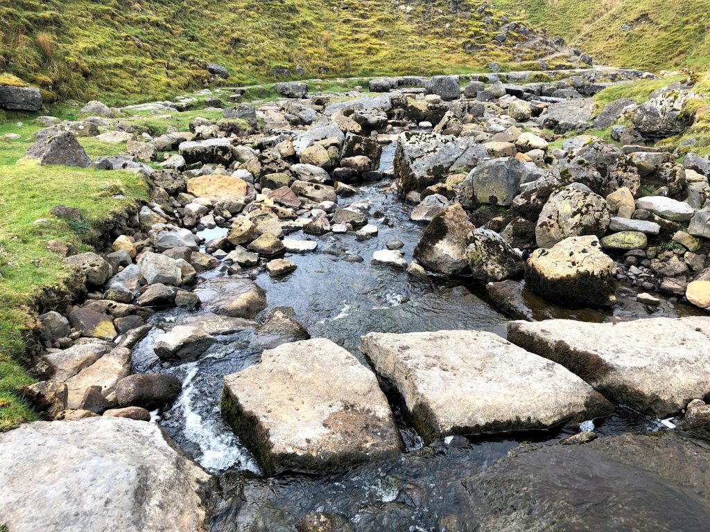
Looking down to Thieves Moss from Sulber Gate.
The view south-east from Sulber Gate over the fascinating limestone landscape.
The Pennine Bridleway.
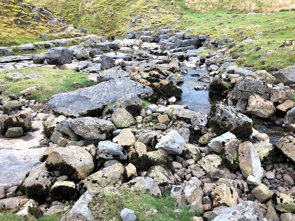
Looking back towards Thieves Moss from the Pennine Bridleway.
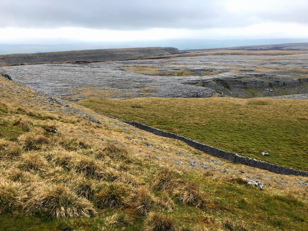
The view south-west to Trow Gill as seen from the Pennine Bridleway near Long Scar.
On the horizon, from left to right, the silhouettes of Little Ingleborough, Ingleborough and Simon Fell.
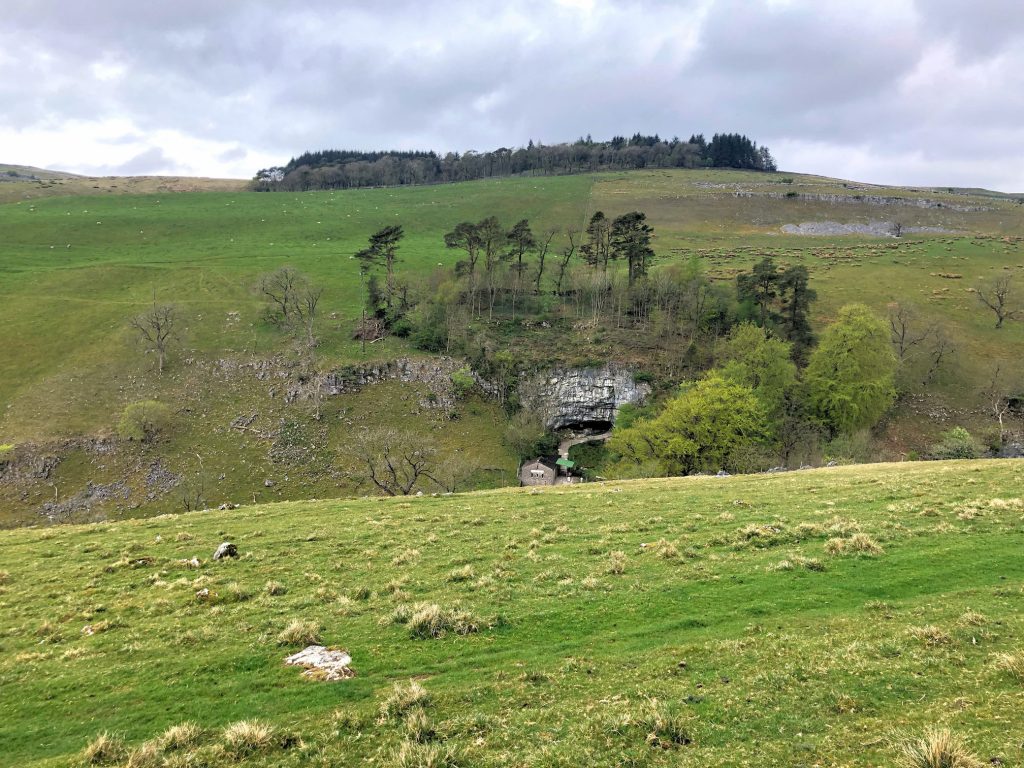
Looking down to Ingleborough Cave.
Footbridge over Clapham Beck.
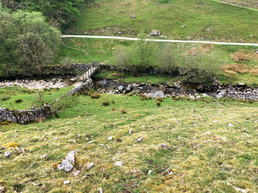
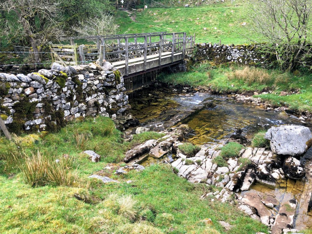
Clapham Beck.
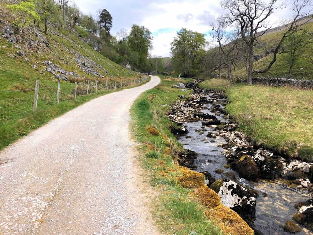
Clapdale Drive alongside Clapham Beck.
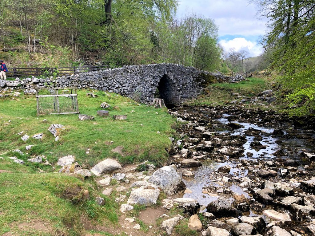
Beautiful stone bridge over Clapham Beck.


Ingleborough Cave.
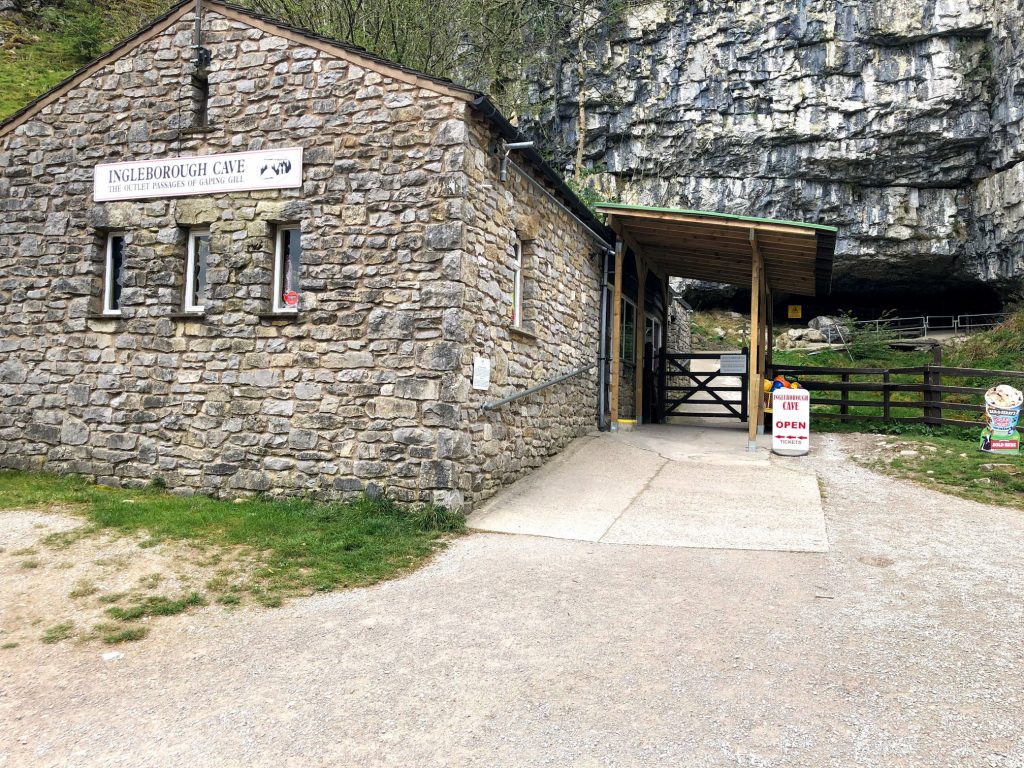
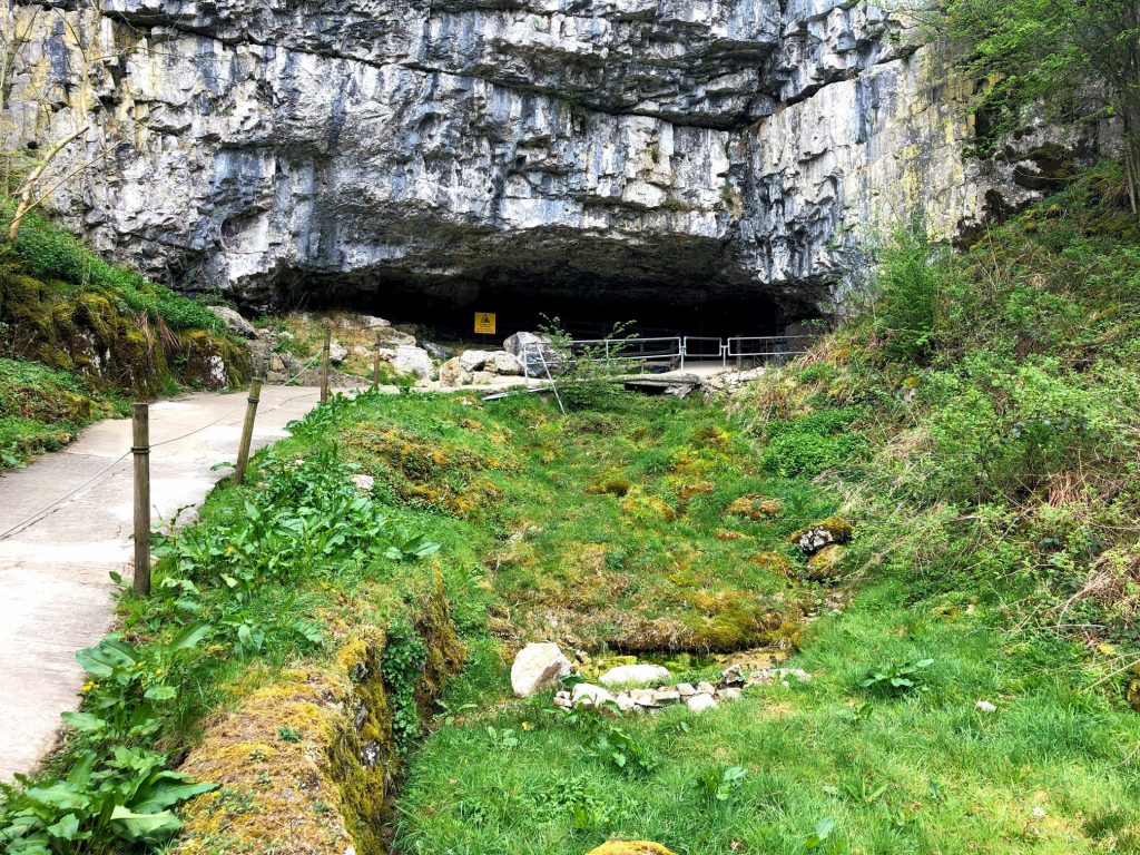
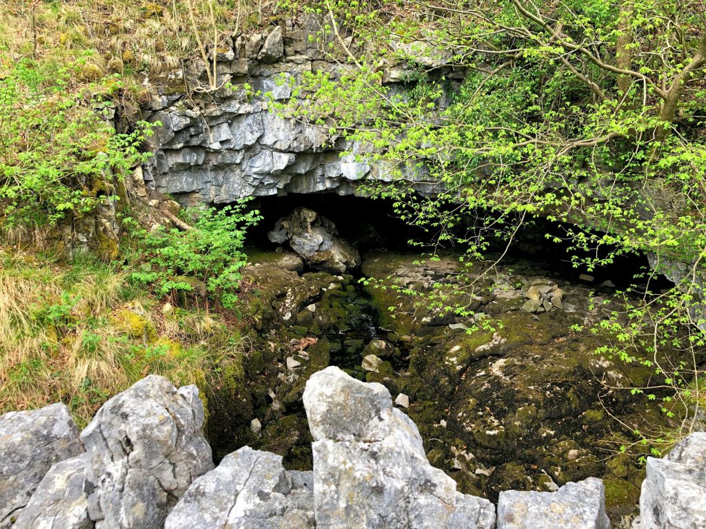
Clapham Beck emerging from a smaller opening in the rock face adjacent to Ingleborough Cave. The stream is created by Fell Beck, which falls down a deep shaft into Gaping Gill and flows south underground for about a mile.
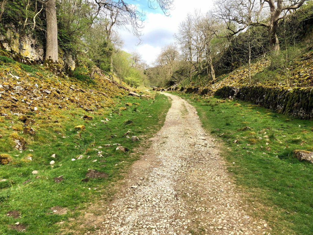
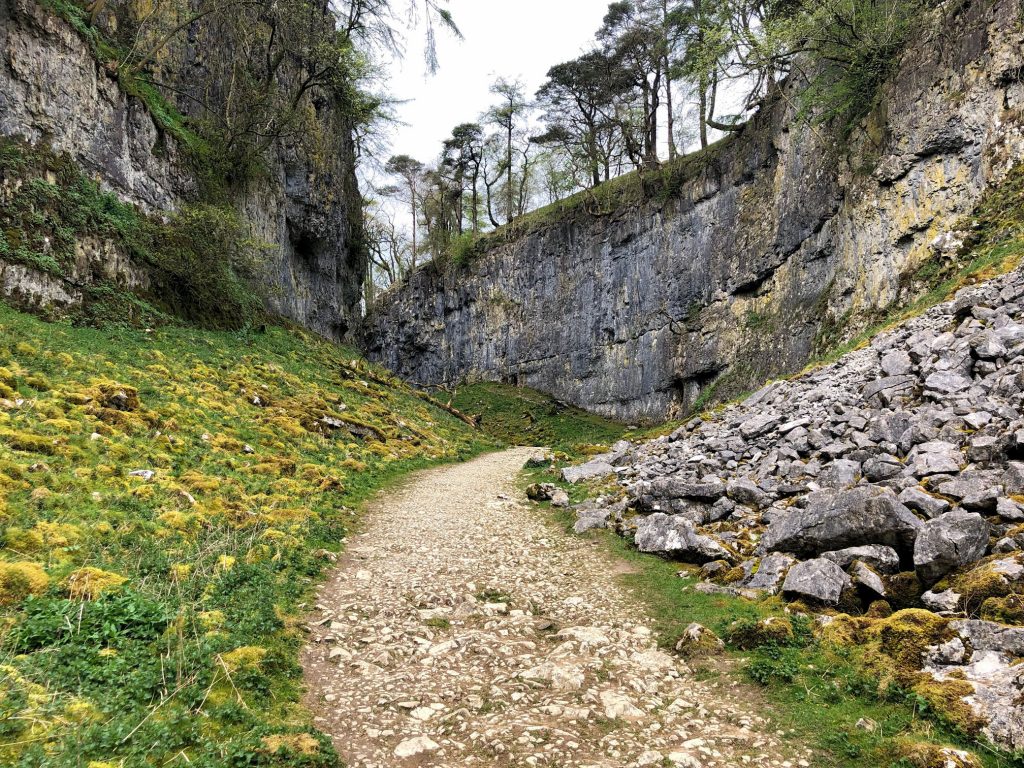
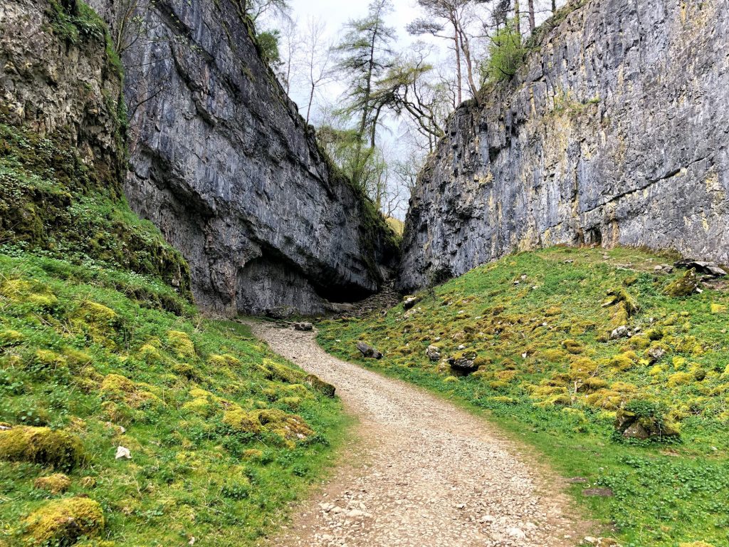
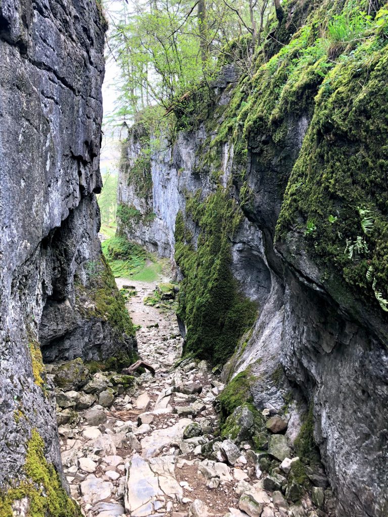
A Pennine Journey, heading to Trow Gill.
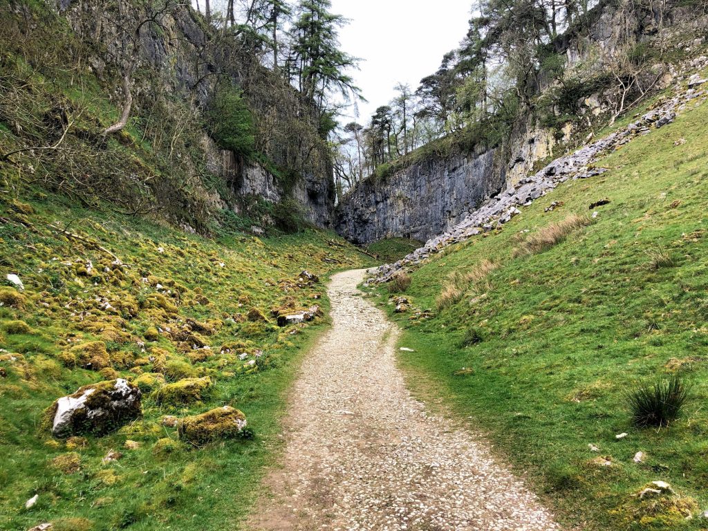
Trow Gill, a steep-sided dry gorge just north of Ingleborough Cave. The gorge was carved out by the melting waters of huge glaciers over a period of many thousands of years since the last ice age.
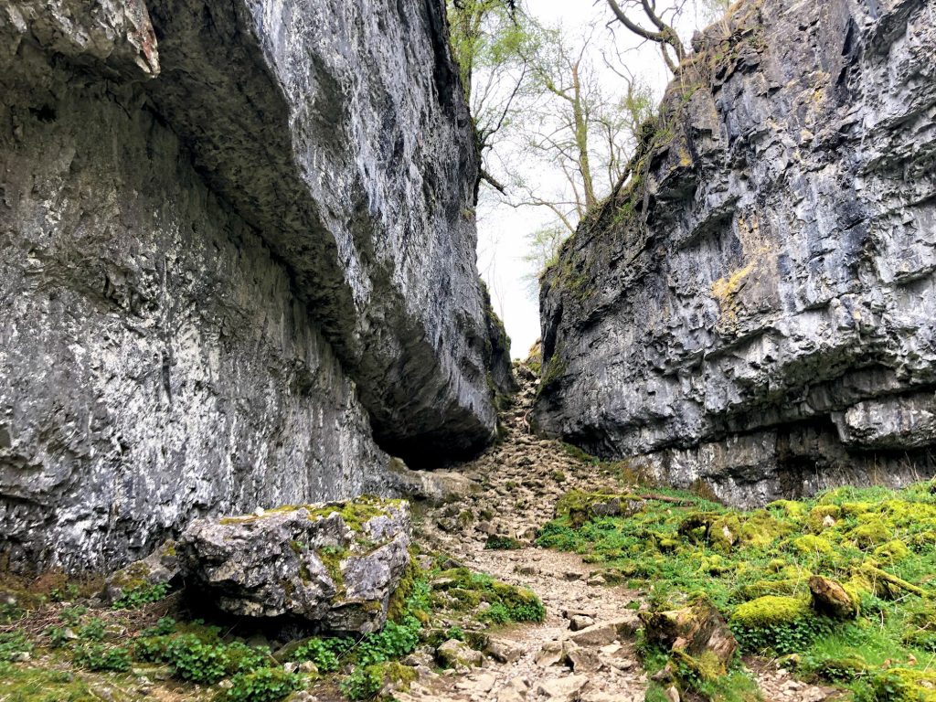
Looking back down the Trow Gill gorge towards Thwaite Scars.
Looking back down the narrow, steep-sided Trow Gill gorge.
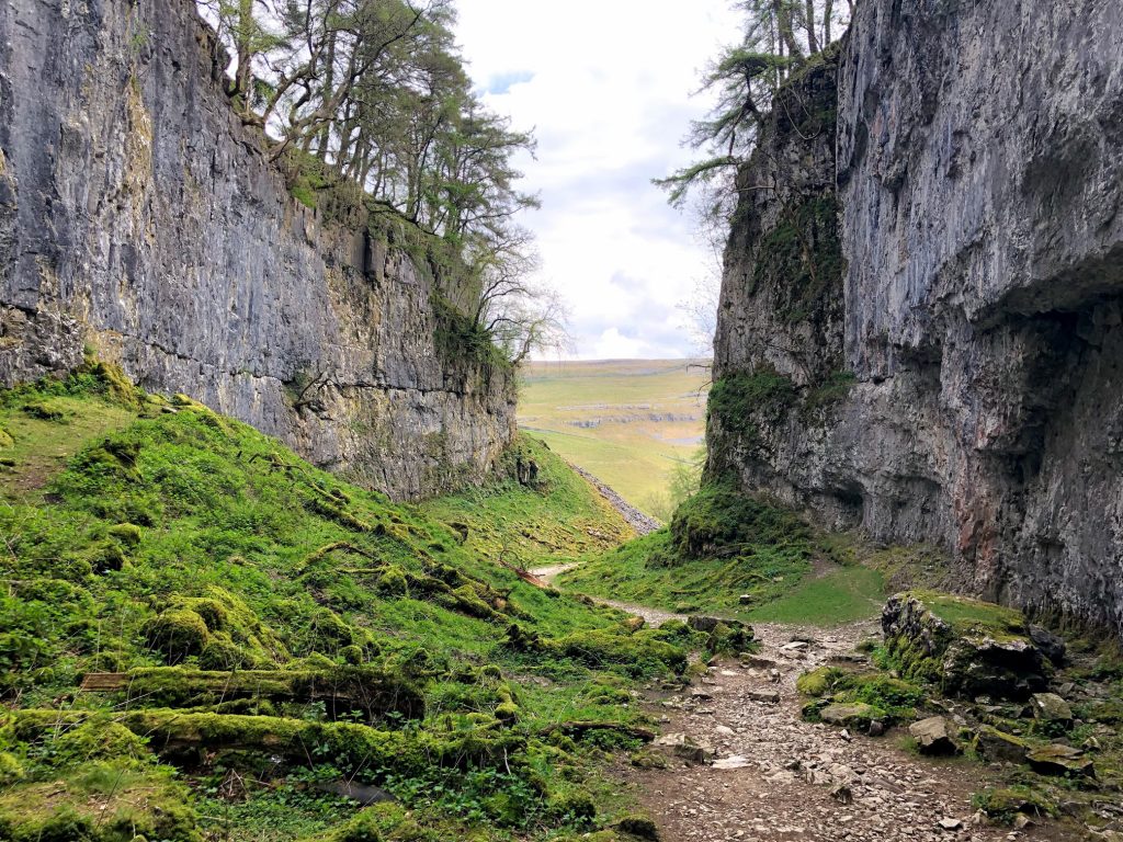
A Pennine Journey, north of Trow Gill.
Large pot hole by the side of A Pennine Journey, with Little Ingleborough and Ingleborough in the background.
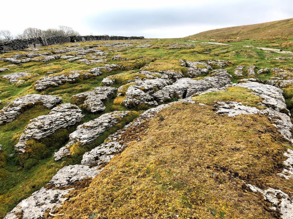
More limestone pavement, with Simon Fell in the background.
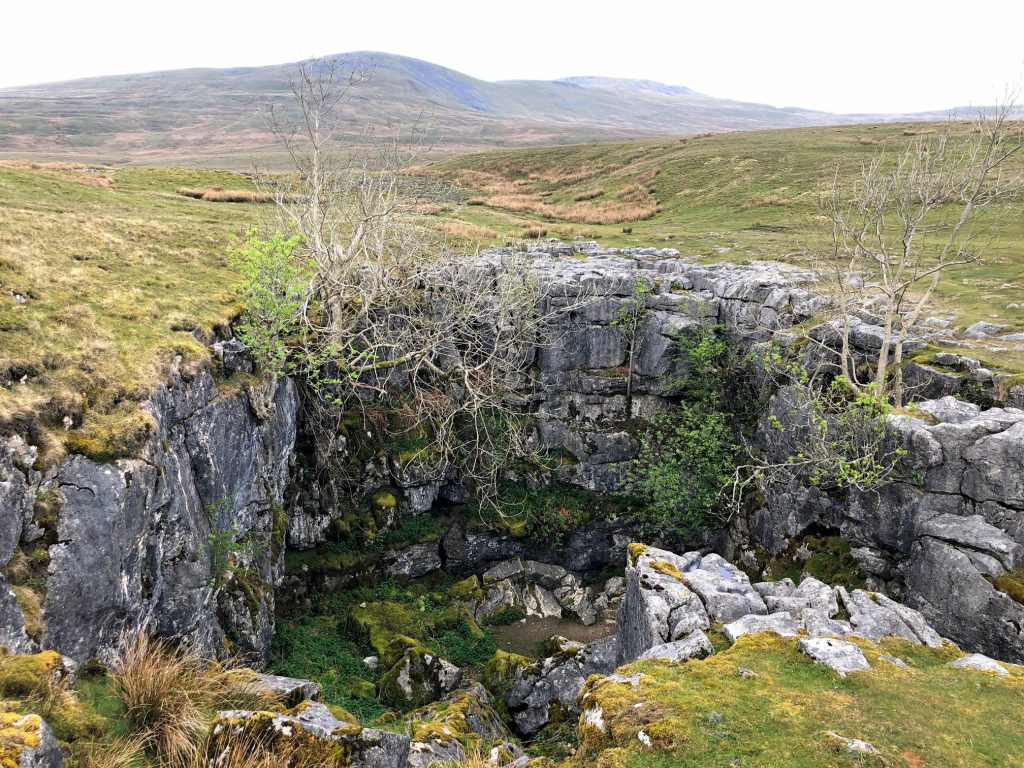
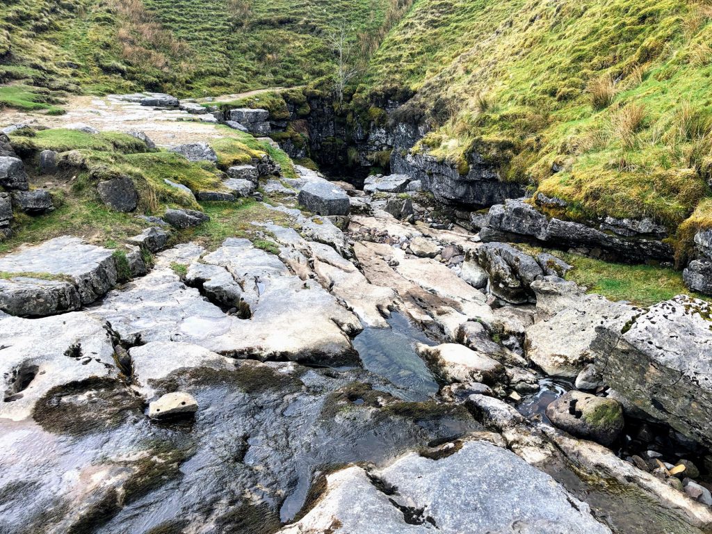
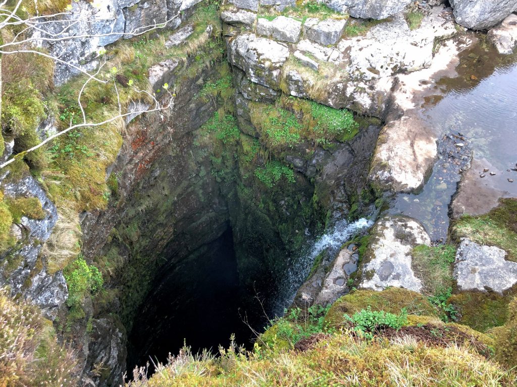
Fell Beck, flowing south towards Gaping Gill.

Fell Beck approaches the deep shaft at Gaping Gill.
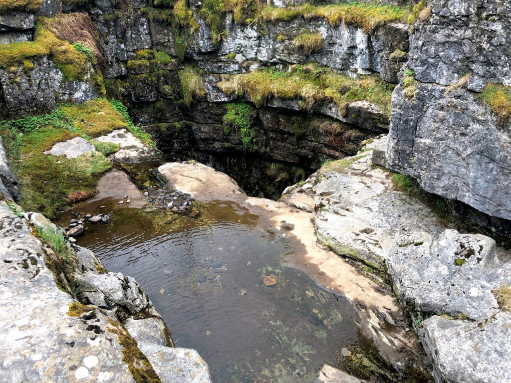
Fell Beck tumbles into the 100-metre-deep hole to create Britain’s highest unbroken waterfall. It then flows south underground for about a mile and emerges as Clapham Beck from an opening in the rocks next to the Ingleborough Cave entrance.
A brief history of Gaping Gill
The first attempt to descend Gaping Gill took place in 1845 when John Birkbeck of Settle was able to reach a ledge 55 metres down the shaft, known today as Birkbeck’s Ledge.
It wasn’t until 1895 when Gaping Gill was fully descended for the first time by the French speleologist Edouard Alfred Martel. He achieved this using a rope ladder and a candle for illumination. One hundred years later, in 1995, the Bradford Pothole Club celebrated this fine achievement by descending the pothole in period costume, using 100 metres of purpose built wood and rope ladder.
The Yorkshire Ramblers Club were next to visit Gaping Gill in 1896. They lowered cavers into the Main Chamber via a pulley system and explored the Main Chamber, discovering Old East Passage and West Chamber.
In 1908 the Yorkshire Speleological Association discovered South Passage and many of the other passages in its vicinity. They also discovered a new entrance into the system, ‘Flood Exit’ Pot. There are currently ten other entrances into the Gaping Gill system.
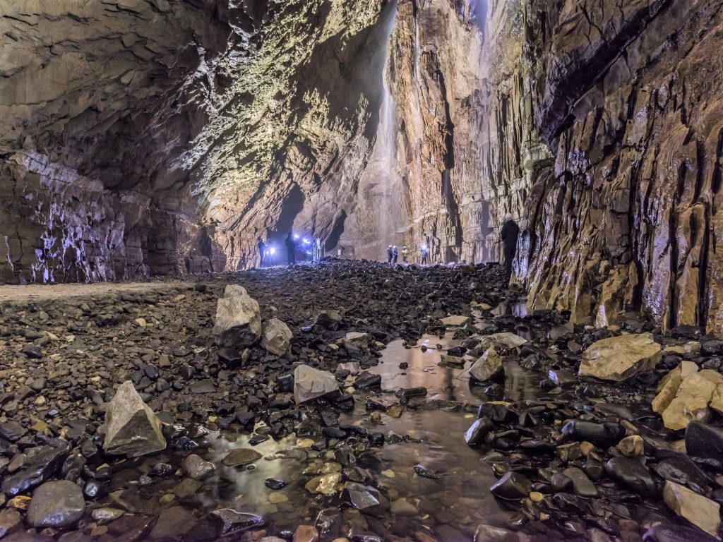
After many years of exploration, the dream of making the connection between Gaping Gill and Ingleborough Cave was finally realised in 1983 by teams of cavers from the Bradford Pothole Club and Cave Diving Group. A detailed 3D model of the chamber has been created using an industrial laser rangefinder which showed that its volume is comparable to the size of York Minster.
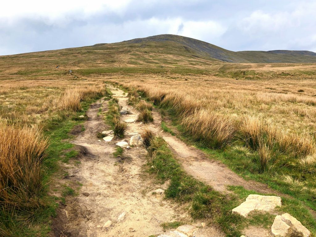
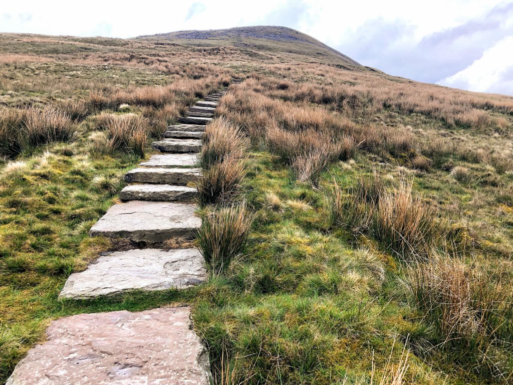
The route to Little Ingleborough.
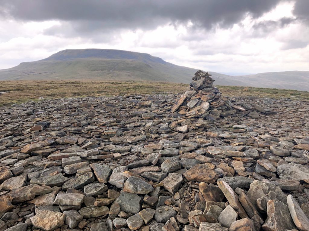
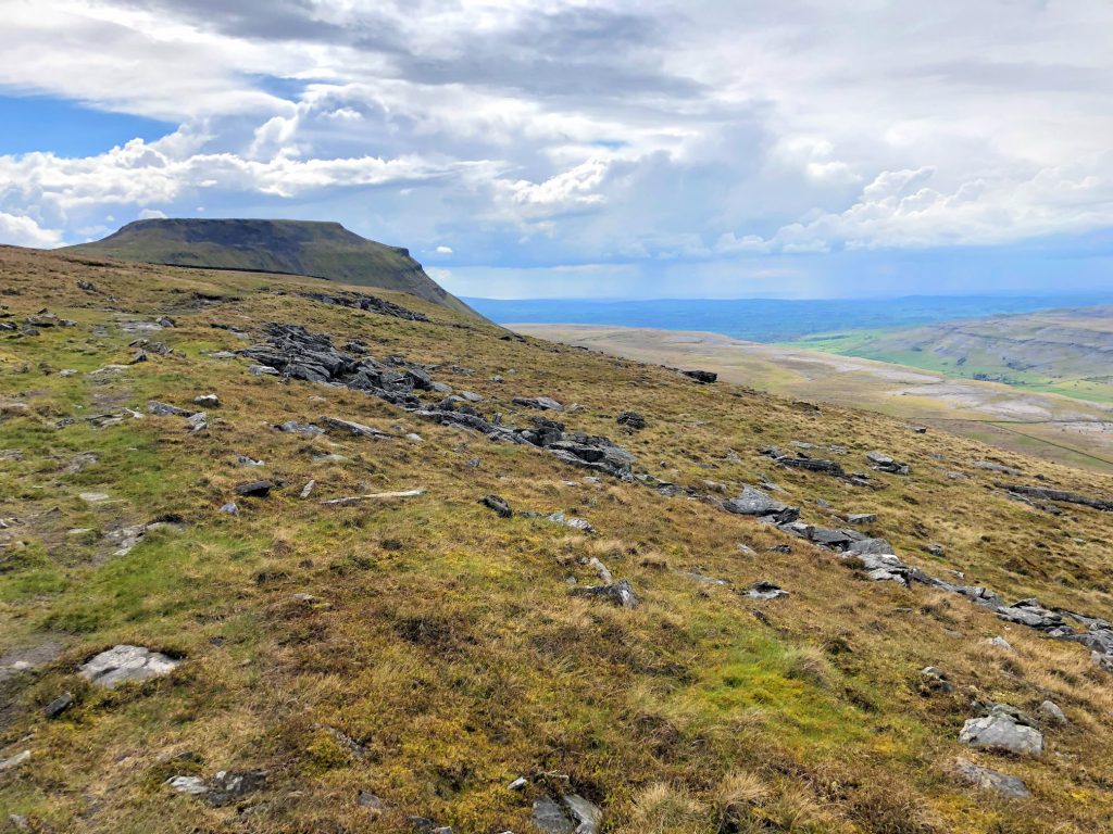
Cairn at the top of Little Ingleborough. In the background is Ingleborough.
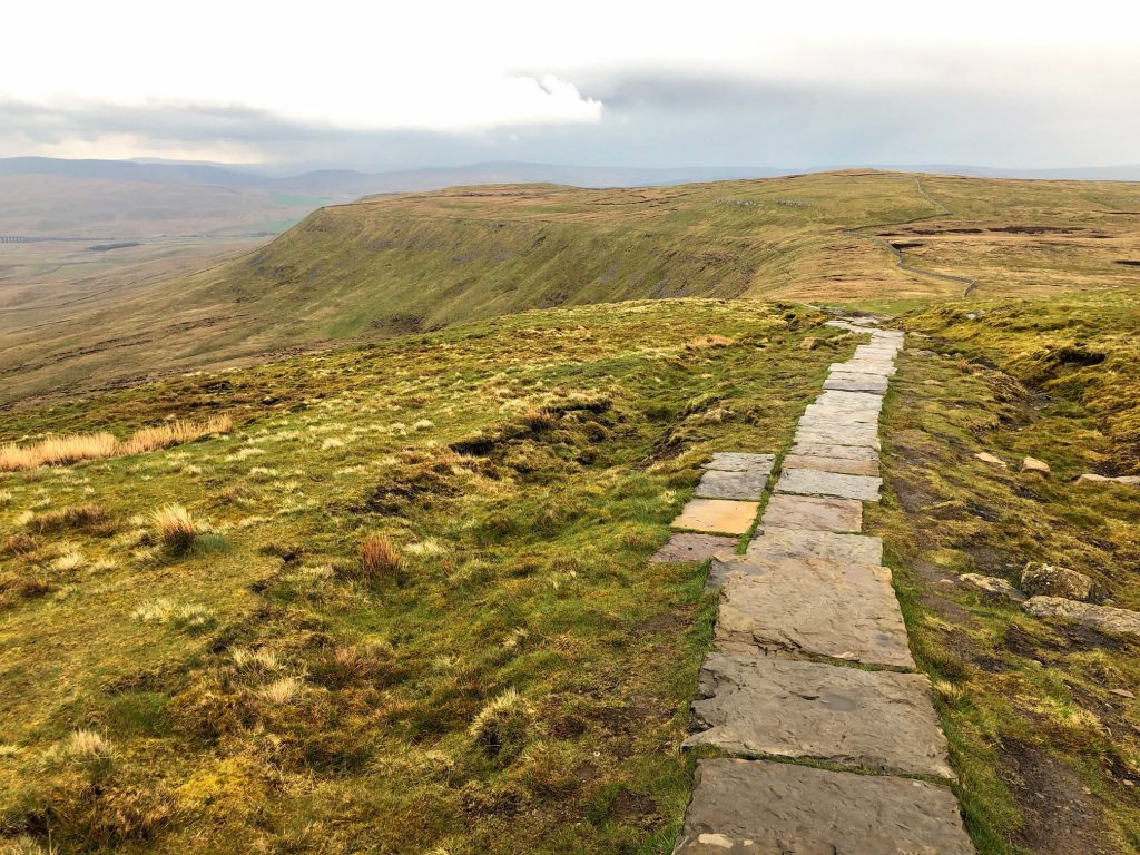
Heading north-east to join the Ingleborough Ridge Walk.
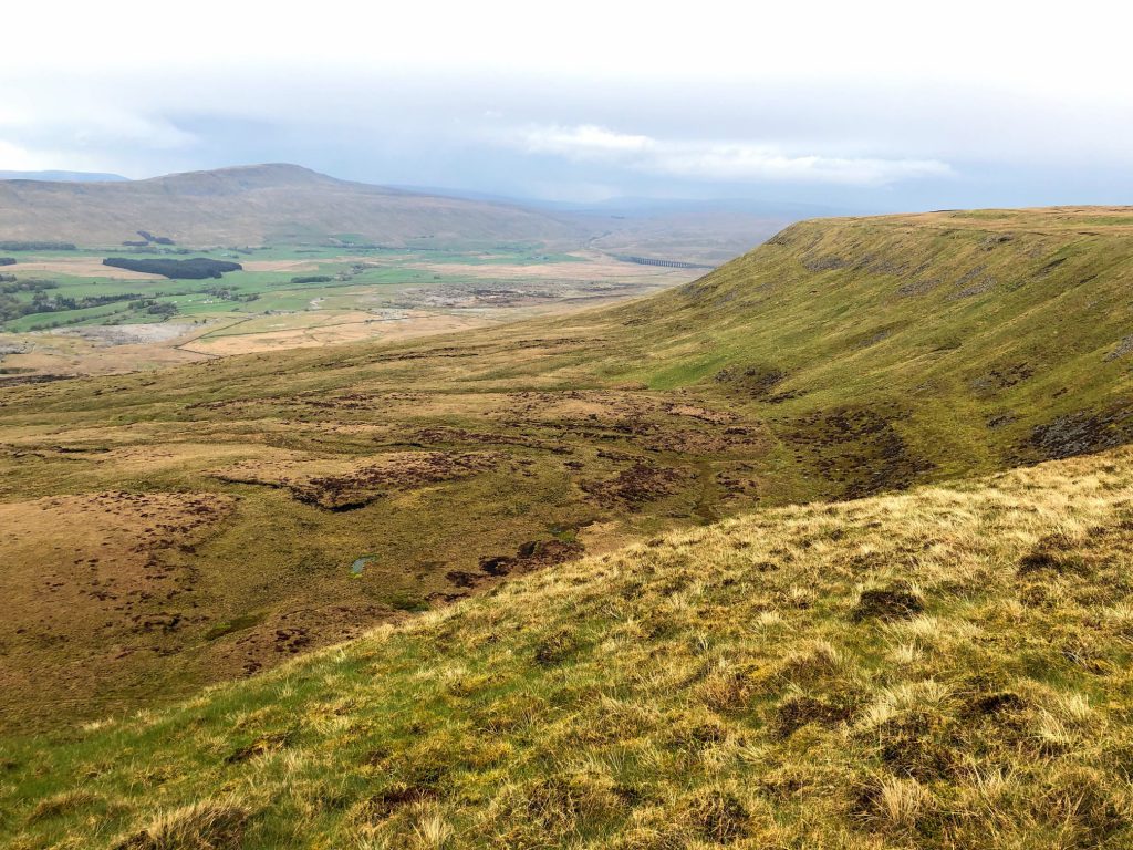
Humphrey Bottom as seen from the Ingleborough Ridge Walk. In the distance is Whernside (left) and Ribblehead Viaduct (centre).
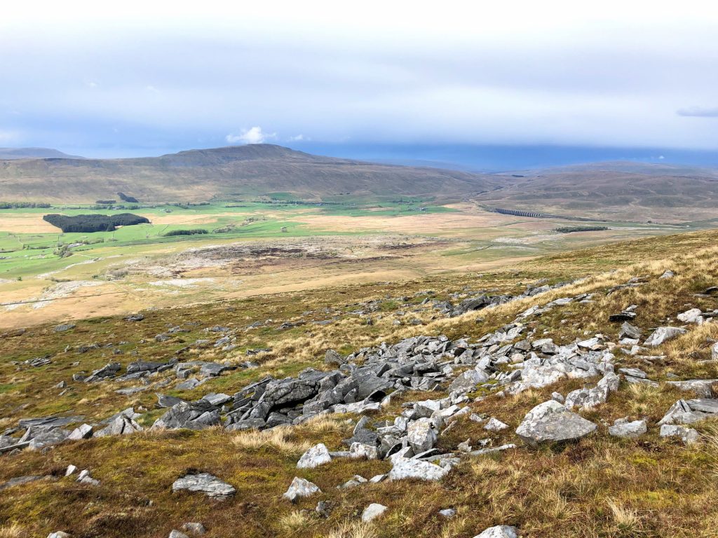
The view north to Whernside and Ribblehead Viaduct.
Looking back to Ingleborough. It’s as if the imposing mountain is watching over the valley below.
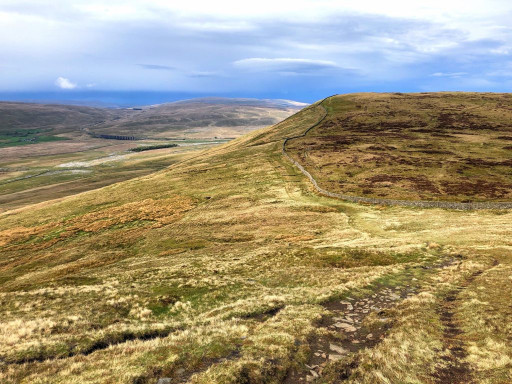
Approaching Park Fell on the Ingleborough Ridge Walk.
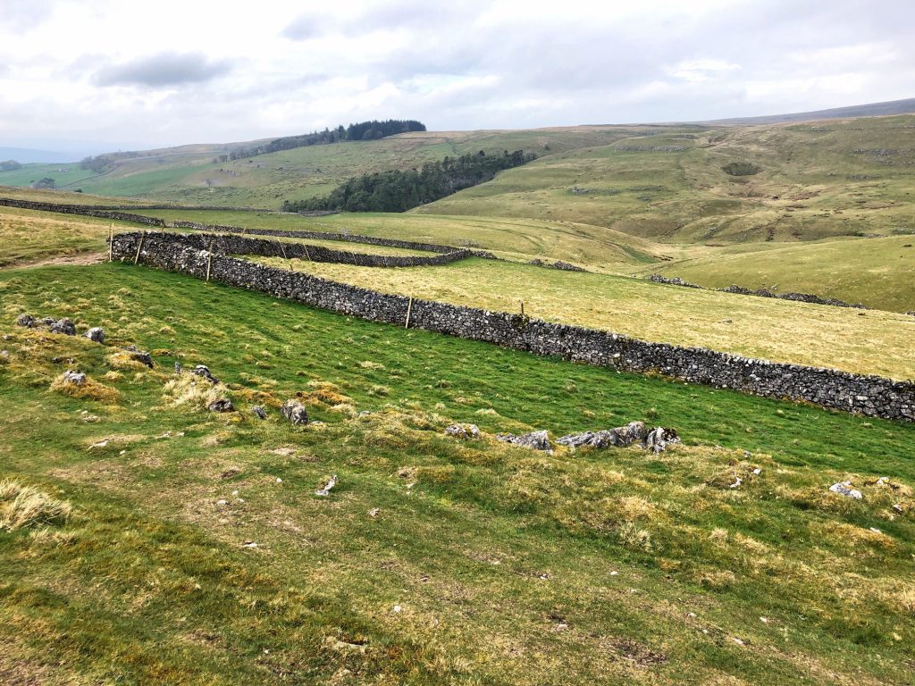
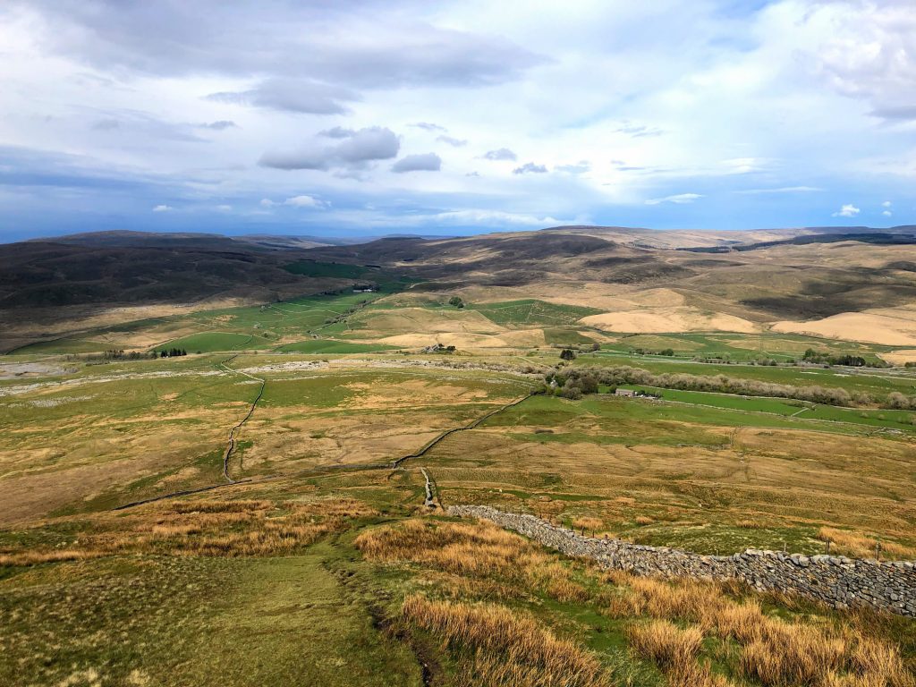
Descending Park Fell to reach Colt Park.
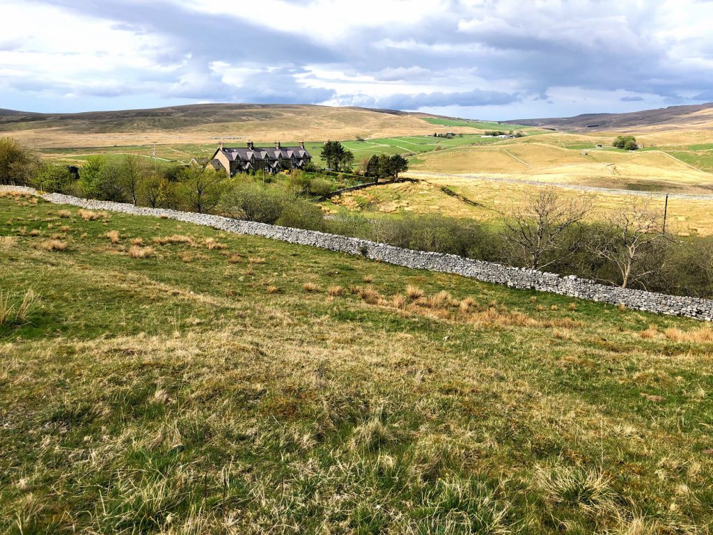
Railway houses by the side of the Settle to Carlisle railway line (just beyond the wall).