South-east from Reeth to Grinton, followed by a climb to High Harker Hill on Harkerside Moor. Continuing west to Whitaside Moor, then north-west to the waterfalls of Haverdale Beck near Crackpot. East on paths and tracks beneath the moors to Grinton, and north-west back to Reeth. A 13-mile walk in the Yorkshire Dales.
Recommended Ordnance Survey Map
The best map to use on this walk is the Ordnance Survey map of the Yorkshire Dales Northern & Central Area, reference OS Explorer OL30, scale 1:25,000. It clearly displays footpaths, rights of way, open access land and vegetation on the ground, making it ideal for walking, running and hiking. The map can be purchased from Amazon in either a standard, paper version or a weatherproof, laminated version, as shown below.
Standard Version
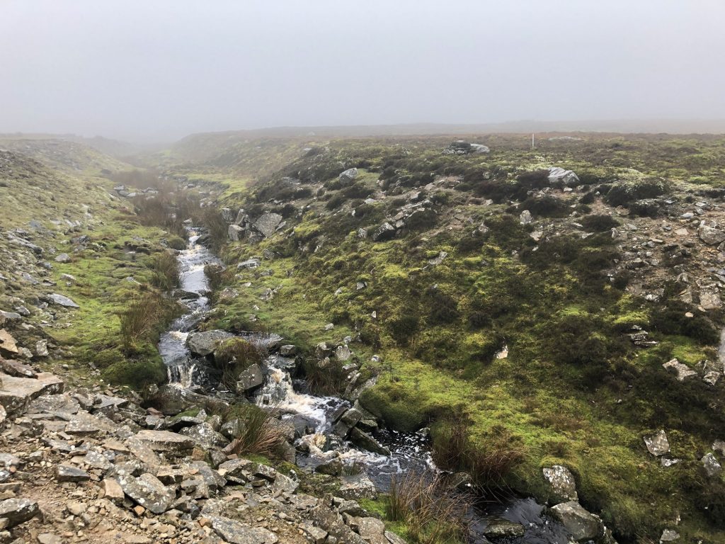
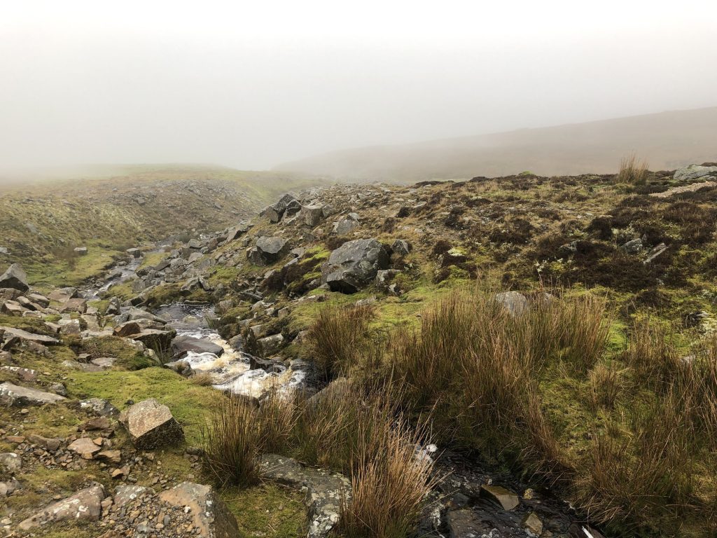
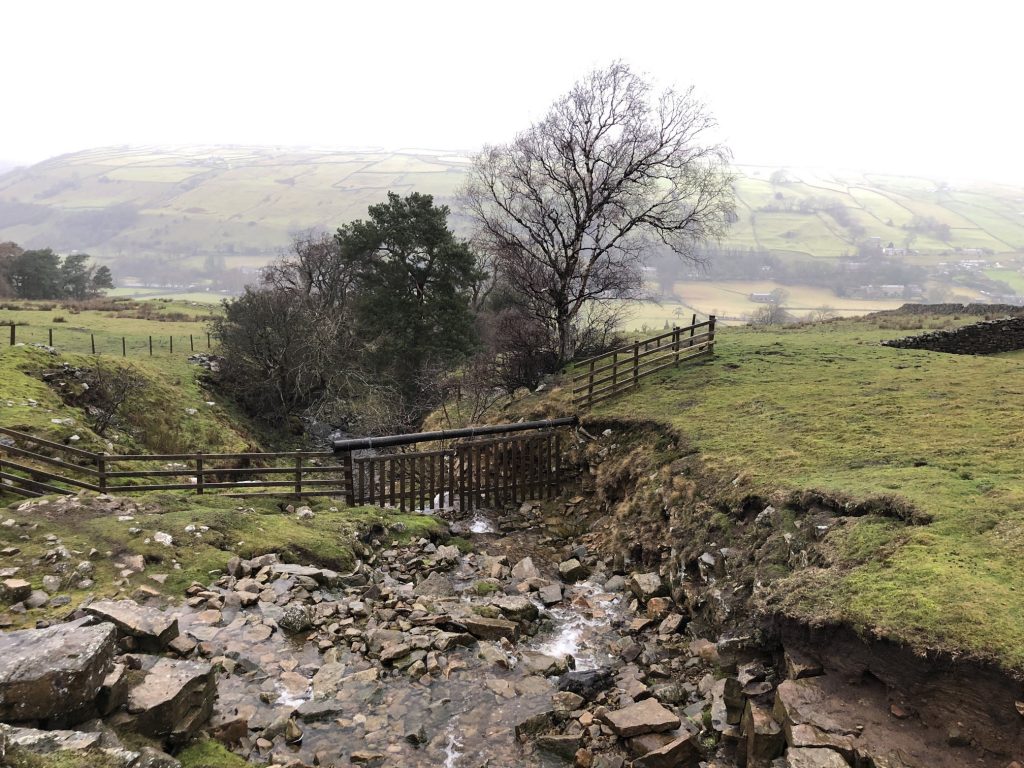
Crag Sike, Whitaside Moor.
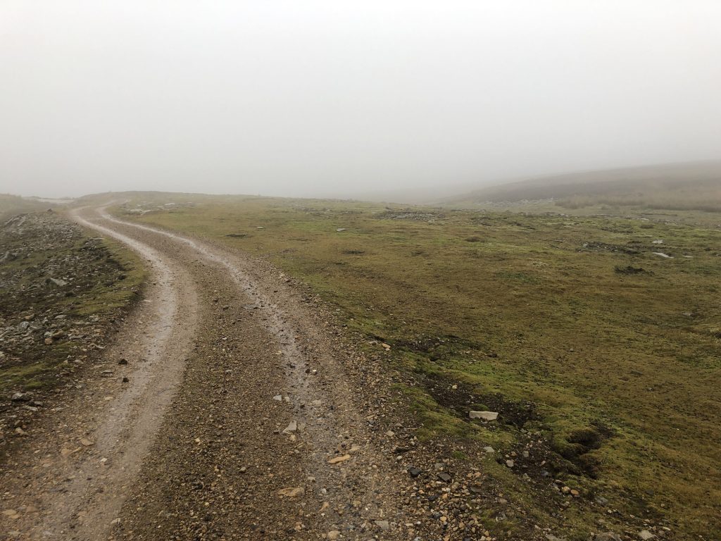
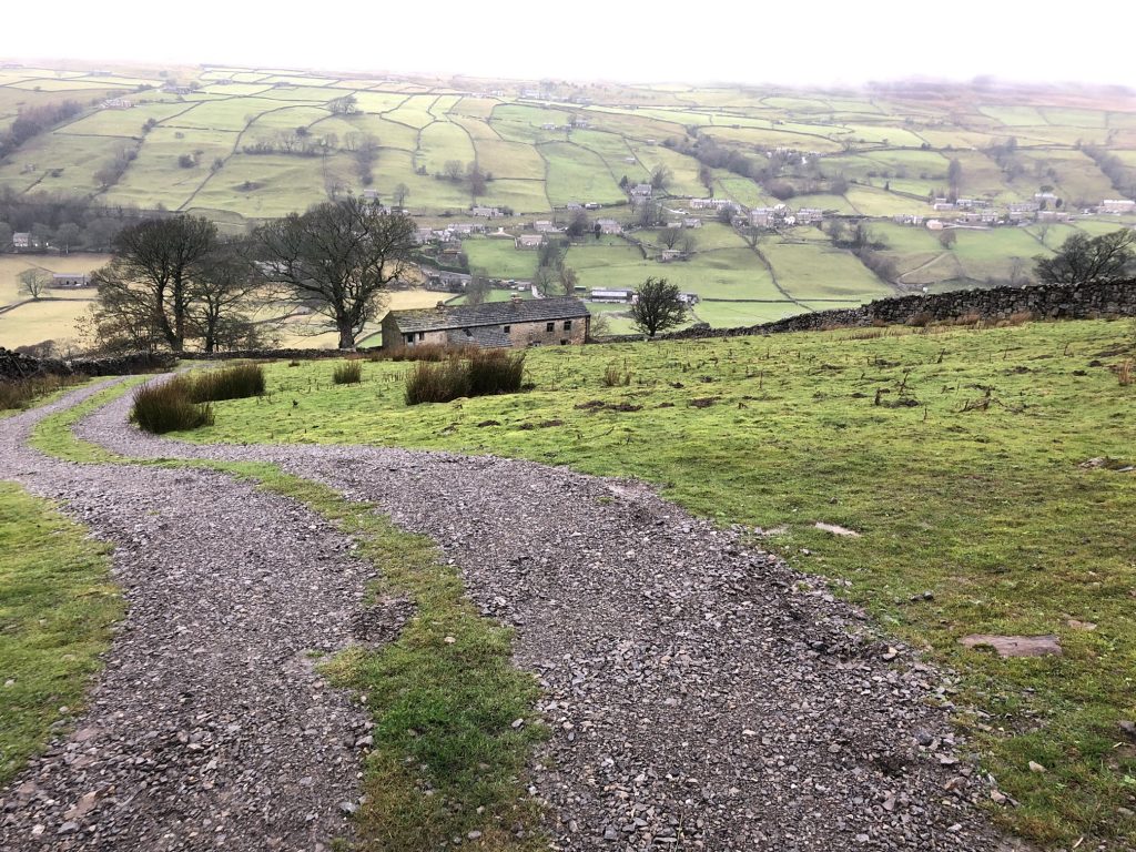
Track across Whitaside Moor near Crackpot, Swaledale.
Crag Sike, Whitaside Moor.
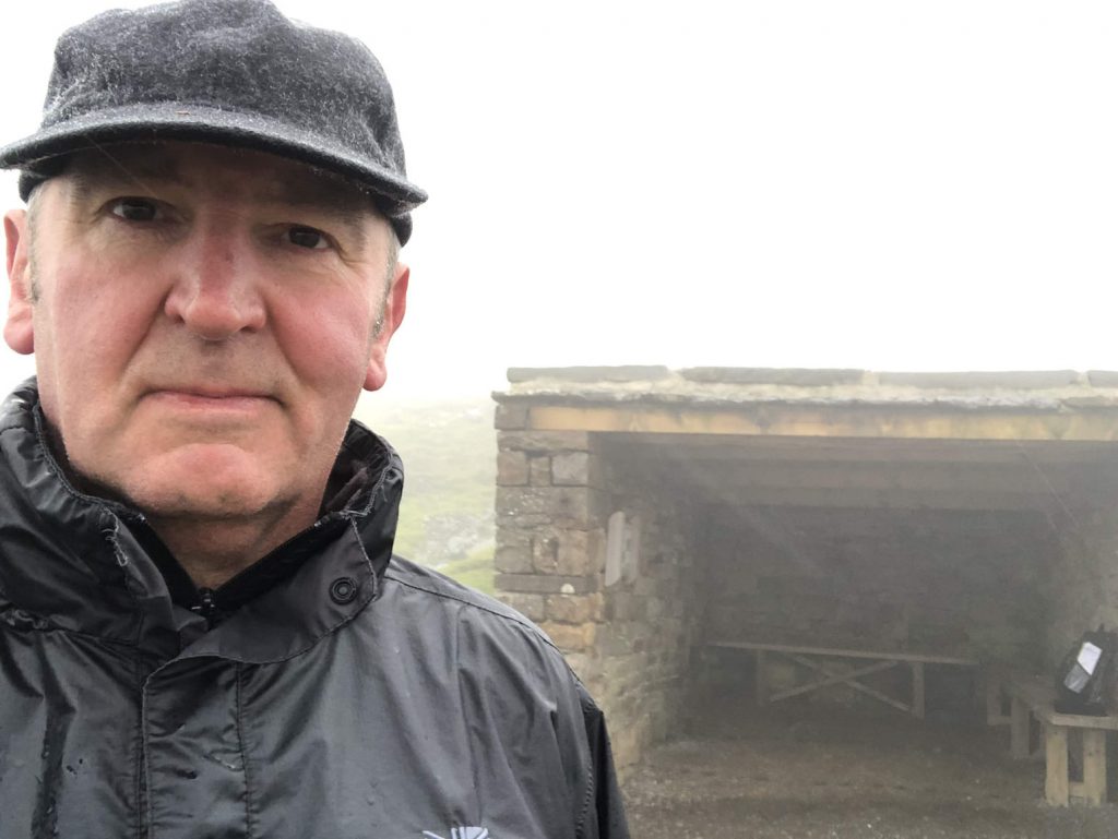
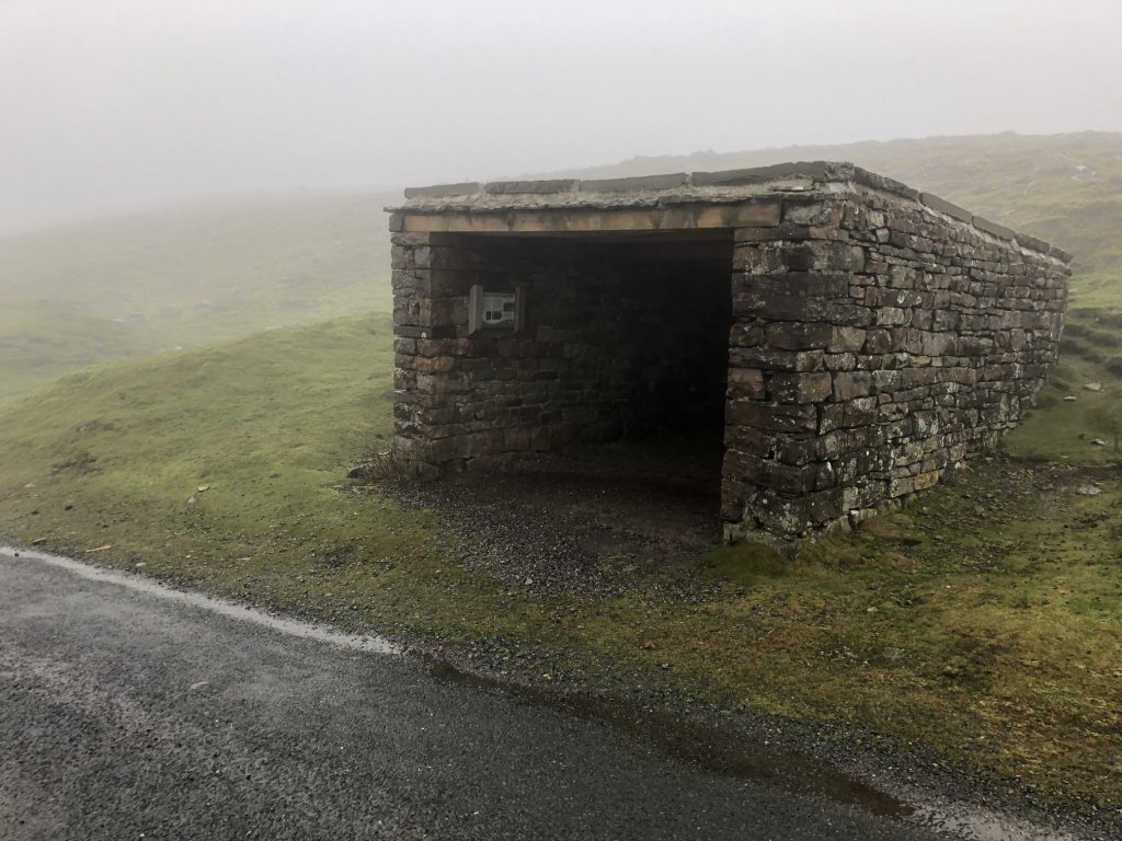
Sunter’s garage shelter
This little shelter was once a garage belonging to a nearby farm. In the late 1940s when farmer Joseph Sunter bought his first motor car, a Standard Twelve, there was no track down to the farm so the car had to be garaged up at the roadside. Joseph and his family would ride home over the moor on a tractor once the car was safely locked away.
Joseph’s son Brian remembers helping his dad build the garage and the excitement of driving down to the Friday market in Leyburn in their new car. Eventually a track was laid down to the farm and the little garage was no longer needed. It fell into disrepair until Joseph’s grandson Norman and the local ranger hit upon the idea of turning it into a shelter for cyclists and walkers.
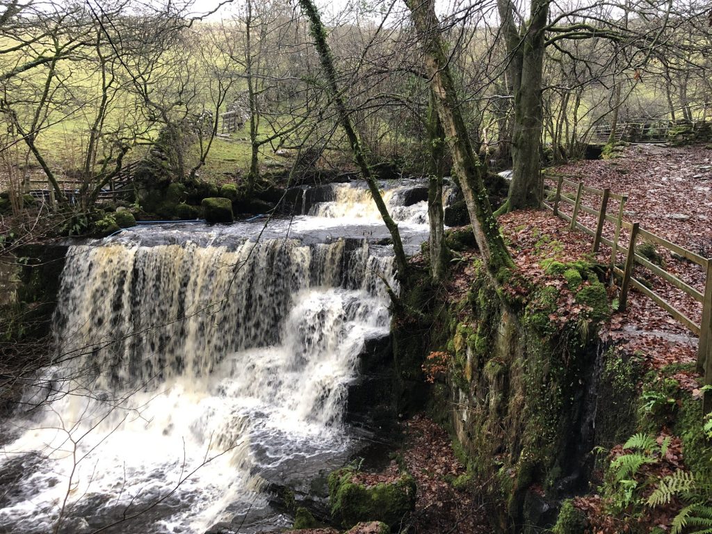
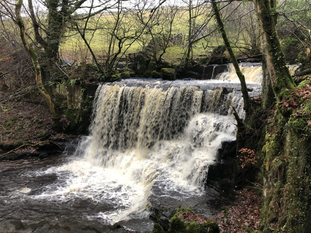
Haverdale Beck near Crackpot, Swaledale.
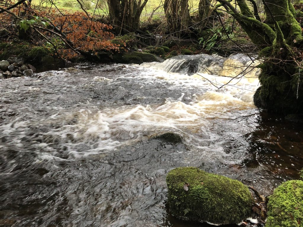
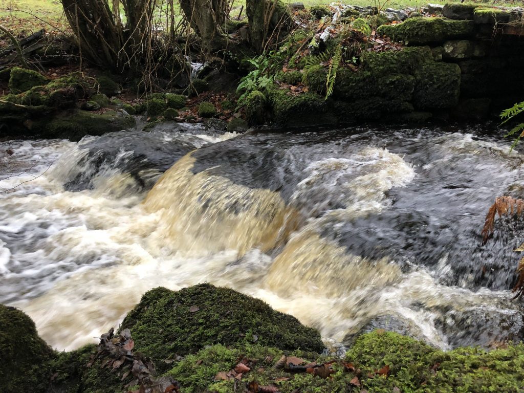
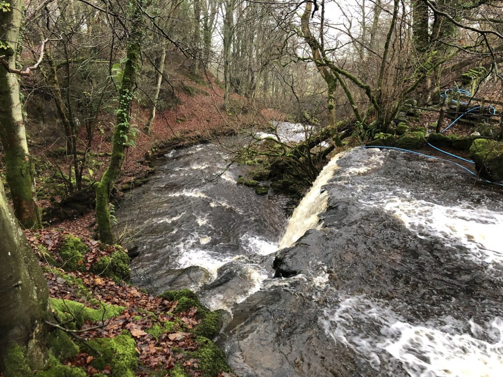
Haverdale Beck waterfalls near Crackpot, Swaledale.
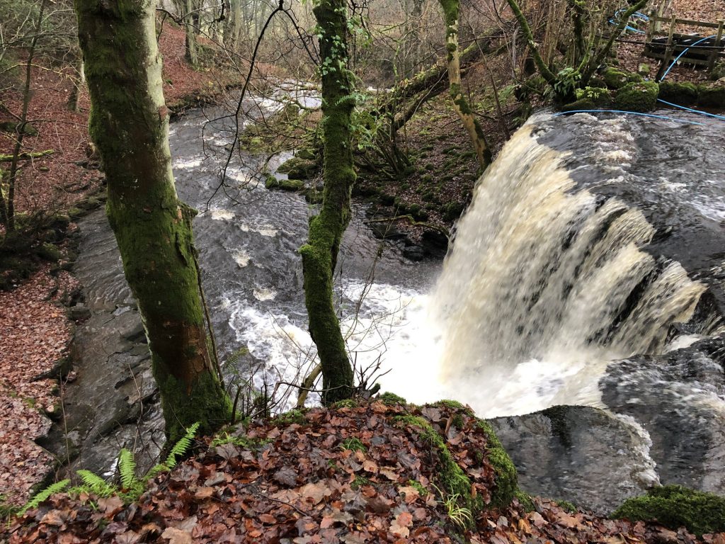
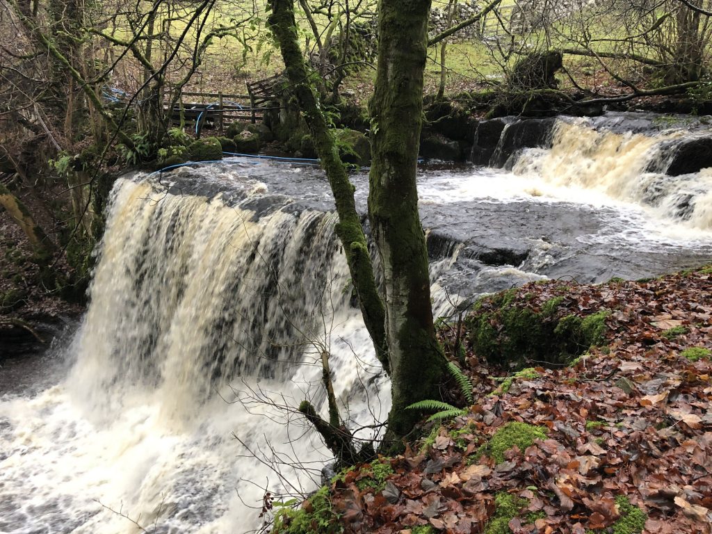
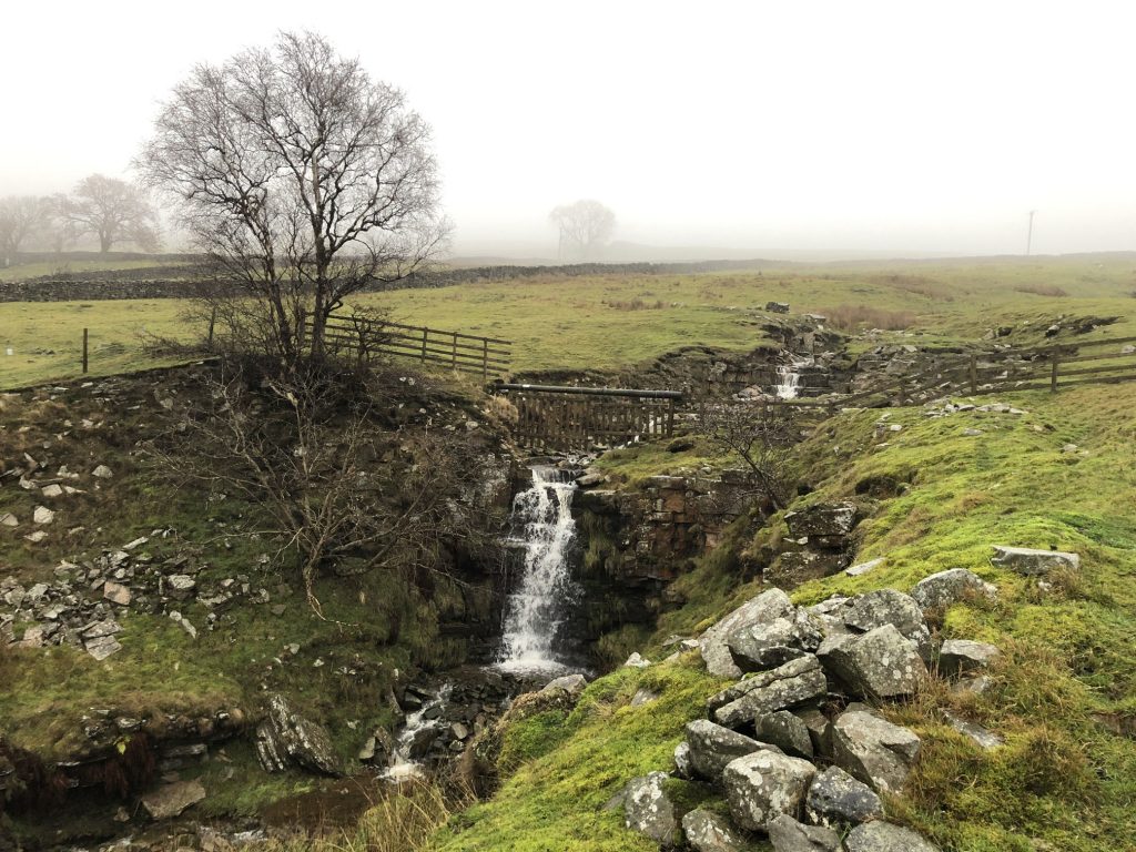
Waterfalls near High Whitaside, Swaledale.
The view down to Low Row, Swaledale.
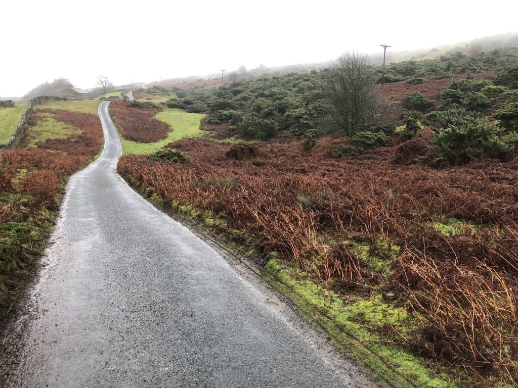
High Lane, on the south side of the River Swale, leading to Grinton.