North from Bolton Bridge on the Dales Way to Wooden Bridge, then north-east via Bolton Park Farm to Broadshawe. North-west across Barden Fell, through woodland to Howgill, and on to meet the River Wharfe. Back to Wooden Bridge along the Dales Way and other permissive footpaths, following the river on its east side. Finally south to the starting point through the Bolton Abbey estate and alongside the B6160 road. A 12-mile walk in the Yorkshire Dales.
Recommended Ordnance Survey Map
The best map to use on this walk is the Ordnance Survey map of the Yorkshire Dales Southern & Western Area, reference OS Explorer OL2, scale 1:25,000. It clearly displays footpaths, rights of way, open access land and vegetation on the ground, making it ideal for walking, running and hiking. The map can be purchased from Amazon in either a standard, paper version or a weatherproof, laminated version, as shown below.
Standard Version
Stepping stones across the River Wharfe at Bolton Abbey.
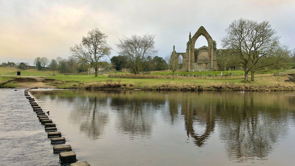
Stepping stones and footbridge across the River Wharfe at Bolton Abbey.
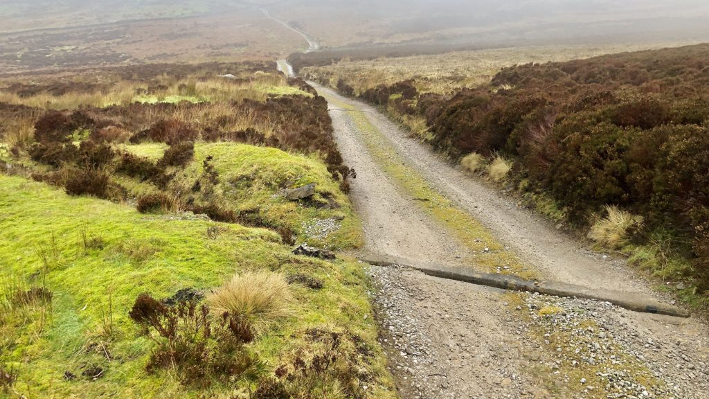
The track north across Hazlewood Moor to Broadshawe.
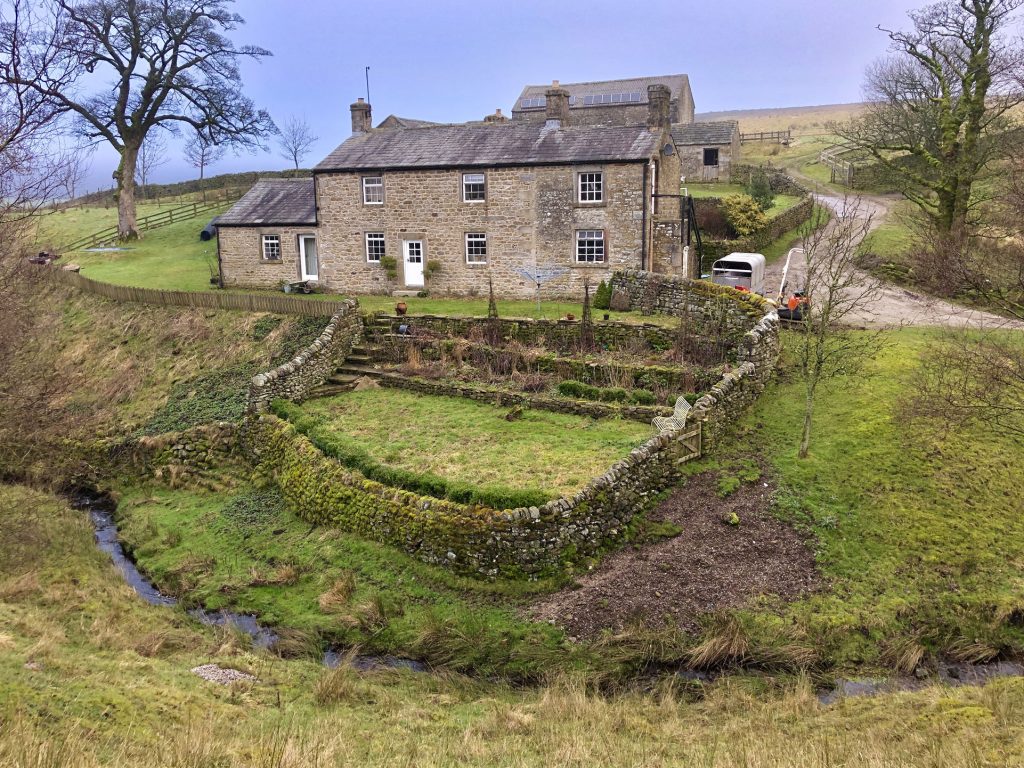
Broadshawe, on the south side of Barden Fell.
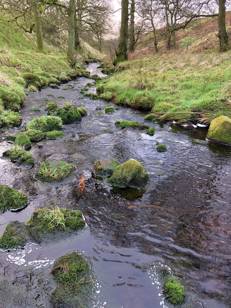
Hudson Gill Beck, just north of Broadshawe.
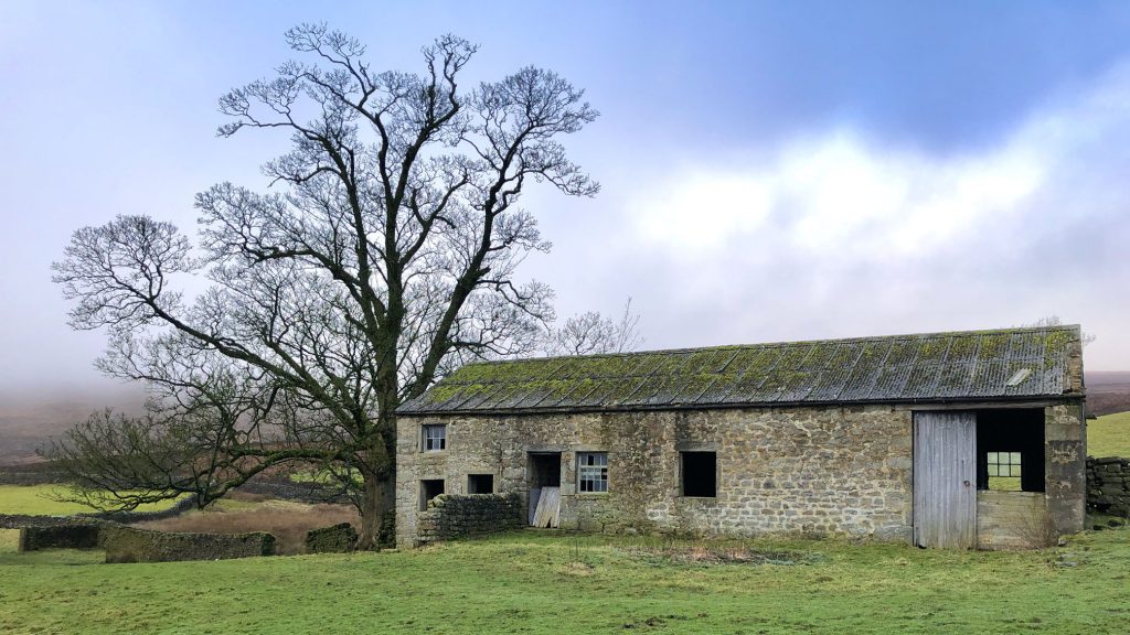
Agill House, a derelict farmhouse near Broadshawe.
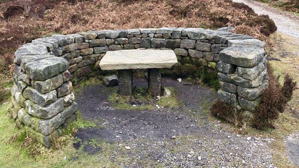
A lovely shelter and table on Barden Fell, but where are the chairs?
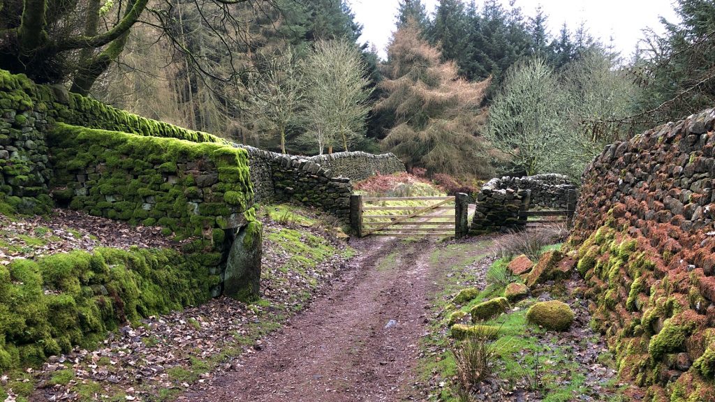
One of the tracks off Barden Fell, leading to Howgill. I was struck by the variety of beautiful colours.
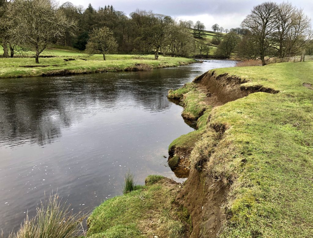
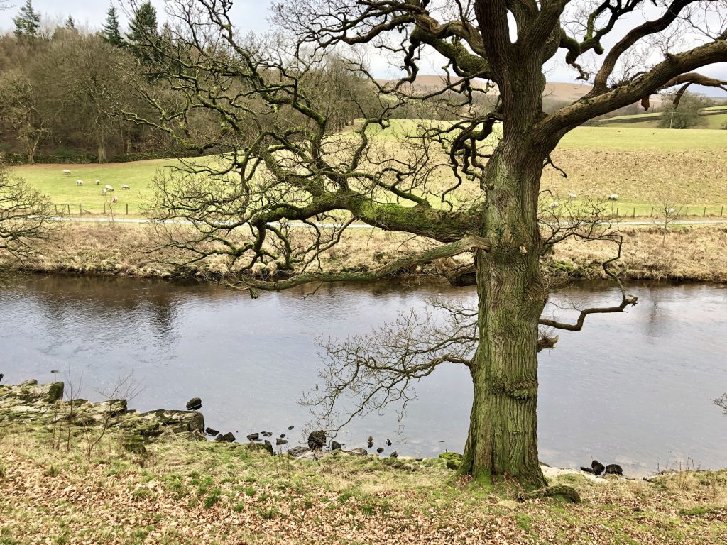
The River Wharfe just north of Barden Bridge.
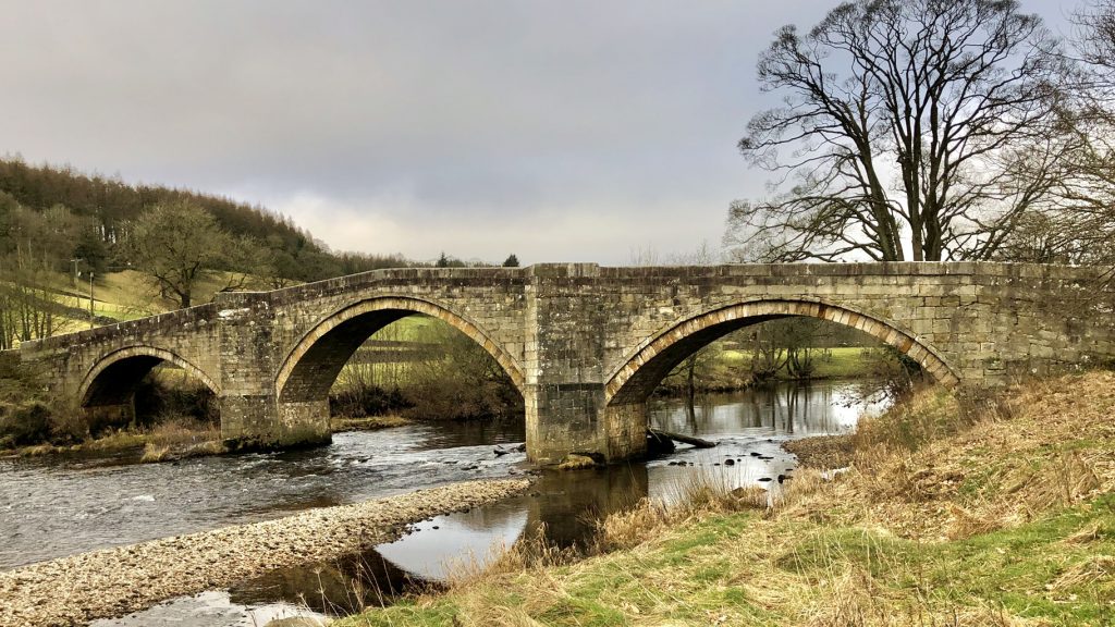
Barden Bridge over the River Wharfe.
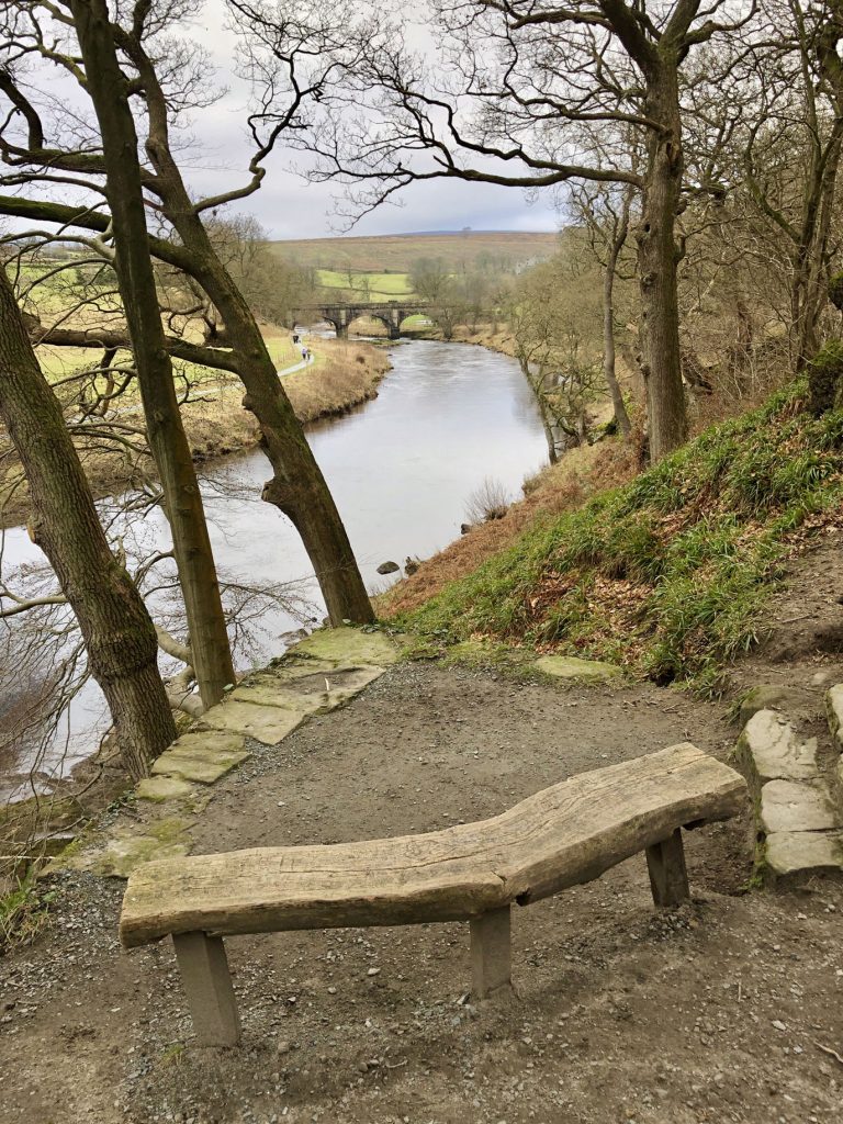
Stone settee by the side of the River Wharfe.

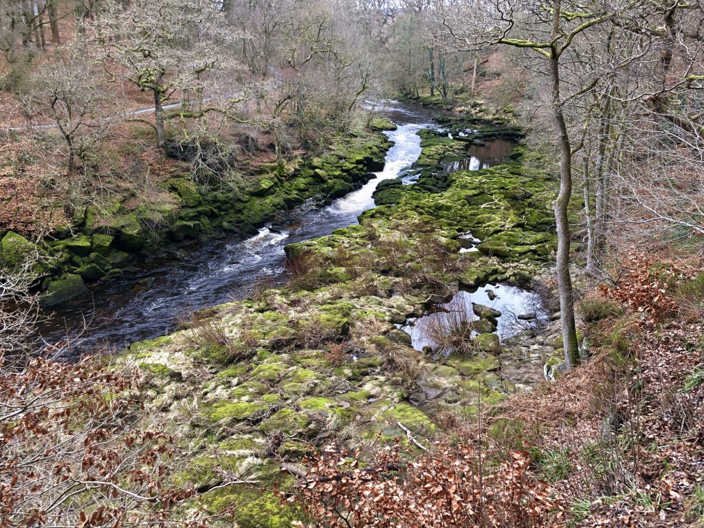
Upstream of The Strid, the River Wharfe is calm and wide, but that’s about to change just a few metres further on.
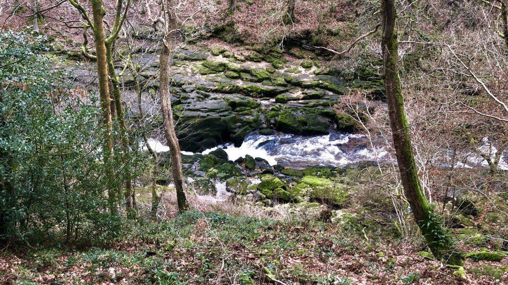
At The Strid, in two places in particular, the River Wharfe narrows abruptly and rapids form as the water forces its way through deep underwater channels.
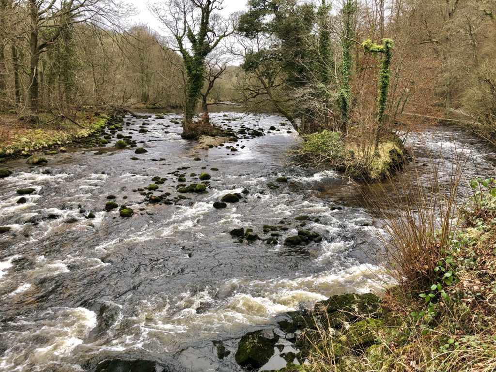
The River Wharfe just north of Wooden Bridge. Two islands separate the waters into three distinct passageways.
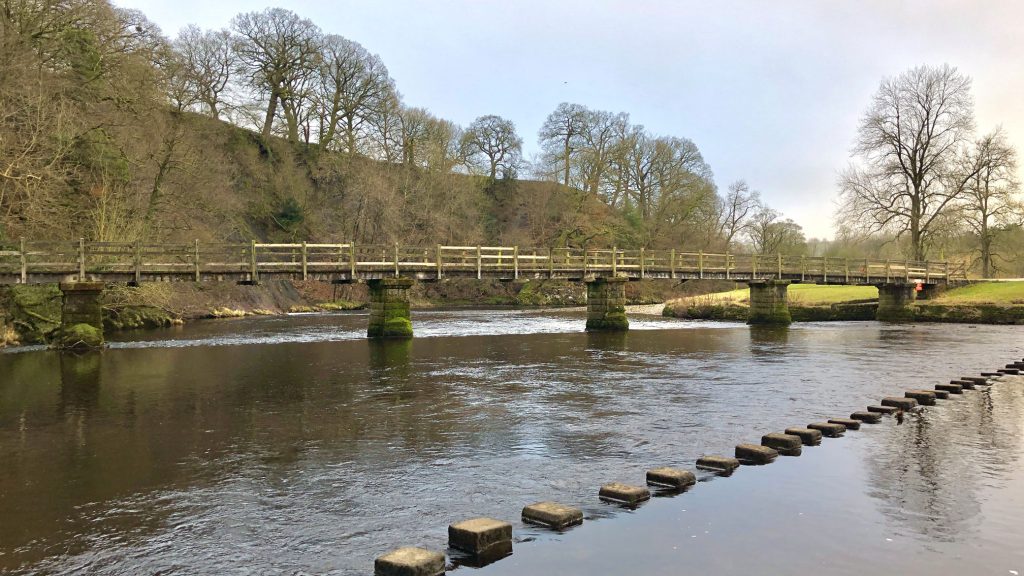
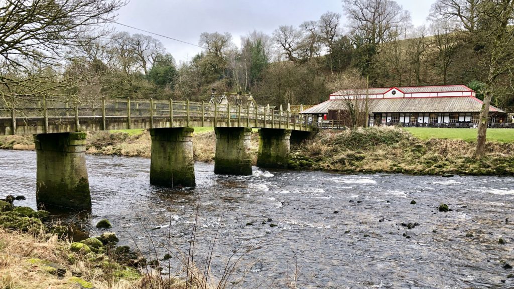
Wooden Bridge on the estate of Bolton Abbey.
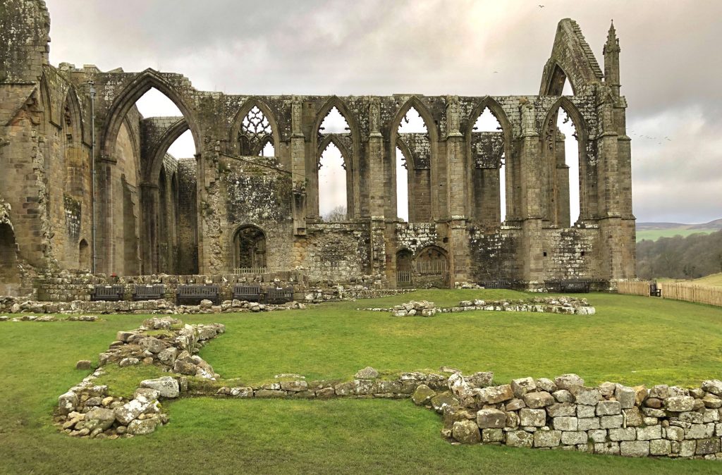
The remains of Bolton Priory at Bolton Abbey.