West from Leyburn via Leyburn Shawl to Preston-under-Scar, then on to Castle Bolton. South-east through Redmire to the River Ure, followed by an easterly walk past Bolton Hall to Wensley. Further east over fields to Low Wood Lane, and north back to Leyburn. A 12-mile walk in Northern England.
Recommended Ordnance Survey Map
The best map to use on this walk is the Ordnance Survey map of the Yorkshire Dales Northern & Central Area, reference OS Explorer OL30, scale 1:25,000. It clearly displays footpaths, rights of way, open access land and vegetation on the ground, making it ideal for walking, running and hiking. The map can be purchased from Amazon in either a standard, paper version or a weatherproof, laminated version, as shown below.
Standard Version
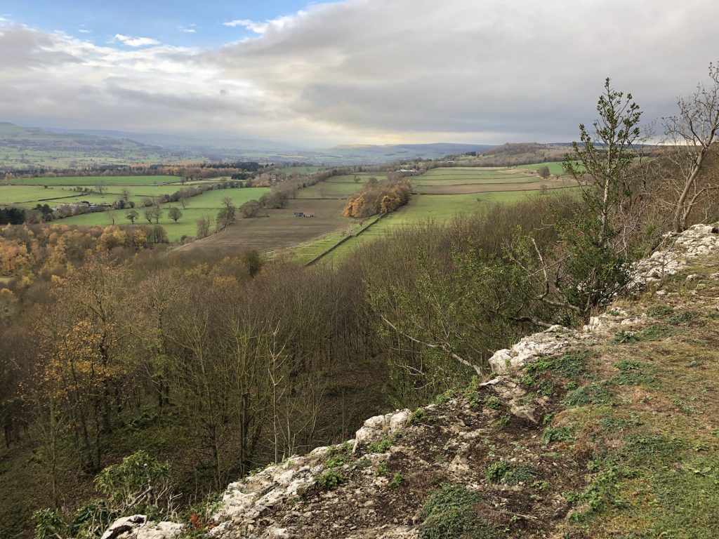
The view west over Wensleydale from Leyburn Shawl.
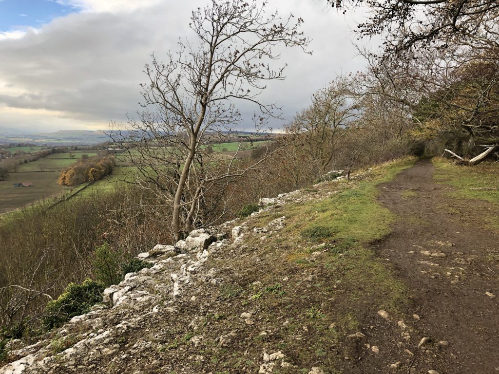
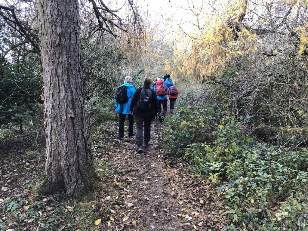
The path along Leyburn Shawl.
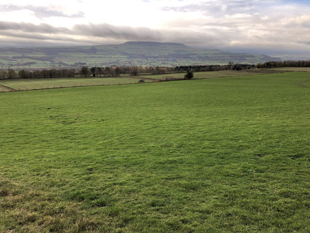
The view south-west over Wensleydale from Leyburn Shawl. Penhill can be seen in the distance.
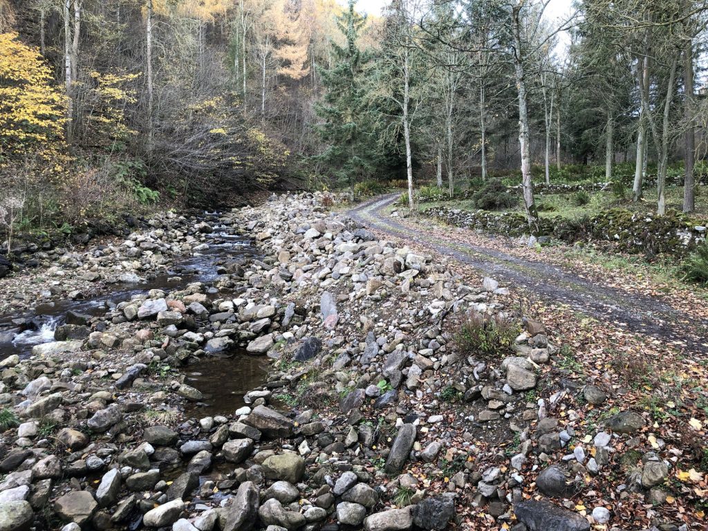
Apedale Beck near Castle Bolton.
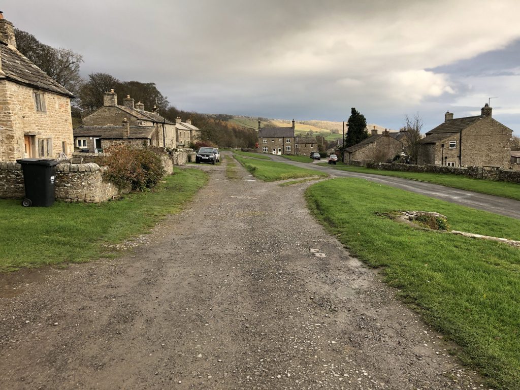
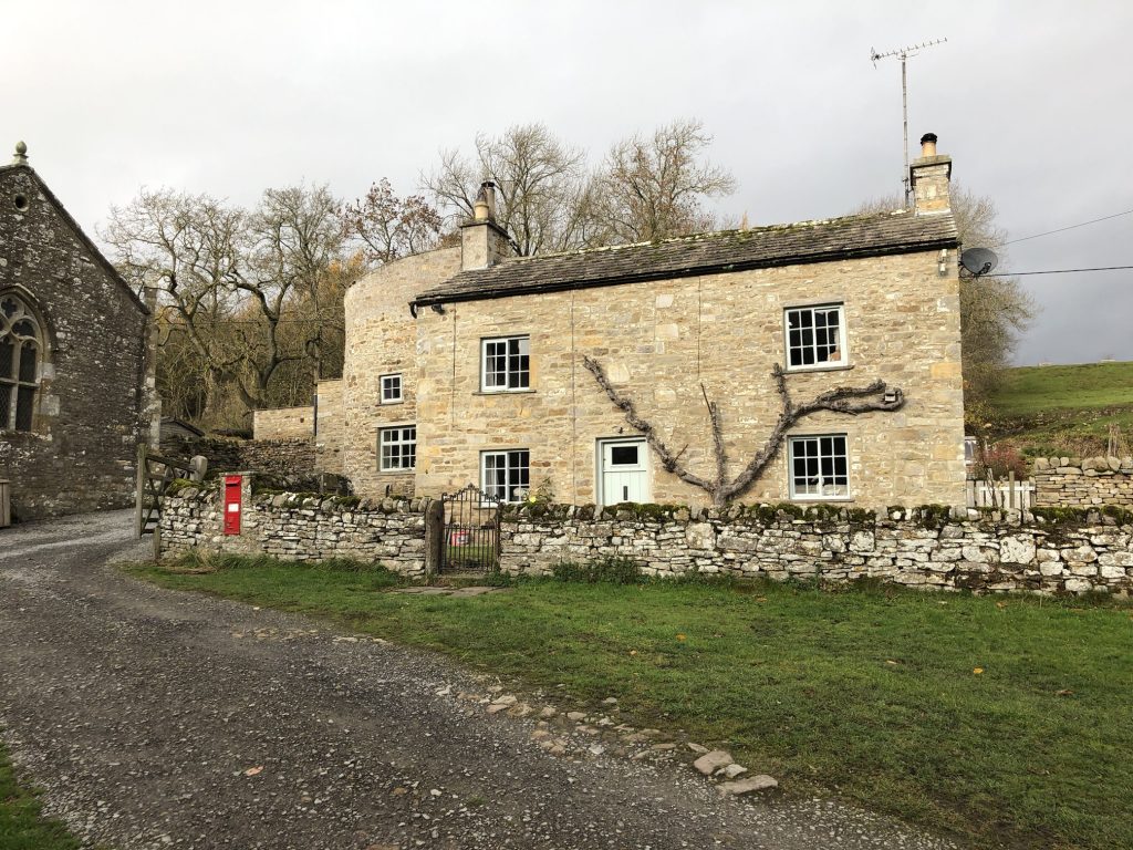
The village of Castle Bolton.
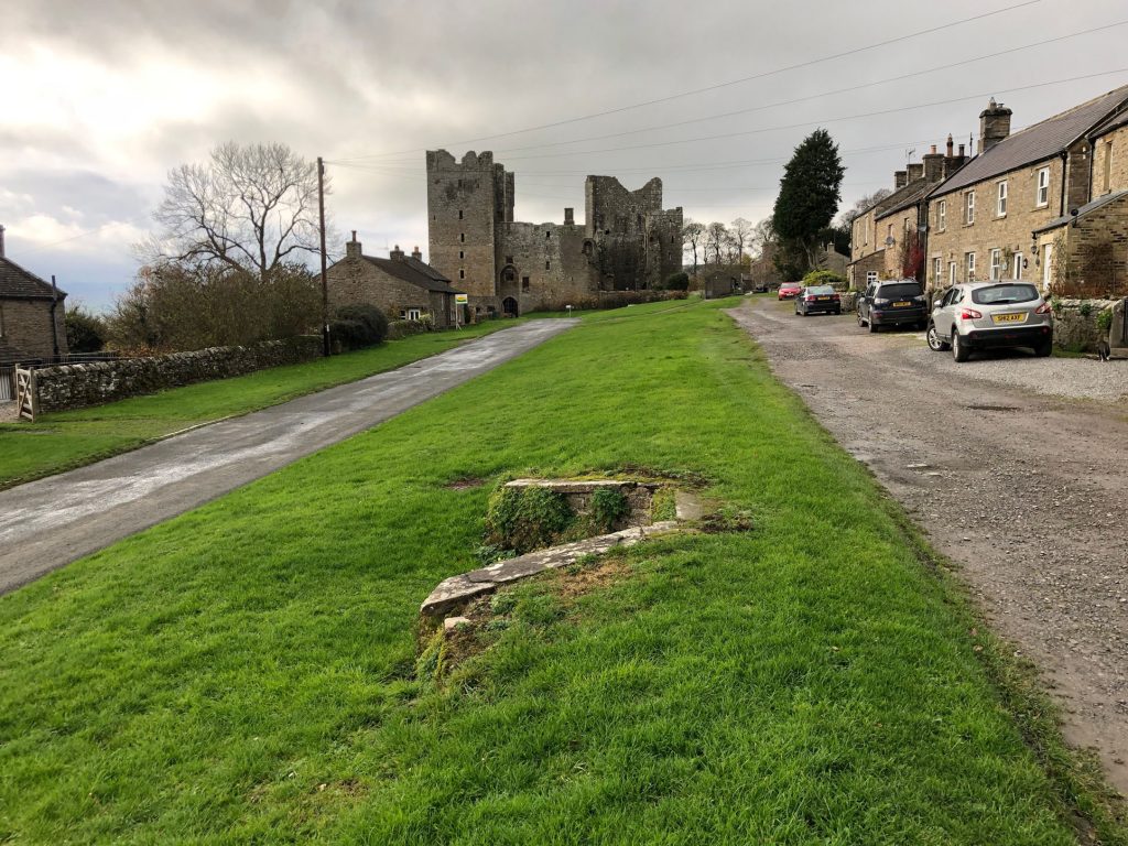
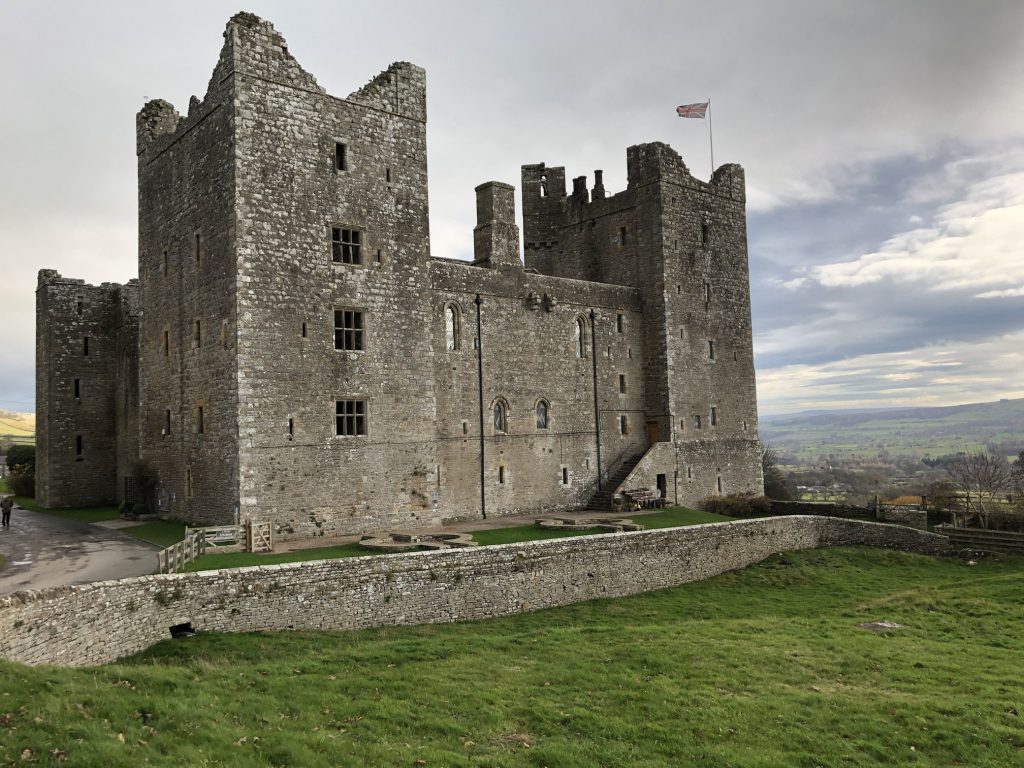
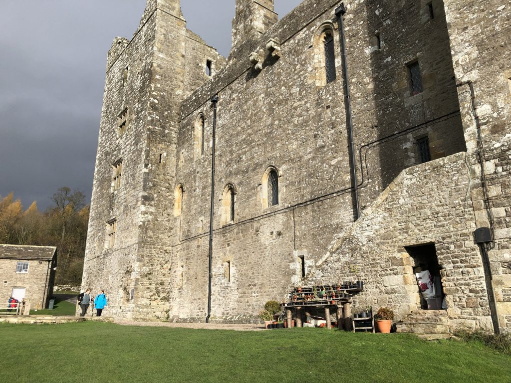
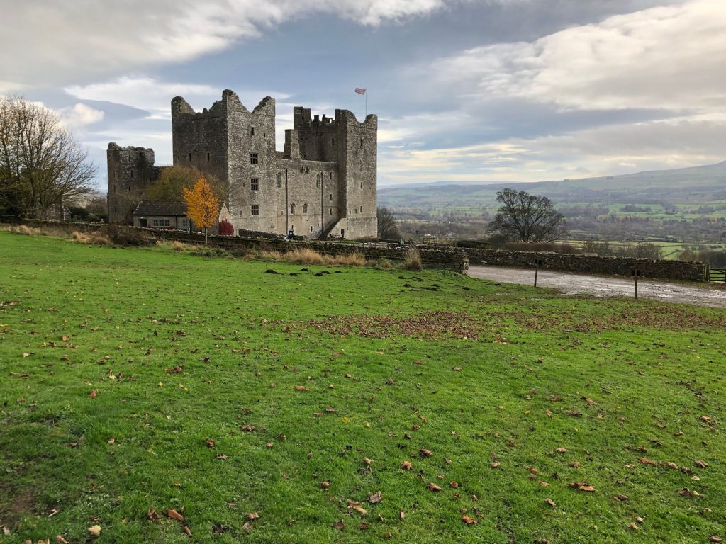
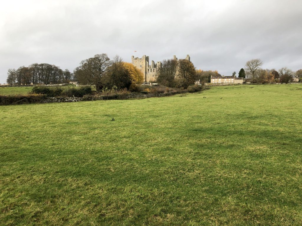
Bolton Castle.

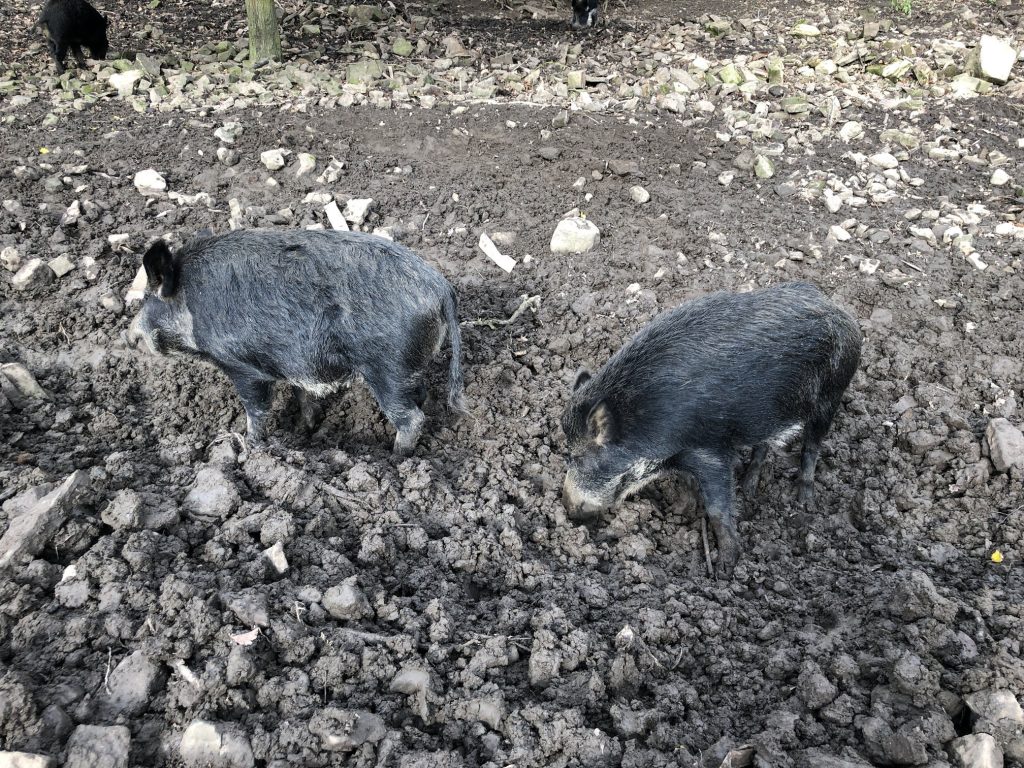
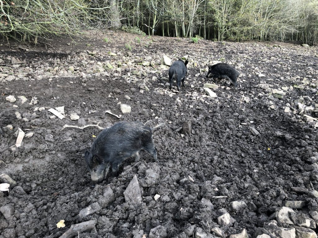
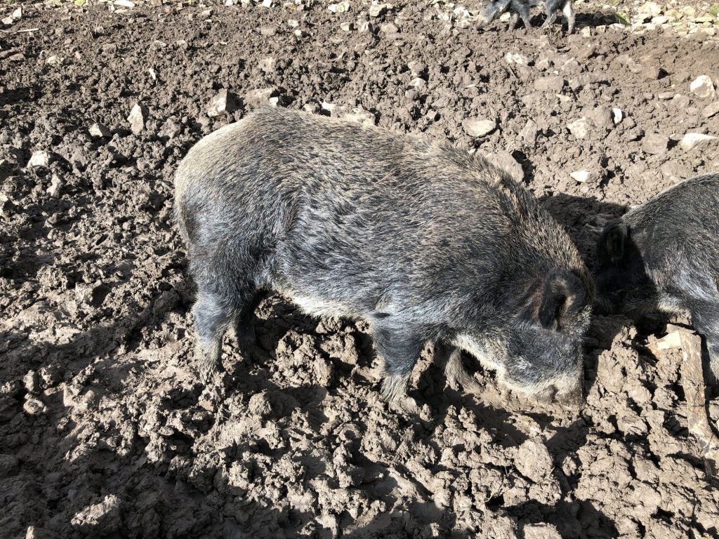
Wild boars at Bolton Castle.
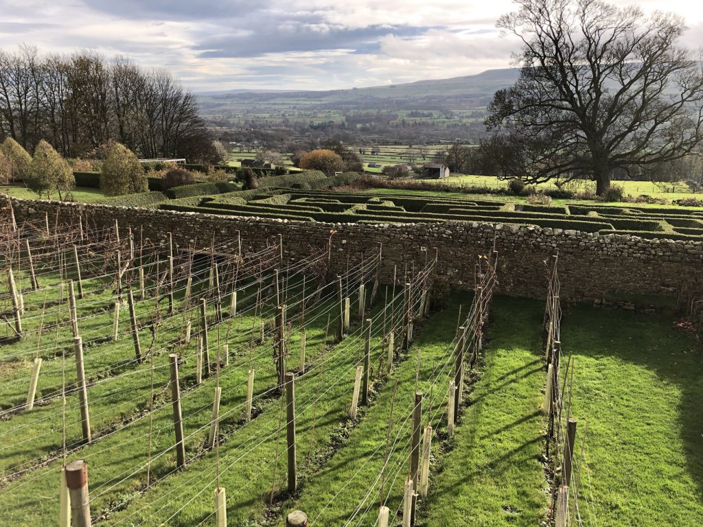
Bolton Castle gardens.
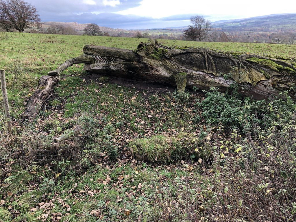
Dragon carved out from a fallen tree near Bolton Castle.
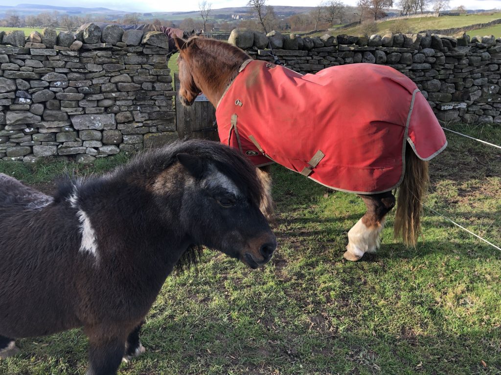
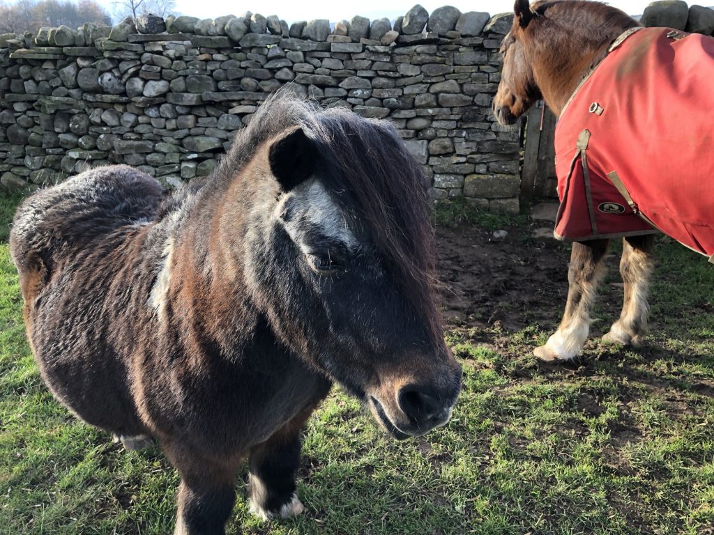
Horses on farmland near Redmire.
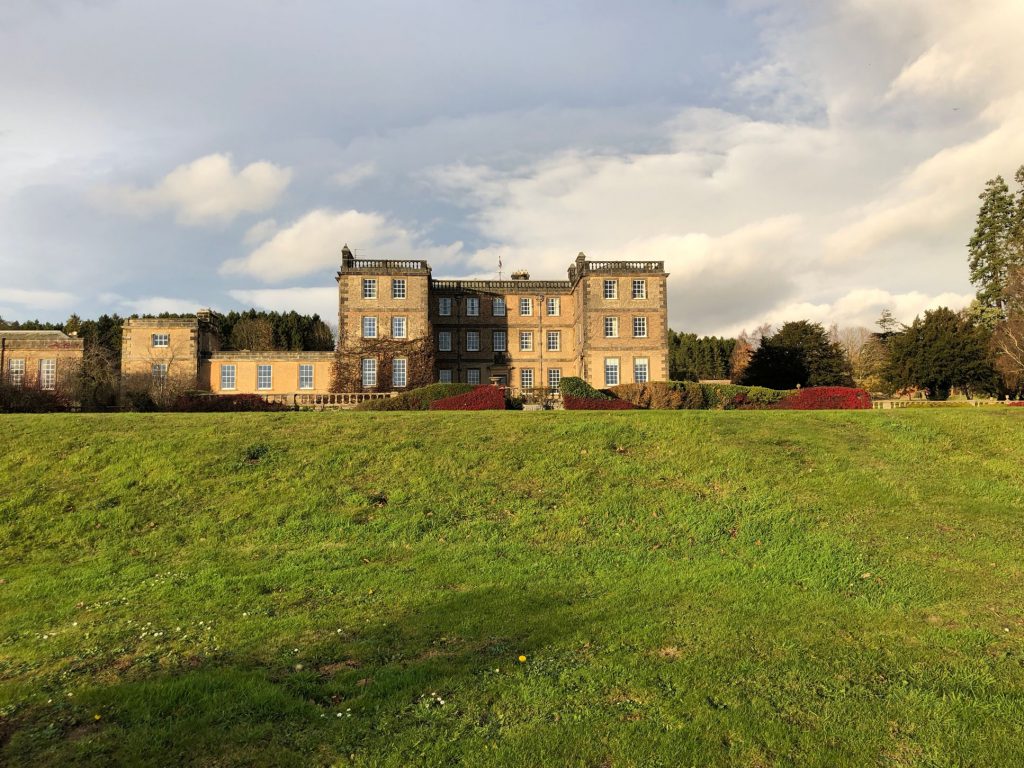
Bolton Hall.
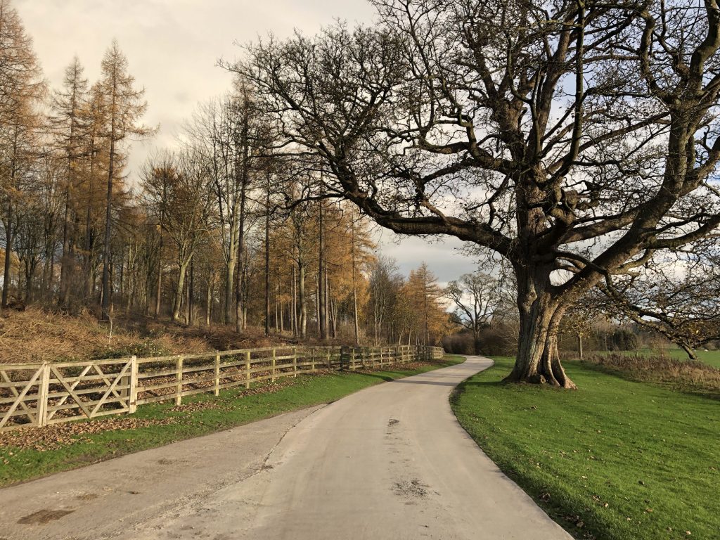
Wensley Park.
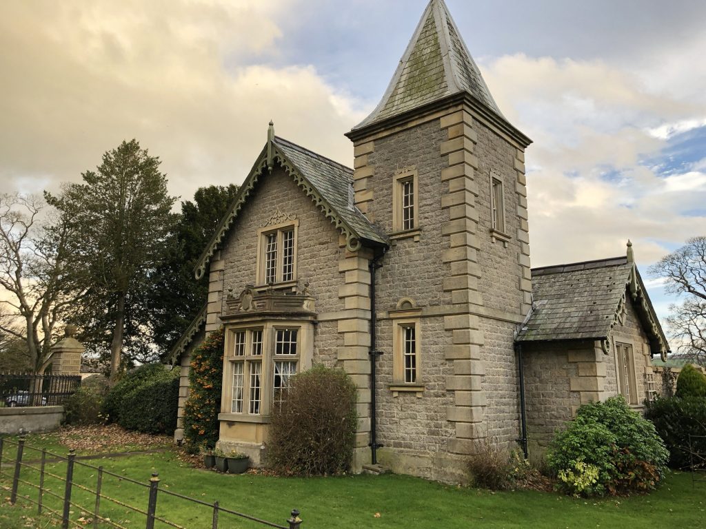
East Lodge at the entrance of Wensley Park.
Walking through Wensley.