East from Guisborough town centre towards Slapeworth, then south-west along the Cleveland Way through Guisborough Woods. South-east across Commondale Moor to meet the minor road which connects Commondale and Kildale, then west along this road to Quarry Hill. North onto Percy Cross Rigg before heading across Great Ayton Moor and joining the Cleveland Way route to Roseberry Common. Finally north-east through Hutton Lowcross Woods via Hanging Stone back to the starting point. A 16-mile walk in Northern England.
Recommended Ordnance Survey Map
The best map to use on this walk is the Ordnance Survey map of the North York Moors Western Area, reference OS Explorer OL26, scale 1:25,000. It clearly displays footpaths, rights of way, open access land and vegetation on the ground, making it ideal for walking, running and hiking. The map can be purchased from Amazon in either a standard, paper version or a weatherproof, laminated version, as shown below.
Gisborough Priory, a ruined Augustinian priory on the eastern side of Guisborough town centre.

It was founded in 1119 by the Norman feudal magnate Robert de Brus, who was an ancestor of the Scottish king, Robert the Bruce. It became one of the richest monastic foundations in England with grants from the crown and bequests from de Brus, other nobles and gentry, and local people of more modest means. Much of the priory was destroyed in a fire in 1289, but was rebuilt in the Gothic style on a grander scale over the following century. Its remains are regarded as among the finest surviving examples of early Gothic architecture in England.
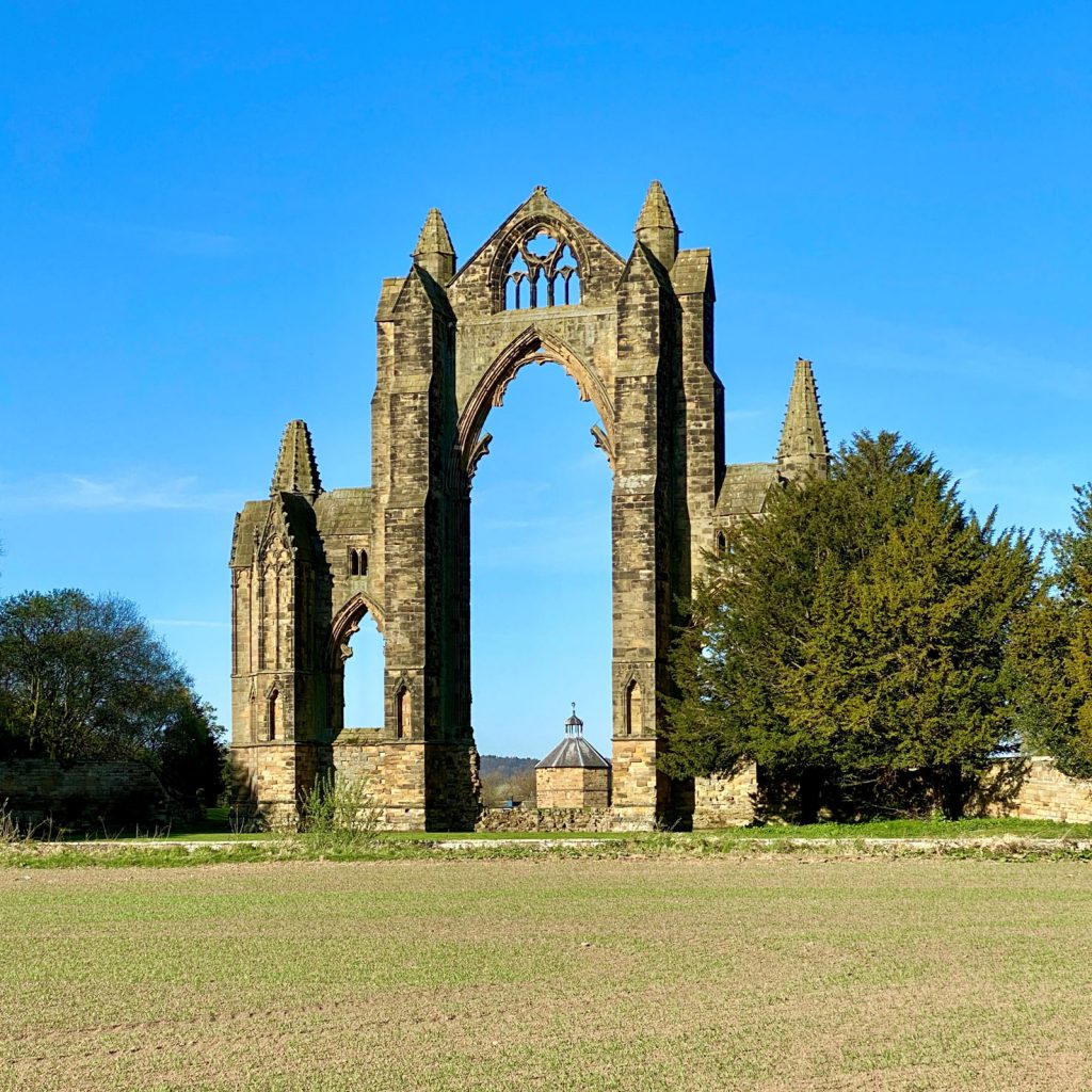
The priory prospered until the Dissolution of the Monasteries in 1540, when it was abolished along with England’s other monastic communities. The priory buildings were demolished and the stone re-used in other buildings in Guisborough. The east end of the priory church was left standing with its great window forming a distinctive arch, a well-known landmark used as a symbol for Guisborough.
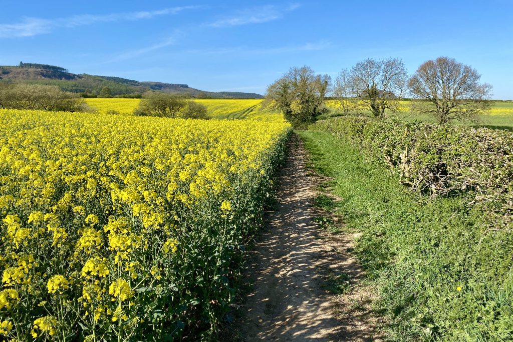
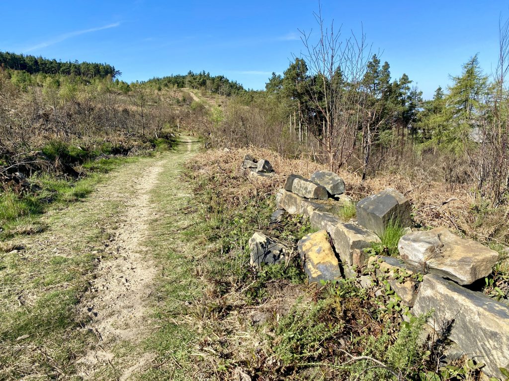
The Cleveland Street footpath near Little Waterfall Farm between Guisborough and Slapewath.
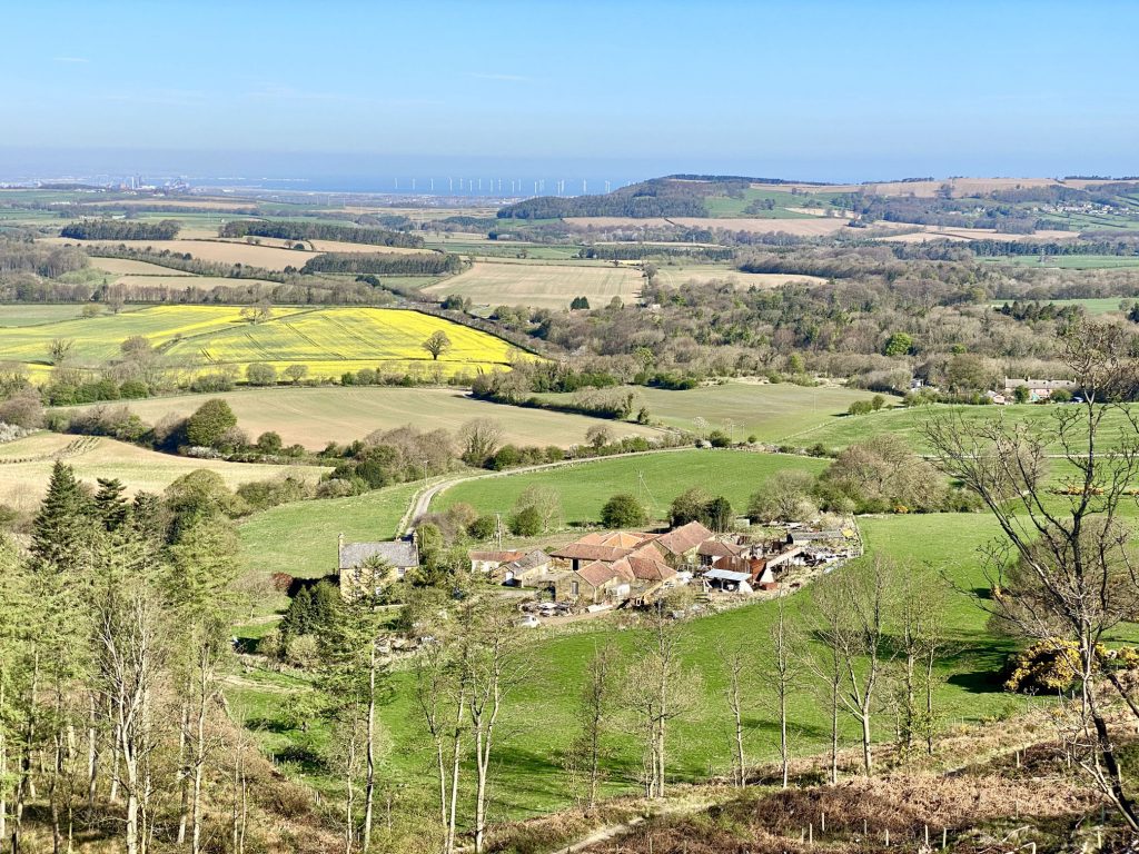
Old Park Farm as seen from the Cleveland Way. In the distance is the coastal town of Redcar, the North Sea and Teesside Wind Farm.
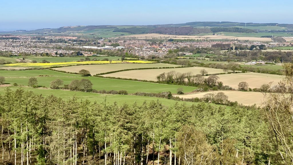
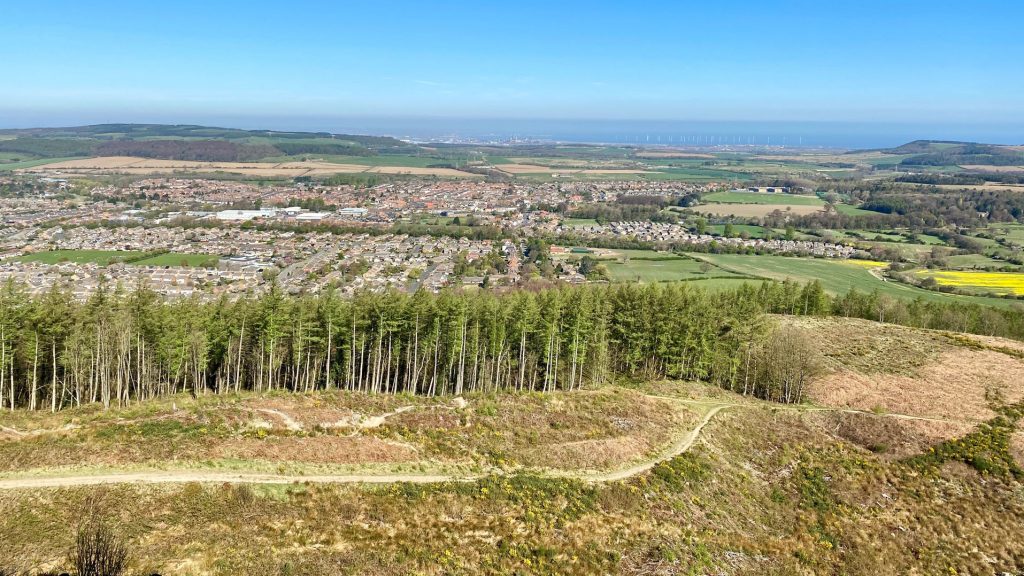
The view of Guisborough town centre from the Cleveland Way.
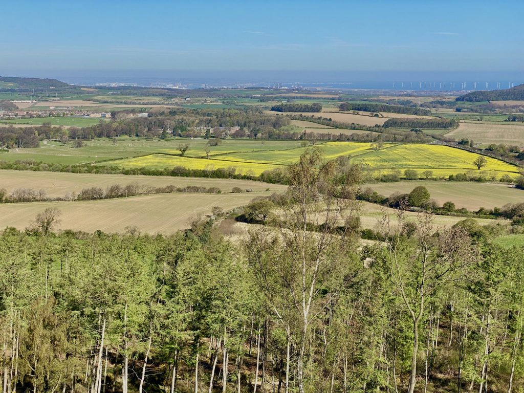
Looking over towards Teesside and the Tees Mouth.
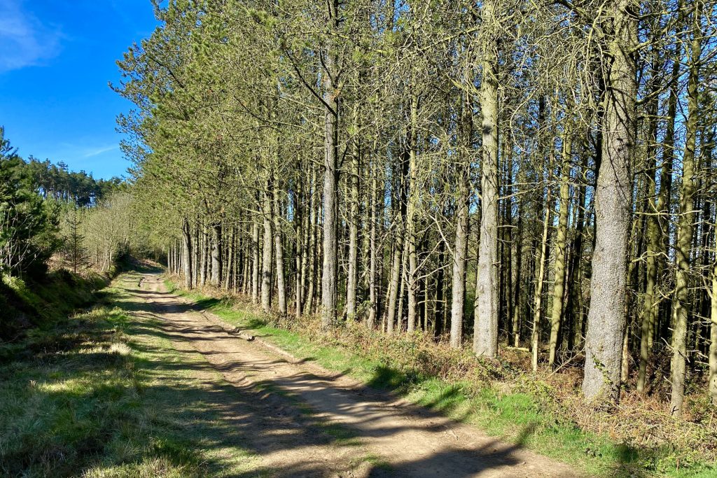
The Cleveland Way national trail through Guisborough Woods.
Guisborough town centre overlooked by Guisborough Woods.
The view north towards Beacon Moor, the hill which hides New Marske and Marske-by-the-Sea.
My home town of Guisborough, with Redcar, Teesside and the North Sea in the background.
Looking south-west across Commondale Moor with the Cleveland Hills in the far distance.
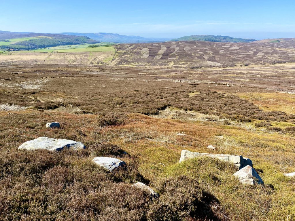
Guisborough Woods on the horizon, as seen from Commondale Moor.

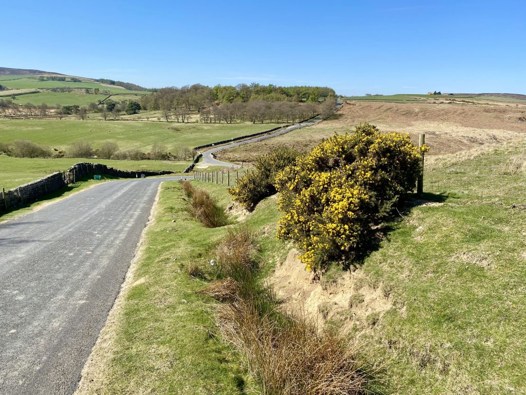
The minor road between Commondale and Kildale, which is usually very quiet and safe to walk along.
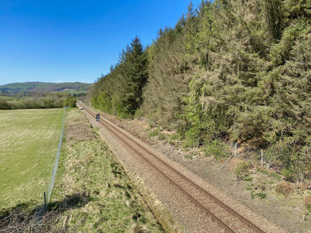
The Esk Valley Railway near Quarry Hill, just east of Kildale.
Railway crossing at Quarry Hill, Kildale.

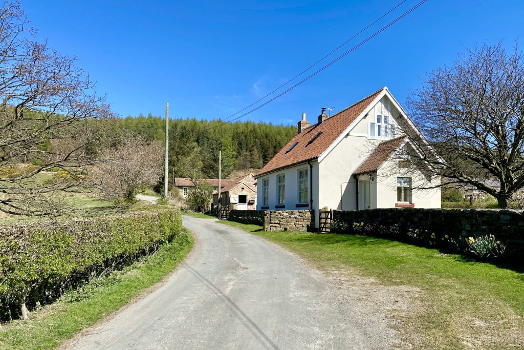
New Row, Kildale.
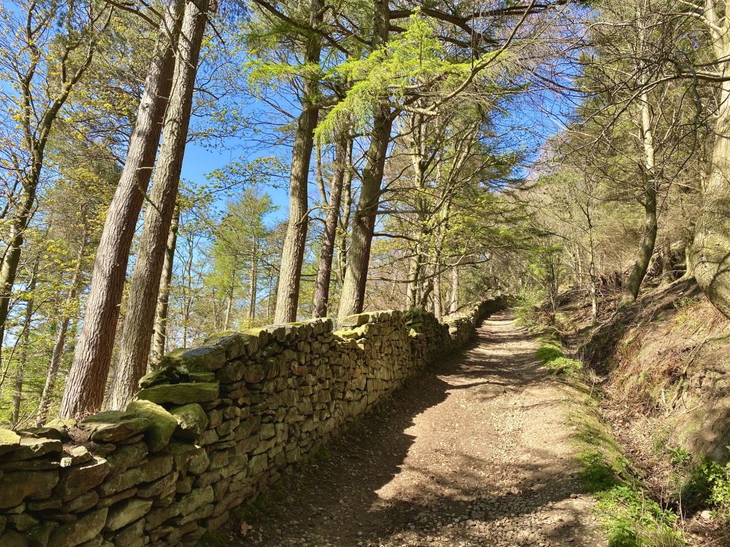
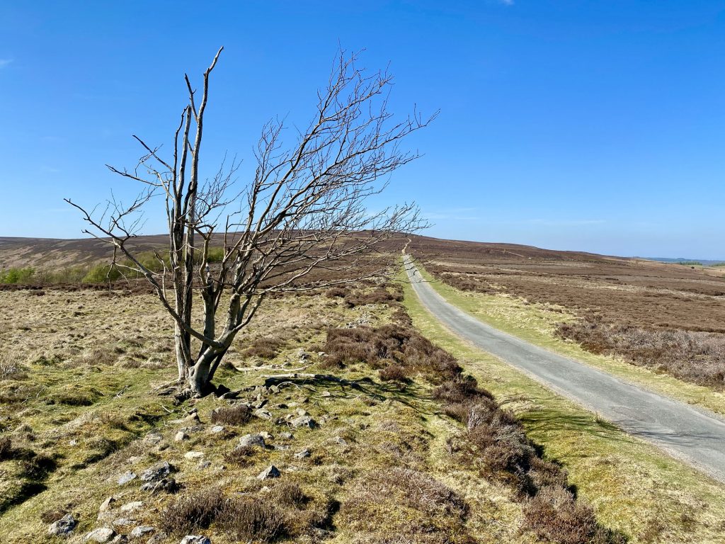
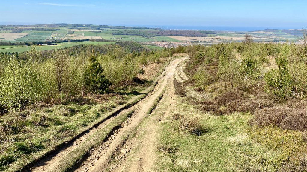
The picturesque route from Quarry Hill to Percy Cross Rigg.
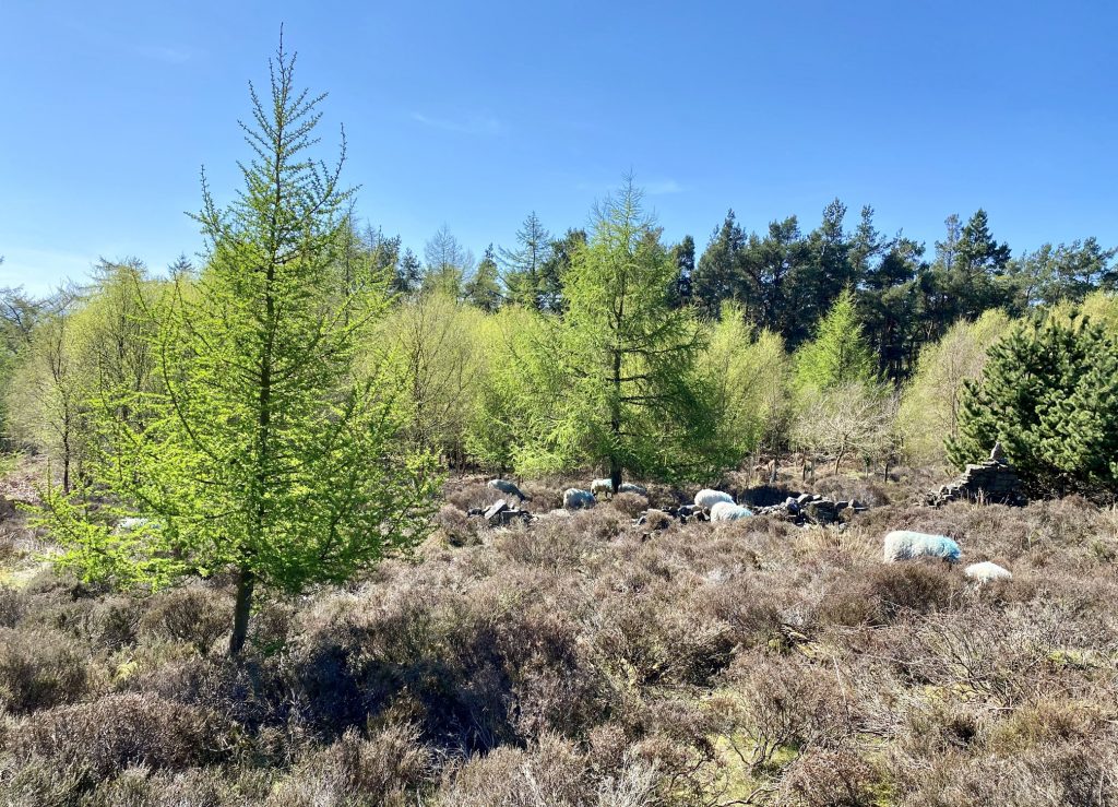
Sheep grazing in Lonsdale Plantation.
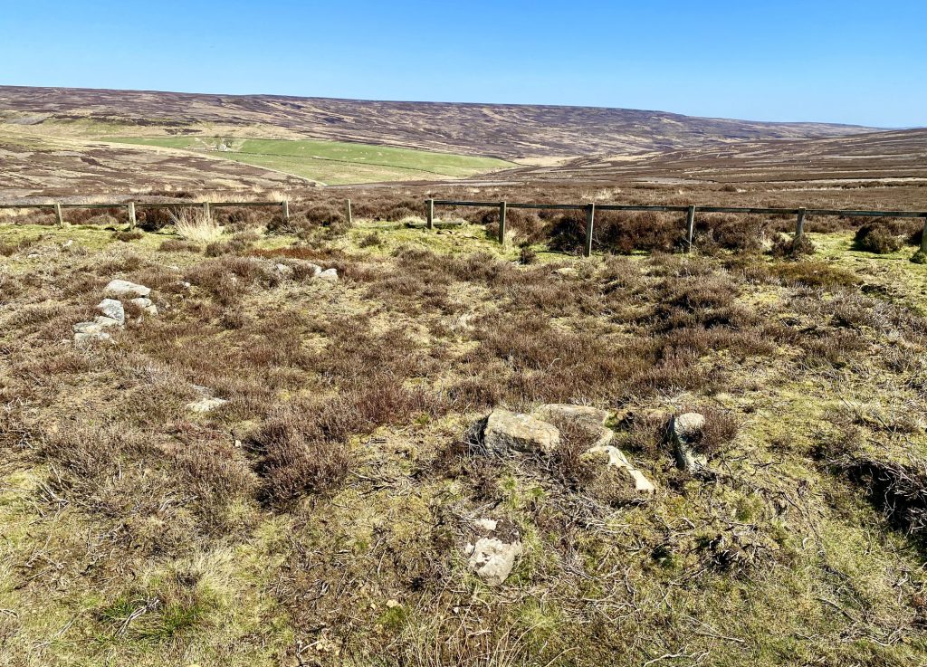
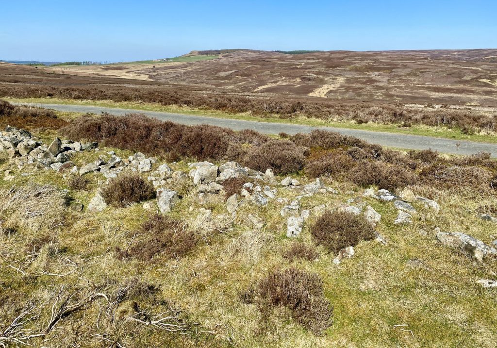
The site of five Iron Age hut circles on Percy Cross Rigg. Sorry, it’s difficult to make out the circles from my photographs. In fact it’s difficult to make them out when you’re actually there in person!
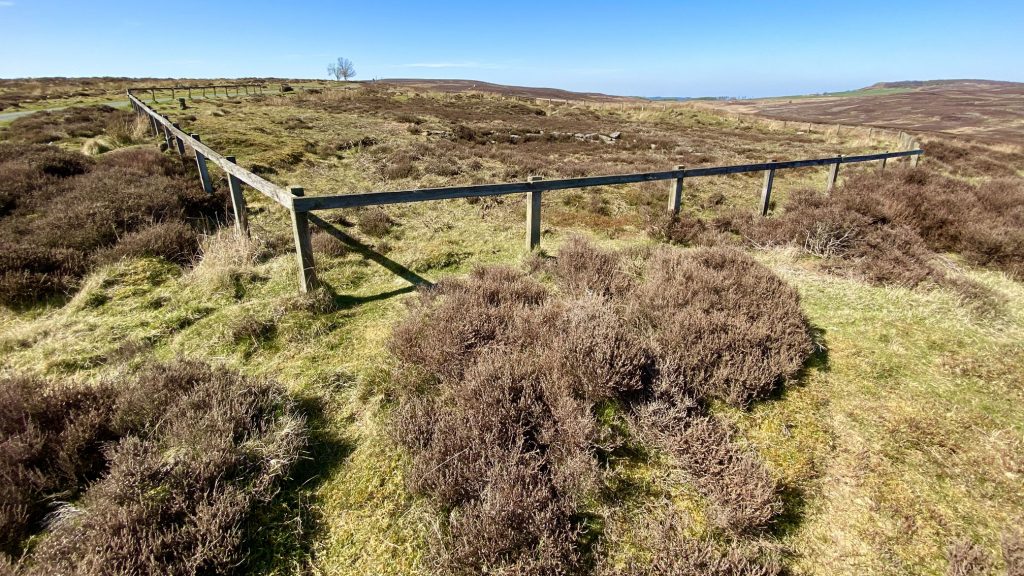
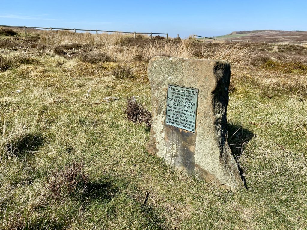
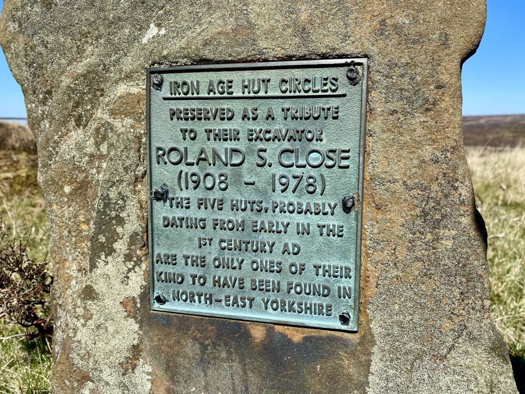
A fence marks the boundary of the site and an iron plaque reads as follows:
IRON AGE HUT CIRCLES
PRESERVED AS A TRIBUTE TO THEIR EXCAVATOR
ROLAND S. CLOSE
(1908 – 1973)
THE FIVE HUTS, PROBABLY DATING FROM EARLY IN THE 1ST CENTURY AD ARE THE ONLY ONES OF THEIR KIND TO HAVE BEEN FOUND IN NORTH-EAST YORKSHIRE
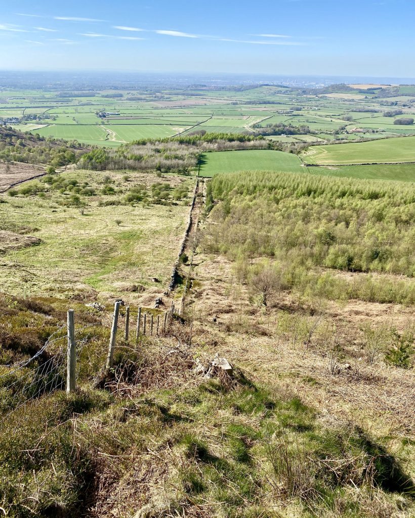
The view north-east across Gisborough Moor from Percy Cross Rigg.
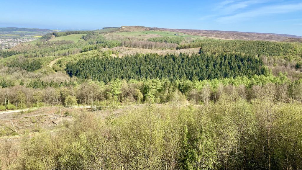
The track across Percy Cross Rigg towards Hutton Moor and Hutton Lowcross Woods.
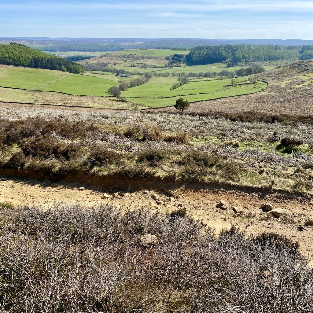
The view of Lonsdale from Great Ayton Moor.
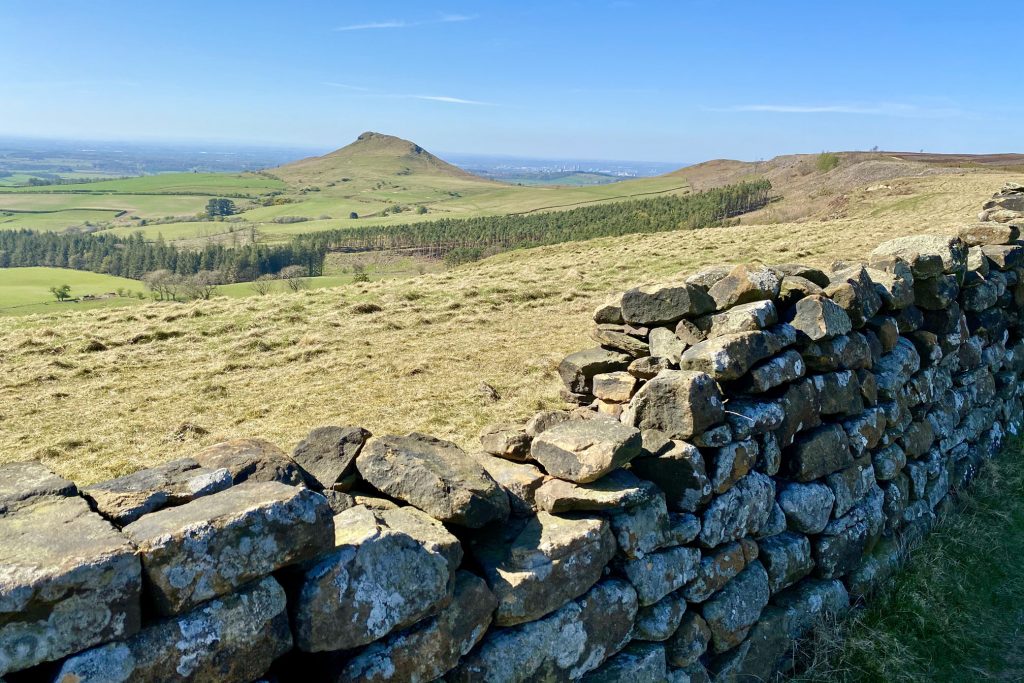
Roseberry Topping comes into view from Great Ayton Moor. Until 1912, its summit resembled a sugarloaf, until a geological fault and possibly nearby alum and ironstone mining caused its collapse.
Low-lying farmland between Nunthorpe and Guisborough, with Middlesbrough and Billingham in the distance.
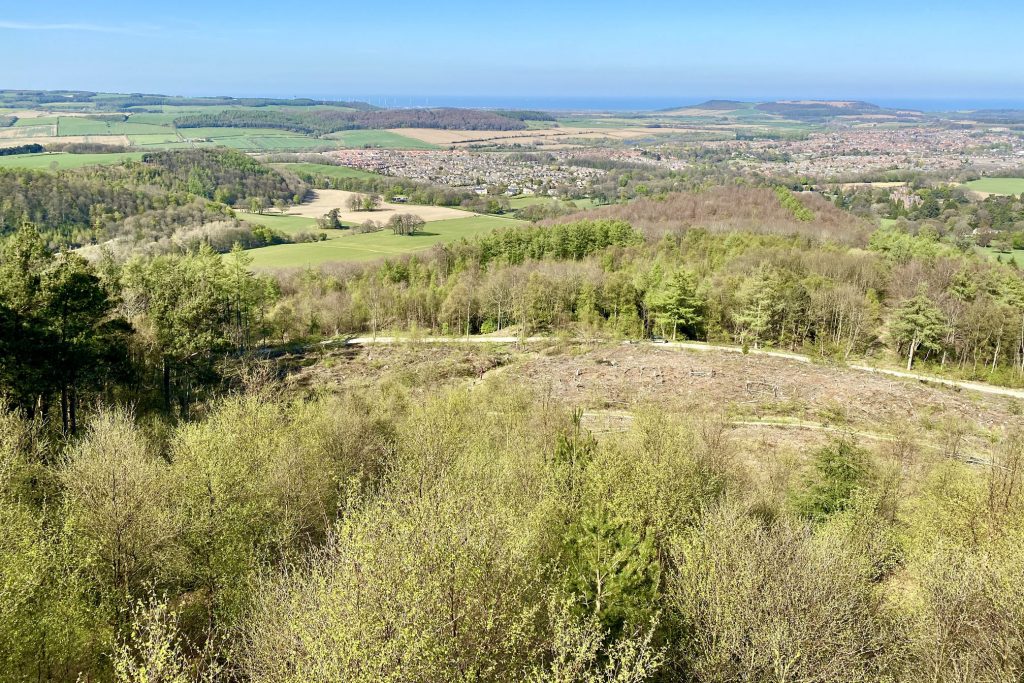
Hanging Stone Wood.
The route through Hanging Stone Wood to Hanging Stone.
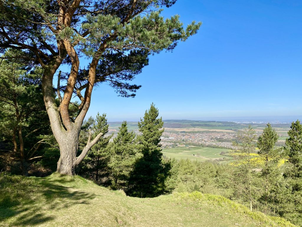
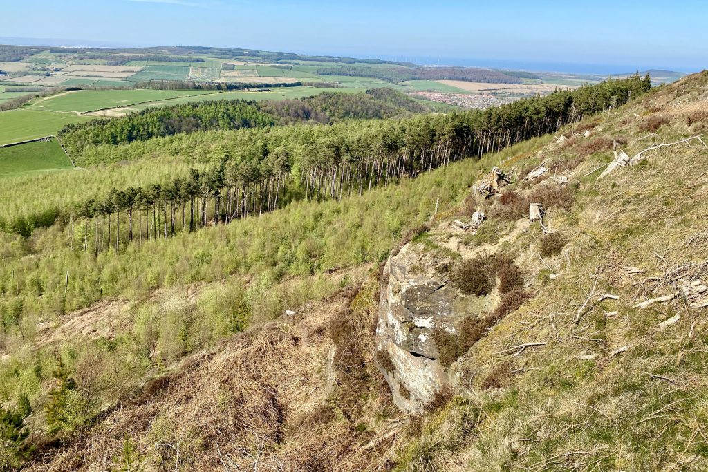
Great views of Guisborough from Hanging Stone.
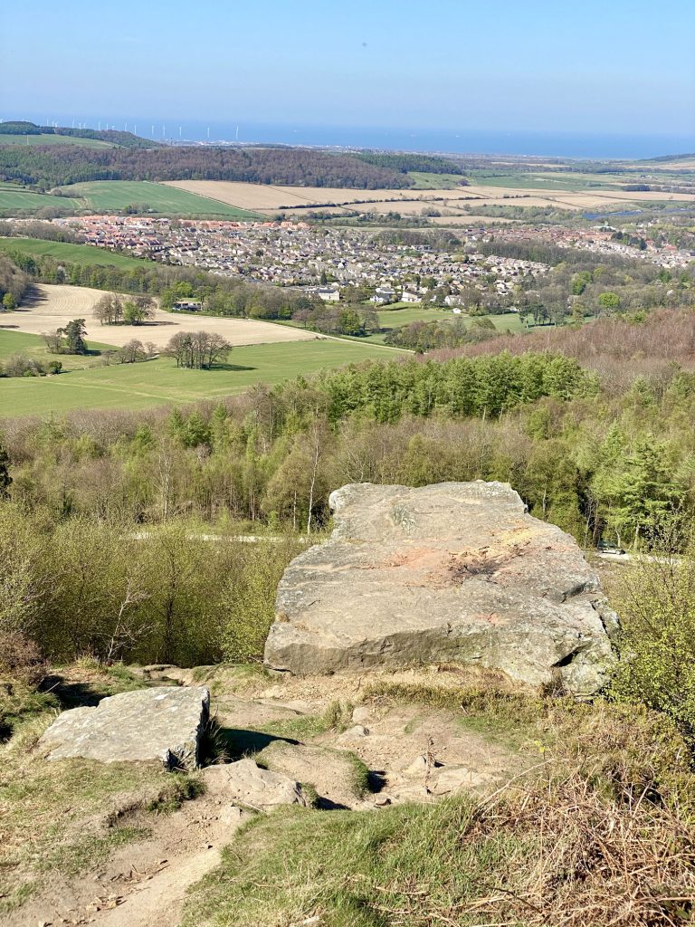
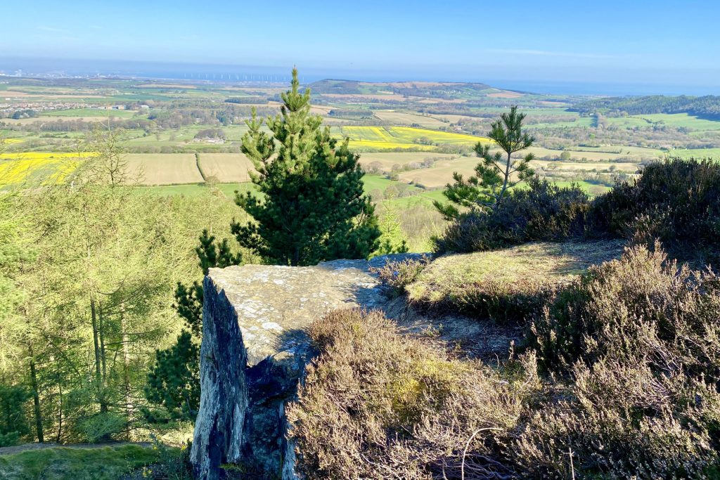
Hutton Lowcross Woods as seen from Hanging Stone. Highcliffe Nab, in the centre of the picture on the horizon, overlooks Guisborough. It can be clearly seen from the town and is a well-known landmark locally.
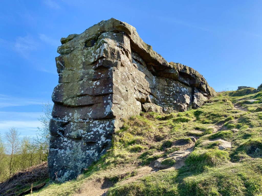
Hanging Stone.

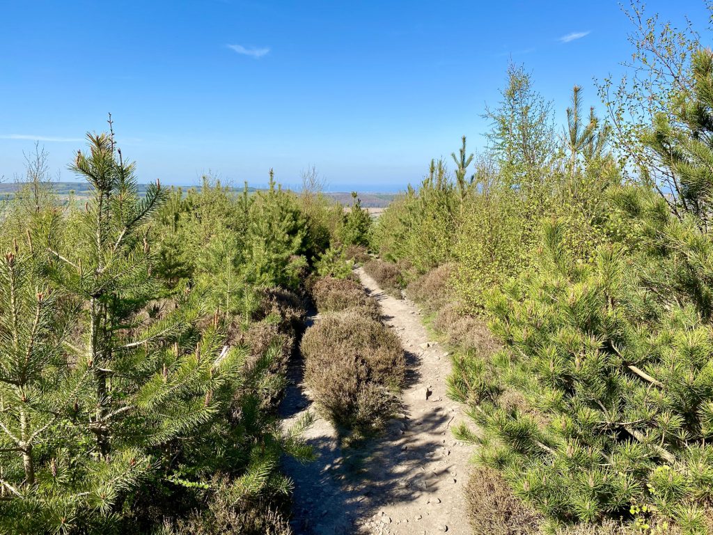
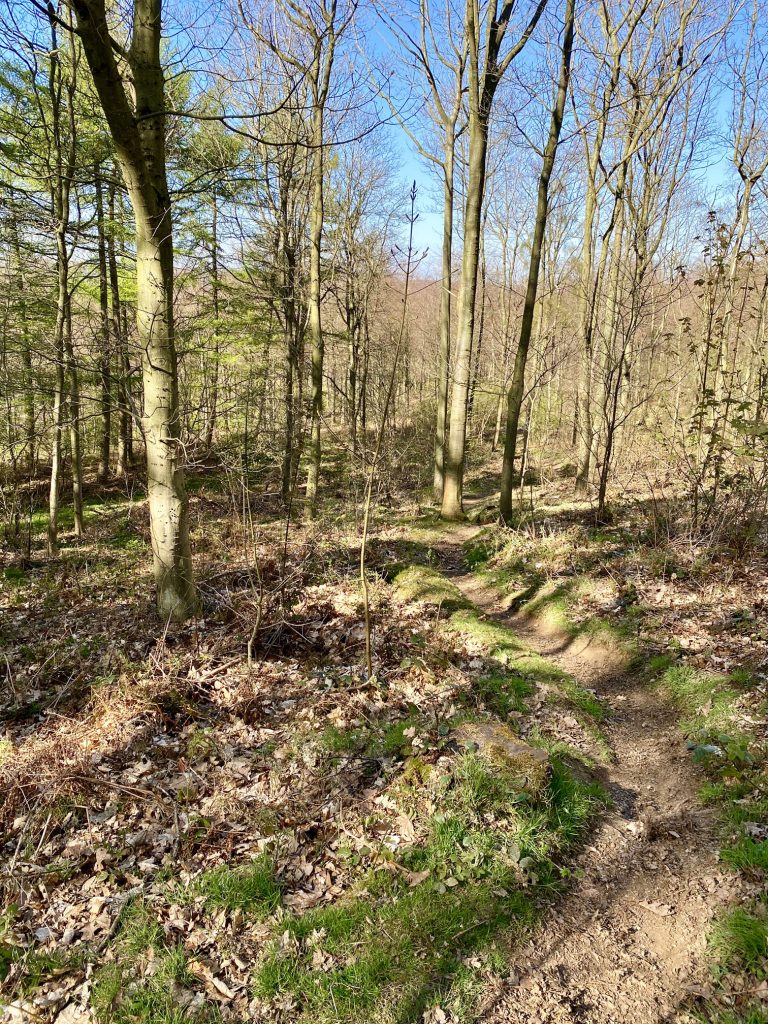
The path through Hutton Lowcross Woods.
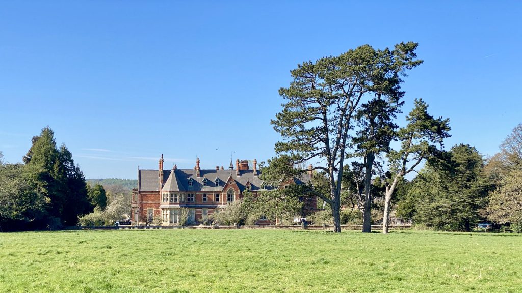
Hutton Hall, a Grade 2 listed country house near Hutton Village. The Victorian Gothic house was built in 1866 by Alfred Waterhouse for the quaker industrialist and member of parliament Joseph Pease.