North-east from Langcliffe to Catrigg Force, then generally south to meet the Pennine Bridleway near Jubilee Cave. East across Langcliffe Scar to Langscar followed by a south-west crossing over Grizedales, before heading west along the Pennine Bridleway / Dales High Way to Attermire Scar. North through the dry valley to Victoria Cave and finally west along a path and minor road back to the starting point. An 11-mile walk in the Yorkshire Dales.

Recommended Ordnance Survey Map
The best map to use on this walk is the Ordnance Survey map of the Yorkshire Dales Southern & Western Area, reference OS Explorer OL2, scale 1:25,000. It clearly displays footpaths, rights of way, open access land and vegetation on the ground, making it ideal for walking, running and hiking. The map can be purchased from Amazon in either a standard, paper version or a weatherproof, laminated version, as shown below.
Standard Version
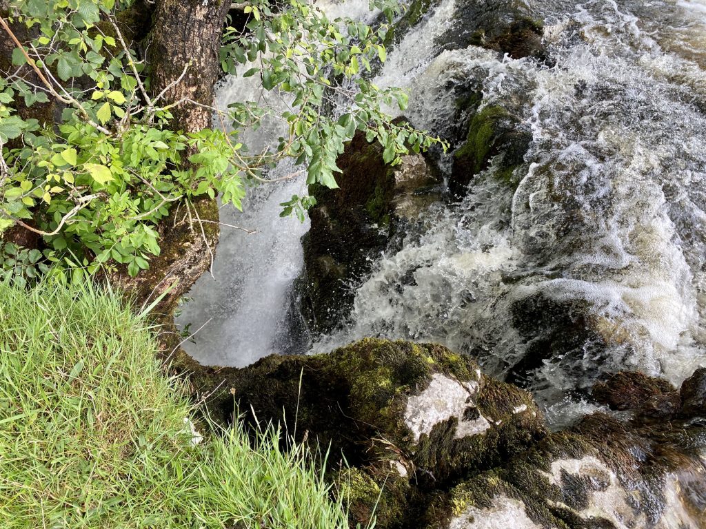
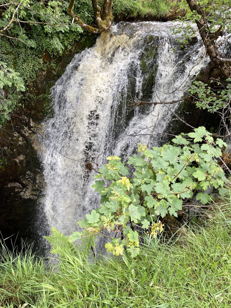
Catrigg Force (Waterfall) created by Stainforth Beck about a mile east of Stainforth.
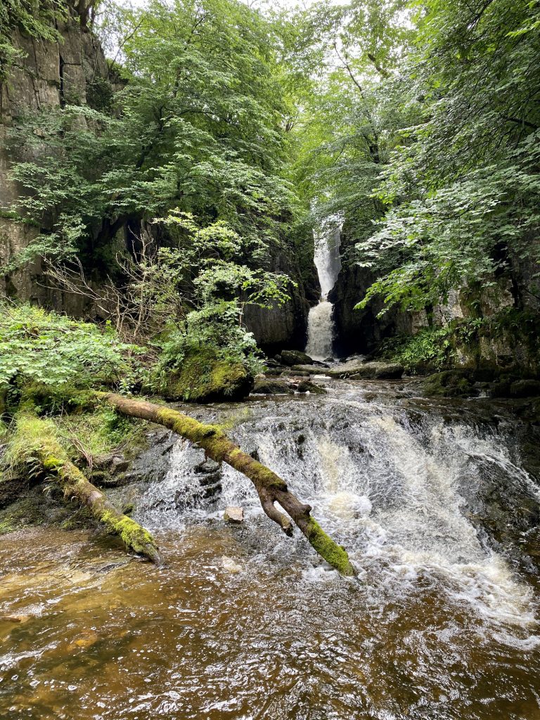
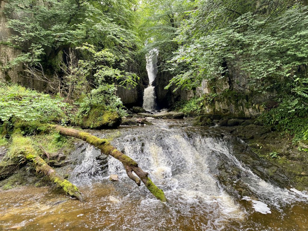
The top of Catrigg Force (Waterfall). Water plunges six metres (20 feet) into a secluded pool below.
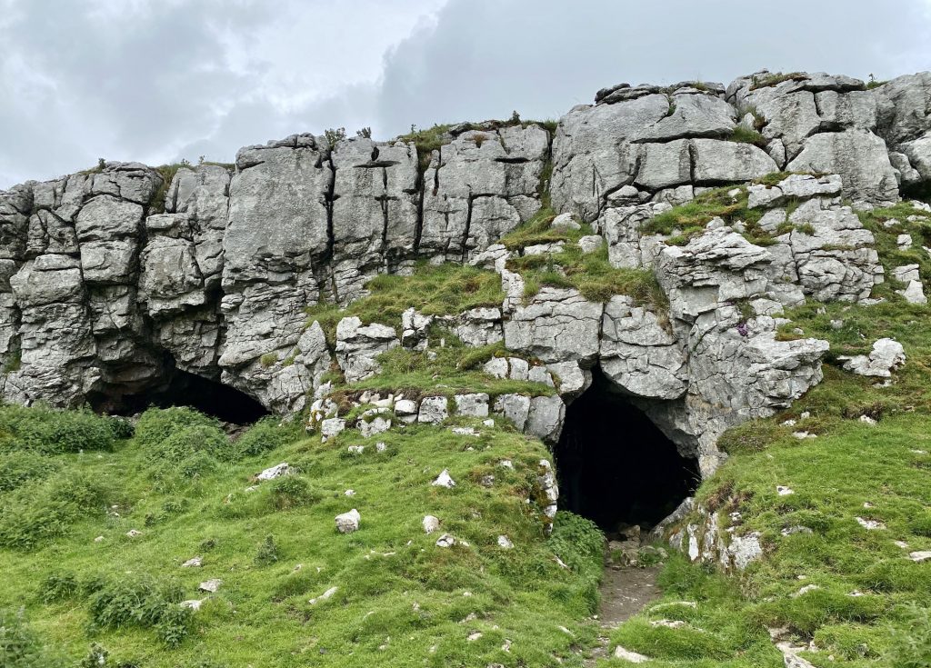
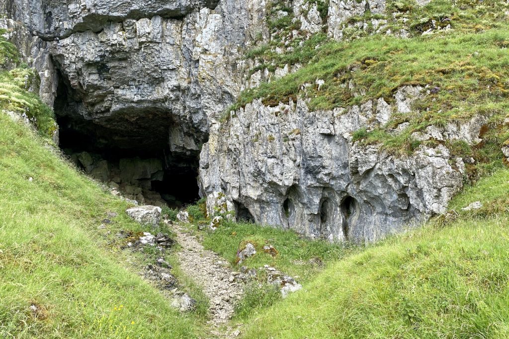
Jubilee Cave on the north-west edge of Langcliffe Scar.
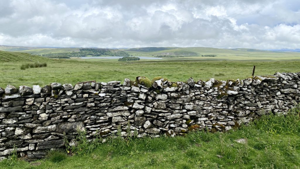
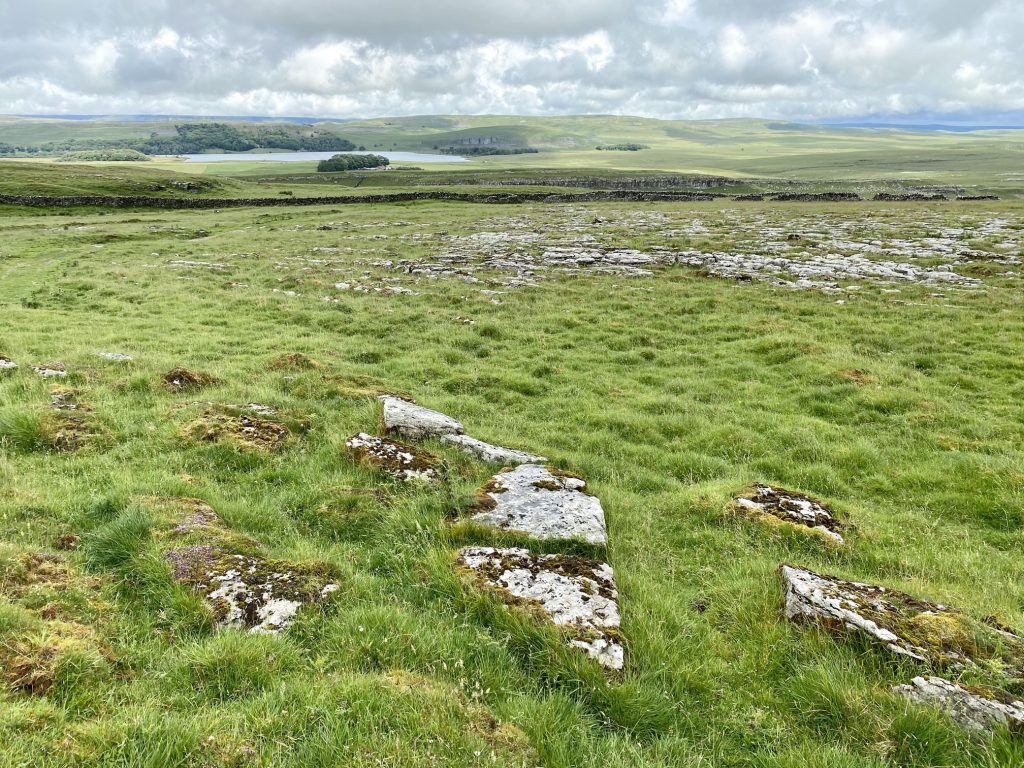
The view over to Malham Tarn from the Pennine Bridleway near Langscar.
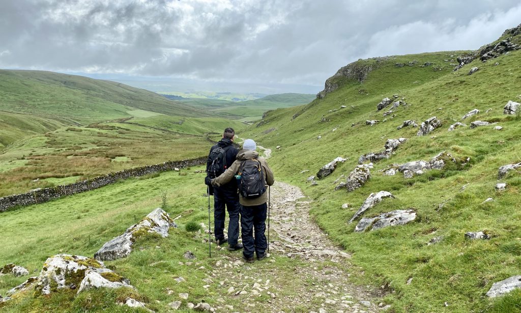
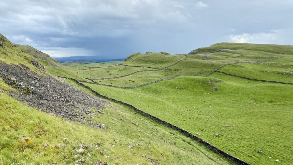
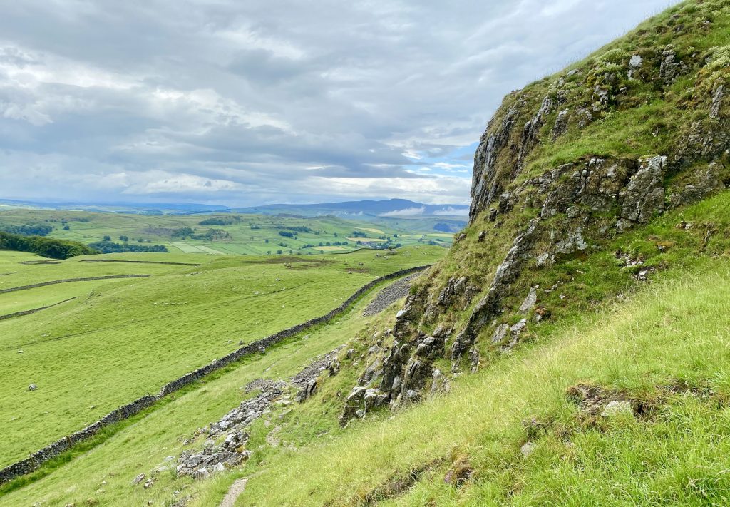
Heading west along the Pennine Bridleway / Dales High Way between Great Scar and Rye Loaf Hill.
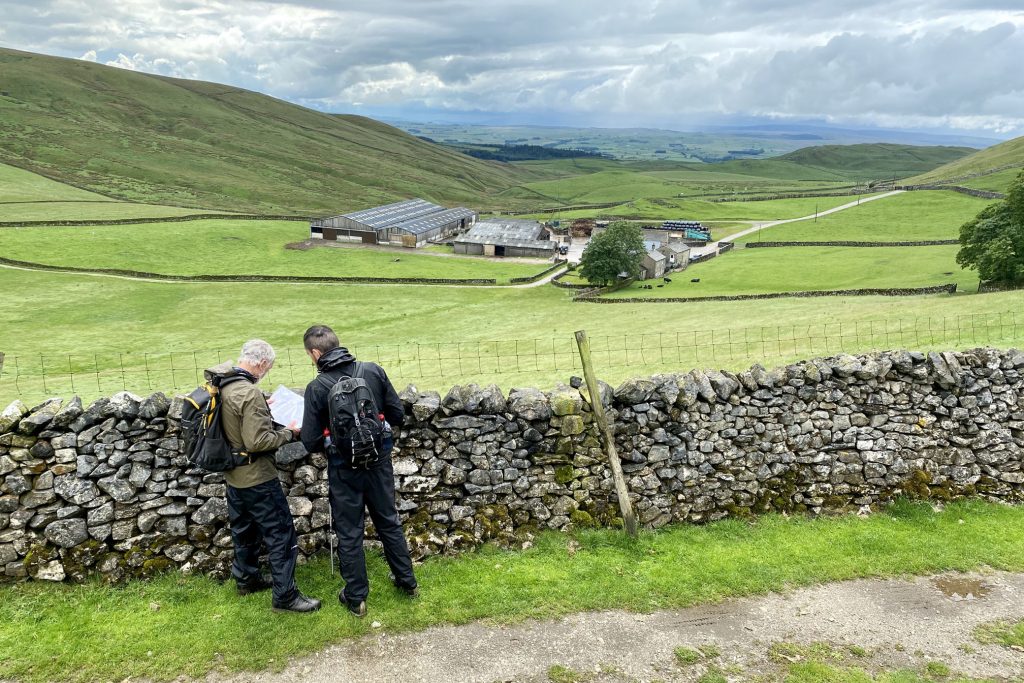
Stockdale Farm at the head of the valley north-west of Rye Loaf Hill.
Looking up towards Horseshoe Cave.
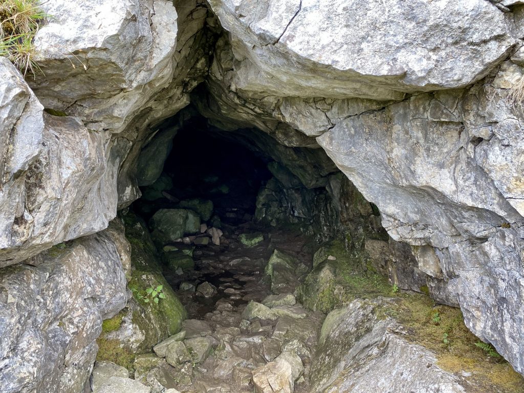
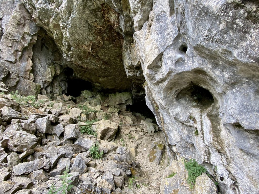
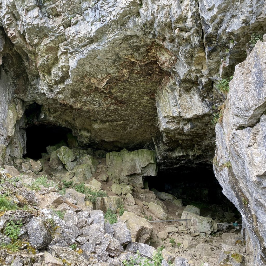
Victoria Cave, much bigger than my photographs suggest, just north of Brent Scar and Attermire Scar. The main entrance measures about 30 metres wide and 10 metres high while the main interior chamber extends for a distance of about 50 metres.
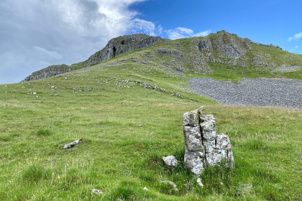
The view over to Warrendale Knotts, a series of grassy limestone knolls opposite Attermire Scar.
Looking north-west from Victoria Cave towards Ingleborough and Whernside.
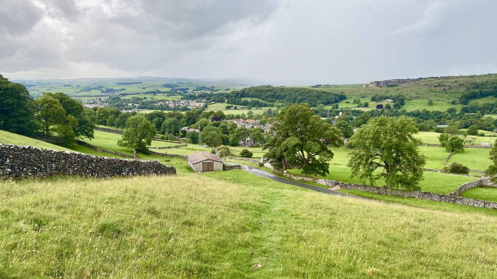
The village of Langcliffe (centre), with Settle visible in the distance (left).