South-west from Sandsend into Mulgrave Woods and past Mulgrave Castle to meet the minor road near Birk Head. South to Moorgate Farm, before heading generally north-east along the quiet road to Heulah Farm. Further north-east to Raithwaite, then on to Whitby town centre. Back to the starting point by way of Whitby West Cliff and Sandsend Road. A 14-mile walk in the North York Moors and along the Yorkshire Coast.

Recommended Ordnance Survey Map
The best map to use on this walk is the Ordnance Survey map of the North York Moors Eastern Area, reference OS Explorer OL27, scale 1:25,000. It clearly displays footpaths, rights of way, open access land and vegetation on the ground, making it ideal for walking, running and hiking. The map can be purchased from Amazon in either a standard, paper version or a weatherproof, laminated version, as shown below.
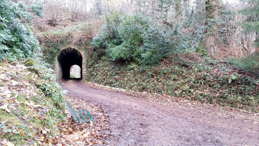
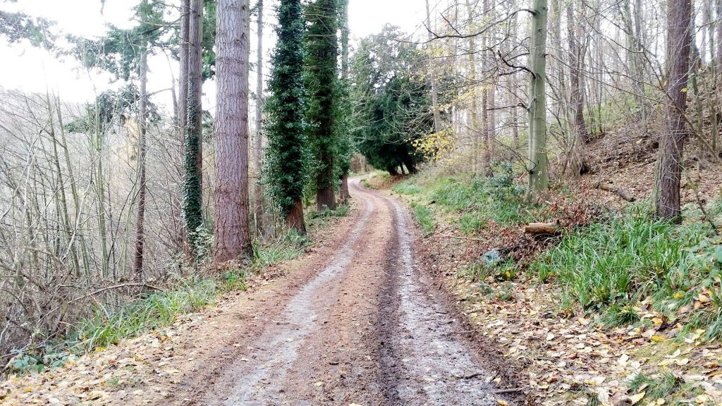
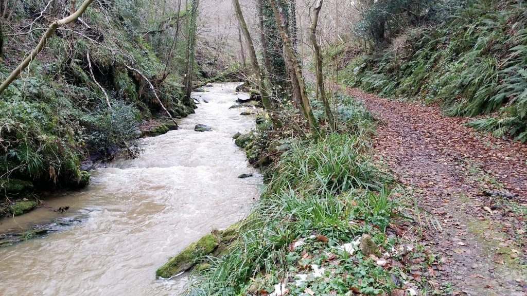
Mulgrave Woods.
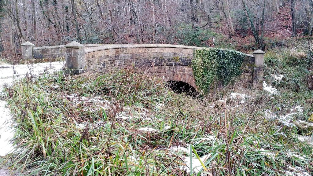
Mulgrave Castle
The curtain wall.
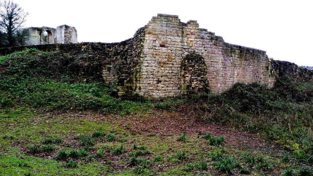
The gatehouse.
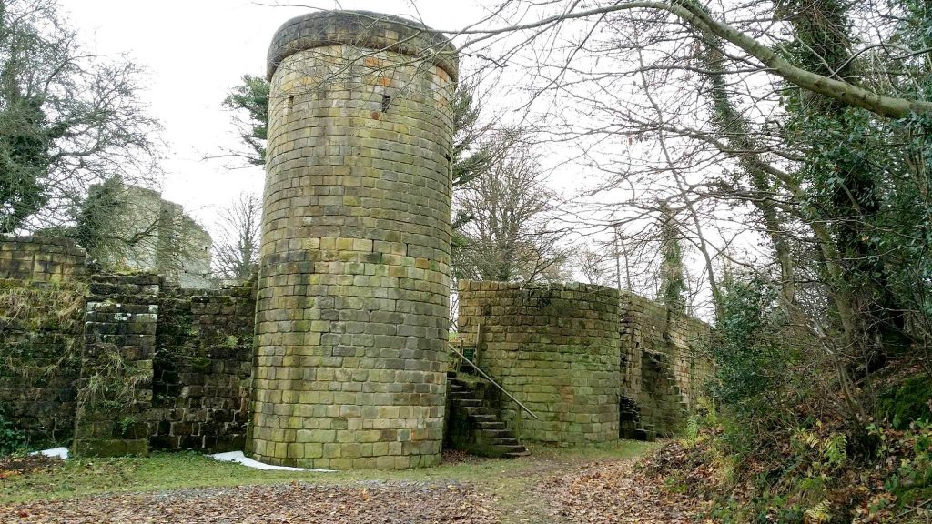
The keep.
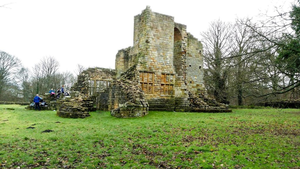
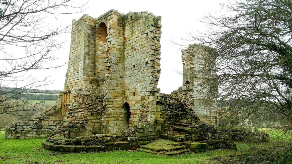
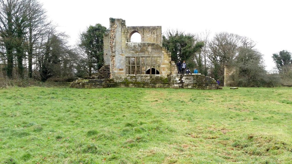
Tower on the eastern face of the curtain wall.
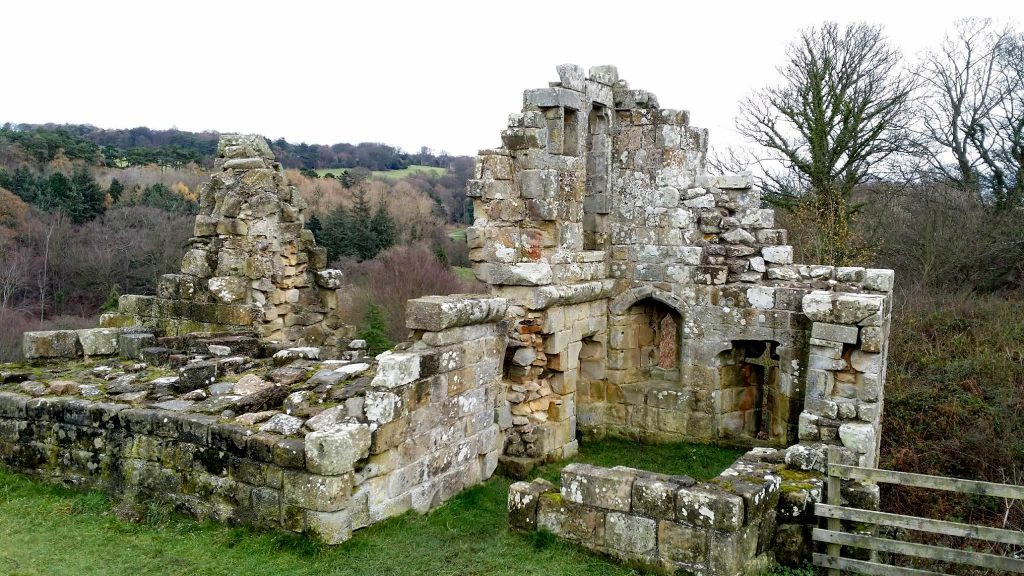
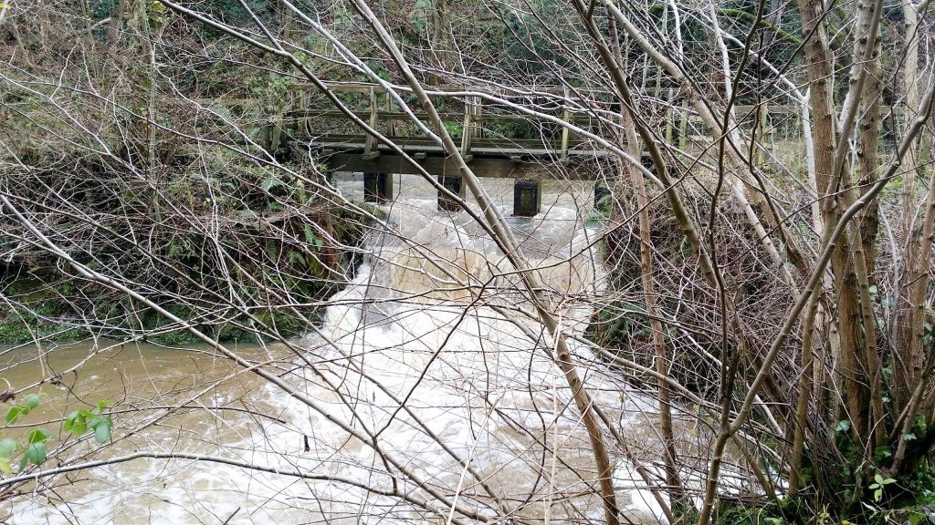
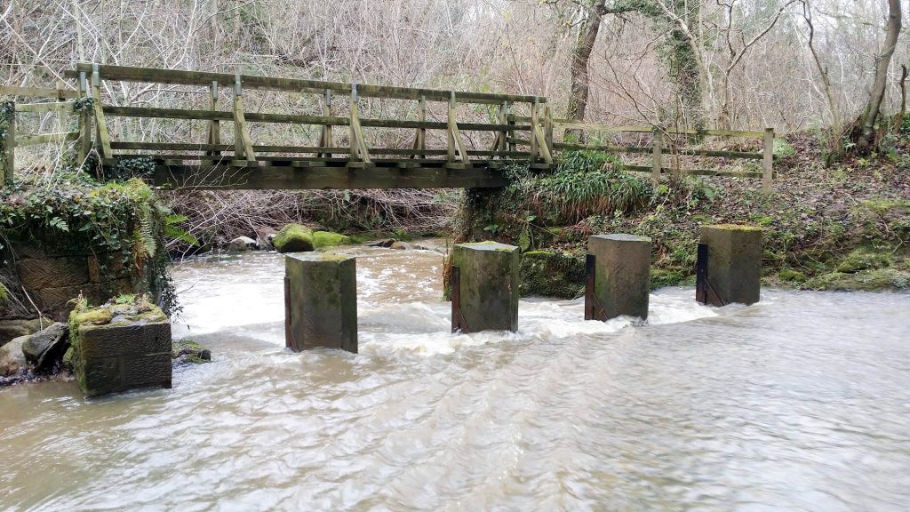
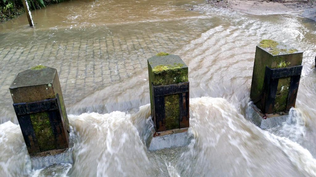
East Row Beck footbridge and ford.
Allerton Head Farm, Kitter Lane.

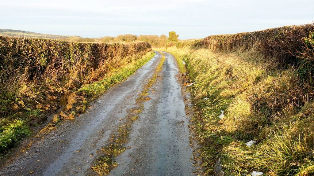
Heading towards Dunsley.
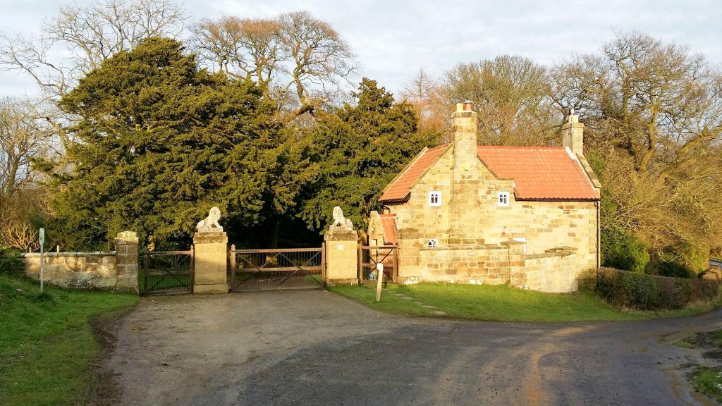
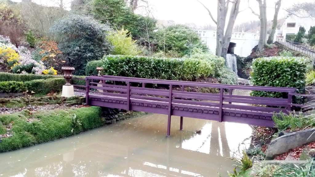
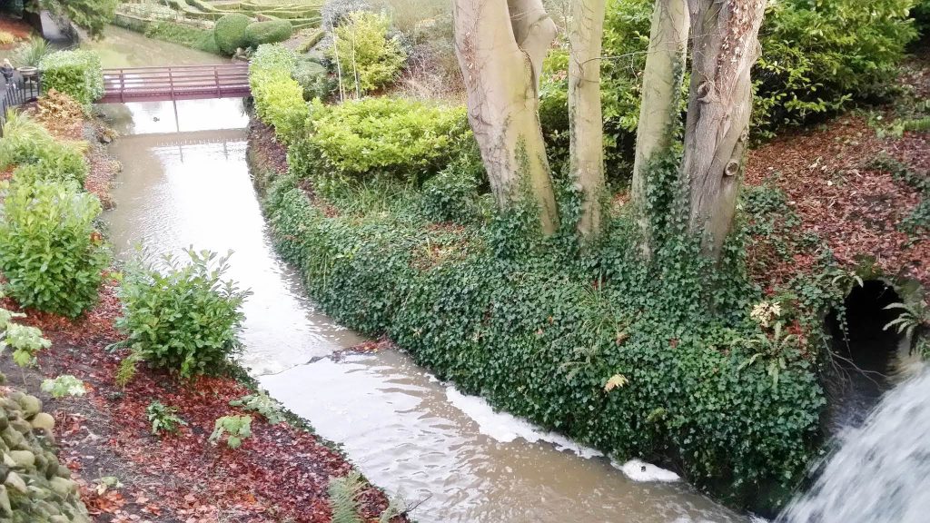
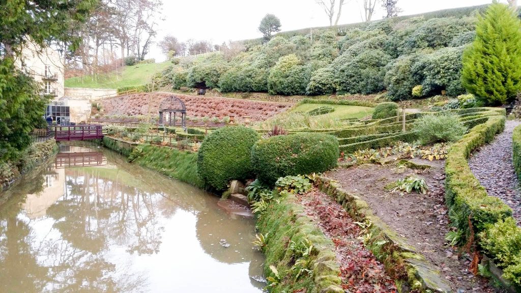
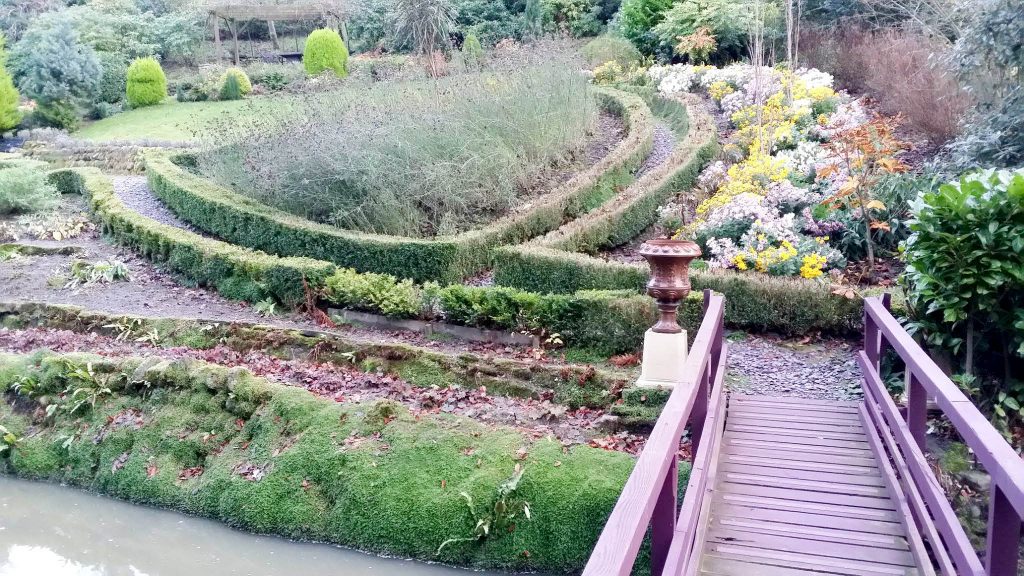
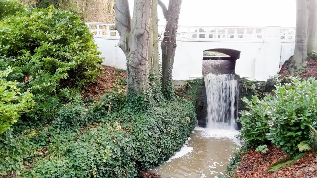
Raithwaite Hall gardens.
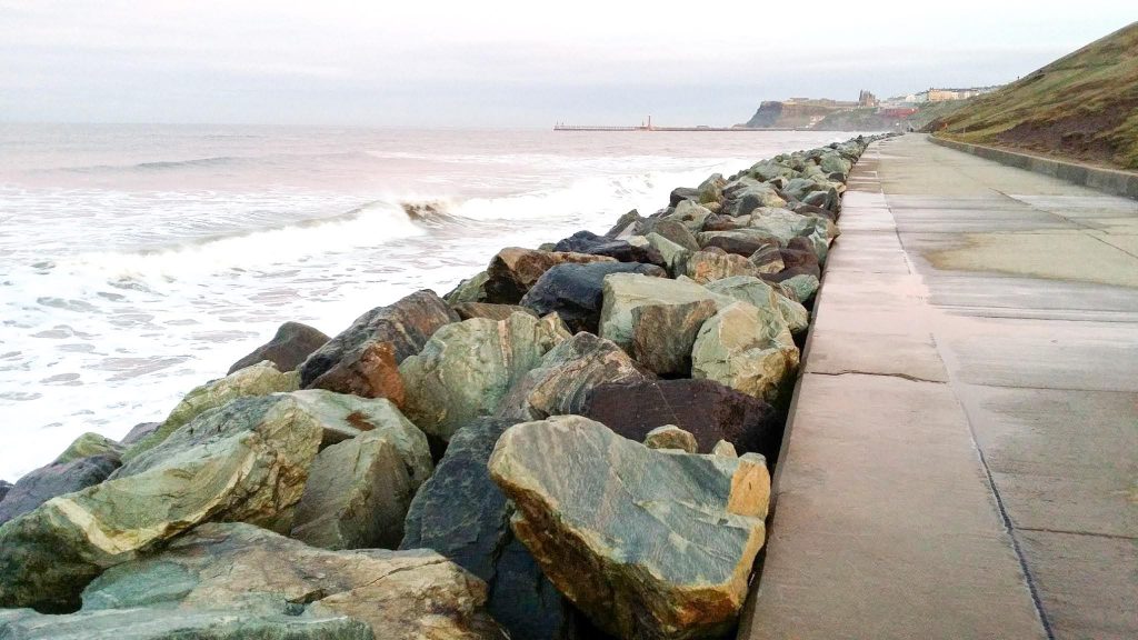
Sea defences between Sandsend and Whitby.
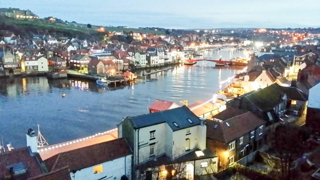
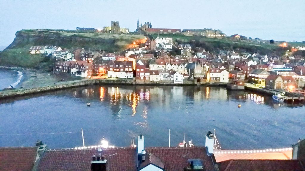
Whitby at dusk.
