South out of the village of West Witton in the direction of West Witton Moor, then west along a track to Morpeth Scar. South again, then downhill into West Burton, before continuing south-west over farmland towards Newbiggin. North through Thoralby to Aysgarth, and east to Aysgarth Falls. Finally north-east along the southern banks of the River Ure to Redmire Force, then south-east across country to return to West Witton. A 14-mile walk in the Yorkshire Dales.
Recommended Ordnance Survey Map
The best map to use on this walk is the Ordnance Survey map of the Yorkshire Dales Northern & Central Area, reference OS Explorer OL30, scale 1:25,000. It clearly displays footpaths, rights of way, open access land and vegetation on the ground, making it ideal for walking, running and hiking. The map can be purchased from Amazon in either a standard, paper version or a weatherproof, laminated version, as shown below.
Standard Version
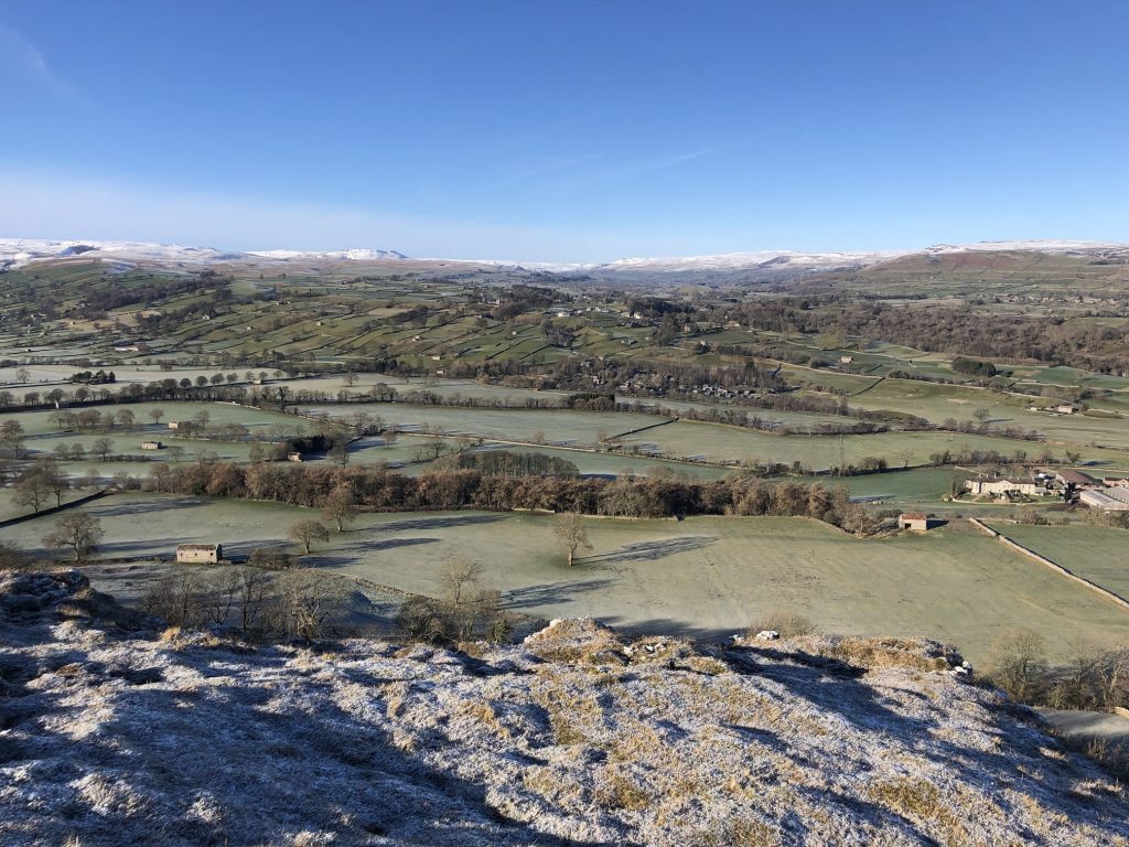
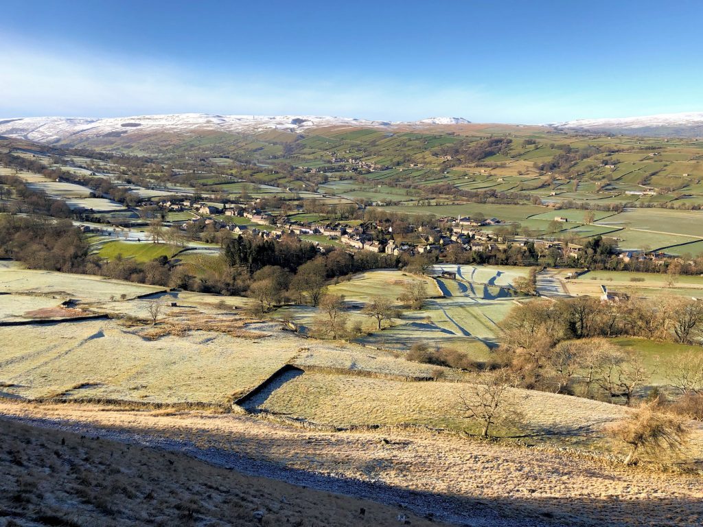
Looking west from Morpeth Scar over Wensleydale. Aysgarth can just be seen in the centre of the picture below the horizon.
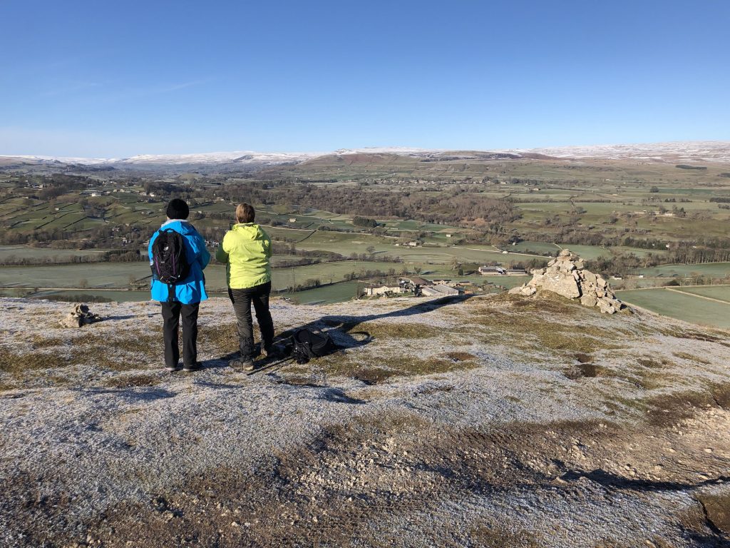
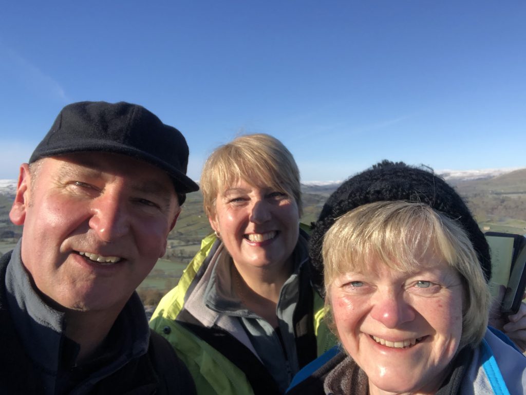
Lynn and Angy enjoying the view of Wensleydale from Morpeth Scar, Penhill.
Selfie at Morpeth Scar, Penhill.
Looking back as we leave Morpeth Scar behind. Bolton Castle, which is in the village of Castle Bolton, is just visible over the wall on the left.

Heading down towards West Burton.

Two villages on our route before heading over to Aysgarth. West Burton is in the foreground, Thoralby is in the background (centre).
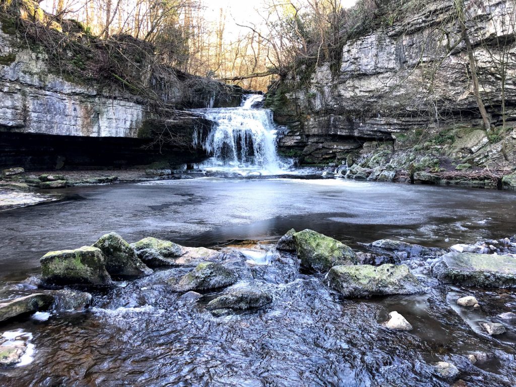
Cauldron Falls, West Burton
A short walk from West Burton’s village green brings you to this shady spot with its small waterfall and the remains of the town mill. It is known as Cauldron Falls because of the beautiful plunge pool, and was one of the spots painted by Turner on his travels in the Dales.
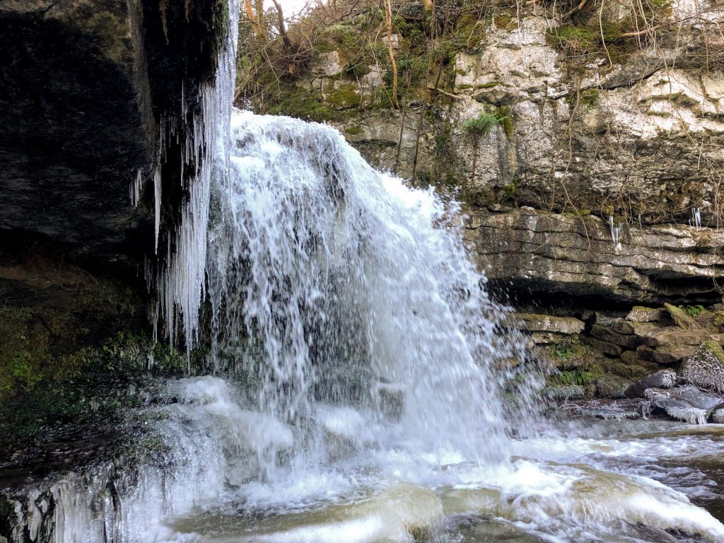
The view from almost underneath the waterfall.

Lynn and Angy on the footbridge across Walden Beck at West Burton.
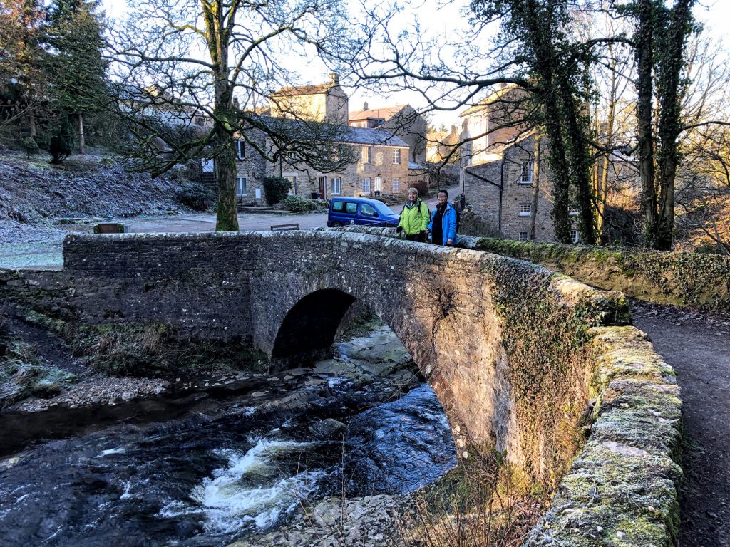
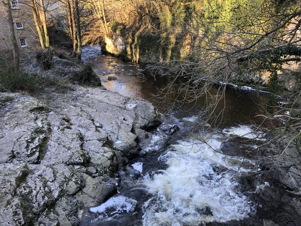
Walden Beck at West Burton.
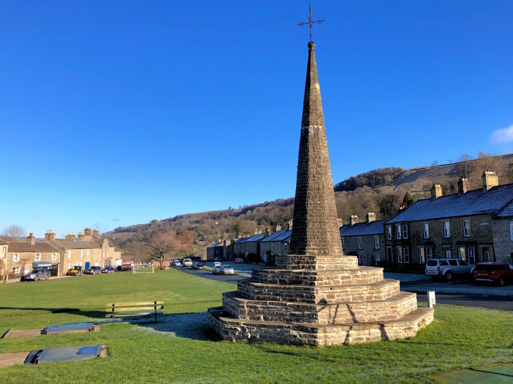
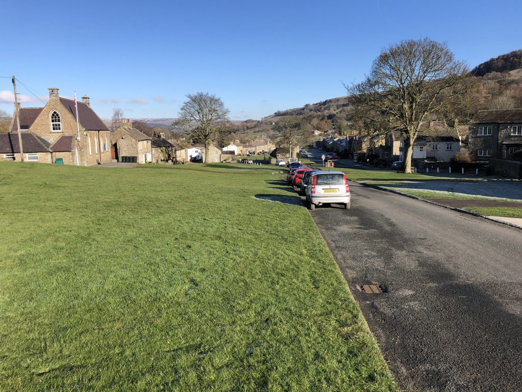
West Burton village green.
Farmland near Ox Pasture, south-west of West Burton.

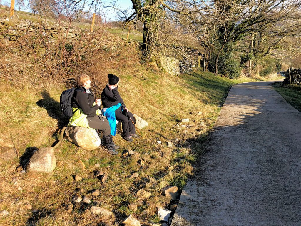
Lynn and Angy acting as if they have all the time in the world, when we need to get a move-on to avoid walking in the dark.
The imposing snow-covered Penhill.

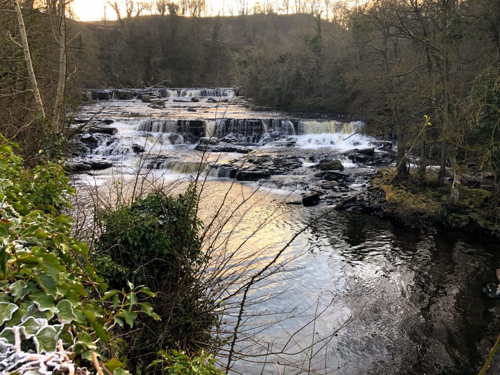
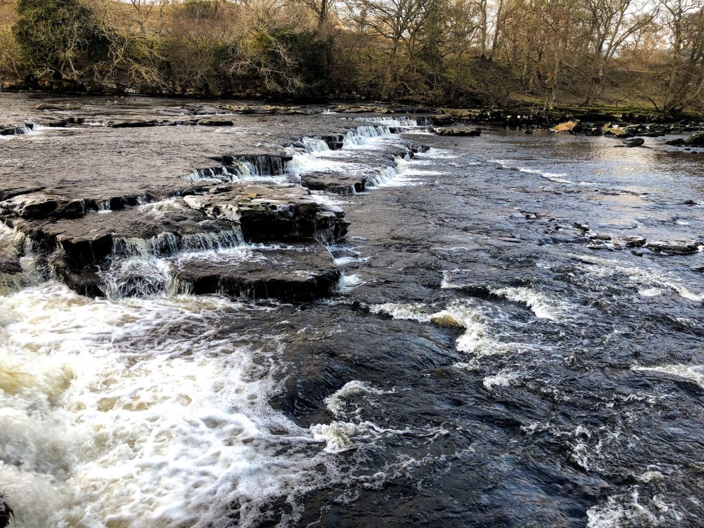
Aysgarth Falls (High Force).
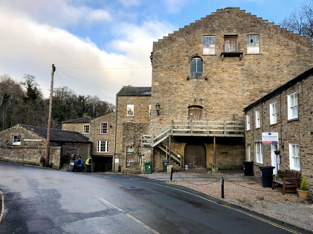
Yore Mill
Near Aysgarth Falls (High Force) is Yore Mill, built as a cotton mill in 1784. The mill is really a complex of historic buildings clustered around a picturesque bridge over the River Ure. There are several cottages, a miller’s house, stables, a blacksmith’s forge, and cart sheds. Though built to grind corn the mill was later a woollen mill, a corn mill, a flax mill, and a cotton mill before being converted to stocking manufacture. It was used briefly as a storage for cattle food before it was converted to house the Yorkshire Carriage Museum in 1969. Visit https://www.britainexpress.com/attractions.htm?attraction=2720 to read more about Yore Mill.
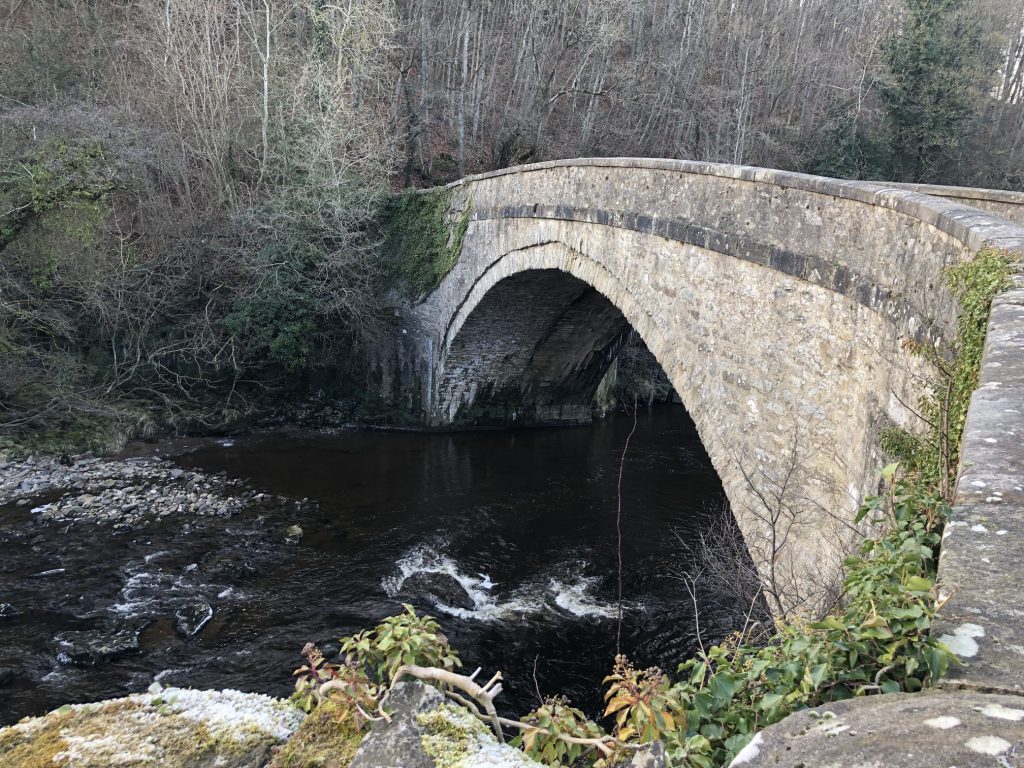
Yore Bridge, built in 1539 and stretching 71 feet across the River Ure at Aysgarth Falls.
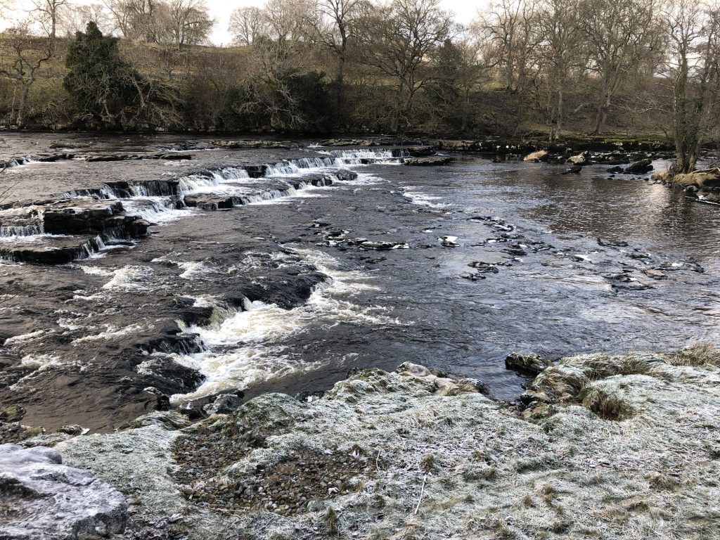
Aysgarth Falls (Lower Force).


More waterfalls on the River Ure east of Aysgarth Falls.
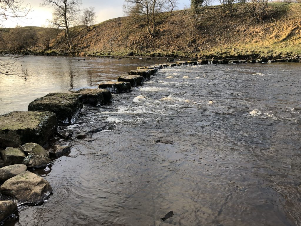
Stepping stones across the River Ure west of Redmire Force.
The River Ure.

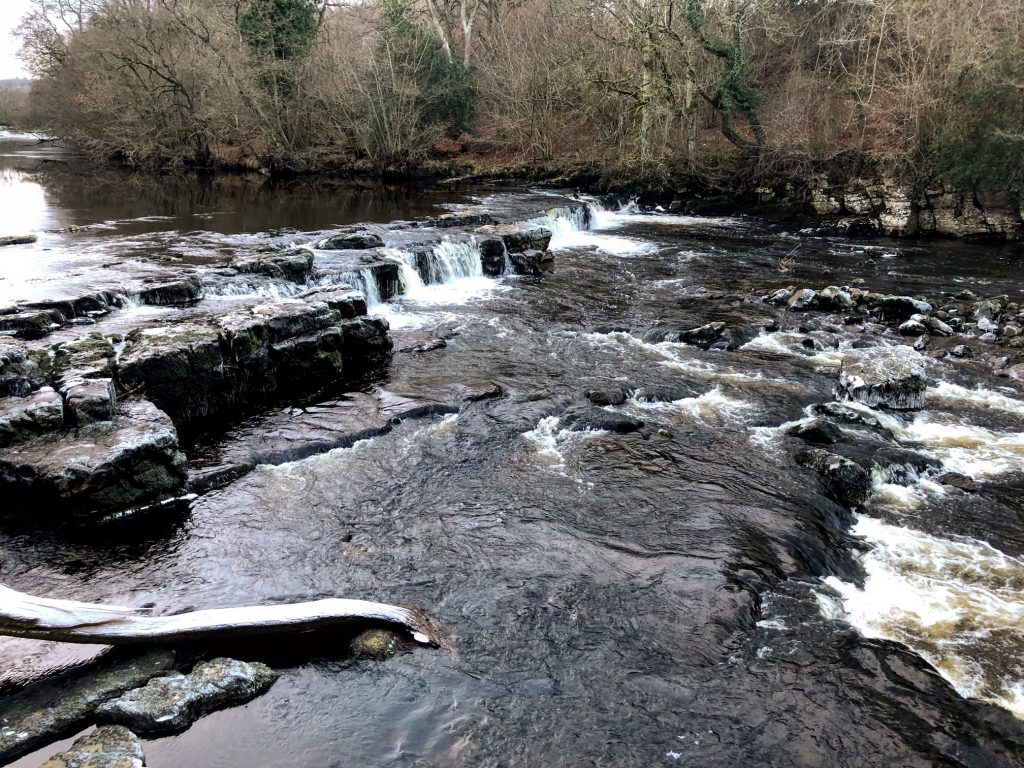
Redmire Force.