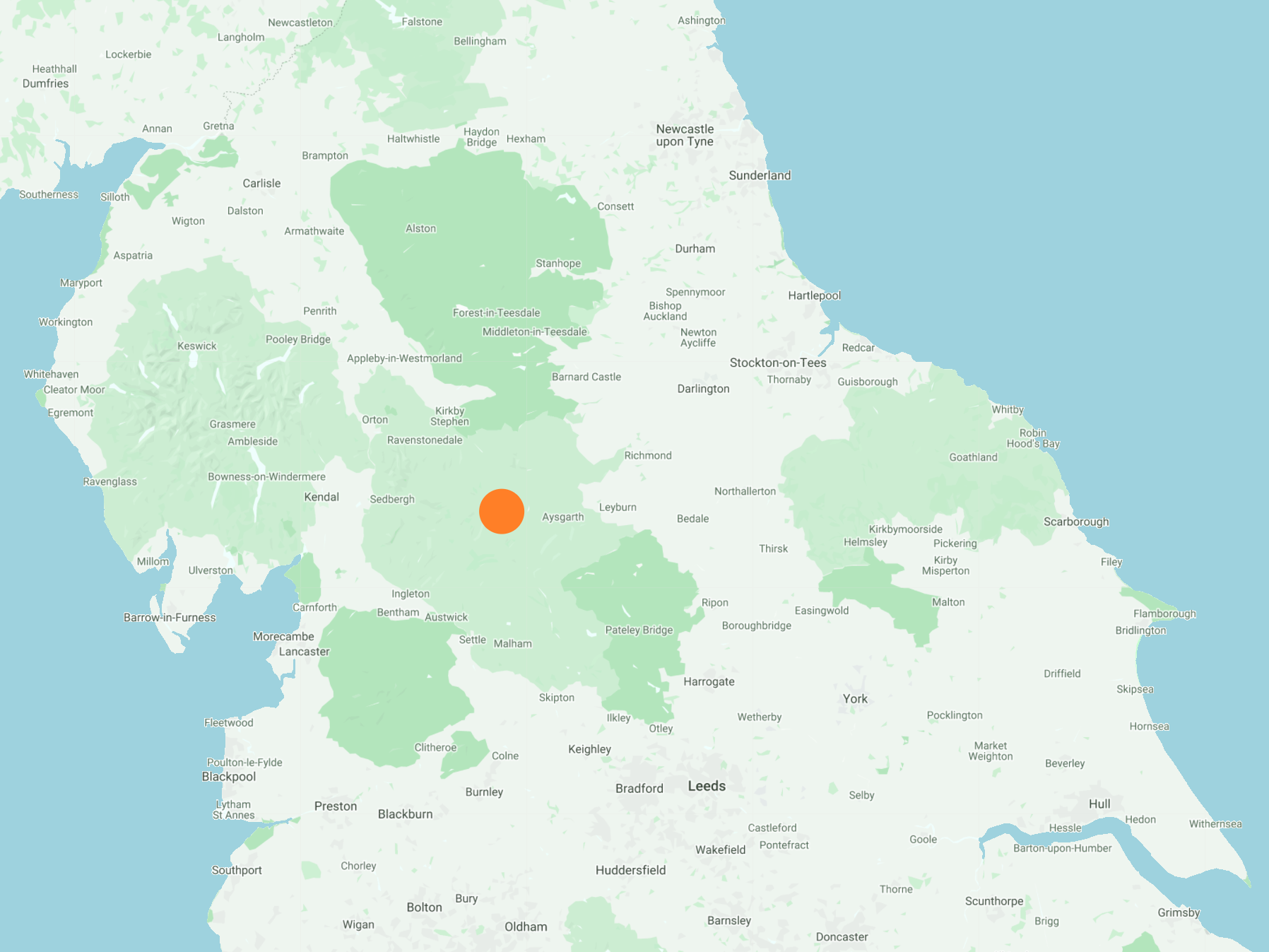
Out of Bainbridge in a southerly direction following A Pennine Journey to the northern tip of Semer Water. West uphill to Common Allotments then a horseshoe walk on Wether Fell. Downhill and north-east to the village of Burtersett, then continuing to the River Ure and following its banks back to Bainbridge. A 12-mile walk in the Yorkshire Dales.
Recommended Ordnance Survey Map
The best map to use on this walk is the Ordnance Survey map of the Yorkshire Dales Northern & Central Area, reference OS Explorer OL30, scale 1:25,000. It clearly displays footpaths, rights of way, open access land and vegetation on the ground, making it ideal for walking, running and hiking. The map can be purchased from Amazon in either a standard, paper version or a weatherproof, laminated version, as shown below.
Standard Version
Bainbridge village green.

The River Bain waterfalls in Bainbridge.

Looking north over the River Bain to Bainbridge.

Heading towards Semer Water on A Pennine Journey.

Semer Water.


Descending Wether Fell and on to Burtersett.


The village of Burtersett.


A charming self-service cafe in Burtersett.


The River Ure flowing through Wensleydale.


