East from Orton to the Stone Circle on Knots Lane, followed by a climb to the summit of Knott. North-east over Asby Winderwath Common to Great Asby, then a U-turn to head south to Whitestones on the Dales High Way. Finally south-west via Sunbiggin to Raisbeck and west back to Orton. A 12-mile walk in the Yorkshire Dales.

Recommended Ordnance Survey Map
The best map to use on this walk is the Ordnance Survey map of the Howgill Fells & Upper Eden Valley, reference OS Explorer OL19, scale 1:25,000. It clearly displays footpaths, rights of way, open access land and vegetation on the ground, making it ideal for walking, running and hiking. The map can be purchased from Amazon in either a standard, paper version or a weatherproof, laminated version, as shown below.
Standard Version
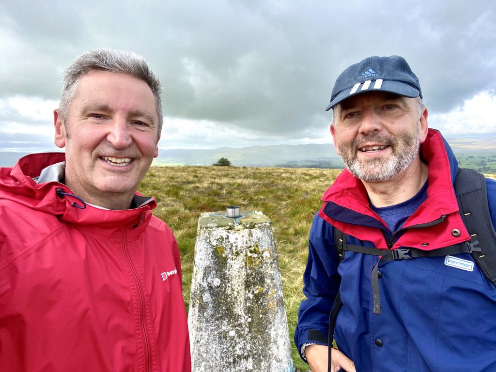
Mark and I at the summit of Knott, height 412 metres (1352 feet).
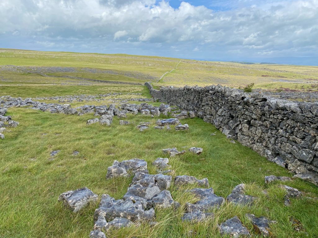
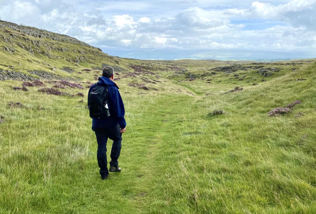
Using the wall to guide us from the Knott summit back to the public bridleway on Great Asby Scar.
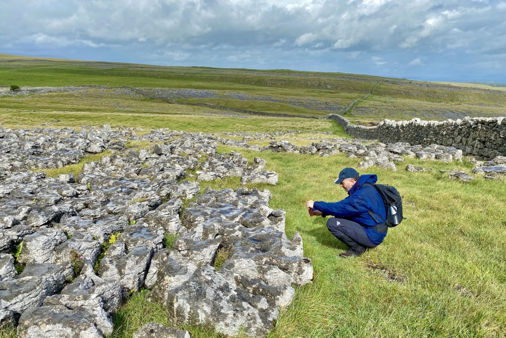
Limestone pavement on Great Asby Scar. During glaciation, ice scraped away the topsoil to reveal the bare rock underneath. Rainwater, which is a weak carbonic acid, then started to dissolve the limestone.
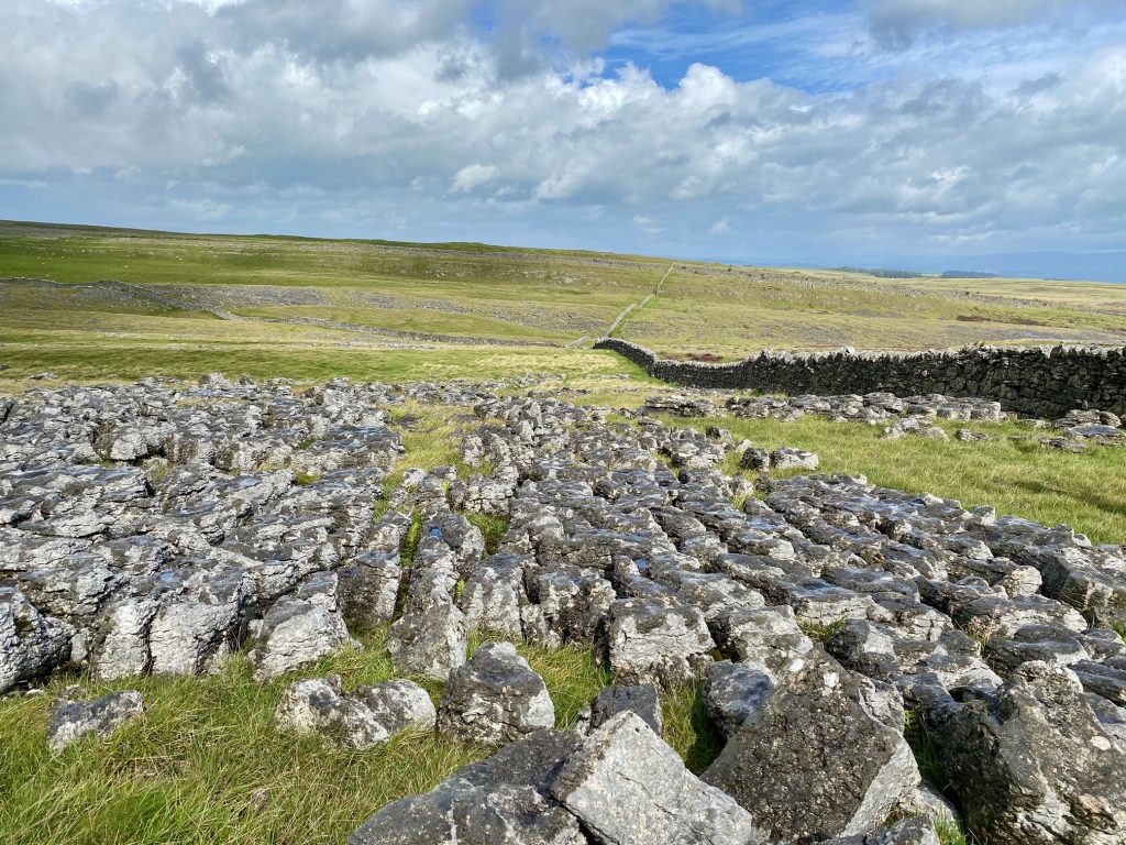
This process of chemical weathering widened and deepened the cracks to form grykes and left exposed blocks called clints. Limestone pavement is common in the Yorkshire Dales.
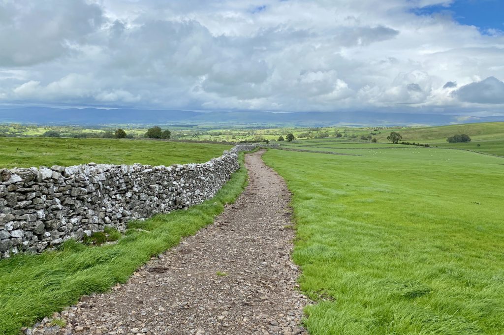
Following the bridleway across Asby Winderwath Common.
The Dales High Way near Maisongill, south of Great Asby. On the horizon are the hills and mountains of the North Pennines.