South-east from Sandsend to Whitby, initially on Sandsend Road then alongside Whitby Sands. Up the 199 steps to Whitby Abbey, then continuing along the Cleveland Way cliff top path to Gnipe Howe. South-west to Hawsker, before joining the Cinder Track dismantled railway line and heading to Larpool Viaduct. Finally a look around Whitby town centre then back to Sandsend. A 14-mile walk along the Yorkshire Coast.

Recommended Ordnance Survey Map
The best map to use on this walk is the Ordnance Survey map of the North York Moors Eastern Area, reference OS Explorer OL27, scale 1:25,000. It clearly displays footpaths, rights of way, open access land and vegetation on the ground, making it ideal for walking, running and hiking. The map can be purchased from Amazon in either a standard, paper version or a weatherproof, laminated version, as shown below.
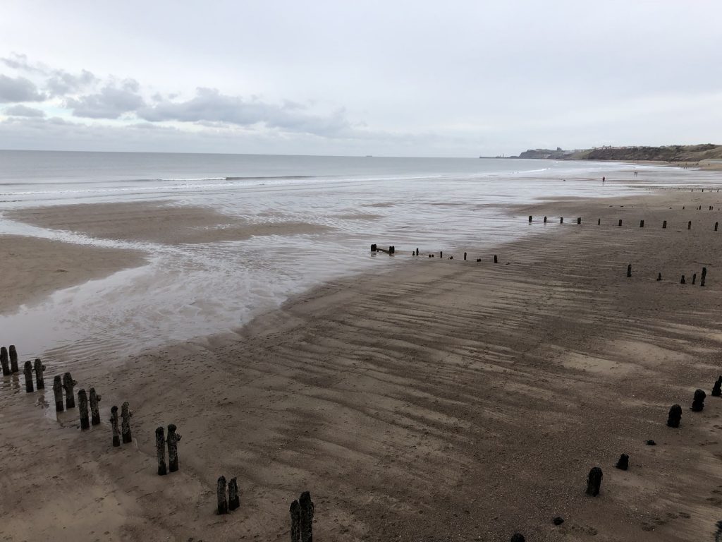
The northern end of Sandsend Beach.
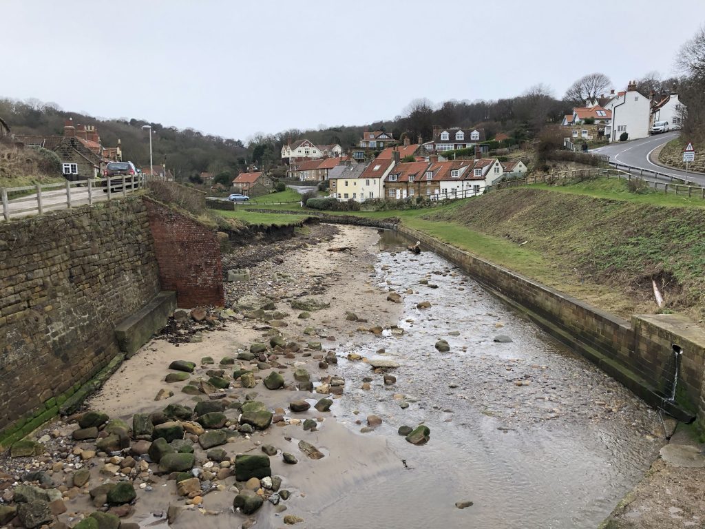
A rather dry Sandsend Beck.
Sandsend Beach, with Whitby Abbey just visible on the cliff top.
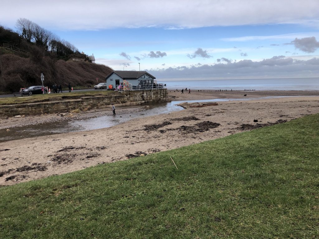
East Row Beck flowing into the sea at Sandsend.
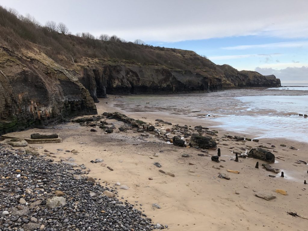
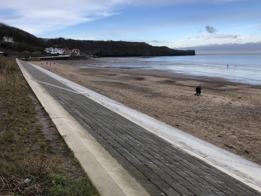
Sea defences between Sandsend and Whitby.
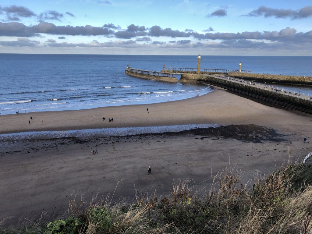
Looking over Whitby Sands towards the east and west piers, each with a lighthouse.

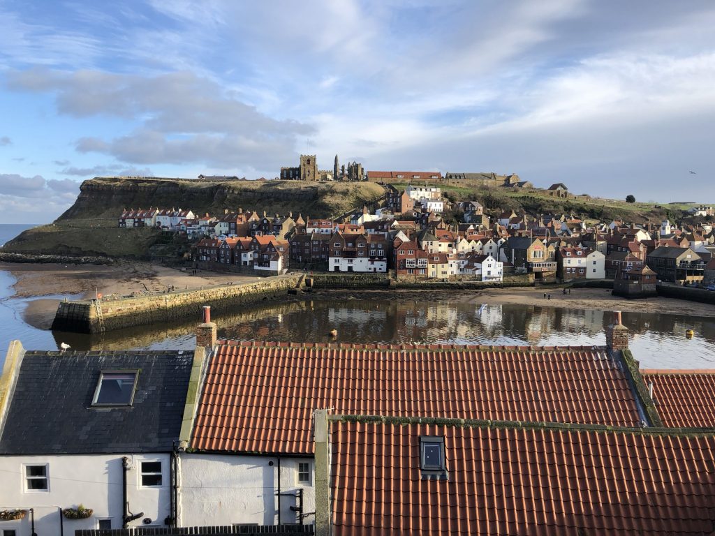
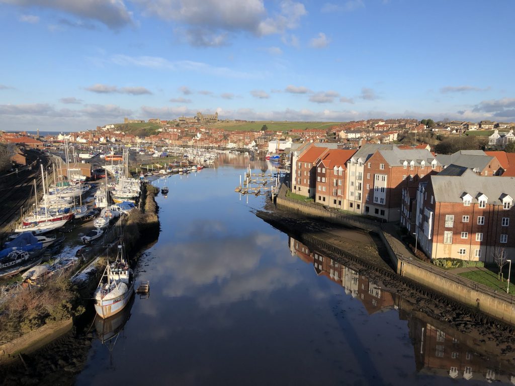
The view over the River Esk towards Whitby ‘Old Town’, with Whitby Abbey and St Mary’s Church visible on the cliff top.
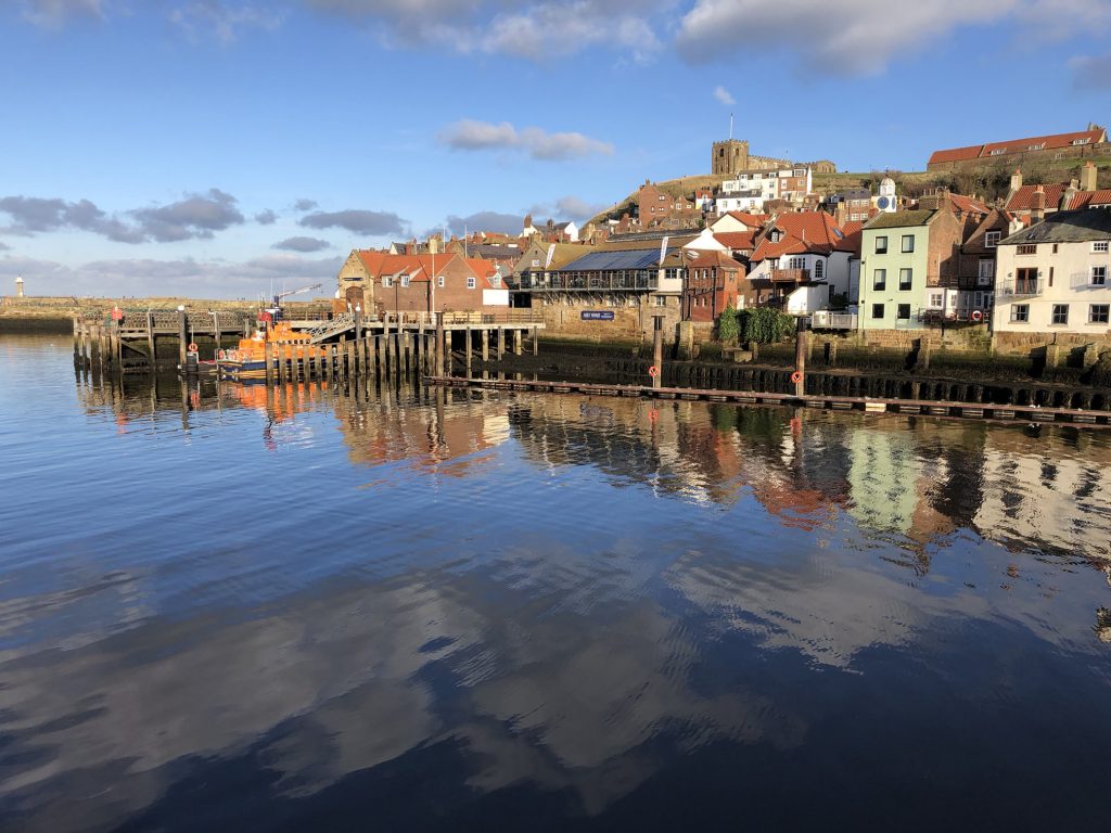
The view over the River Esk towards Whitby ‘Old Town’, with St Mary’s Church visible on the cliff top.
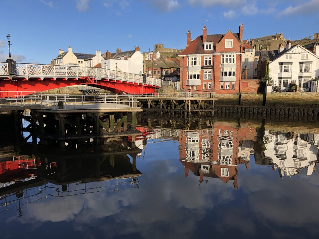
Whitby Swing Bridge and The Dolphin public house.
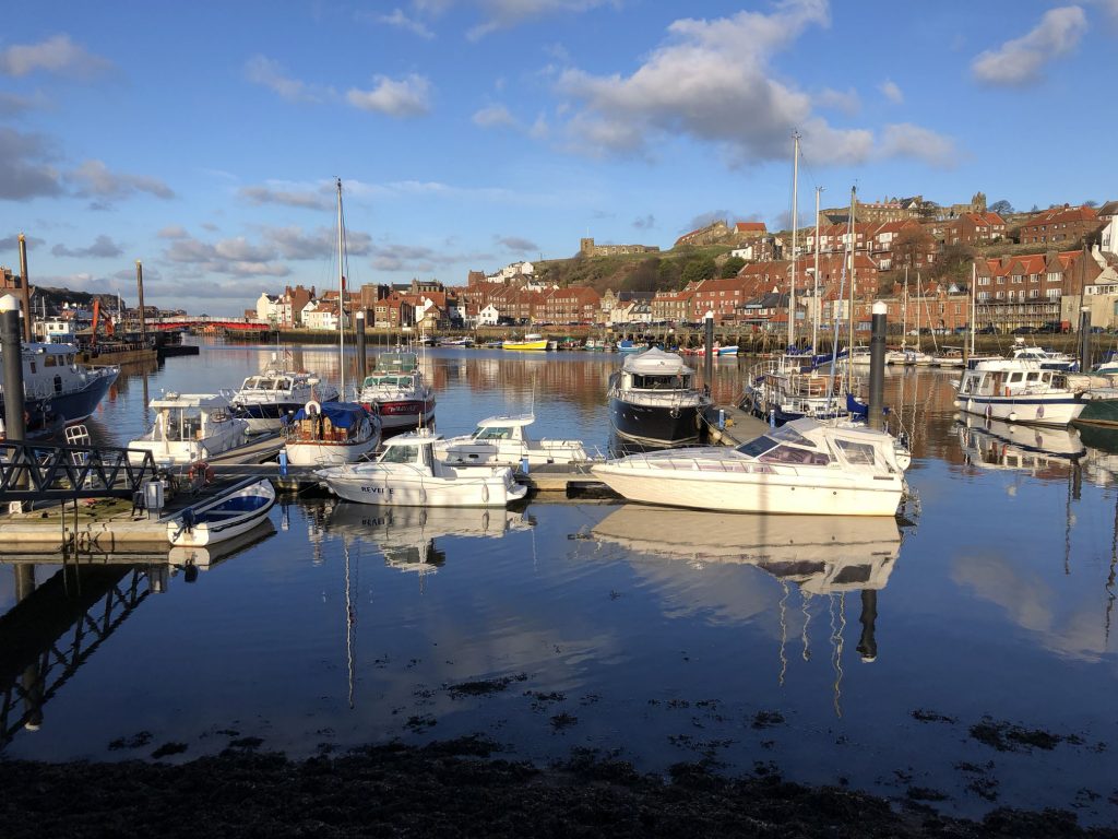
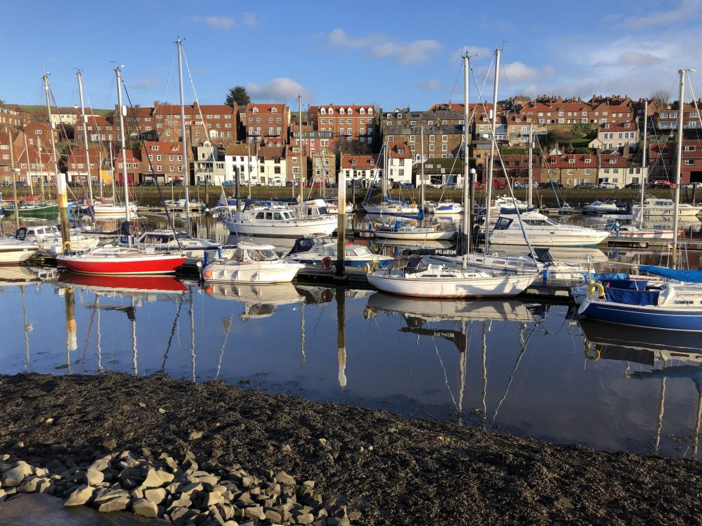
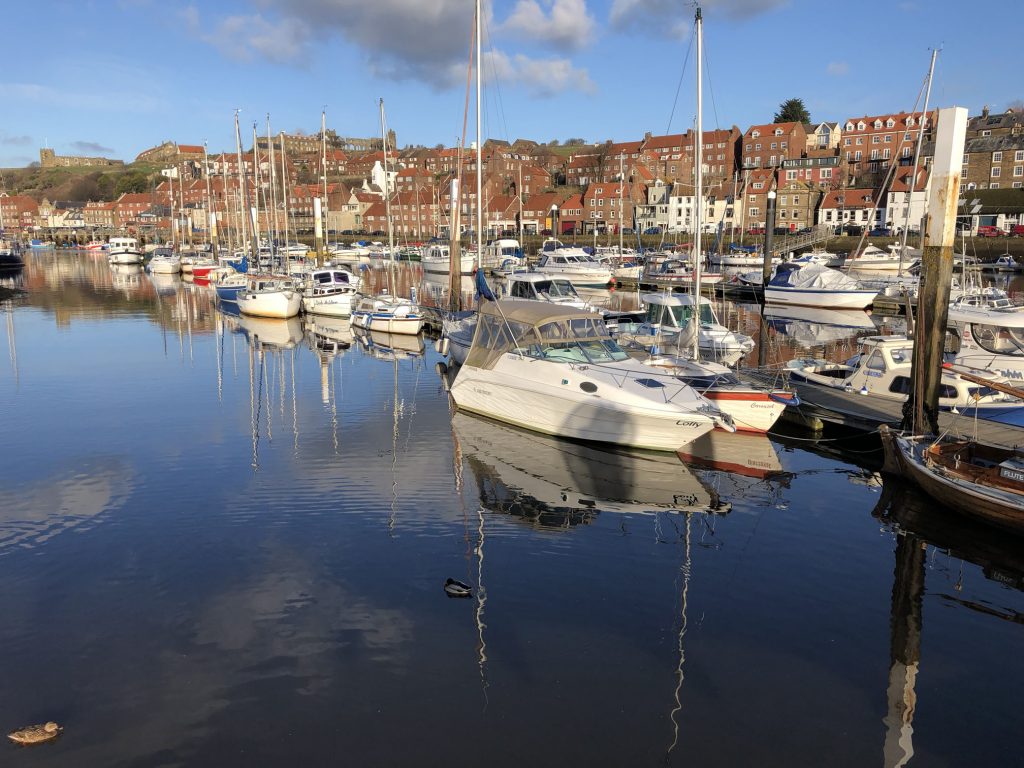
Whitby Harbour.
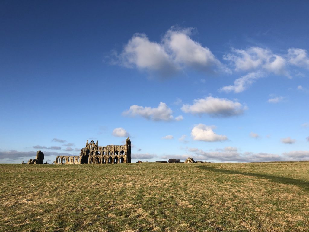
Whitby Abbey.