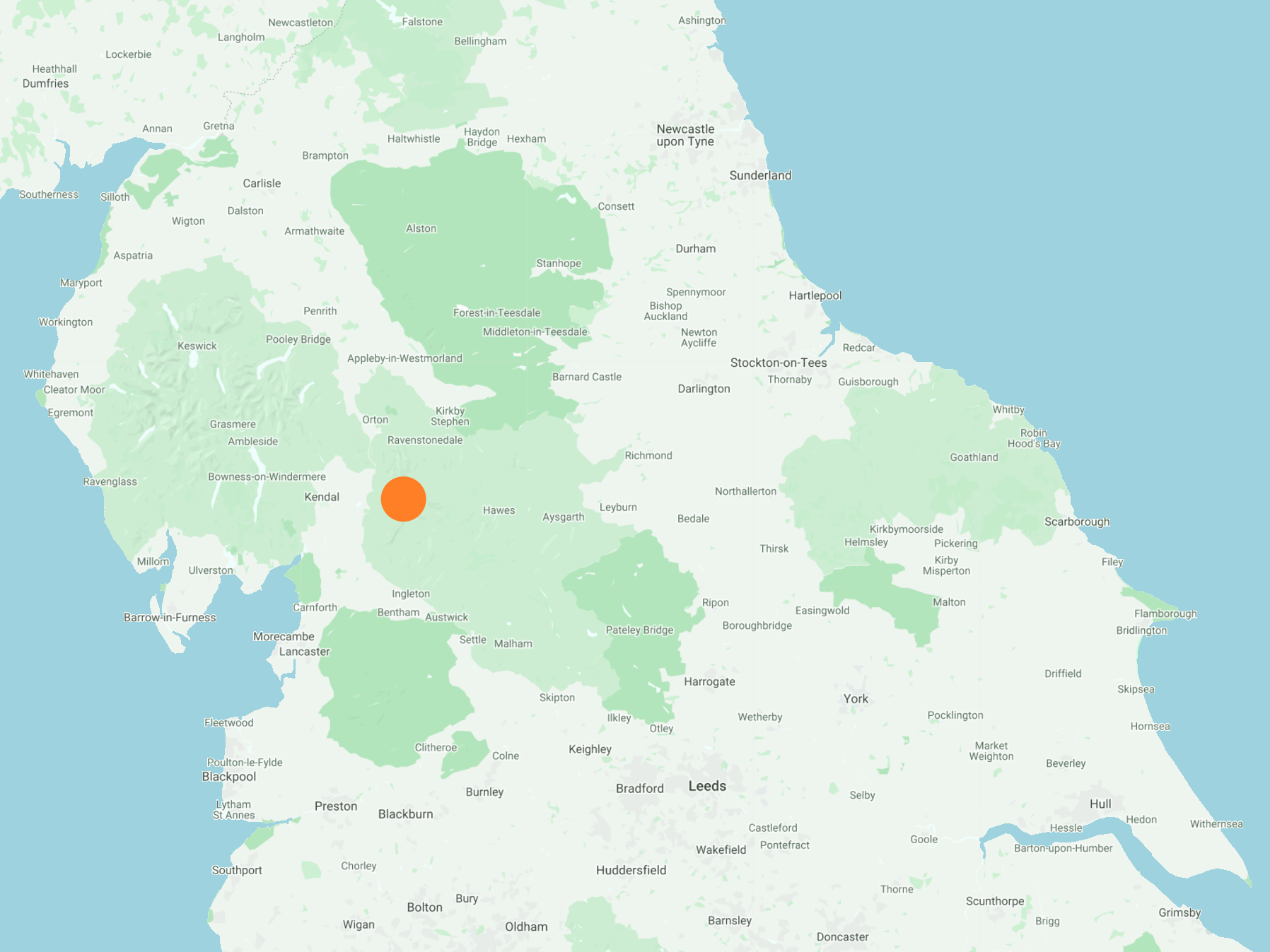
South-east from the car park on the A684 to Aye Gill Pike, then east via Rise Hill and Little Snaizwold Fell to the bridleway near Black Hill. South-west along High Ellershaw Edge to Cowgill and west through Dentdale to the village of Dent, using minor roads and the Dales Way which generally follow the course of the River Dee. Finally north-west out of Dent to Barth Bridge and north back to the starting point by way of Lunds and Longstone Fell. A 14-mile walk in the Yorkshire Dales.

Recommended Ordnance Survey Map
The best map to use on this walk is the Ordnance Survey map of the Yorkshire Dales Southern & Western Area, reference OS Explorer OL2, scale 1:25,000. It clearly displays footpaths, rights of way, open access land and vegetation on the ground, making it ideal for walking, running and hiking. The map can be purchased from Amazon in either a standard, paper version or a weatherproof, laminated version, as shown below.
Standard Version
The view north-west towards the Howgill Fells from woodland near Whitbeck.

Triangulation pillar on Aye Gill Pike summit, height 556 metres (1824 feet).

The view from Aye Gill Pike towards Great Coum and Crag Hill on the other side of the Dentdale valley.

Looking south-east from Rise Hill.

The view east from the bridleway on High Ellershaw Edge towards Dodderham Moss. The course of the Settle to Carlisle railway line can be seen below the forest.

The grassy bridleway on High Ellershaw Edge leading down into Dentdale.

The tiny hamlets of Lea Yeat and Cowgill become visible as we descend from High Ellershaw Edge.

Beautiful farmland and stone barn just north-west of Cowgill.


St John the Evangelist in Cowgill, a Grade 2 listed church dating back to 1869.


The River Dee as seen from Ewegales Bridge in Cowgill.

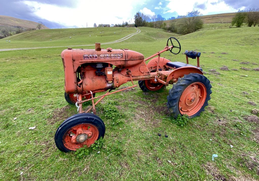
Old abandoned tractors on farmland at Ewegales, just outside Cowgill.


The view north across Dentdale from the minor road near Tub Hole Barn.

Fascinating erosion of the rocky Dee riverbed.

Stepping stones near the confluence of the River Dee and Deepdale Beck.

The view of Dent from the Dales High Way, on the far side of an attractive field of bright yellow dandelions.

Grade 2 listed Church Bridge just outside Dent, probably built in the late 18th century.

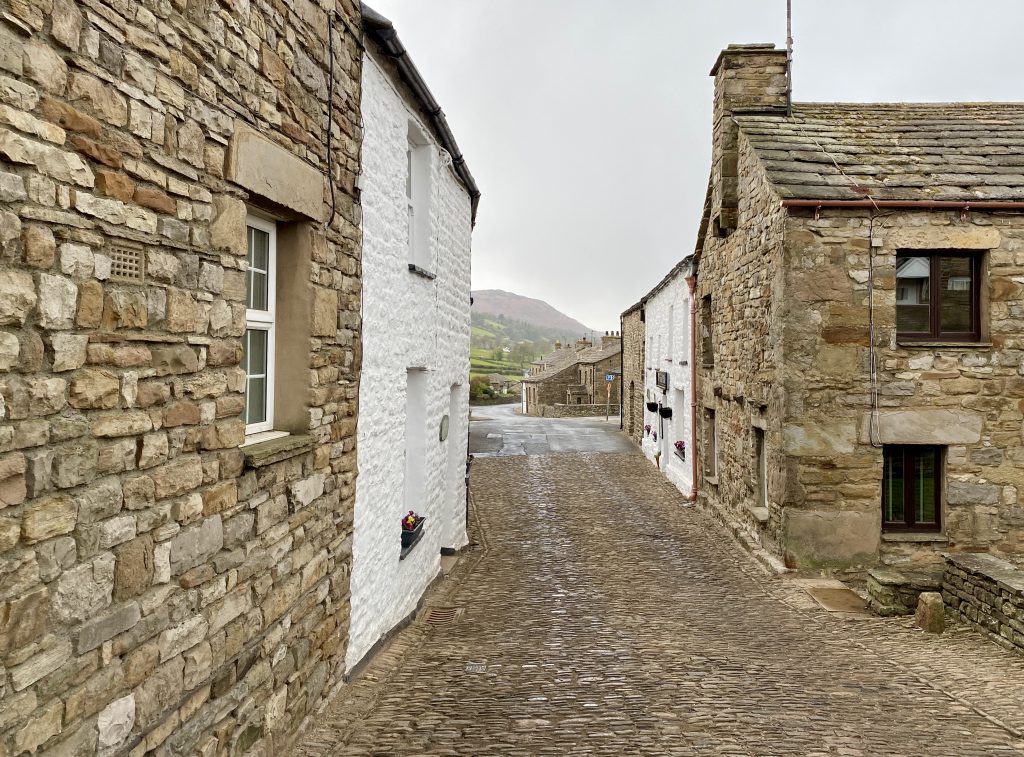
The lovely village of Dent, with its narrow, cobbled main street, white-walled cottages and ancient village church.


The Dent Village Heritage Centre & Museum.

Muscovy duck at Lunds.

Crossing Brockought Hill to return to the car park on the A684, with the distinctive rolling hills of the Howgills in the distance.

