North from Kettlewell to Cam Head along Top Mere Road, then continuing further north along paths and bridleways to the summit of Buckden Pike. West downhill to meet A Pennine Journey, then south into Buckden village centre. The return to Kettlewell is via the Dales Way, which follows the course of the River Wharfe. A 12-mile walk in the Yorkshire Dales.

Recommended Ordnance Survey Map
The best map to use on this walk is the Ordnance Survey map of the Yorkshire Dales Northern & Central Area, reference OS Explorer OL30, scale 1:25,000. It clearly displays footpaths, rights of way, open access land and vegetation on the ground, making it ideal for walking, running and hiking. The map can be purchased from Amazon in either a standard, paper version or a weatherproof, laminated version, as shown below.
Standard Version
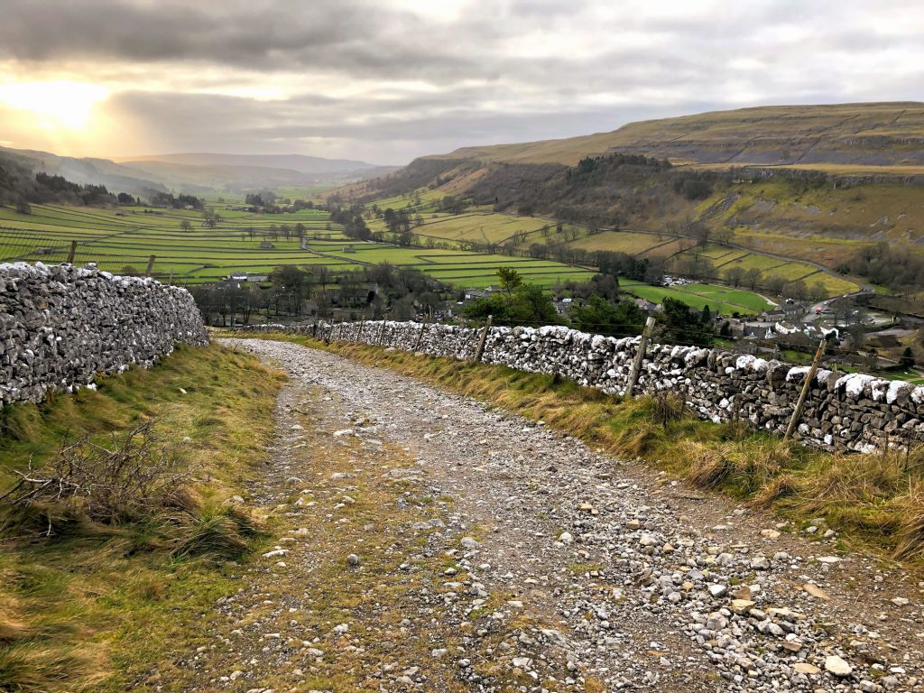
The view south over Wharfedale from Top Mere Road, Kettlewell.
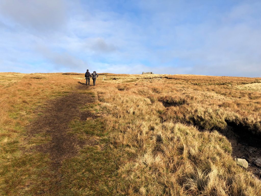
Two walkers heading uphill on their way to Buckden Pike.
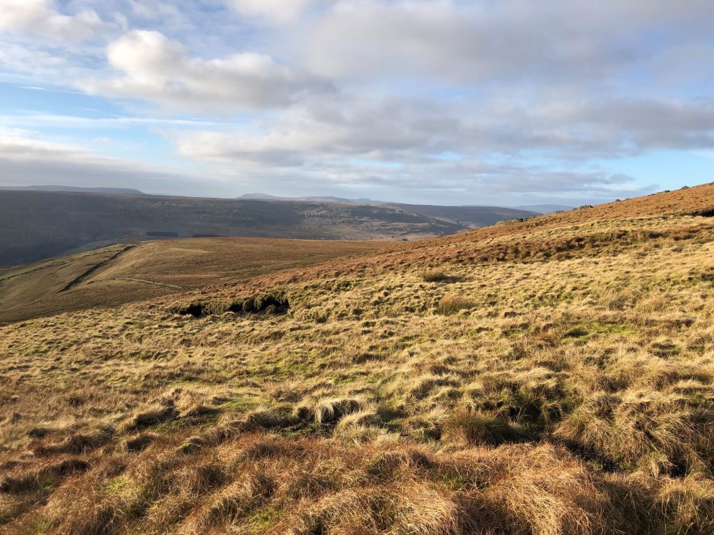
The view west from Starbotton Fell. Pen-y-Ghent and Ingleborough are just visible on the horizon (centre).
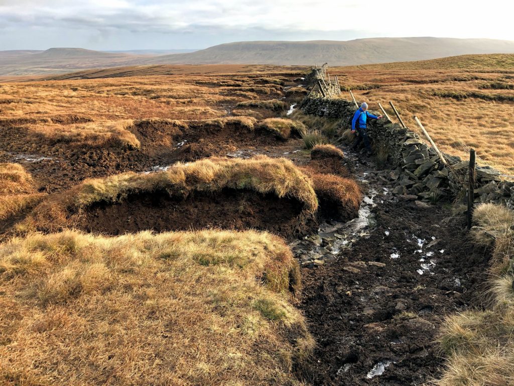
Mike crossing boggy ground on the way to Buckden Pike.
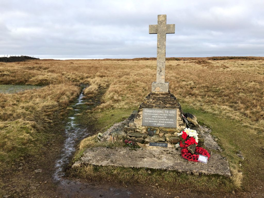
Memorial Cross less than a mile south of Buckden Pike. The cross is dedicated to the memory of five Polish airmen of the Polish Air Force 18th Polish Operational Training Unit based at RAF Bramcote who crashed their Wellington Bomber on 30 January 1942. The memorial was created by the sole survivor of the crash Jozef ‘Joe’ Fusniak, and completed on 8 August 1973. Fusniak died in July 2017. Fragments of the aircraft are embedded in the concrete base of the cross.
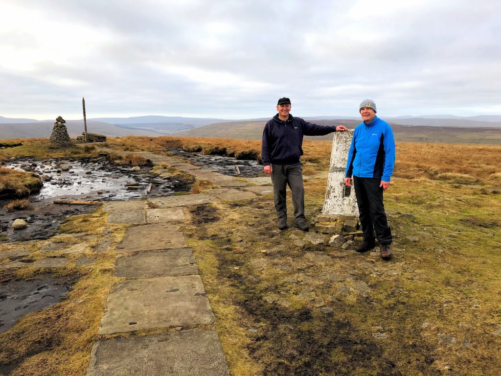
Mike and I at the summit of Buckden Pike, height 702 metres (2303 feet).
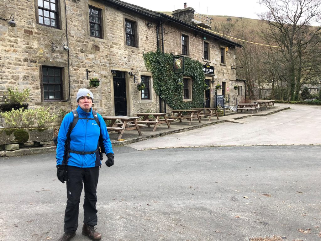
A very unhappy chappy! Mike realises that the pub is closed.
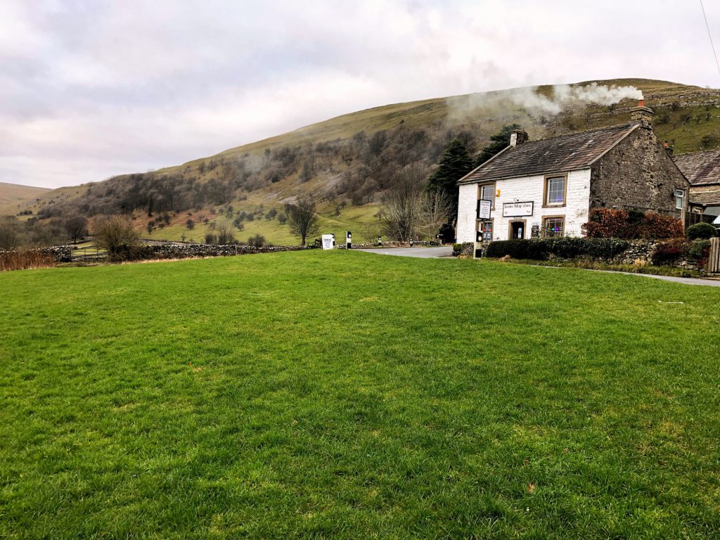
Buckden Village Store.
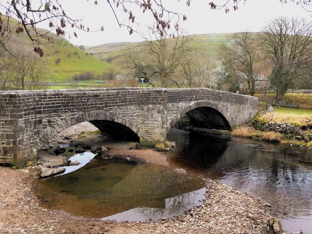
Stone bridge across the River Wharfe at Buckden.
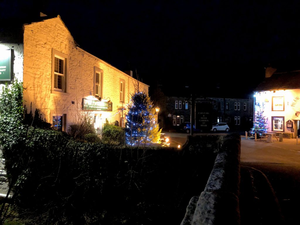
Kettlewell. Both pubs were open!