South from Hawes through the village of Gayle and east across farmland to Burtersett. Generally south to join Cam High Road near Swallow Hole including a detour to the summit of Yorburgh. North-east for 3½ miles to Bainbridge then north to Yorescott via Yore Bridge. West to Sedbusk by way of Shaw Cote and Litherskew before returning to Hawes via Haylands Bridge. A 12-mile walk in the Yorkshire Dales.
Recommended Ordnance Survey Map
The best map to use on this walk is the Ordnance Survey map of the Yorkshire Dales Northern & Central Area, reference OS Explorer OL30, scale 1:25,000. It clearly displays footpaths, rights of way, open access land and vegetation on the ground, making it ideal for walking, running and hiking. The map can be purchased from Amazon in either a standard, paper version or a weatherproof, laminated version, as shown below.
Standard Version
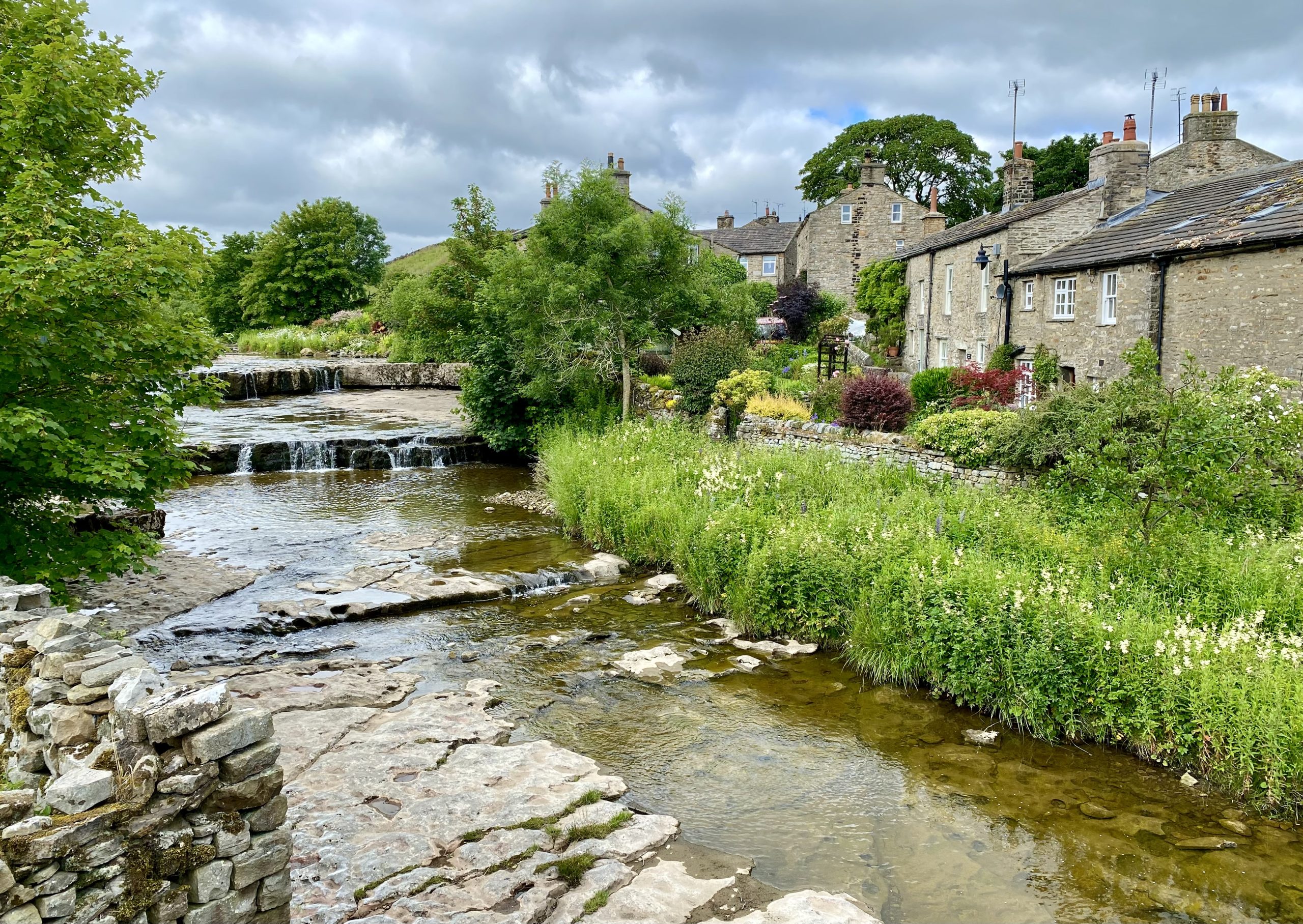
Gayle Beck flowing through Gayle village centre.
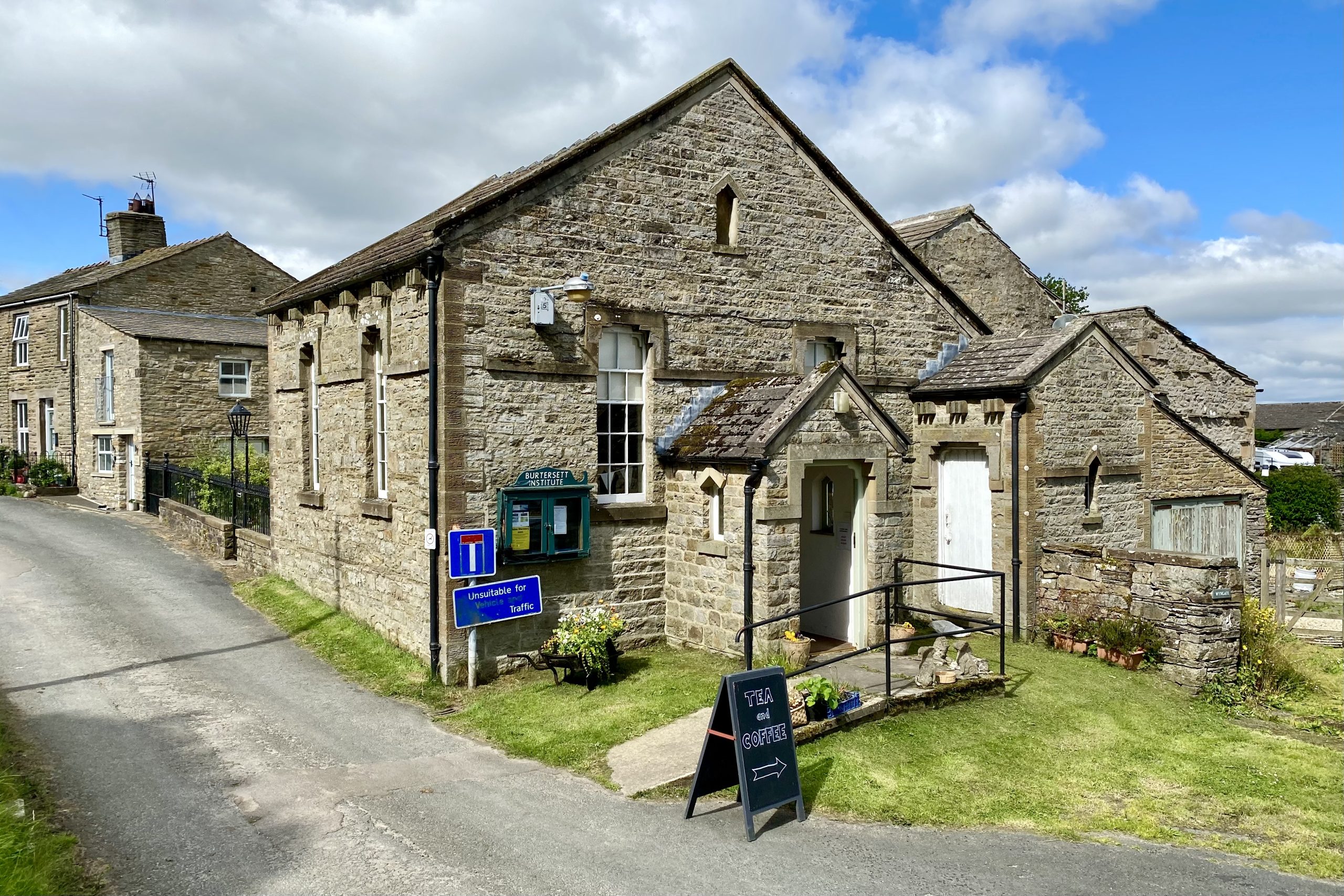
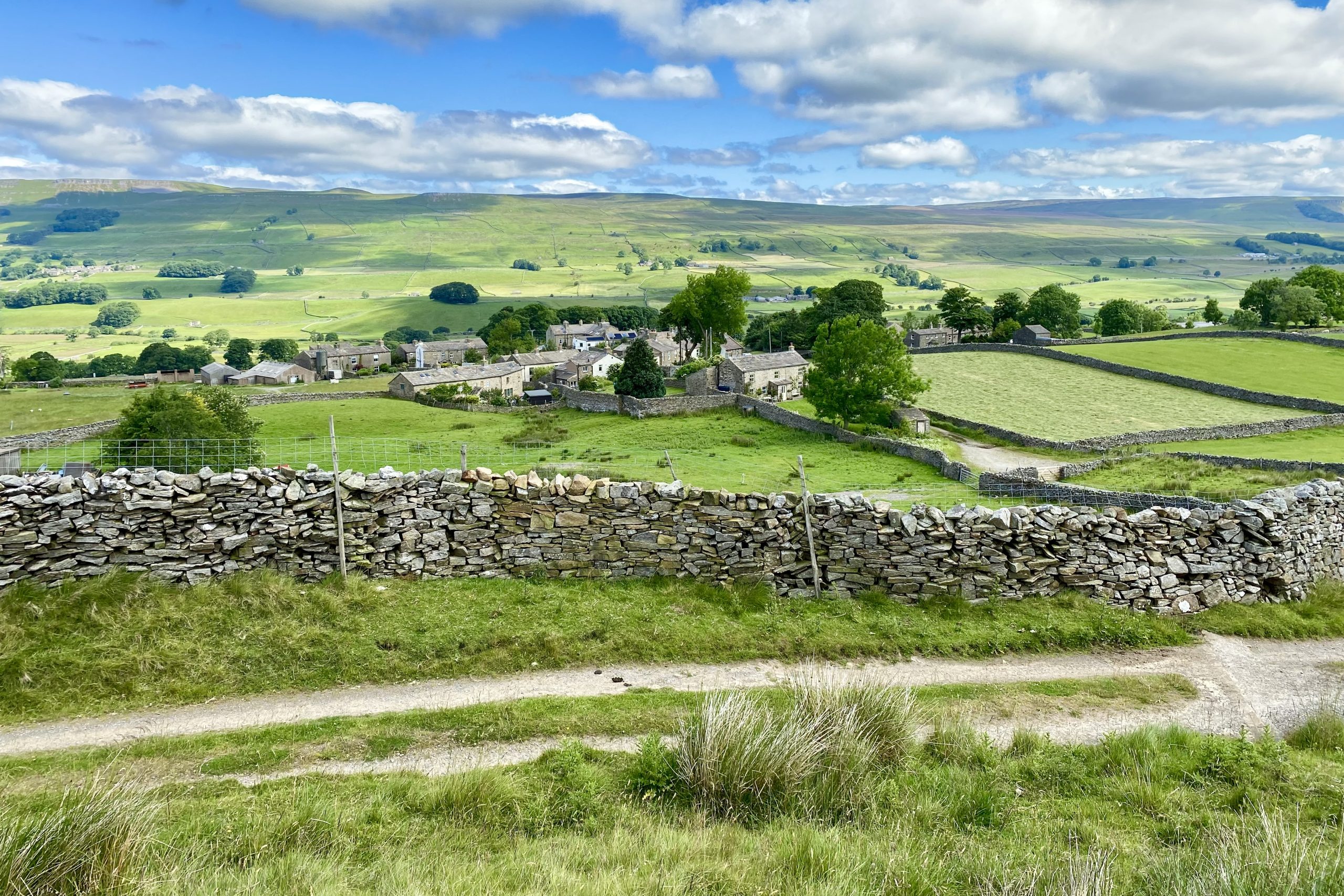
Burtersett Institute in Burtersett village centre.
Looking down upon Burtersett from the track leading up to Yorburgh.
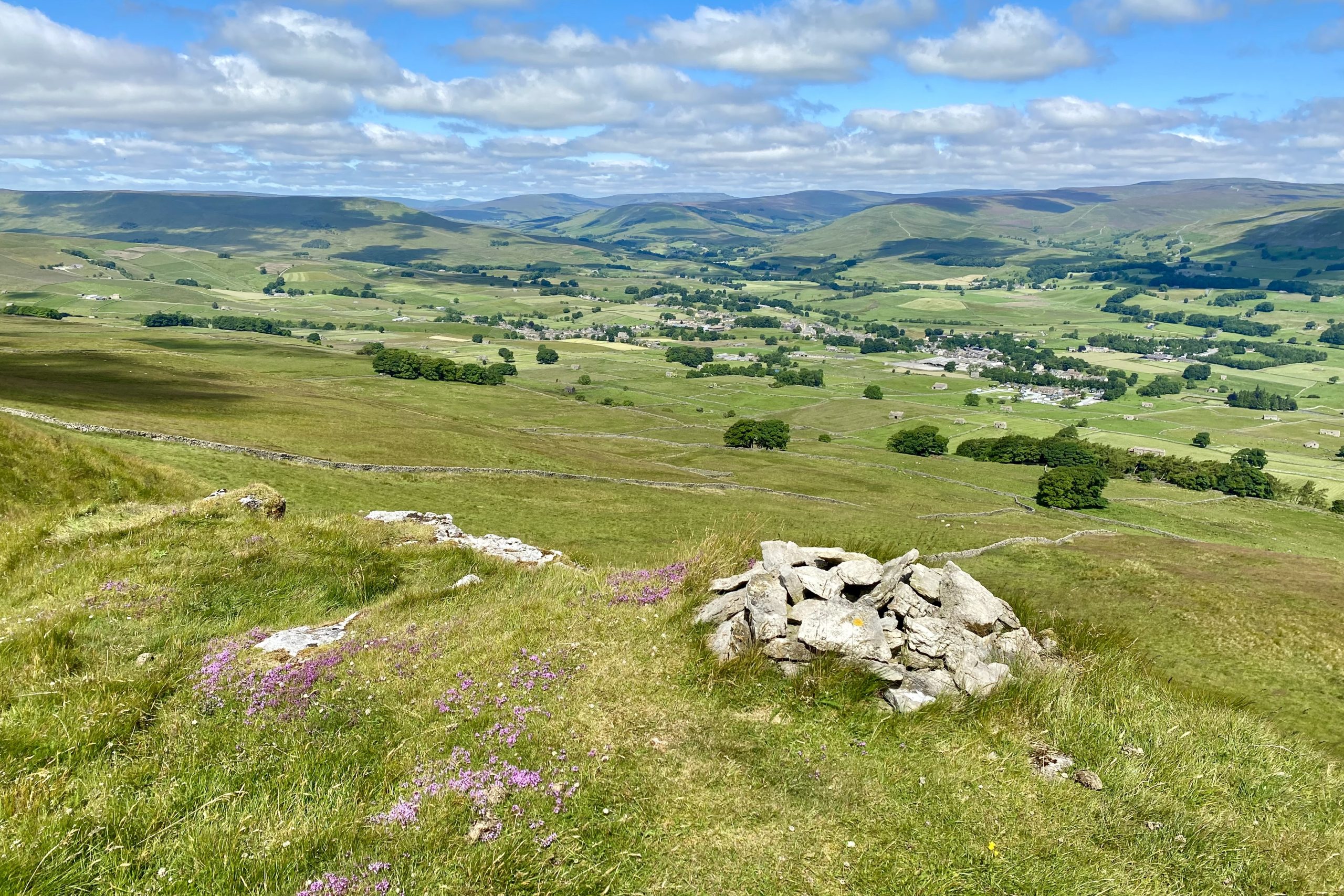
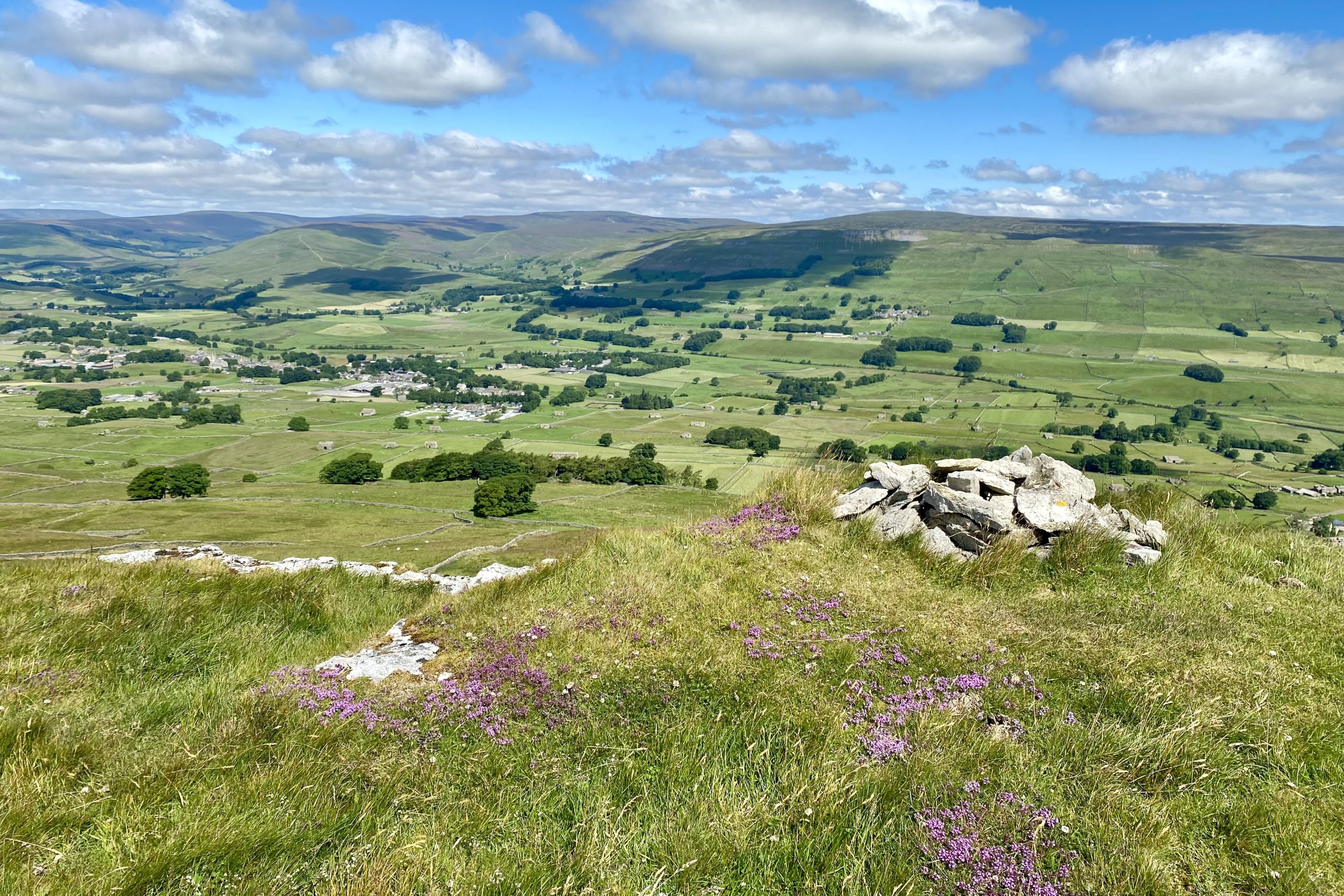
The summit of Yorburgh, height 515 metres (1690 feet), with superb views of the hills and mountains to the north-west, including Great Shunner Fell, Swarth Fell and Wild Boar Fell.
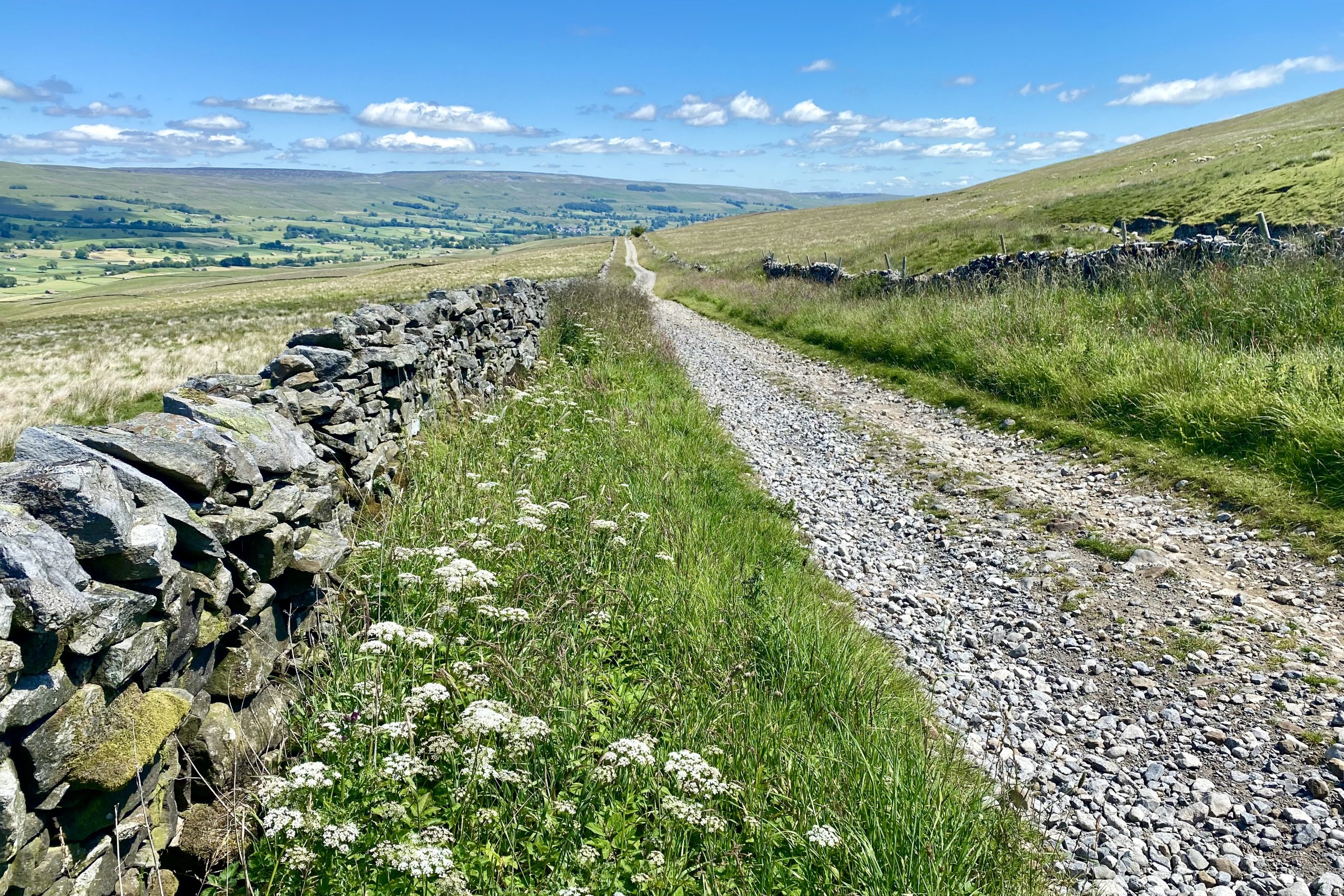
The start of the 3½ mile trek along Cam High Road to Bainbridge.
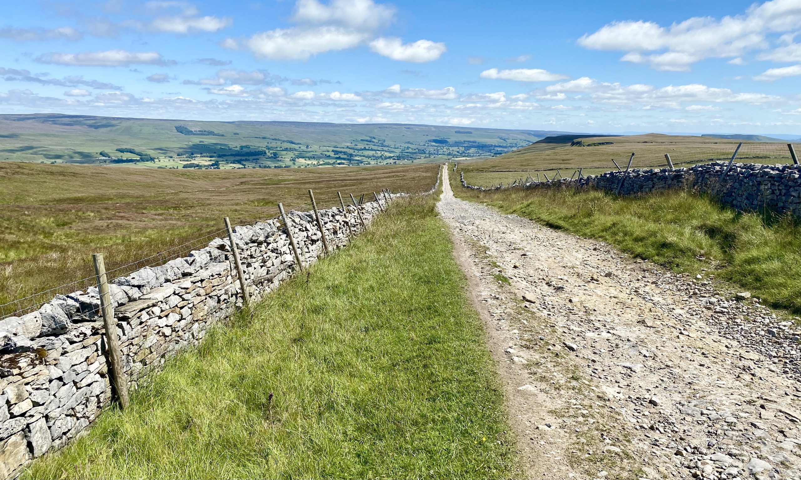
Cam High Road, an old Roman road, is perfectly straight. For the most part it is covered in loose stones and walking along it becomes tiresome. However the route is downhill, the views are spectacular and there are certainly no navigational problems to overcome.
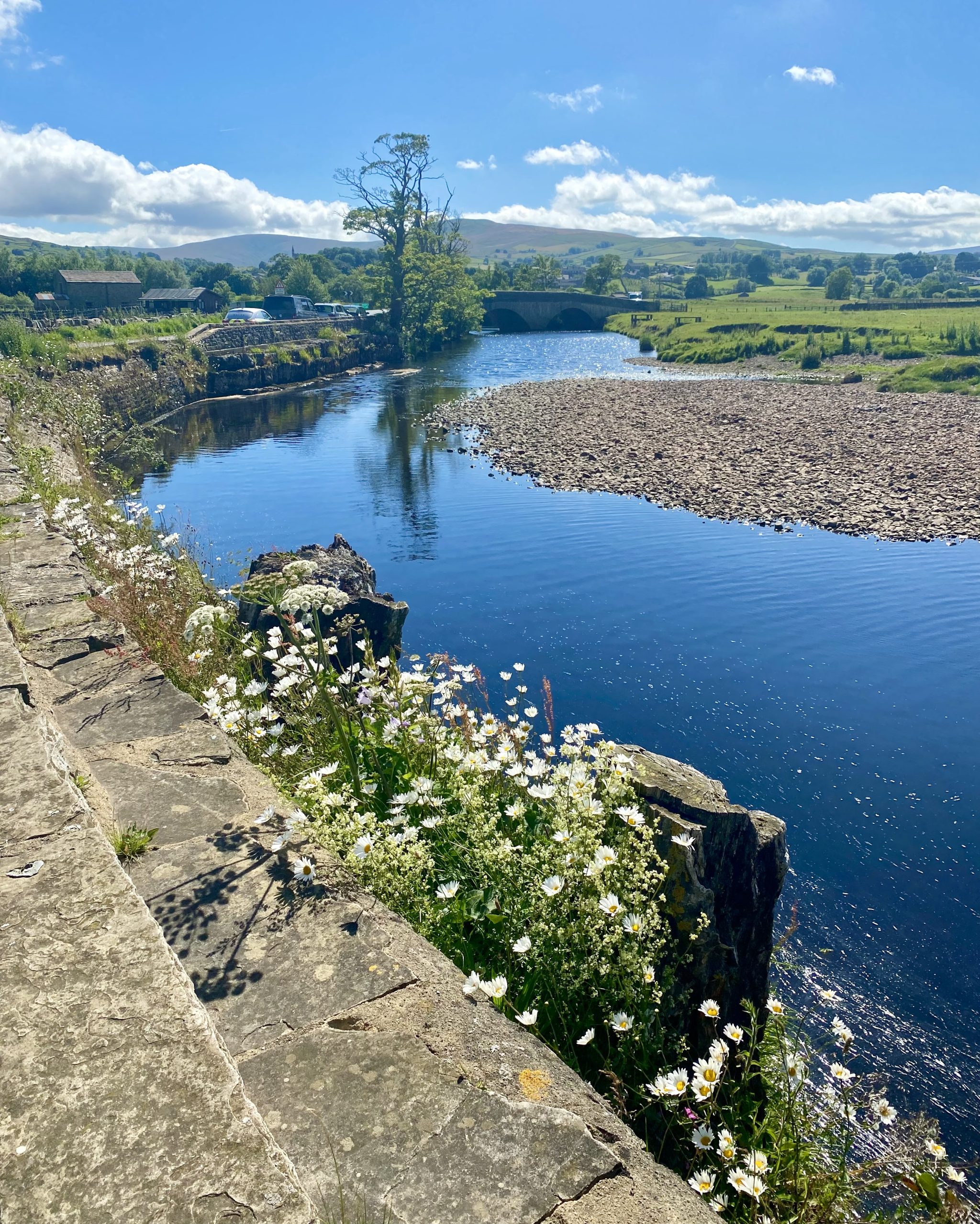
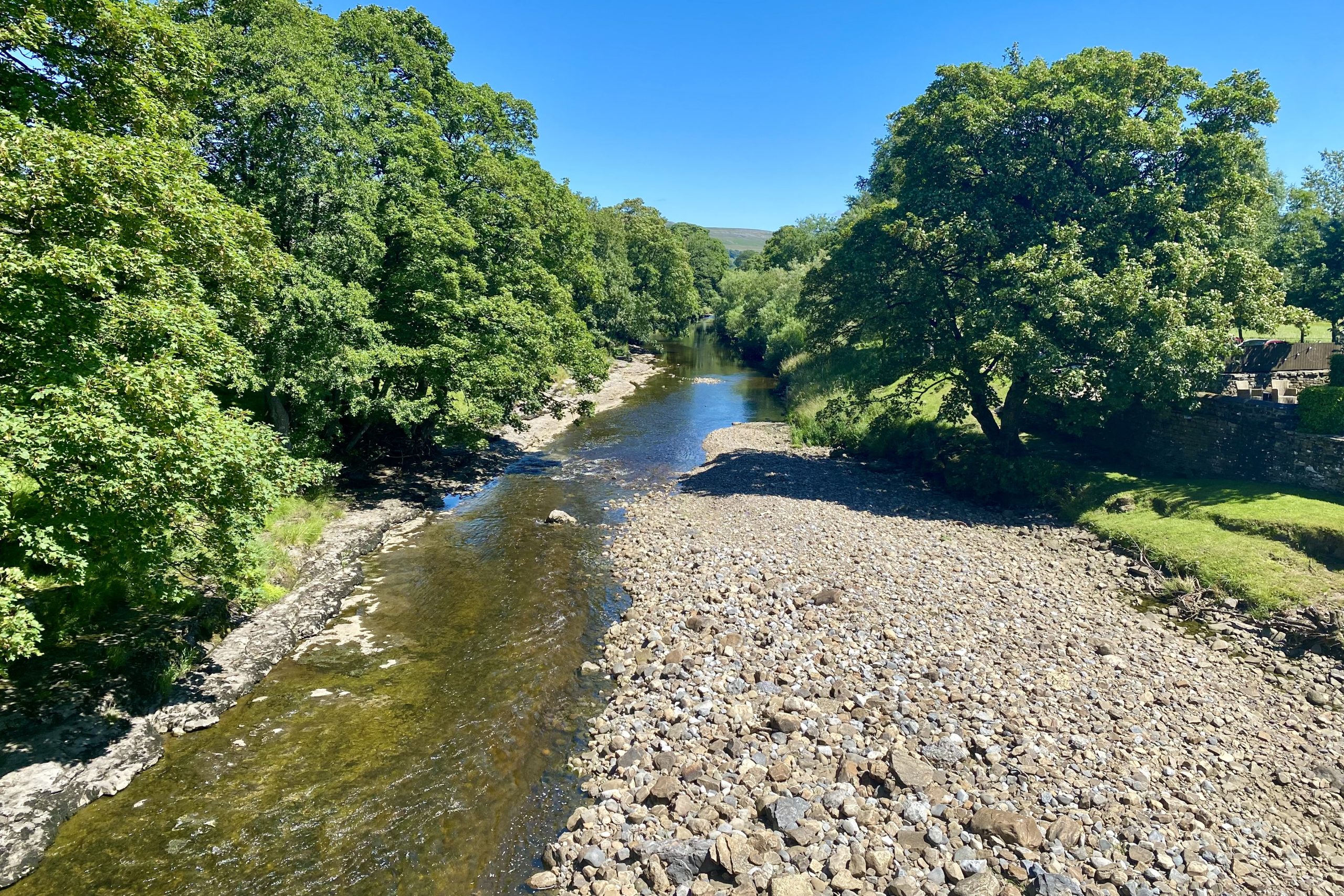
The River Ure as seen from Yore Bridge just north of Bainbridge.
Yore Bridge.

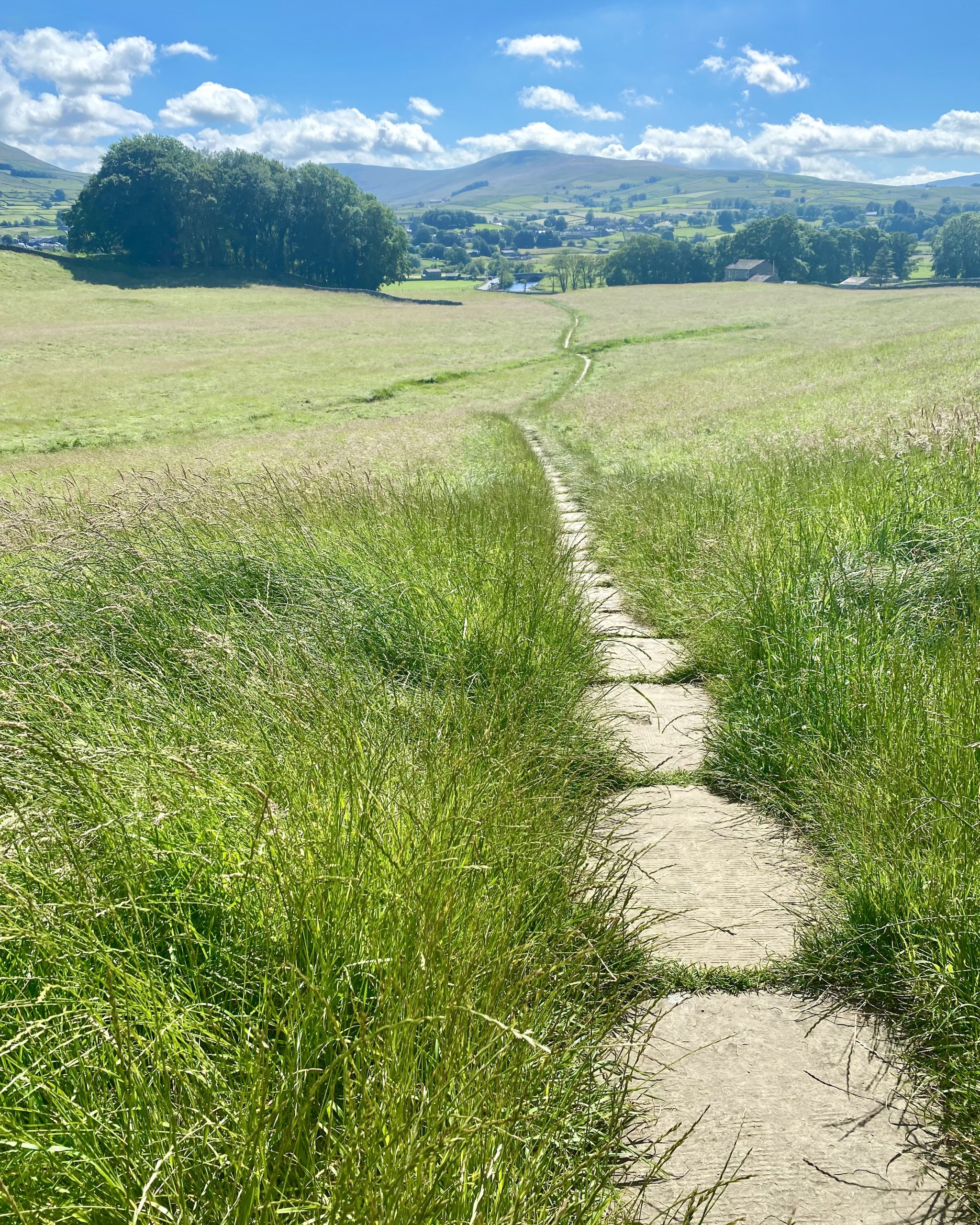
Heading west towards Sedbusk on the northern side of the Wensleydale valley.

The hamlet of Sedbusk, about a mile north-east of Hawes.

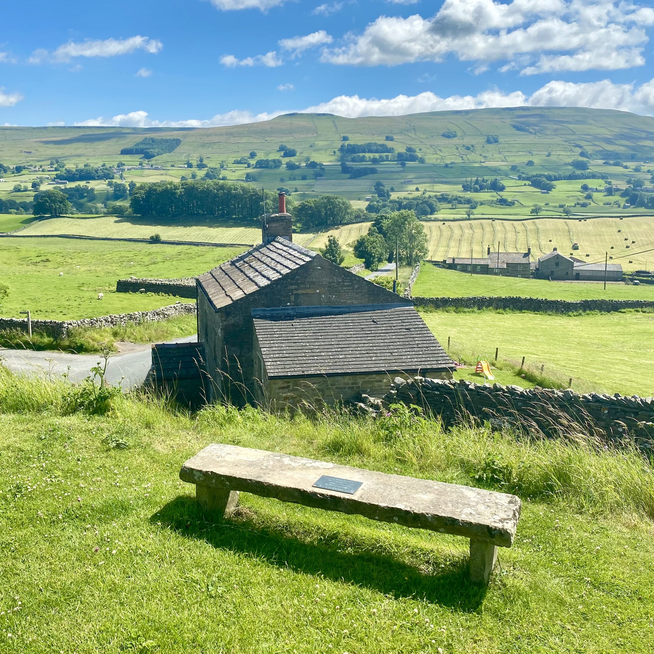
The view south from Sedbusk across Wensleydale to Yorburgh.
The route from Sedbusk down to Haylands Bridge.
Haylands Bridge and the River Ure near Hawes.