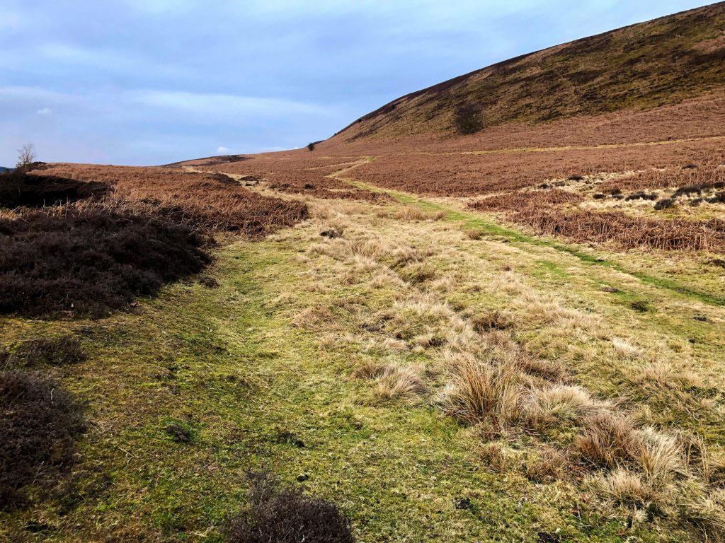
Briefly north from Saltergate car park then south-east along the Old Wife’s Way path. South through the Bridestones Nature Reserve followed by a south-westerly route into Stain Dale and up to the Fox and Rabbit public house on the A169. West into Cross Dale, then north to Levisham on the Tabular Hills Walk. Continuing out of the village to Skelton Tower, and returning north-east to Saltergate via Levisham Bottoms. A 14-mile walk in the North York Moors.
Recommended Ordnance Survey Map
The best map to use on this walk is the Ordnance Survey map of the North York Moors Eastern Area, reference OS Explorer OL27, scale 1:25,000. It clearly displays footpaths, rights of way, open access land and vegetation on the ground, making it ideal for walking, running and hiking. The map can be purchased from Amazon in either a standard, paper version or a weatherproof, laminated version, as shown below.
Blakey Topping
One day, during a blazing row with his wife Bell, the giant Wade scooped up a huge handful of earth to throw at her, thus gouging out the Hole of Horcum. One of the most spectacular features in the North York Moors, it is a huge natural amphitheatre 400 feet deep and half a mile across. Wade missed, and the handful of earth fell to the ground to form the nearby Blakey Topping, the hill on the right of the photo.
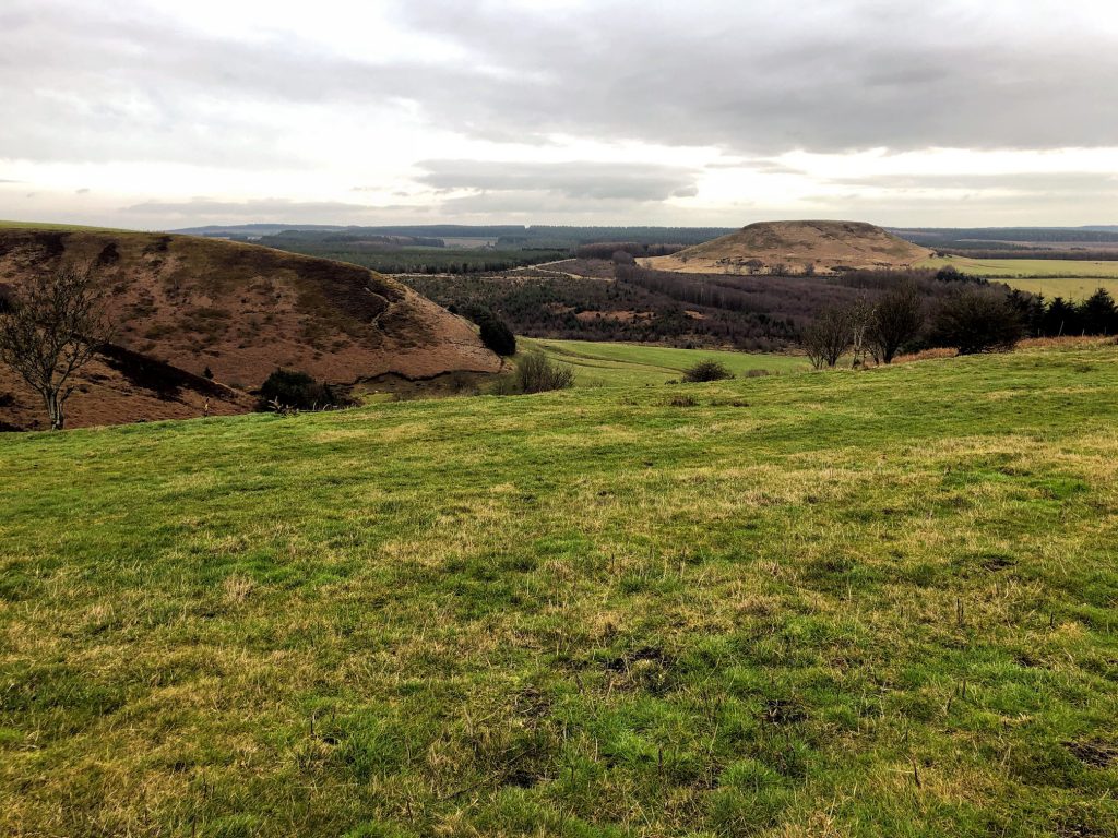
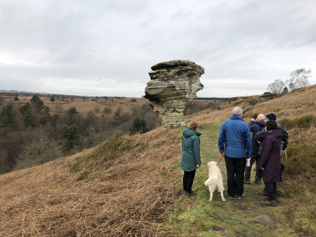
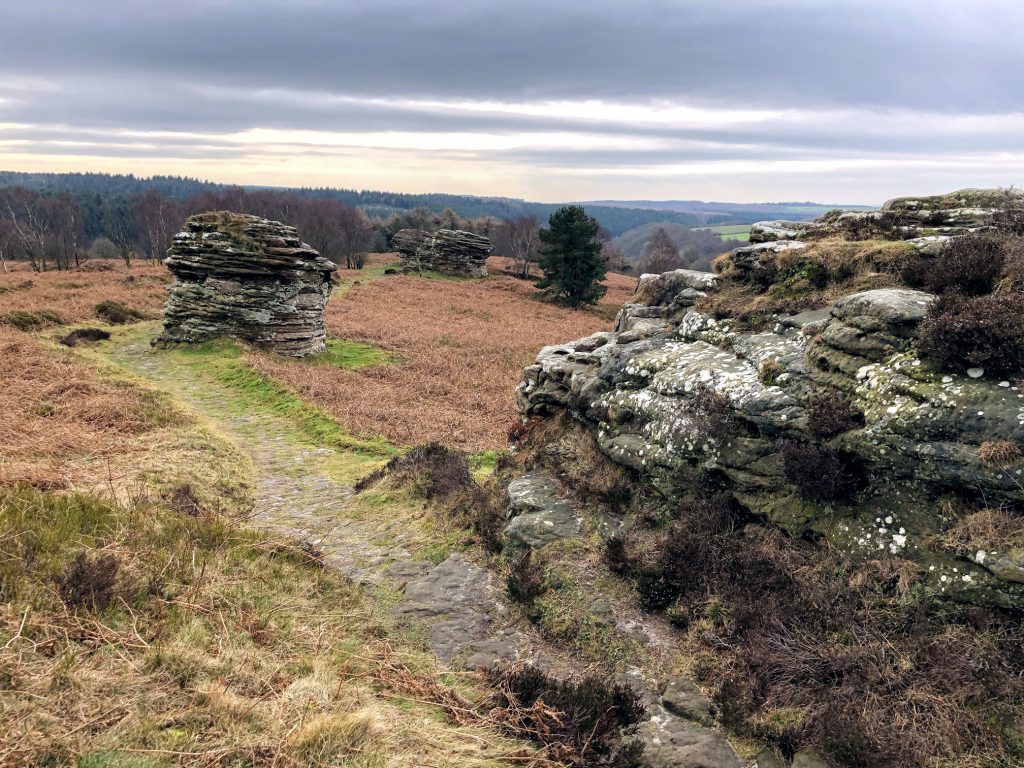
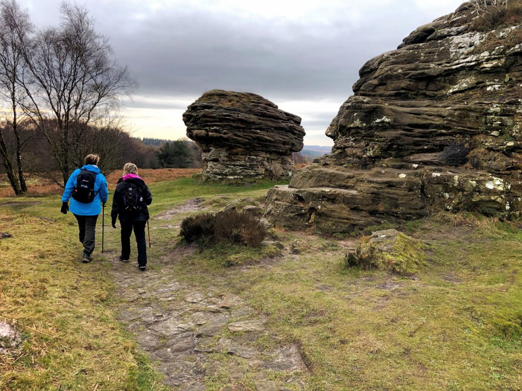
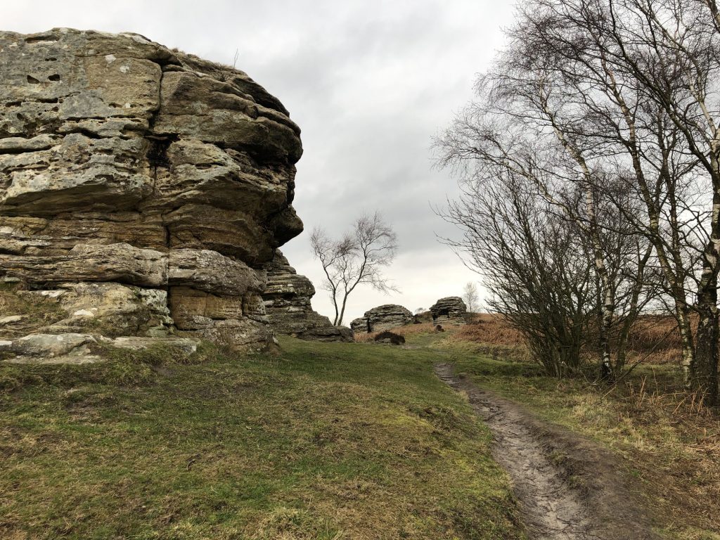
Bridestones
The name comes from ‘Brink-stones’ or edge stones in Old Norse. These fascinating rocks are the remains of a sandstone ‘cap’ that was originally much higher, Jurassic sedimentary rock deposited some 150 million years ago.
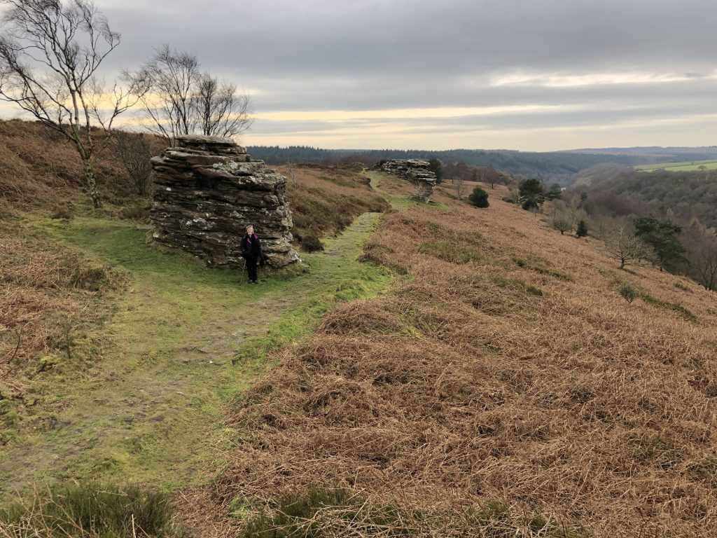
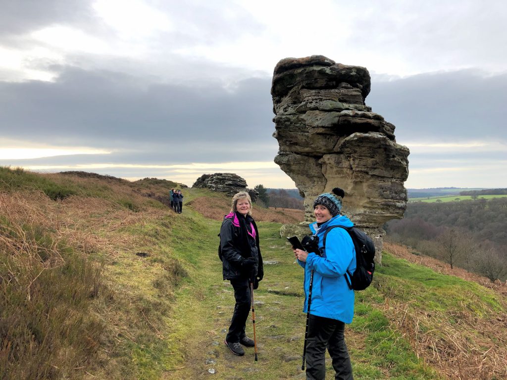
Layers of hard sandstone alternating with softer calcareous layers have been eroded by wind, frost and rain over thousands of years. The result is the strange and wonderful shapes left today.
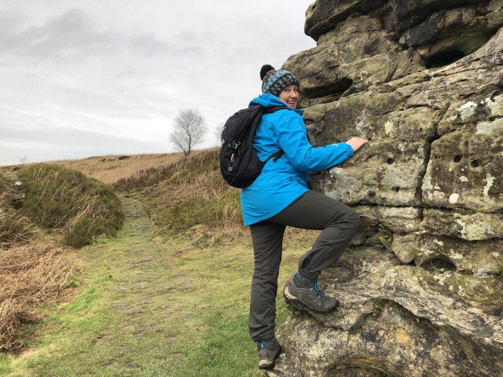
Angy demonstrating her climbing skills.
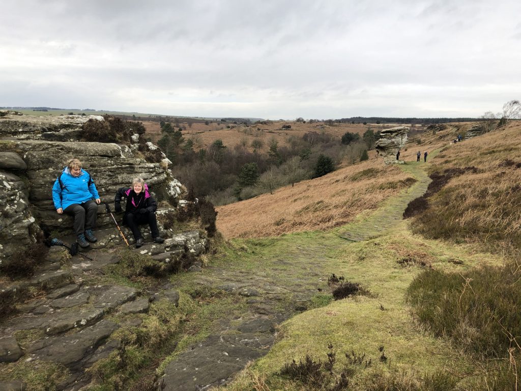
Time for a break.
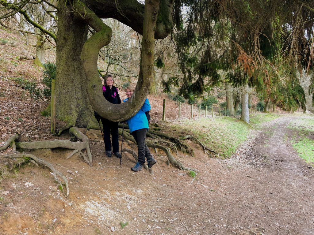
A very peculiar tree.
The old Levisham church
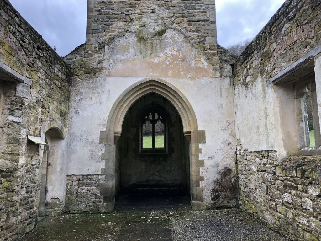
This was the parish church of Levisham until it was declared redundant in 1976. It was last used for regular worship in the 1950s. The chancel arch is all that remains of the medieval church. It is believed to date from the 12th century, the same period as the tombstone incised with a sword, now in the chancel.
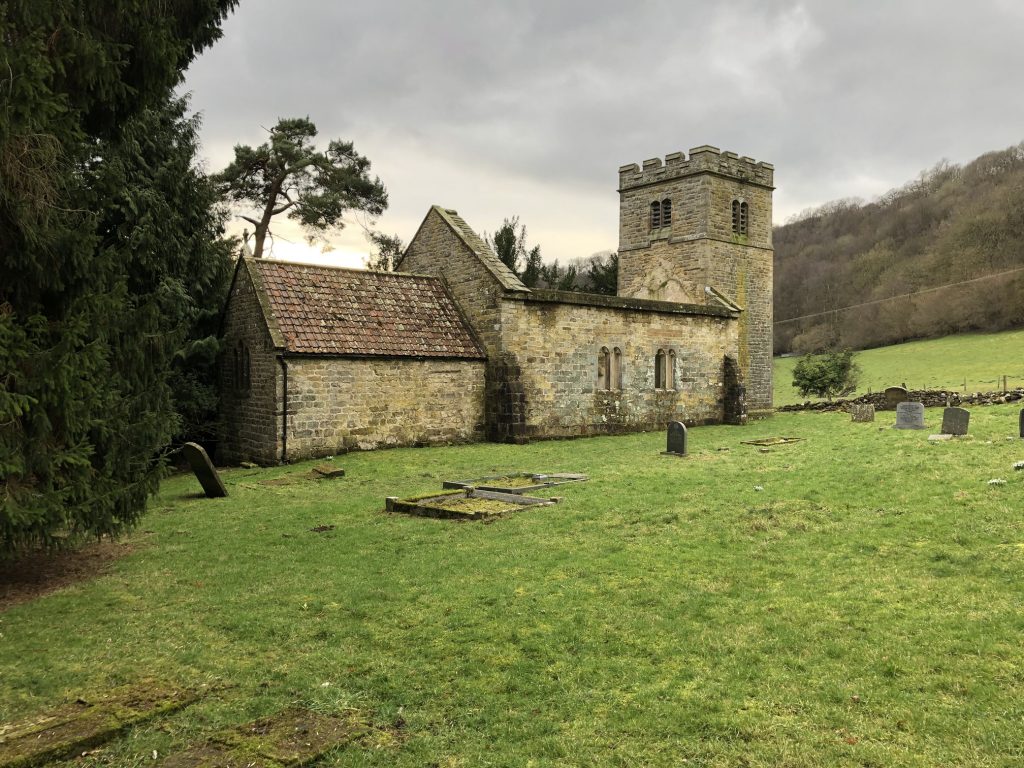
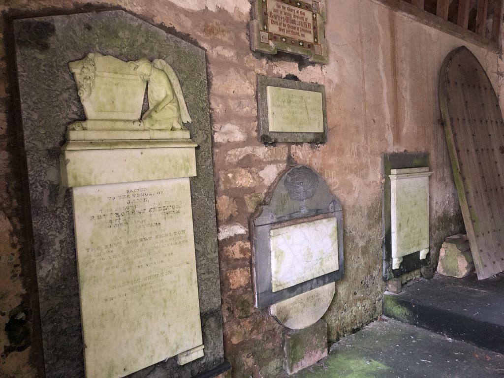
The church was completely rebuilt in 1802 during the incumbency of the first Reverend Robert Skelton. The tower was added in 1897 for Queen Victoria’s jubilee. In an investigation in 1977, archaeologists found pieces of carved stone crosses from the 10th and 12th centuries, suggesting there had been an earlier church of which no trace remains.
A gravestone carved in the form of a dragon dating from the 10th century is now in the church in Levisham village centre.
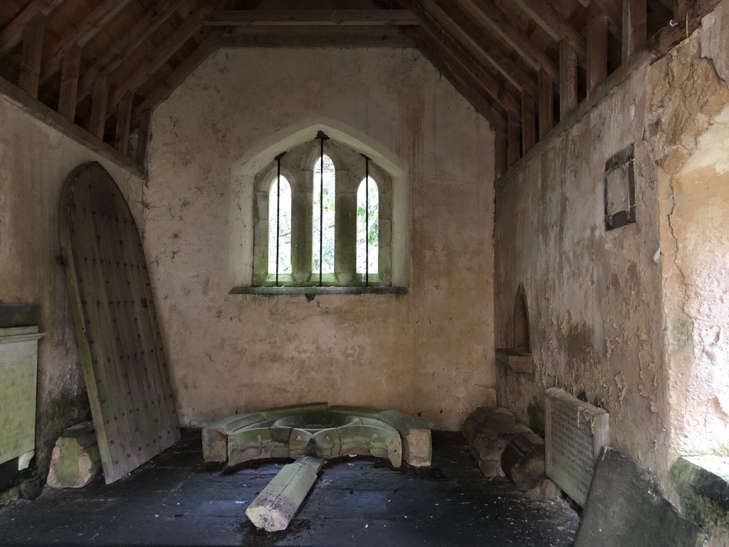
The ancient font was thrown out in the 1802 rebuilding, but it was later rescued from a farmyard where it was in use as a cattle trough, and reinstated in the church in Levisham village centre.
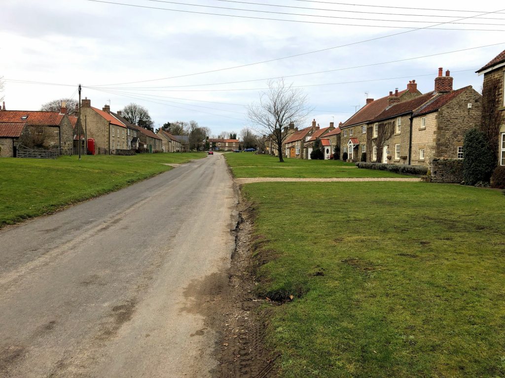
The village of Levisham.
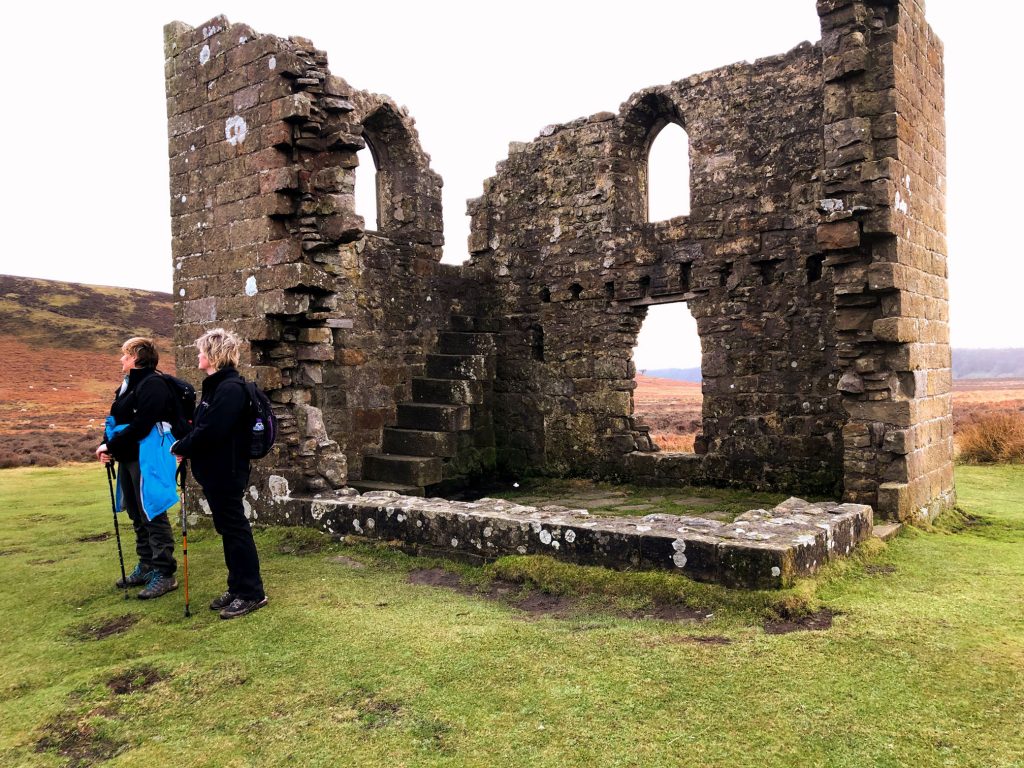
Skelton Tower
The romantic ruins of Skelton Tower are perched on the edge of Newton Dale and command amazing views towards Goathland Moor to the north, Pickering to the south, and down Newton Dale itself and over the track of the North Yorkshire Moors Railway.
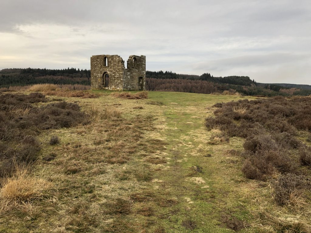
The two-storey tower was built around 1830 as a shooting lodge by a former rector of Levisham, the Reverend Robert Skelton. Some say that he wrote his sermons in the lodge but it is also rumoured that he escaped here to enjoy a quiet drink.
The grassy headland it sits upon is called Corn Hill Point because the pastures around and about were ploughed up and used for growing crops during the Napoleonic wars.
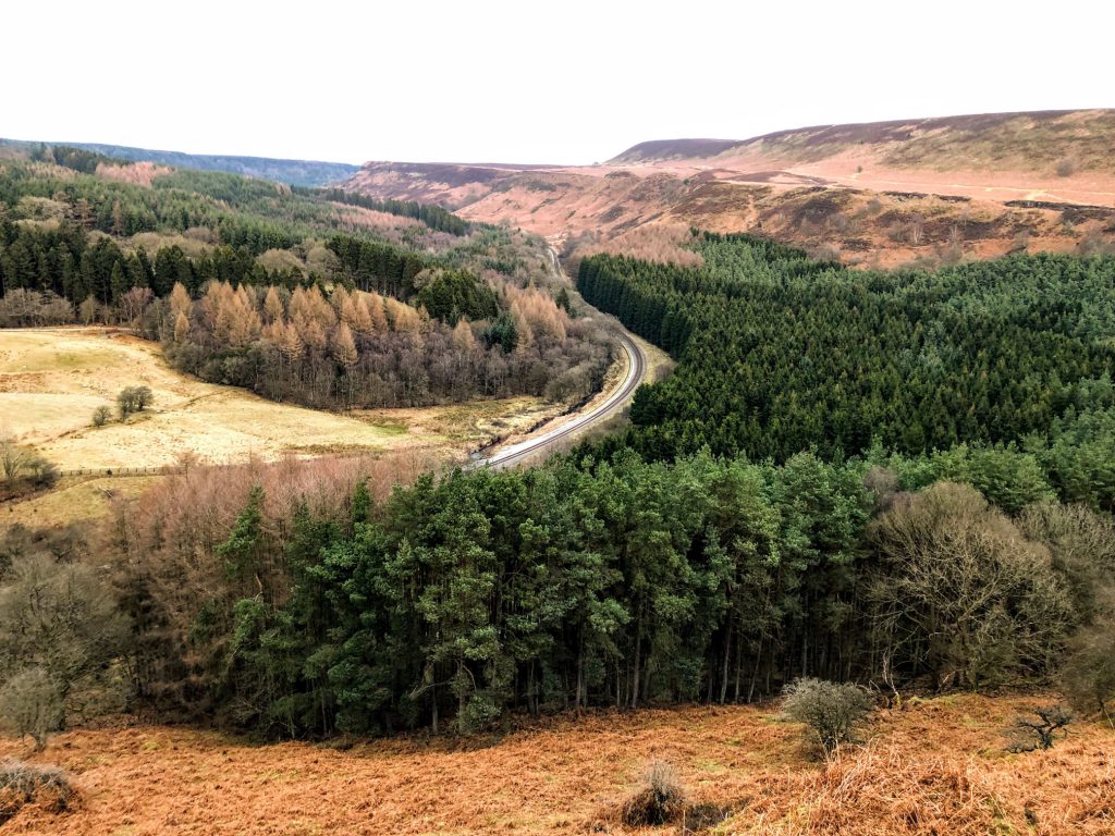
Looking down to Newton Dale and the North Yorkshire Moors Railway, which first opened in 1836 as the Whitby and Pickering Railway. The railway was planned in 1831 by George Stephenson as a means of opening up trade routes inland from the then important seaport of Whitby. The line closed in 1965 and was reopened in 1973 by the North York Moors Historical Railway Trust Ltd. The preserved line is now a tourist attraction and has been awarded several industry accolades.
Levisham Bottoms.