West out of the village of Malham, picking up a footpath which leads to Hoober Edge and then meets the Dales High Way. Further west to Attermire Cave, then north past Attermire Scar and Brent Scar to Jubilee Cave. East along the Pennine Bridleway then north-east to reach and circle Malham Tarn in a clockwise direction. Finally south via the Pennine Way to Malham Cove before heading back to the village. A 14-mile walk in the Yorkshire Dales.

Recommended Ordnance Survey Map
The best map to use on this walk is the Ordnance Survey map of the Yorkshire Dales Southern & Western Area, reference OS Explorer OL2, scale 1:25,000. It clearly displays footpaths, rights of way, open access land and vegetation on the ground, making it ideal for walking, running and hiking. The map can be purchased from Amazon in either a standard, paper version or a weatherproof, laminated version, as shown below.
Standard Version
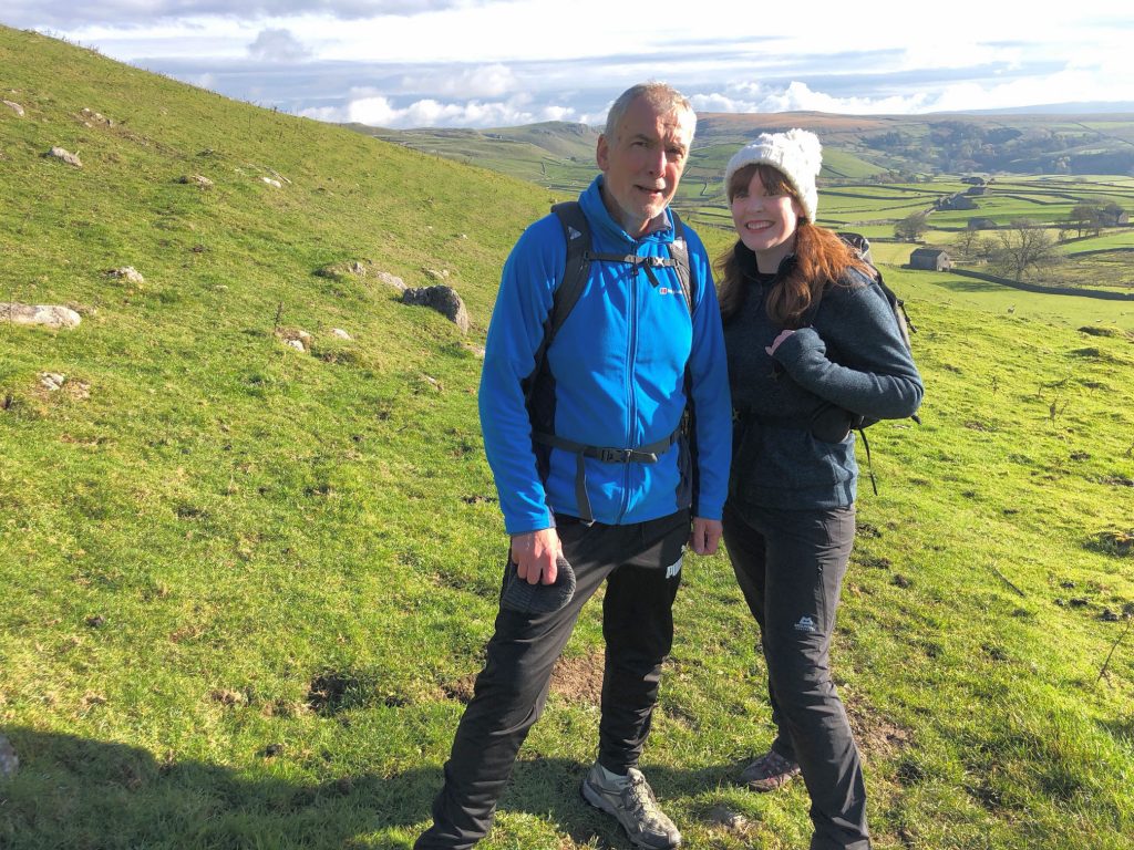
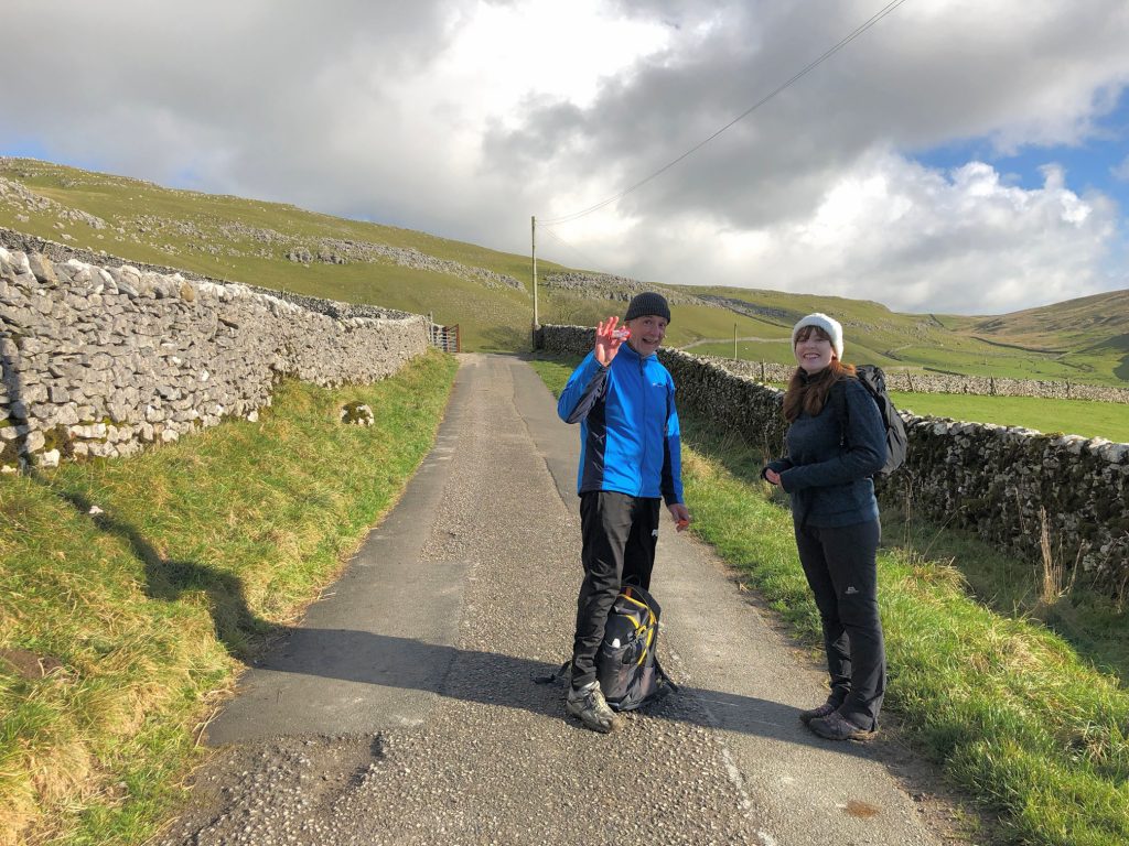
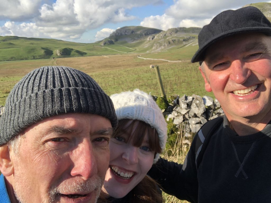
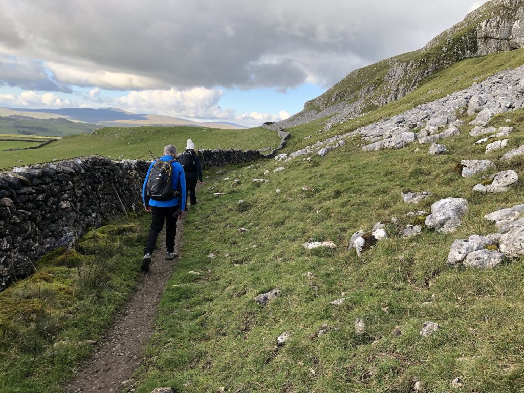
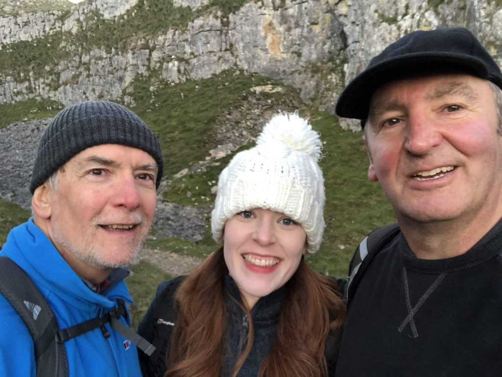
Clare and Mike at Hoober Edge, about a mile north-west of Malham.
Looking back towards Malham from Hanber Side.
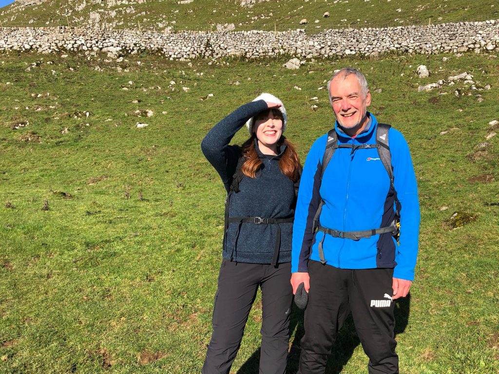
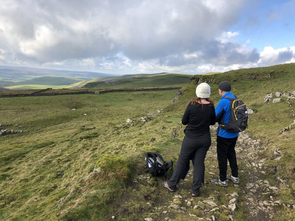
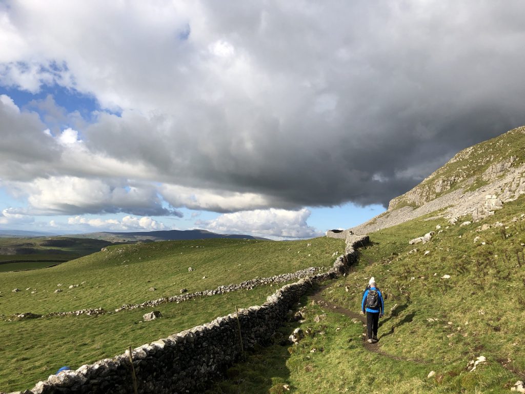
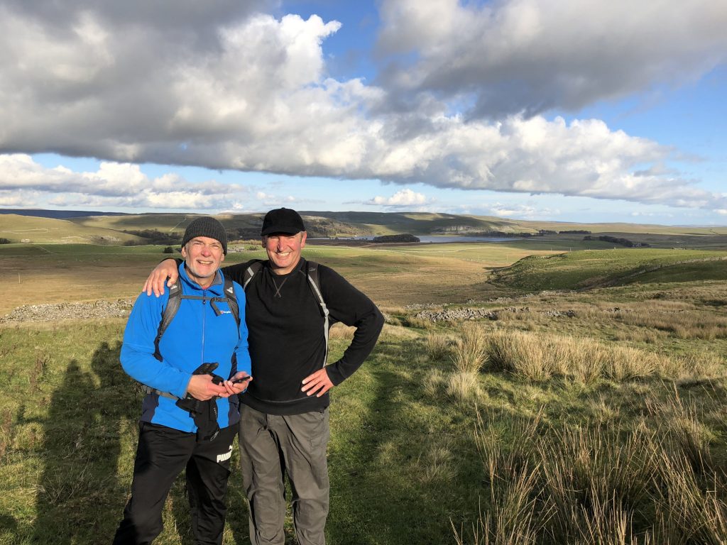
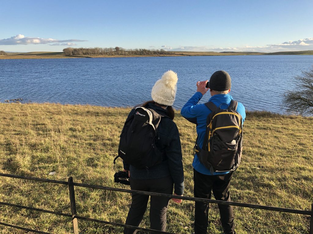
Enjoying the scenery from the Pennine Bridleway / Dales High Way near Kirkby Fell.
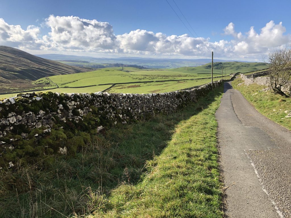
Stockdale Lane, just west of Stockdale Farm.
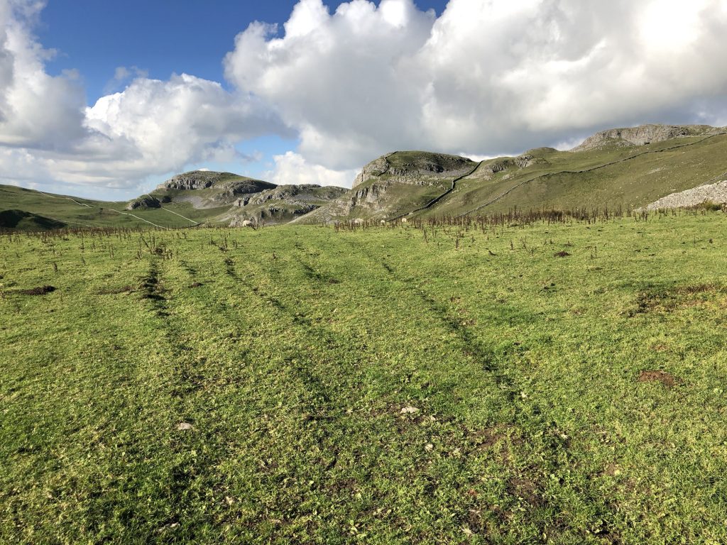
Amazing views from the Dales High Way between Stockdale Lane and Attermire Cave.
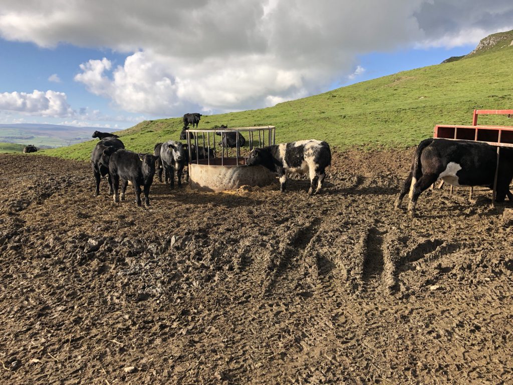
Young cows wondering what we were doing crossing their field.
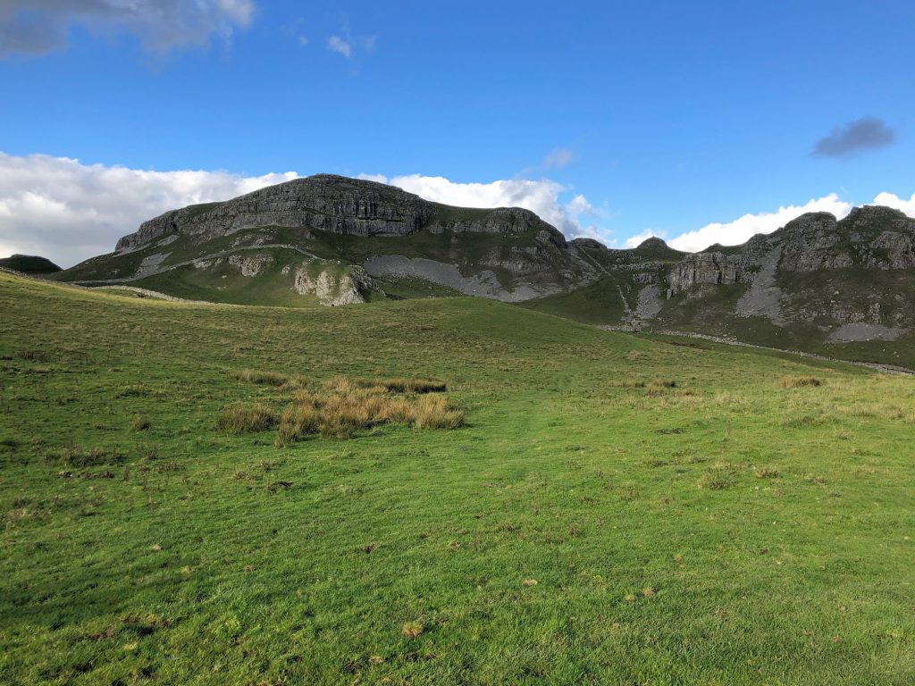
Our path heads north from Attermire Cave to Attermire Scar.
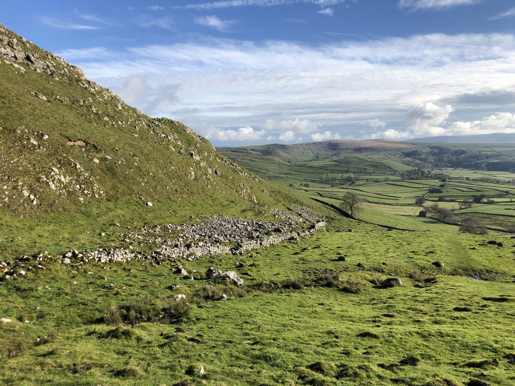
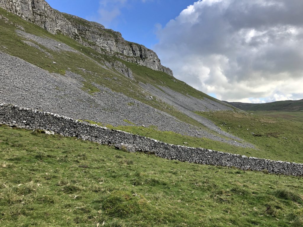
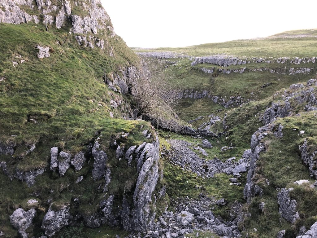
Scree-covered slopes due to weathering of the limestone rockface above.
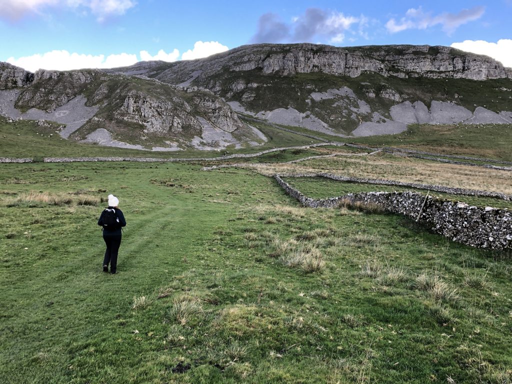
Walking north along the path beneath Brent Scar.
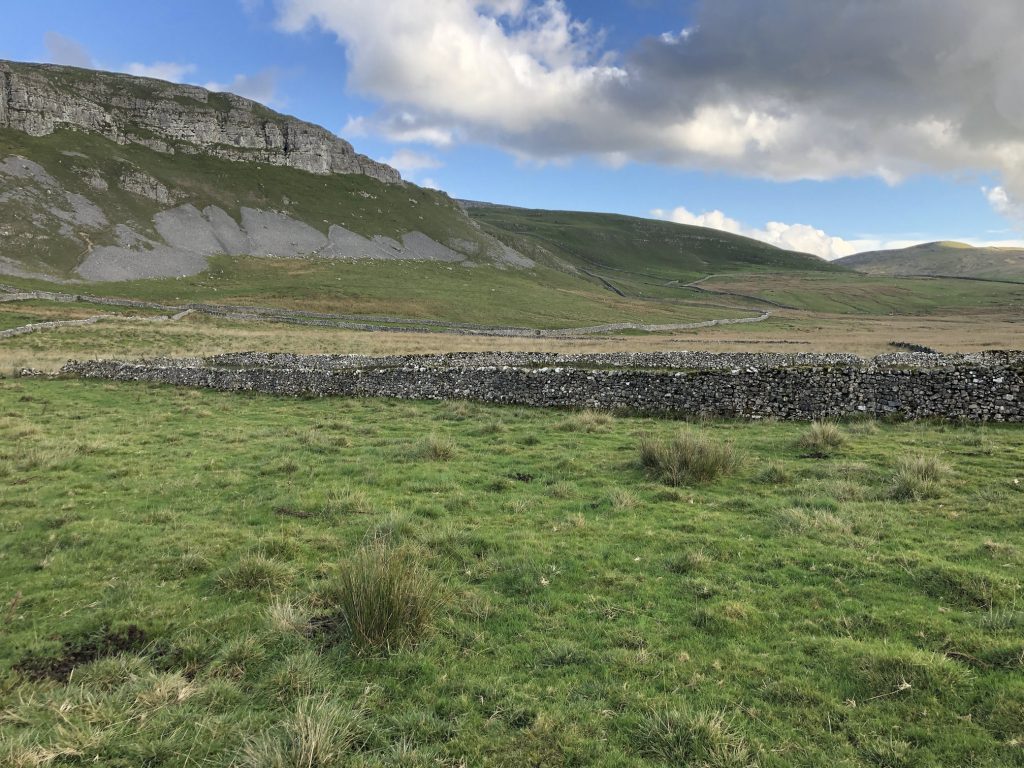
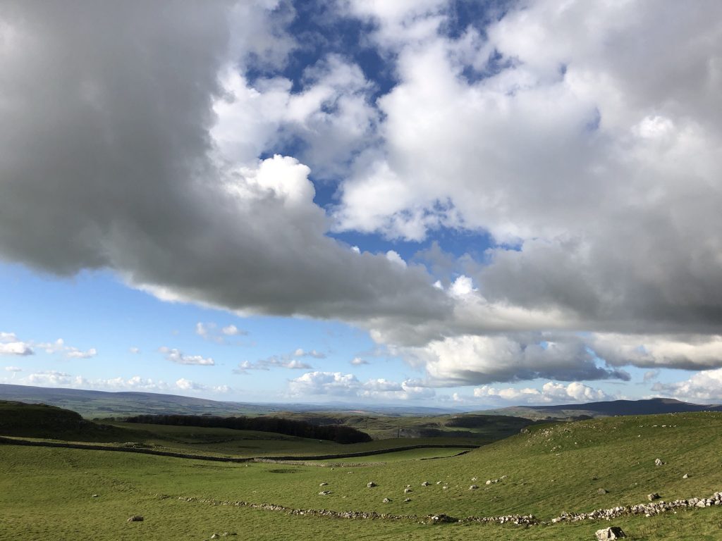
White and grey cumulus clouds, blue skies and green fields contrast beautifully.

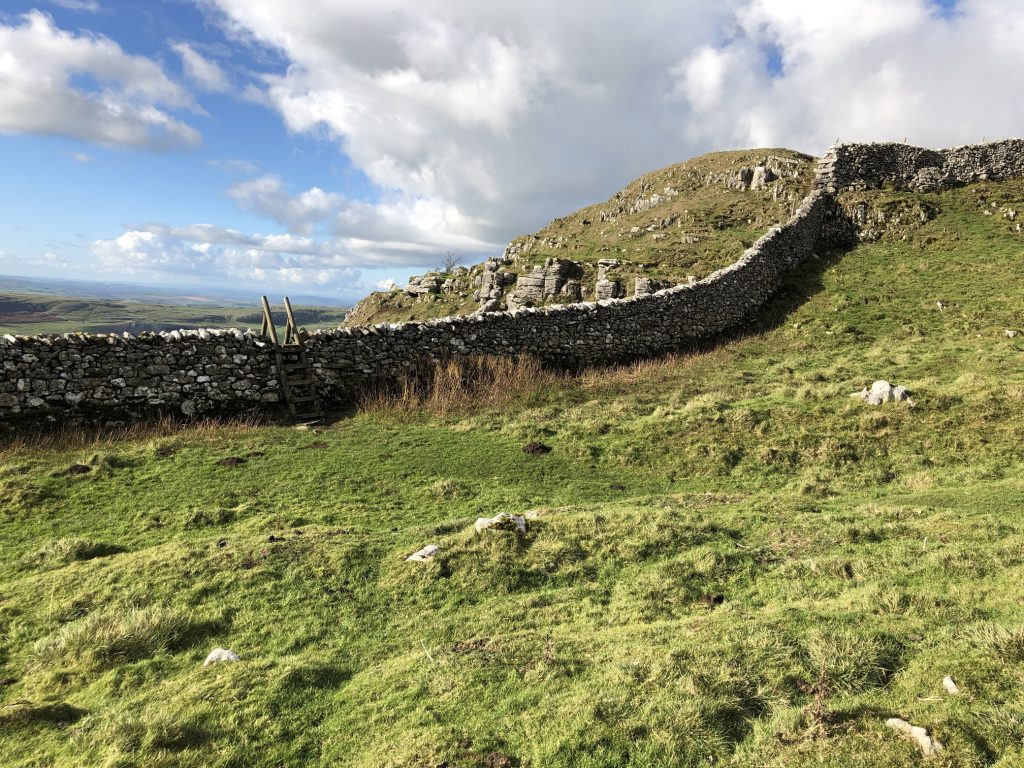
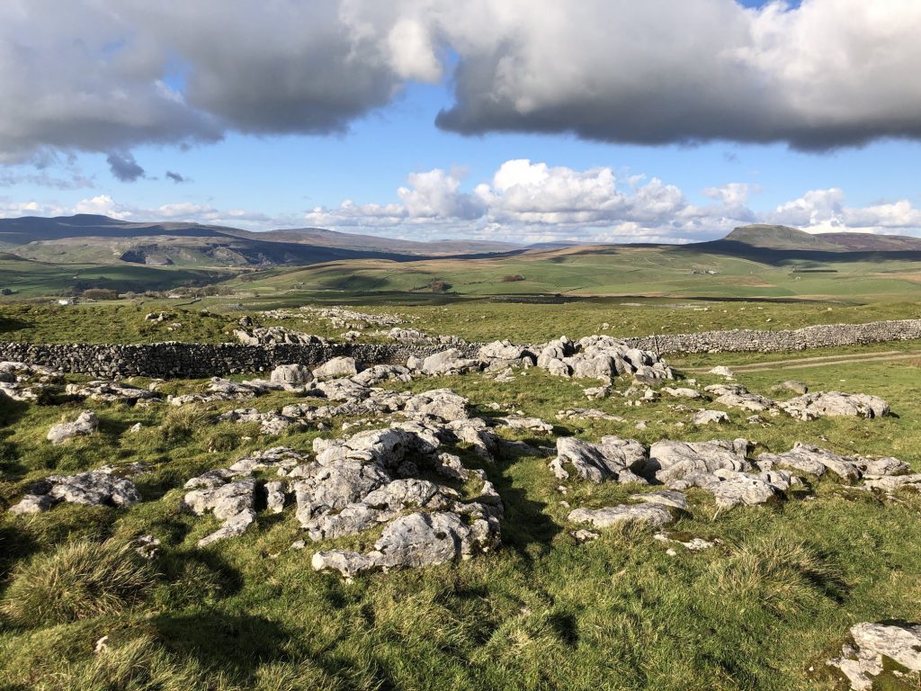
Dry stone walls and limestone countryside near Jubilee Cave, north of Brent Scar.
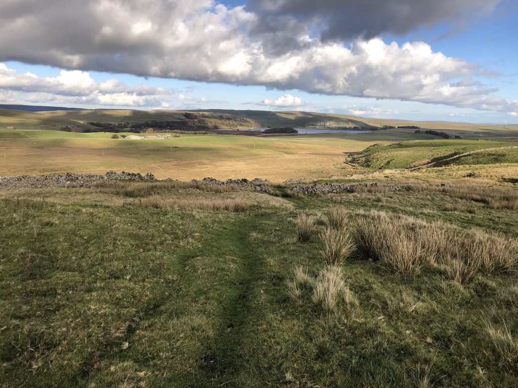
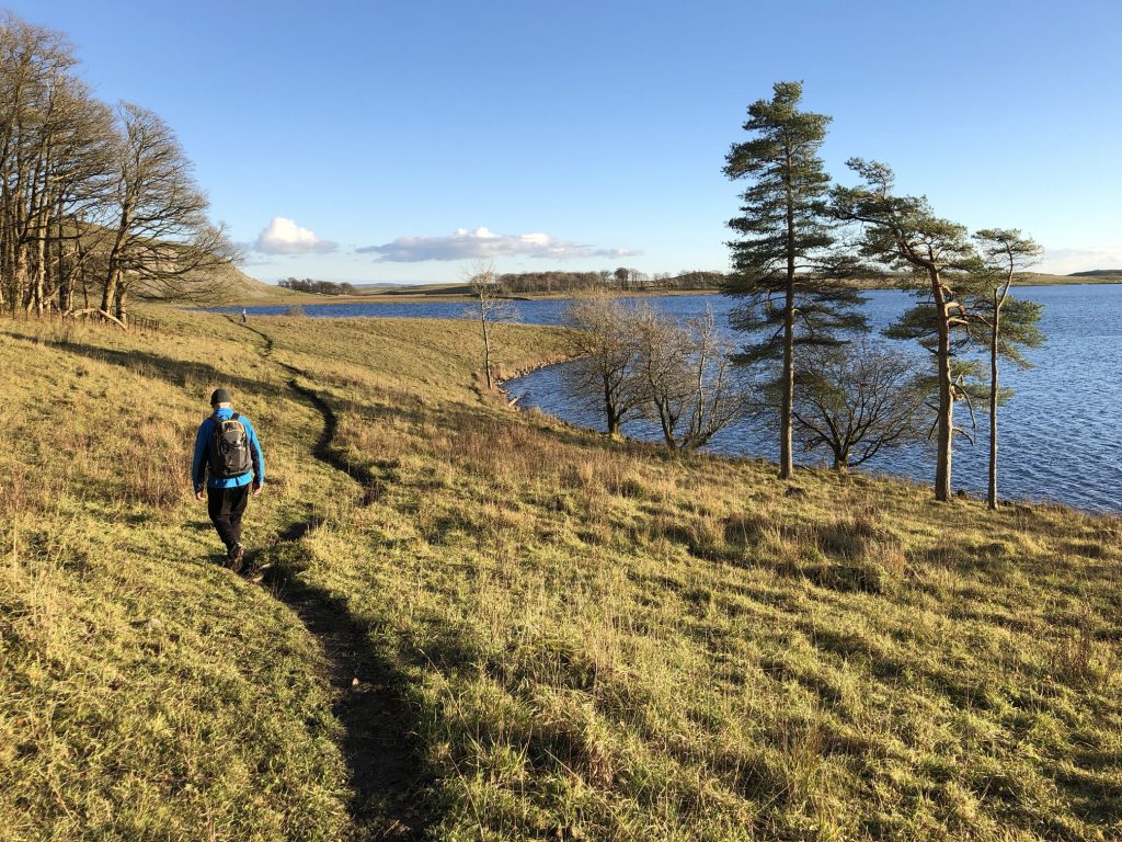
The view north-east towards Malham Tarn.
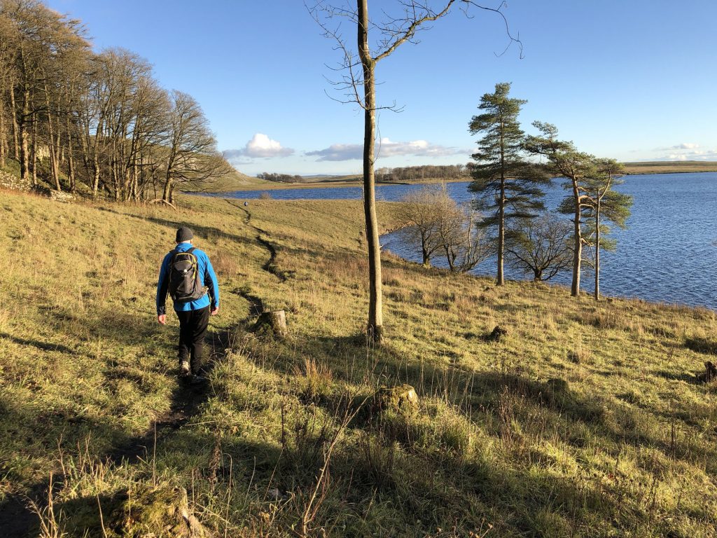
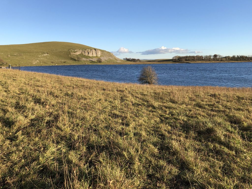
Malham Tarn, a glacial lake formed about 10,000 years ago at the end of the last ice age.
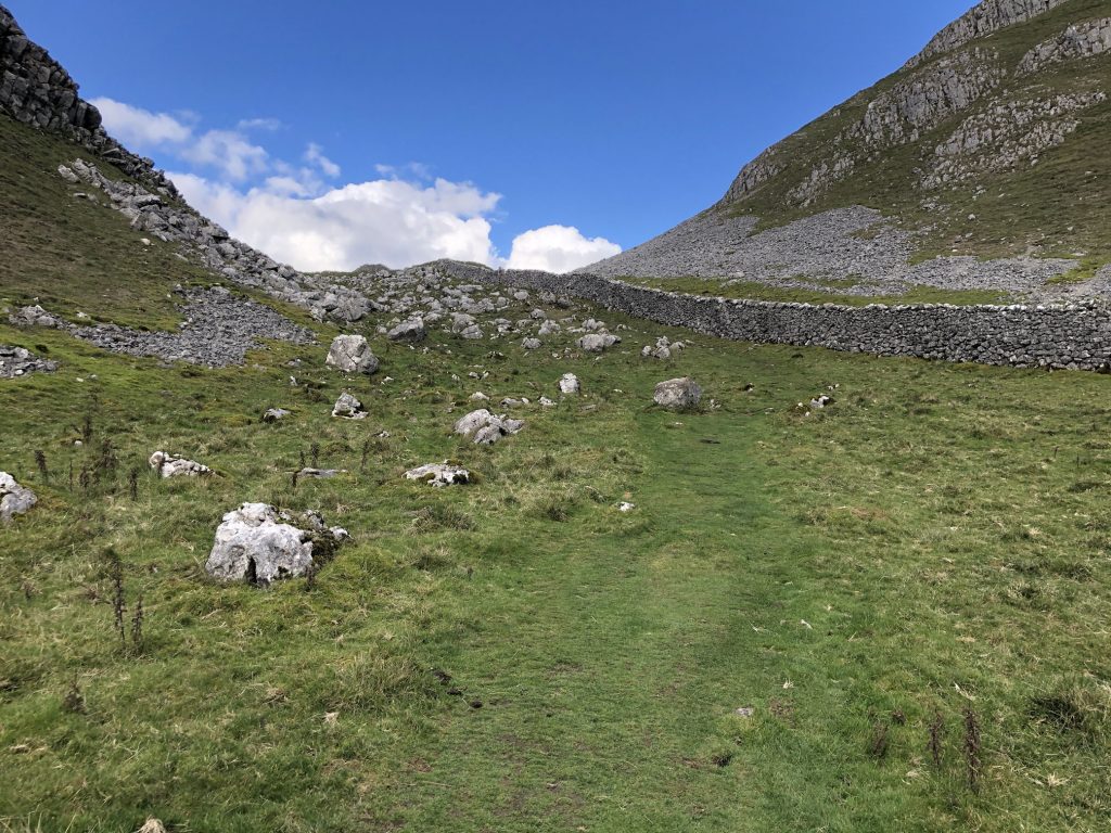
The Watlowes dry valley between Malham Tarn and Malham Cove. The Pennine Way leads through the valley, which would have been carved out by glacial meltwater.
Clare, Mike and I in the Watlowes dry valley.
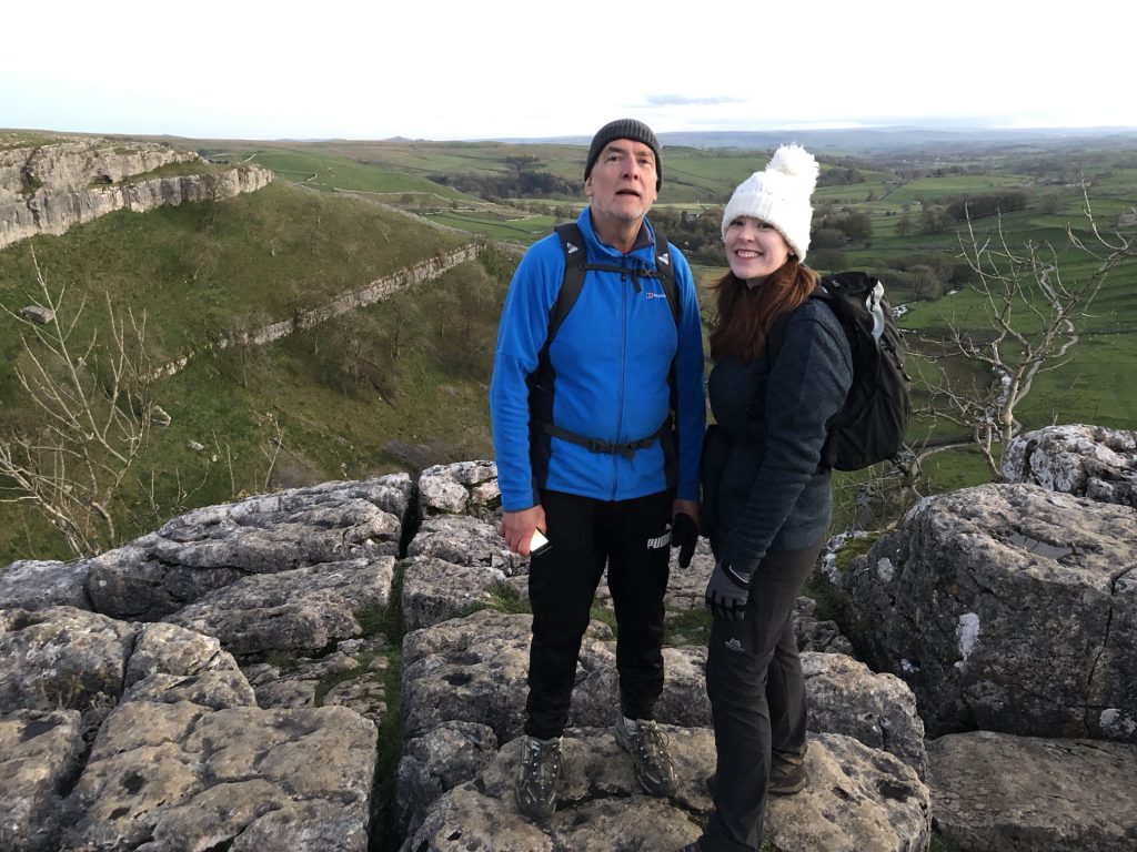
Clare and Mike at the top of Malham Cove.
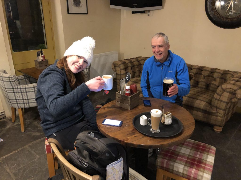
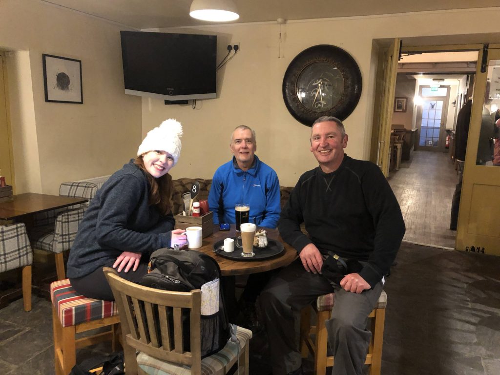
Inside the Buck Inn in Malham.