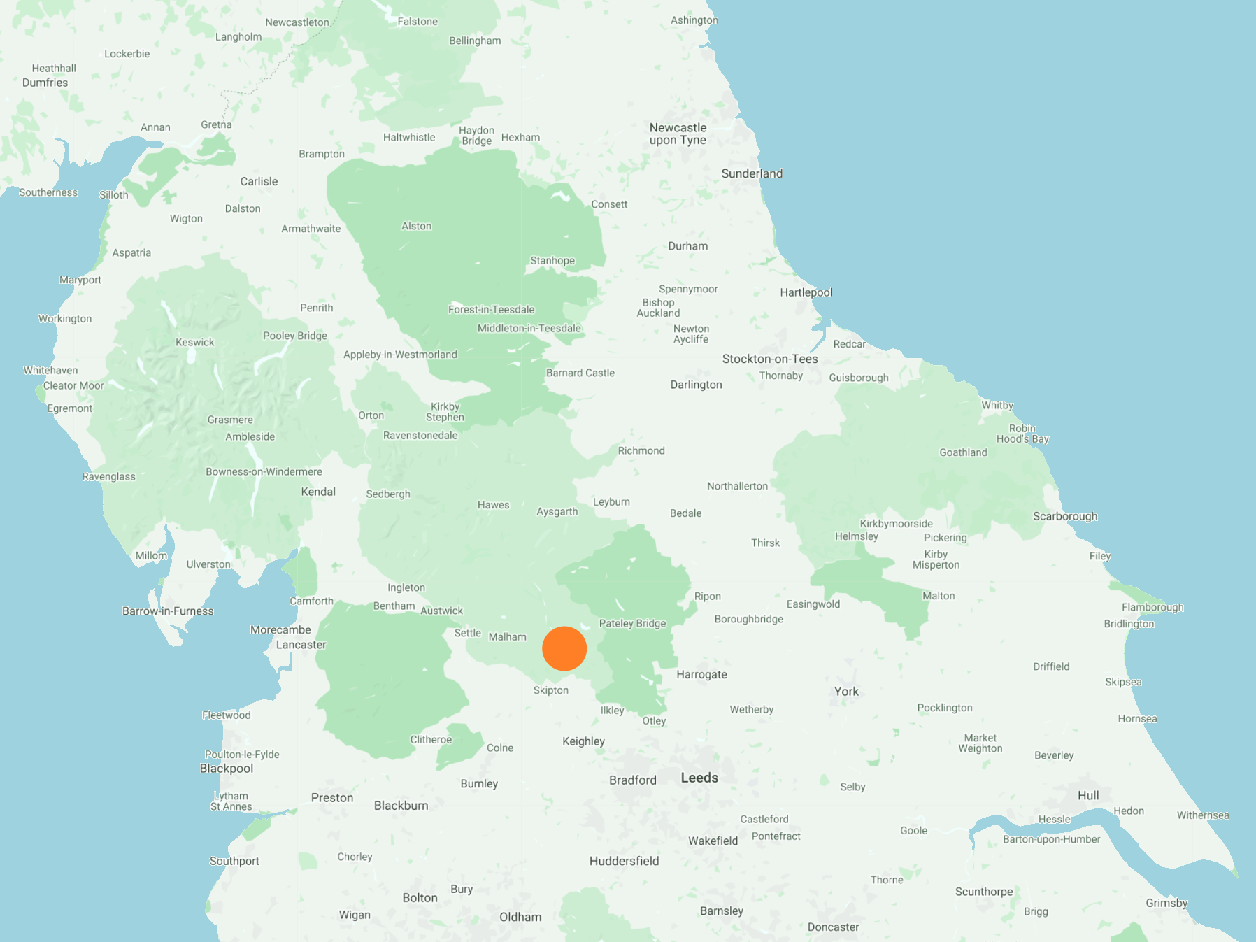
From Hebden, south on Mill Lane, across the River Wharfe, and south-east via the Dales Way to Burnsall. Further south and a climb towards Burnsall and Thorpe Fell, before heading to the north-east corner of Upper Barden Reservoir. South-east across Barden Moor to reach Lower Barden Reservoir, and continuing to Barden Tower on the B6160. Back to Burnsall using the Dales Way alongside the River Wharfe, and finally along Burnsall Lane and other footpaths to Hebden. A 13-mile walk in the Yorkshire Dales.
Recommended Ordnance Survey Map
The best map to use on this walk is the Ordnance Survey map of the Yorkshire Dales Southern & Western Area, reference OS Explorer OL2, scale 1:25,000. It clearly displays footpaths, rights of way, open access land and vegetation on the ground, making it ideal for walking, running and hiking. The map can be purchased from Amazon in either a standard, paper version or a weatherproof, laminated version, as shown below.
Standard Version
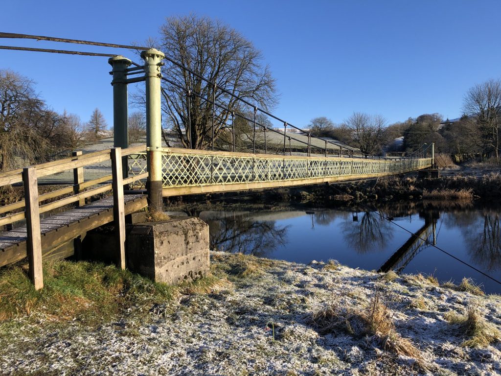
Hebden Suspension Bridge
In 1884, following the drowning of a local man while trying to cross the stepping stones on the River Wharfe below Hebden, a committee was formed with the intention of building a footbridge. A great storm the previous year had also destroyed Burnsall Bridge down stream causing the villagers great problems.
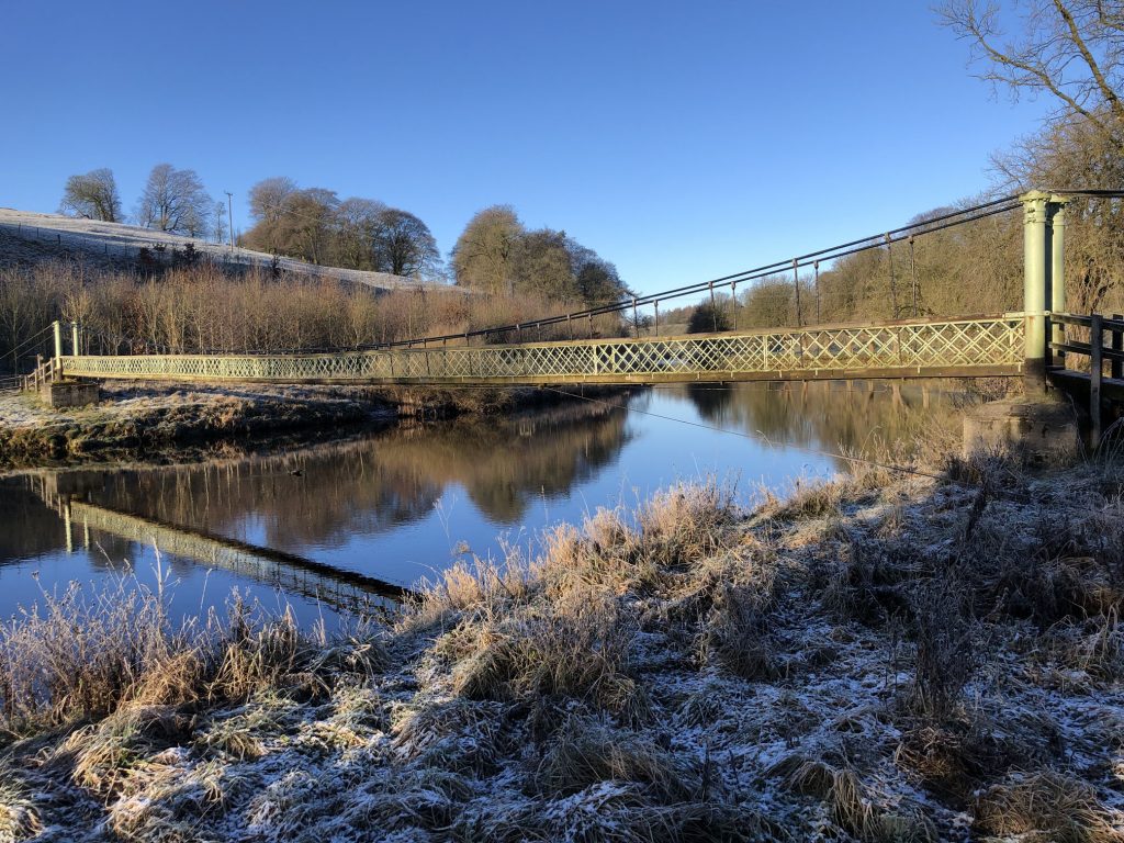
The new bridge was designed as a suspension bridge and was built by the village blacksmith, William Bell. 262 yards of redundant steel rope was bought for it from the Hebden Moor Mining Company. Funding for the bridge was raised through public subscription and a grand opening was held in 1885 with a brass band and a public tea. The bridge now carries a popular public footpath and was recently refurbished by the National Park Authority.
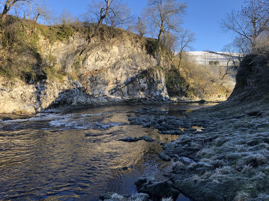
Stepping stones on the River Wharfe, next to Hebden Suspension Bridge.
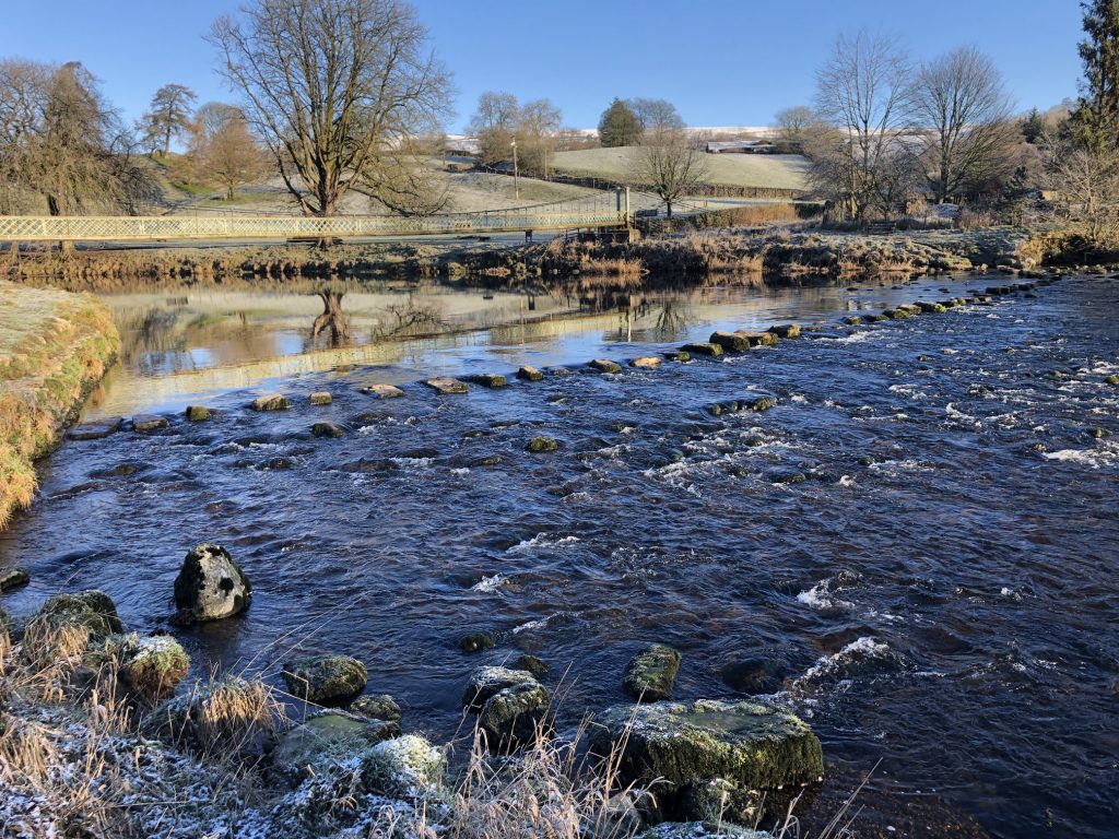
The River Wharfe.
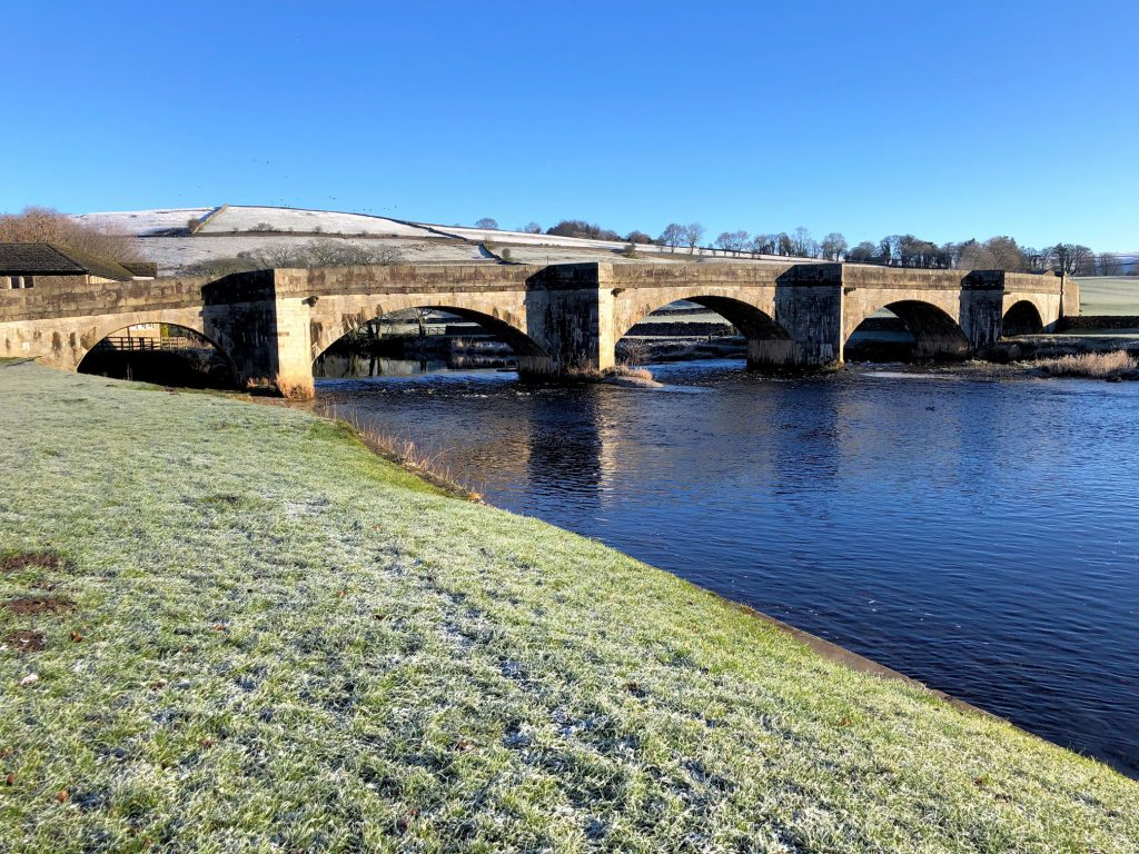
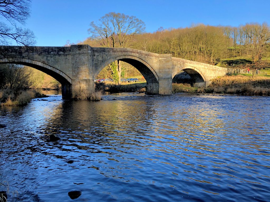
Burnsall Bridge
The original stone bridge was built in 1609 thanks to a gift of money from local benefactor Sir William Craven who also paid for Burnsall Grammar School. In 1752 it was described as being ‘a good bridge and all paved’. It was restored or possibly rebuilt in 1884 following flood damage. It has three main arches and two smaller ones.
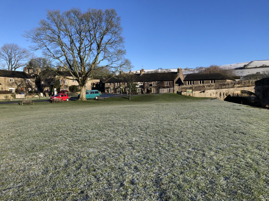
The village of Burnsall
A sign near the village bridge says:
Burnsall sits on the bank of the River Wharfe, sheltering beneath Barden Moor, and is perhaps one of the most picturesque villages in the Dales. On the hillsides around it can be seen cultivation terraces or ‘lynchets’ which were ploughed by some of Burnsall’s earliest inhabitants 1000 years ago. Today the river bank is a popular spot for visitors, and others come to the village along the Dales Way path which runs north to the Lake District.
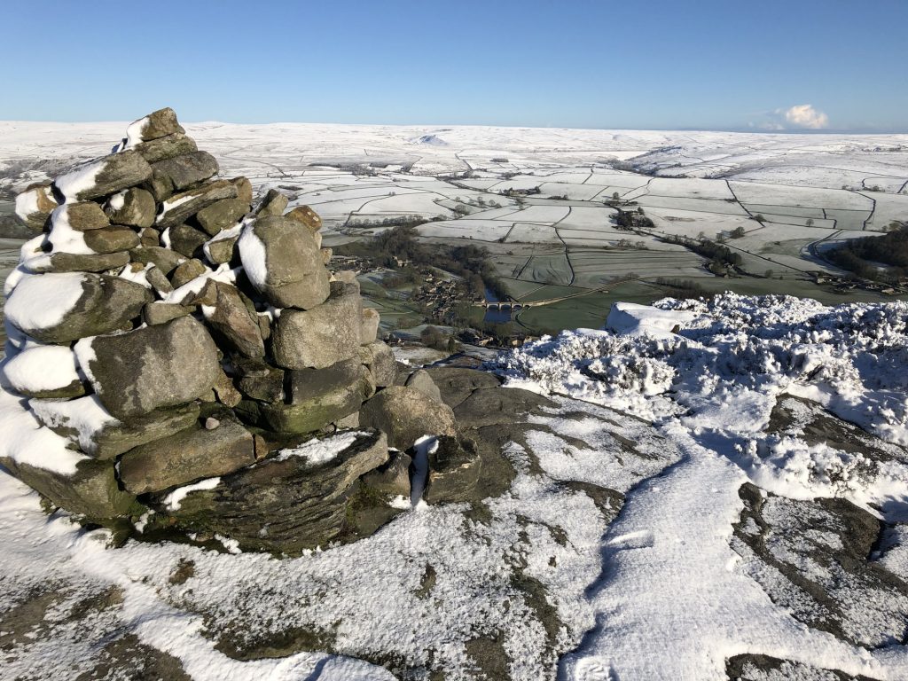
The view of Burnsall Bridge from one of the cairns at the northern tip of Barden Moor.
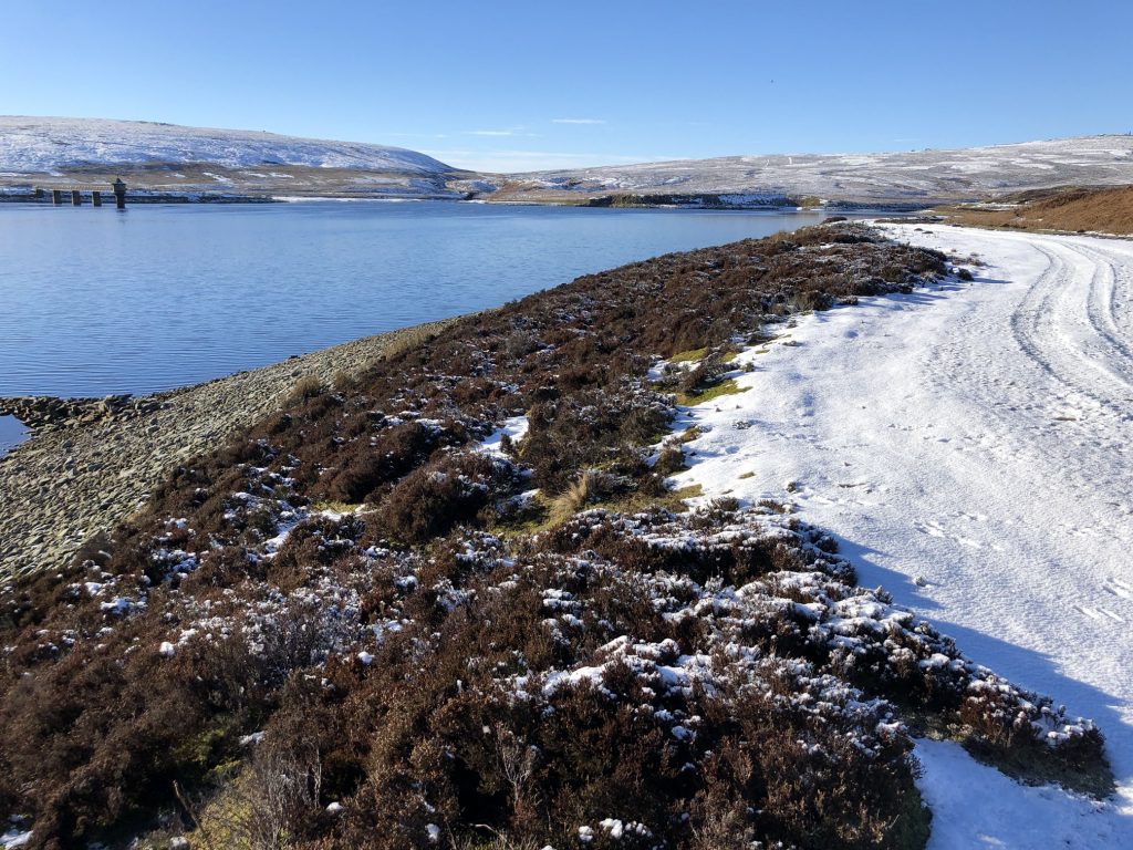
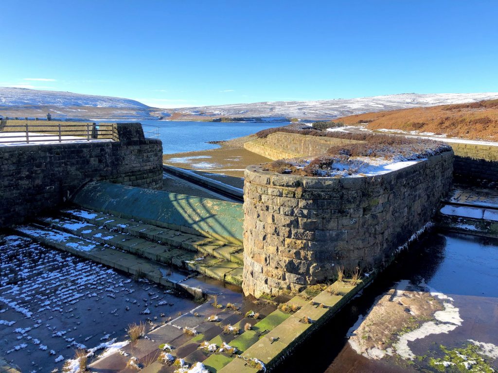
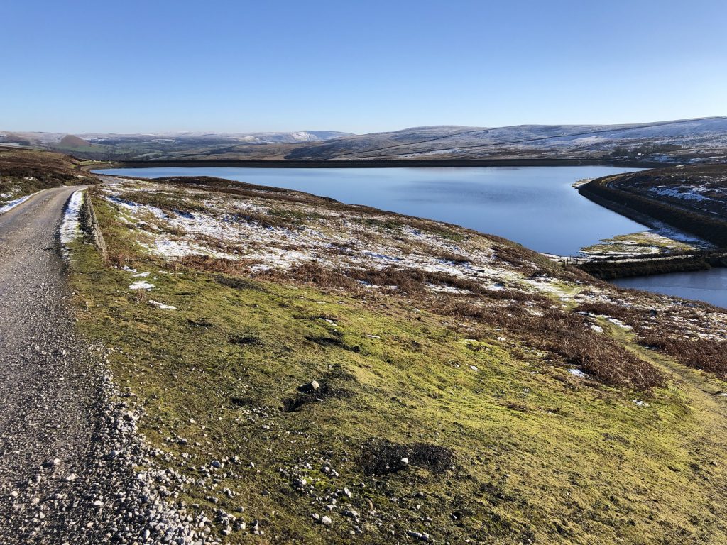
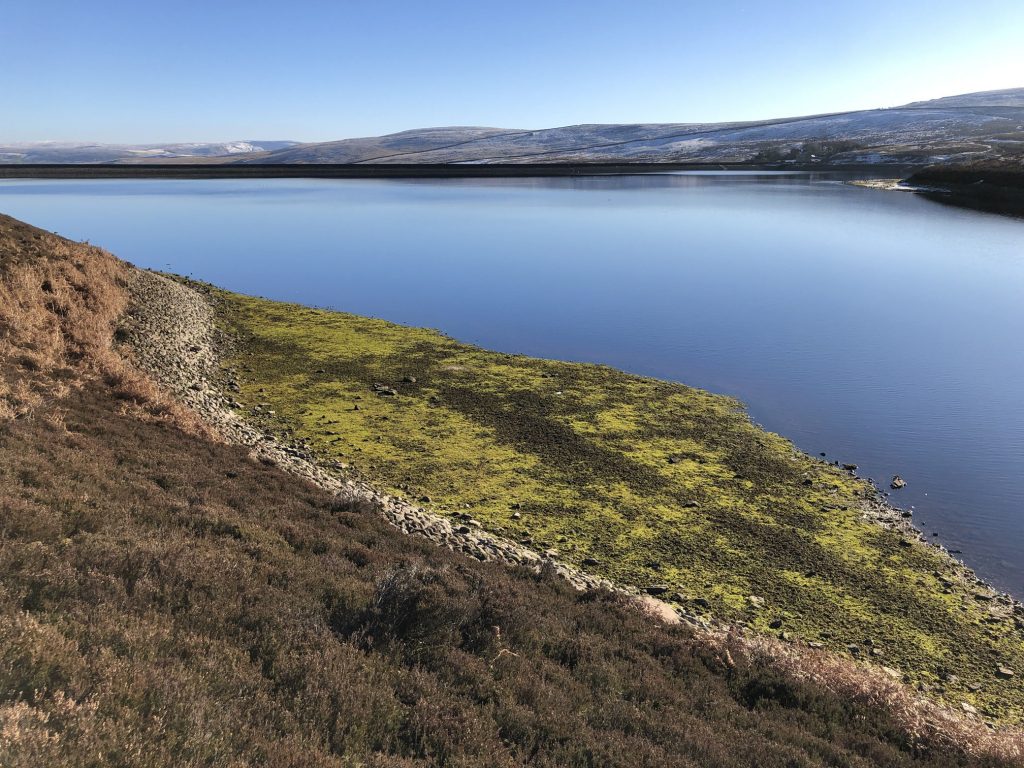
Upper Barden Reservoir.
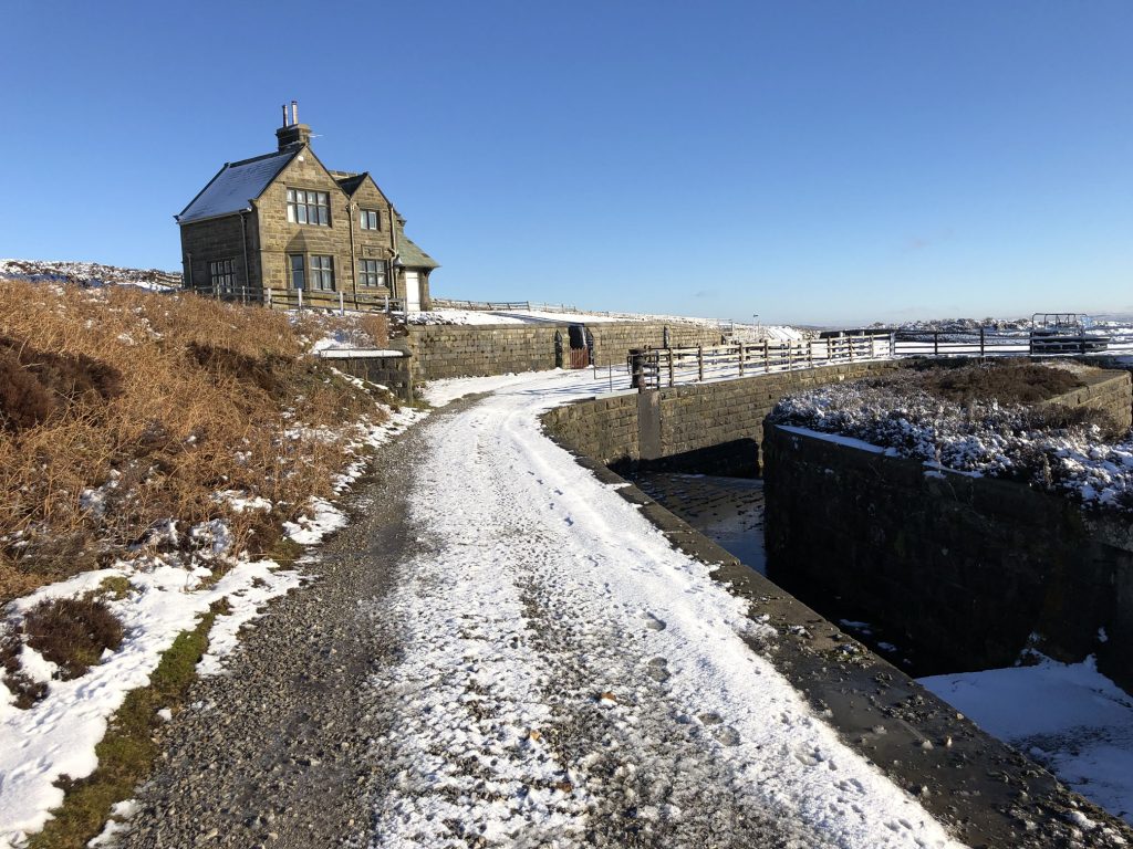
Nineteenth century building near Upper Barden Reservoir.
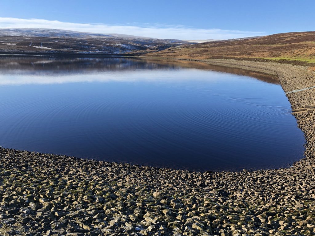
Lower Barden Reservoir.
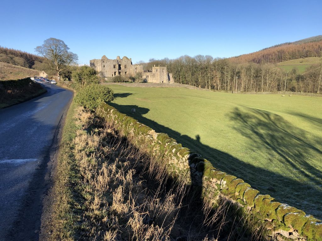
Barden Tower
A medieval fortified manor house beside the River Wharfe on the eastern fringes of the Yorkshire Dales. The Tower was built in the 15th century by Henry Clifford to replace an earlier hunting lodge.
Barden Bridge
Barden Bridge is an attractive three-arched humpbacked bridge across the River Wharfe north of Bolton Abbey on the eastern edge of the Yorkshire Dales. The bridge crosses the river just north-east of Barden Tower, a 15th-century fortified manor house.
The bridge was erected in 1659 at a cost of £300 and is built of ashlar blocks. There are large triangular cutwaters on the upstream side to minimise the force of the rushing water. The top of the cutwaters creates small pedestrian retreats so that it is relatively safe to walk across the bridge.
On the north side of the east end of the bridge is an inscription reading ‘this bridge was repayred at the charge of the whole West riding 1676’.
The date refers to the fact that the original 1659 bridge was swept away in a flood in 1673 and had to be rebuilt. The parapets had to be renewed in 1856 and again in 1956 after flood damage.
The bridge we see today dates from the 17th century but there was certainly a bridge here as early as the 14th century, and probably much earlier than that.
The bridge is very narrow, with an opening of only 10 feet which naturally means that only one vehicle at a time can drive over it.
The bridge is a Scheduled Ancient Monument and is a listed Grade 2 building. An old story – very likely true – says that Barden Bridge was used by William Craven (1548-1618), the son of a local farmer from Appletreewick who went on to become Lord Mayor of London.
Craven’s career resembles that of Dick Whittington in that he rose from poverty to become a wealthy merchant and Lord Mayor. It has even been suggested that Craven’s life was the inspiration for the legend of Dick Whittington.
If the story is true, it cannot be this bridge that Craven used, for it wasn’t built until after his death, but he would certainly have used the earlier medieval bridge that it replaced.
Information sourced from https://www.britainexpress.com/counties/yorkshire/properties/barden-bridge.htm
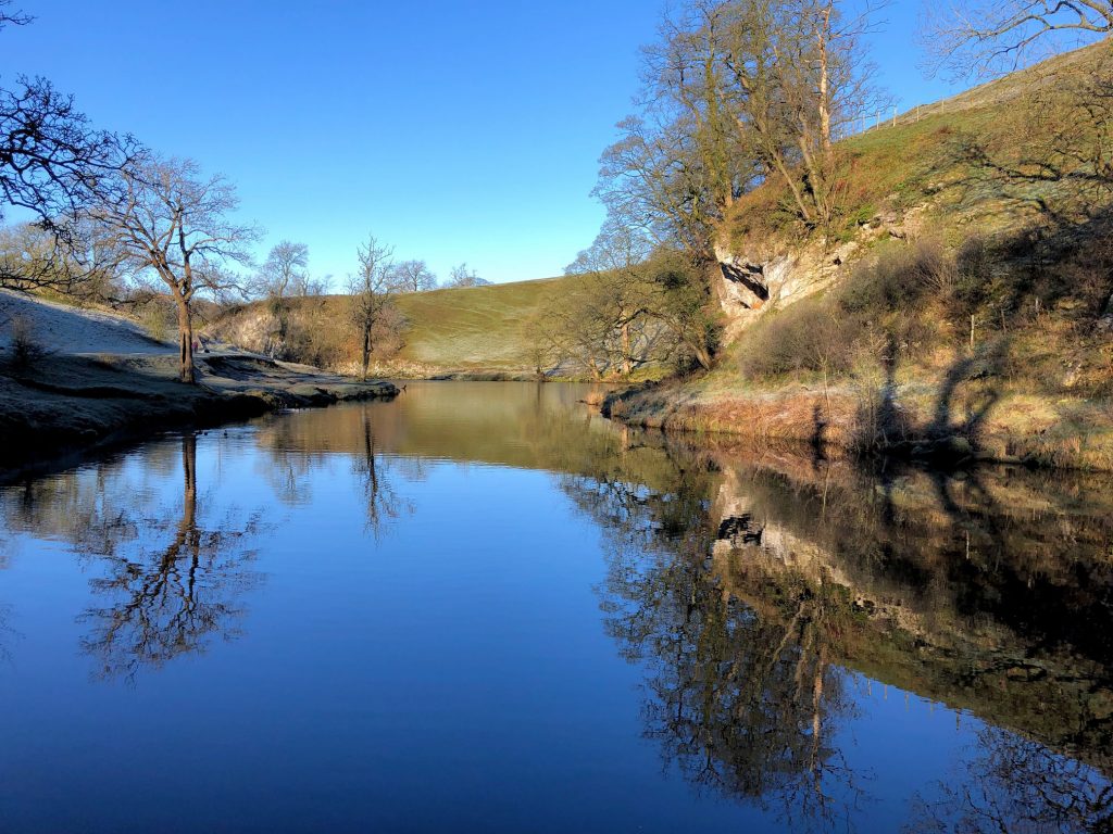
The River Wharfe.
