Experience the Lake District’s Three Dodds on the Great Dodd Walk
Commence your Great Dodd walk at the small car park adjacent to the B5233 road, opposite Lowthwaite Farm in St John’s in the Vale. Start heading northwards for about half a mile along the roadside, passing Hill Top Farm. Then proceed east, walking beneath the northern slopes of Threlkeld Knotts. Continue your exploration along the historic Old Coach Road across Hausewell Brow.
Prepare for a challenging climb as your journey turns south-west, towards the peak of Clough Head. Upon reaching the top, a footpath awaits you, leading south to the summit of Calfhow Pike. This forms a rewarding checkpoint in your Great Dodd walk, providing panoramic views of the surrounding landscape.
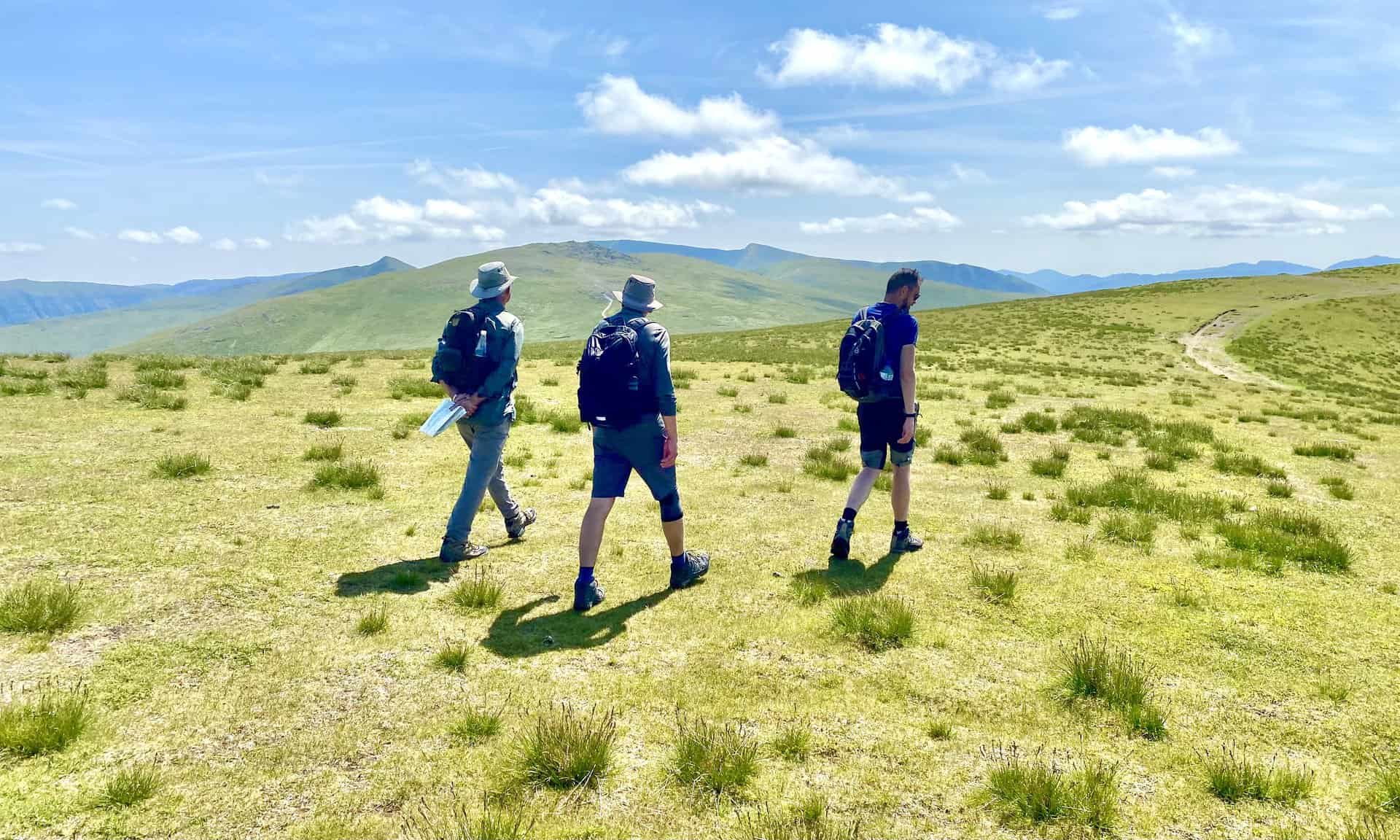
From Calfhow Pike, shift your direction south-east, guiding you to the pinnacle of Great Dodd. After this, change direction to south-west, and you will find yourself standing atop Watson’s Dodd. Your next target, Stybarrow Dodd, lies to the south-east of this point. Continue south after enjoying the vistas from Stybarrow Dodd, making your way towards the intersection known as Sticks Pass.
Upon turning west from Sticks Pass, brace yourself for a steep descent down to Stanah and Legburthwaite. Venture northwards through the heart of St John’s in the Vale, staying on footpaths that skirt the western side of the B5233 road. Notable landmarks on this stretch include Low Bridge End Farm and Sosgill Bridge, leading you to Bridge House. To conclude your Great Dodd walk, proceed east via Howgate to reach the road, then turn south along the B5233 road again, guiding you back to the car park. Your 12-mile exploration of the Lake District is now complete.
Great Dodd Walk: Maps and Tools
Visit either the OS Maps website or the Outdooractive website to view this walking route in greater detail. Both platforms offer a range of features, including the ability to print the route, download it to your device, and export the route as a GPX file. You can also watch a 3D fly-over and share the route on social media.
Great Dodd Walk: Distance, Duration, Statistics
Distance: 12 miles
Distance: 19½ kilometres
Duration: 6½ hours
Ascent: 3157 feet
Ascent: 962 metres
Type: Circular walk
About Great Dodd
Great Dodd, a fell in the English Lake District, forms part of the Helvellyn range. Its name means ‘big round hill’, reflecting the mountain’s characteristic appearance. It is located on a north-south ridge between Thirlmere and Ullswater.
Walkers may reach Great Dodd from various directions. High Row near Dockray offers an approach from the east, while Legburthwaite provides a western route. Alternatively, the main ridge track is accessible from both north and south. Additionally, the western side of the mountain presents three gill climbs that may appeal to skilled scramblers.
At the summit, you’ll find a smooth, grassy dome, a feature shared with its southern neighbours, Watson’s Dodd and Stybarrow Dodd. These three fells, often referred to as ‘The Three Dodds’, consist of volcanic rocks from the Borrowdale Volcanic Group. They’re topped by the same rock sheet, a result of colossal volcanic explosions that occurred during the formation of a volcanic caldera about 450 million years ago.
In the Pictorial Guide to the Lakeland Fells, Great Dodd ranks 19th in height among the Wainwright Fells. Standing at 857 metres (2812 feet), this majestic mountain offers a unique experience for any Great Dodd walk. Its grid reference is NY 342 205, and it is covered in the OS Explorer map OL5 and the OS Landranger map 90. For those interested, you can find more details in the Eastern Fells Wainwright Book.
Recommended Ordnance Survey Map
The best map to use on this walk is the Ordnance Survey map of the Lake District North-Eastern Area, reference OS Explorer OL5, scale 1:25,000. It clearly displays footpaths, rights of way, open access land and vegetation on the ground, making it ideal for walking, running and hiking. The map can be purchased from Amazon in either a standard, paper version or a weatherproof, laminated version, as shown below.
Standard Version
Great Dodd Walk: My Photos
The summit of Clough Head, height 726 metres (2382 feet), about one-quarter of the way round our Great Dodd walk.
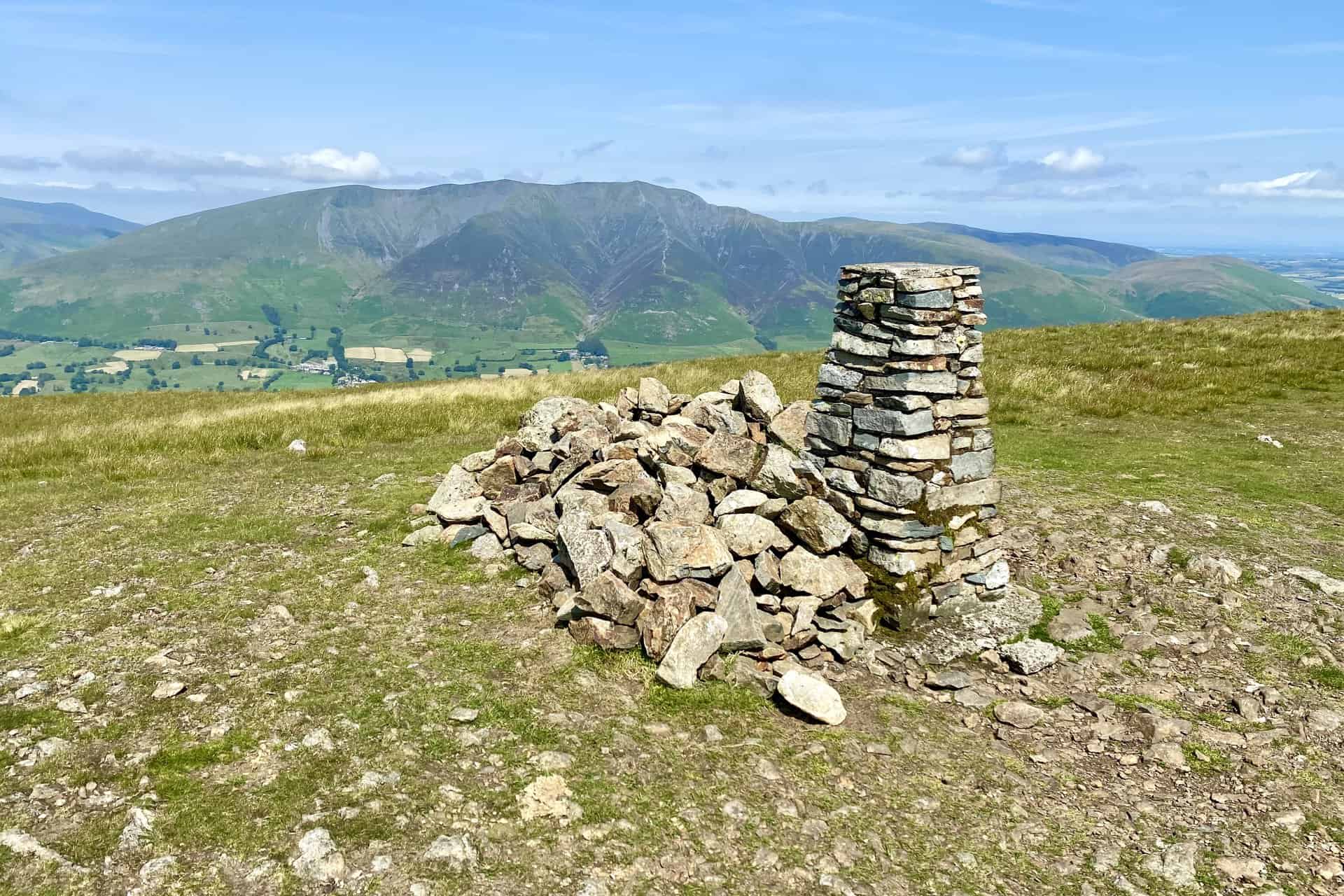
The view of Blencathra from Clough Head.
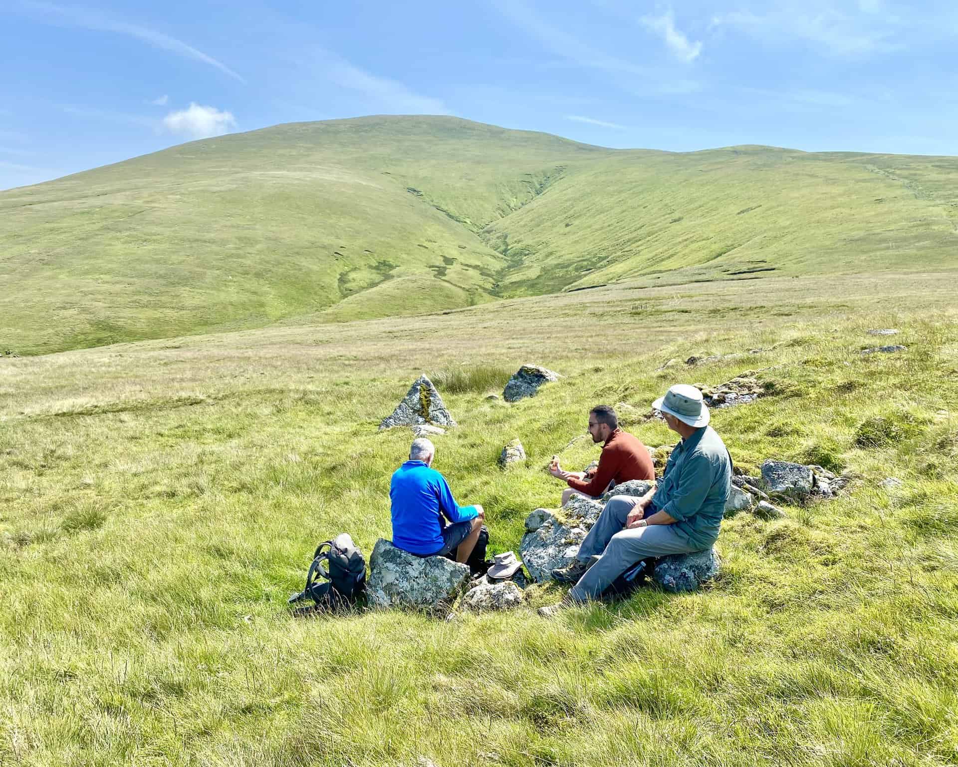
Time for a break near Calfhow Pike before we head south-east up to Great Dodd.
Looking north-west from Calfhow Pike towards Skiddaw.
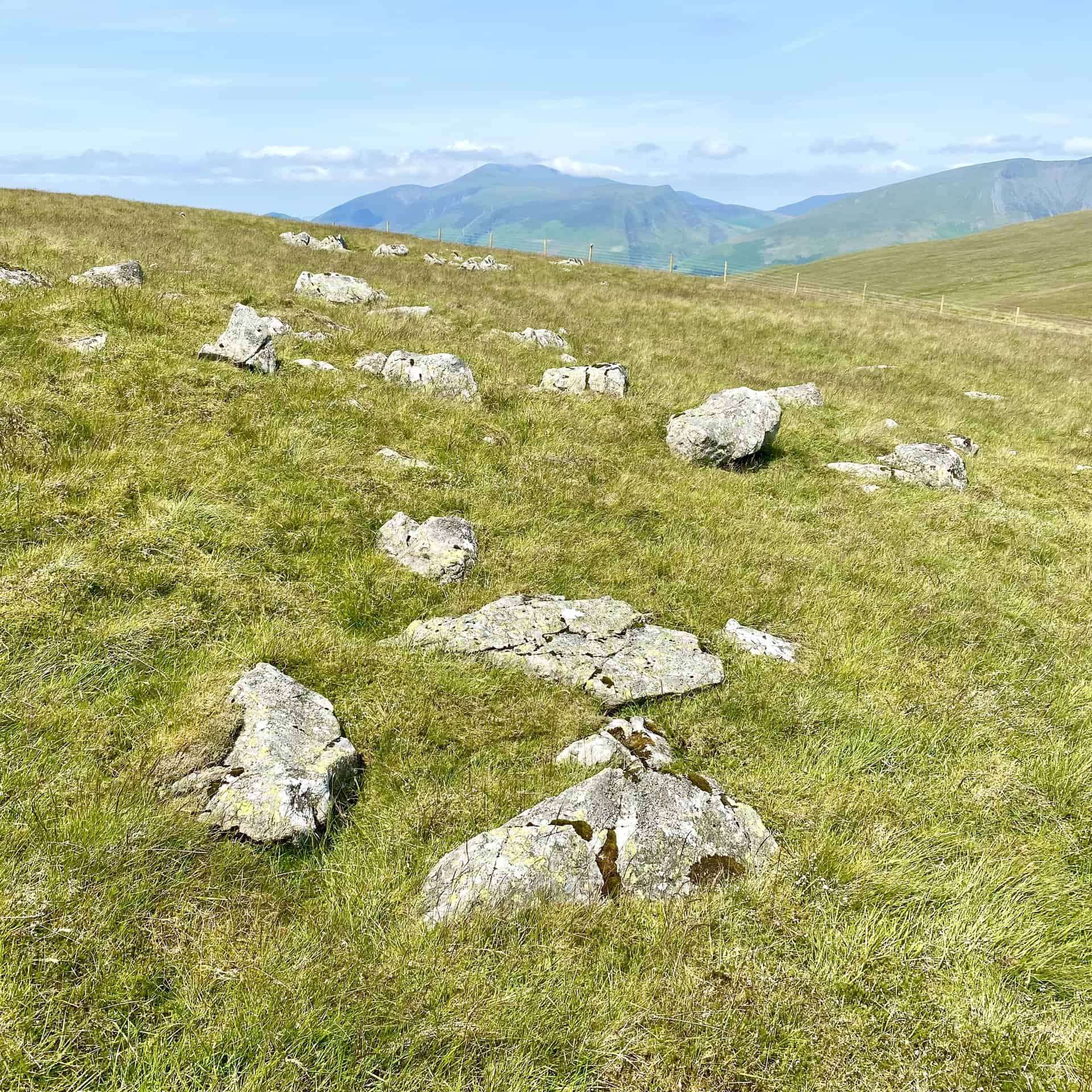
The grassy slopes of Matterdale Common with Great Mell Fell in the background.
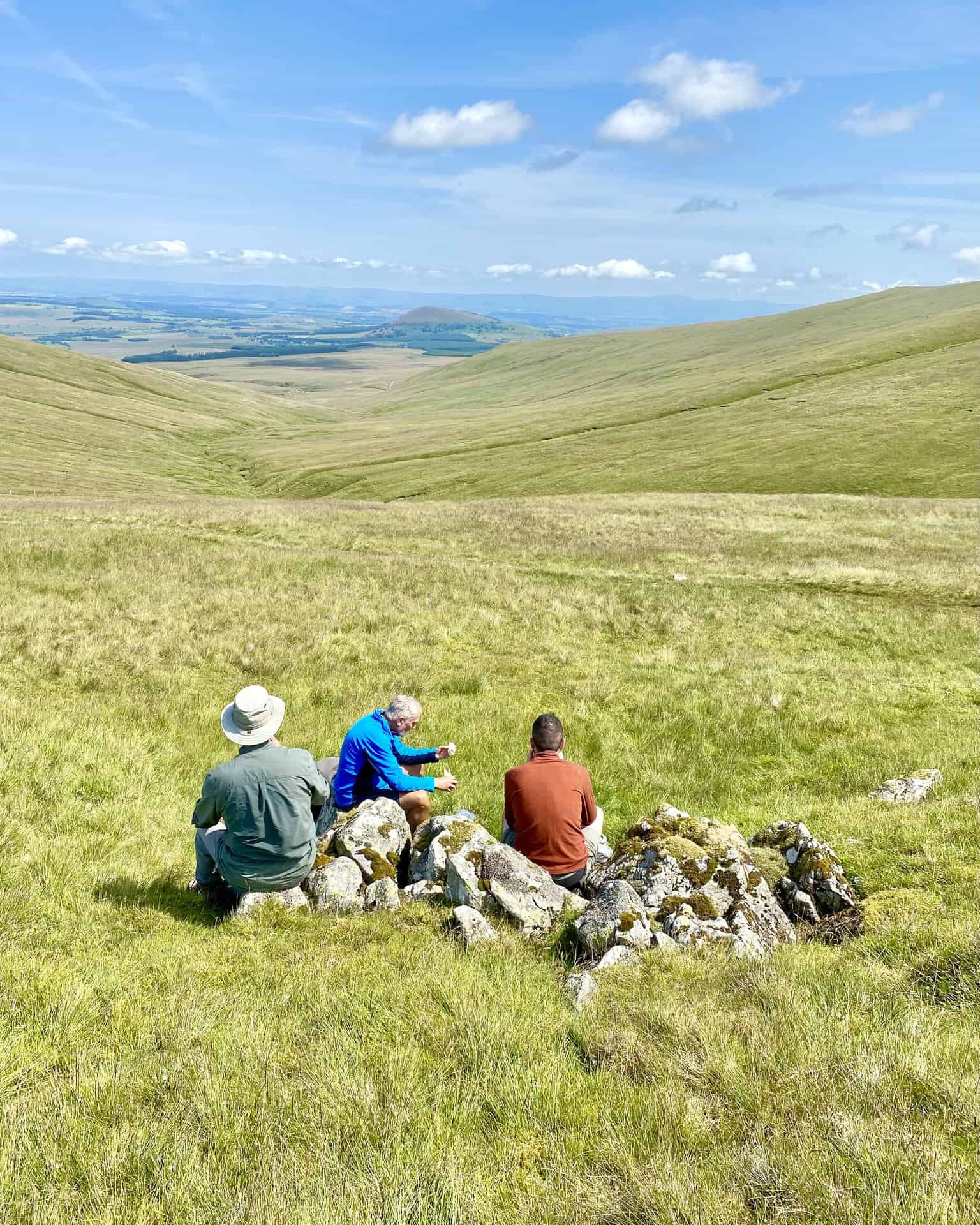
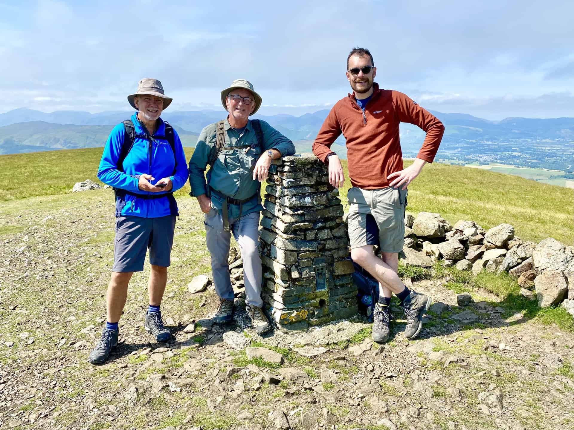
The summit of Great Dodd, height 857 metres (2812 feet). This is the halfway point of our Great Dodd walk.

Thirlmere (Reservoir) as seen from Great Dodd, with the Scafell Pike range of mountains on the horizon.
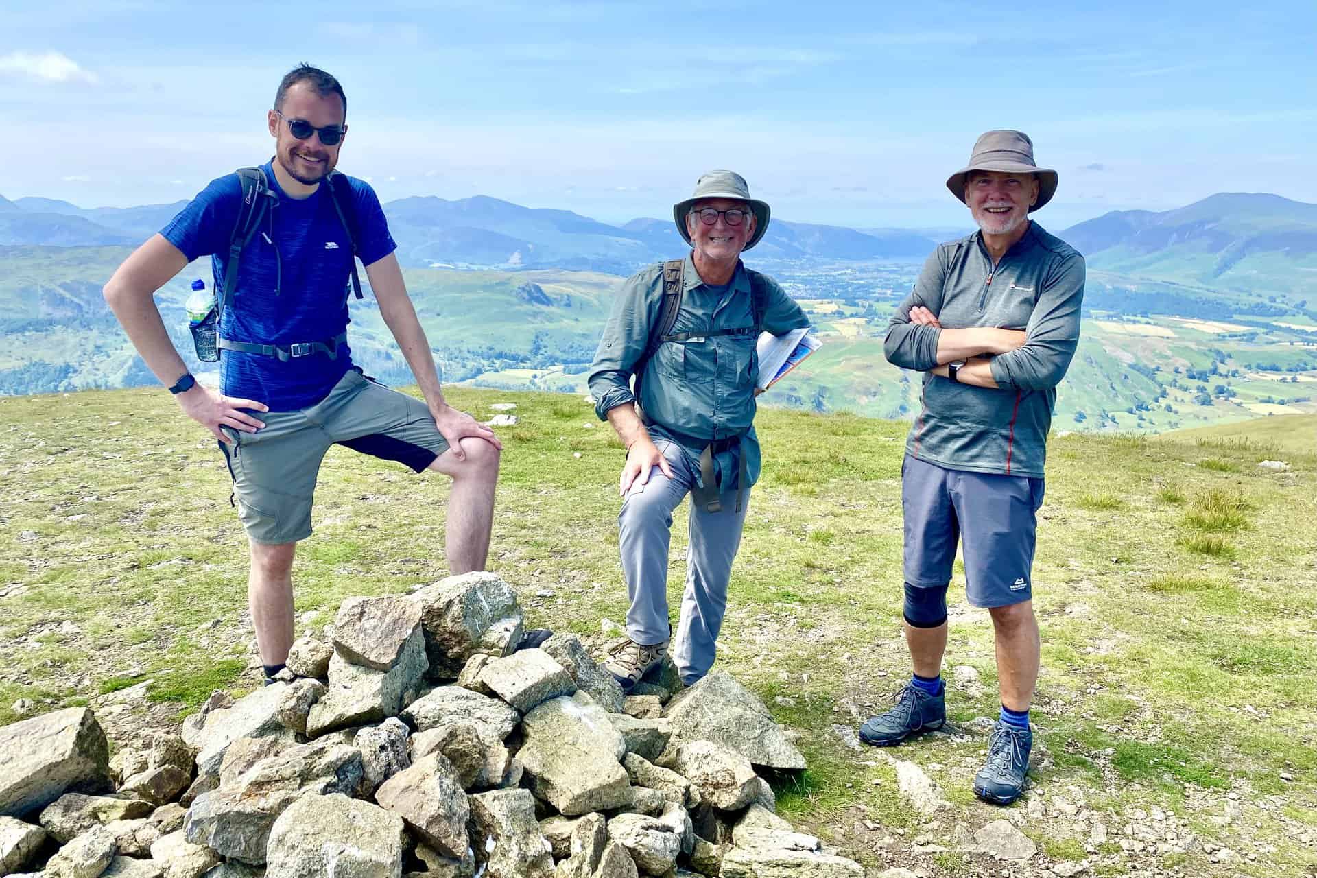
The summit of Watson’s Dodd, height 789 metres (2589 feet).
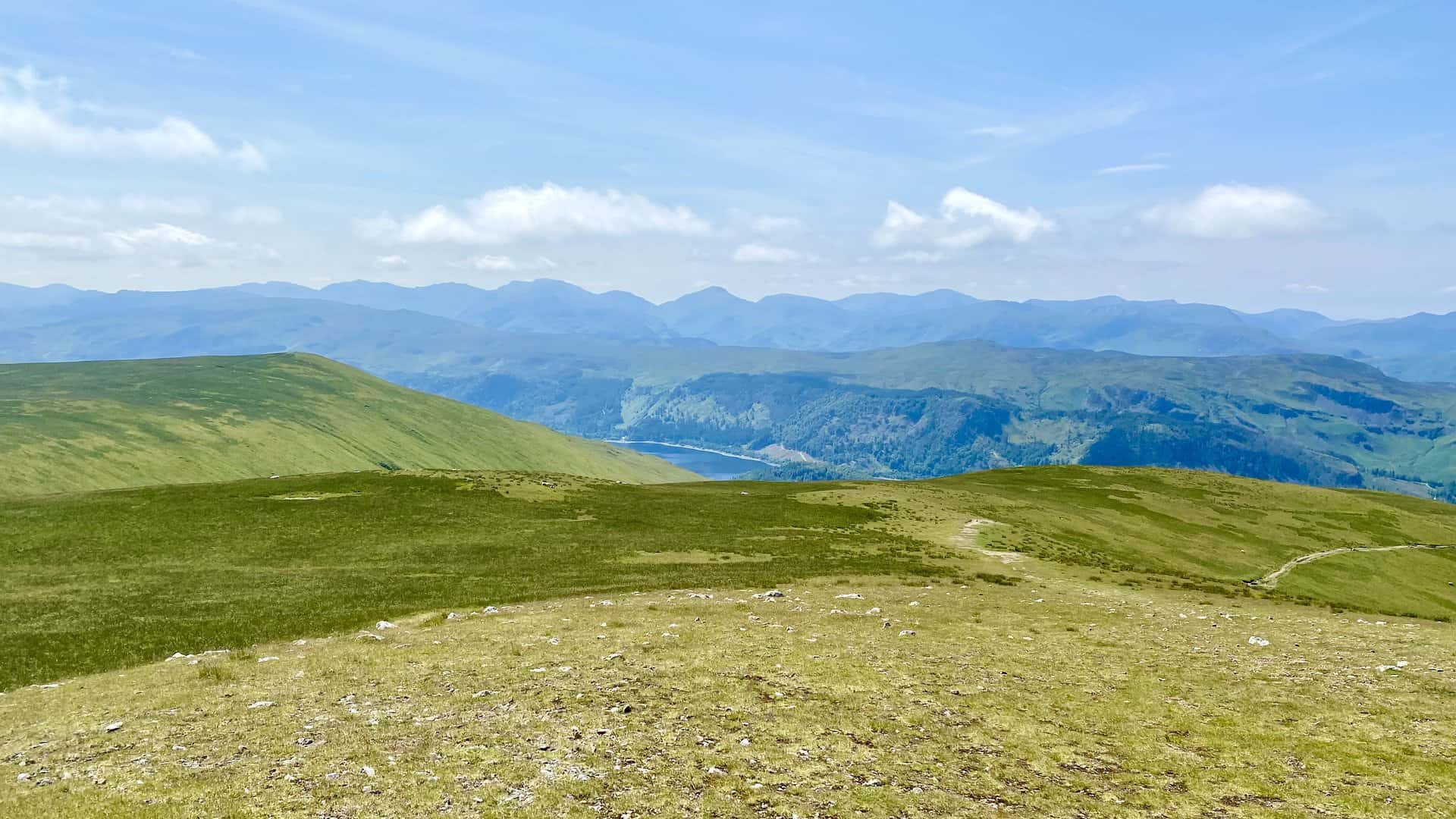
The view of Thirlmere from Watson’s Dodd.

Heading over to Stybarrow Dodd from Watson’s Dodd.
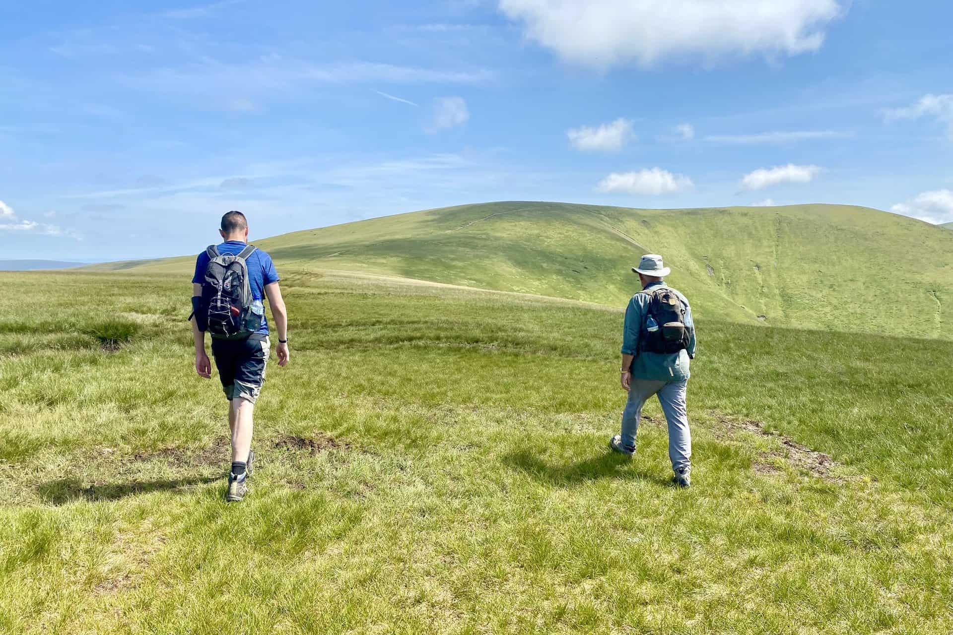
The summit of Stybarrow Dodd, height 843 metres (2768 feet).
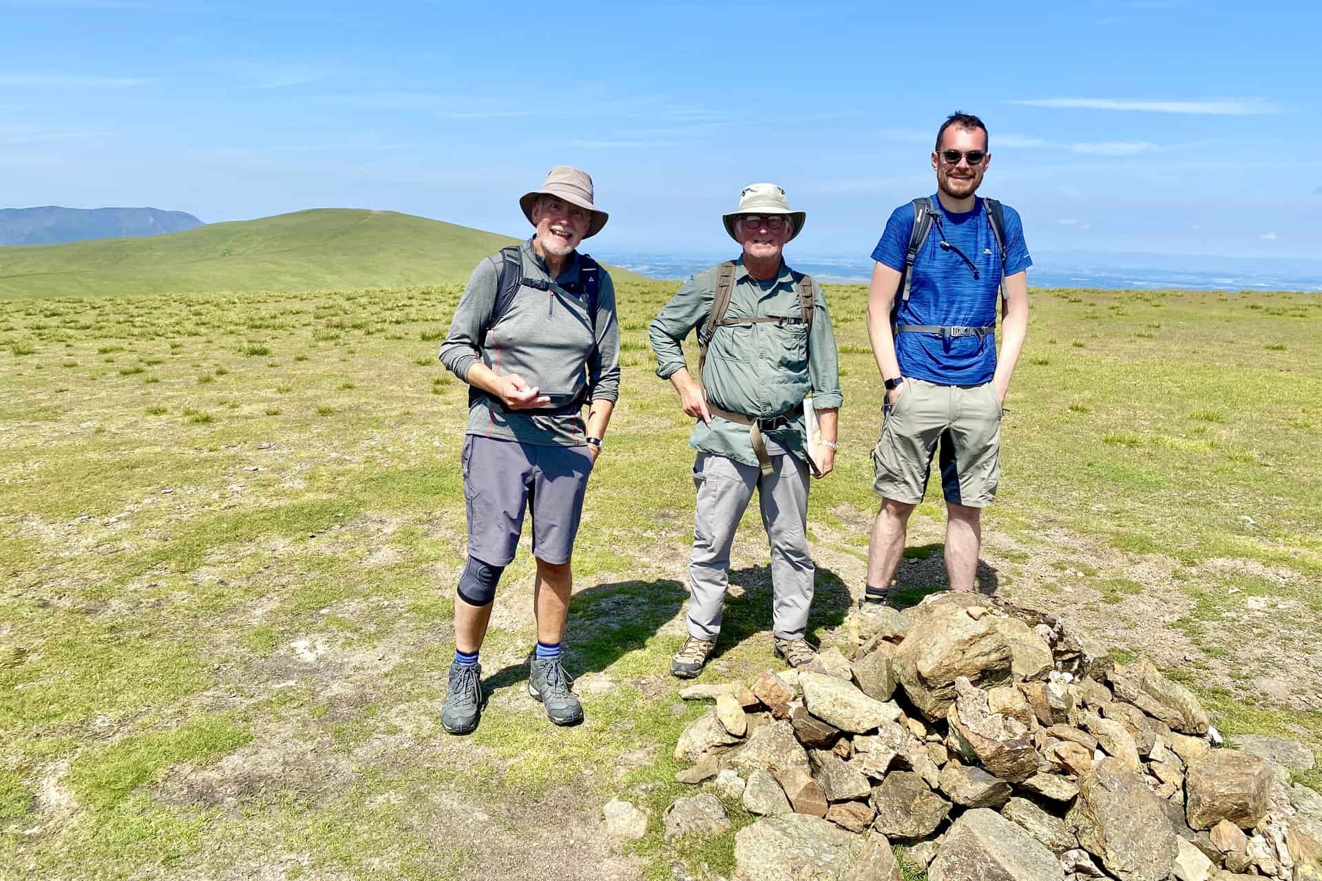
Heading south from Stybarrow Dodd to Sticks Pass.

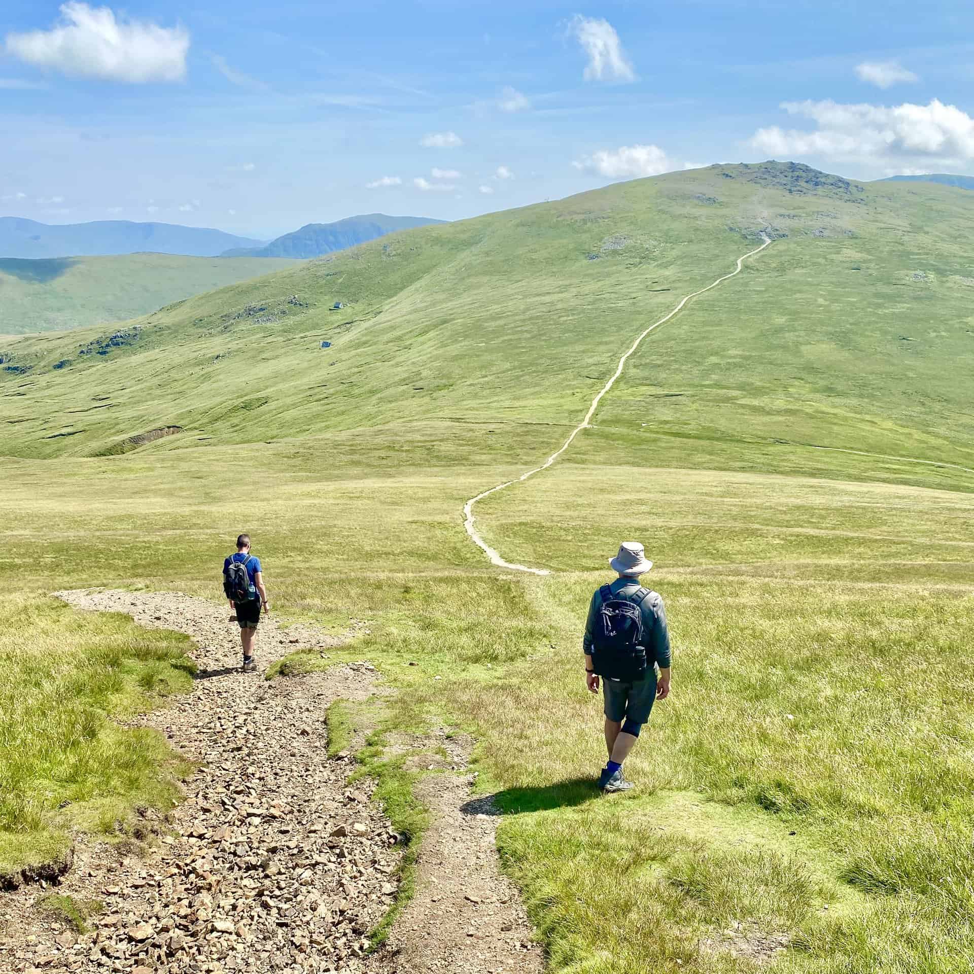
The crossroads at Sticks Pass. Straight on would take us up to Raise, left is down to Glenridding and Ullswater, but we’re turning right which leads to Legburthwaite.
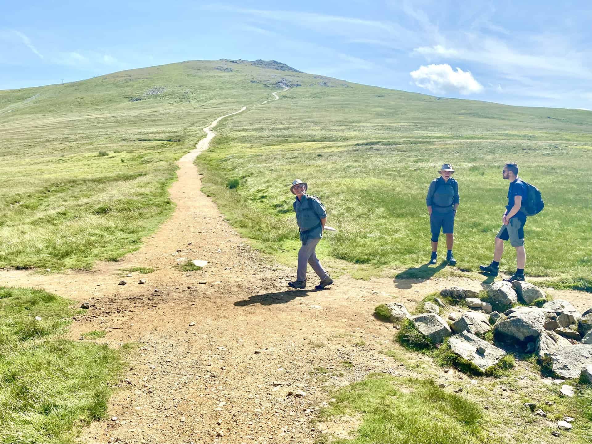
The view north-west towards Skiddaw and Bassenthwaite Lake as we descend from Sticks Pass.
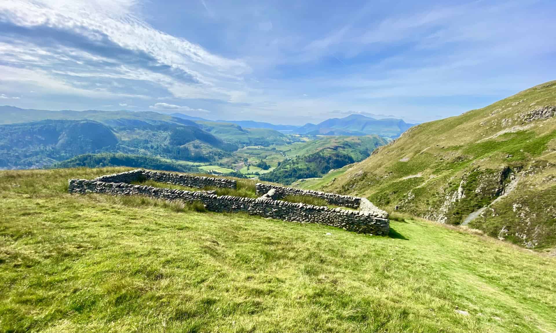
Sheepfold between Sticks Pass and Stanah.
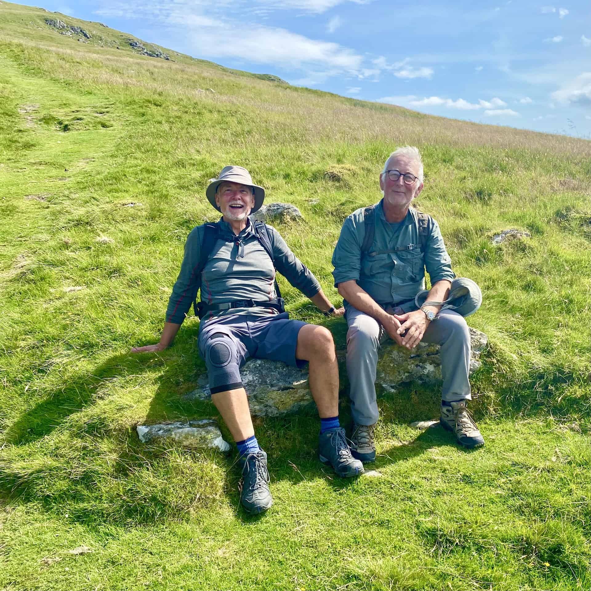
Mike and Keith have a rest on the steep, grassy slopes just east of Stanah.
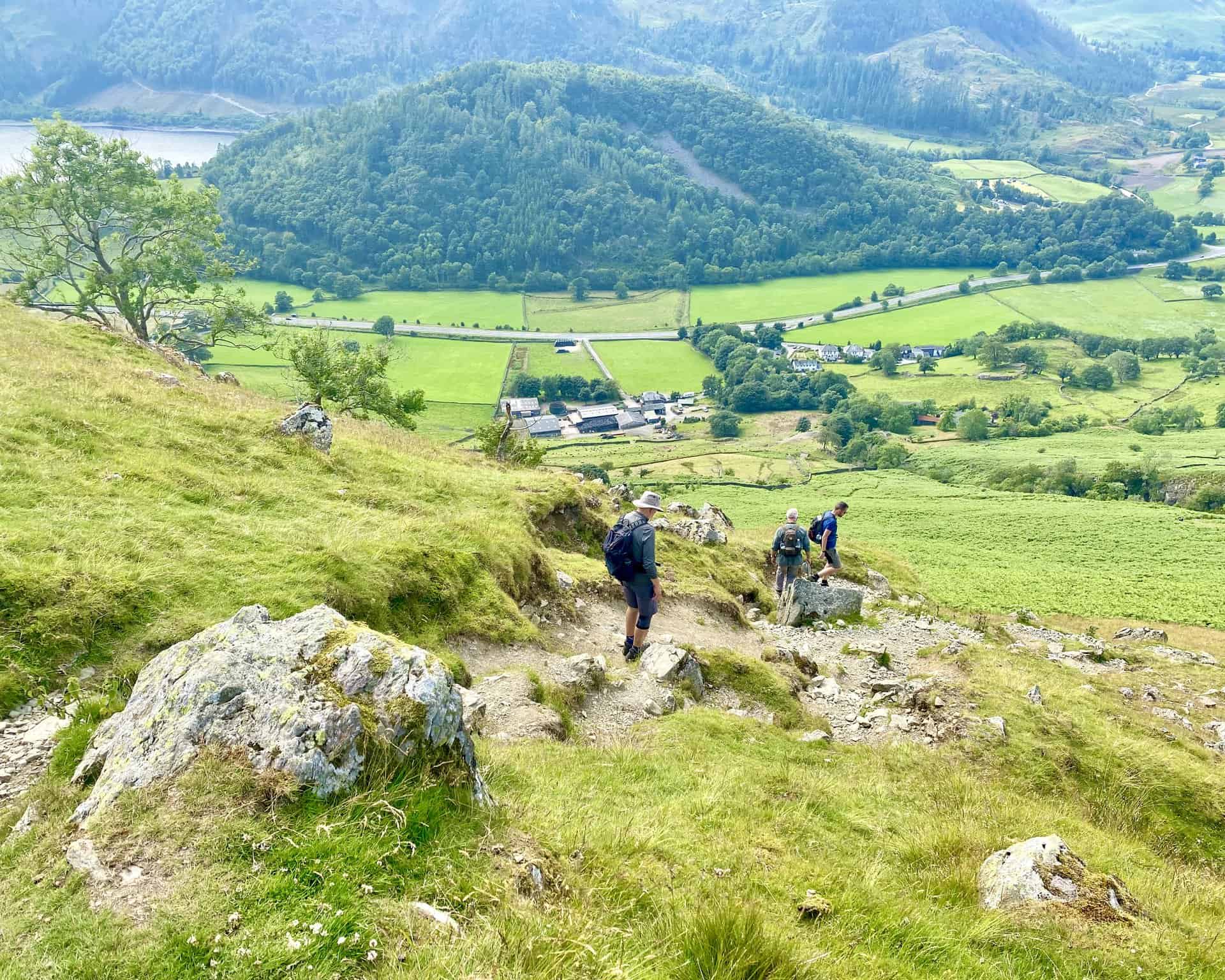
Greathow Wood on Great How.
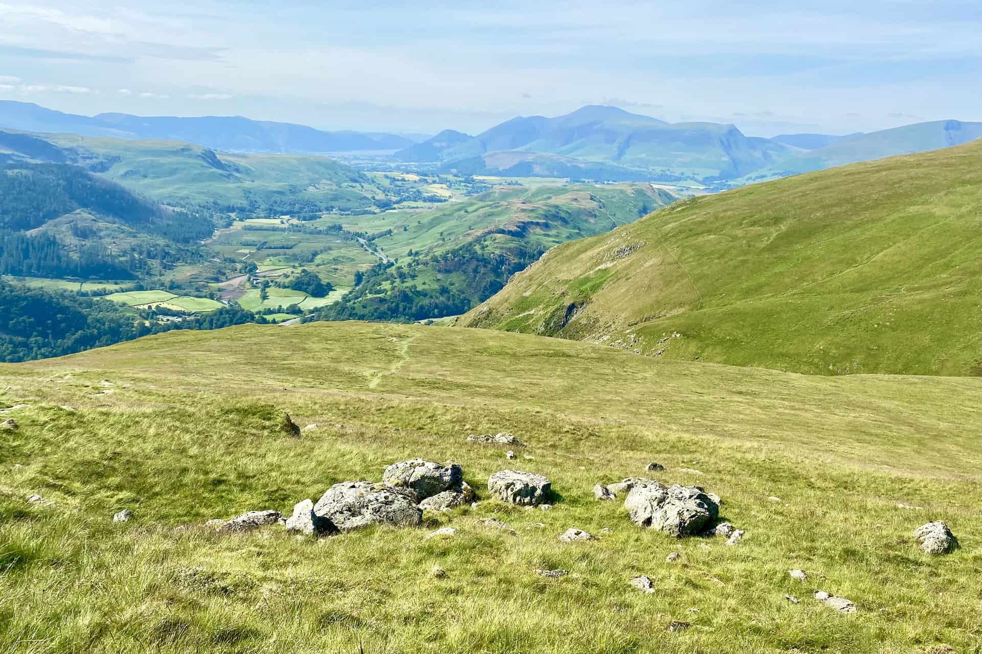
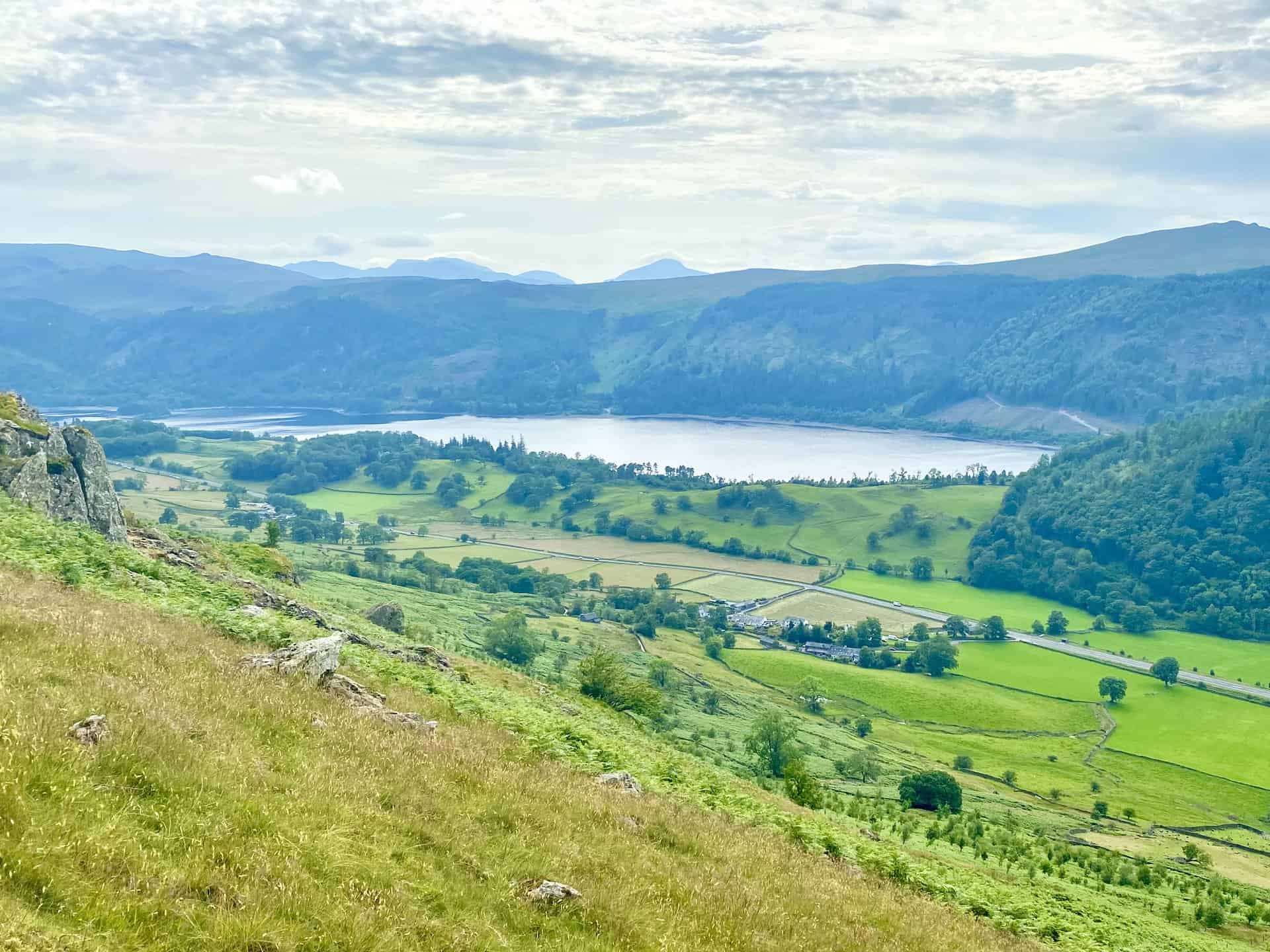
Thirlmere (Reservoir) now in full view from the lower, western slopes of Stybarrow Dodd.
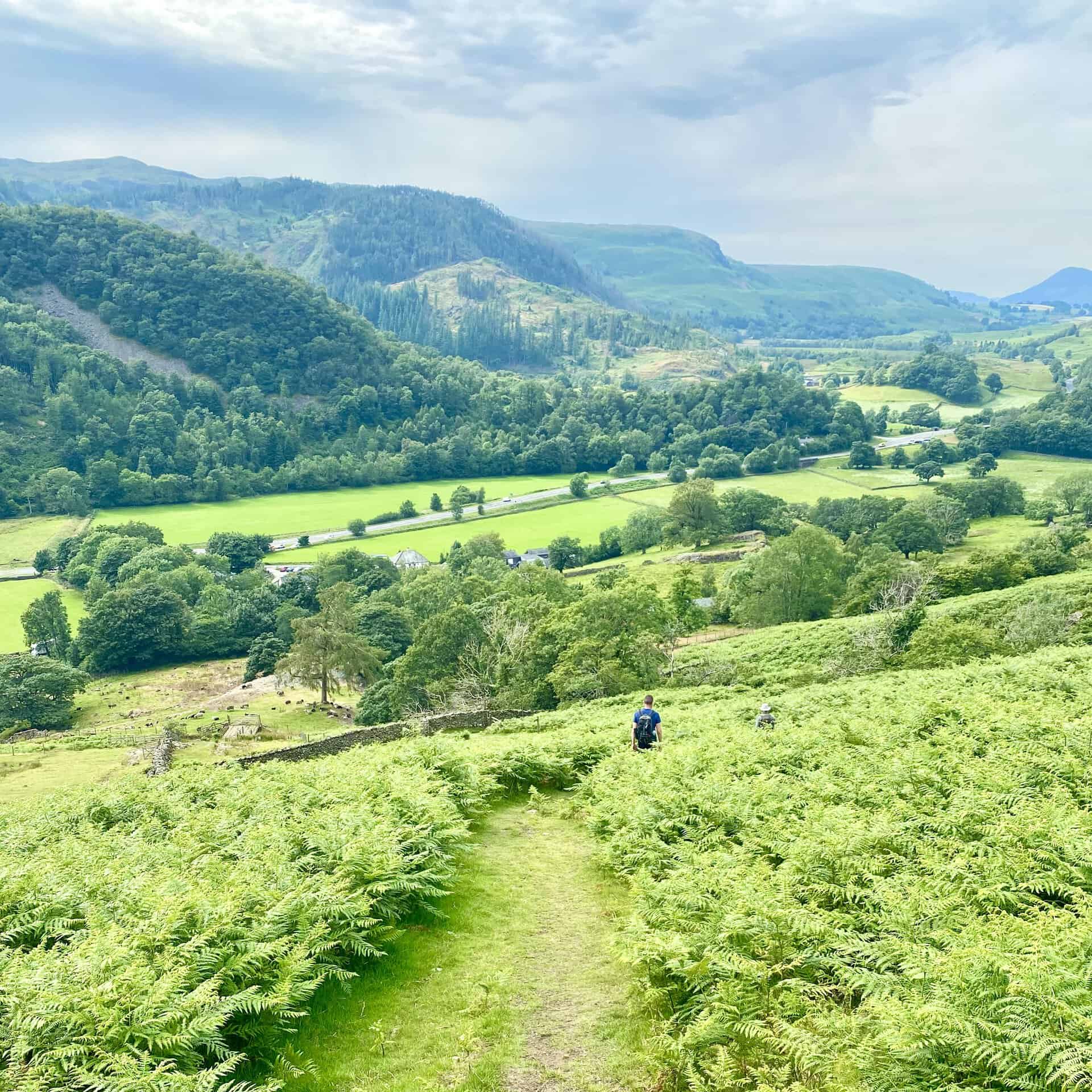
The final part of the descent close to Stanah.
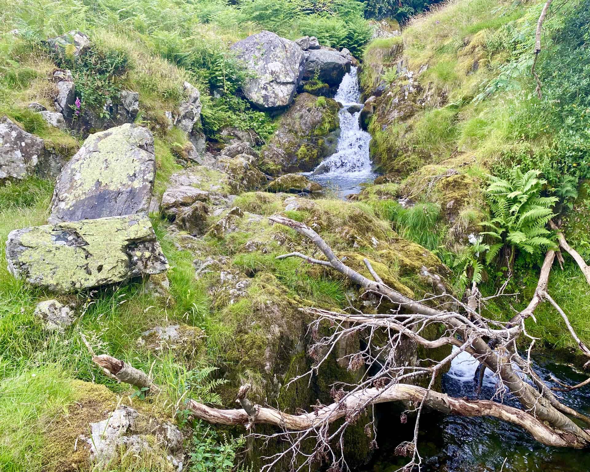
Sty Beck Fall.
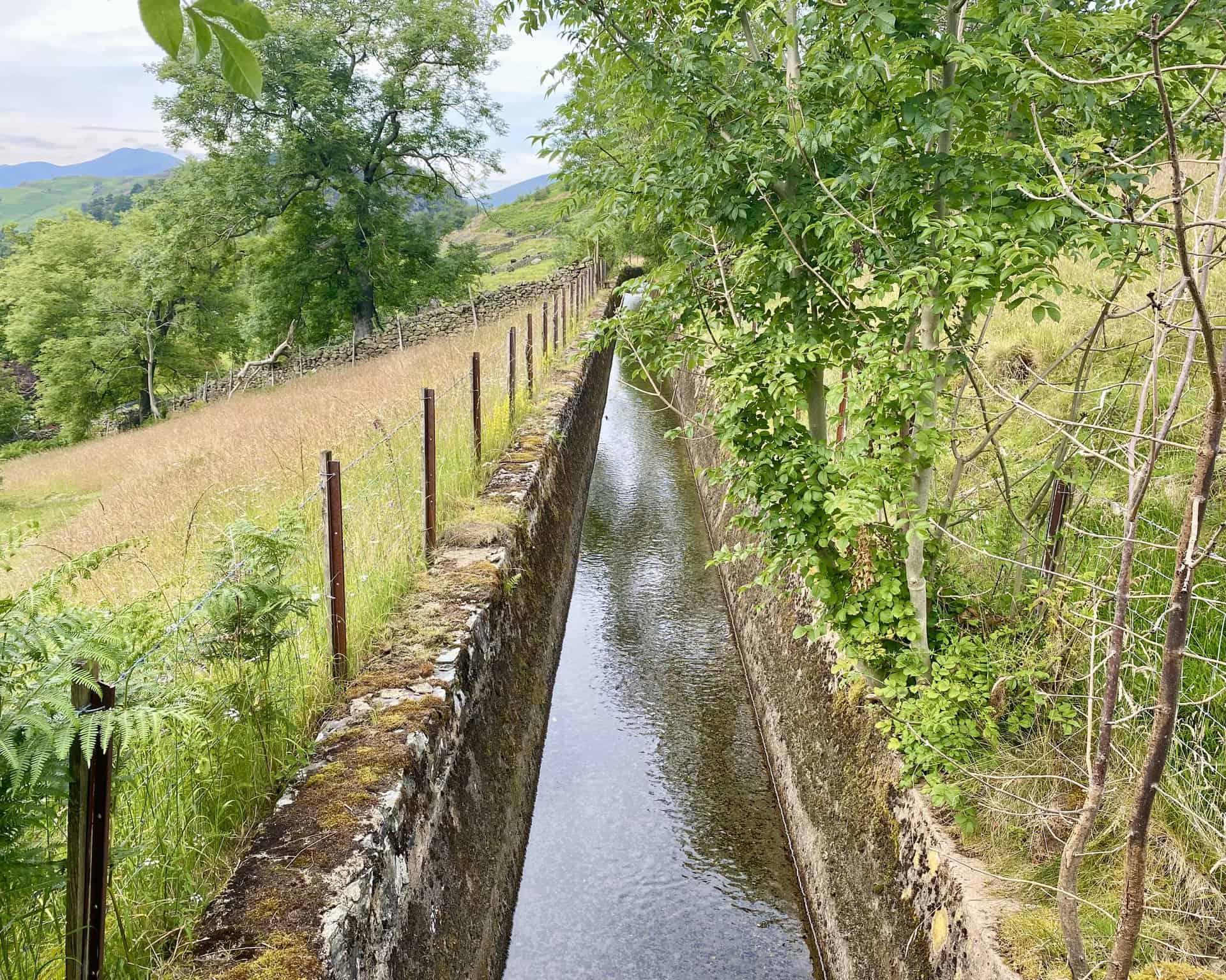
A leat or man-made watercourse at Stanah.
Refreshments at the Lodge in the Vale, Legburthwaite. We’re just less than three-quarters of the way round our Great Dodd walk.

The fifth Wainwright of the day! The four previous ones were Clough Head, Great Dodd, Watson’s Dodd and Stybarrow Dodd.
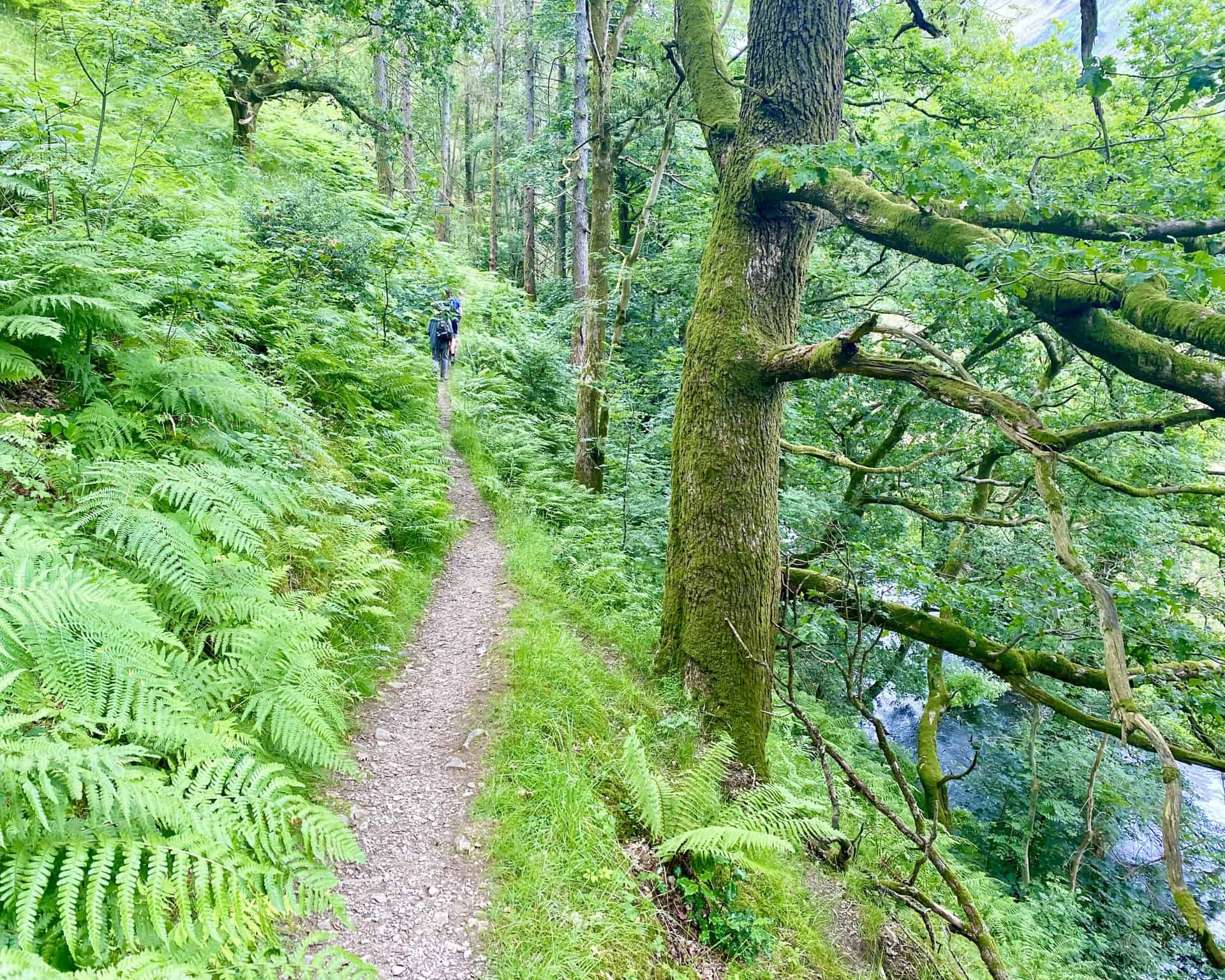
The woodland path through St John’s in the Vale below the eastern flanks of High Rigg.
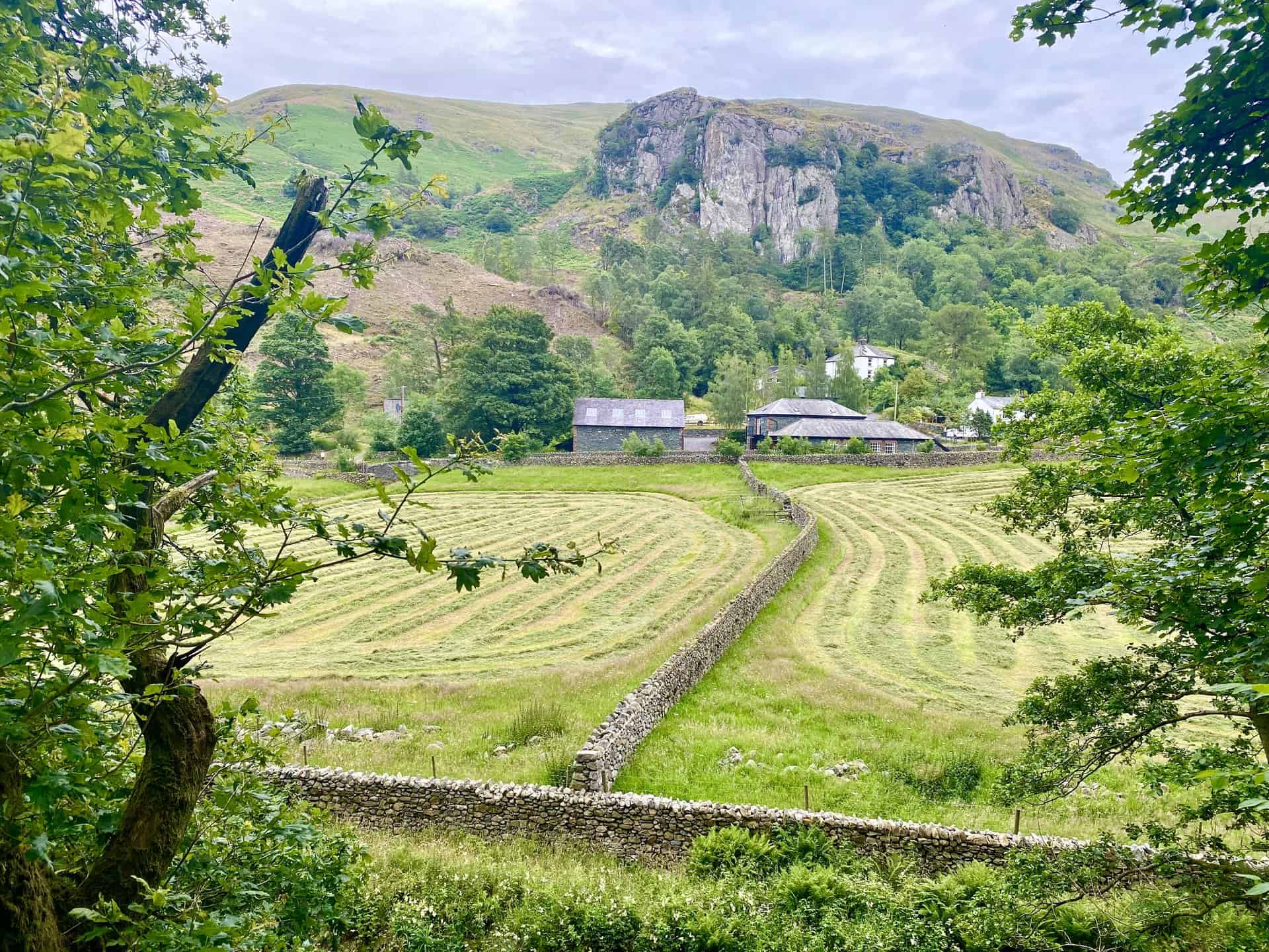
The view over to Castle Rock from the path through St John’s in the Vale.
Amazon’s Top Walking Boots: Four Standout Choices for Men and Women
For walking and hiking, the right boots are essential for both comfort and safety. While Amazon boasts a wide range, certain boots emerge as top-sellers. From those, here are four I personally favour. As an Amazon affiliate, I may earn a small commission from any purchases made through the links provided. This helps support the upkeep of this website. Rest assured, you won’t pay a penny extra, but your purchase will contribute to keeping my site running smoothly. Happy walking!

Berghaus Men’s Hillmaster II Gore-Tex Walking Boots
These fully waterproof leather walking boots feature a Gore-Tex lining, ensuring no water enters whilst allowing feet to breathe and stay cool. Made from full-grain leather, they promise unmatched durability and comfort. The boots come with memory foam tongues and cuffs that mould to your feet for a tailored fit, and the Vibram Hillmaster outsoles offer confidence on challenging terrains.

Salewa Men’s Mountain Trainer Mid Gore-Tex Walking Boots
Made from durable suede and abrasion-resistant textile, these men’s hiking boots are both lightweight and sturdy. The upper material is enhanced by a 360° full rubber sheath. Their dual-layer midsole with Bilight technology ensures ergonomic cushioning and grip, especially on extended hikes. The Vibram Wrapping Thread Combi outsoles allow a natural walking feel, and the Gore-Tex lining provides waterproofing, breathability, and optimal weather protection. Furthermore, the patented Salewa 3F system ensures flexibility, a secure heel grip, and a blister-free fit.

Berghaus Women’s Supalite II Gore-Tex Walking Boots
Specially designed for women, these hiking boots offer waterproofing and breathability, thanks to their Gore-Tex lining. Crafted from full-grain abrasion-resistant leather, they’re durable enough for the toughest hikes. The Supalite soles ensure stability and traction, and the EVA midsoles add comfort for extended walks.

Merrell Women’s Moab 3 Mid Gore-Tex Walking Boots
These hiking boots incorporate a Gore-Tex waterproof membrane, blending breathability with superior waterproof performance. The combination of pigskin leather and mesh on the uppers, along with the suede outer material, ensure durability and style. Enhancements include 100% recycled laces, webbing, and mesh lining. Additionally, bellows tongues, protective toe caps, and Vibram TC5+ rubber soles ensure protection and ease on any terrain.