ADVERTISEMENT
Explore Alfred Wainwright’s Enchanting Lake District with My Map of Wainwrights
Discover the world of Alfred Wainwright’s Lake District with my map of Wainwrights. This interactive map, meticulously crafted on Google My Maps, features all 214 fells described by Wainwright himself. From the tallest to the smallest, each fell’s details are available at the click of a marker.
The map reveals insightful data such as the fell’s name, its rank in terms of height amongst the other fells, and its actual height in both metres and feet. It also showcases which of Wainwright’s books and which OS Explorer or OS Landranger map the fell is featured in. To facilitate navigation, the grid reference of each fell is included, along with its DoBIH classification. Moreover, a link provides in-depth information about each fell on the DoBIH website.
Begin your journey through the Lake District today with my comprehensive map of Wainwrights. Click or tap any diamond!
Journey further into the Lake District by scrolling down to uncover seven bonus maps, all created with Google My Maps. Each map echoes the detailed, feature-rich structure of the main map of Wainwrights, focusing on the fells detailed in each book of Wainwright’s Pictorial Guide to the Lakeland Fells. Explore the 35 Eastern Fells, the 36 Far Eastern Fells, the 27 Central Fells, the 30 Southern Fells, the 24 Northern Fells, the 29 North Western Fells, and the 33 Western Fells.
If you’re interested in delving even deeper, I’ve also curated a comprehensive list of Wainwrights on another page. Feel free to explore it here: https://www.paulbeal.com/list-of-wainwrights.
Peak Bagging Wainwrights
Written by Karen and Dan Parker, this guide is perfect if you want to complete all 214 Wainwrights efficiently. It features 45 circular routes carefully designed to link the summits with minimal overlap. Packed with practical details like downloadable GPX files and custom timings, it is an excellent choice for walkers, fastpackers, and runners.
Alfred Wainwright: A Life of Adventure and Devotion
Alfred Wainwright was born in 1907 in Blackburn, Lancashire. Coming from a poor background, he found escape in his interests in walking, drawing, and cartography. As a child, he even produced his own maps of England and his local area. His dedication to study led him to become an accountancy expert, which opened doors for him at Blackburn Borough Council.
At 23, Wainwright experienced his first trip to the Lake District, igniting a lifelong passion. In 1941, he moved closer to the Lake District, accepting a job in Kendal, Westmorland, where he served as Borough Treasurer till his retirement in 1967. Wainwright’s personal life included two marriages, his second wife, Betty McNally, joined him on his walking adventures. A loyal fan of Blackburn Rovers, he was also a founding member of the supporters’ club. His death in 1991 marked the end of an era for the Lake District and its walking community.
Walking the Wainwrights
Authored by Graham Uney, this practical guide organises the 214 fells into 64 rewarding, full-day walks. Rather than focusing purely on speed, it helps you experience the best of the Lake District’s scenery, occasionally revisiting favourite summits from new angles. It is an ideal companion for walkers seeking structured, logical days on the hills.
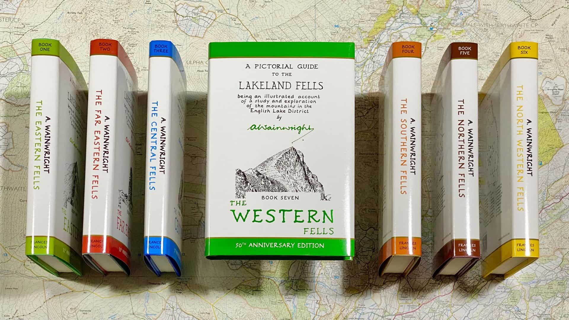
The Pictorial Guides: A Legacy of Alfred Wainwright
Wainwright began creating the Pictorial Guides to the Lakeland Fells in 1952, spending 13 years on the seven-volume series. He initially created the guides for personal use but decided to publish them privately. With the help of his friends, Henry Marshall and Sandy Hewitson, the guides came to life. Eventually, the Westmorland Gazette, and later Michael Joseph and Frances Lincoln, became his publishers.
Inspired by the meticulously crafted guides, filled with Wainwright’s unique handwriting and illustrations, I have been motivated to create my own map of Wainwrights. The details that made the guides treasured companions for Lake District explorers serve as a blueprint for my endeavour.
The Pictorial Guides underwent revisions between 2005 and 2009, with changes handled by Chris Jesty. The new versions showcased photographs by Derry Brabbs and included red-marked footpaths. Clive Hutchby, the author of The Wainwright Companion, took over revisions in 2014. The latest editions, known as the ‘Walkers Editions’, launched in 2015.
Alfred Wainwright Books & Memorabilia is a dedicated online resource that focuses on the publishing and printing history of Alfred Wainwright. The website offers detailed information about Wainwright’s extensive body of work, including his famous Pictorial Guides to the Lakeland Fells. Contributions from notable figures in the community provide new insights and perspectives on Wainwright’s legacy. The shop is also a popular destination, offering rare and hard-to-find memorabilia.
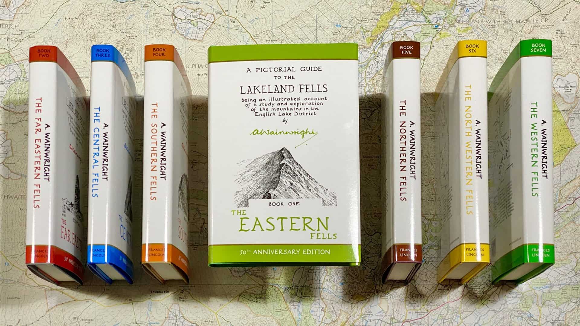
Map of Wainwrights: The Eastern Fells
This map of Wainwrights details 35 unique Eastern Fells, with boundaries defined by the River Glenderamackin, Dacre Beck, Ullswater, Goldrill Beck, Kirkstone Pass, Stock Ghyll, the River Rothay, Dunmail Raise, Thirlmere, and St John’s Beck.
BOOK ONE is dedicated to THE MEN OF THE ORDNANCE SURVEY whose maps of Lakeland have given me much pleasure both on the fells and by my fireside.
Alfred Wainwright
ADVERTISEMENT
ADVERTISEMENT
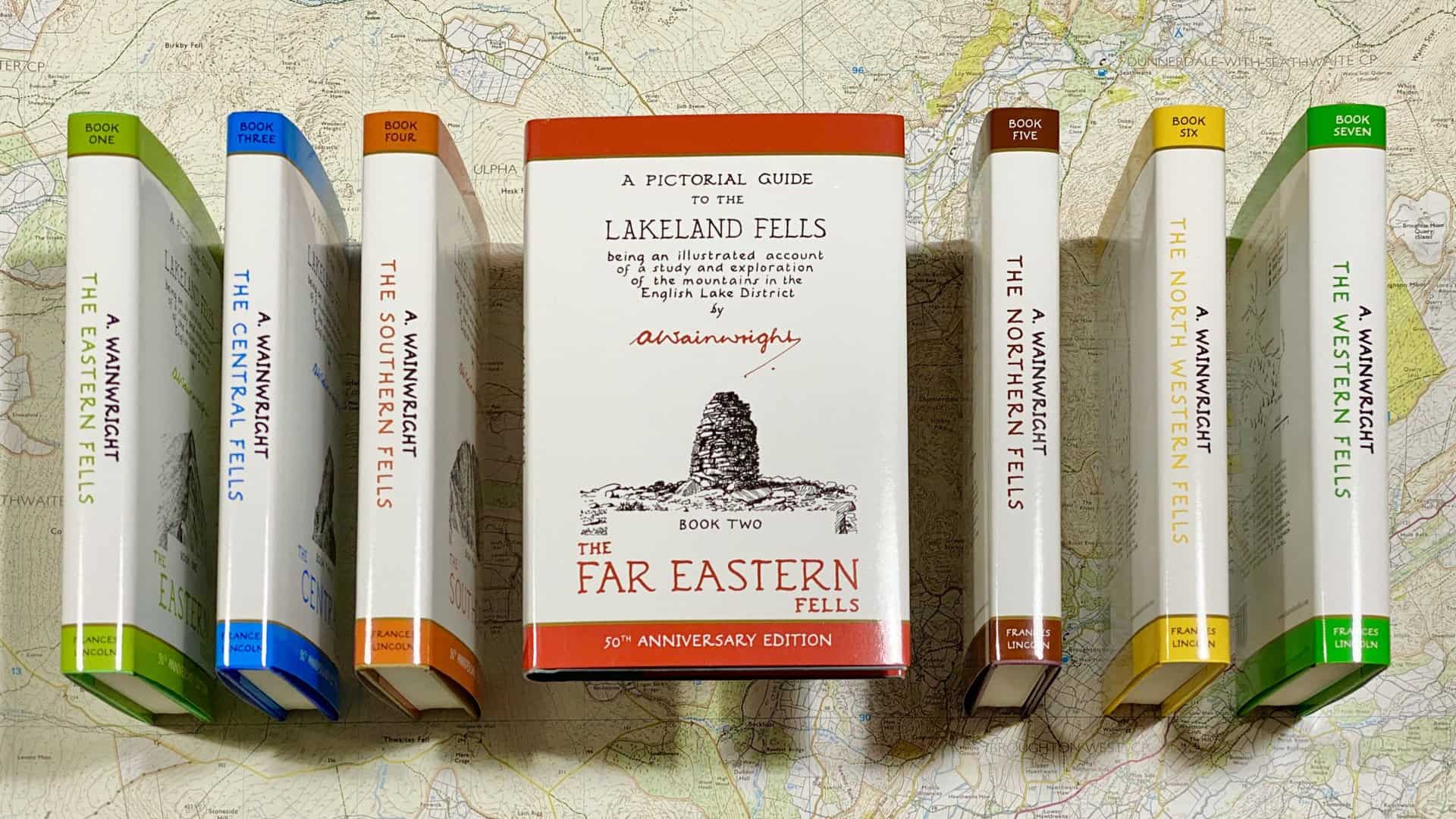
Map of Wainwrights: The Far Eastern Fells
Encompassed by Ullswater, Pooley Bridge, the River Lowther, Swindale Beck, Little Mosedale Beck, Long Sleddale, Kentmere, Troutbeck, Ambleside, Stock Ghyll, Kirkstone Pass, and Goldrill Beck, this illustrates 36 distinct Far Eastern Fells.
BOOK TWO is dedicated to the memory of THE MEN WHO BUILT THE STONE WALLS, which have endured the storms of centuries and remain to this day as monuments to enterprise, perseverance and hard work.
Alfred Wainwright
ADVERTISEMENT
ADVERTISEMENT
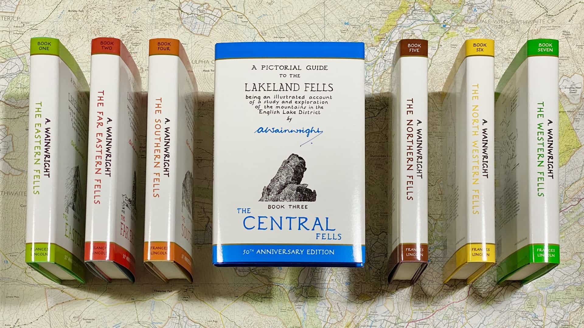
Map of Wainwrights: The Central Fells
Presenting 27 Central Fells, the area has Keswick, St John’s Vale, Thirlmere, Dunmail Raise, Grasmere, Rydal Water, the River Rothay, the River Brathay, Great Langdale, Stake Pass, Langstrath, Borrowdale, and Derwent Water serving as its borders.
BOOK THREE is dedicated to those eager explorers of the fells THE DOGS OF LAKELAND willing workers and faithful friends, and an essential part of Lakeland life.
Alfred Wainwright
ADVERTISEMENT
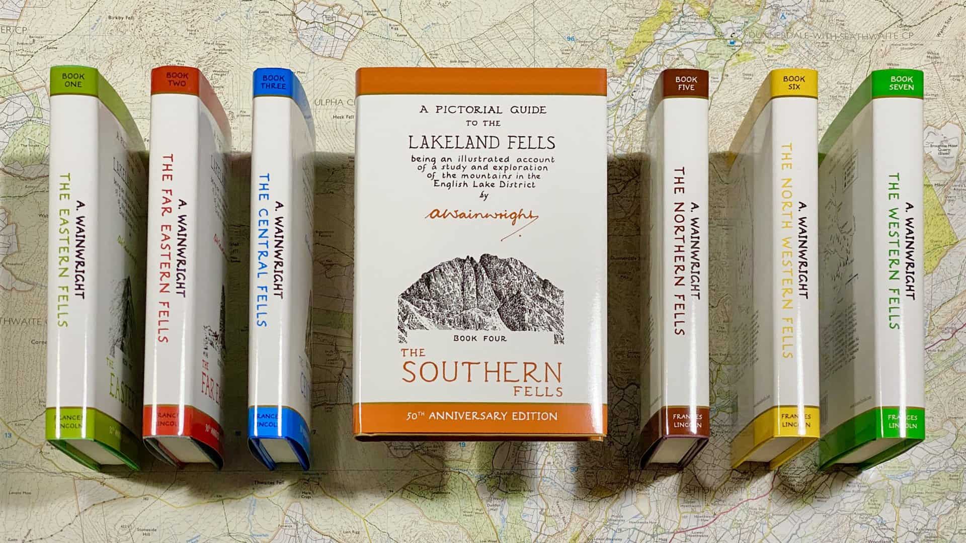
Map of Wainwrights: The Southern Fells
My map of 30 Southern Fells is enclosed by Borrowdale, Langstrath, Stake Pass, Great Langdale, Yewdale, Walna Scar Pass, Birker Fell, Irton Fell, Wast Water, Wasdale, and Sty Head.
BOOK FOUR is dedicated to the hardiest of all fellwalkers THE SHEEP OF LAKELAND the truest lovers of the mountains, their natural homes and providers of their food and shelter.
Alfred Wainwright
ADVERTISEMENT
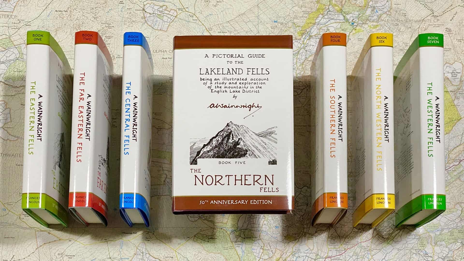
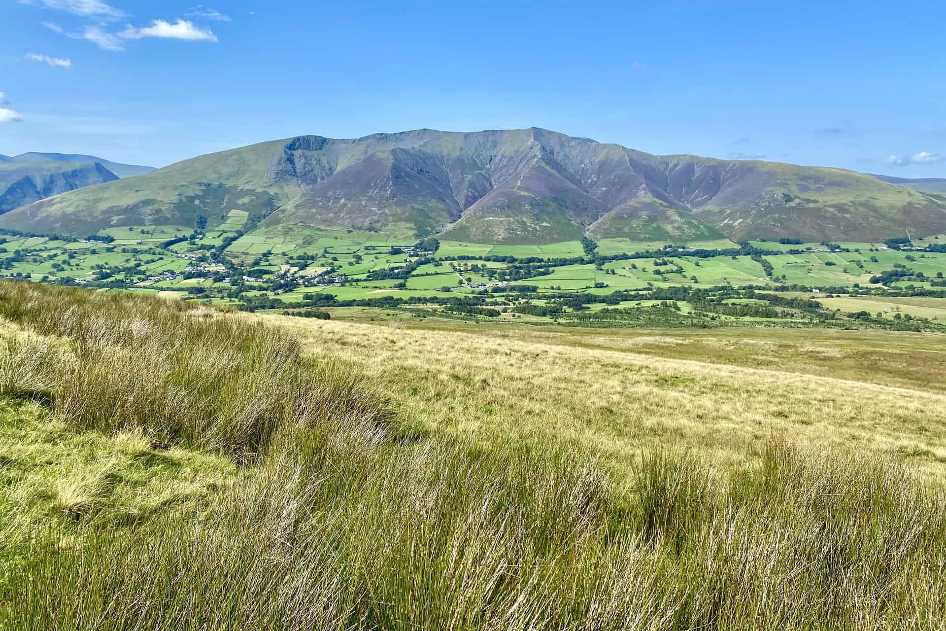
Map of Wainwrights: The Northern Fells
Capturing 24 Northern Fells, the region is bounded by Caldbeck, the River Caldew, Mosedale, the River Glenderamackin, the River Greta, the River Derwent, and Bassenthwaite Lake.
BOOK FIVE is dedicated to those who travel alone THE SOLITARY WANDERERS ON THE FELLS who find contentment in the companionship of the mountains and of the creatures of the mountains.
Alfred Wainwright
ADVERTISEMENT
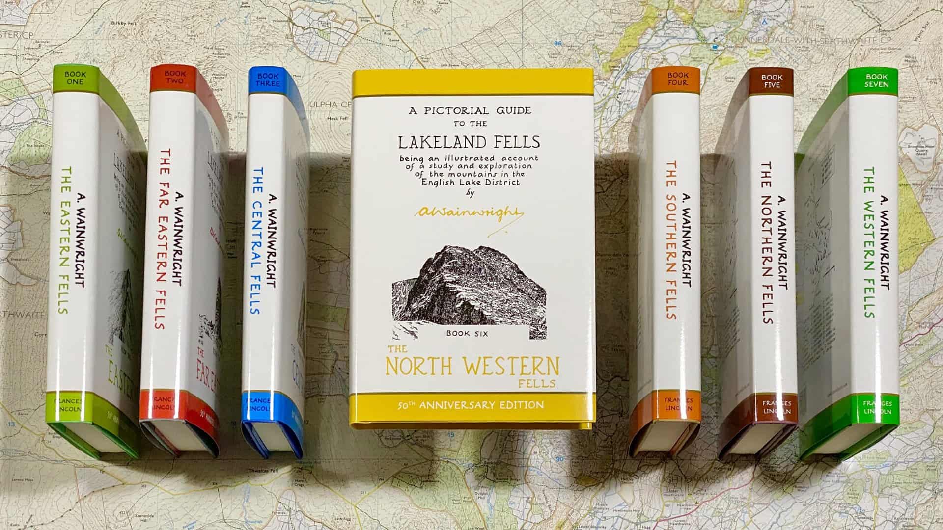
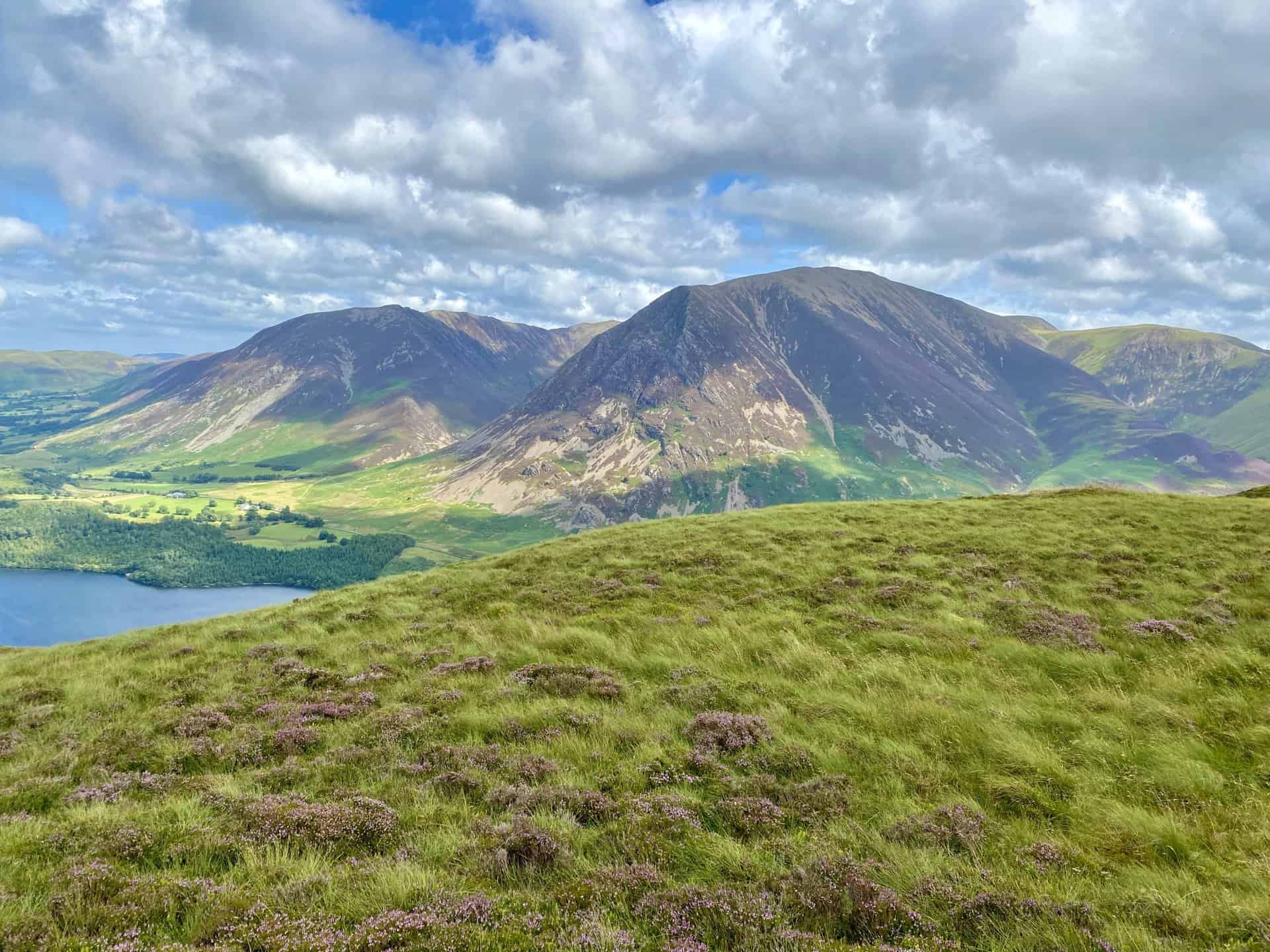
Map of Wainwrights: The North Western Fells
This map of Wainwrights introduces 29 North Western Fells, enveloped by the Vale of Embleton, Bassenthwaite Lake, the River Derwent, Derwent Water, Honister Pass, Buttermere, Crummock Water, and the River Cocker.
BOOK SIX is dedicated to those unlovely twins MY RIGHT LEG and MY LEFT LEG staunch supporters that have carried me about for over half a century, endured much without complaint and never once let me down.
Alfred Wainwright
ADVERTISEMENT
Map of Wainwrights: The Western Fells
The final map of Wainwrights includes 33 Western Fells, marked by boundaries including Crummock Water, Buttermere, Sty Head, Wast Water, and Ennerdale Water.
BOOK SEVEN is dedicated to ALL WHO HAVE HELPED sometimes with advice, sometimes with information, sometimes with no more than a friendly nod or smile. They are too many to be named, and indeed some are unknown, anonymous fellow-walkers who pass the time of day and are gone. I must, however, thank my wife, for not standing in my way, and a few special friends who would not ask for identification here, for making the way easier for me to travel. It has been a long and lonely way, but I have trodden it increasingly aware of the goodwill and encouragement of many kind people, most of whom I shall never meet. And now, after thirteen years, I have come to the end of it and my final task, a difficult one, is to find words adequate to express my appreciation to everybody who has helped. The least I can do, and the most I can do, is to acknowledge my debt by this dedication.
Alfred Wainwright
Related Post: List of Wainwrights
A complete list of Wainwrights in the Pictorial Guide to the Lakeland Fells
ADVERTISEMENT