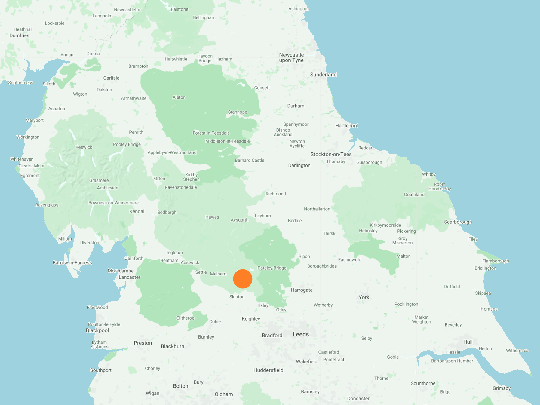
North from Grassington along the Dales Way for about 2½ miles, then south-west into the village of Conistone. Across the River Wharfe to Kilnsey and south-west along Mastiles Lane to Howgill. South over moorland then east towards Threshfield Quarry followed by a walk around the quarry perimeter. Further south to Skirethorns before heading east via Threshfield and Linton Falls back to Grassington. A 10-mile walk in the Yorkshire Dales.
Recommended Ordnance Survey Map
The best map to use on this walk is the Ordnance Survey map of the Yorkshire Dales Southern & Western Area, reference OS Explorer OL2, scale 1:25,000. It clearly displays footpaths, rights of way, open access land and vegetation on the ground, making it ideal for walking, running and hiking. The map can be purchased from Amazon in either a standard, paper version or a weatherproof, laminated version, as shown below.
Standard Version
The area known as Conistone Dib, about half a mile north-east of Conistone.
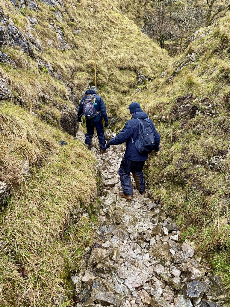
Heading down through the gorge towards Conistone.
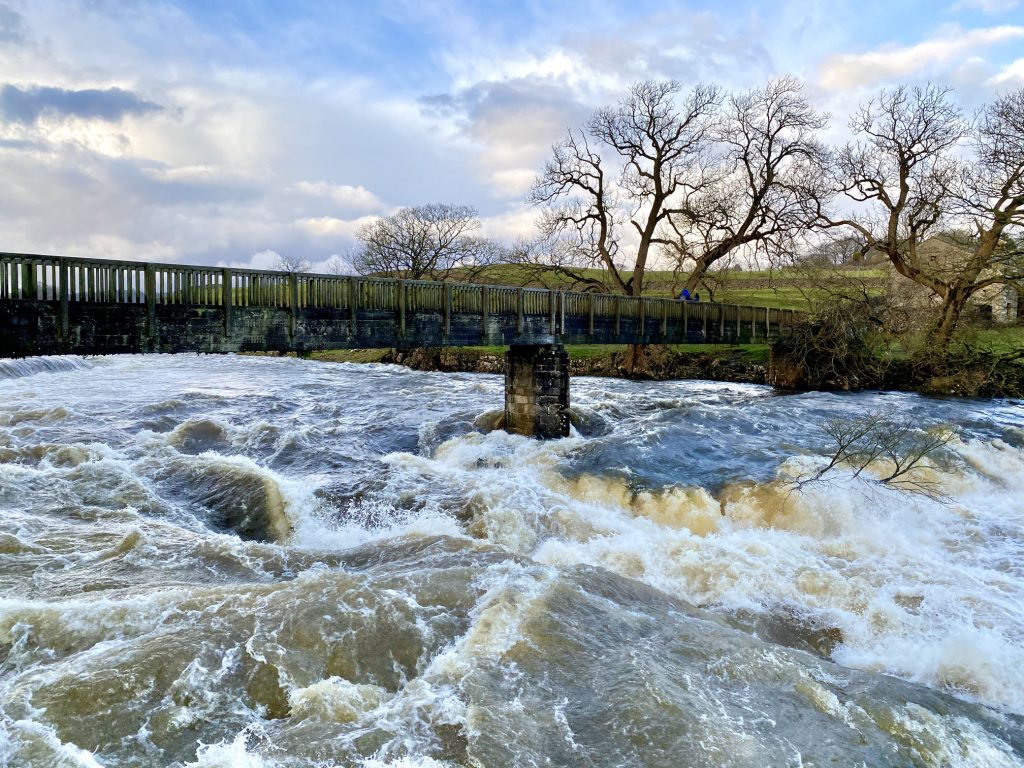
A very full River Wharfe as seen from the road bridge between Conistone and Kilnsley.
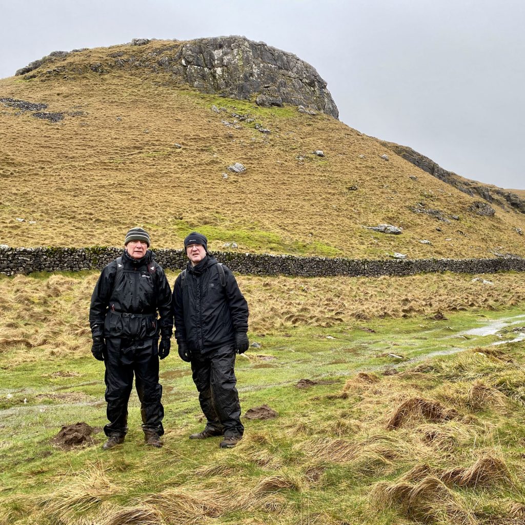
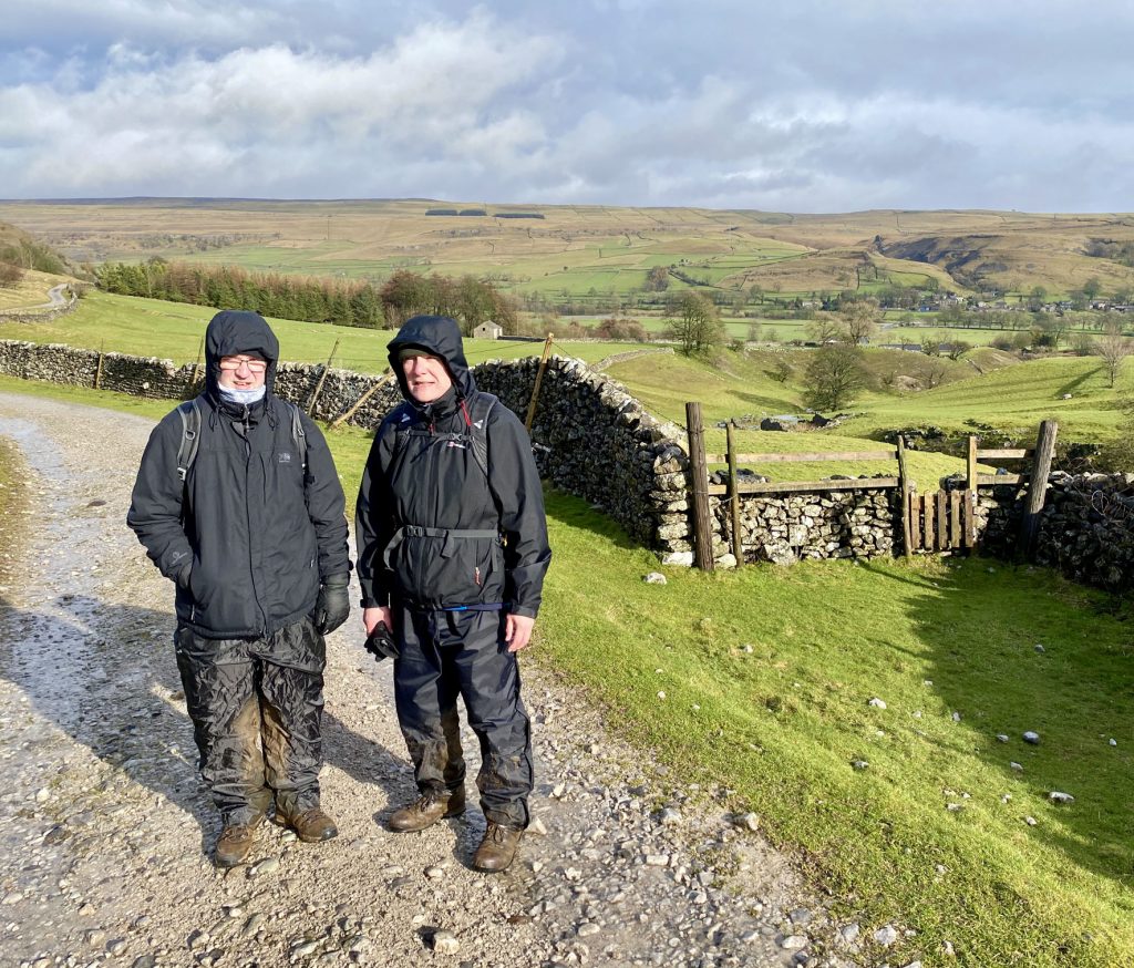
Mike and Chris on Mastiles Lane, with Conistone in the background on the right.
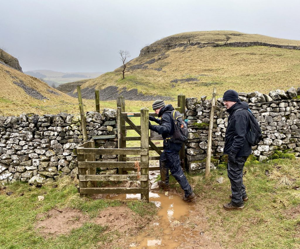
The route across Malham Moor towards Threshfield Quarry.
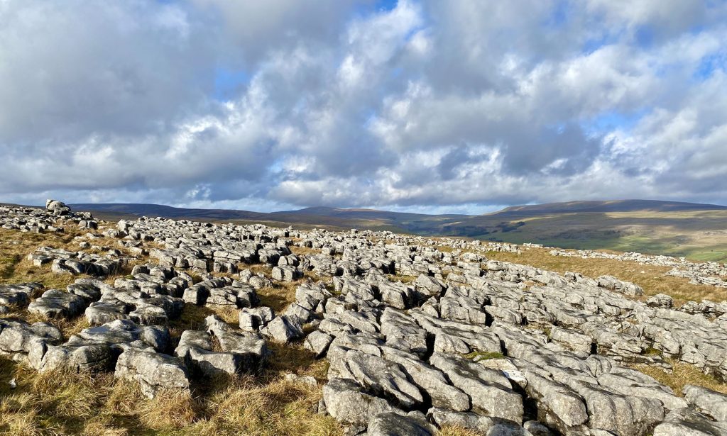
The view north over limestone pavement towards Buckden Pike.
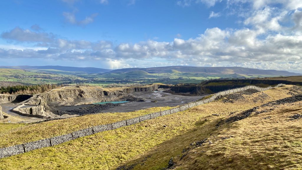
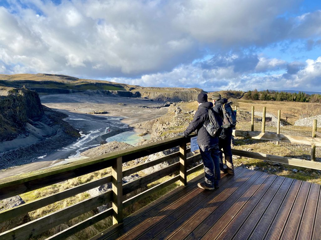
The view south-east into Threshfield Quarry, backed by the hills of Barden Moor.
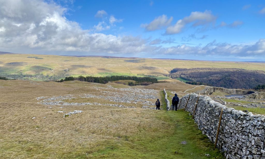
Following the wall which leads to the northern entrance of Threshfield Quarry.

Threshfield Quarry, a disused limestone quarry which closed in the year 2000. The owners, Tarmac, undertook a programme of site clearance and restoration ground works to prepare the site for long term access and development.

The quarry was a major employer for almost a century, and a rare industrial presence in this high-quality rural landscape. It is now the largest brownfield development site in the Yorkshire Dales National Park, partly designated for employment use and partly for natural regeneration.
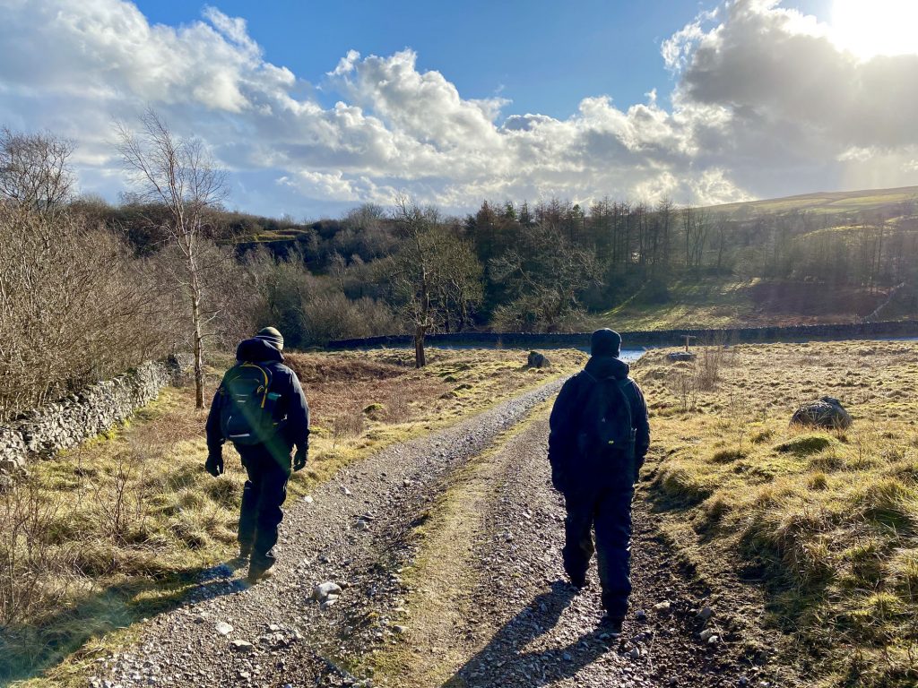
Heading south-east out of Threshfield Quarry towards Skirethorns.
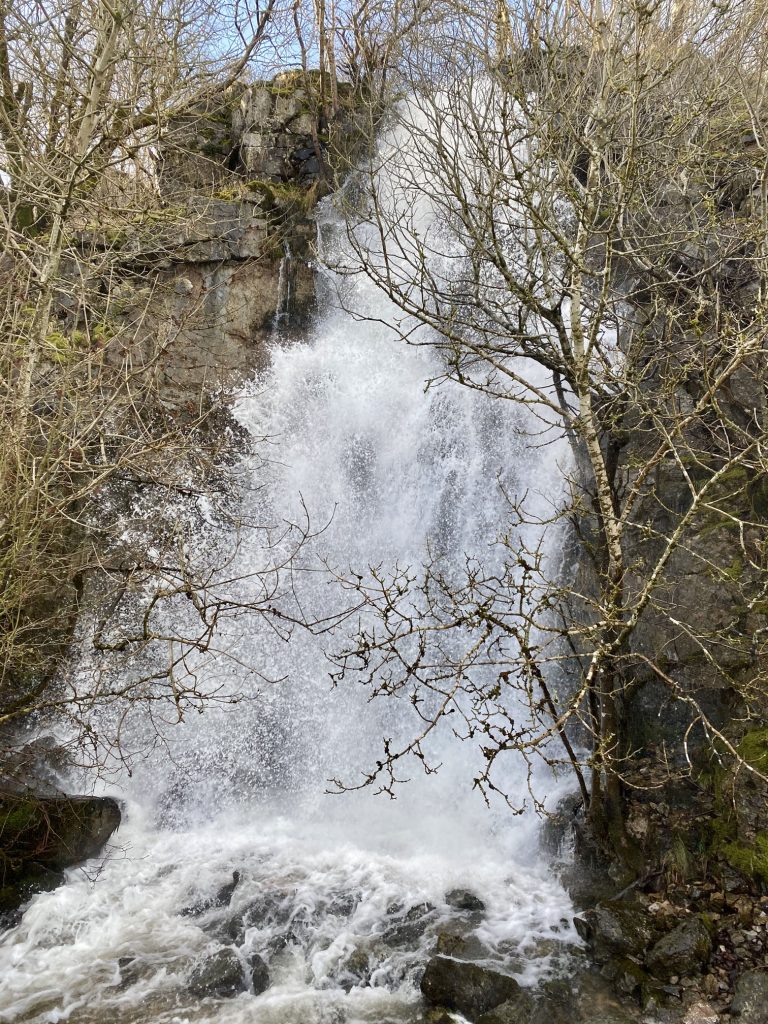
Tyne Beck seasonal waterfall.
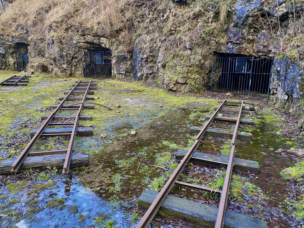
Threshfield Quarry lime kilns.
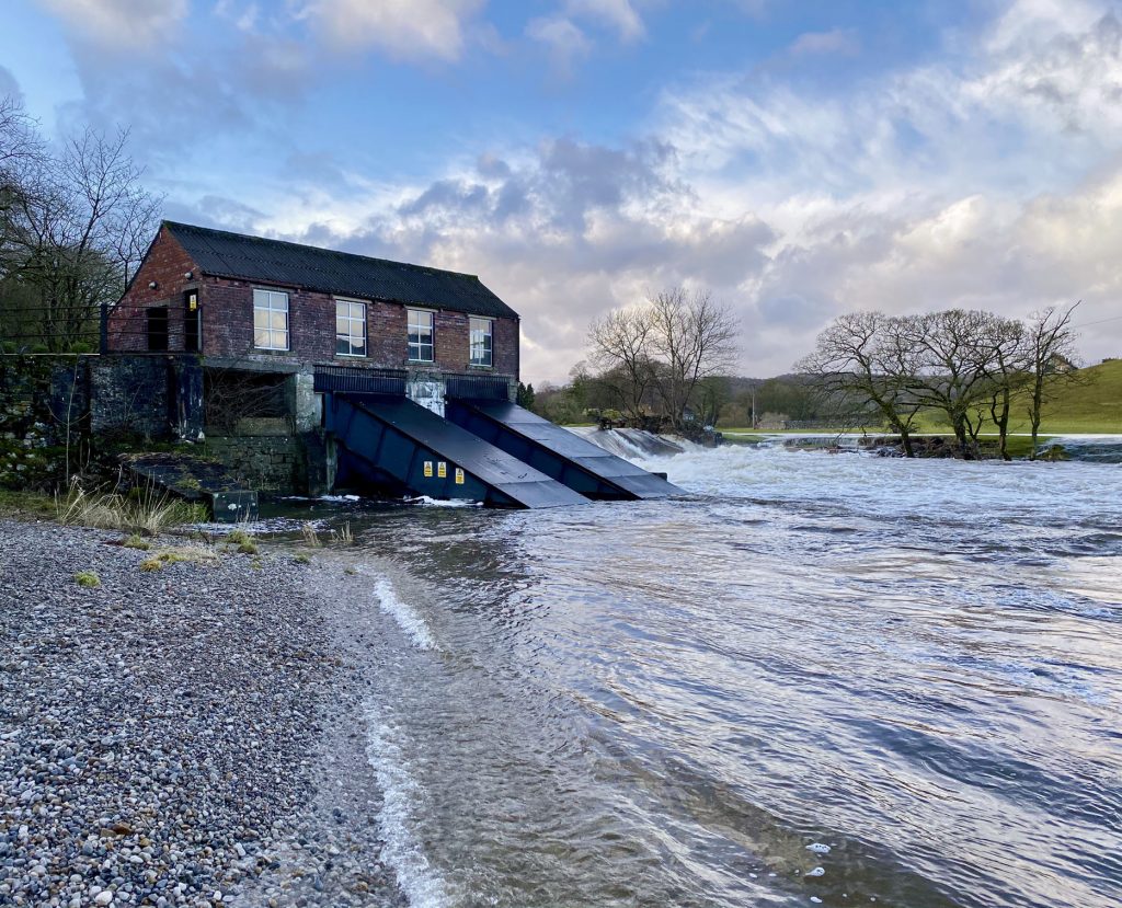
Linton Falls Hydro, a hydroelectric generating power station on the River Wharfe at Linton Falls. The power station is located on the same site as a hydroelectric scheme that was first opened in 1909, but had closed by 1948. The new scheme, which opened in March 2012, uses the original building which is now a scheduled monument. The plant uses two screw turbines to generate the electricity.
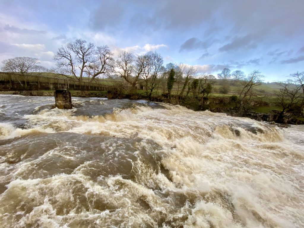
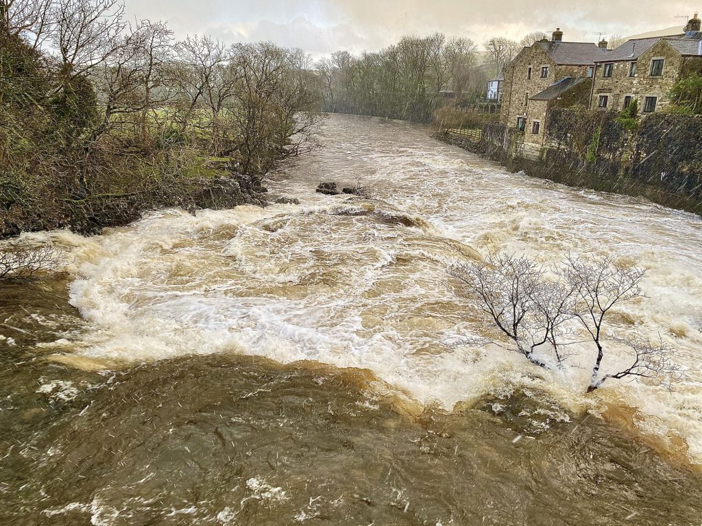
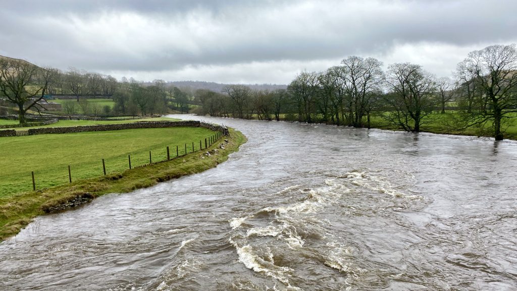
The River Wharfe at Linton Falls between Grassington and Linton. On this occasion there had been heavy and prolonged rainfall and the river was particularly full and fast-flowing.