From the small car park by the side of the A684 it’s north-east to Carperby, then generally north on paths and tracks across Carperby Moor. East above Bob Scar and Rowantree Scar to meet a bridleway at Black Hill and south to the village of Castle Bolton. South-west on various footpaths to Aysgarth Falls via High Thoresby and finally back to the starting point following the course of the River Ure. A 13-mile walk in the Yorkshire Dales.

Recommended Ordnance Survey Map
The best map to use on this walk is the Ordnance Survey map of the Yorkshire Dales Northern & Central Area, reference OS Explorer OL30, scale 1:25,000. It clearly displays footpaths, rights of way, open access land and vegetation on the ground, making it ideal for walking, running and hiking. The map can be purchased from Amazon in either a standard, paper version or a weatherproof, laminated version, as shown below.
Standard Version
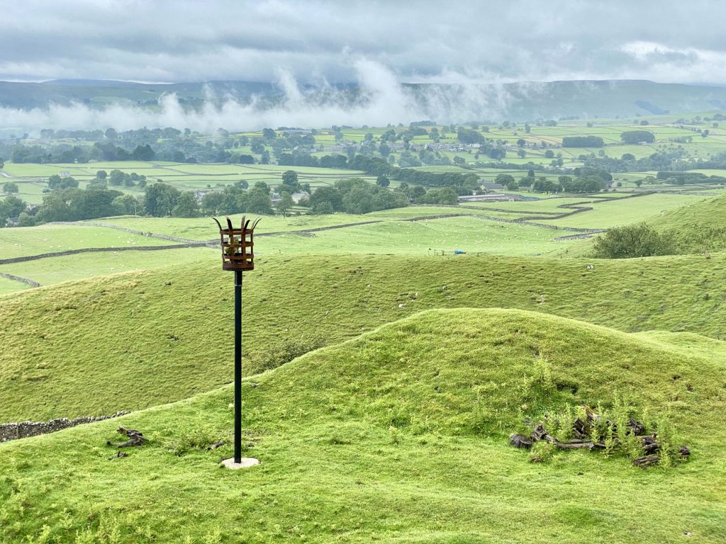
The view of Carperby and Aysgarth in the misty Wensleydale valley.
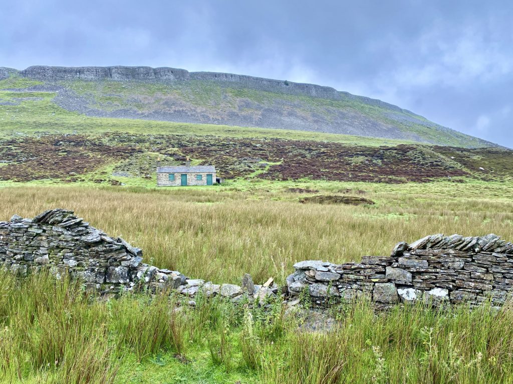
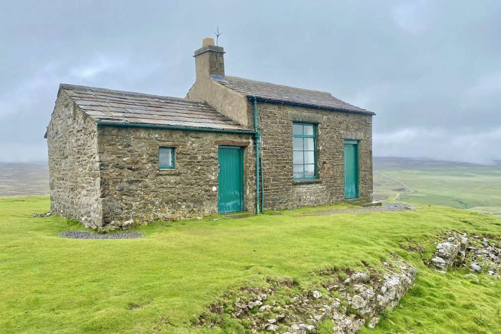
Shooting lodge below the rocky crags of Great Wegber.
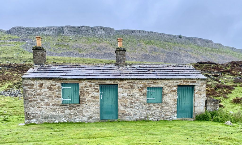
Greenhaw Hut on Carperby Moor.
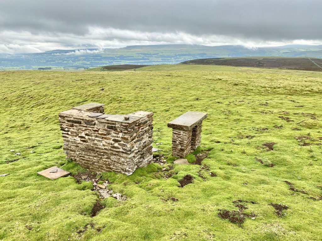
Stone barbecue oven and serving table at Greenhaw Hut on Carperby Moor.
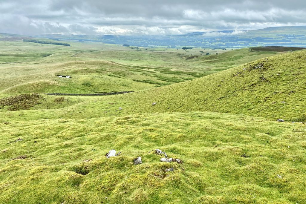
Wensleydale and the rolling hills of Carperby Moor.
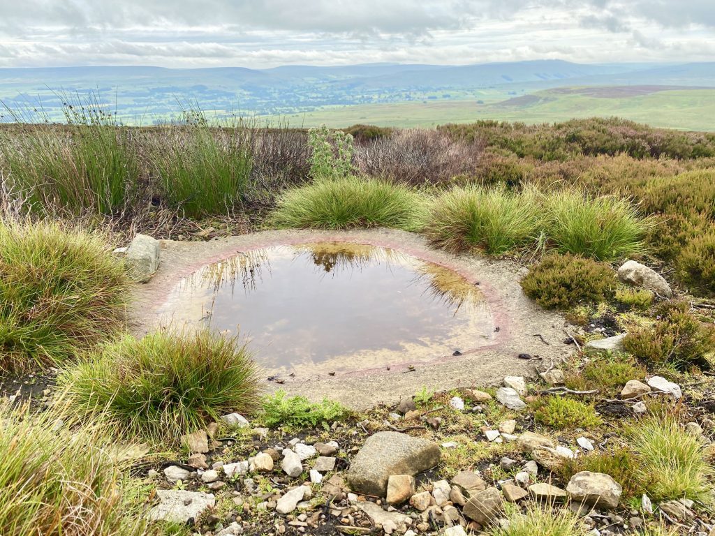
I’m not sure why these shallow concrete pools are built on the moors. Could they be bathing pools for the grouse or other wildlife?
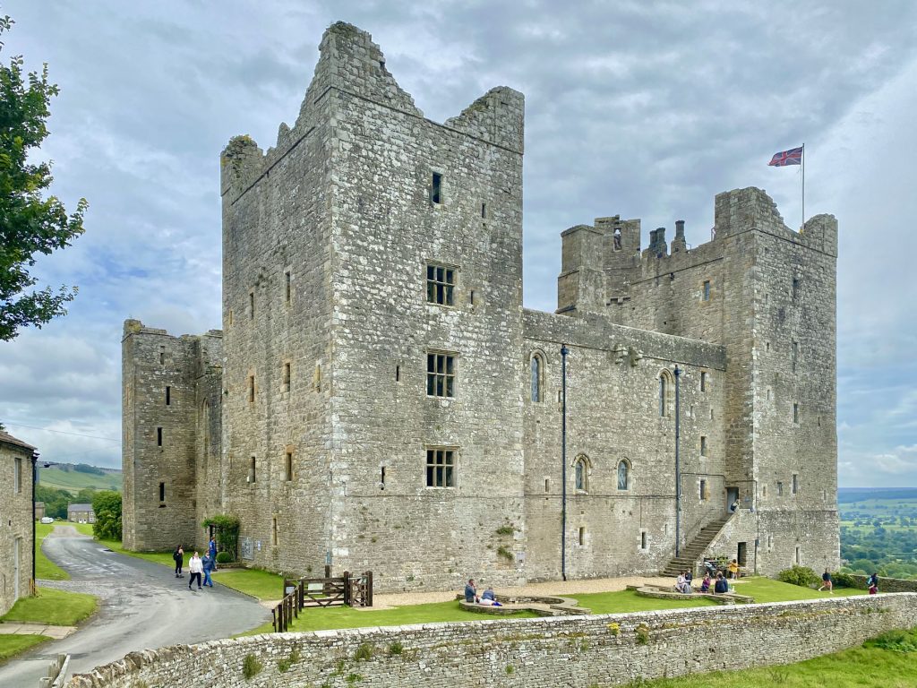
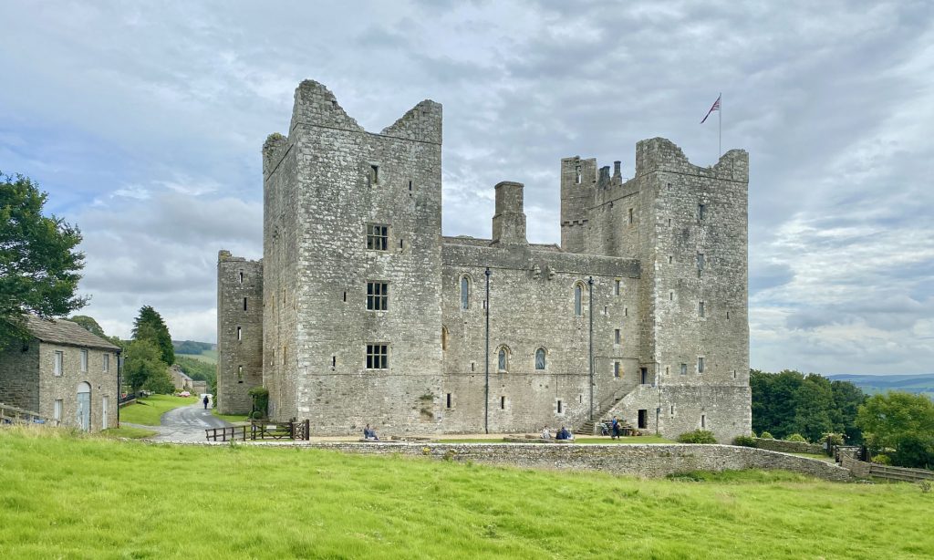
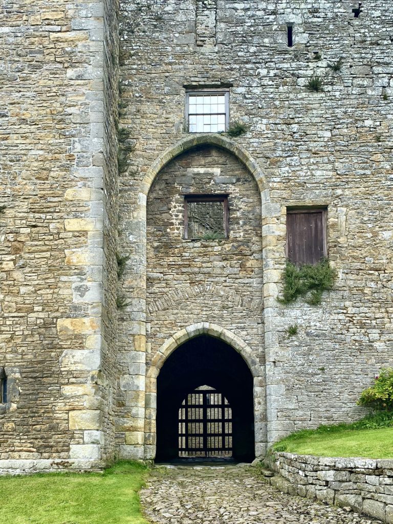
Bolton Castle in the village of Castle Bolton. The castle is a spectacular medieval fortress with a fascinating history including the Pilgrimage of Grace, Mary Queen of Scots’ imprisonment and a seige during the Civil War.
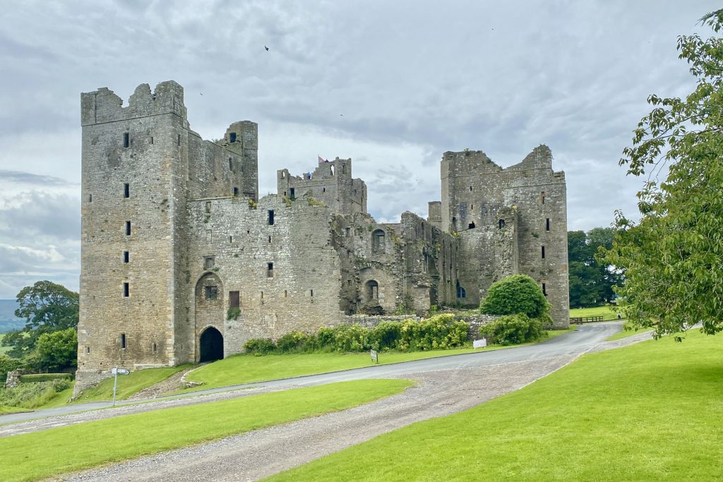
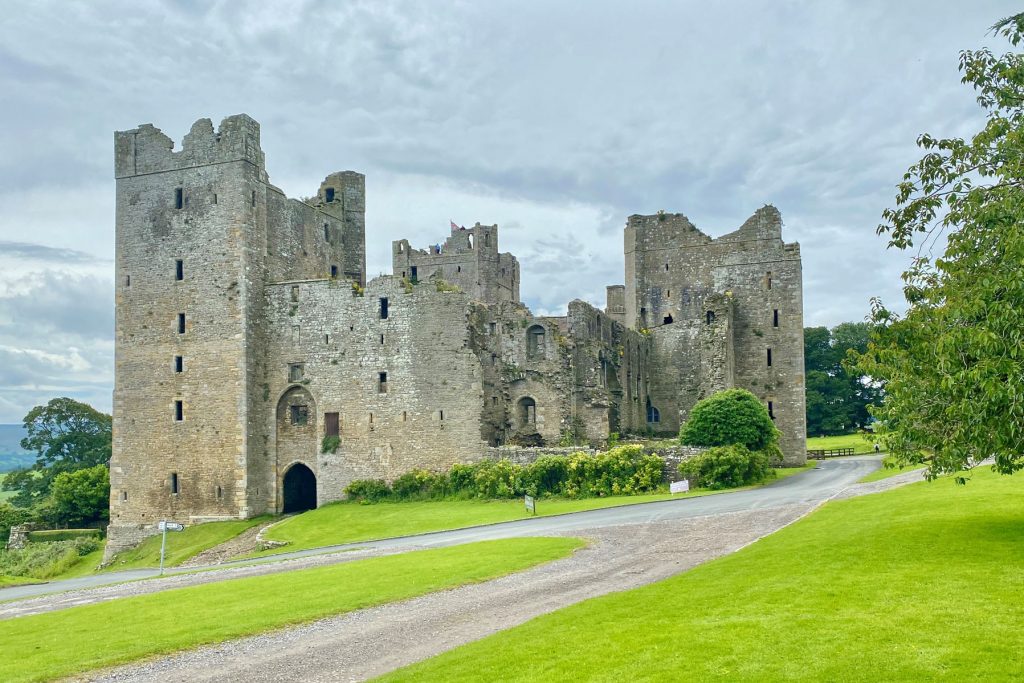
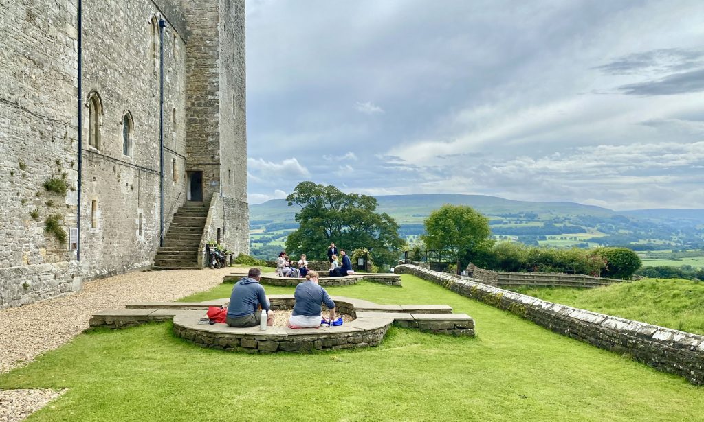
Despite being slighted by Cromwell’s men during the Civil War this six hundred year old castle is preserved in outstanding condition with one third of the rooms and three quarters of the walls intact and the remainder of the castle almost completely accessible.
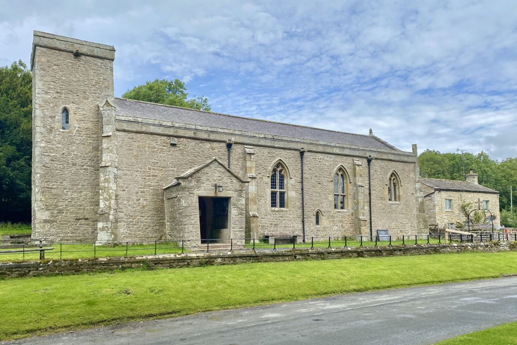
St Oswald’s Church, Castle Bolton.
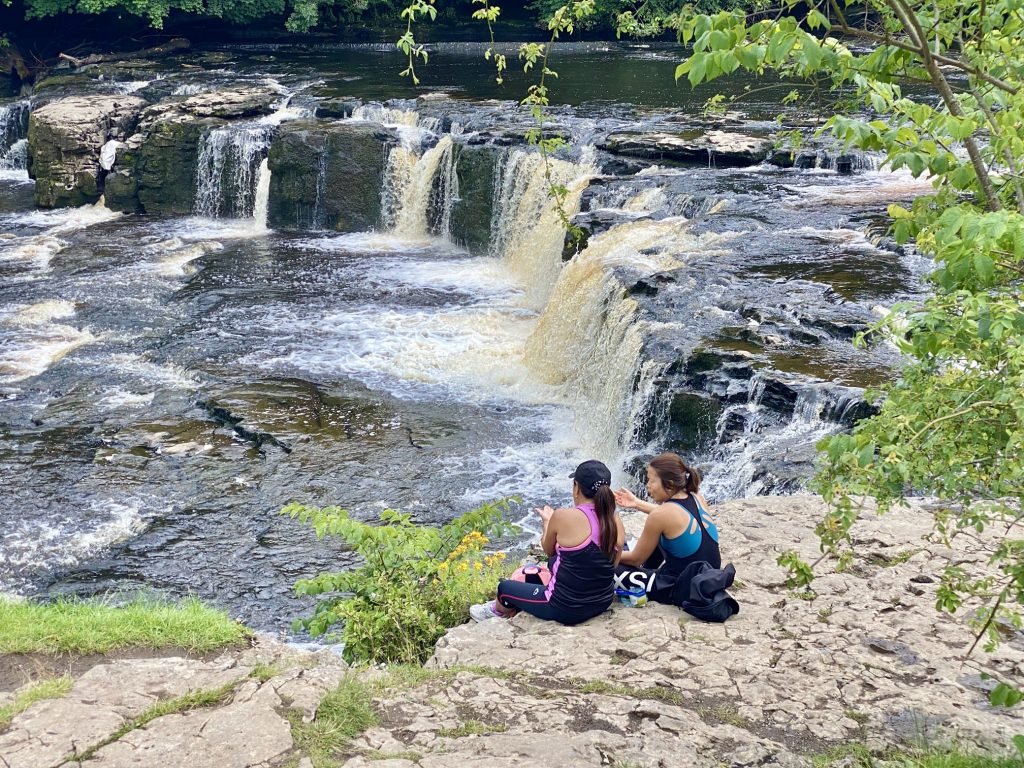
Middle Force, Aysgarth Falls.

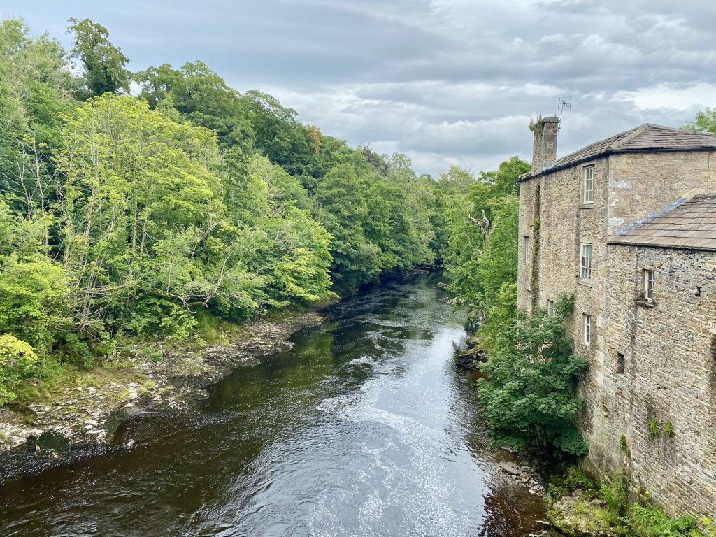
Yore Mill by the side of the River Ure at Aysgarth Falls (High Force).
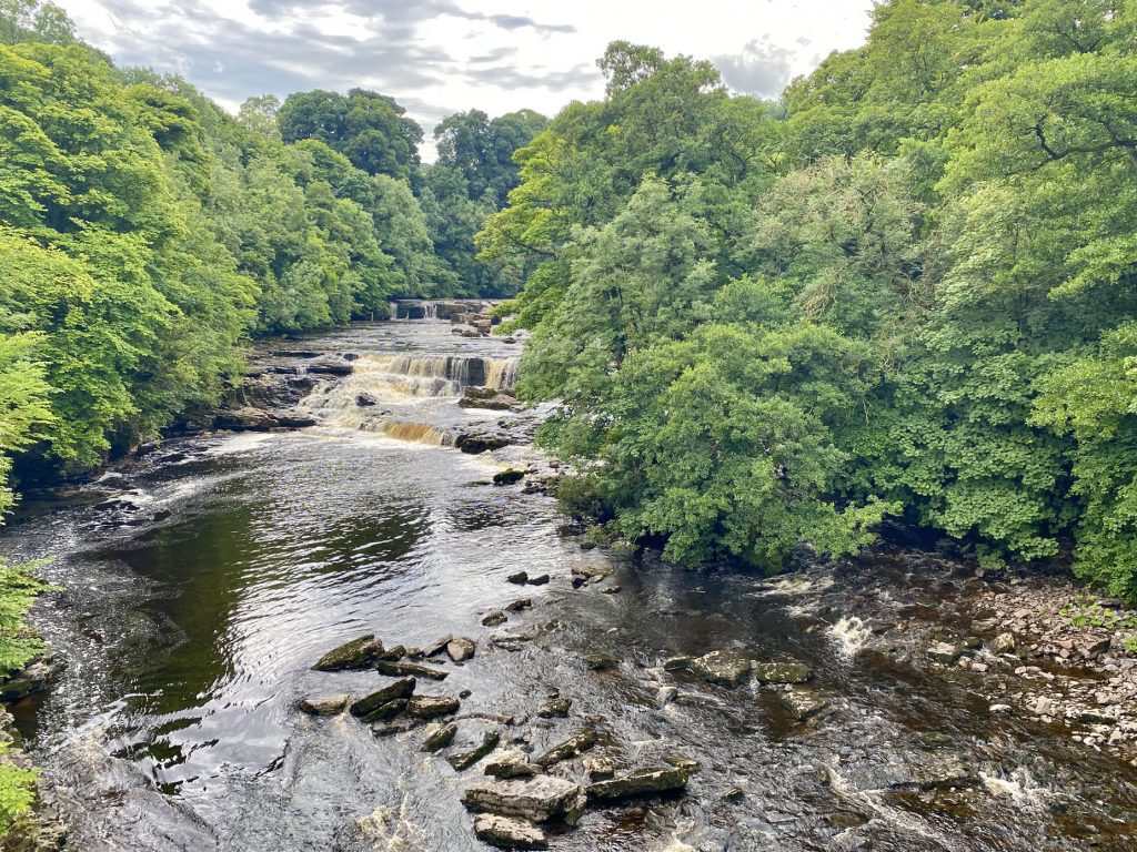
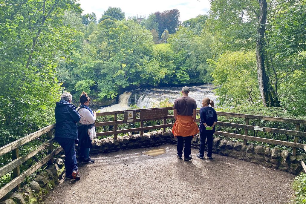
High Force, Aysgarth Falls.