North from Sinnington to Appleton-le-Moors, then east via Hamley Lane to the River Seven. Further north on minor roads, tracks and paths to Spiers House in Cropton Forest and east to meet Sutherland Road. South through the forest and on to Cropton passing Sycamore Farm, returning to Sinnington by way of Bull Ing Lane and Wiley Flat Lane. An 11-mile walk in Northern England.
Recommended Ordnance Survey Map
The best map to use on this walk is the Ordnance Survey map of the North York Moors Eastern Area, reference OS Explorer OL27, scale 1:25,000. It clearly displays footpaths, rights of way, open access land and vegetation on the ground, making it ideal for walking, running and hiking. The map can be purchased from Amazon in either a standard, paper version or a weatherproof, laminated version, as shown below.
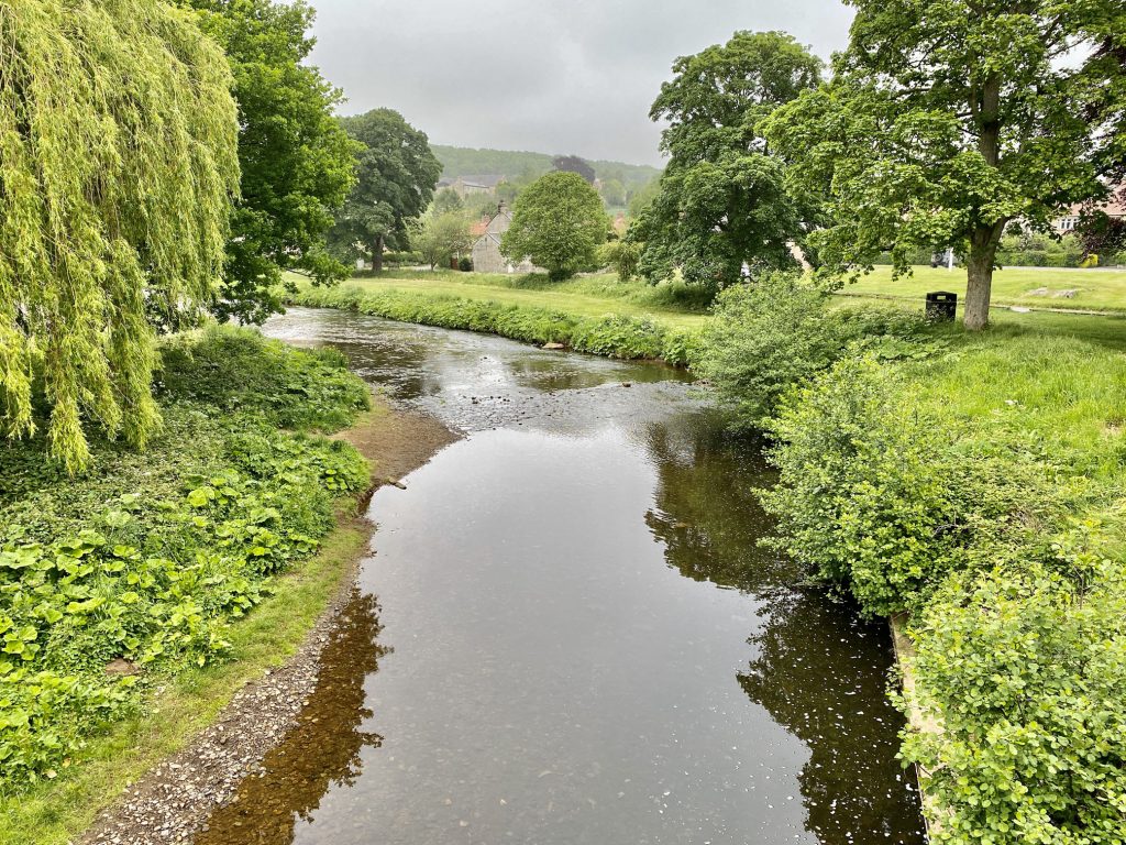
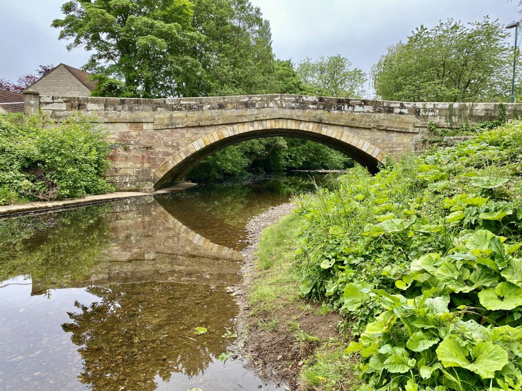
The River Seven in Sinnington.
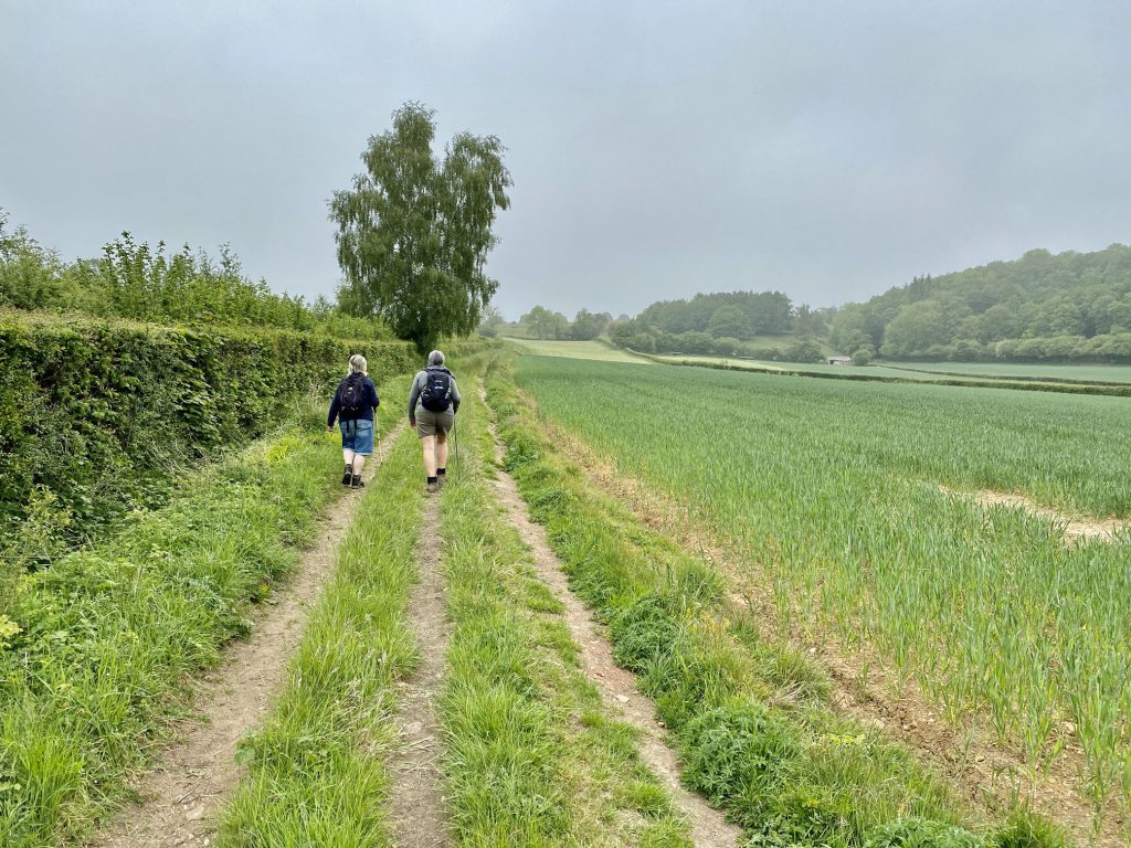
Heading north to Appleton-le-Moors.
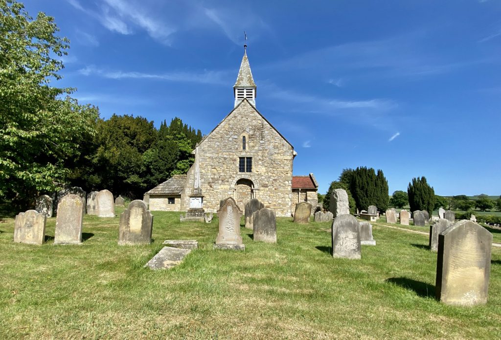
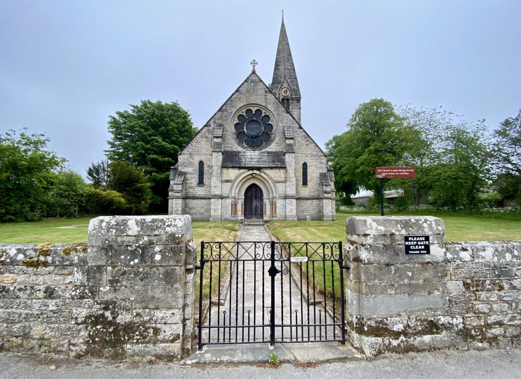
Christ Church, Appleton-le-Moors.
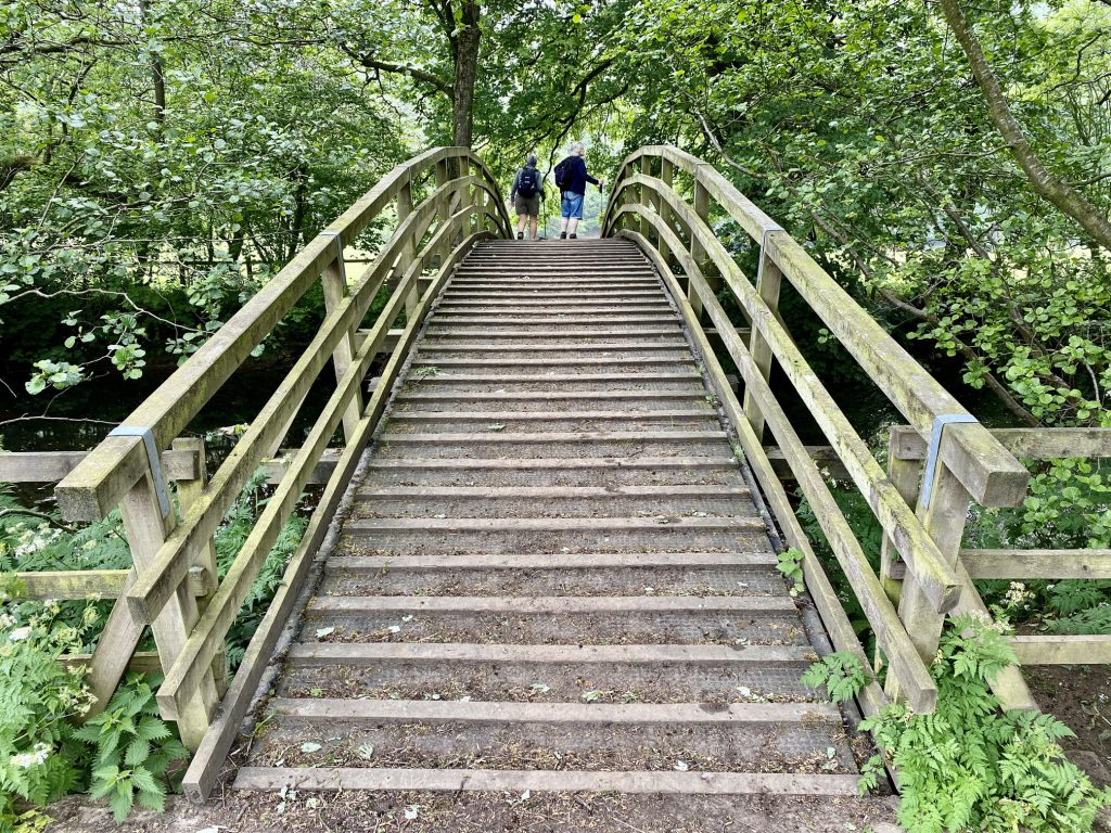
Wooden footbridge over the River Seven near Appleton Mill Farm.
Spiers House, Cropton Forest.
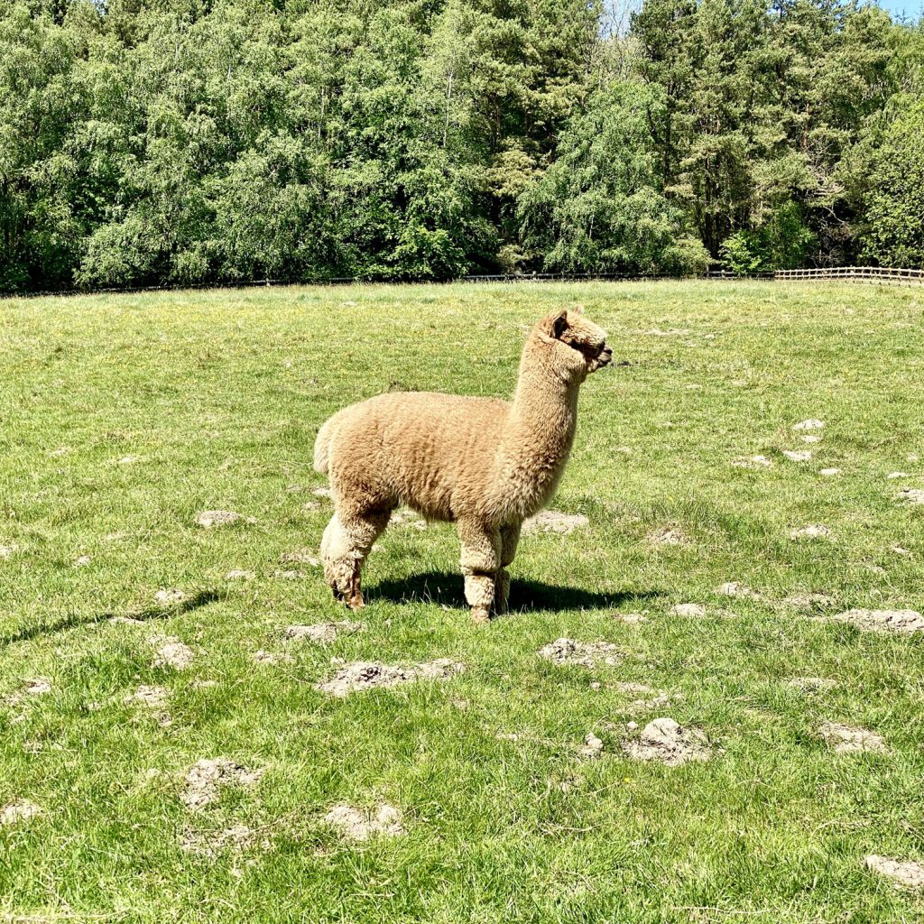
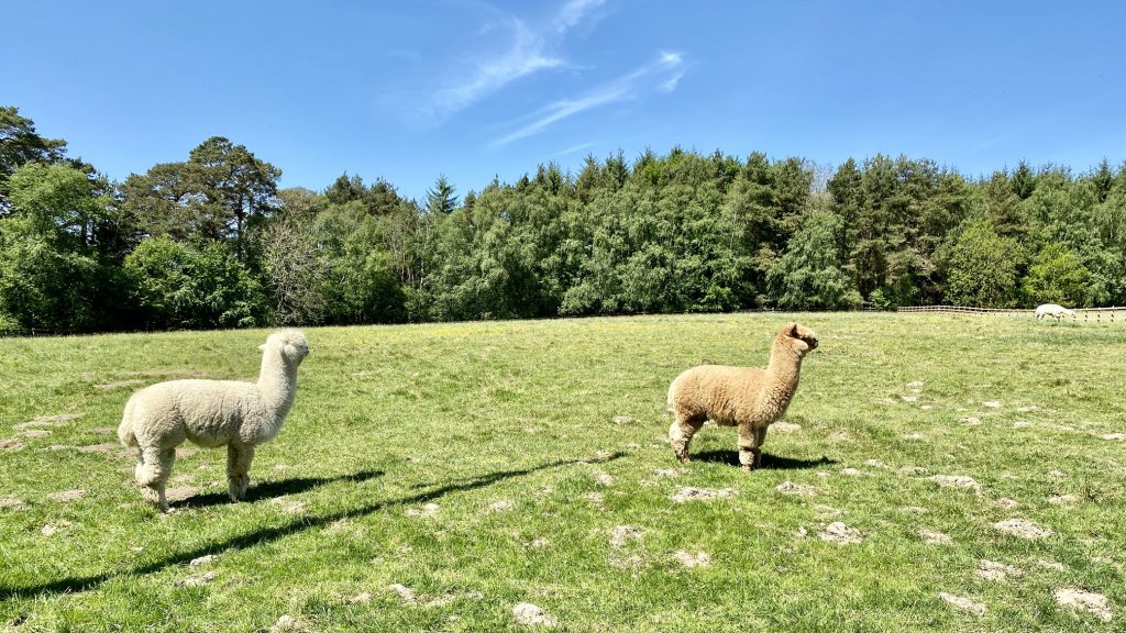
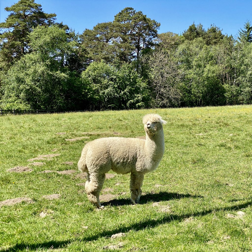
Alpacas on farmland just off Sutherland Road, Cropton Forest.


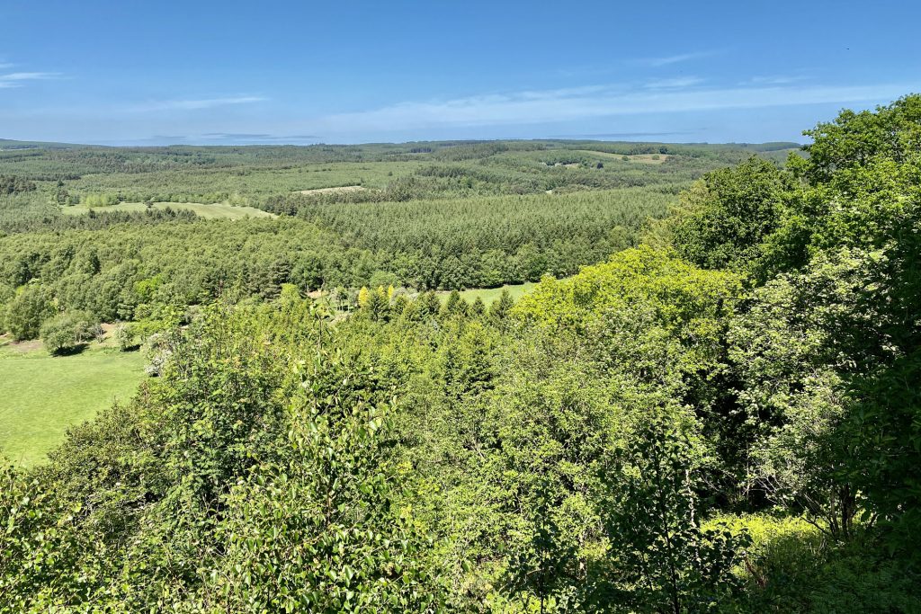
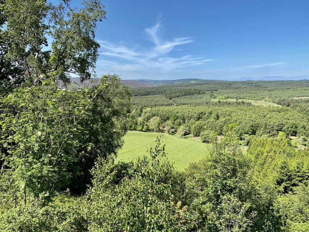
The view of Cropton Forest from Cropton Banks.
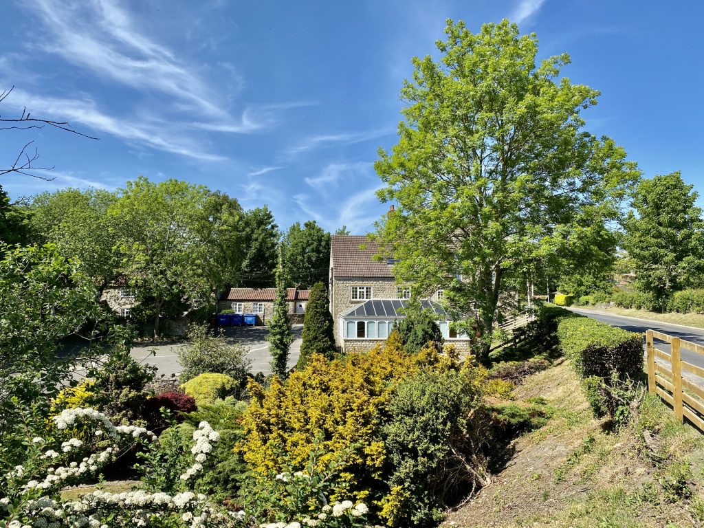
The New Inn beer garden at Cropton.
All Saints Church, Sinnington.