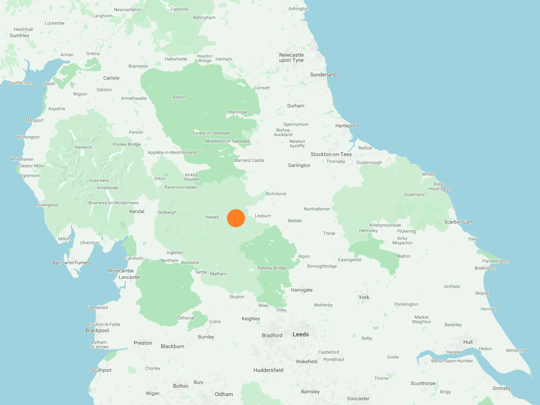
South-west from West Burton across farmland to Newbiggin, then south along Wasset Fell Road (Track) to the top of Wasset Fell. Further south to meet a stony moorland track followed by an easterly descent to Temple Lane. North-east to Bridge End Farm in the Walden Beck valley and continuing along a footpath on the eastern slopes of the valley to meet Whiterow Road. North to Cote Bridge and finally back to the village via Riddings on the east side of Walden Beck. A 9-mile walk in the Yorkshire Dales.
Recommended Ordnance Survey Map
The best map to use on this walk is the Ordnance Survey map of the Yorkshire Dales Northern & Central Area, reference OS Explorer OL30, scale 1:25,000. It clearly displays footpaths, rights of way, open access land and vegetation on the ground, making it ideal for walking, running and hiking. The map can be purchased from Amazon in either a standard, paper version or a weatherproof, laminated version, as shown below.
Standard Version
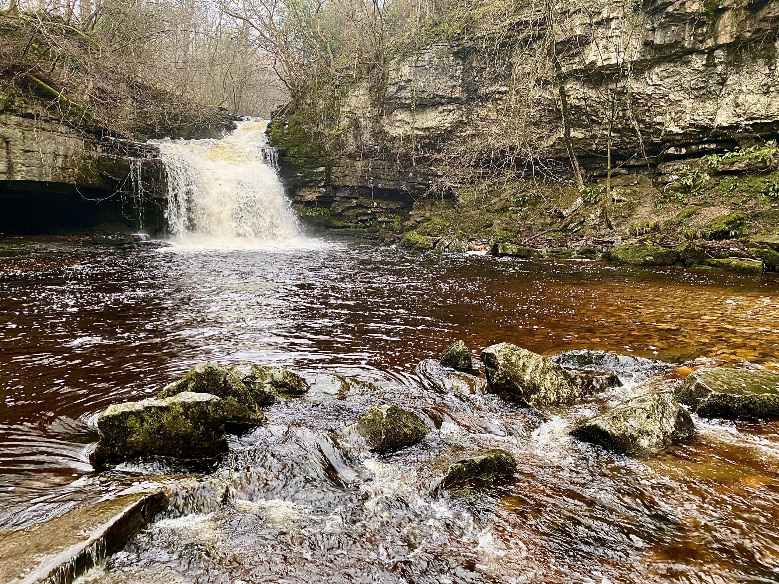
Cauldron Falls, West Burton
Cauldron Falls, with its churning plunge pool and pretty woodland setting, has been a much loved beauty spot ever since William Turner sketched it in the summer of 1816.
There was once a working corn mill nearby, powered by Walden Beck which tumbled over the limestone rocks of the waterfall. The remains of the weir and sluice gate that helped divert water to the mill are still visible. The mill building still stands but the machinery has long gone. It last functioned in the early 20th century having been converted to generate West Burton’s first electricity supply in 1913. It wasn’t very efficient. Autumn leaves often jammed the turbine. In winter, when electricity demand was the highest, the supply allowed only very dim street lighting.

The National Grid arrived in 1948 and the mill fell silent. Today, the area has returned to nature with a lovely show of spring flowers and the chance to see waterside birds like the dipper and grey wagtail which both nest nearby. In the autumn, salmon can be seen jumping the falls below the nearby bridge on the way to spawn in the plunge pool.
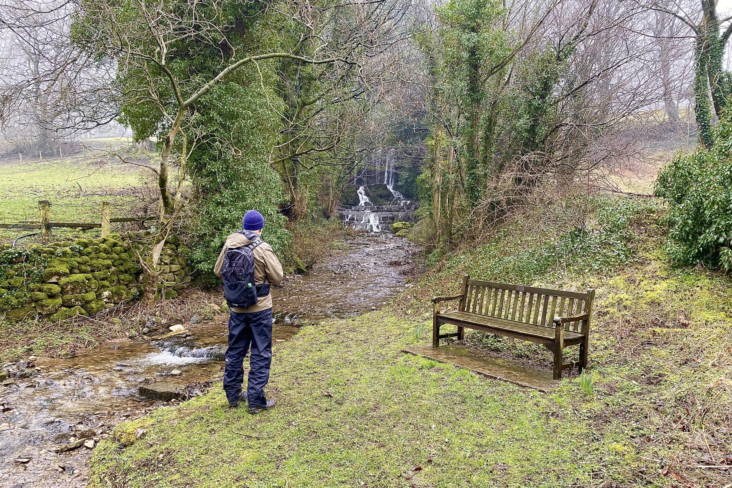
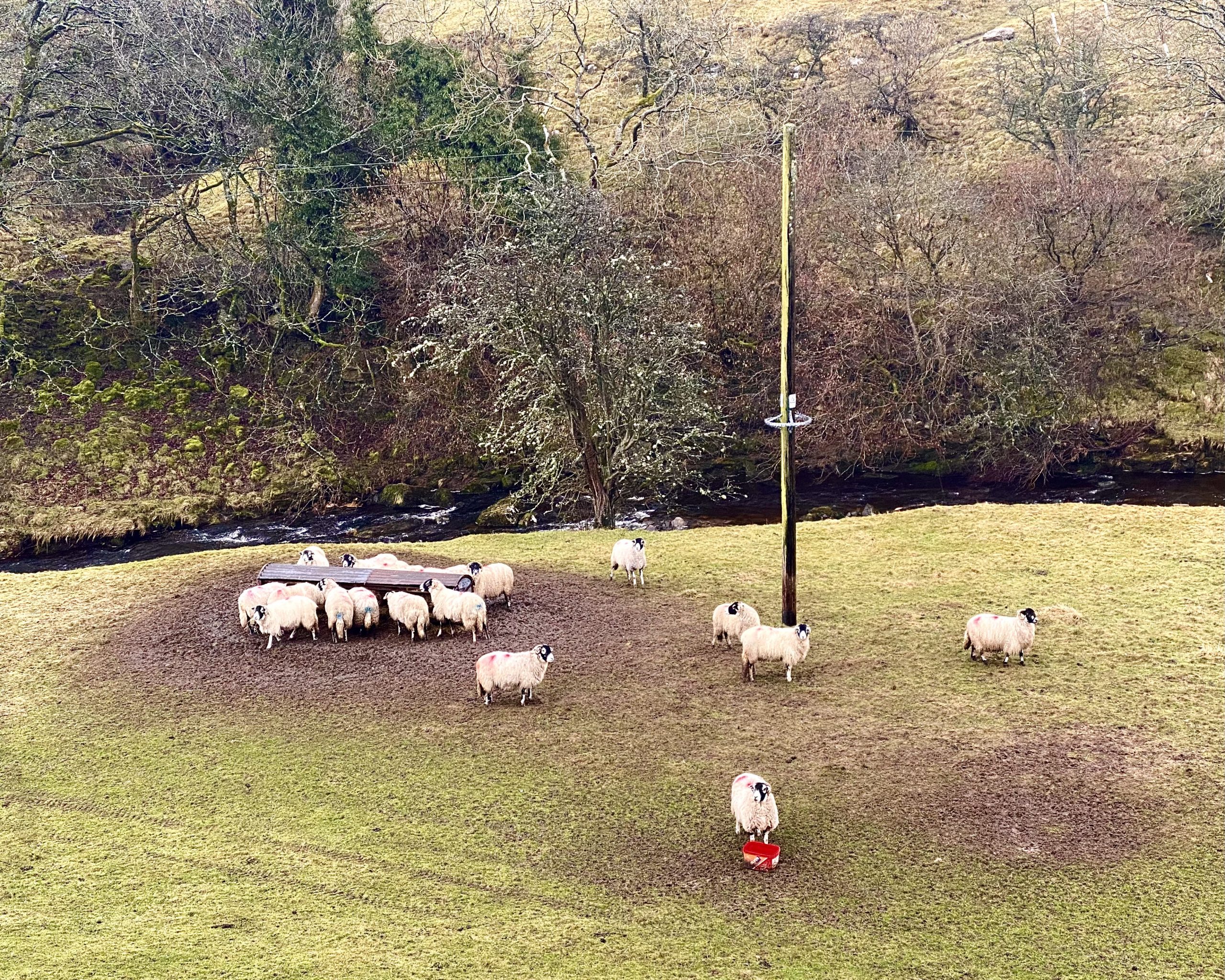
Walden Beck at West Burton. The source of the beck is on Walden Moor high up on the north-eastern slopes of Buckden Pike about seven miles to the south-west. After West Burton it meets Bishopdale Beck which flows into the River Ure a couple of miles north of the village.

Waterfall in Newbiggin created by Mill Beck. The beck’s source is on Newbiggin Pasture on the northern flanks of Wasset Fell.

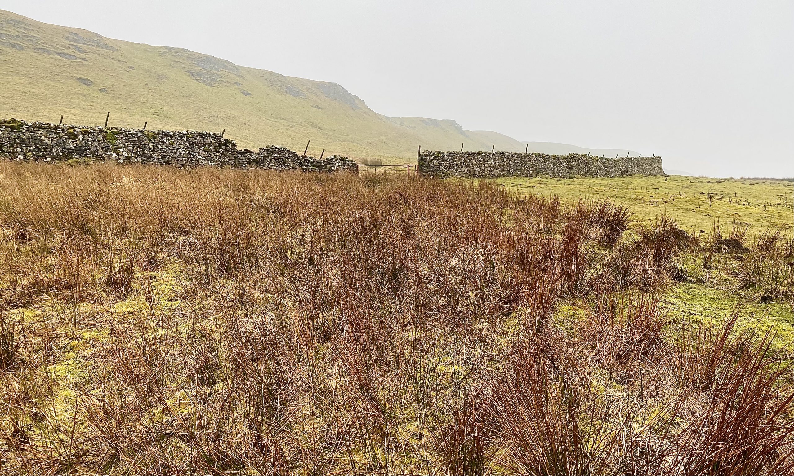
Heading uphill to join Wasset Fell Road (Track).

Kerry Bagshaw, CMG OBE
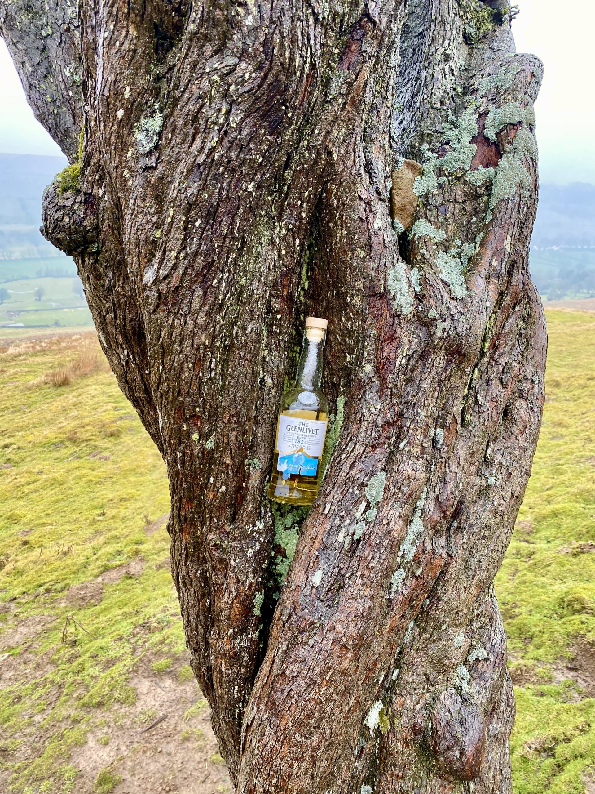
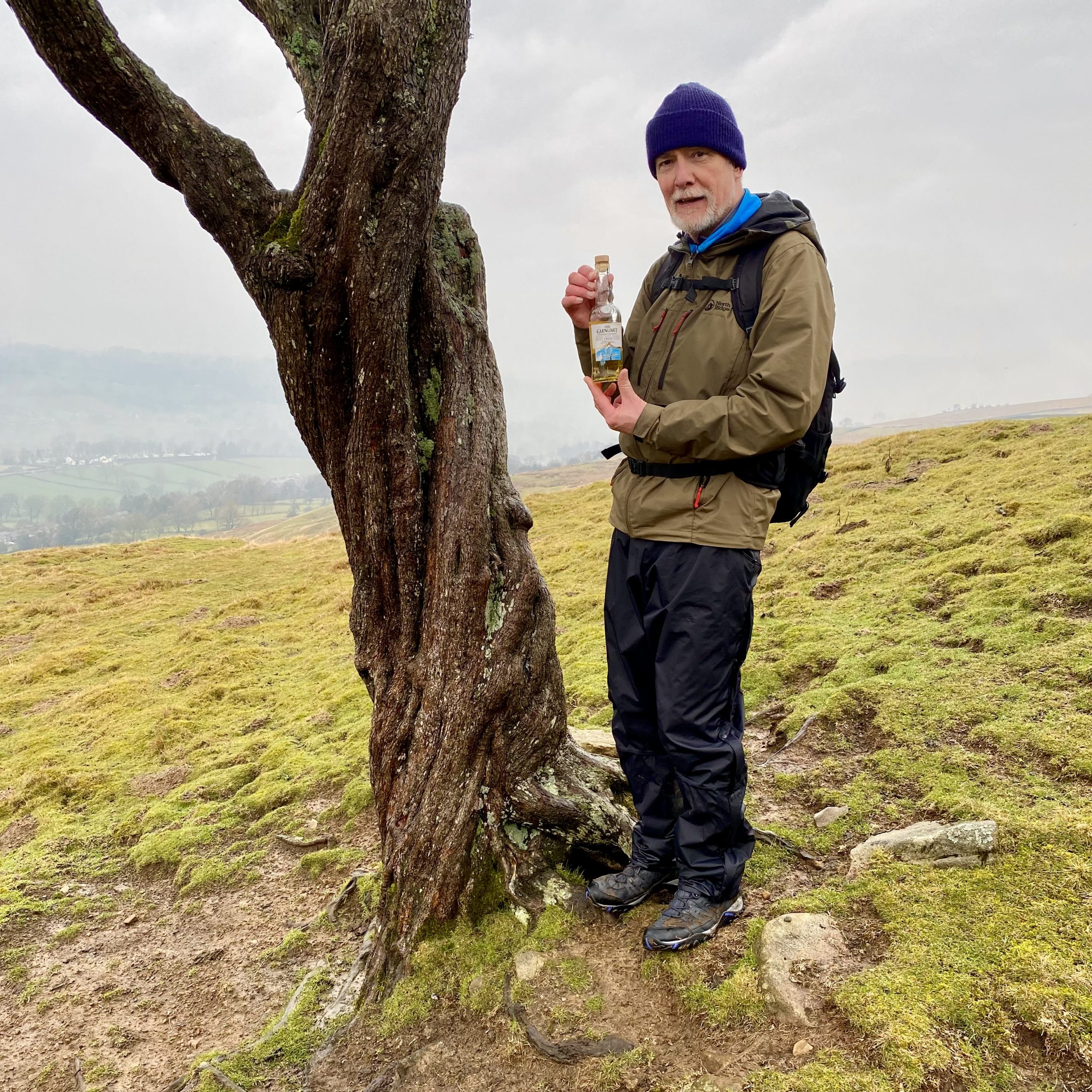
A lonely tree by the side of Wasset Fell Road on Newbiggin Pasture marks the location of the grave of Kerry Bagshaw.
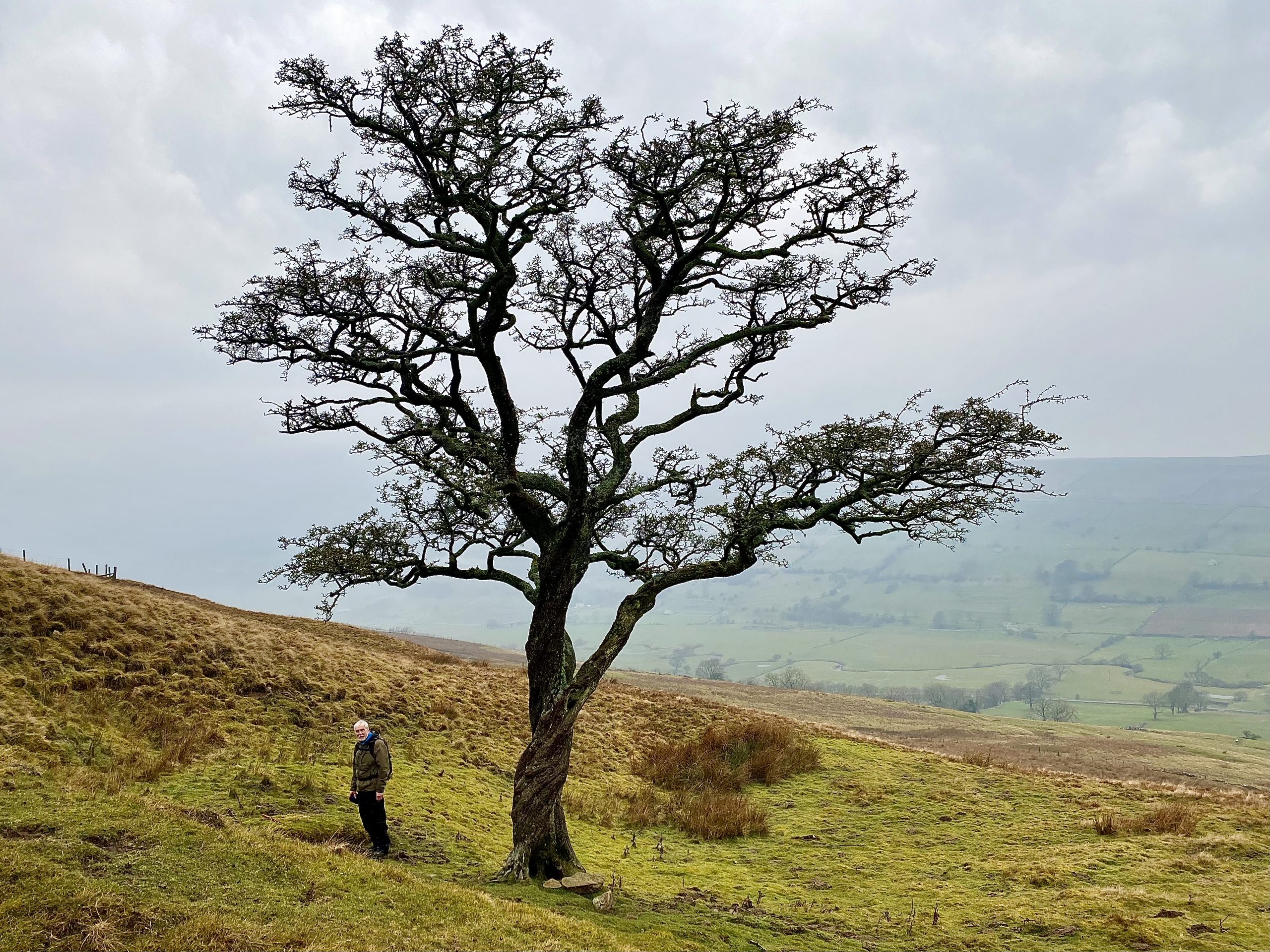
A plaque on the gravestone reads as follows:
In loving and enduring memory of
KERRY BAGSHAW, CMG OBE
a former SBS officer and Diplomat.
Husband, Father, Grandfather and soulmate.
5-10-43 – 11-11-15
“Walker cast a cold eye on life and death
and then walk on”
Those who live on in hearts they
leave behind never die.
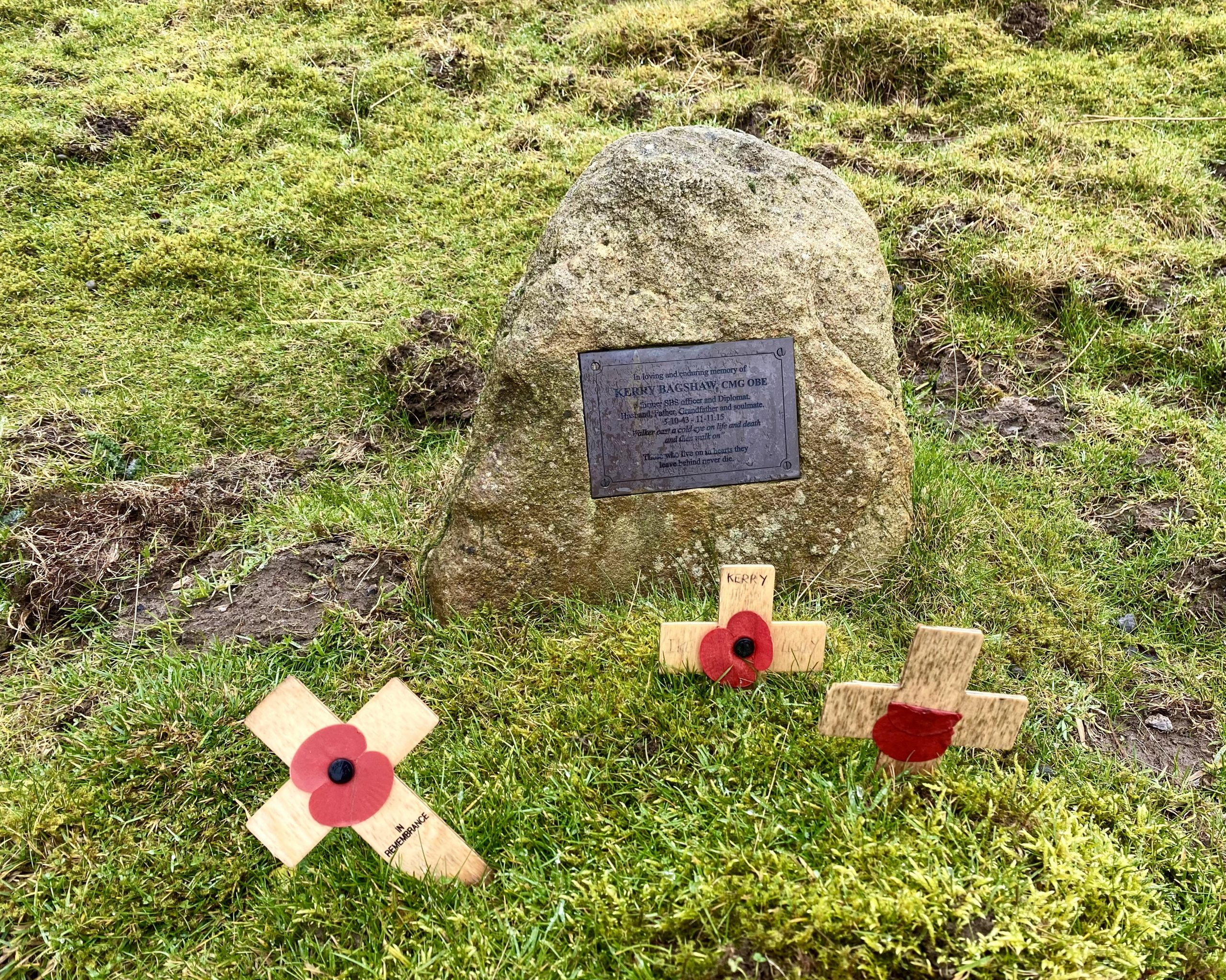
Bagshaw was a British Royal Marine and spy who was head of MI6’s station in Moscow at the time of the collapse of the Soviet Union. In May 1999 his name was among 116 leaked to the publication Executive Intelligence Review and later posted on the internet.
https://en.wikipedia.org/wiki/Kerry_Bagshaw
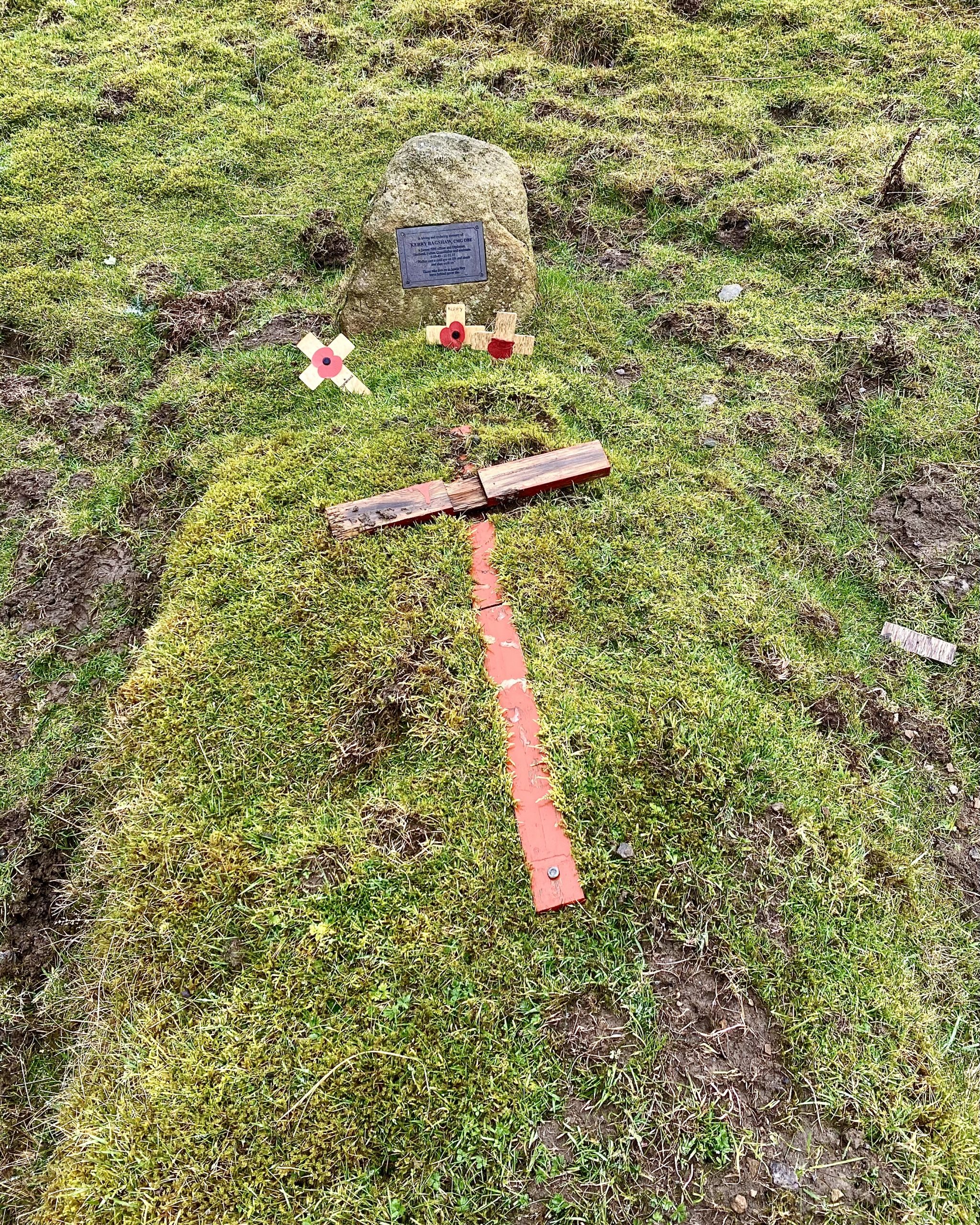
A local farmer told us that Bagshaw’s friends and family made sure a bottle of whiskey was always left wedged in the trunk of the lonely tree and the drink could be sampled by passing walkers.
The route up to Wasset Fell.
Floutgate Scar, Wasset Fell.

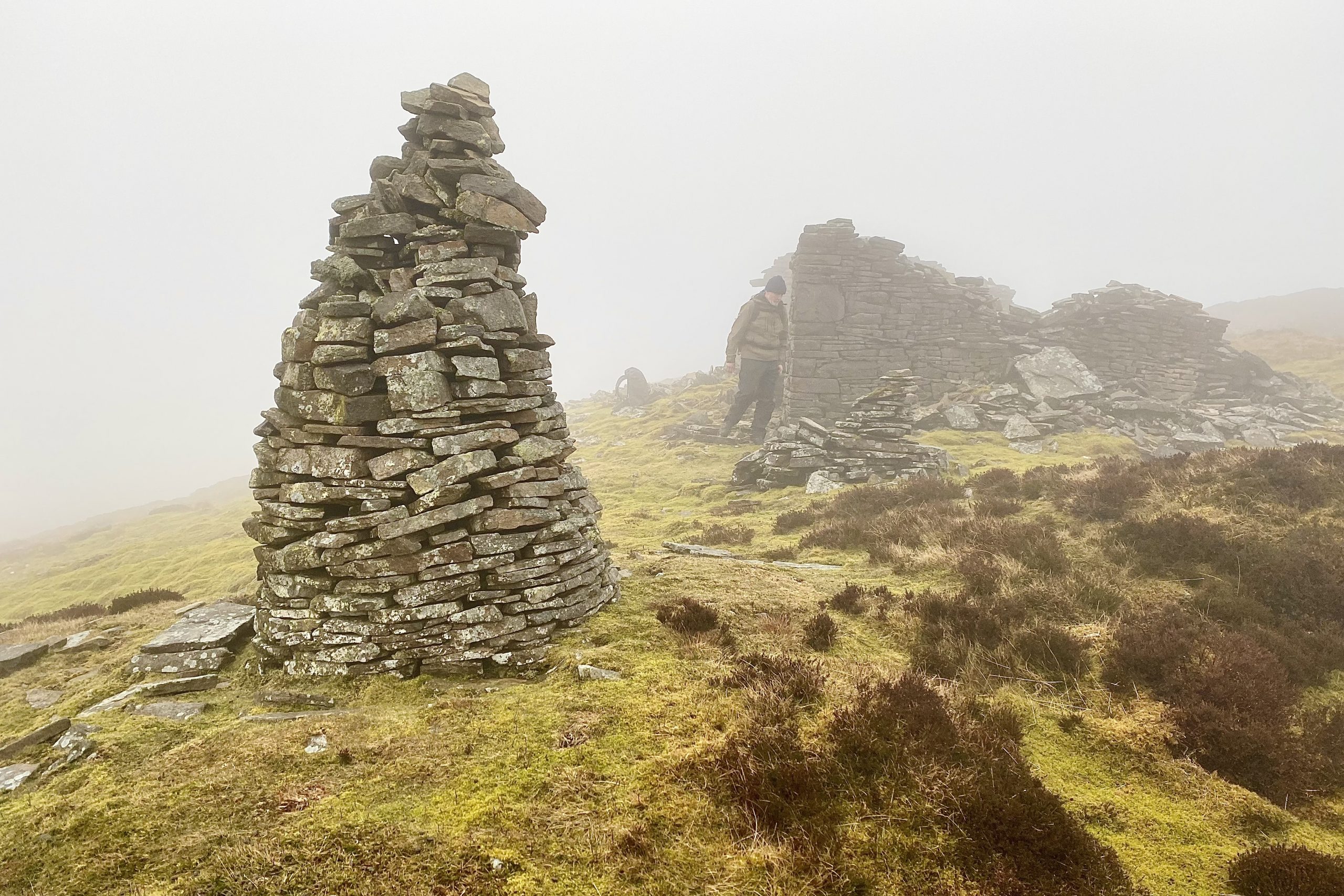
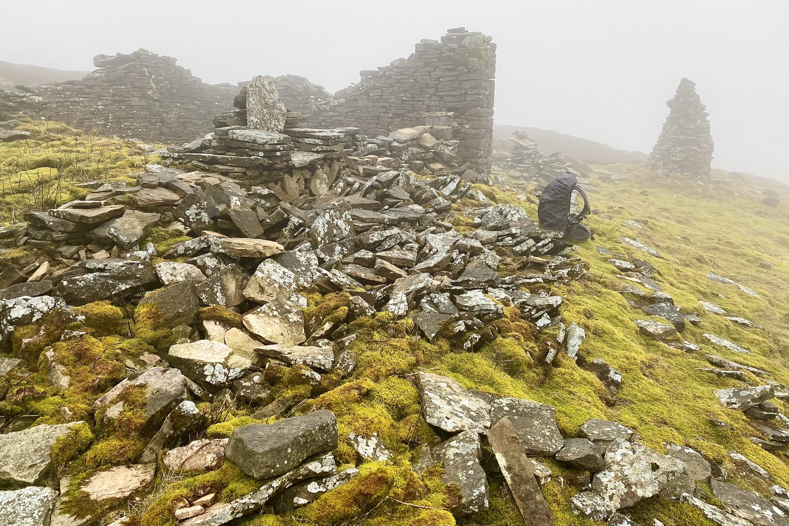
Large cairn close to the summit of Wasset Fell, height 503 metres (1650 feet).
One of many stoat traps in the area.

Wasset Fell was once a busy place for lead mining. Several disused mine workings and an abundance of spoil heaps can still be seen.
The view east across the Walden Beck valley.
Passing through Bridge End Farm.
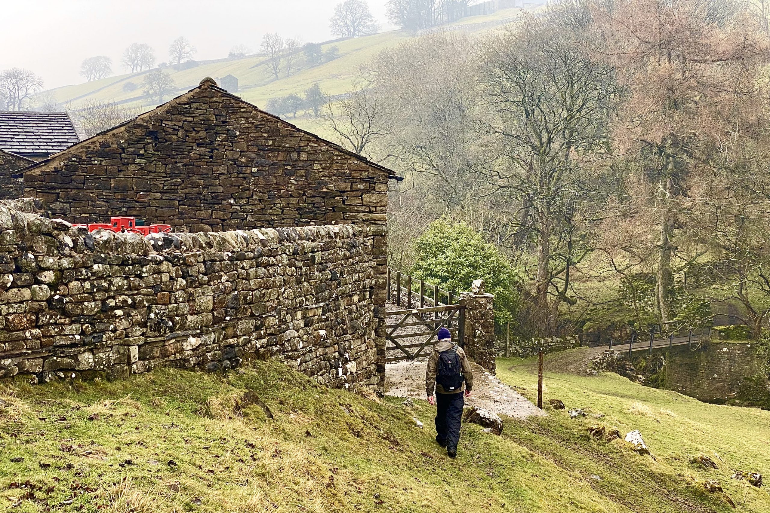
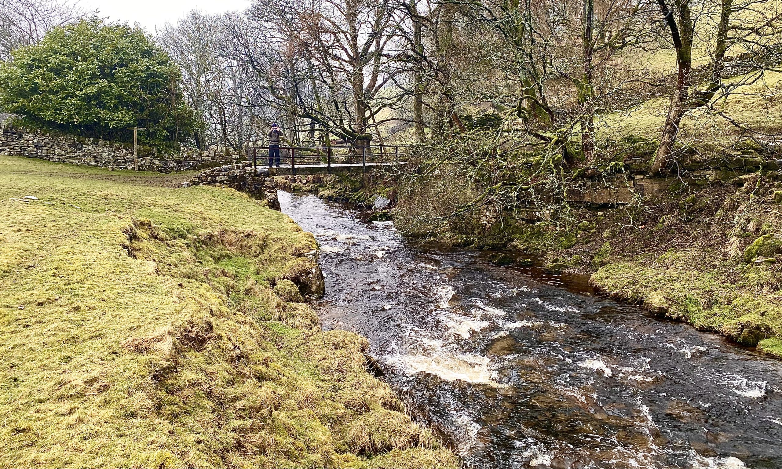
Footbridge over Walden Beck at Bridge End Farm.
Braithwaite Lead Smelt Mill
This chimney, the short length of horizontal flue and some foundations, are all that remain of a small lead smelt mill near Cote Bridge, West Burton.
Locally mined lead ore was converted into metallic lead in a furnace called an ore hearth. Peat, dried wood and coal were the fuel for this smelting process.
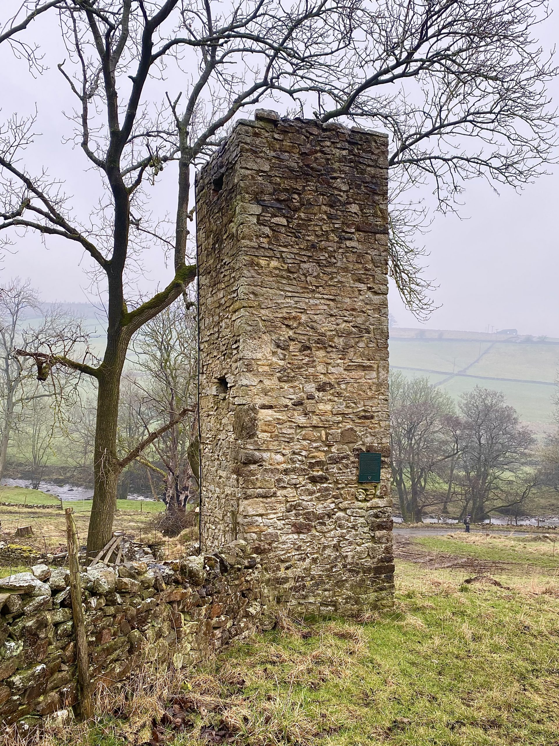
An air blast, to raise the temperature of the furnace, came from bellows powered by a large waterwheel. Poisonous fumes were taken away by the flue and chimney.
A working shift of between 12 and 15 hours produced about one ton of lead. The mill was last used in the 1870s.

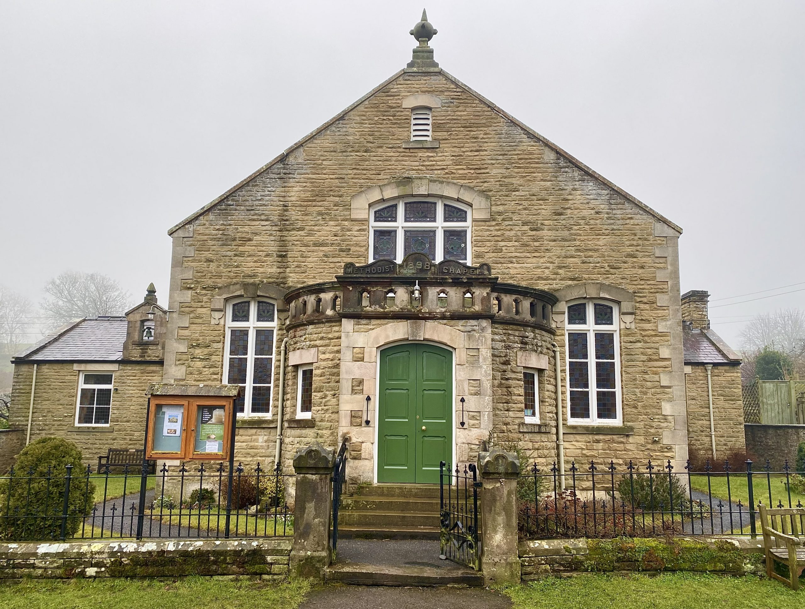
West Burton Methodist Church, built in 1898 by local craftsmen, overlooks the village green.
The village cross or obelisk on West Burton’s village green.
