North from Sedbergh, via the Dales High Way, across the Howgill Fells all the way to The Calf. West along footpaths and minor roads to the River Lune at the Crook of Lune Bridge. South following the river on the Dales Way, before heading across to Howgill Lane to return south-east to Sedbergh. A 12-mile walk in the Howgill Fells area of the Yorkshire Dales.

Recommended Ordnance Survey Map
The best map to use on this walk is the Ordnance Survey map of the Howgill Fells & Upper Eden Valley, reference OS Explorer OL19, scale 1:25,000. It clearly displays footpaths, rights of way, open access land and vegetation on the ground, making it ideal for walking, running and hiking. The map can be purchased from Amazon in either a standard, paper version or a weatherproof, laminated version, as shown below.
Standard Version
Looking back to Sedbergh as we head uphill along the Dales High Way.
A quick break near Arant Haw.
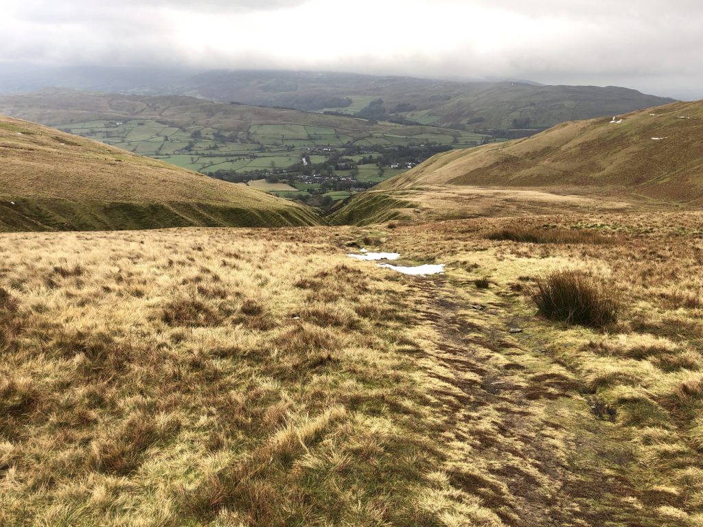
Snow starting to appear as we reach the 600-metre mark on the approach to Calders.
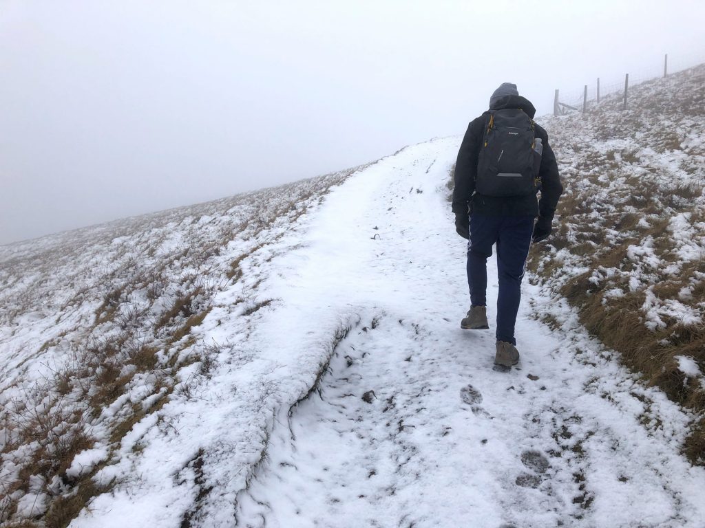
The final climb to The Calf near Calders.
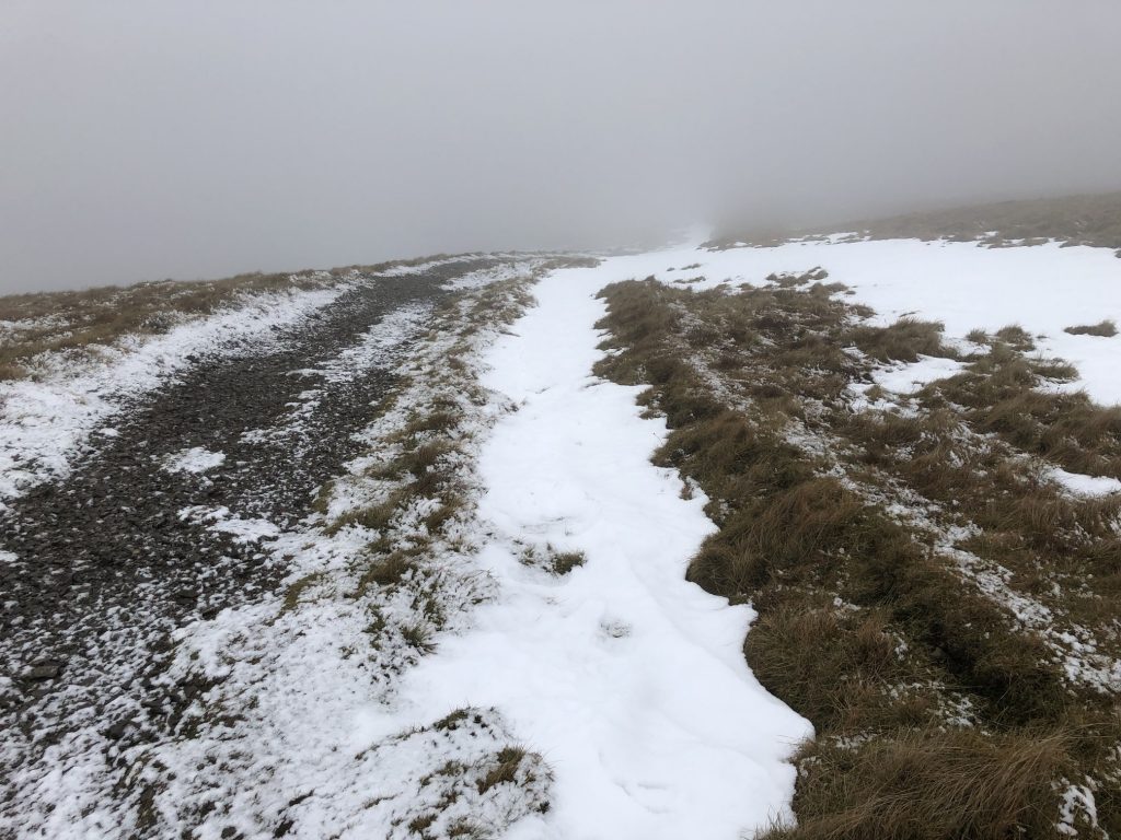
Snow and poor visibility at about 670 metres.
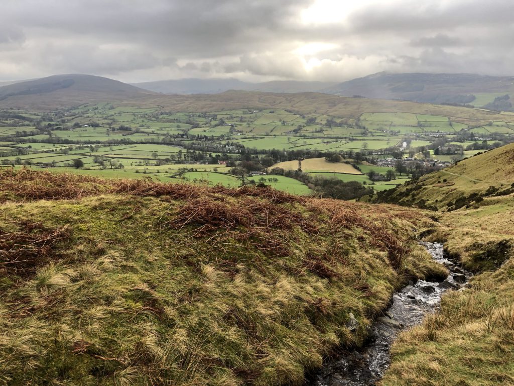
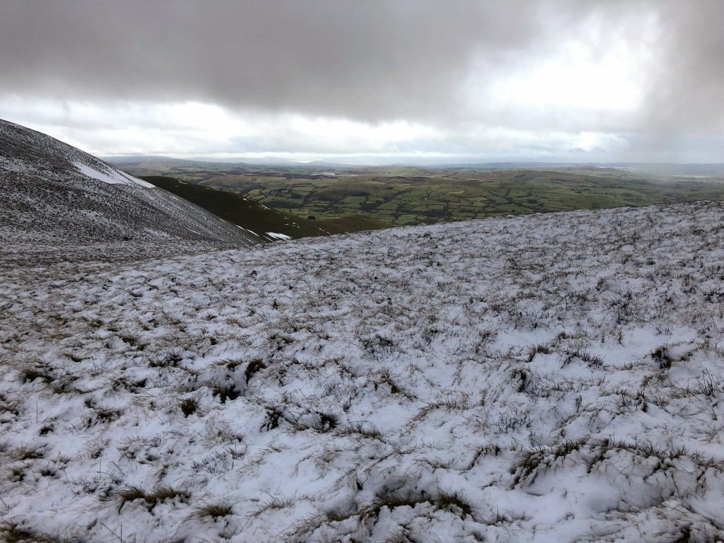
Suddenly the fog cleared and we were rewarded with some great views.
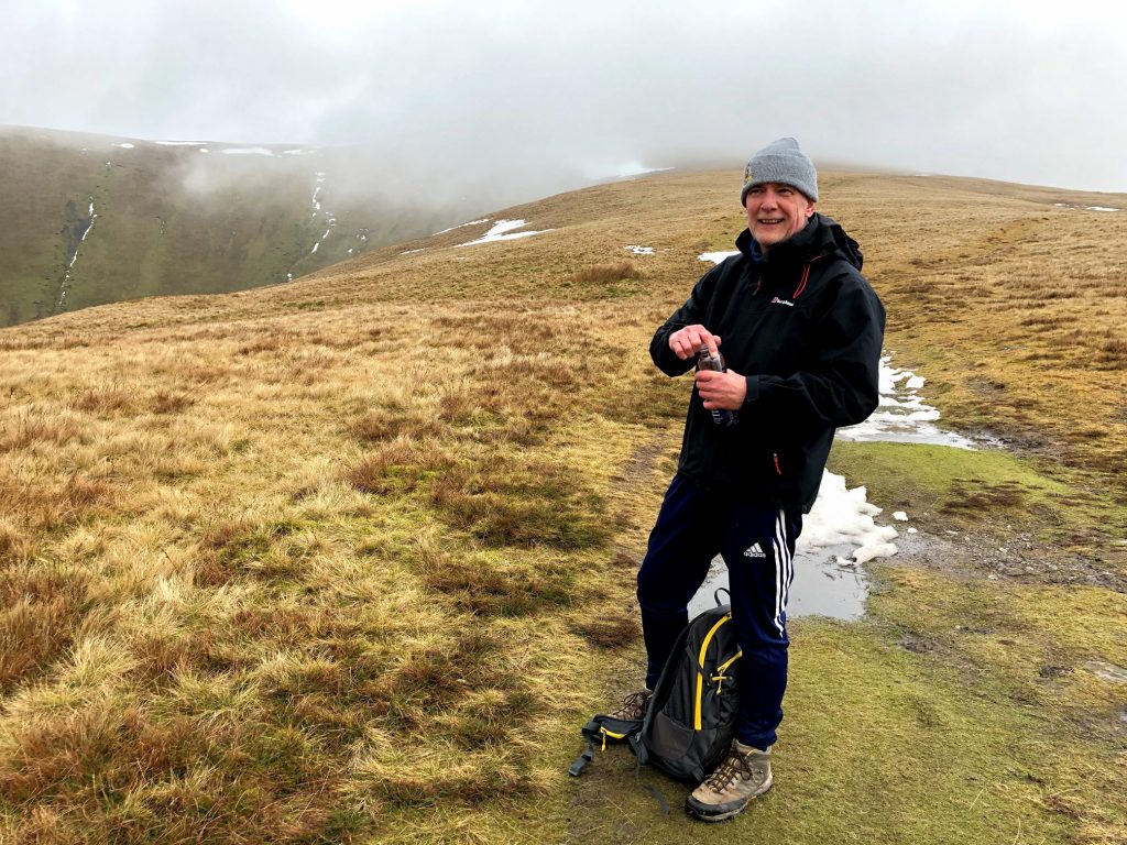
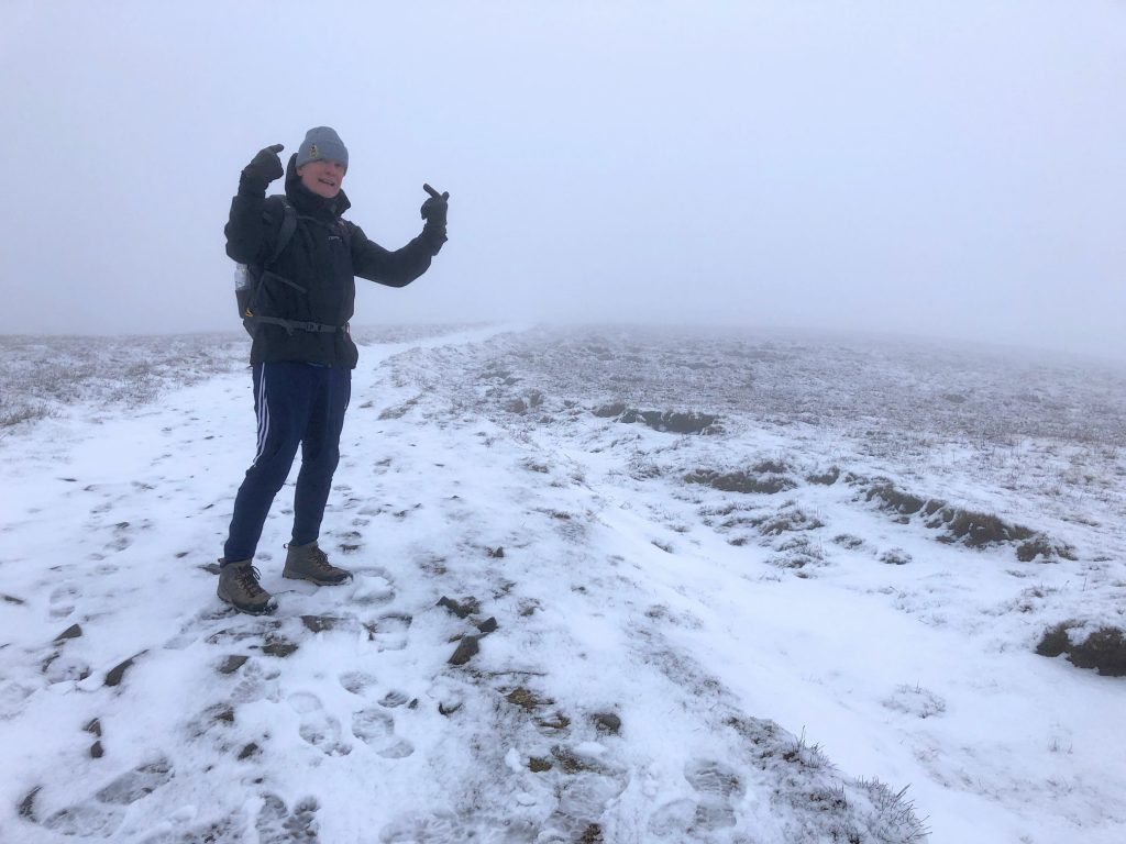
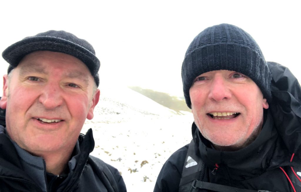
Mike and I near The Calf.
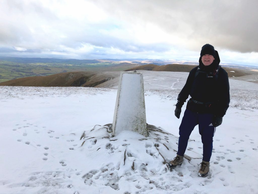
Triangulation pillar on The Calf, 676 metres (2217 feet). The Lake District is in the far background.
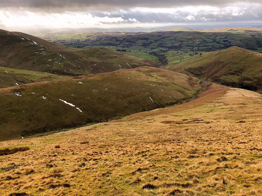
The view south-west towards the River Lune and the M6 Motorway.
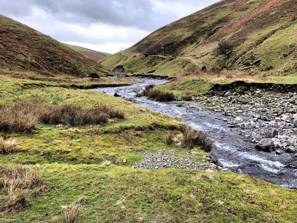
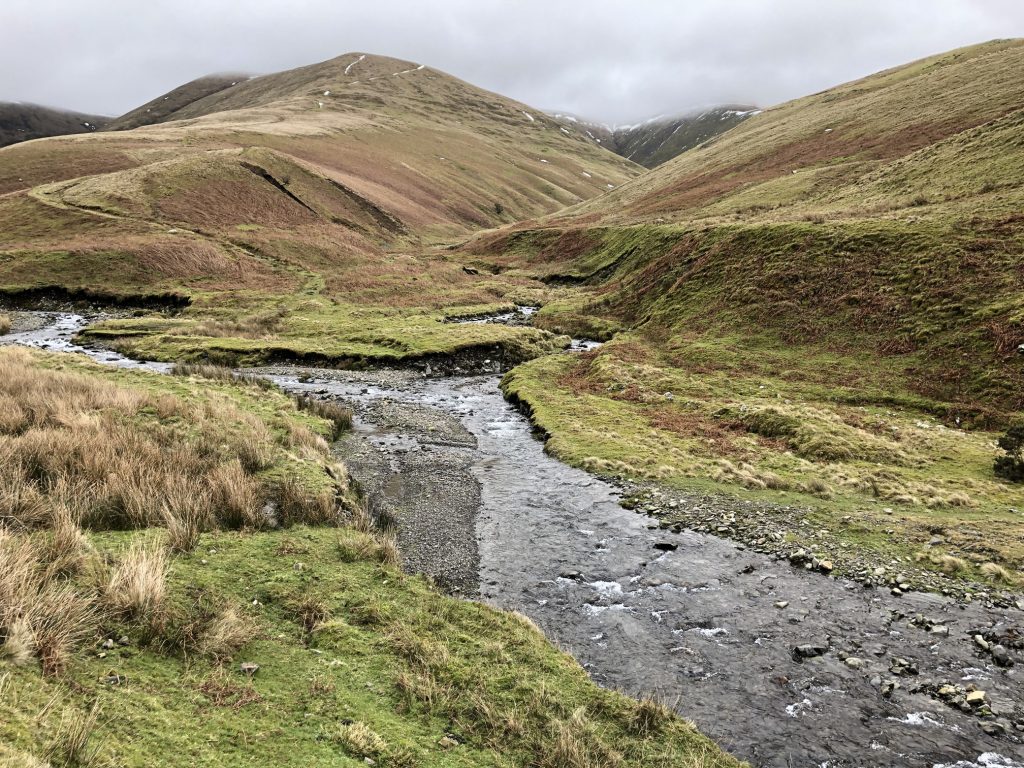
Chapel Beck is normally very shallow and easy to cross. But there was a lot of water running off the hills as a result of the melting snow on higher ground.
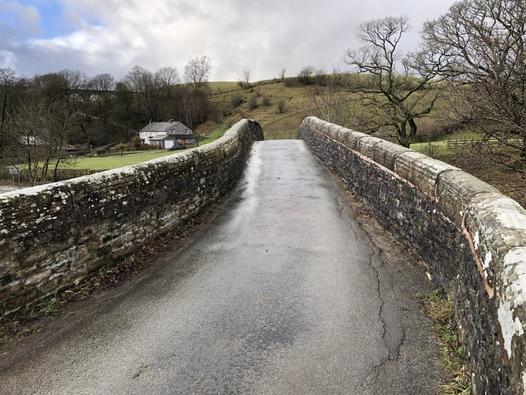
Crook of Lune Bridge. Just wide enough for a small car.
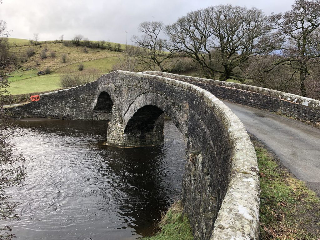
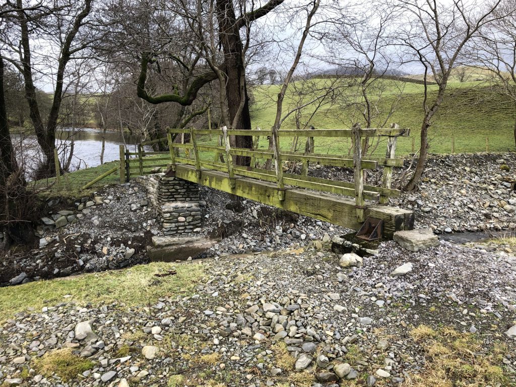
Mike wondered why I took a photo of this particularly unimpressive footbridge near Thwaite.