North from Chapel-le-Dale along Philpin Lane and A Pennine Journey to the summit of Whernside, then south-west across Blackside Pasture to the farm at Kingsdale Head. Further south-west via the minor road through the Kingsdale valley, before heading south-east to meet and climb Twisleton Scar End. Finally north-east across Scales Moor to Gill Head before turning south-east back to Chapel-le-Dale. A 13-mile walk in the Yorkshire Dales.
Recommended Ordnance Survey Map
The best map to use on this walk is the Ordnance Survey map of the Yorkshire Dales Southern & Western Area, reference OS Explorer OL2, scale 1:25,000. It clearly displays footpaths, rights of way, open access land and vegetation on the ground, making it ideal for walking, running and hiking. The map can be purchased from Amazon in either a standard, paper version or a weatherproof, laminated version, as shown below.
Standard Version
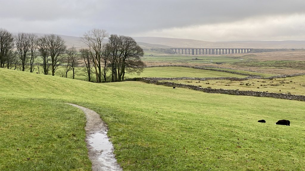
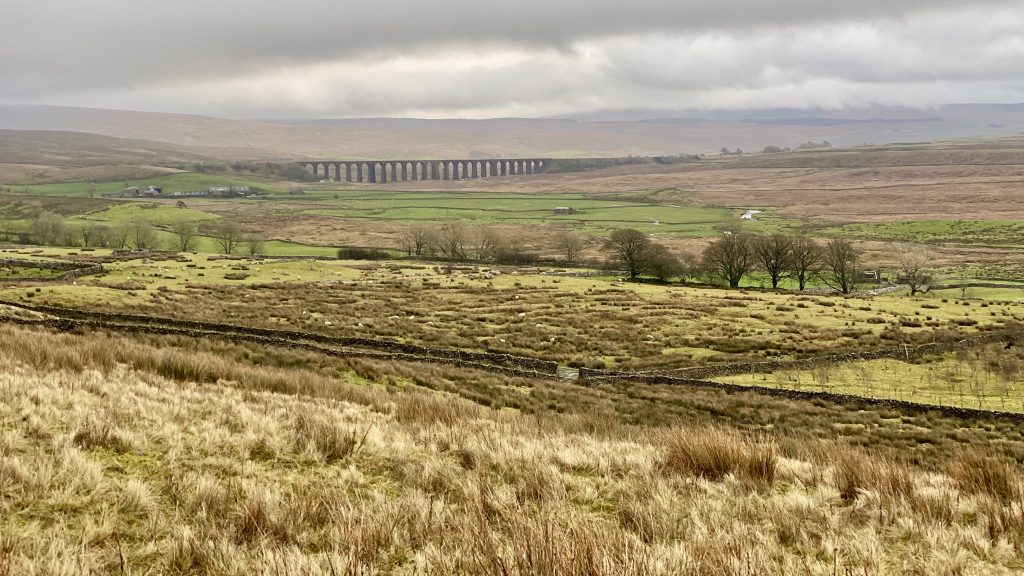
Looking east from Bruntscar towards Ribblehead Viaduct.
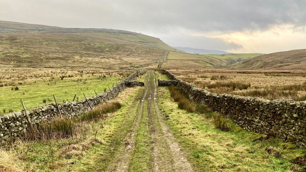
The view east from A Pennine Journey as we start the climb to the summit of Whernside.
The view south across the River Doe valley with the cloud-covered mountain of Ingleborough in the background.
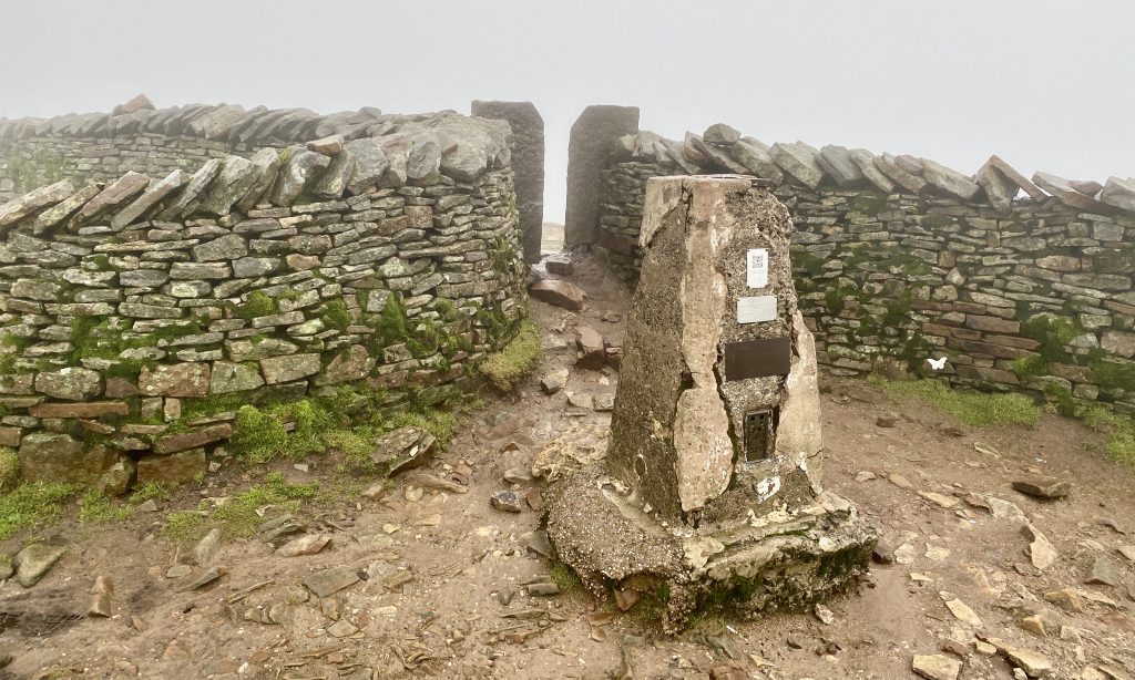
Triangulation pillar on Whernside summit, height 736 metres (2415 feet).
Mike and I on the summit of Whernside.

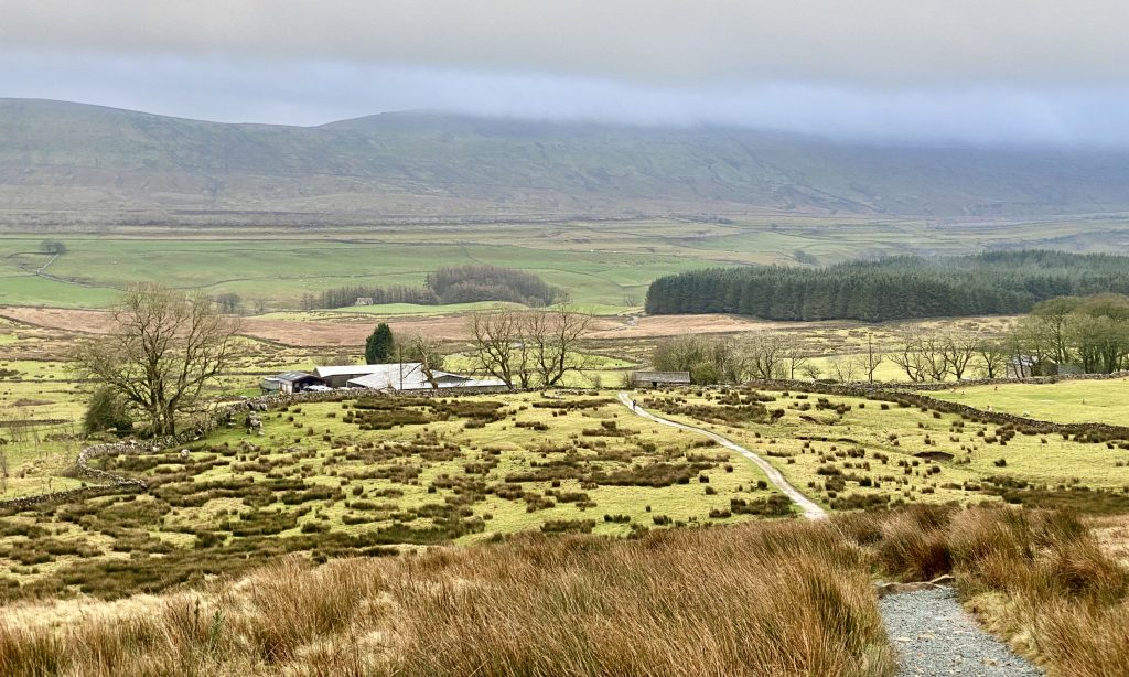
Heading down towards Kingsdale Head from Blackside Pasture.
A picturesque area of woodland just above the farm at Kingsdale Head.

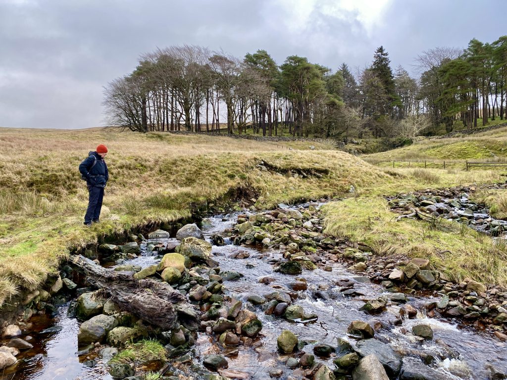
Buck Beck which originates high up on the western slopes of Whernside.
Footbridge across Kingsdale Beck in the Kingsdale valley.

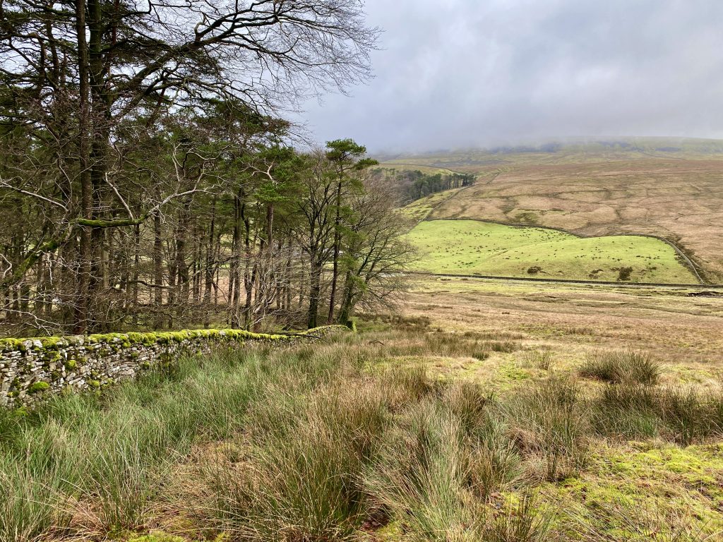
The track from Kingsdale towards Twisleton Scar End. The route is usually very busy as it connects the River Twiss and the River Doe at the northern end of the popular Ingleton Waterfalls Trail.
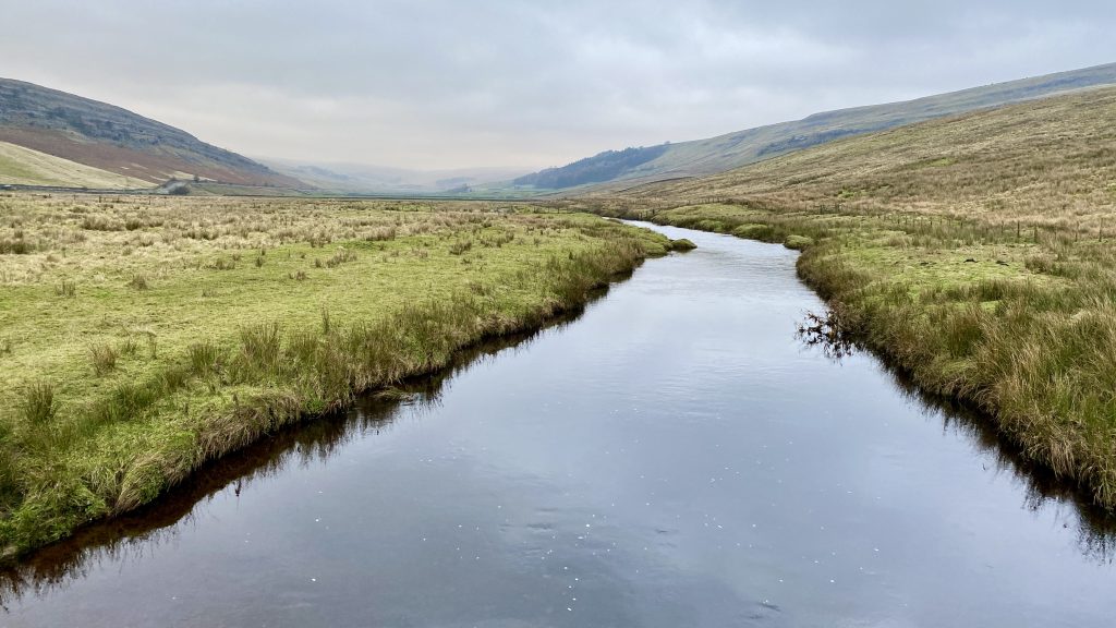
Looking north through the Kingsdale valley from the footbridge over the River Twiss.
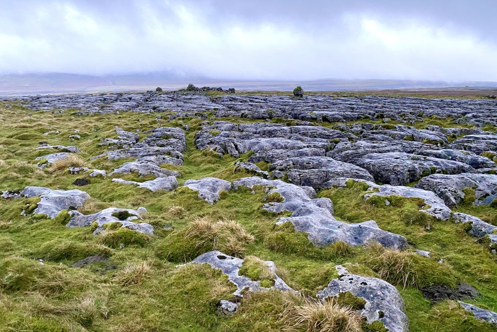
The view south-east over the limestone pavement at Great Hard Rigg towards Ingleborough.