South-west from Garsdale Station along Old Road then north to Riggs. West to the top of East Baugh Fell and continuing via the East Tarns to Knoutberry Haw. North across Baugh Fell to West Baugh Fell Tarn, followed by a north-east descent to Rawthey Gill Foot. East along A Pennine Journey all the way back to the station. A 12-mile walk in the Yorkshire Dales.
Recommended Ordnance Survey Map
The best map to use on this walk is the Ordnance Survey map of the Howgill Fells & Upper Eden Valley, reference OS Explorer OL19, scale 1:25,000. It clearly displays footpaths, rights of way, open access land and vegetation on the ground, making it ideal for walking, running and hiking. The map can be purchased from Amazon in either a standard, paper version or a weatherproof, laminated version, as shown below.
Standard Version
The start of the climb to the top of East Baugh Fell.
The view north-west towards Swarth Fell.
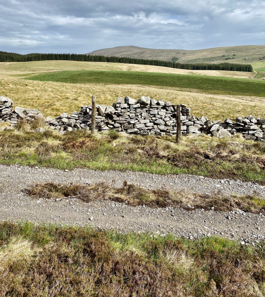
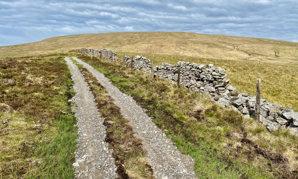
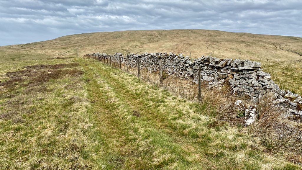
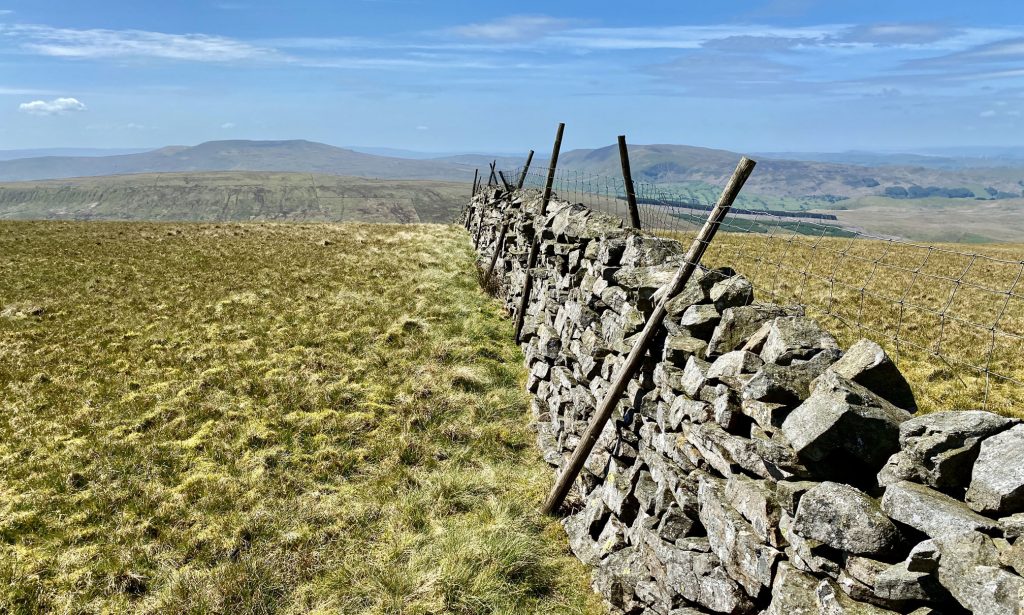
Following the wall to the top of East Baugh Fell. There is no official footpath but tracks have been made by farm vehicles and other walkers.
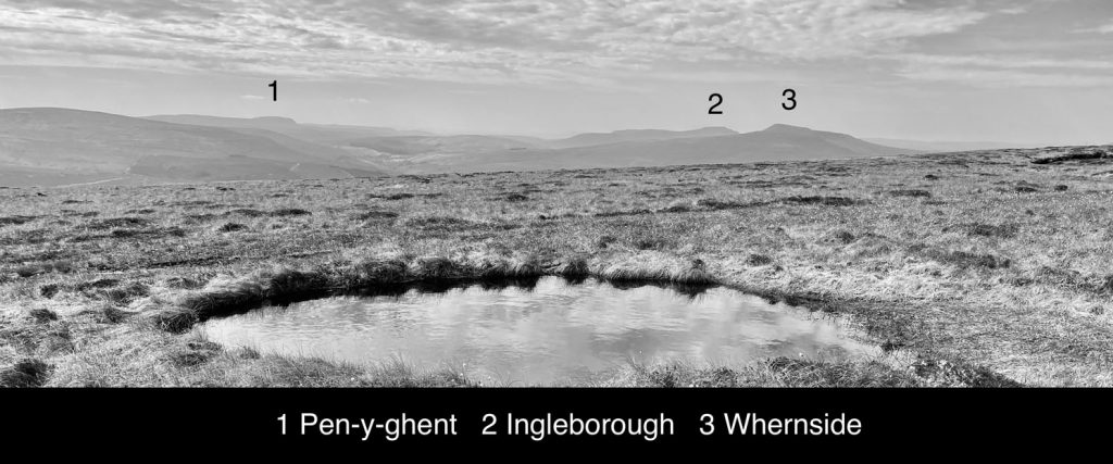
The view south from East Baugh Fell towards the ‘Yorkshire Three Peaks Challenge’ mountains of Pen-y-ghent, Ingleborough and Whernside.
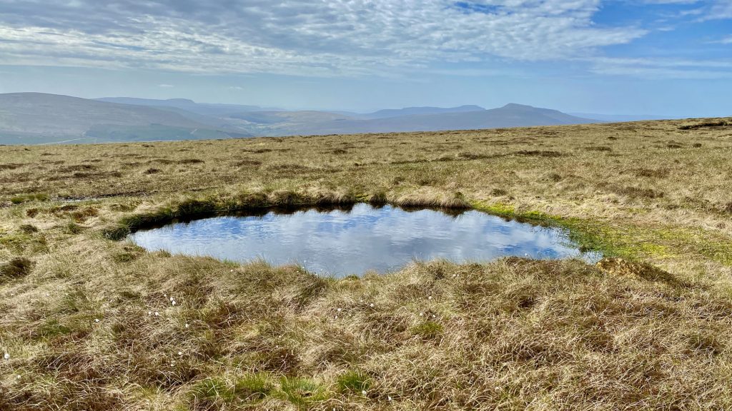
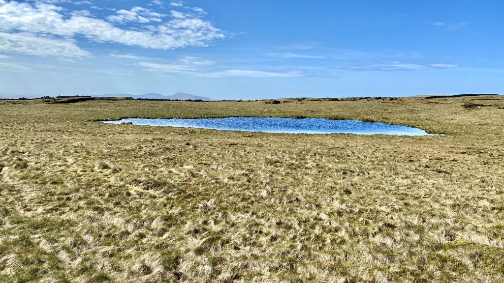
One of several small tarns on East Baugh Fell.
The view north towards Swarth Fell from East Baugh Fell.
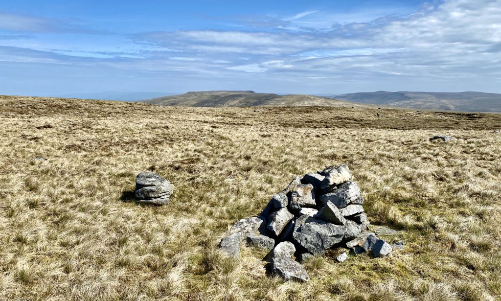
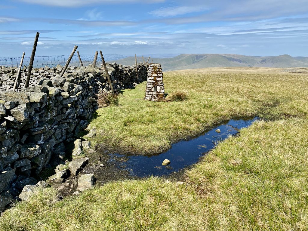
Cairns on East Baugh Fell.

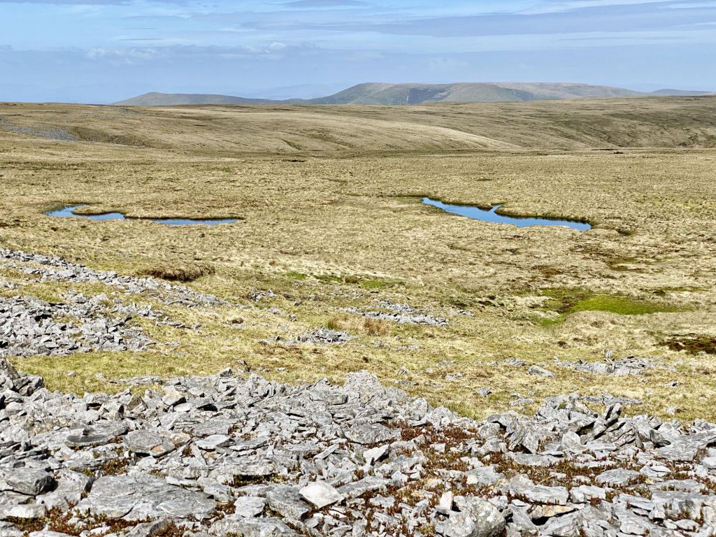
The East Tarns area on East Baugh Fell.
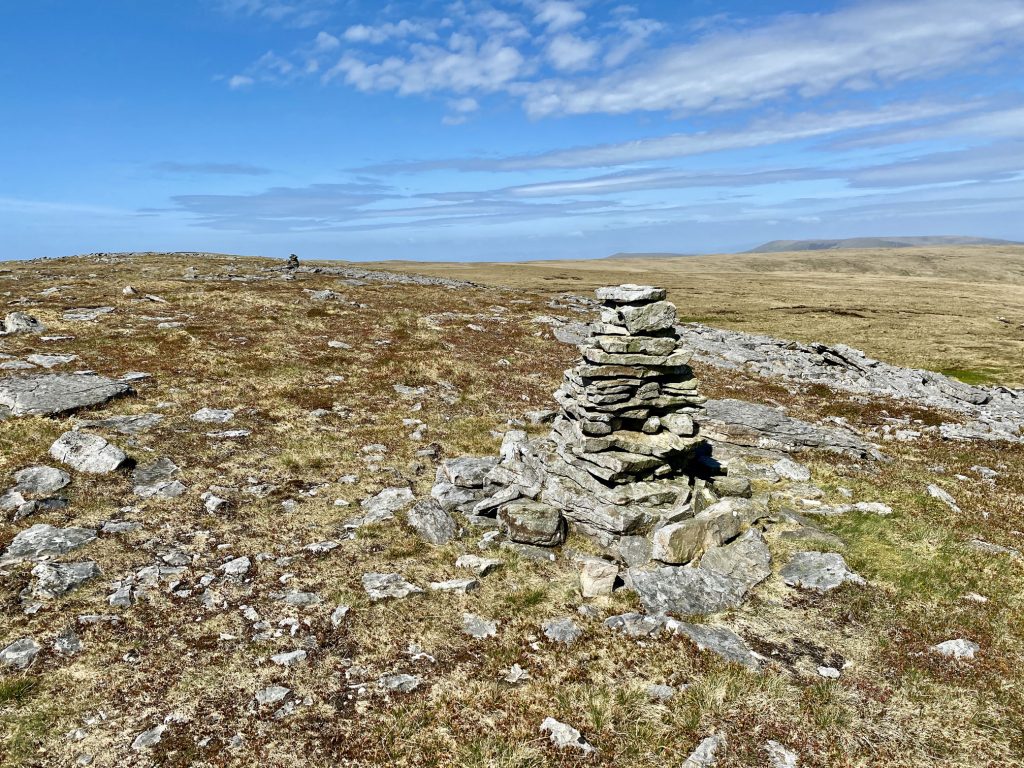
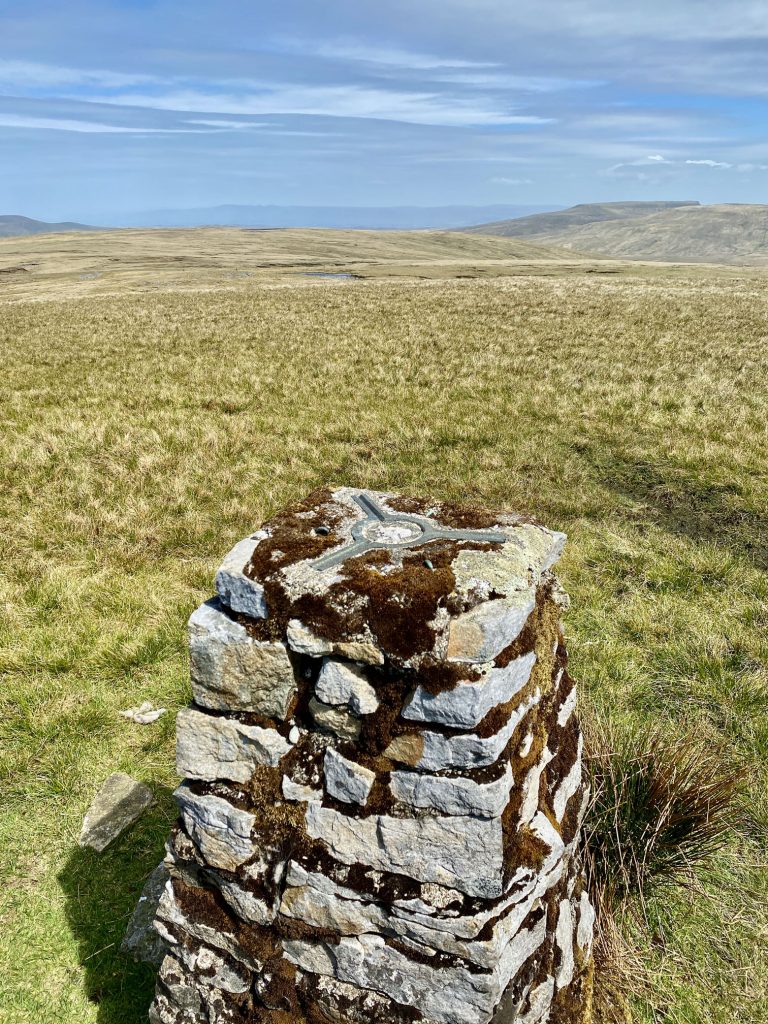
The summit of Knoutberry Haw, height 676 metres (2218 feet).
Looking south-west from Knoutberry Haw towards Crag Hill (on the left-hand side of the wall) and Middleton Fell (on the right-hand side of the wall).
The view north-west from Knoutberry Haw towards the Howgill Fells.

The route north from Knoutberry Haw to West Baugh Fell Tarn. There is no official footpath and any paths that do exist are very faint and easily lost. It’s a good idea to have a compass.
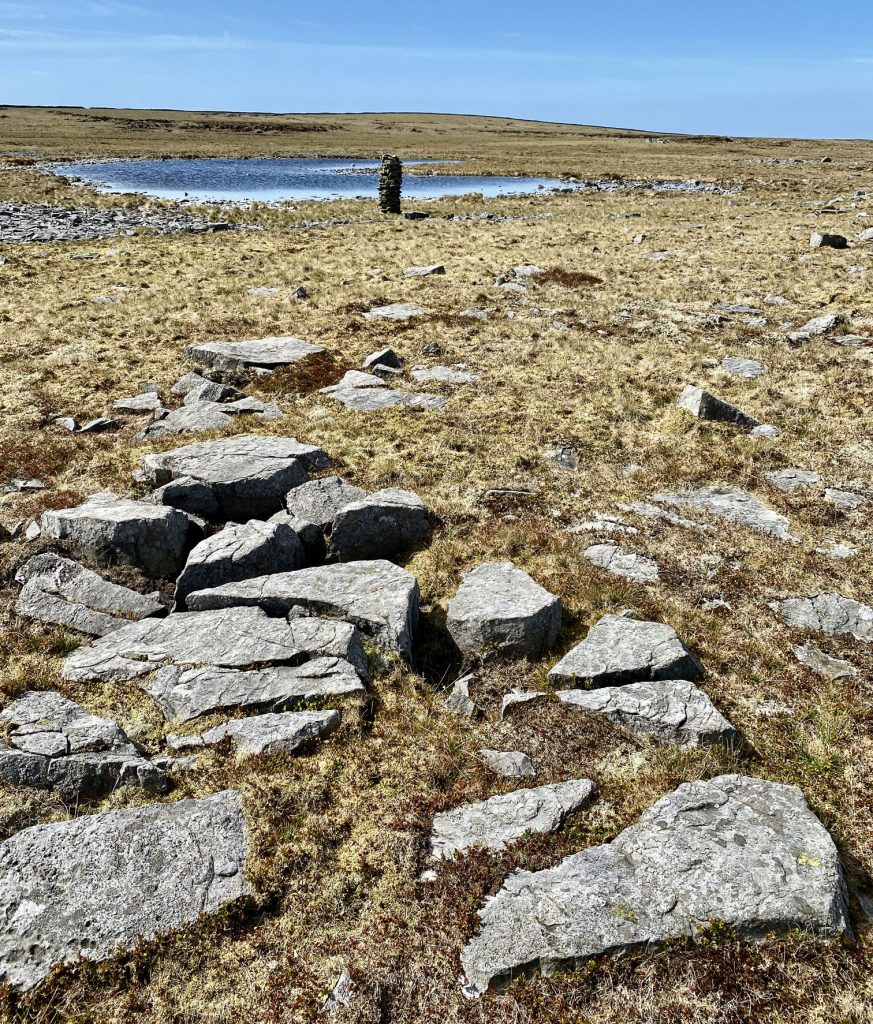
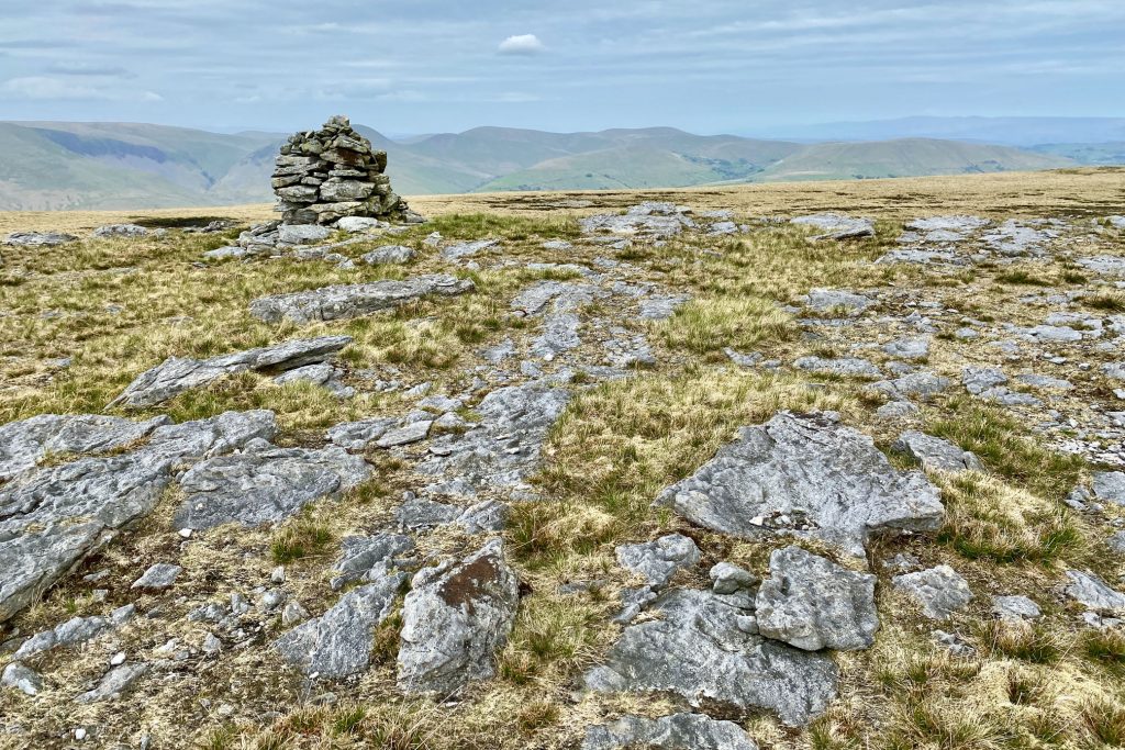
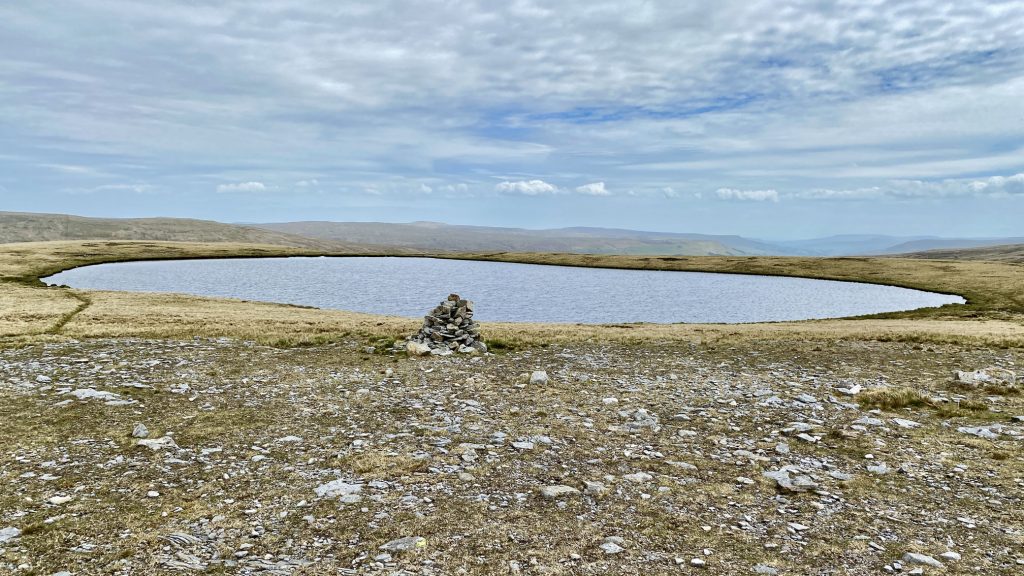
Cairn on the west side of West Baugh Fell Tarn.
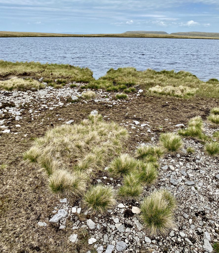
West Baugh Fell Tarn.
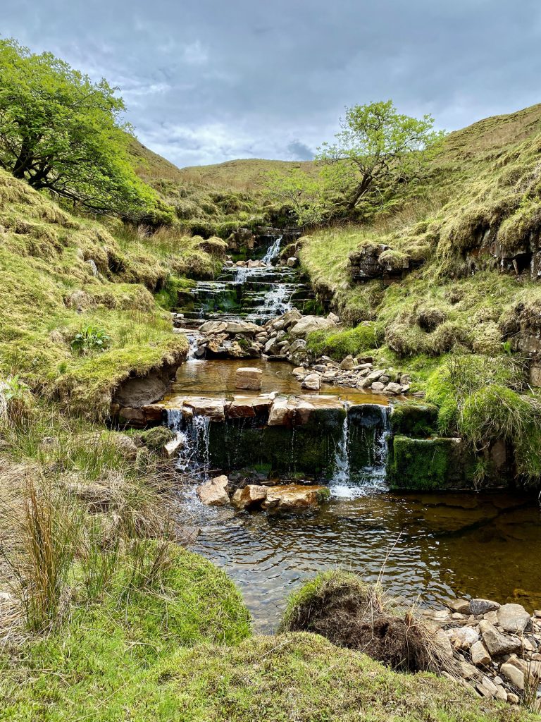
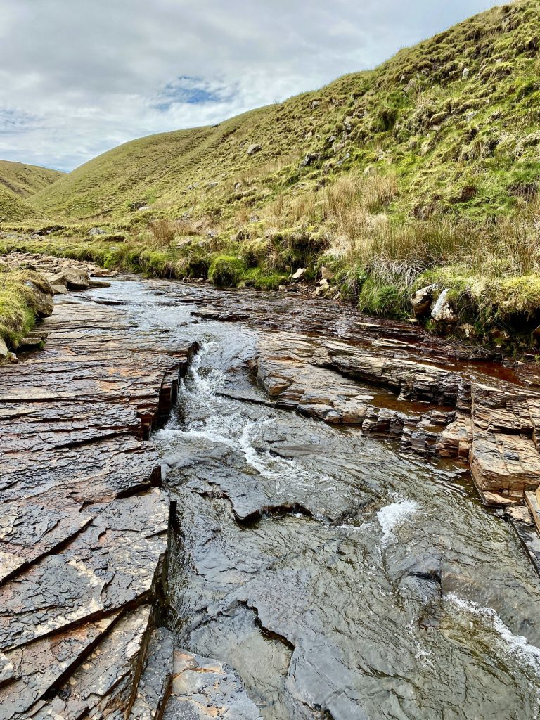
Rawthey Gill between Baugh Fell and East Baugh Fell.
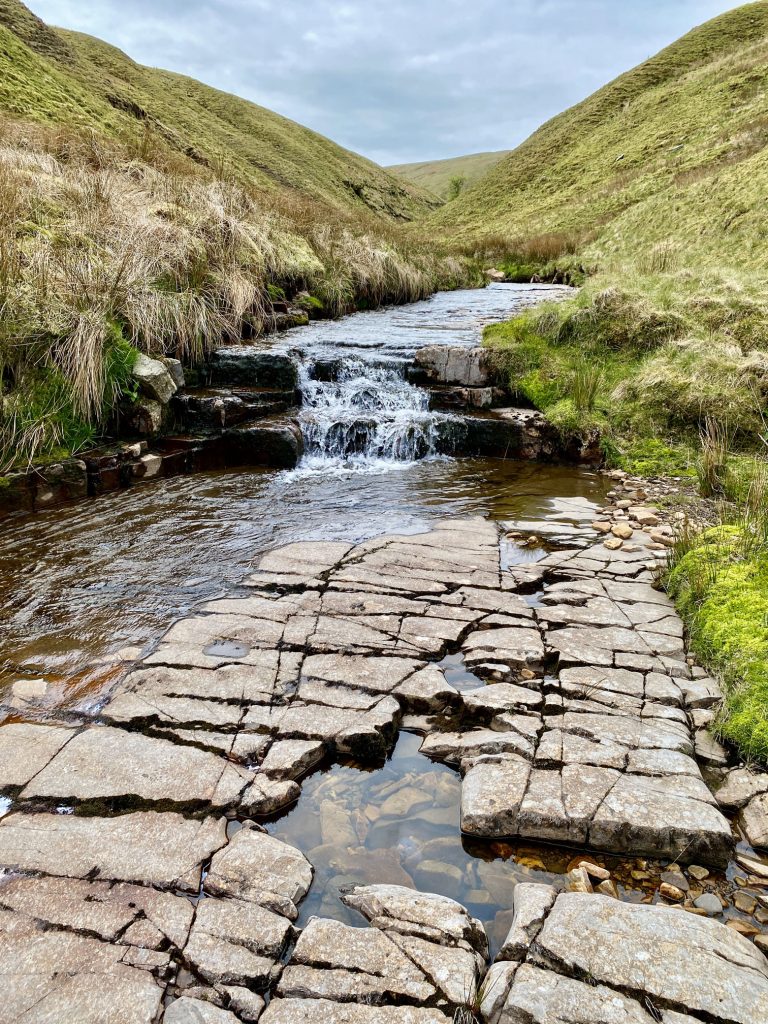
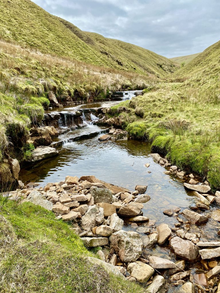
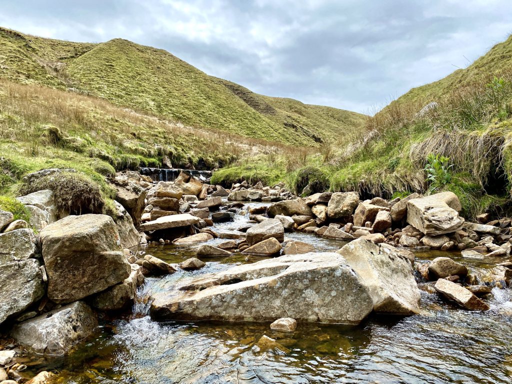
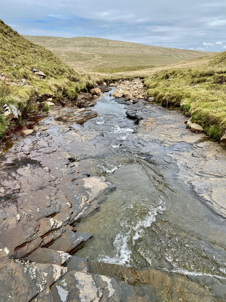
Rawthey Gill (right) is joined by Swere Gill (left).
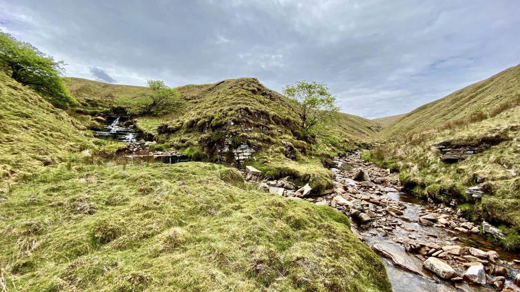
Rawthey Gill flows north-east between Baugh Fell and East Baugh Fell and becomes the River Rawthey at Rawthey Gill Foot.
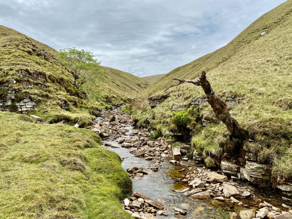

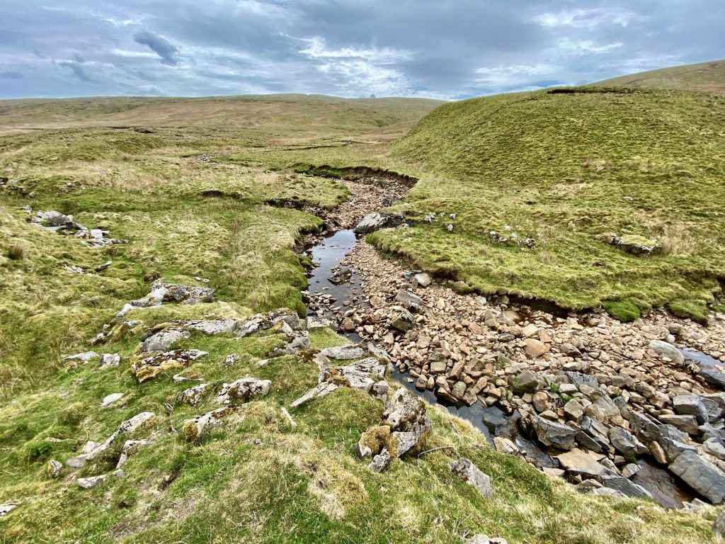
Rawthey Gill Foot.

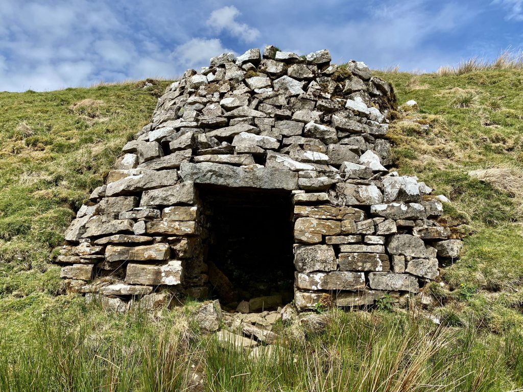
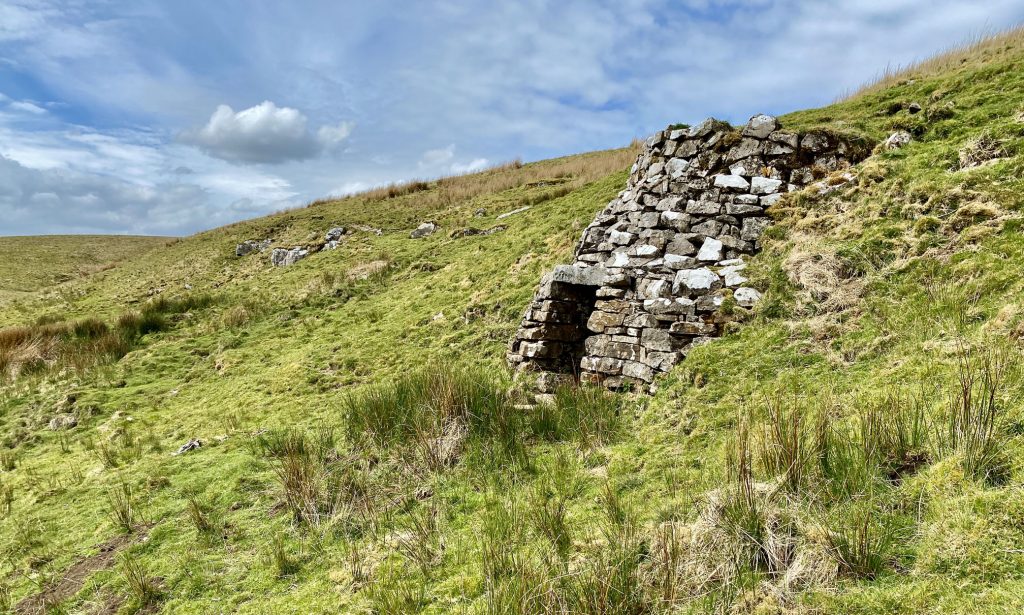
Lime kiln by the side of A Pennine Journey near Holmes Moss Hill.
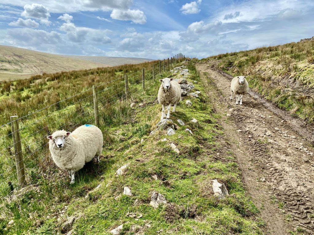
Inquisitive sheep following me near Flust.
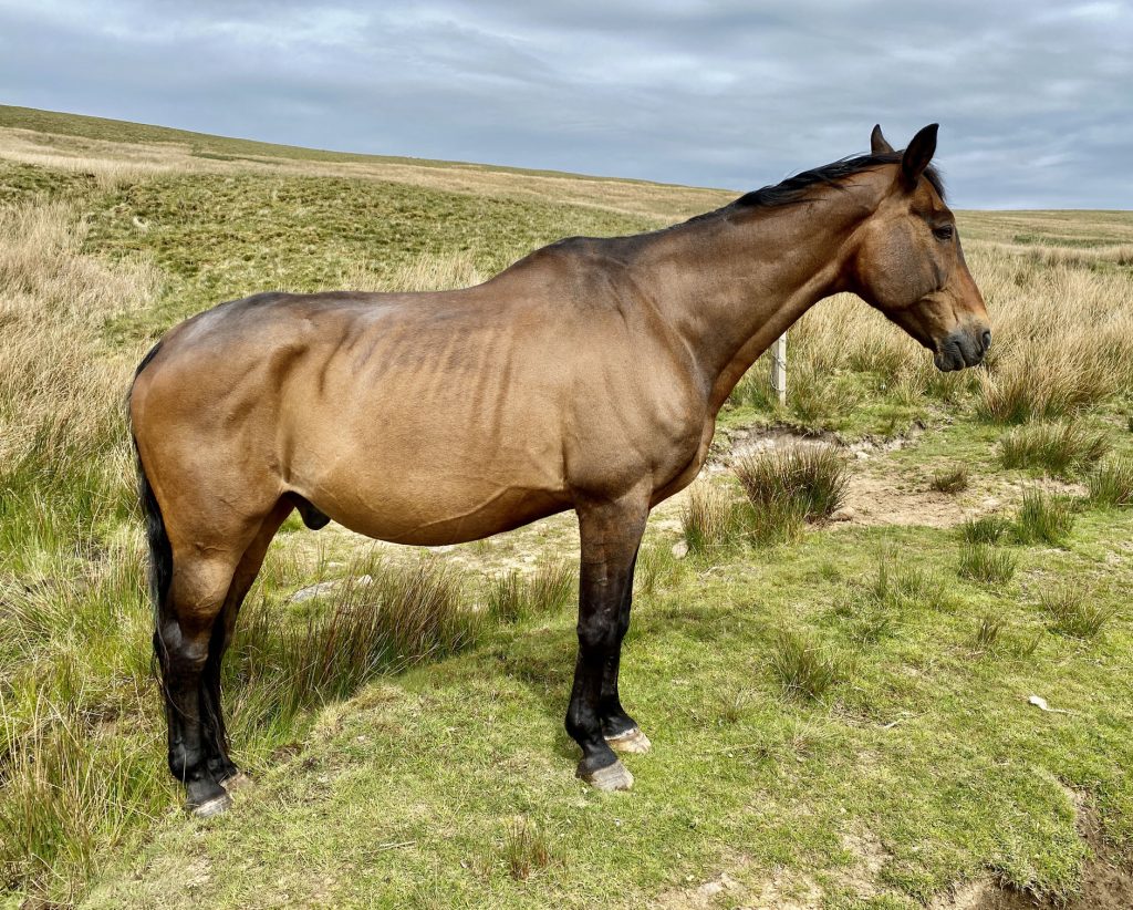
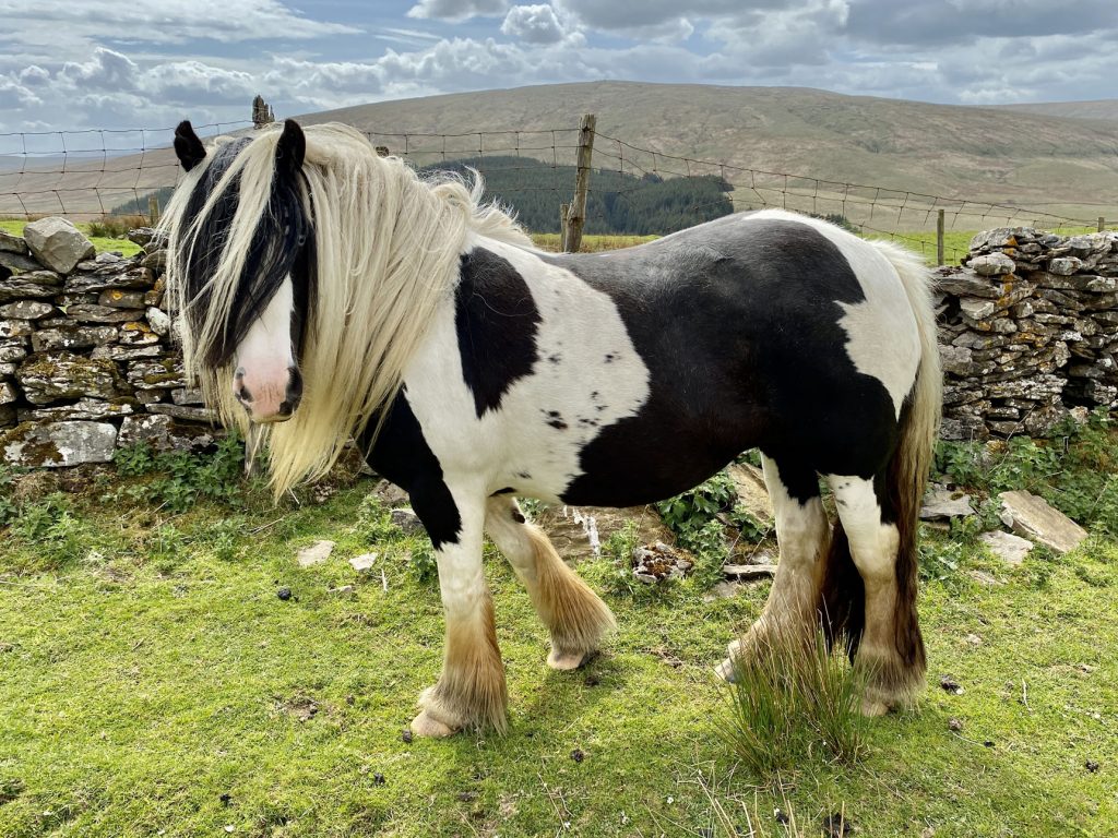
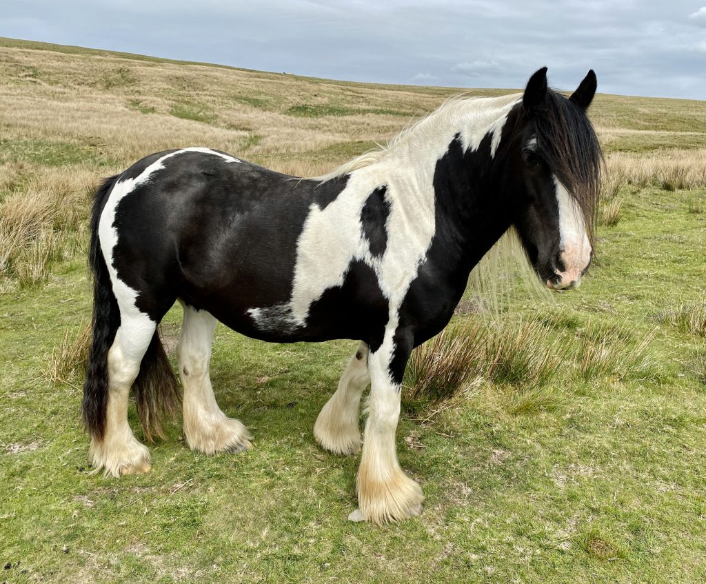
Horses on Grisedale Common.
The Settle to Carlisle railway line as seen from South Lunds Pasture. The line crosses the five-arched Lunds Viaduct and enters Moorcock Tunnel.

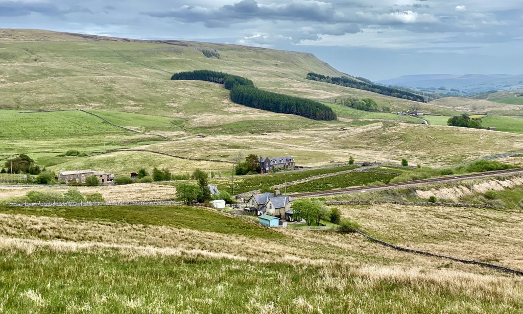
Tarn Hill and the western extent of Wensleydale.
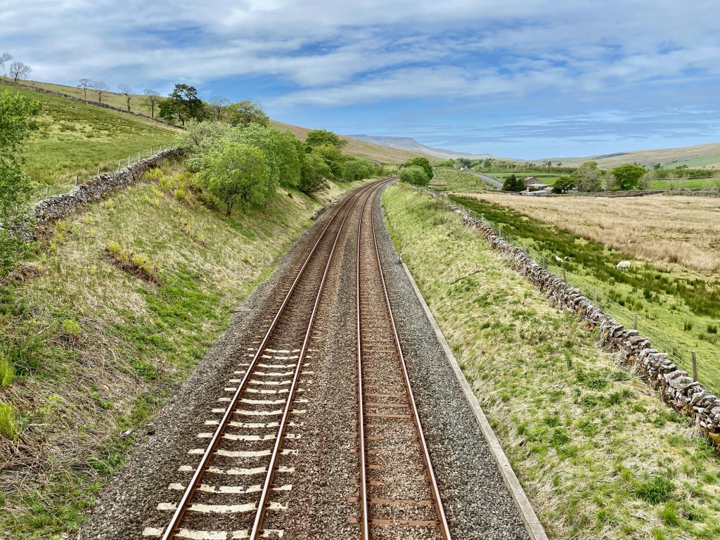
The Settle to Carlisle railway line through the Mallerstang valley. Wild Boar Fell is just visible in the distance.
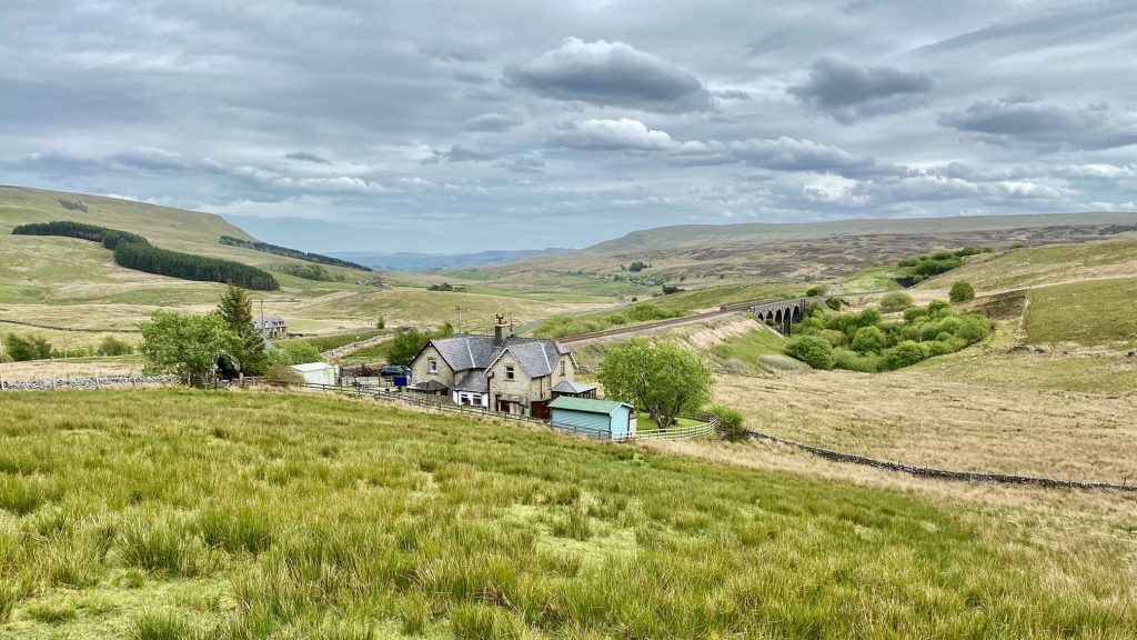
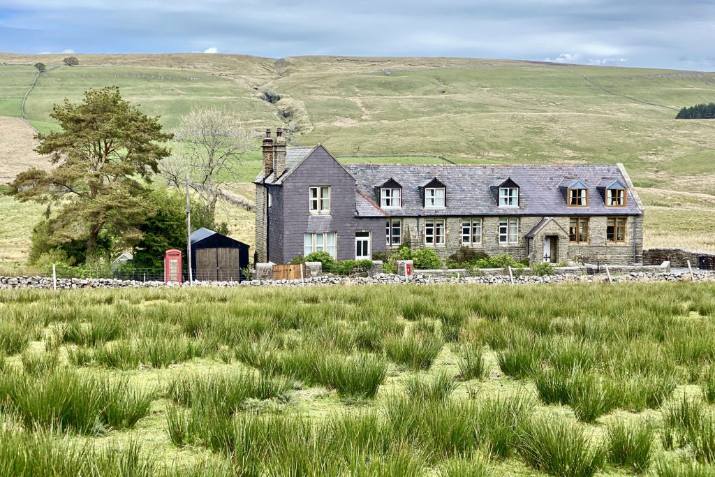
Railway cottages near Lunds.
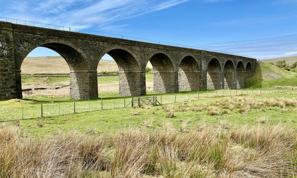
Dandrymire Viaduct near Garsdale Station. The viaduct has 12 arches and was constructed by Midland Railway between 1873 and 1875 to carry the Settle to Carlisle railway line. The crossing was originally planned as an embankment but the idea was abandoned when large amounts of deposited material sunk into the mire.