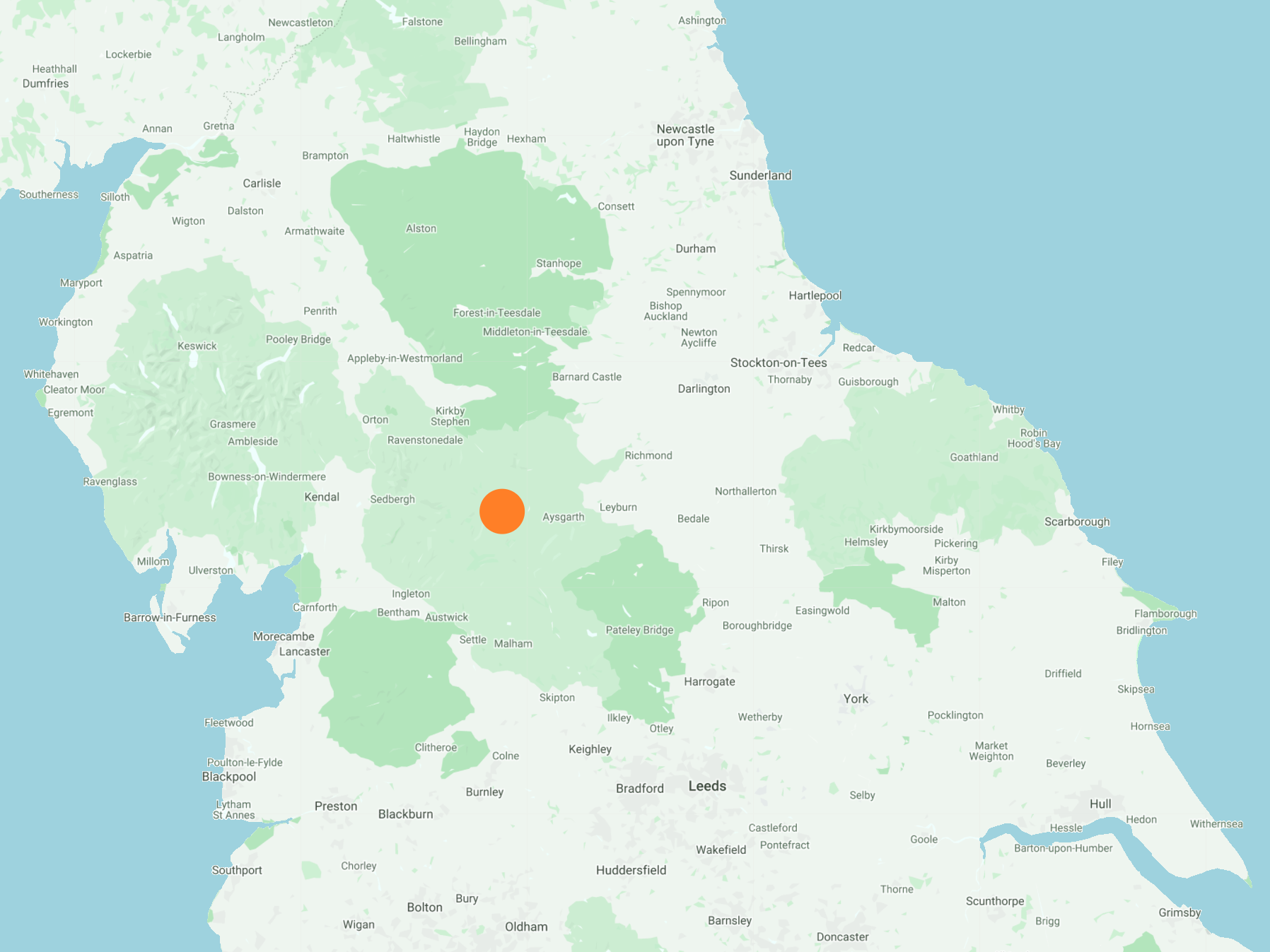
From the village of Hardraw, north-west then north via the Pennine Way all the way to the summit of Great Shunner Fell. East across to Little Shunner Fell, then south-east to Butter Tubs on Cliff Gate Road. South through the valley of Fossdale to briefly re-join the road, then further south by way of Shaw Gill Wood back to Hardraw. An 11-mile walk in the Yorkshire Dales.
Recommended Ordnance Survey Map
The best map to use on this walk is the Ordnance Survey map of the Howgill Fells & Upper Eden Valley, reference OS Explorer OL19, scale 1:25,000. It clearly displays footpaths, rights of way, open access land and vegetation on the ground, making it ideal for walking, running and hiking. The map can be purchased from Amazon in either a standard, paper version or a weatherproof, laminated version, as shown below.
Standard Version
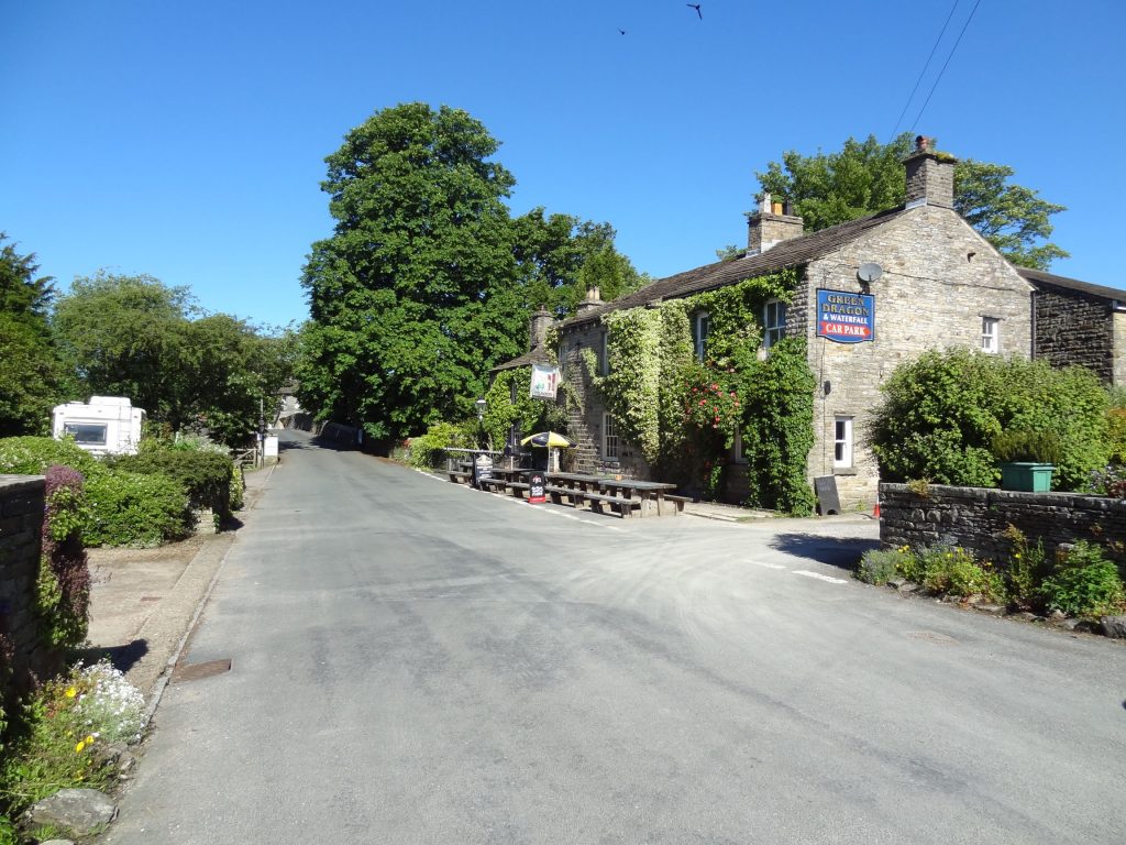
The Green Dragon in Hardraw village centre.
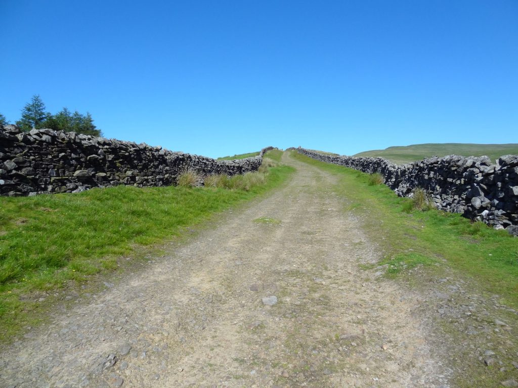
The route from Hardraw to Great Shunner Fell via the Pennine Way.
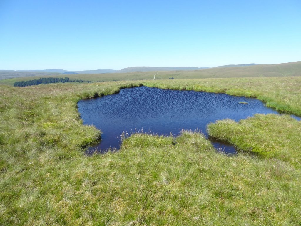
A small pond near Hearne Top.
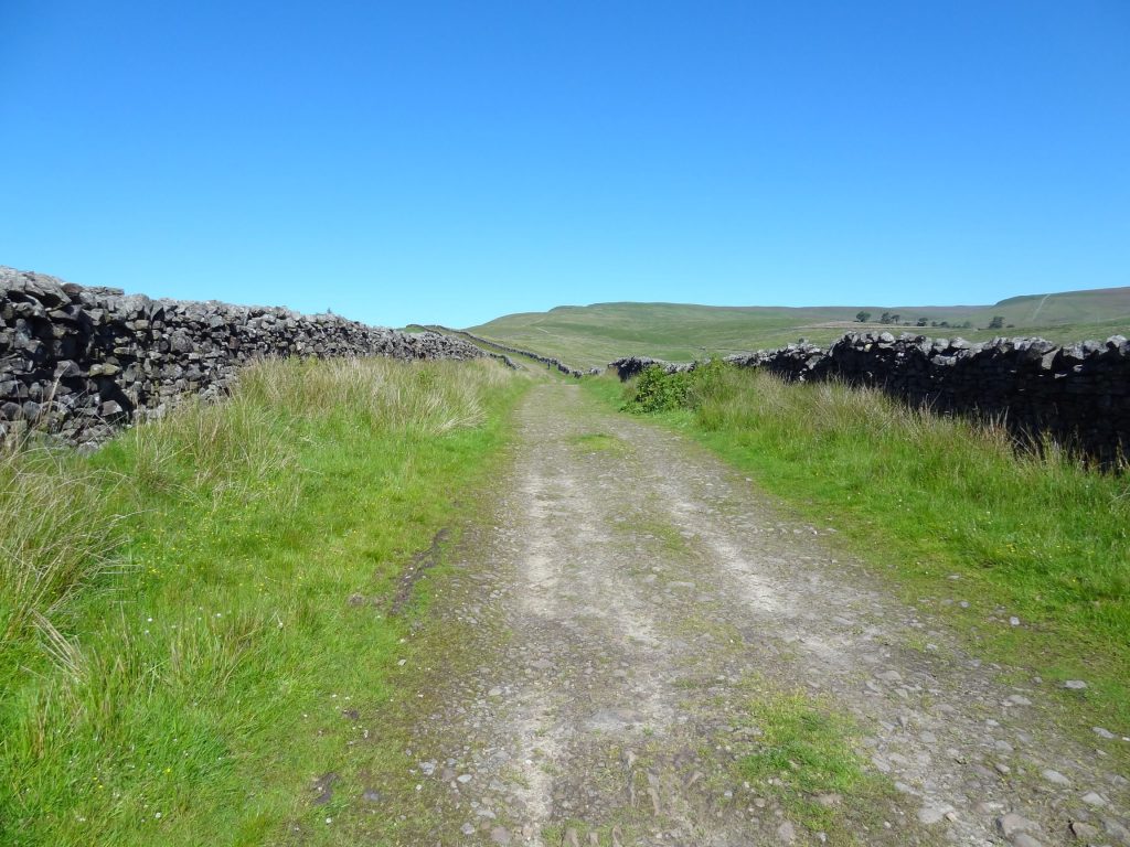
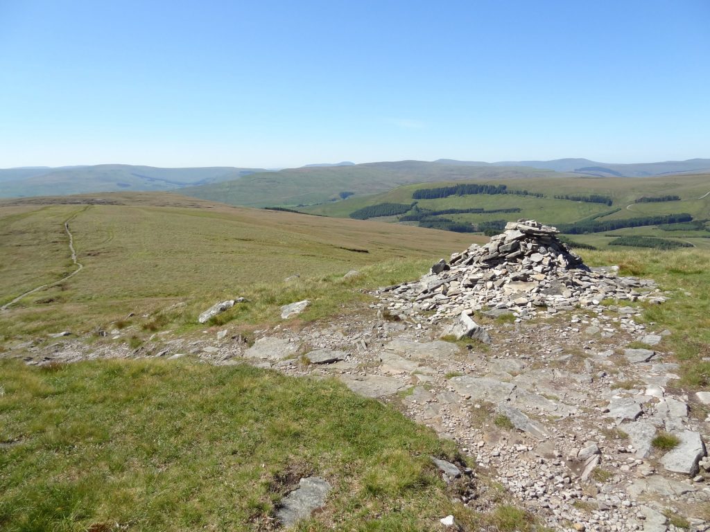
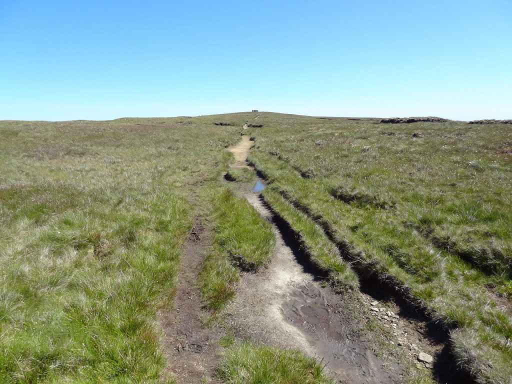
One of several piles of stones marking the route of the Pennine Way.
At 716 metres (2349 feet), Great Shunner Fell is the third highest mountain in the Yorkshire Dales and highest point in Wensleydale. But the climb to its summit along the Pennine Way from Hardraw (240 metres above sea level) is easy. The route is simple to follow, often paved, and the incline is stretched over 4½ miles which means the gradient is gentle.
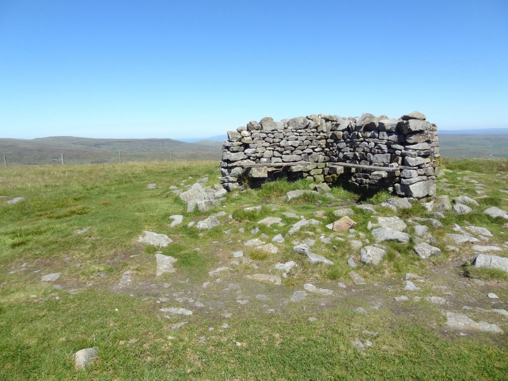
The stone shelter at the top of Great Shunner Fell comes into view on the horizon.
The Great Shunner Fell summit, height 716 metres (2349 feet).
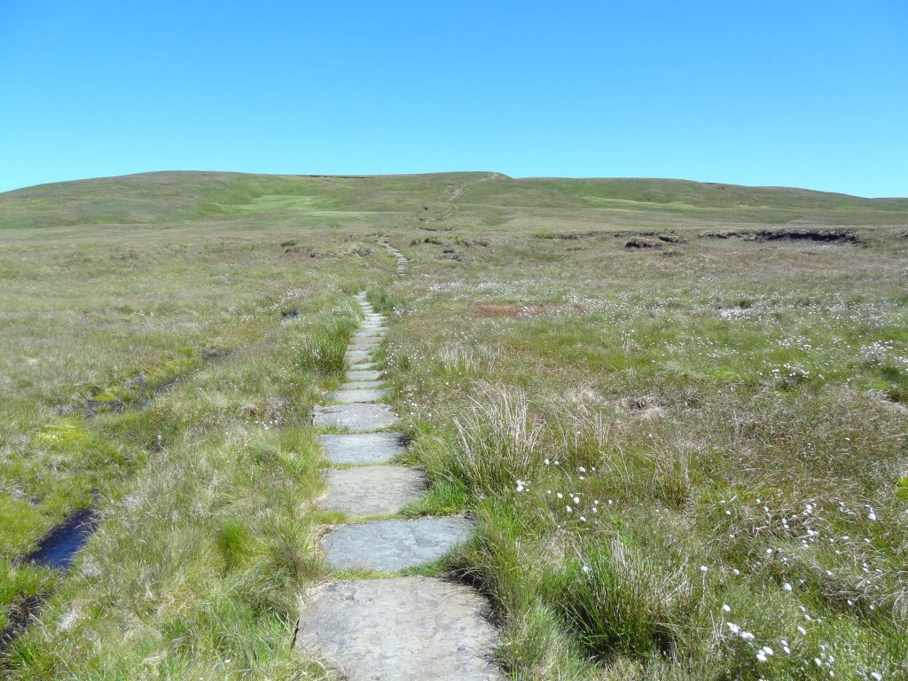
The fence line path between Great Shunner Fell and Little Shunner Fell.

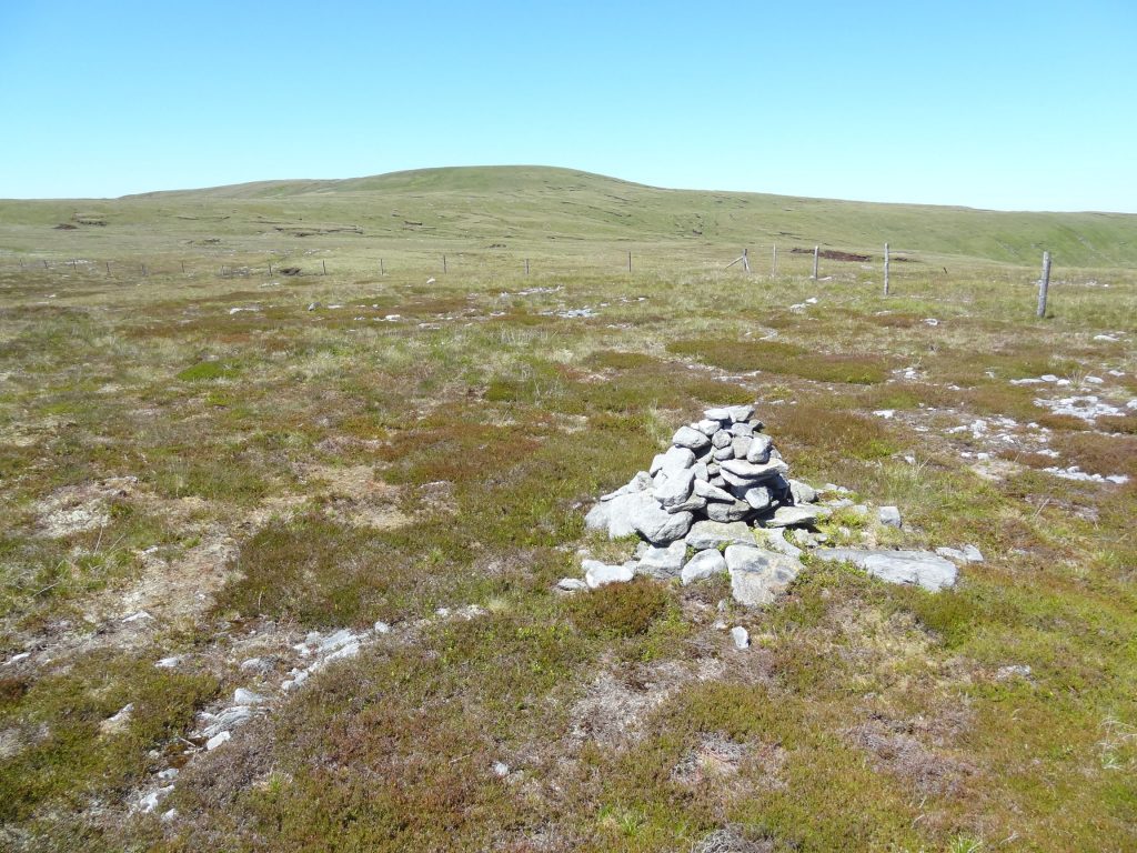
A rather underwhelming cairn marks the summit of Little Shunner Fell, height 653 metres (2142 feet).
The view south from Little Shunner Fell towards Hardraw and Hawes.
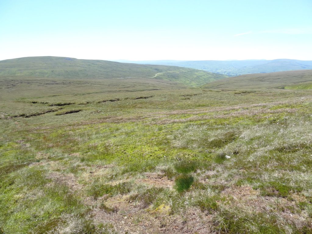
The view north-east from Little Shunner Fell towards Thwaite and Muker.
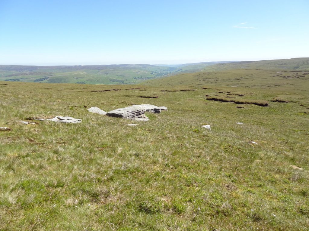
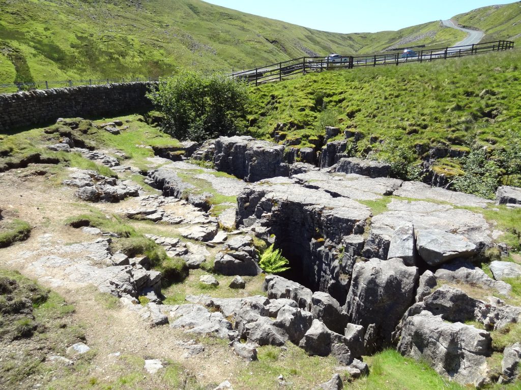
Looking down on Cliff Gate Road and the location of Butter Tubs.

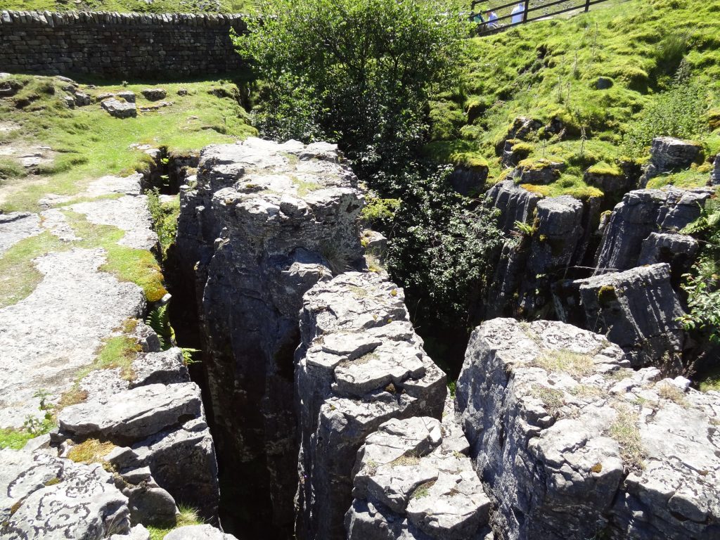
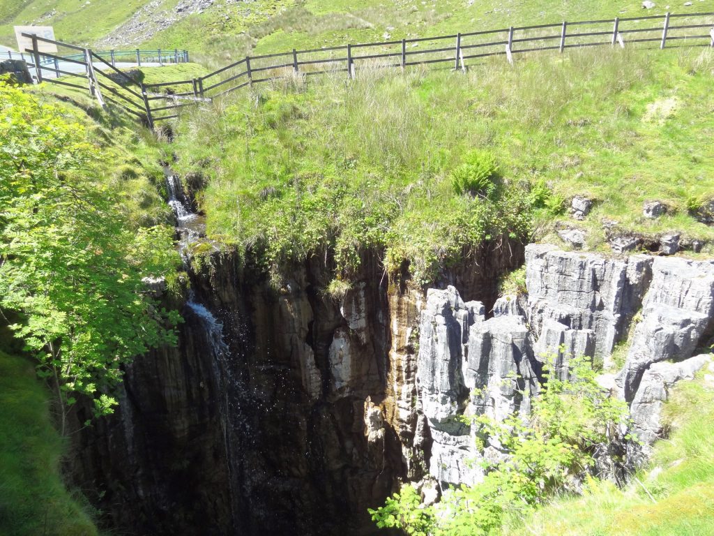
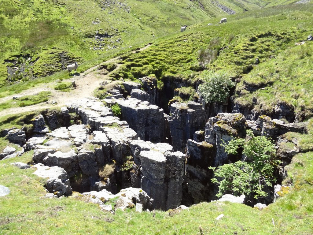
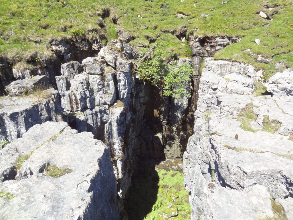
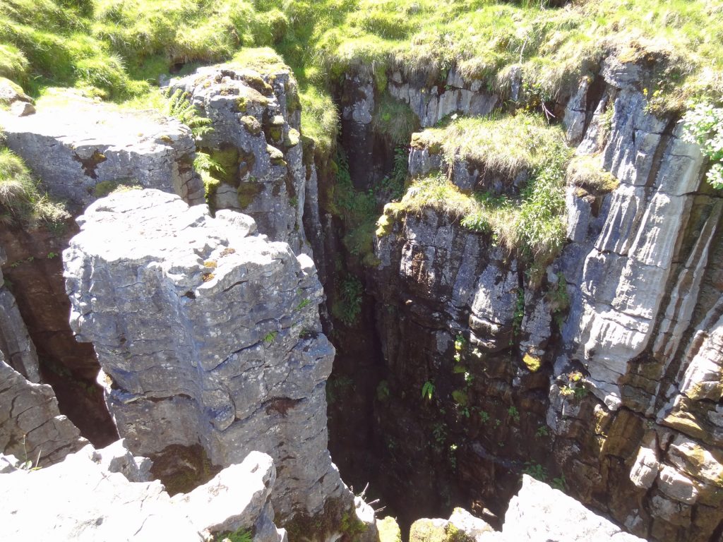
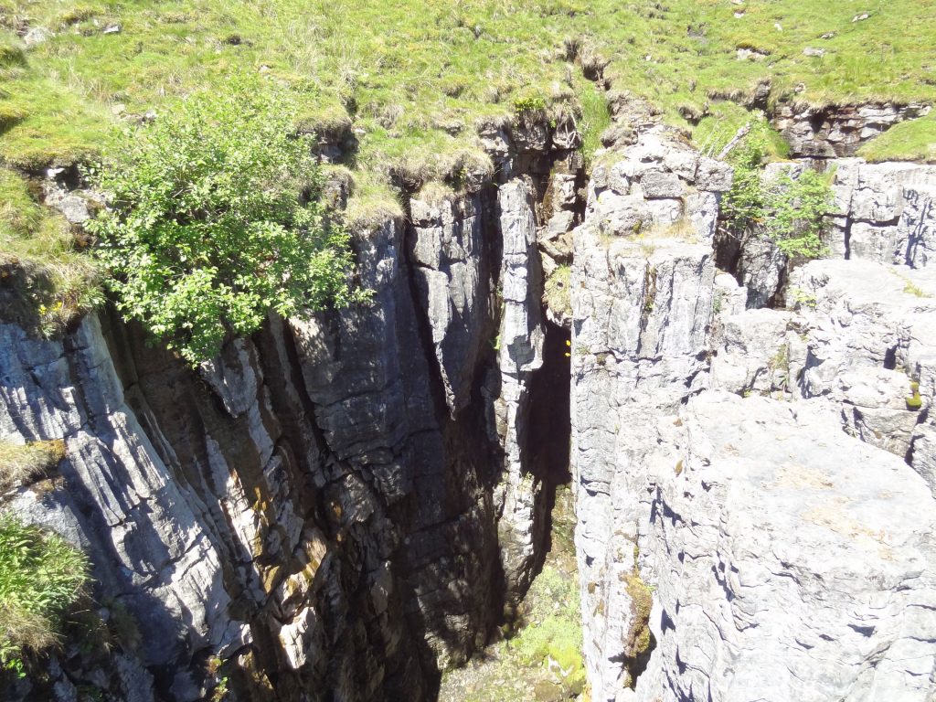
Butter Tubs
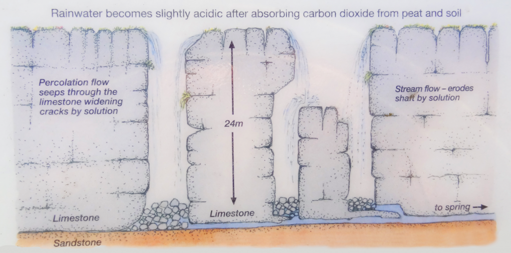
The Yorkshire Dales is famous for its limestone scenery. At Butter Tubs, over thousands of years, slightly acidic water has eaten away the 325-million-year-old carboniferous limestone rock to create these weird shafts with their distinctive fluted edges.
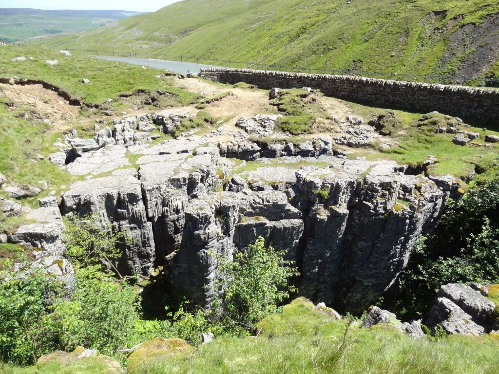
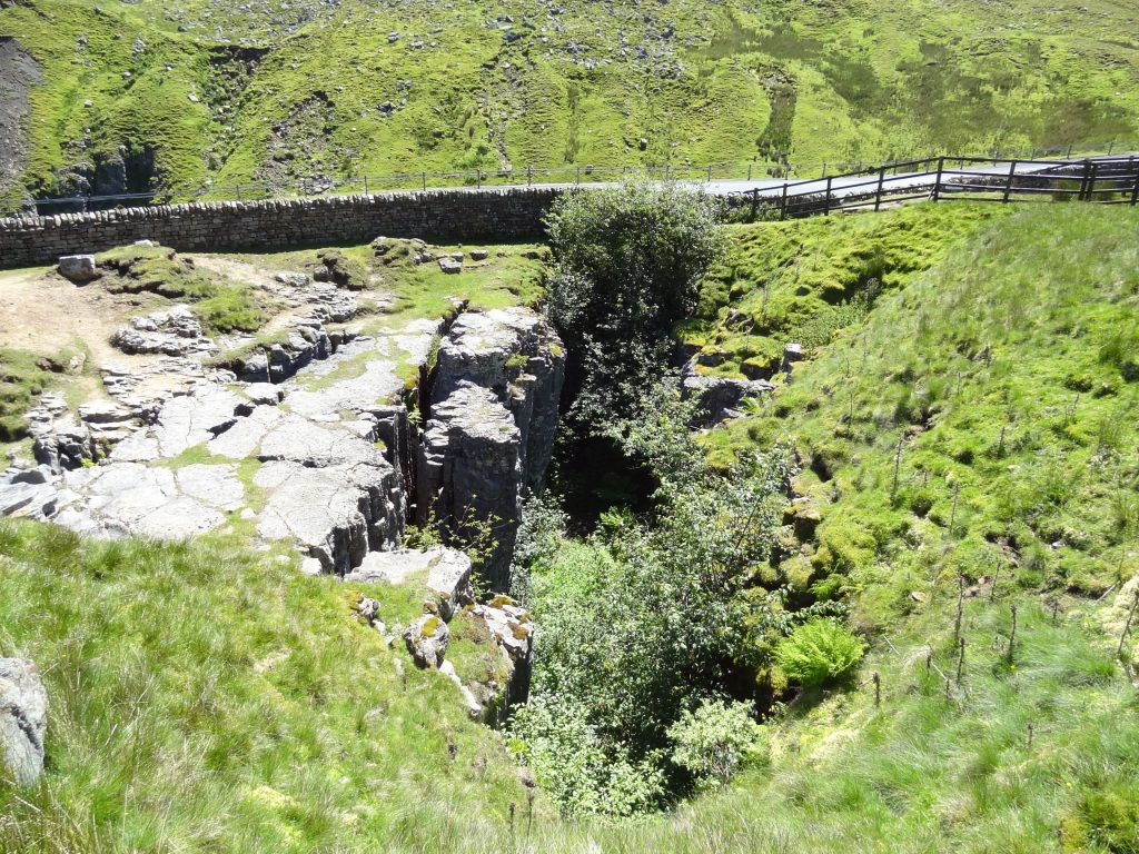
Rainwater seeps into natural cracks (faults and joints) in the rock and over time the cracks have grown into the vertical shafts or potholes we see today. Some of the potholes are up to 24 metres deep and still growing as water continues to trickle into them.
There are various theories about the name given to the site. The most popular is that the potholes were once used as a coolstore for butter carried from farms in Swaledale over to the market at Hawes.
Returning past the potholes at the end of a long day at the market and faced with the steep drop to their farms in the valley below, the farmers probably didn’t fancy hauling the butter home only to have to clamber back up the fell with it the next market day. The cool depths of the potholes would have made a convenient fridge.
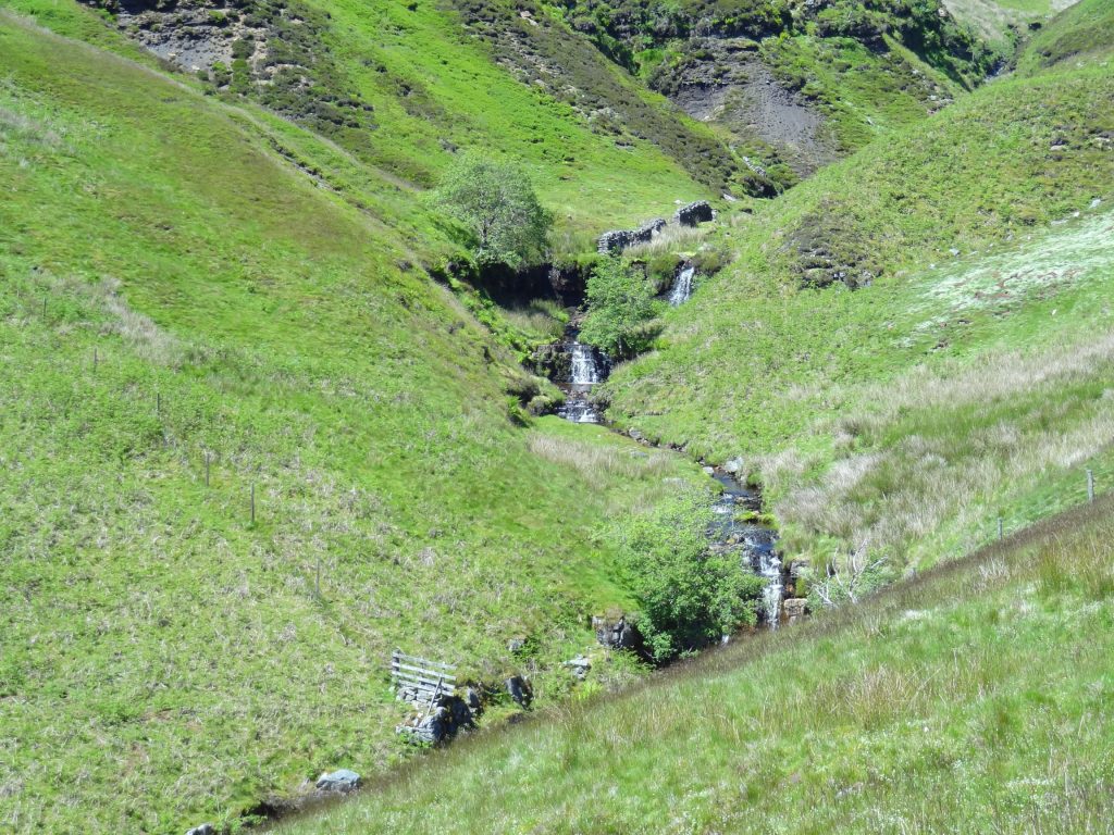
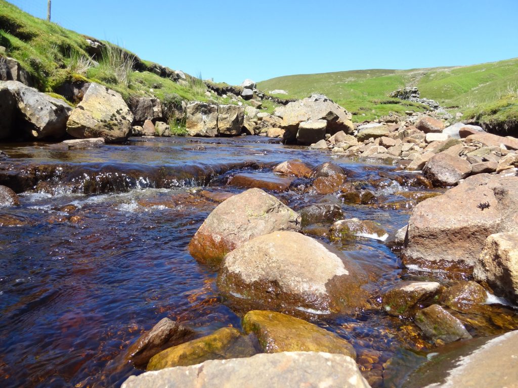
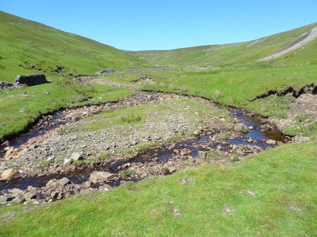
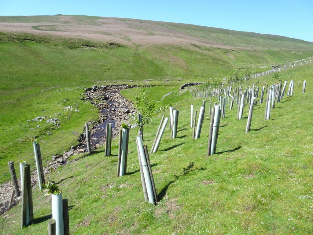
Cliff Beck flows north-east through the valley towards Thwaite. It joins other streams to form Straw Beck which runs into the River Swale.
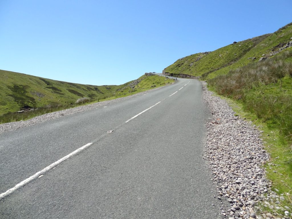
A spot of road walking could not be avoided just south of Butter Tubs.
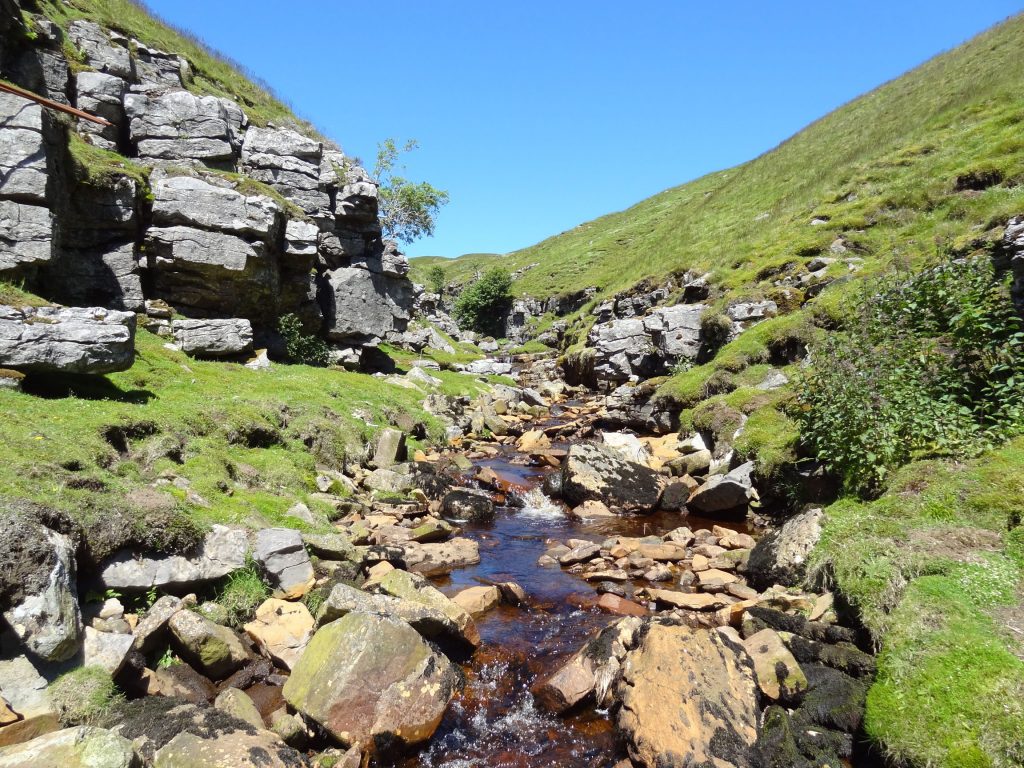
Fossdale Gill.
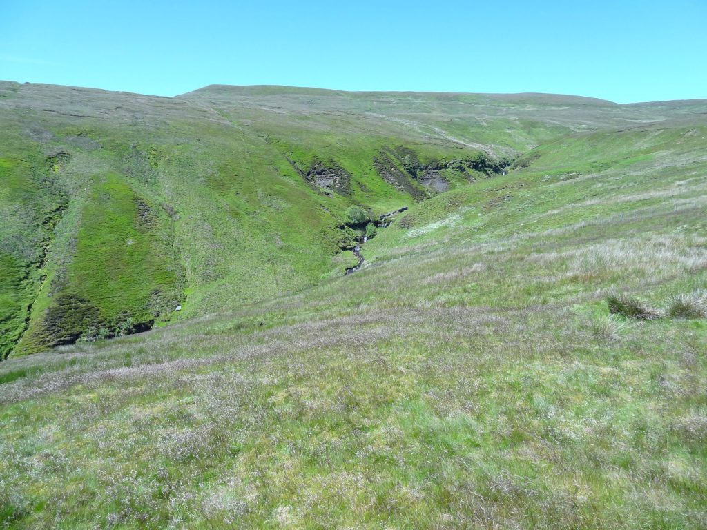
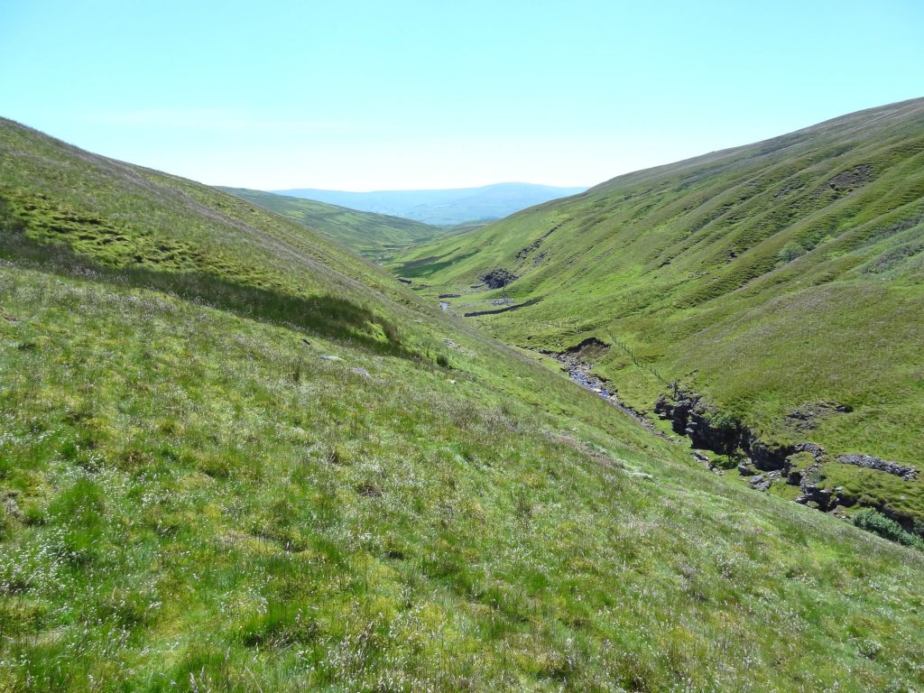
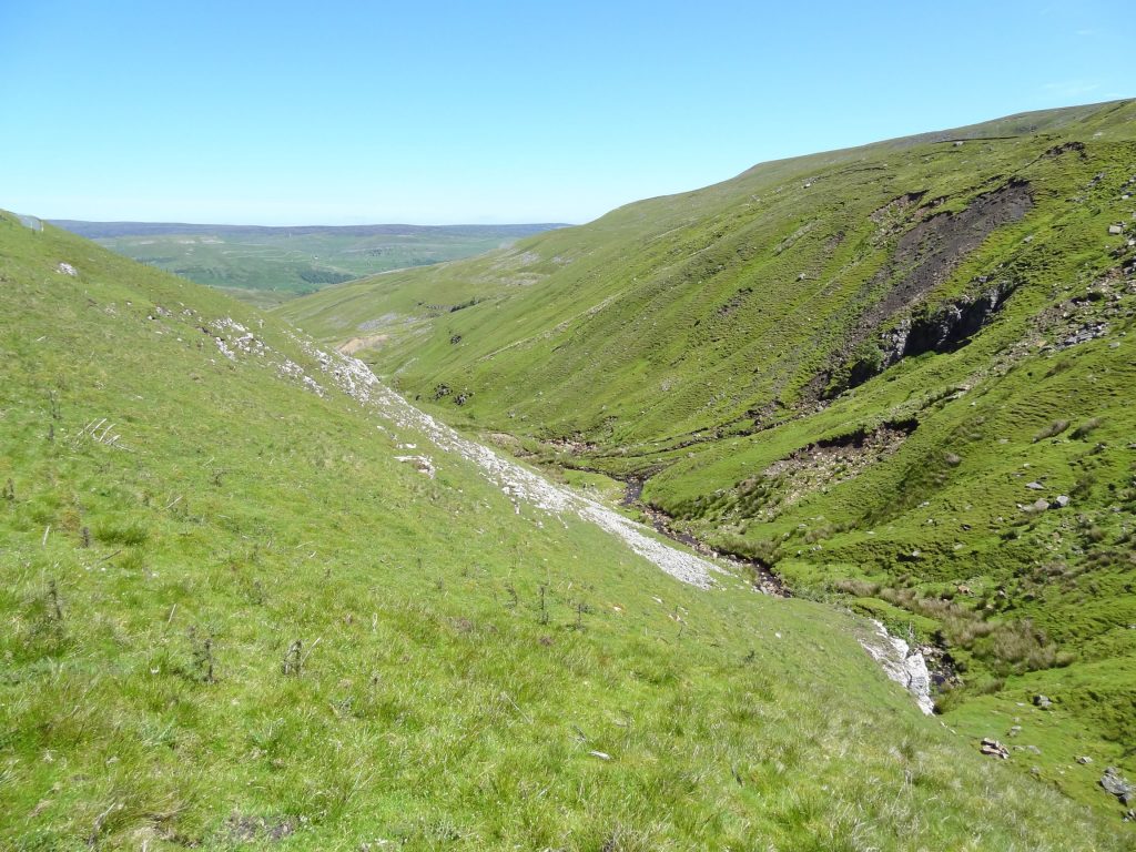
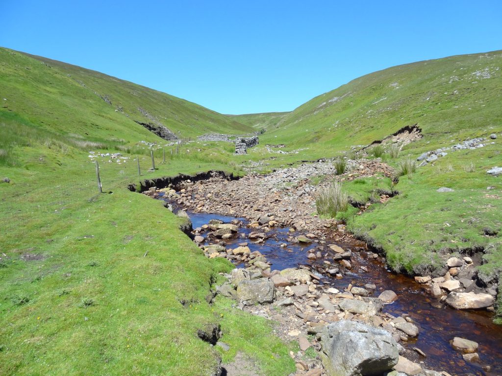
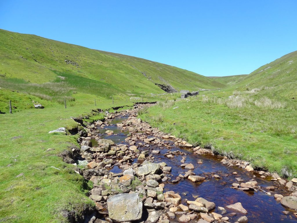
Fossdale
This beautiful valley is a hidden gem, and I would imagine it is rarely visited. There are no paths into or through the valley, but the 1½ mile stretch between Wofell Scar and Clough Wood is easy to walk along and absolutely delightful.
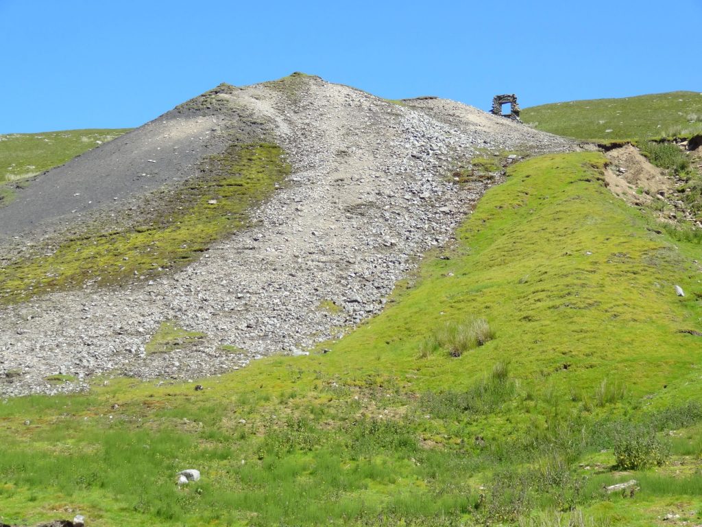
Disused lead mine and spoil heap.
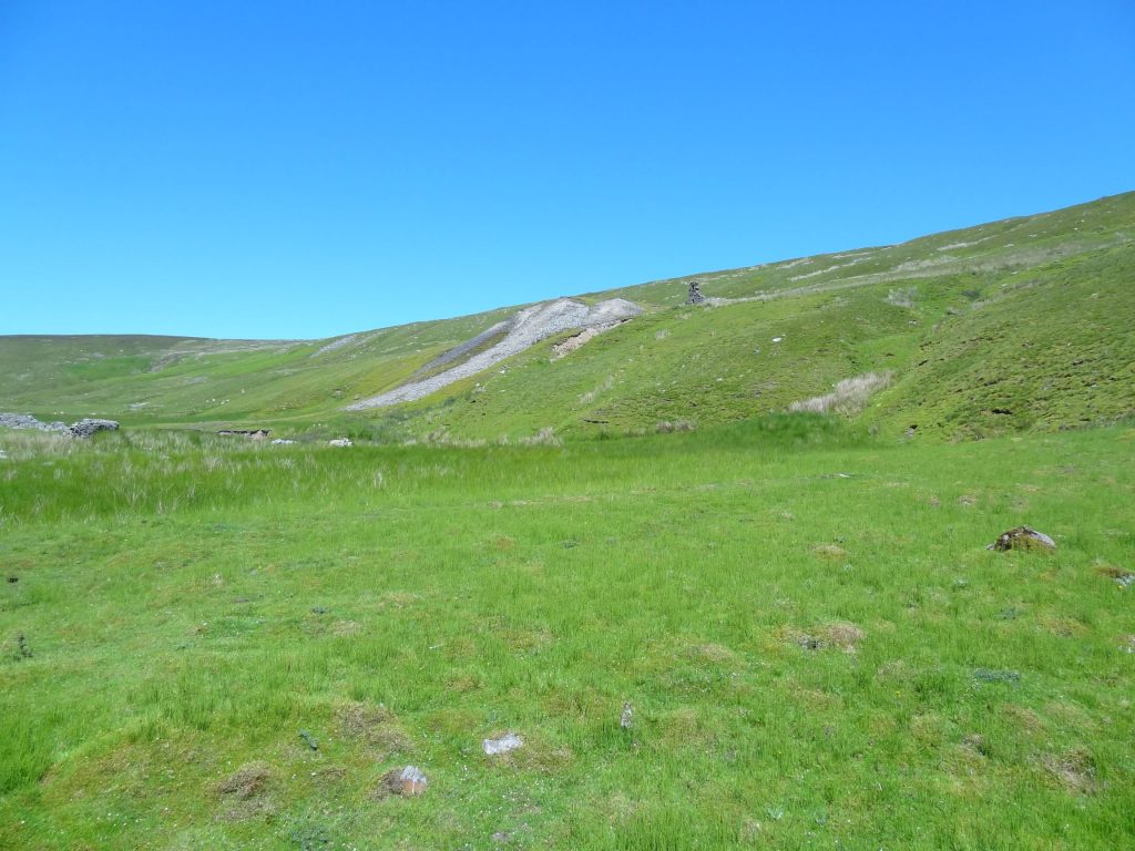
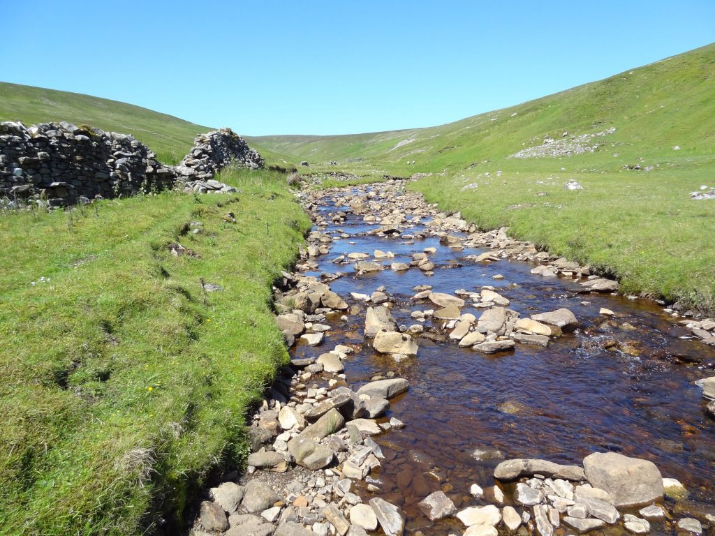
The picturesque valley of Fossdale.
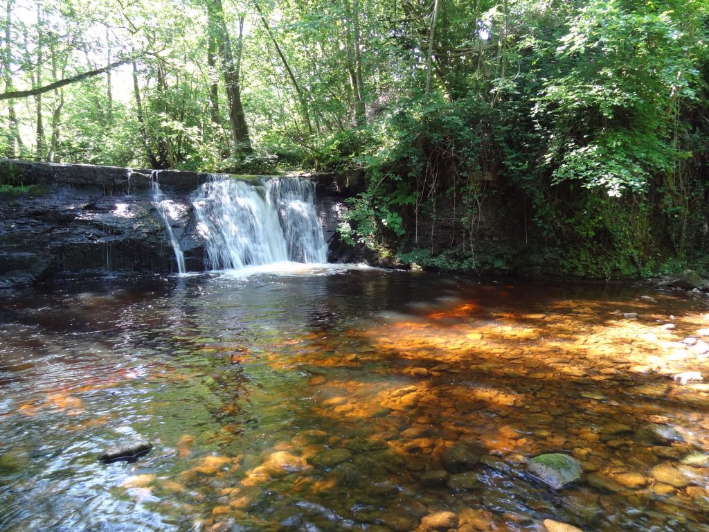
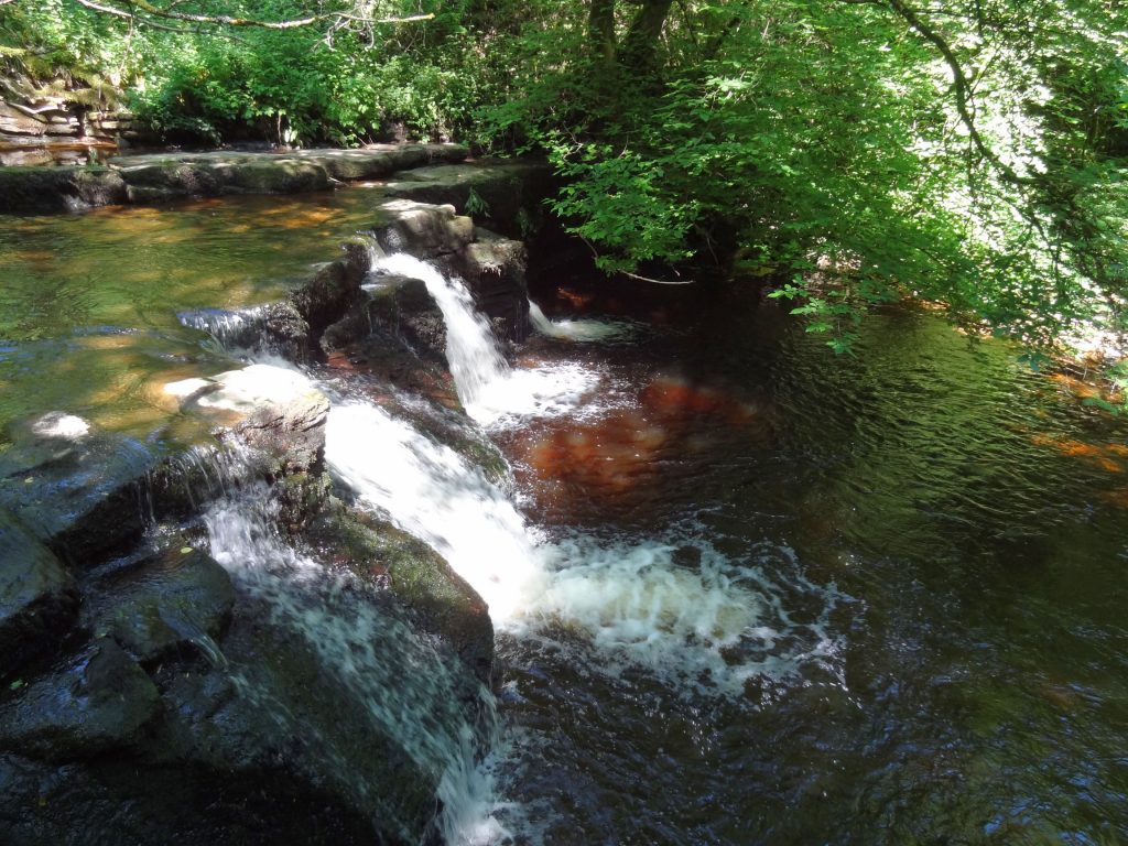
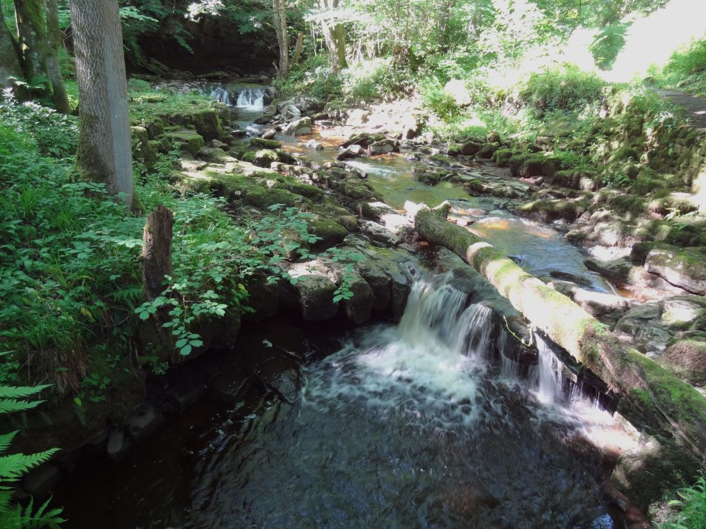
Waterfalls in Shaw Gill Wood, about one-third of a mile north of Hardraw.
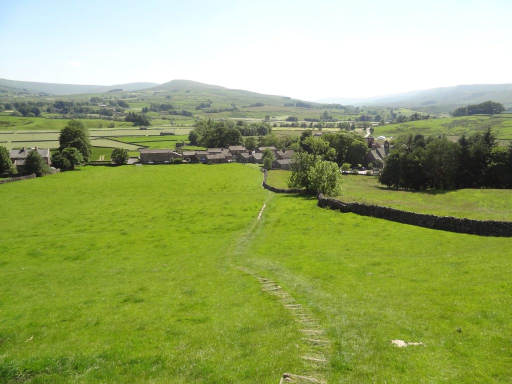
The path back down to Hardraw.