West from Robin Hood’s Bay to the village of Fylingthorpe then south by way of the Cinder Track to Ravenscar. A visit to Ravenscar beach via the steps leading from the golf course. North-west along the Cleveland Way to Stoupe Beck Sands, followed by a beach walk to Boggle Hole. Back to Robin Hood’s Bay, again using the Cleveland Way. A 10-mile walk along the Yorkshire Coast.
Recommended Ordnance Survey Map
The best map to use on this walk is the Ordnance Survey map of the North York Moors Eastern Area, reference OS Explorer OL27, scale 1:25,000. It clearly displays footpaths, rights of way, open access land and vegetation on the ground, making it ideal for walking, running and hiking. The map can be purchased from Amazon in either a standard, paper version or a weatherproof, laminated version, as shown below.
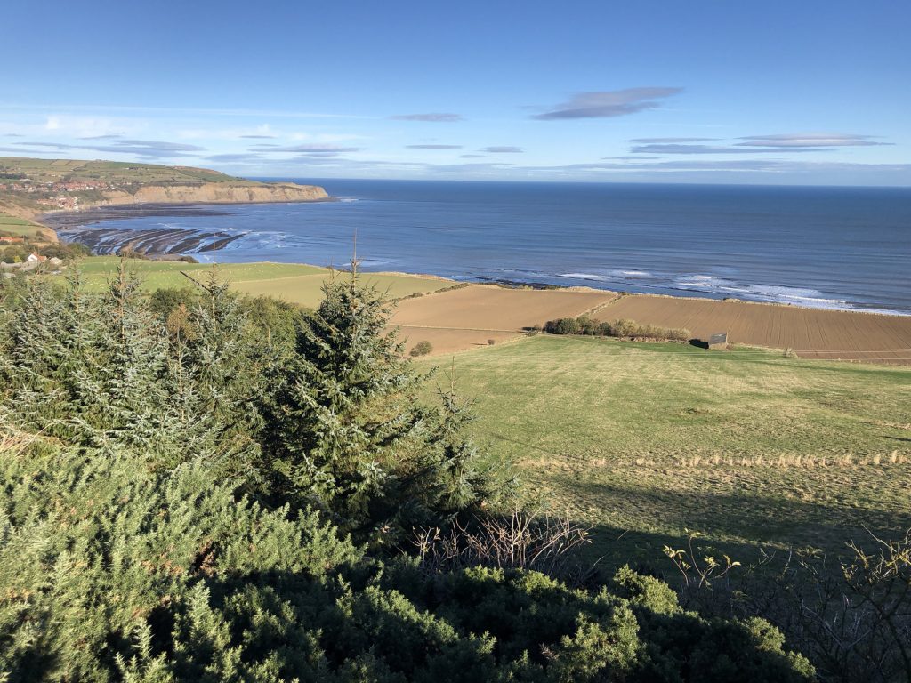
The view north towards Robin Hood’s Bay from the Cinder Track dismantled railway line below Stoupe Brow.
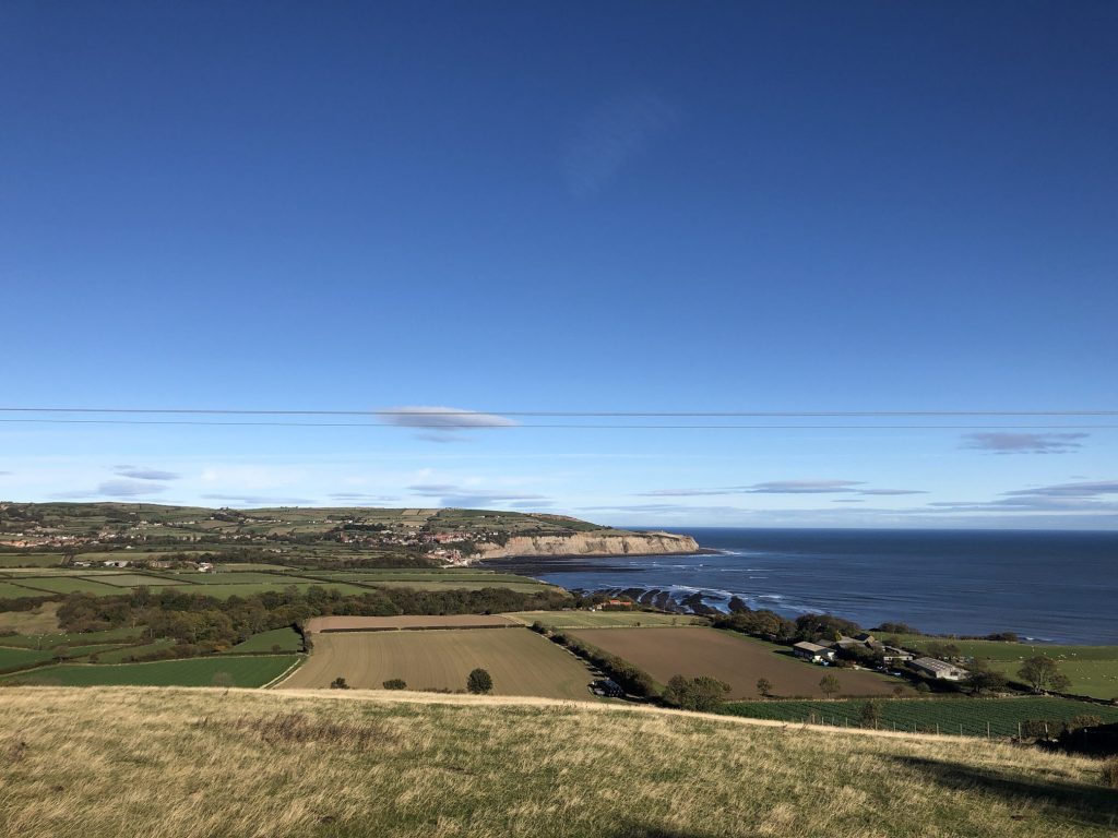
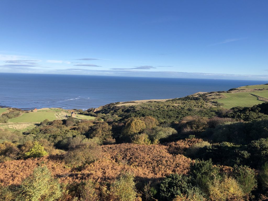
The view of the Ravenscar coastline just north of the village. The old Peak Alum Works is situated on the grassy field middle left of the photograph.
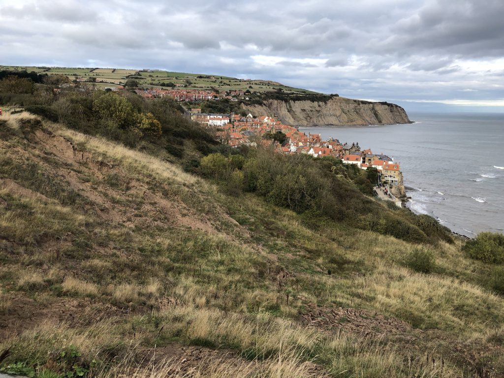
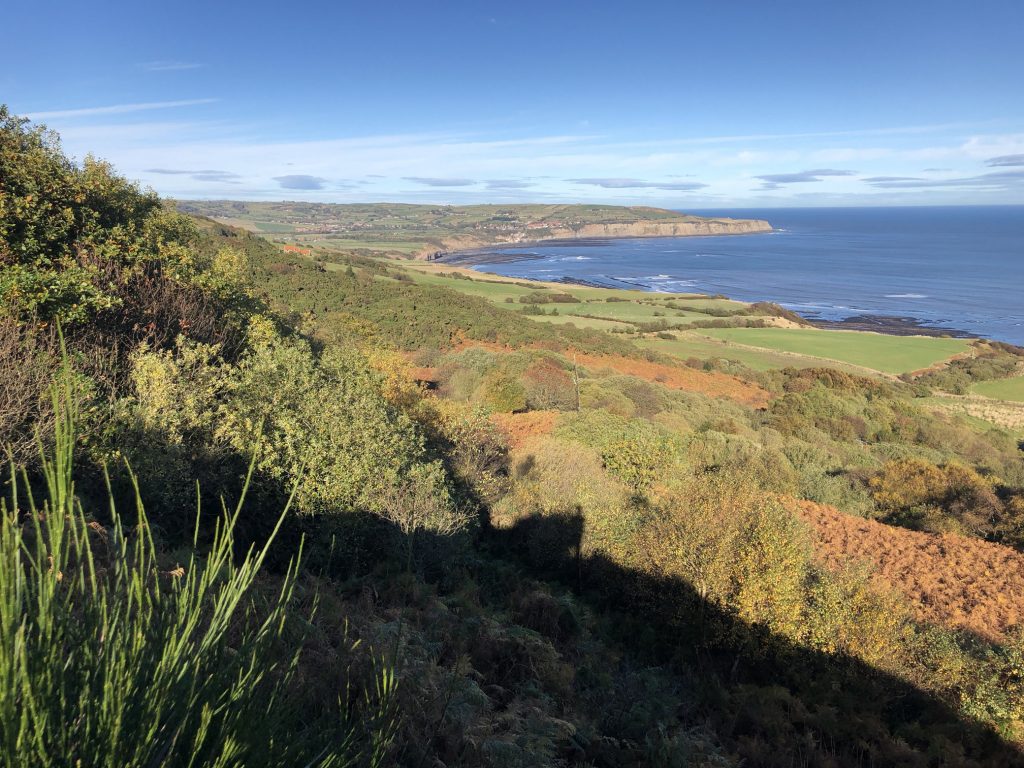
Robin Hood’s Bay as seen from Ravenscar.
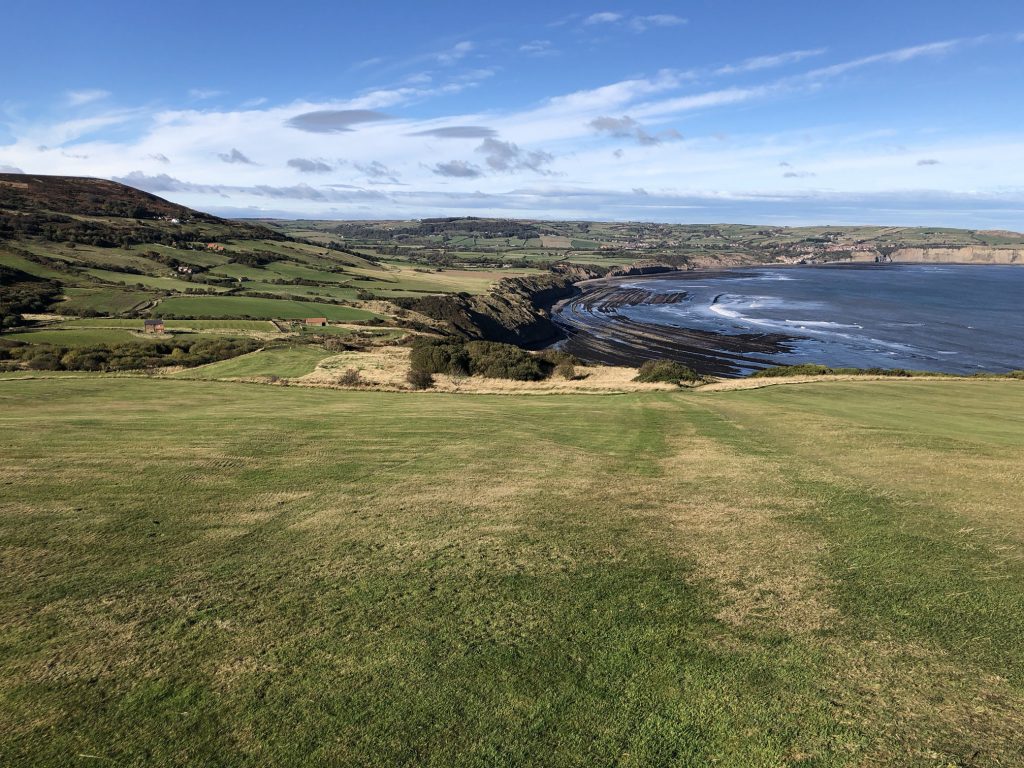
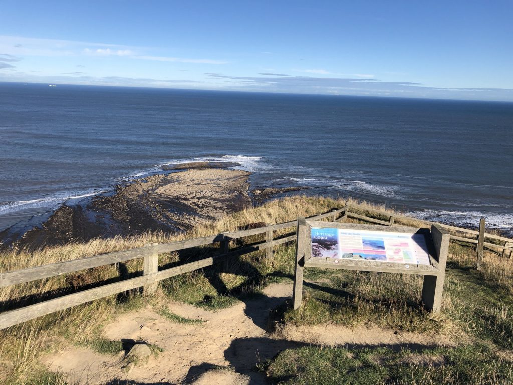
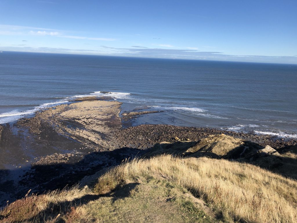
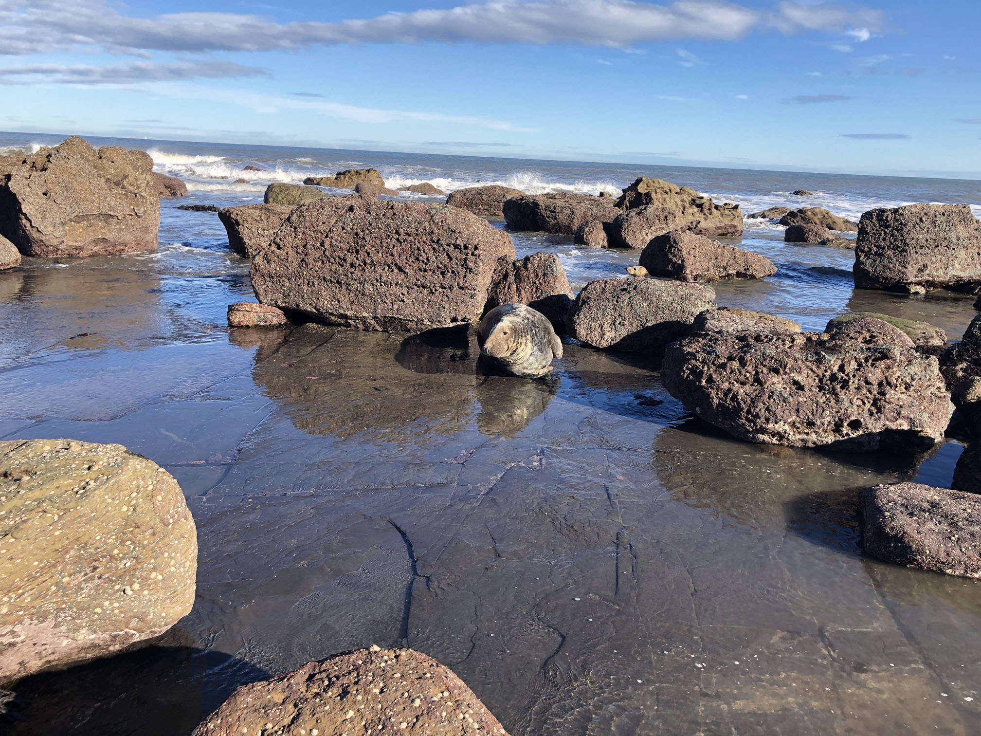
Looking down at the Peak Steel wave-cut platform protruding out to sea. It is visible only at low tide.
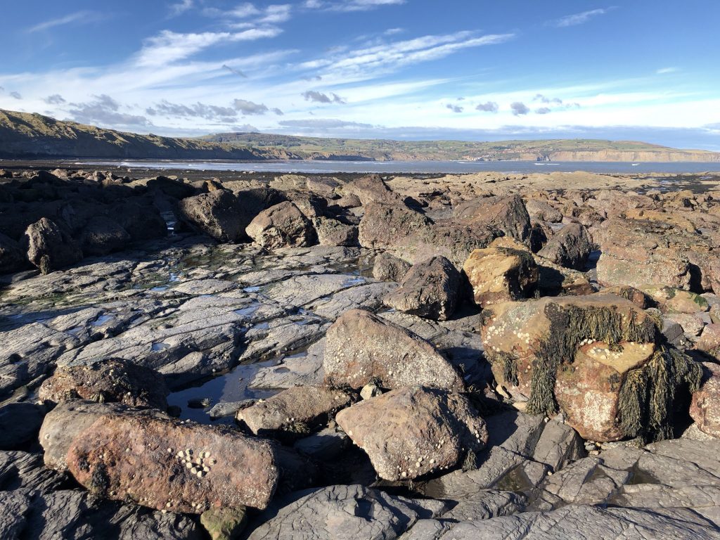
The beautiful rocky beach beneath the cliffs at Ravenscar.
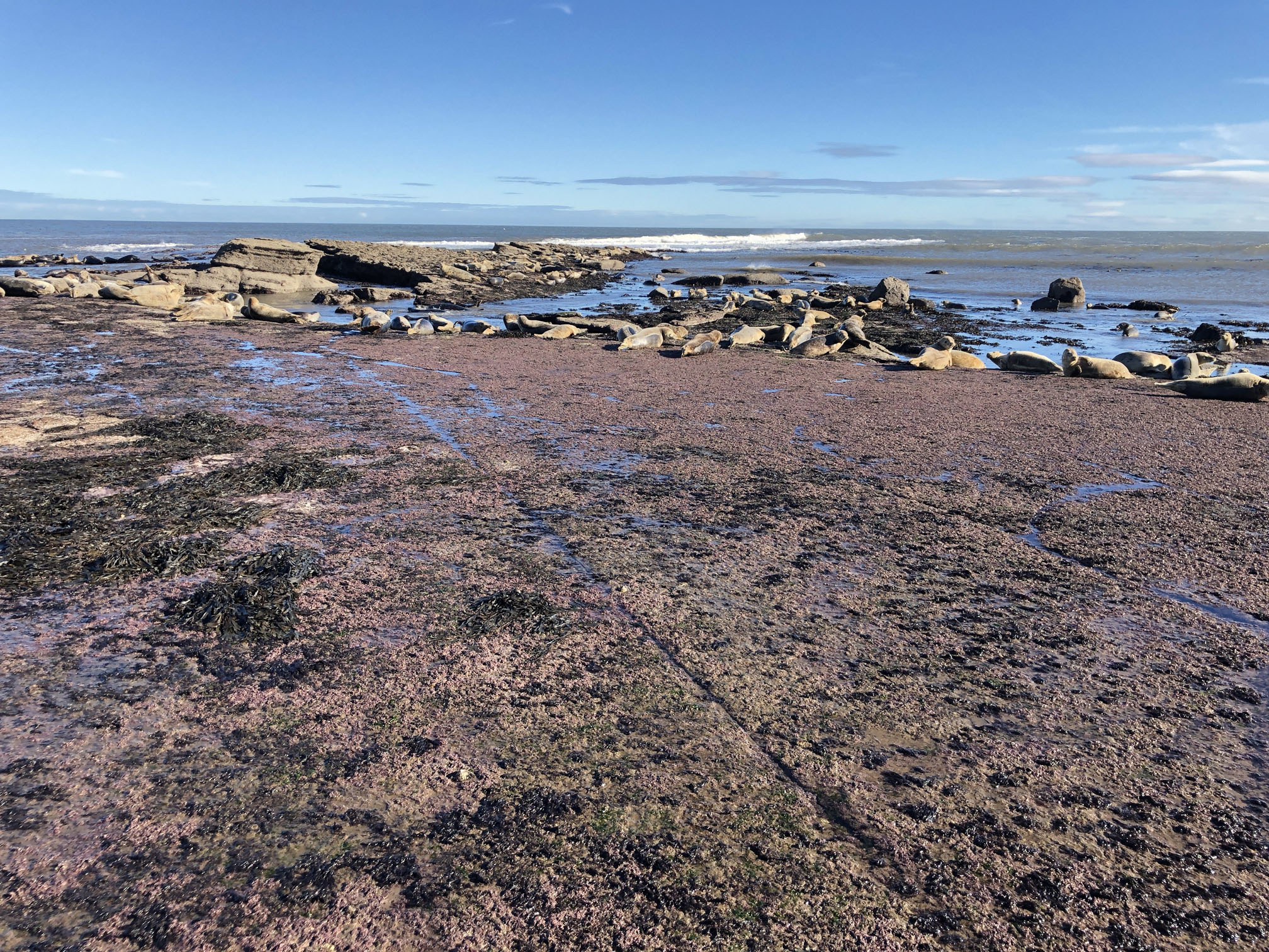
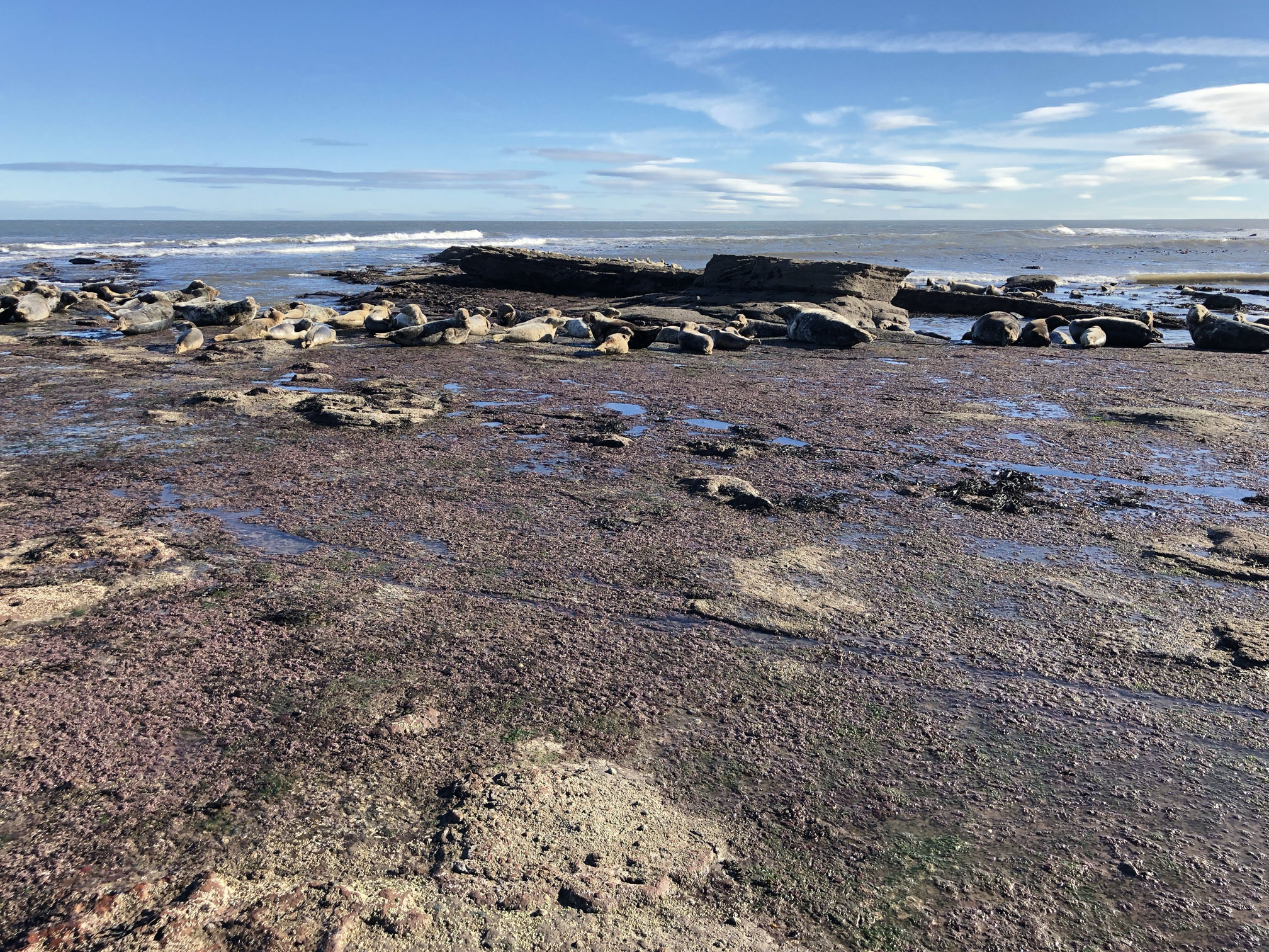
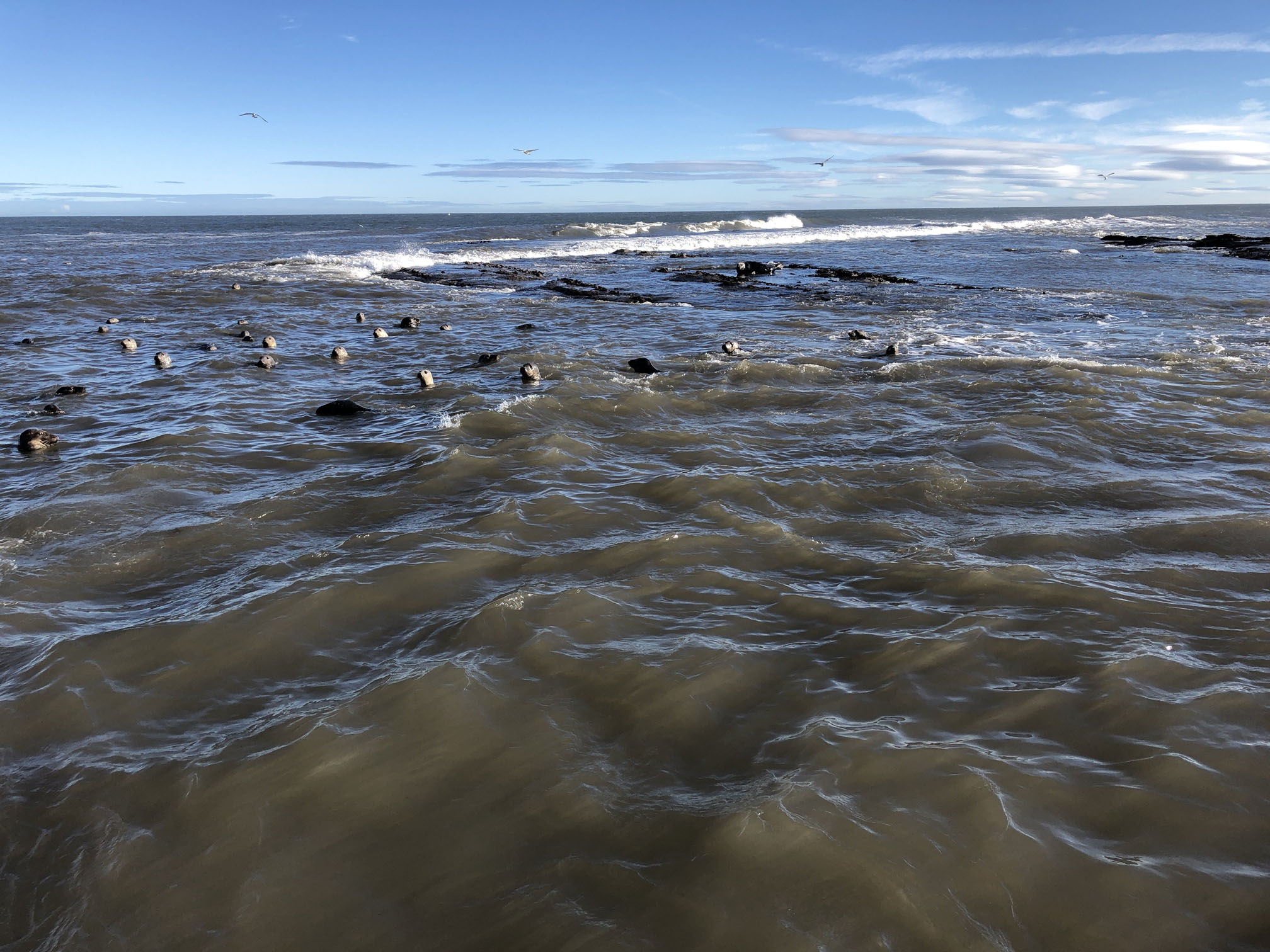
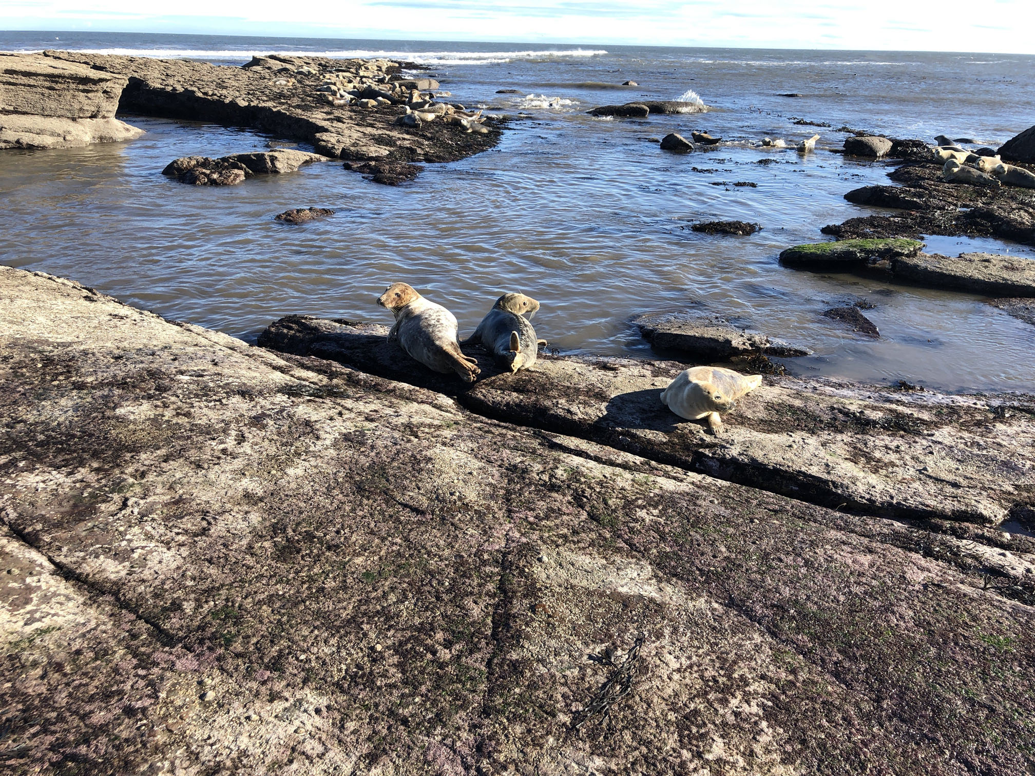
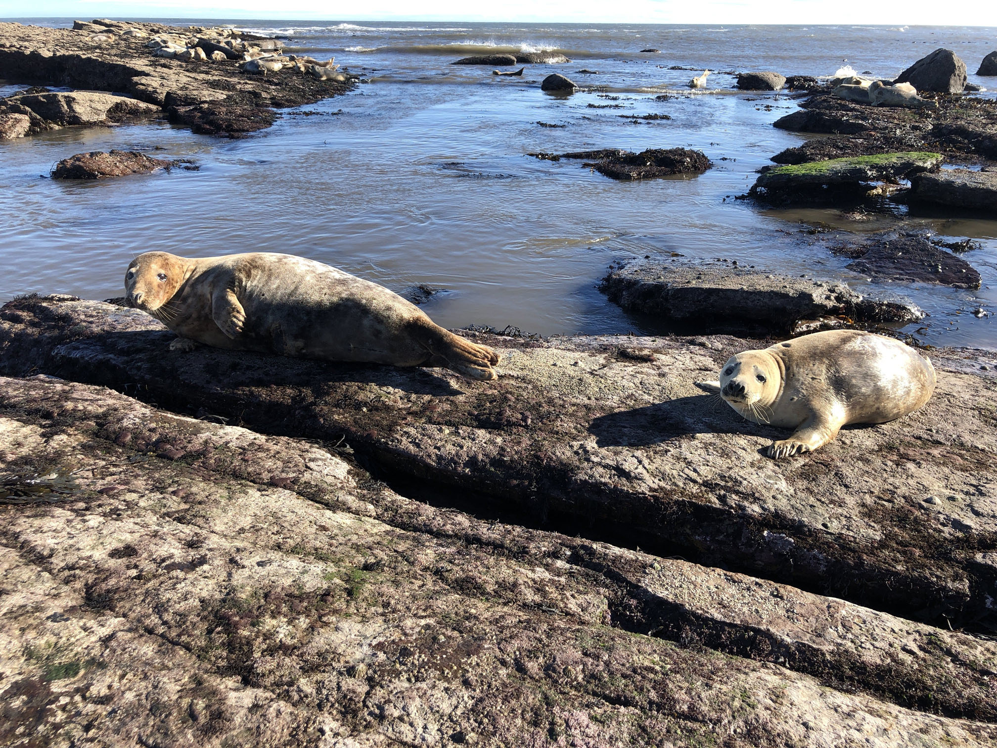
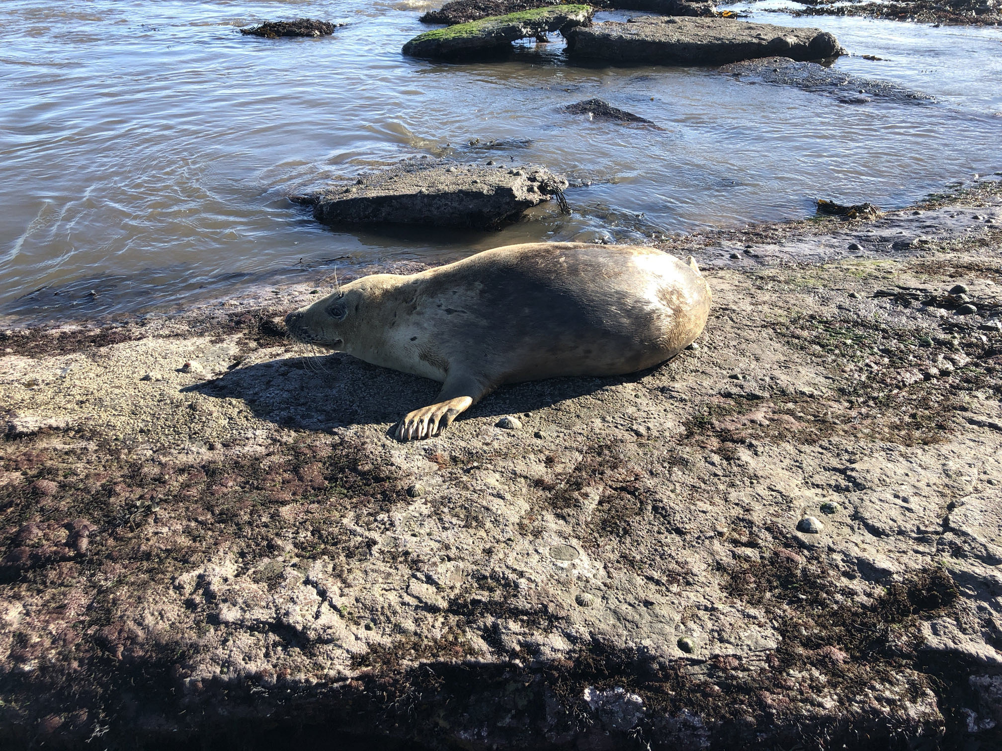
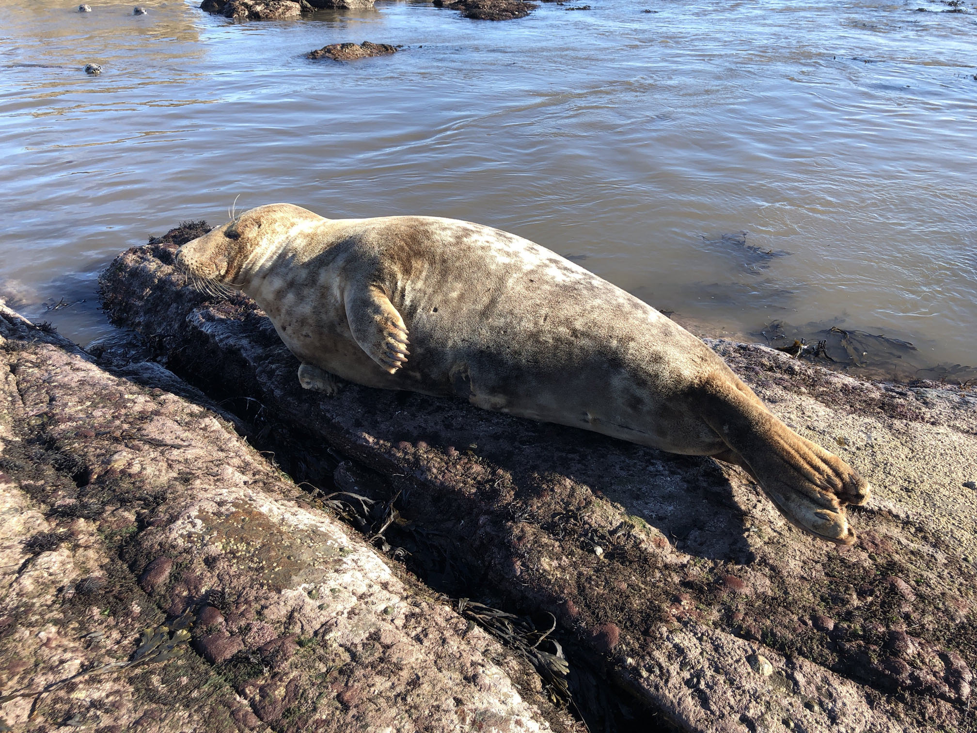
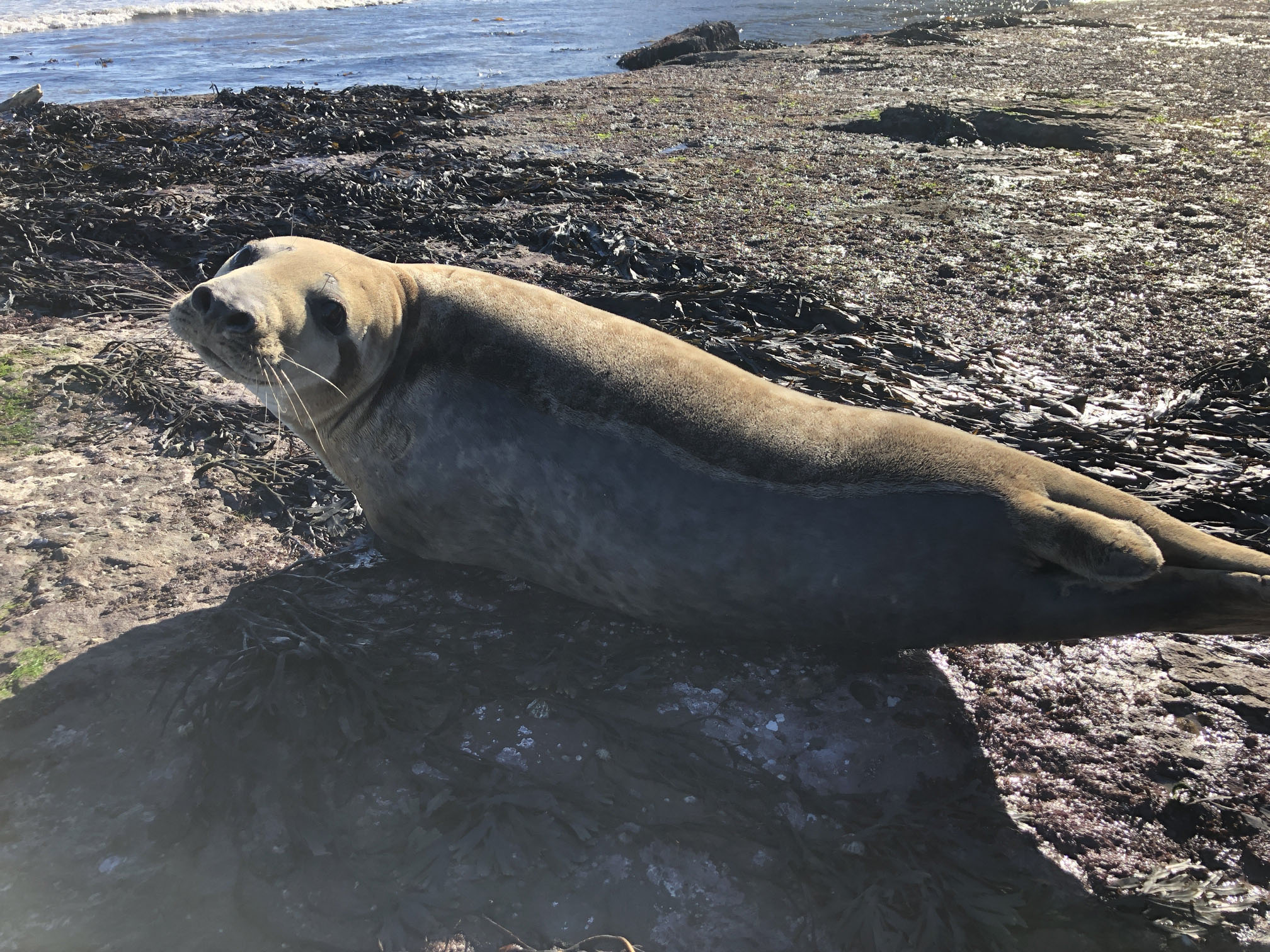
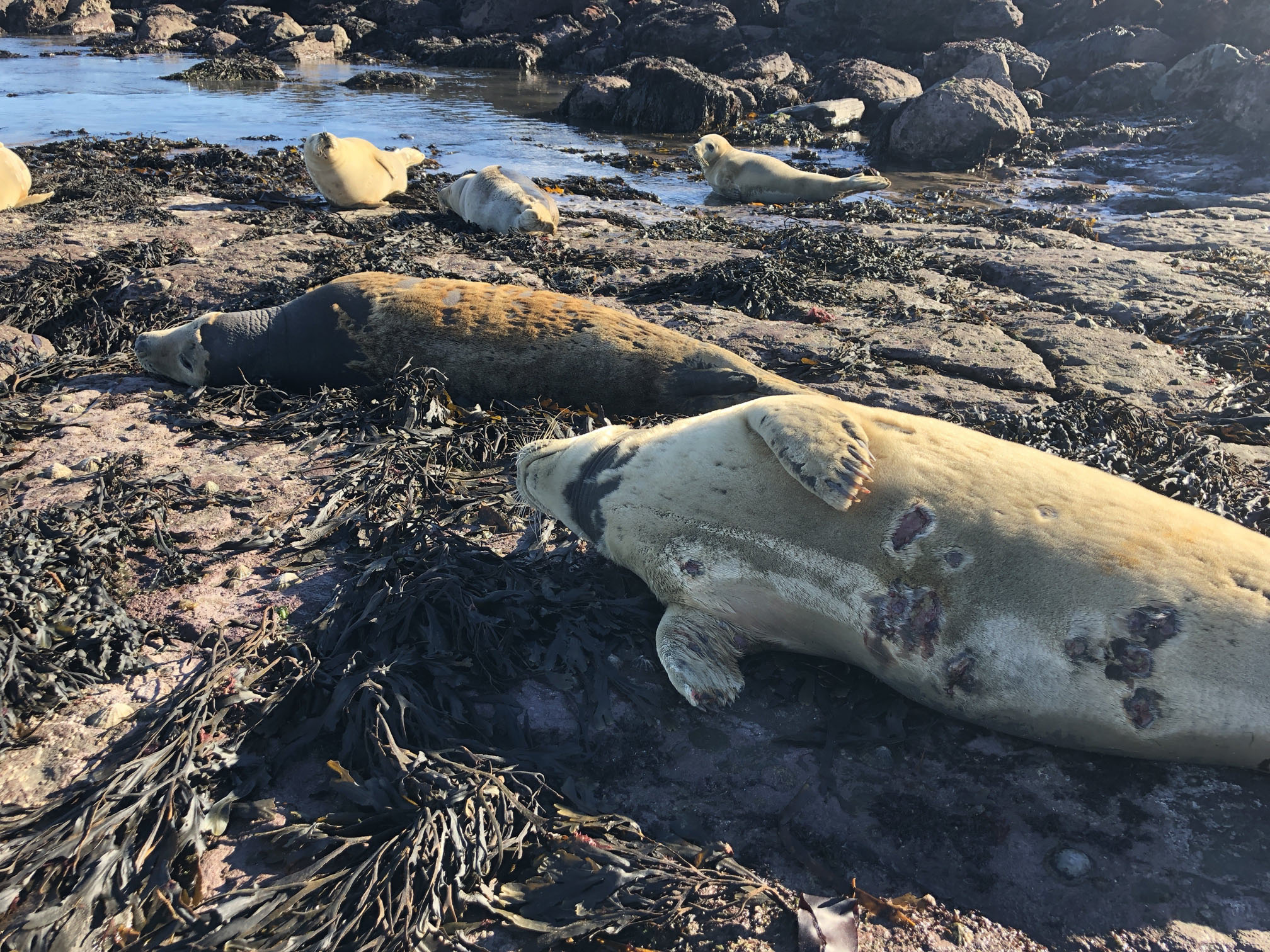
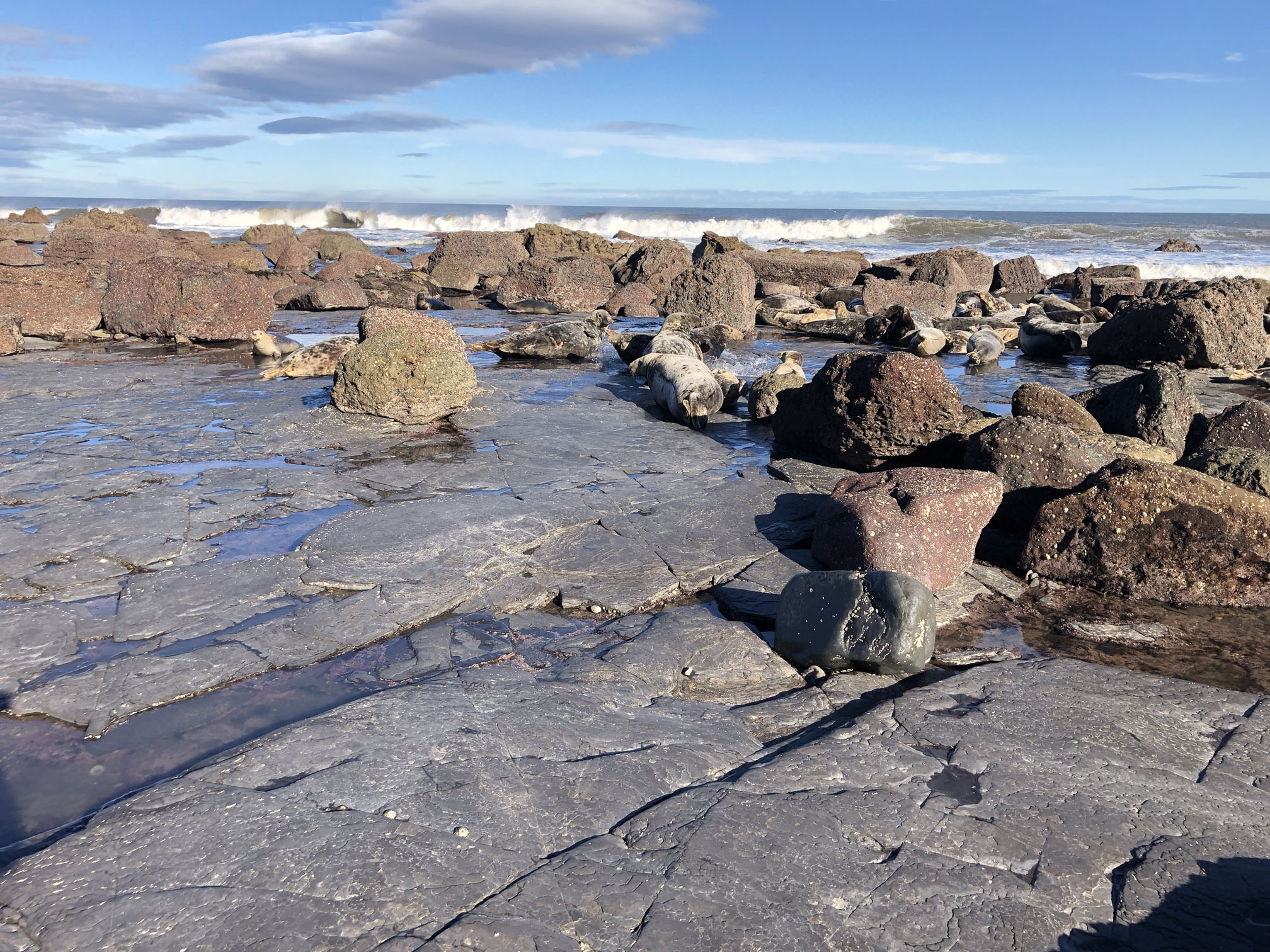
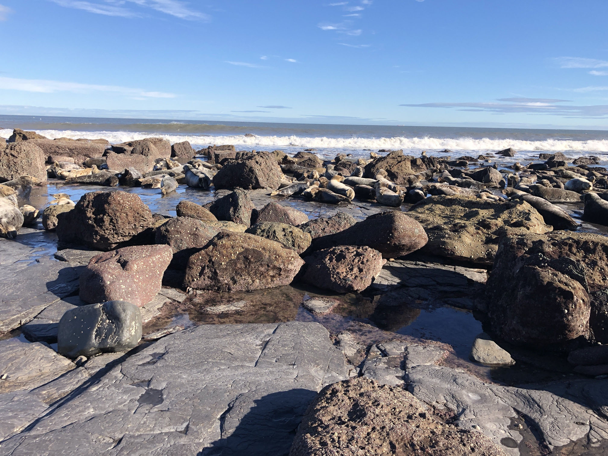
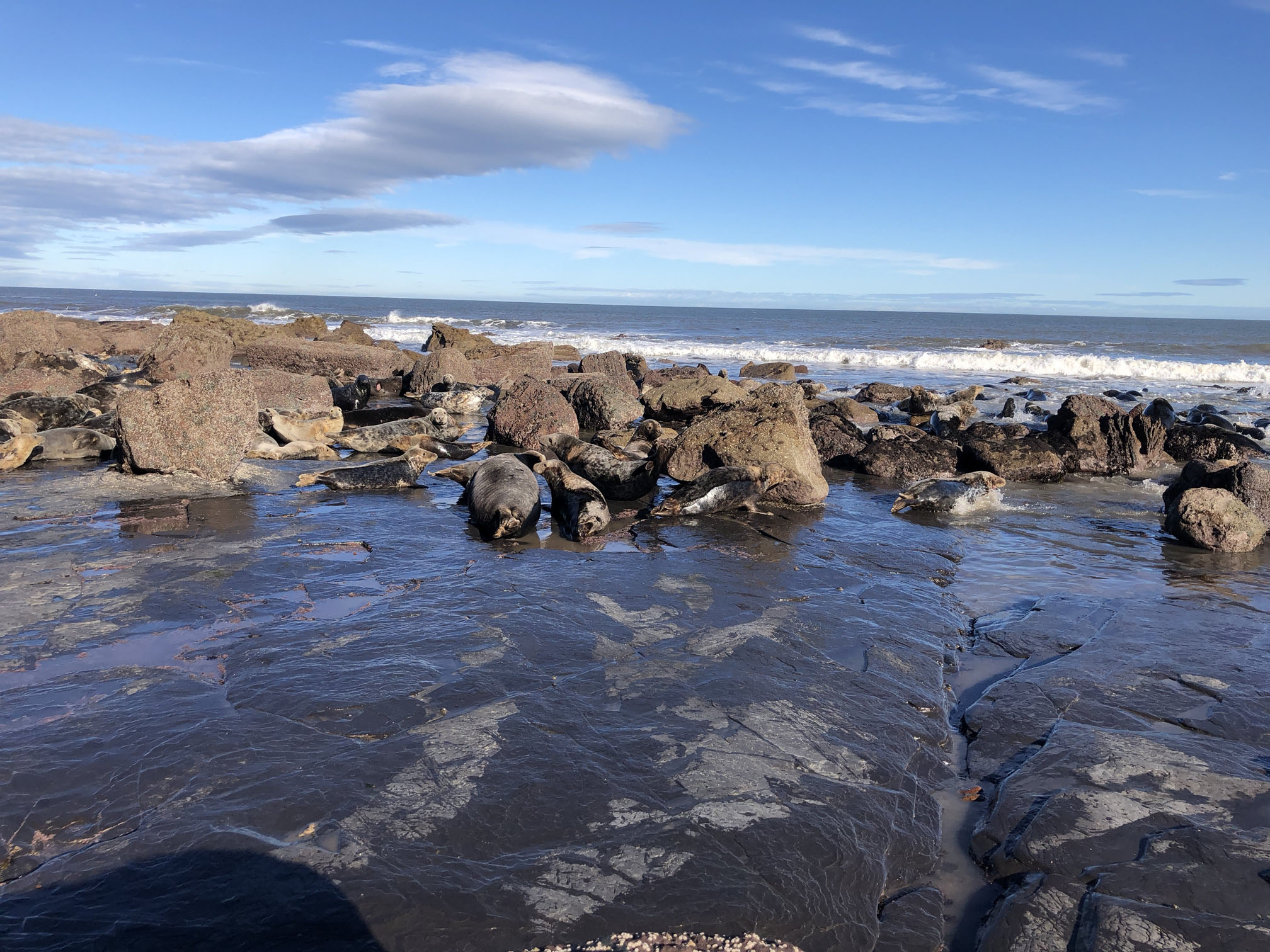
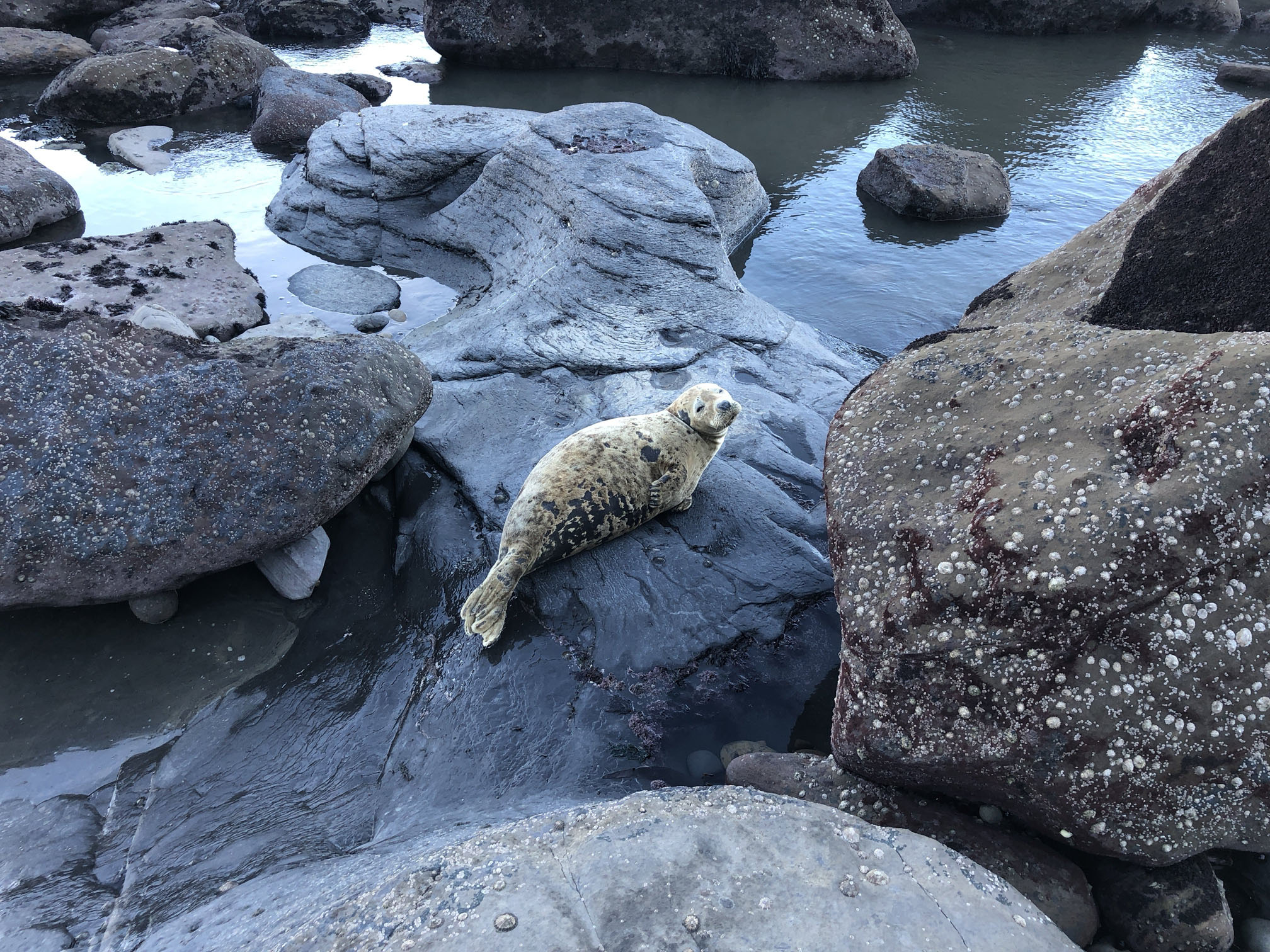
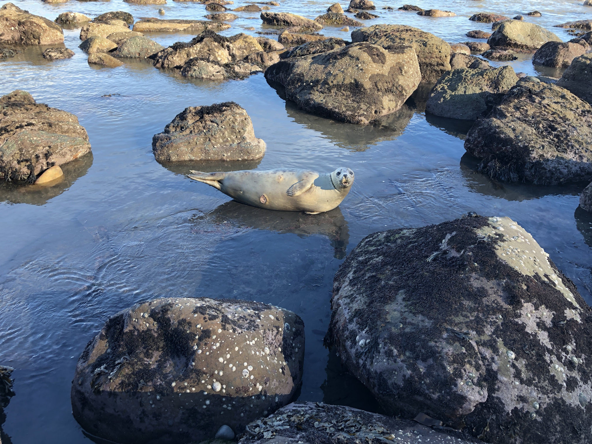
Ravenscar is lovely at any time of the year, but I particularly like to go in November, and I plan my arrival to coincide with low tide. A steep path leads from the golf course down to the bottom of the dramatic cliffs, and what follows is amazing. Dozens, possibly hundreds, of seals lying on the exposed rocky beach and plenty more in the sea.


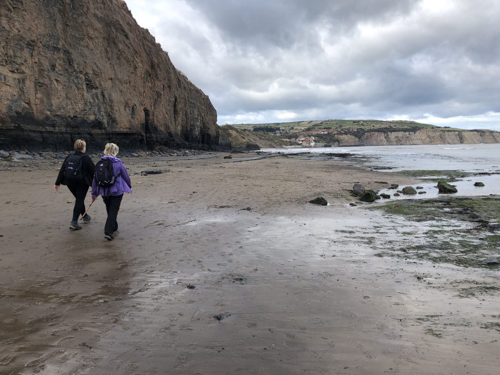
Stoupe Beck Sands, just south of Boggle Hole.
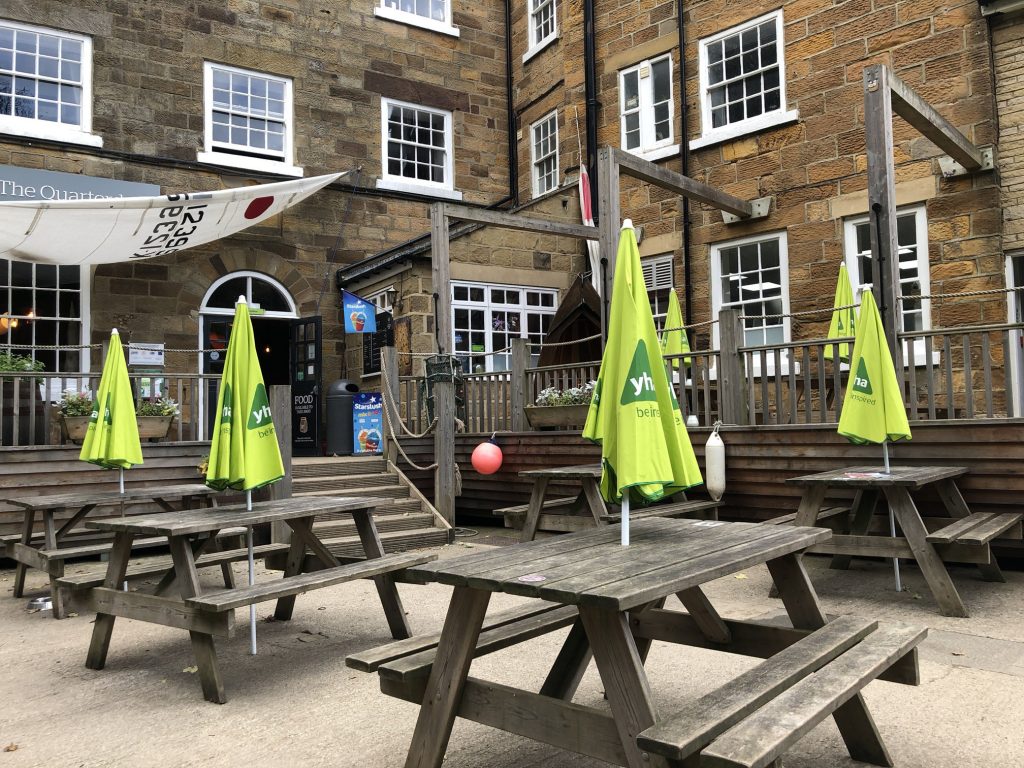
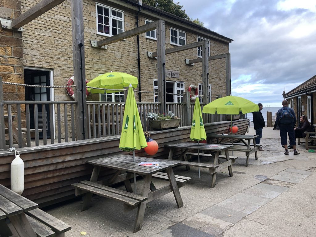
The Quarterdeck café at YHA Boggle Hole.
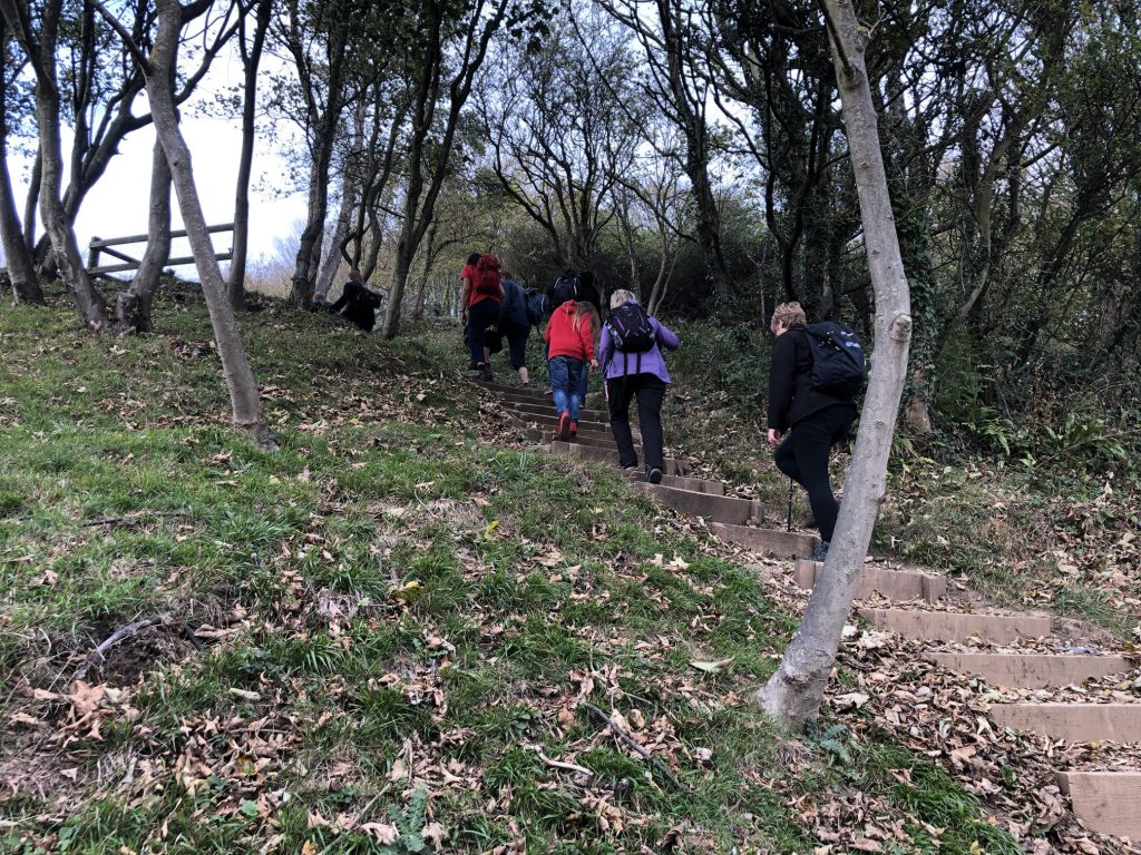
The steps above Mill Beck which enters the sea at Boggle Hole.
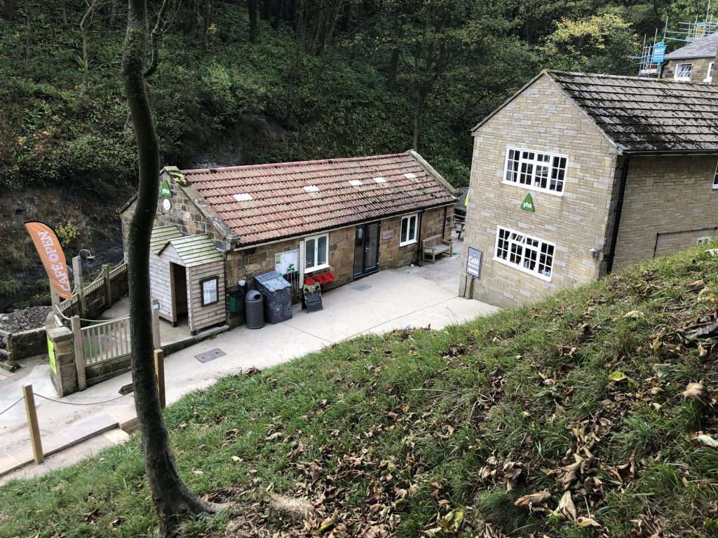
YHA Boggle Hole.
Robin Hood’s Bay.