Experience Old Mines and Tranquil Valleys on the Bowscale Tarn Walk
Begin your 11-mile Bowscale Tarn walk at the quaint hamlet of Bowscale. Head west, gradually ascending along the track towards Bowscale Tarn. Here, take a peaceful break, perhaps savouring a coffee from your flask. It’s a lovely place.
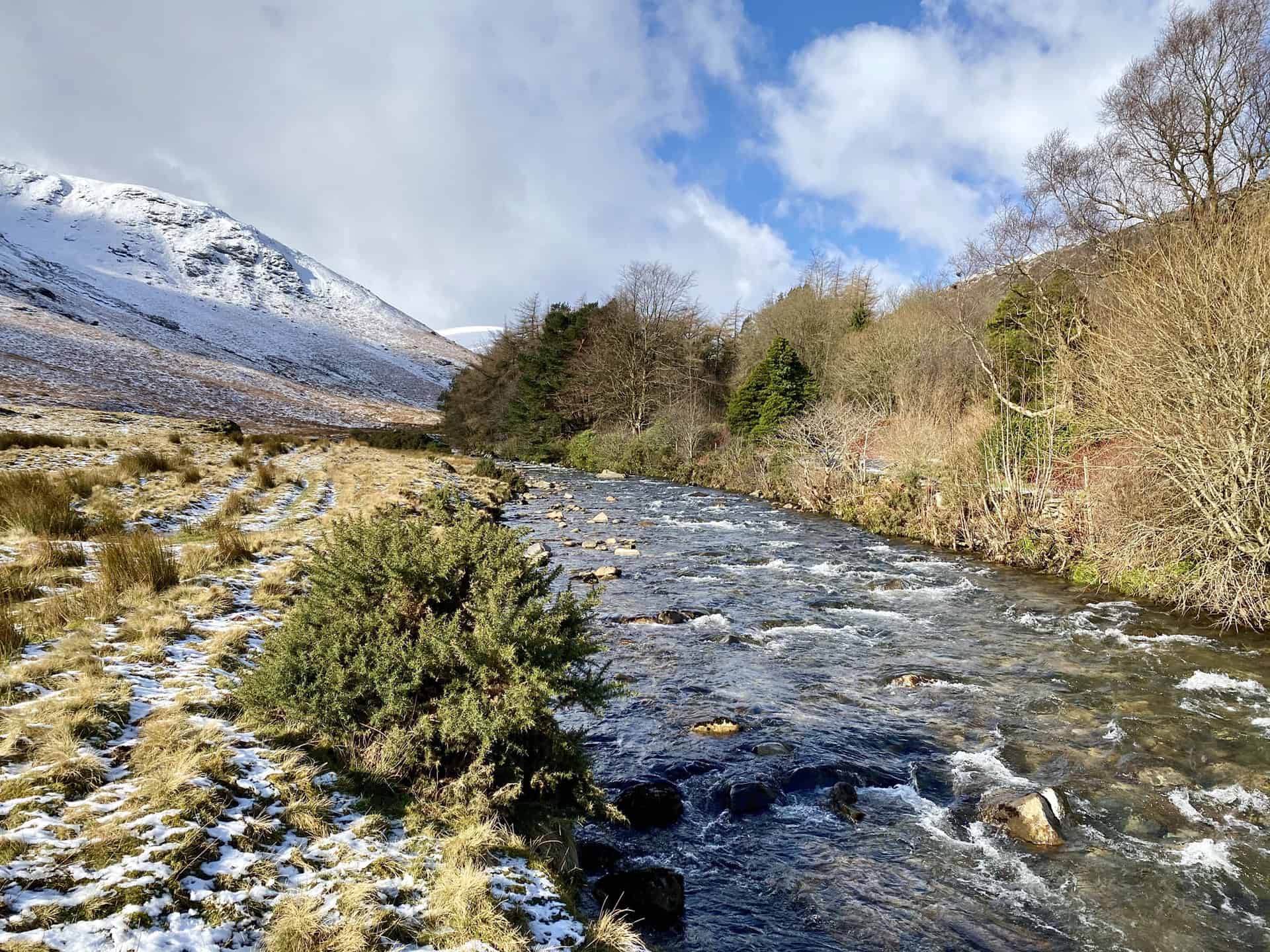
Embark on a steep descent towards Roundhouse, where you’ll find idyllic farm buildings. Continue west through the valley. Follow the rippling Grainsgill Beck, passing interesting old mine workings that whisper tales of the past.
Still ascending, join the renowned Cumbria Way. Trek northeast past Great Lingy Hill, then onwards to Hare Stones. From here, navigate northeast, passing High Pike. You’re on the right path as you travel east along Sunny Bank.
Descend to reach a minor road just south of Calebreck. Turn south on this road, marvelling at the towering slopes of Carrock Fell. Arrive at the picturesque village of Mosedale, where the rural charm of the Lake District truly shines.
Finally, complete your Bowscale Tarn walk by heading a little further south back to your starting point at Bowscale. This round route is perfect for a day-long adventure. It offers a rewarding mix of tranquil stops and engaging climbs – a walk that captures the heart of the Lake District.
Bowscale Tarn Walk: Maps and Tools
Visit either the OS Maps website or the Outdooractive website to view this walking route in greater detail. Both platforms offer a range of features, including the ability to print the route, download it to your device, and export the route as a GPX file. You can also watch a 3D fly-over and share the route on social media.
Bowscale Tarn Walk: Distance, Duration, Statistics
Distance: 11 miles
Distance: 18 kilometres
Duration: 5½ hours
Ascent: 2203 feet
Ascent: 671 metres
Type: Circular walk
About Bowscale Tarn
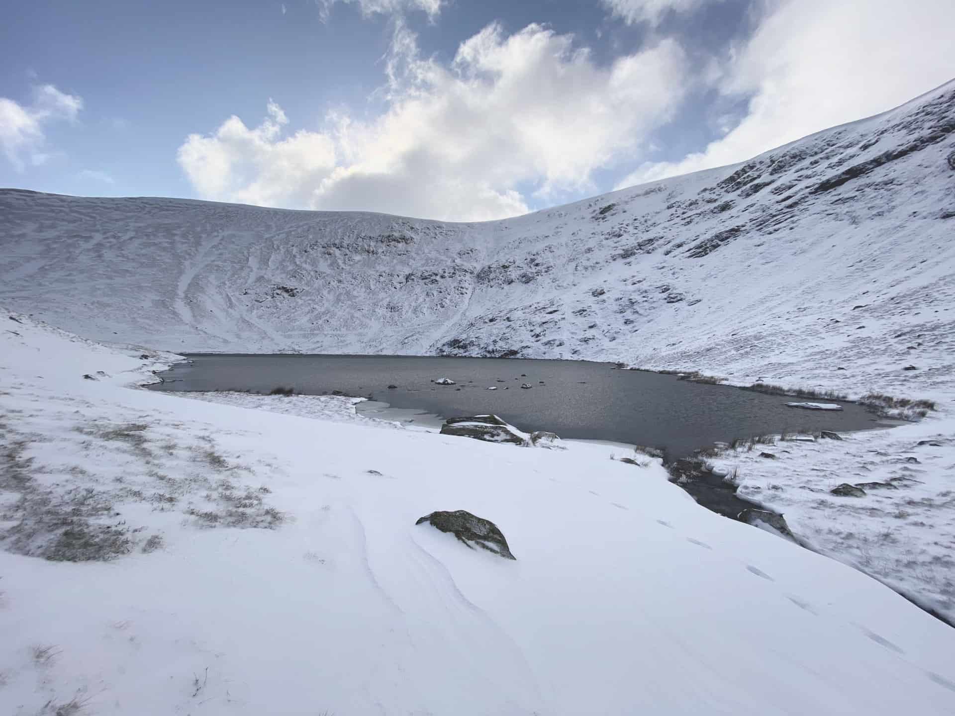
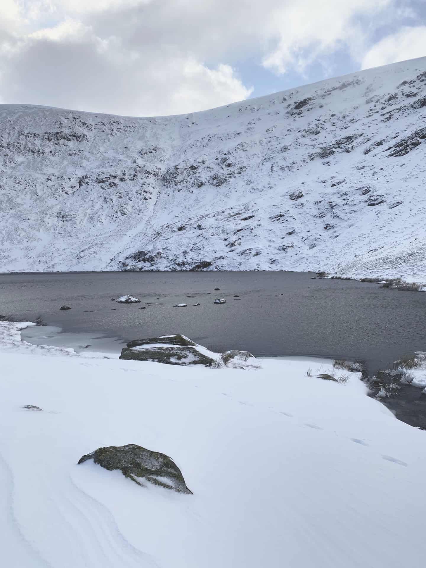
Bowscale Tarn is an enchanting body of water nestled in the rugged landscape of England’s Lake District. It’s a classic glacial corrie, delicately sitting beneath the craggy northern slopes of Bowscale Fell, cradled and held in place by a humped moraine, a testament to the glacial movements that shaped this landscape millennia ago. It’s at an altitude of approximately 1550 feet, with the OS grid reference NY 33662 31337 marking its location.
Taking a Bowscale Tarn walk allows visitors to appreciate the tranquility of this isolated tarn, far removed from the hustle and bustle of daily life. The water from the tarn, channelled via Tarn Sike, runs down into the River Caldew near Roundhouse, presenting a scenic view of water’s perpetual journey. This all takes place in the stunning valley between Bowscale Fell and Carrock Fell, two notable fells that provide a breathtaking backdrop to this picturesque walk.
To reach Bowscale Tarn, you embark from the tiny, charming hamlet of Bowscale. A bridleway leads you west, beginning a gradual ascent for 1.6 miles. This is not a strenuous hike, but the steady upward journey provides ample opportunities to absorb the surrounding landscape’s sheer beauty and to marvel at the natural forces that crafted it.
Taking the Bowscale Tarn walk is a journey through time, space, and tranquility. Each step carries you further into an experience that combines the serenity of untouched nature with the powerful remnants of past geology. Here, at Bowscale Tarn, the evidence of nature’s unyielding force and everlasting beauty is clear to see.
Recommended Ordnance Survey Map
The best map to use on this walk is the Ordnance Survey map of the Lake District North-Eastern Area, reference OS Explorer OL5, scale 1:25,000. It clearly displays footpaths, rights of way, open access land and vegetation on the ground, making it ideal for walking, running and hiking. The map can be purchased from Amazon in either a standard, paper version or a weatherproof, laminated version, as shown below.
Standard Version
Bowscale Tarn Walk: My Photos
The track from Bowscale to Bowscale Tarn, on the northern flanks of Bowscale Fell.

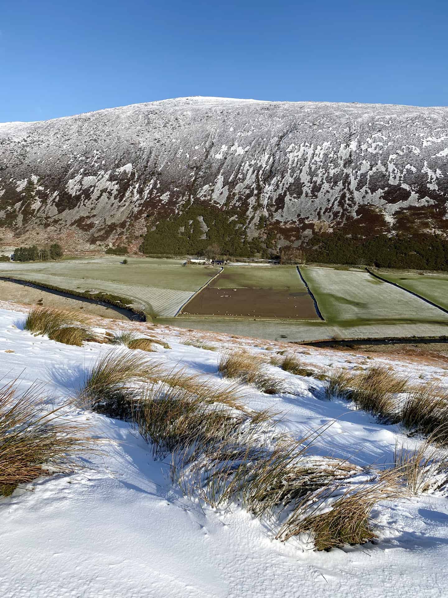
Carrock Fell on the other side of the valley.

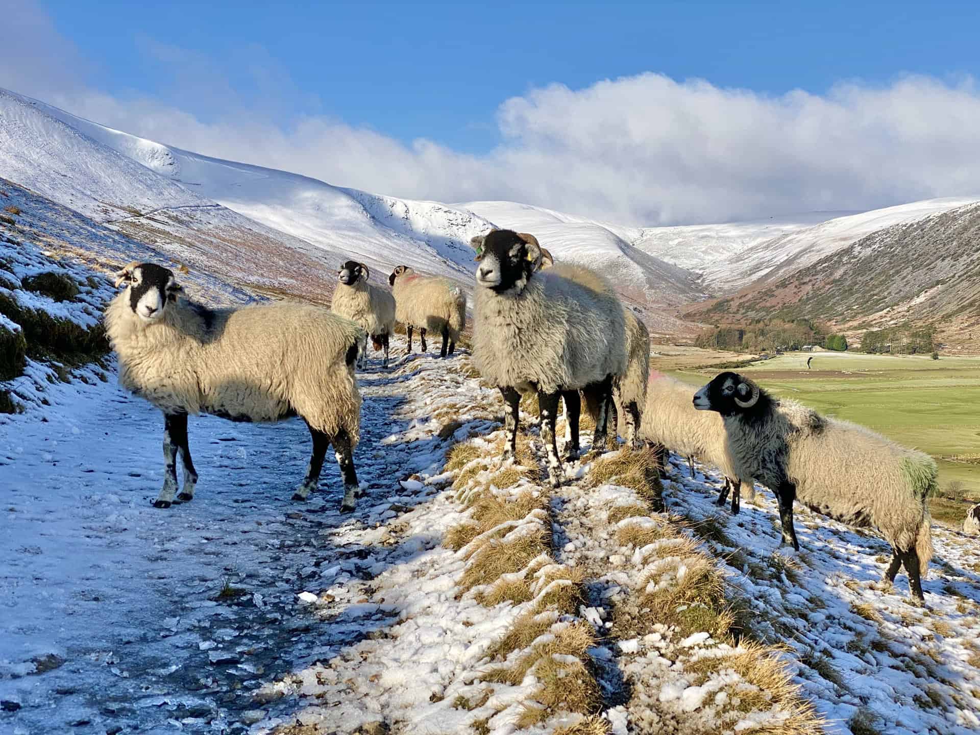
Friendly sheep come to see me from the valley below.
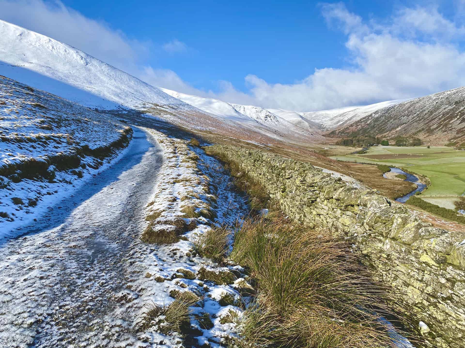
The River Caldew, visible over the wall, flows east through the valley between Bowscale Fell and Carrock Fell. It’s source is high up on Skiddaw, between the summit and Sale How.
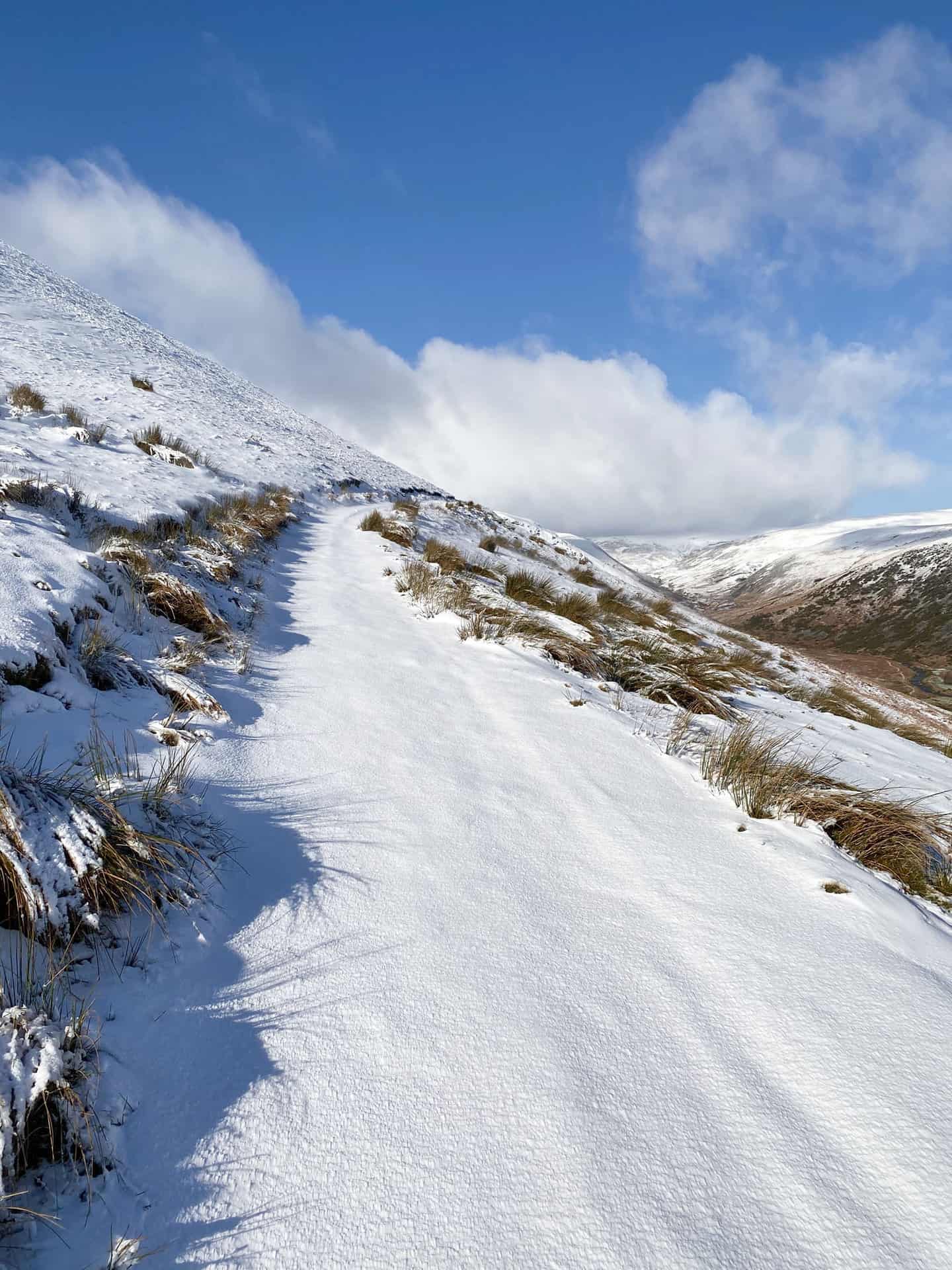
A fresh covering of snow on ground higher than 350 metres.
The view north towards Swineside at the foot of Carrock Fell.
Bowscale Tarn, one of the highlights of the Bowscale Tarn walk.
The snow-covered route down to Roundhouse, below the steep slopes of Carrock Fell.

Footbridge over the River Caldew at Roundhouse.
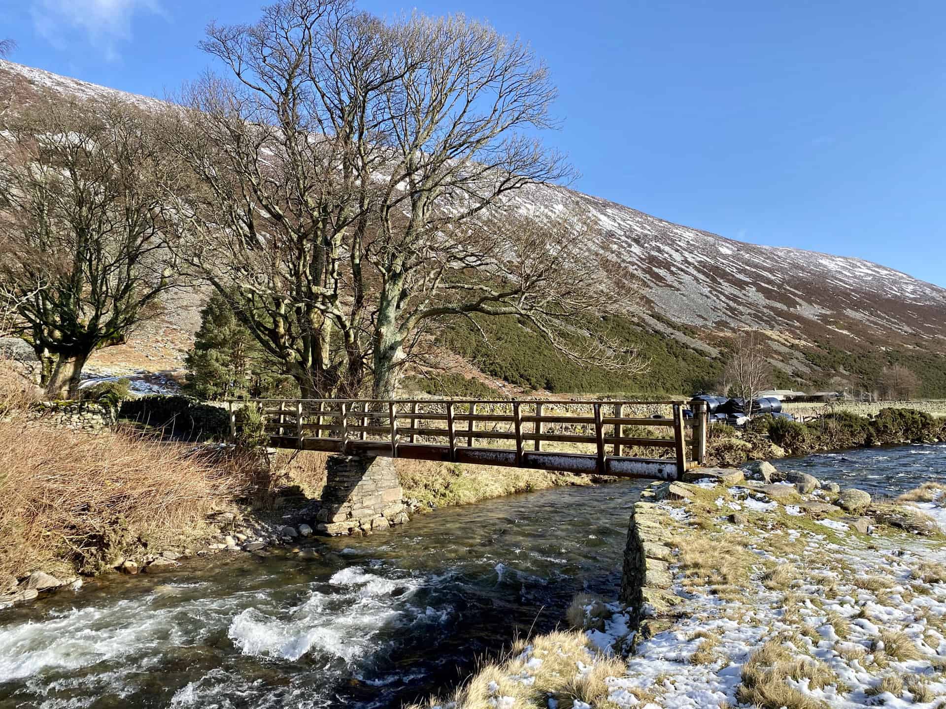
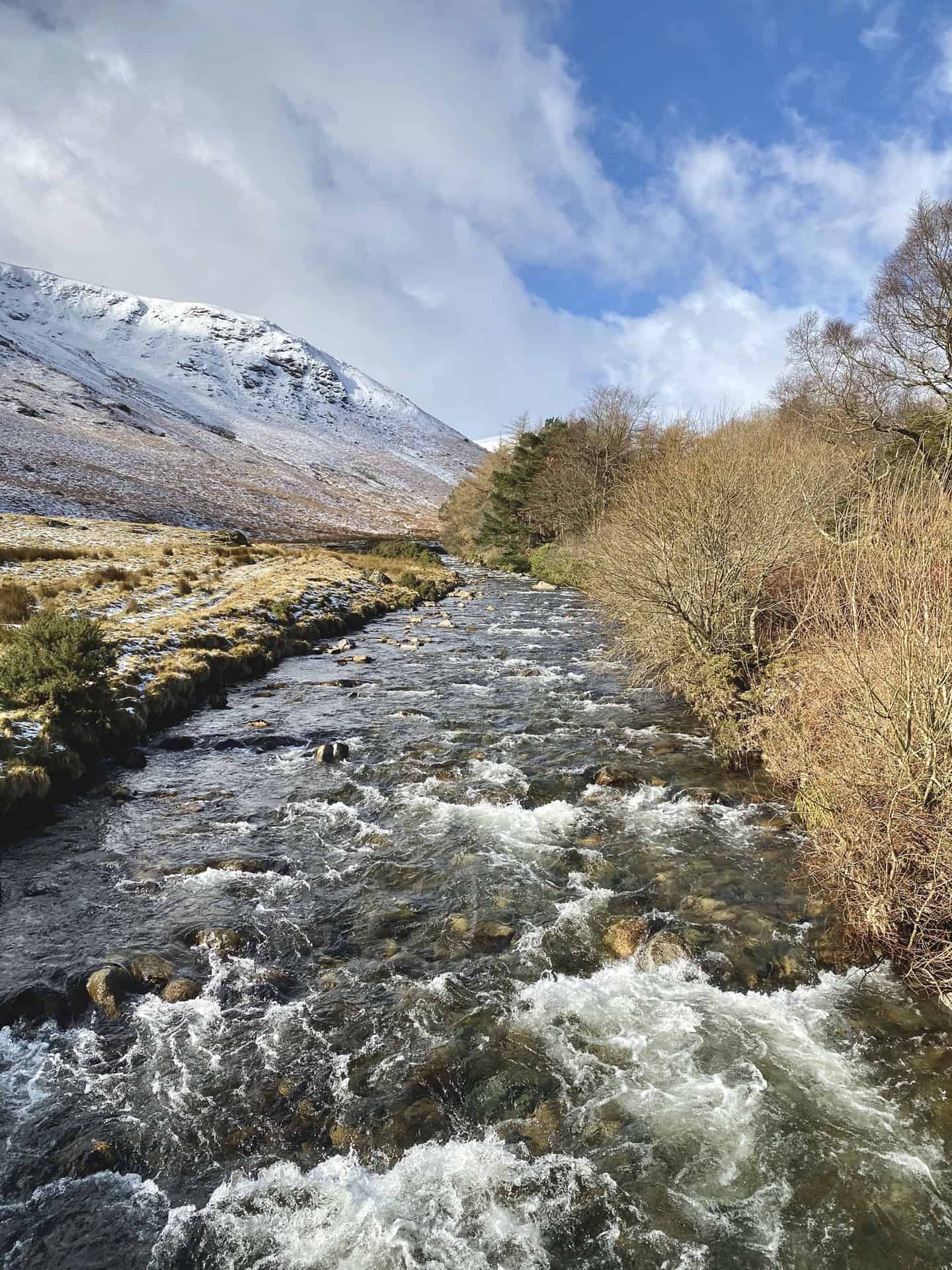
The River Caldew at Roundhouse.

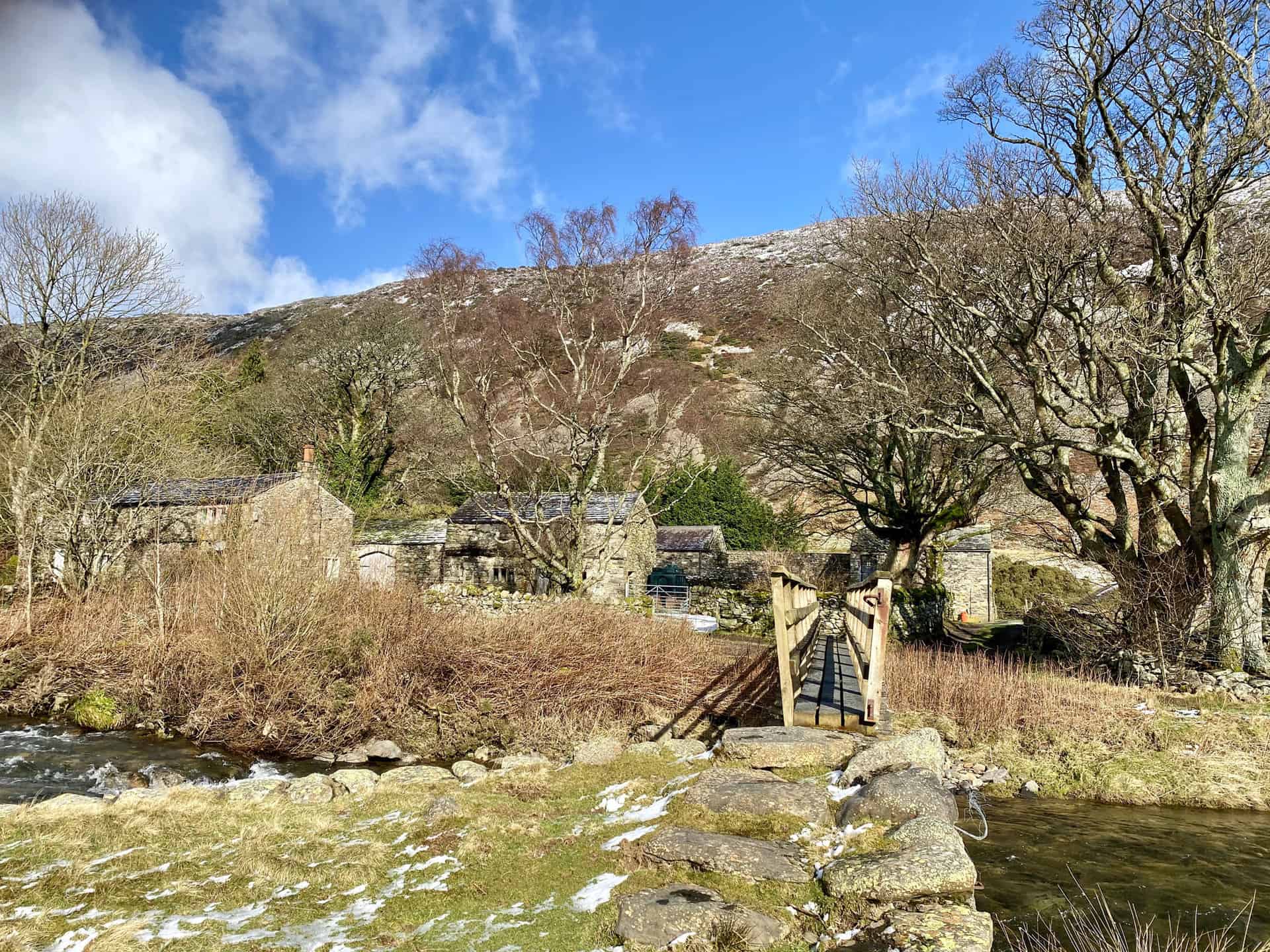
Picturesque farmhouses and farm buildings surrounded by trees at Roundhouse, about one-quarter of the way round this Bowscale Tarn walk.

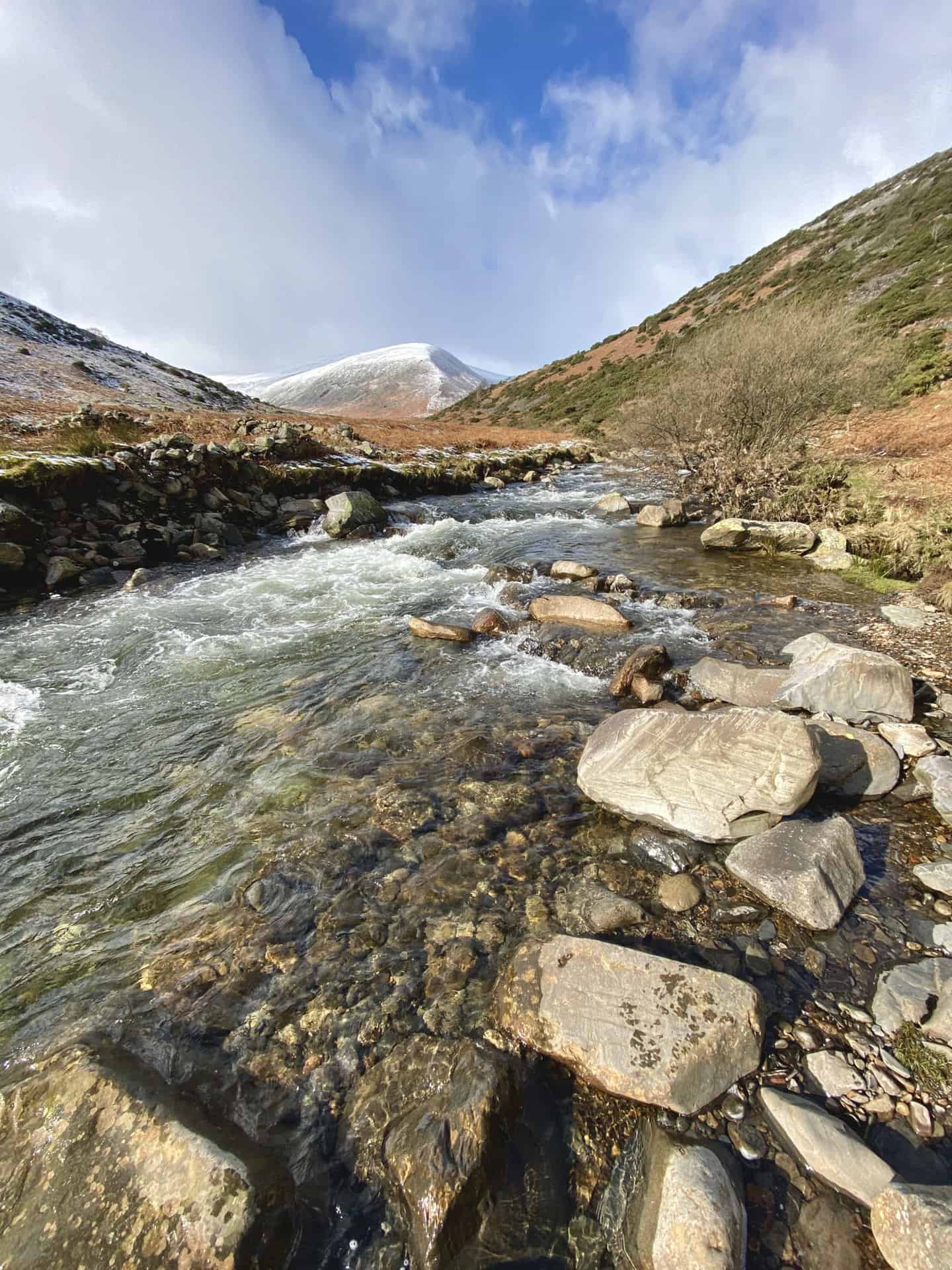
The view west towards Coomb Height.
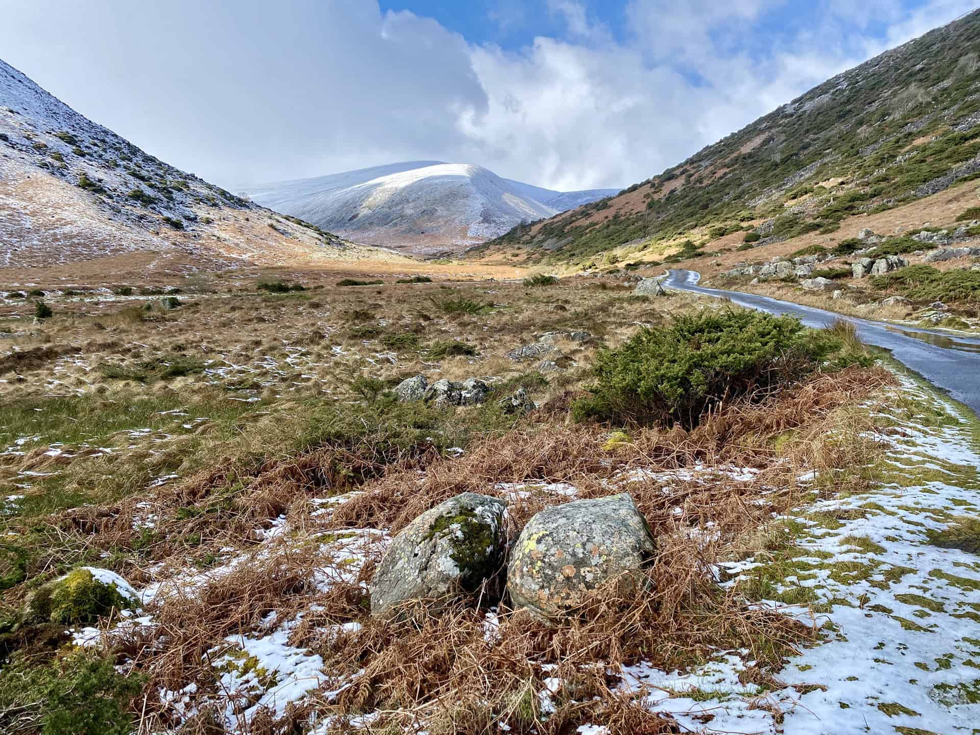
A path is visible leading to the top of Coomb Height, and with hindsight it would have been easier to take this route. Instead I chose to follow the Cumbria Way alongside Grainsgill Beck on the right-hand side of the mountain. The snow and boggy ground made the ascent difficult.
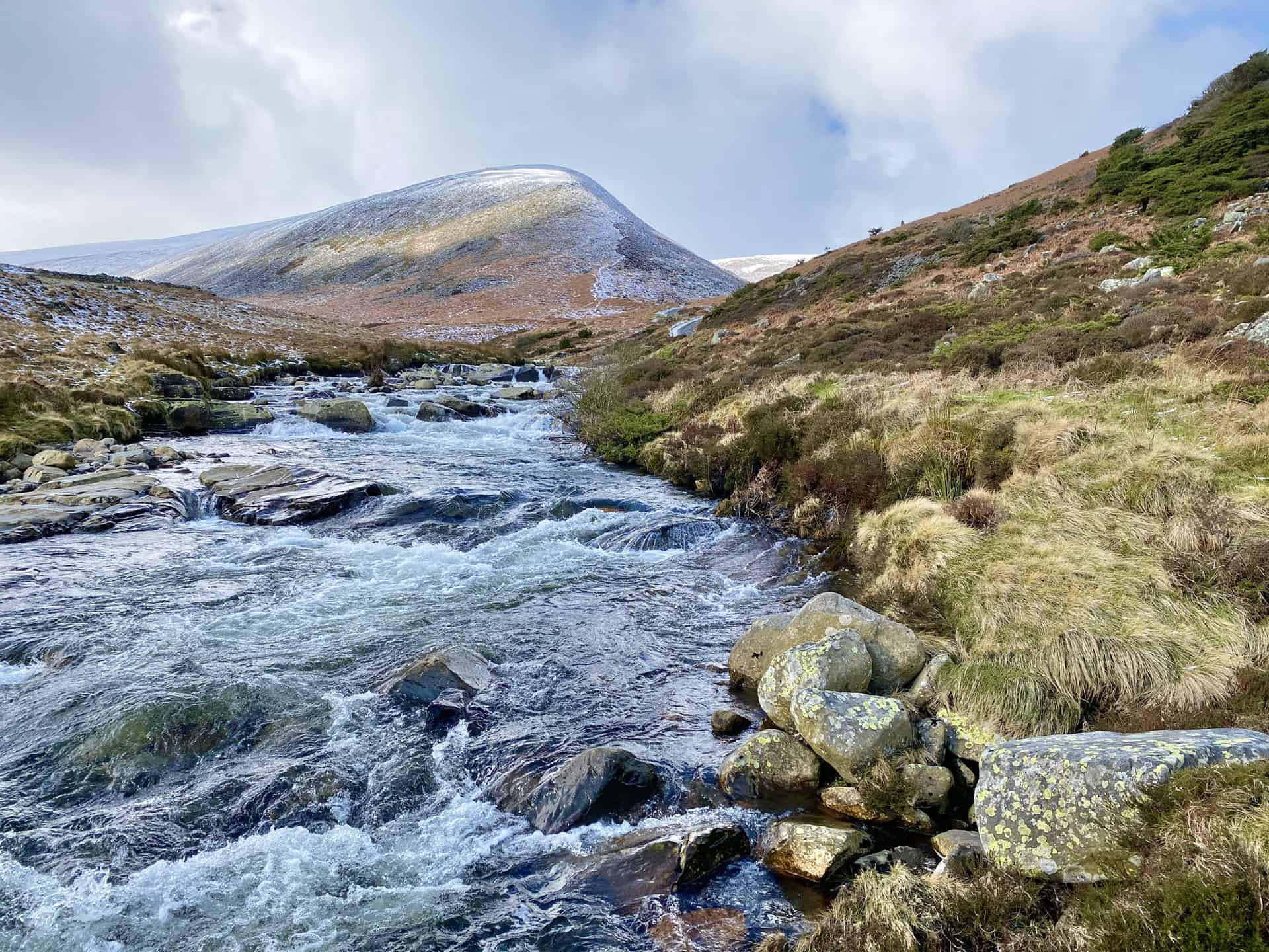
The view back down the valley before I start to climb Coomb.

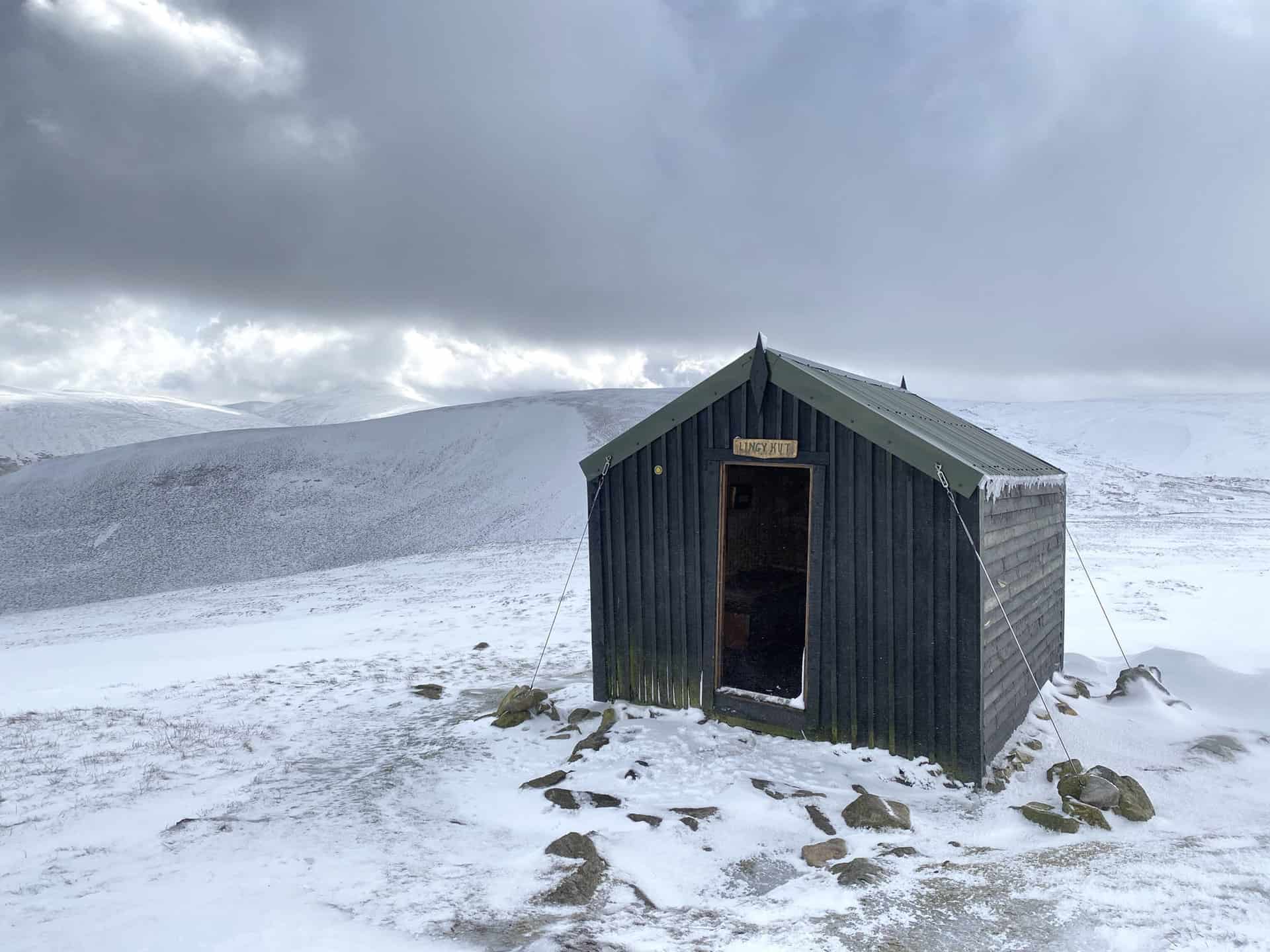
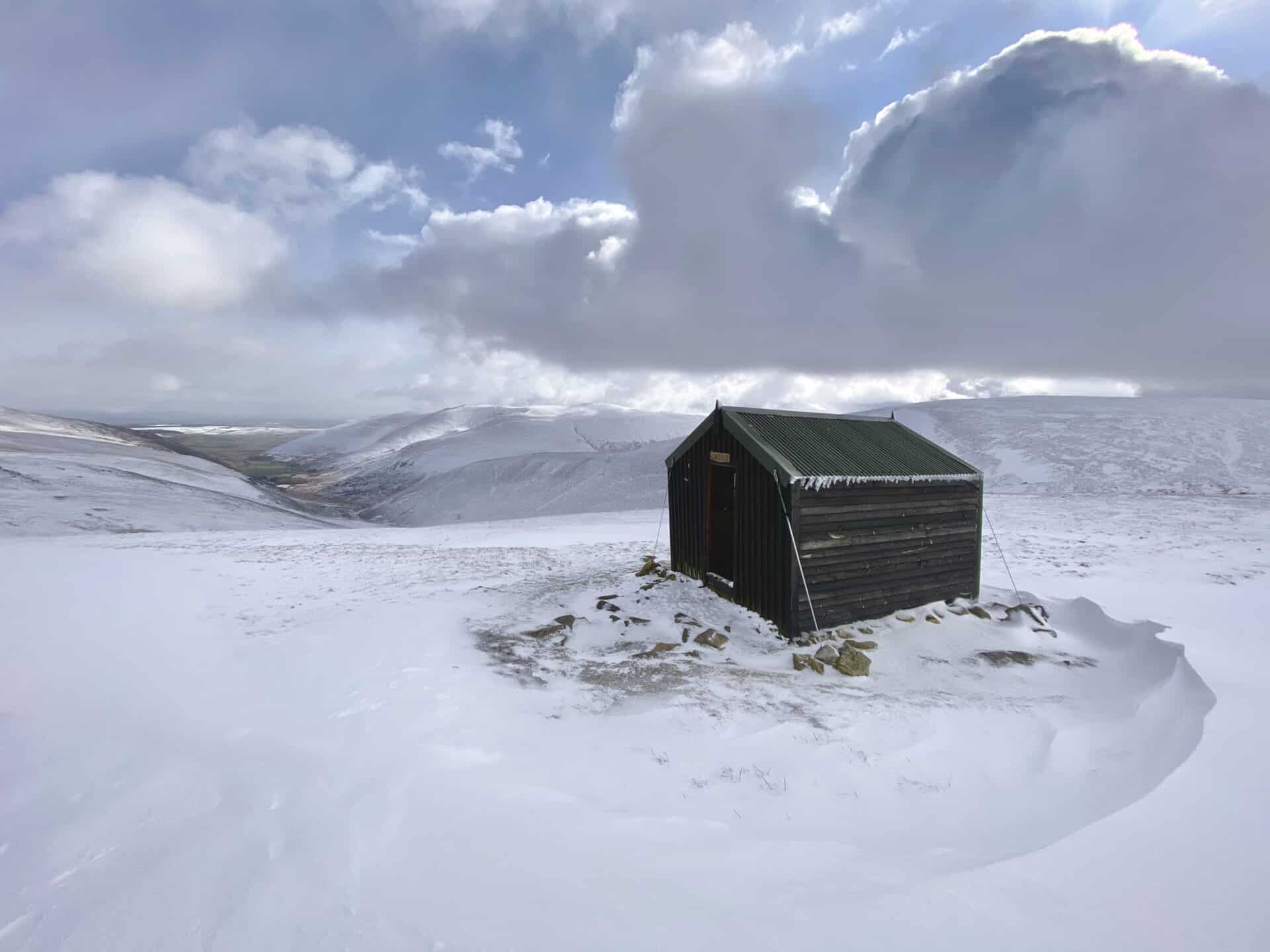
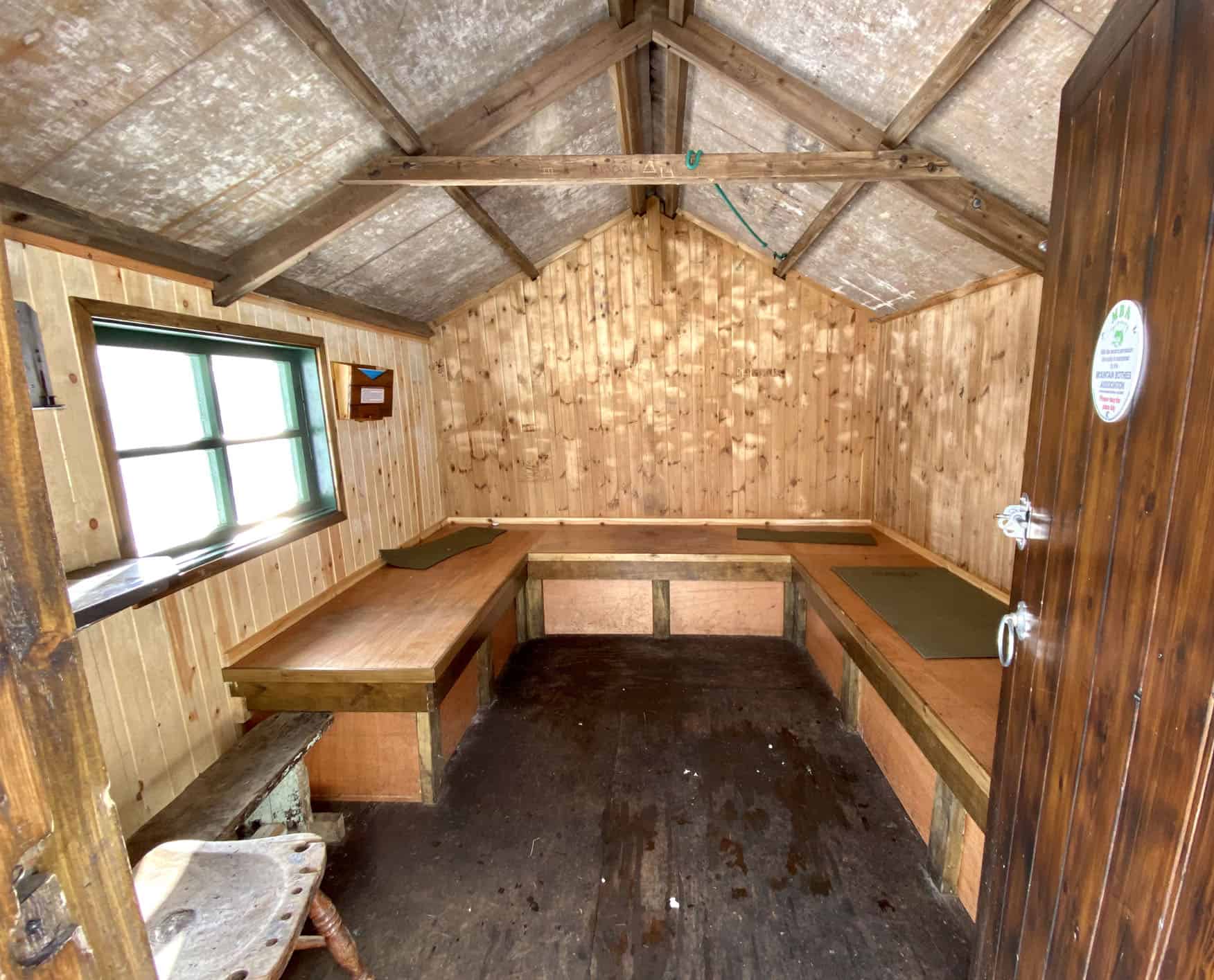
A welcome shelter by the side of the Cumbria Way on Great Lingy Hill, roughly half way round this Bowscale Tarn walk.
The view south from Hare Stones towards the mountain ranges of Blencathra and Skiddaw.
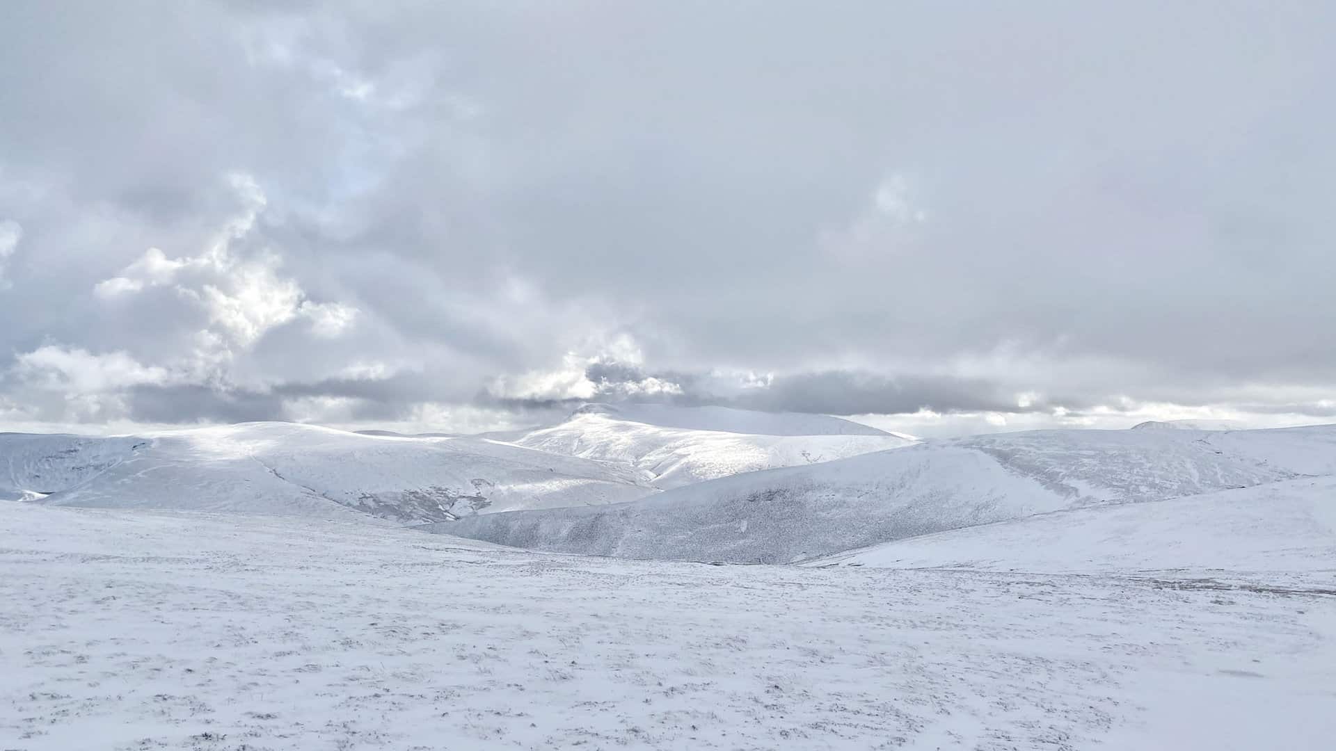
Looking back towards High Pike from West Fell, almost three-quarters of the way round this Bowscale Tarn walk.

The view east from West Fell. On the horizon on the left of the photo the snow-covered mountains of the North Pennines are lit up by the sun.

Amazon’s Top Walking Boots: Four Standout Choices for Men and Women
For walking and hiking, the right boots are essential for both comfort and safety. While Amazon boasts a wide range, certain boots emerge as top-sellers. From those, here are four I personally favour. As an Amazon affiliate, I may earn a small commission from any purchases made through the links provided. This helps support the upkeep of this website. Rest assured, you won’t pay a penny extra, but your purchase will contribute to keeping my site running smoothly. Happy walking!

Berghaus Men’s Hillmaster II Gore-Tex Walking Boots
These fully waterproof leather walking boots feature a Gore-Tex lining, ensuring no water enters whilst allowing feet to breathe and stay cool. Made from full-grain leather, they promise unmatched durability and comfort. The boots come with memory foam tongues and cuffs that mould to your feet for a tailored fit, and the Vibram Hillmaster outsoles offer confidence on challenging terrains.

Salewa Men’s Mountain Trainer Mid Gore-Tex Walking Boots
Made from durable suede and abrasion-resistant textile, these men’s hiking boots are both lightweight and sturdy. The upper material is enhanced by a 360° full rubber sheath. Their dual-layer midsole with Bilight technology ensures ergonomic cushioning and grip, especially on extended hikes. The Vibram Wrapping Thread Combi outsoles allow a natural walking feel, and the Gore-Tex lining provides waterproofing, breathability, and optimal weather protection. Furthermore, the patented Salewa 3F system ensures flexibility, a secure heel grip, and a blister-free fit.

Berghaus Women’s Supalite II Gore-Tex Walking Boots
Specially designed for women, these hiking boots offer waterproofing and breathability, thanks to their Gore-Tex lining. Crafted from full-grain abrasion-resistant leather, they’re durable enough for the toughest hikes. The Supalite soles ensure stability and traction, and the EVA midsoles add comfort for extended walks.

Merrell Women’s Moab 3 Mid Gore-Tex Walking Boots
These hiking boots incorporate a Gore-Tex waterproof membrane, blending breathability with superior waterproof performance. The combination of pigskin leather and mesh on the uppers, along with the suede outer material, ensure durability and style. Enhancements include 100% recycled laces, webbing, and mesh lining. Additionally, bellows tongues, protective toe caps, and Vibram TC5+ rubber soles ensure protection and ease on any terrain.