East from Guisborough to Little Waterfall Farm, then south-east to join the Cleveland Way. South to Westworth Wood then south-east across High Moor to the road at Brown Hill. A horseshoe walk into Commondale and back to North Ings Moor, then continuing in a north-westerly direction to the edge of Guisborough Woods. After a visit to Highcliffe Nab, west to Hutton Village before returning to Guisborough via Hutton Hall. A 15-mile walk in Northern England.
Recommended Ordnance Survey Map
The best map to use on this walk is the Ordnance Survey map of the North York Moors Western Area, reference OS Explorer OL26, scale 1:25,000. It clearly displays footpaths, rights of way, open access land and vegetation on the ground, making it ideal for walking, running and hiking. The map can be purchased from Amazon in either a standard, paper version or a weatherproof, laminated version, as shown below.
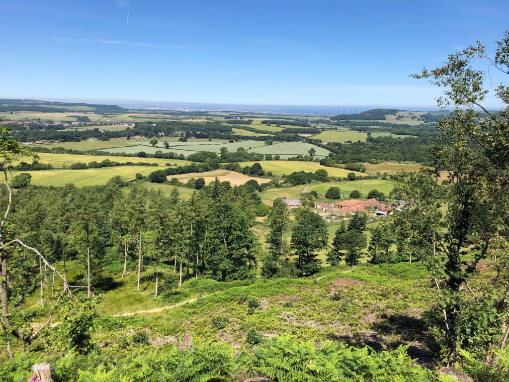
Looking west across farmland to Highcliffe Nab.
The view north from Spa Wood to Errington Wood and the village of Upleatham.
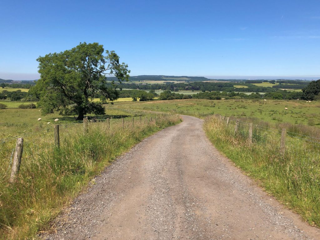
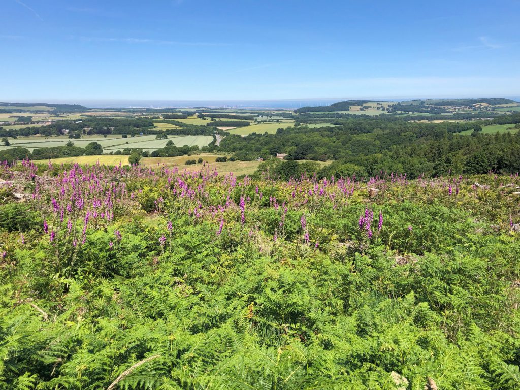
Views north from the Cleveland Way towards the coast at Redcar.
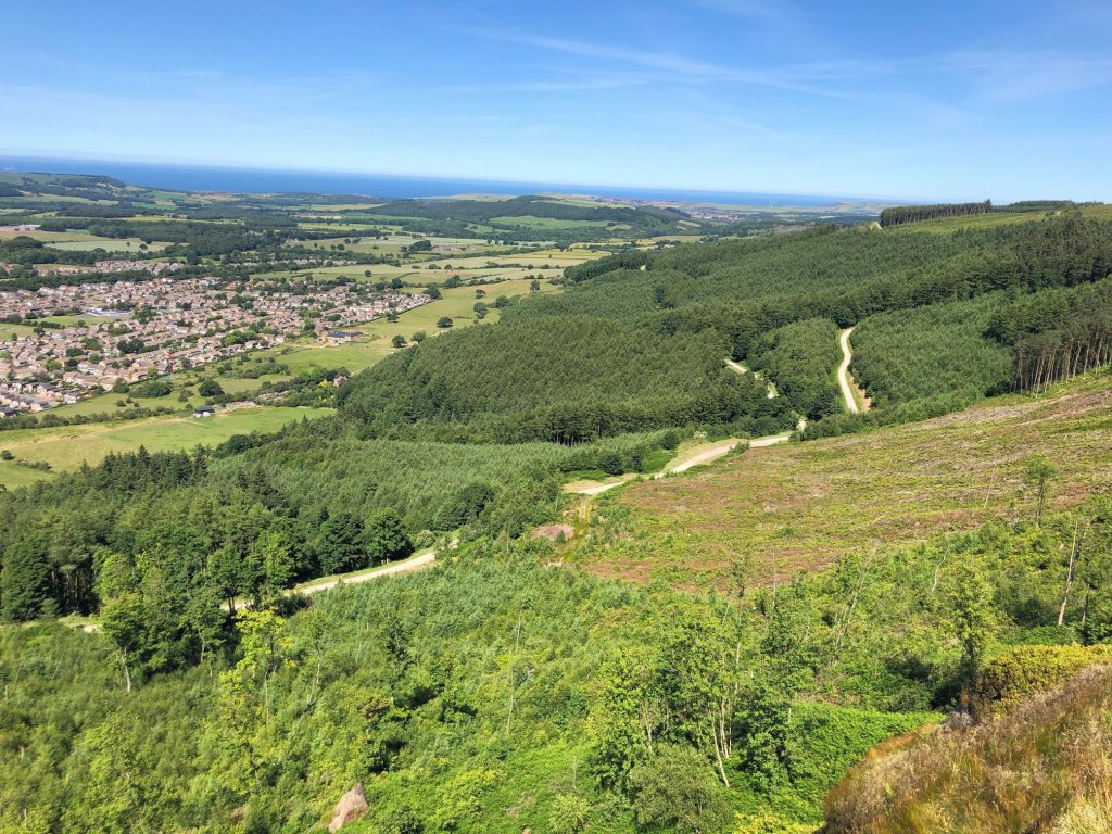
The Cleveland Way through Guisborough Woods.
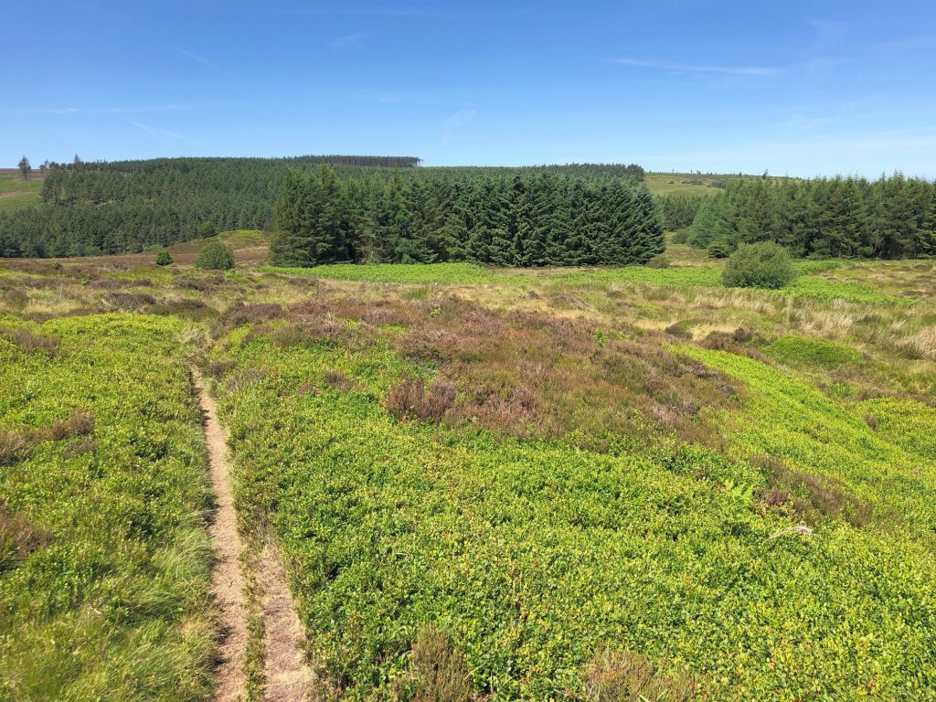
Westworth Wood.
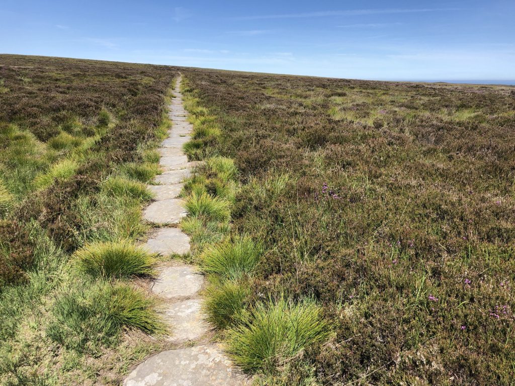
The Quakers’ Causeway (Path) across High Moor.
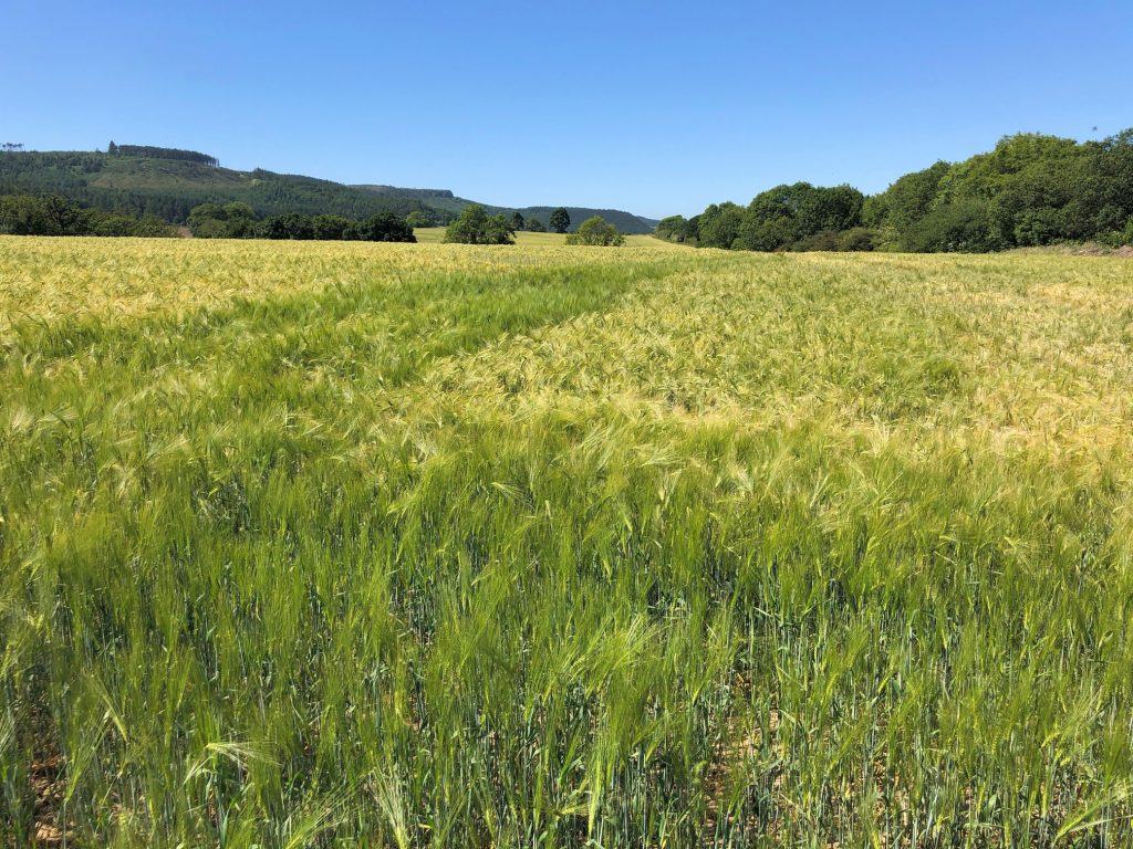
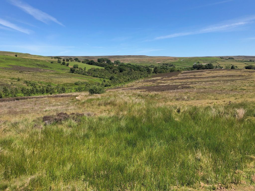
Picturesque farmland and moorland in Commondale.
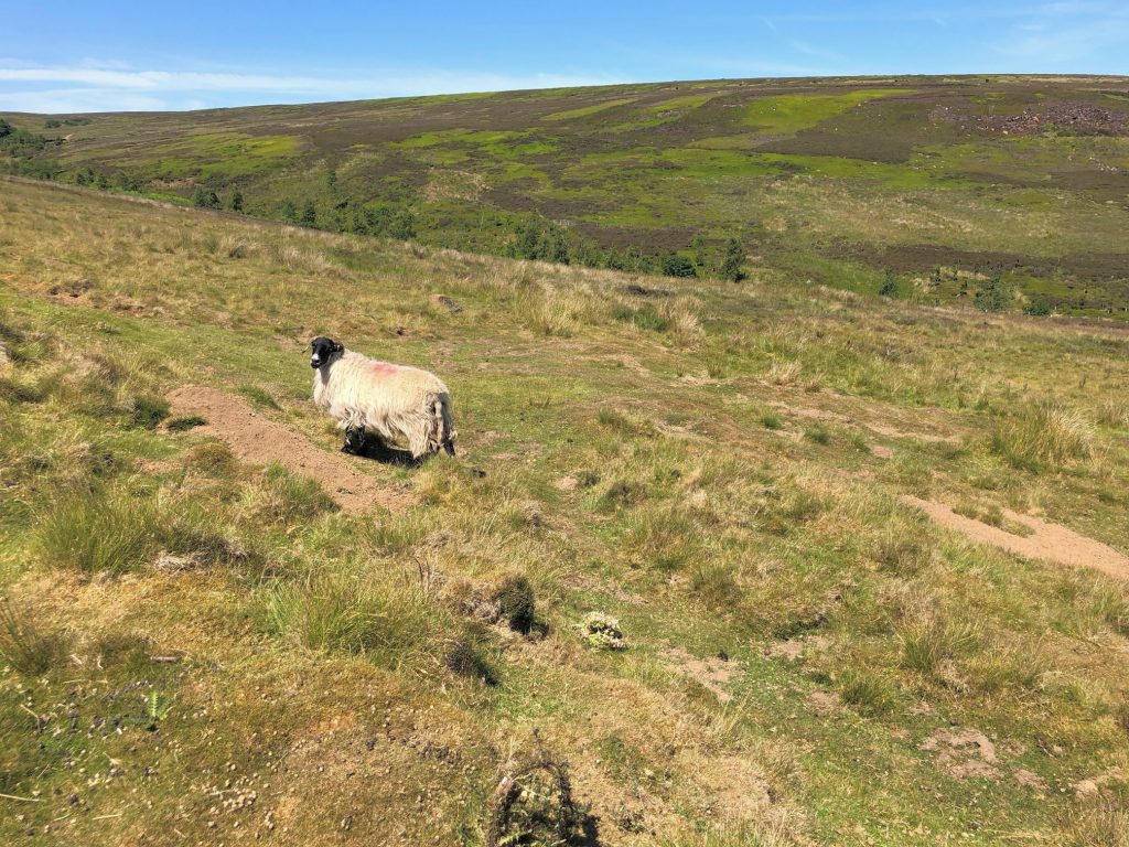
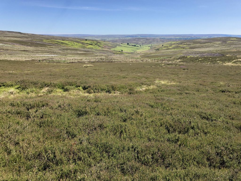
North Ings Moor.
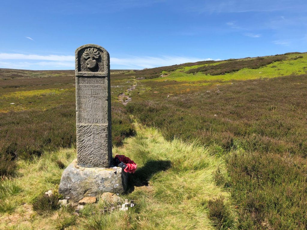
Commondale war memorial. The inscription reads:
FOR REMEMBRANCE. GUARDSMEN ROBBIE LEGGOTT KILLED IN ACTION 1916. ALF COCKERILL DIED OF WOUNDS 1920. DUTY 1914.
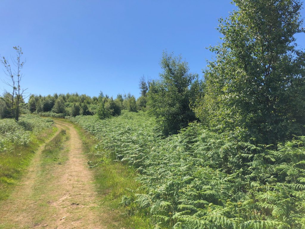
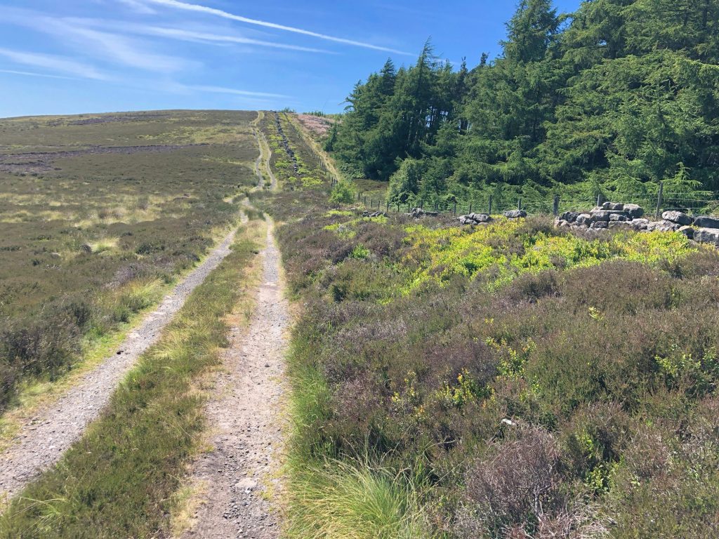
Track along the southern edge of Guisborough Woods.
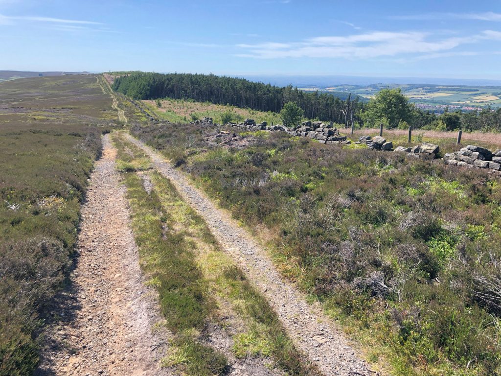
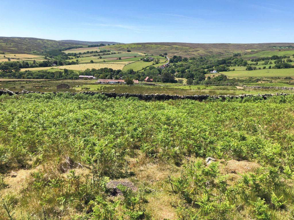
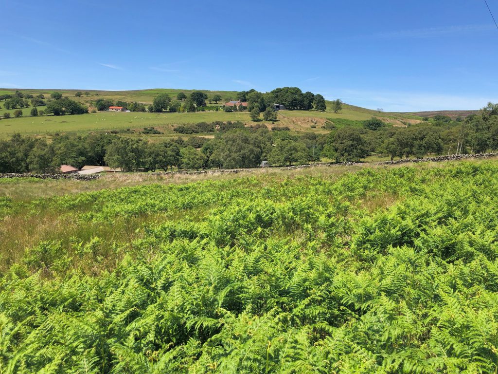
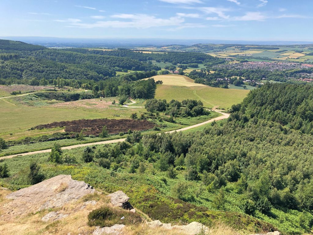
Gisborough Moor.
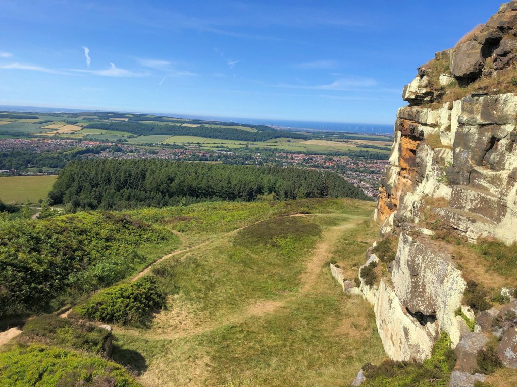
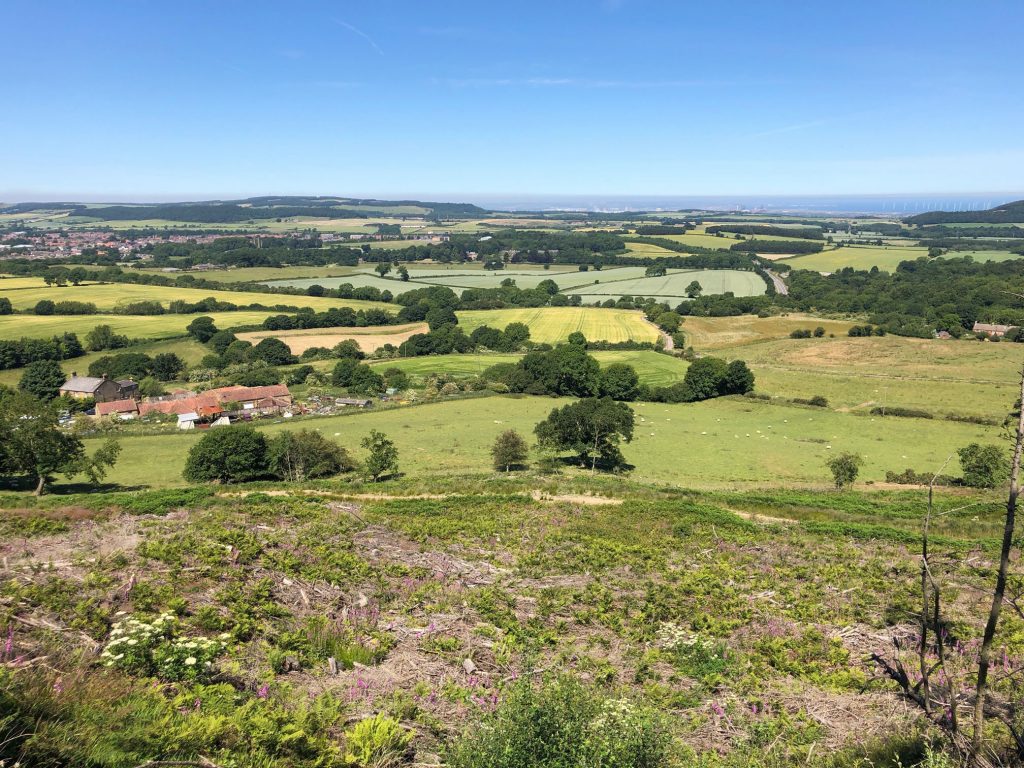
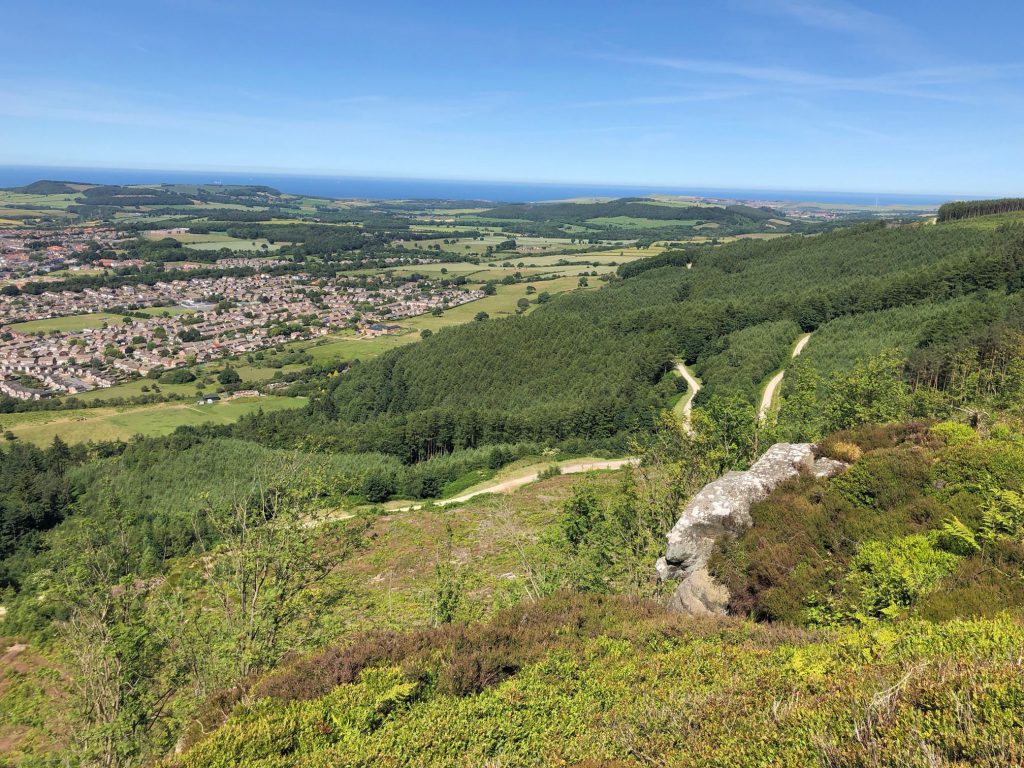
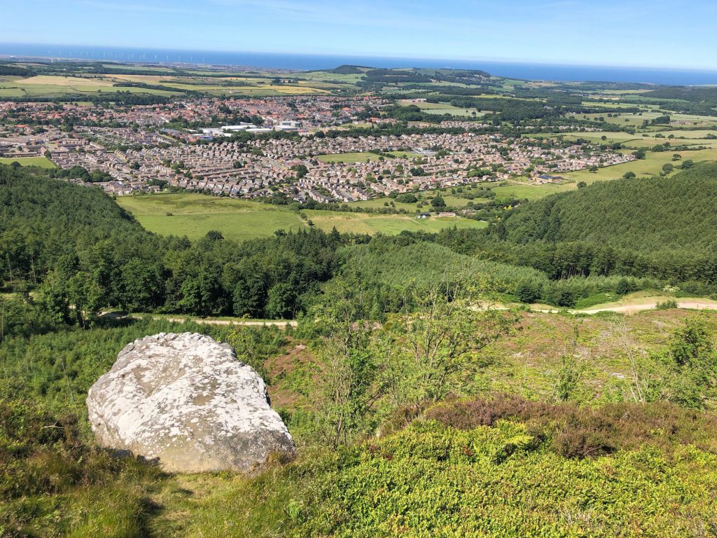
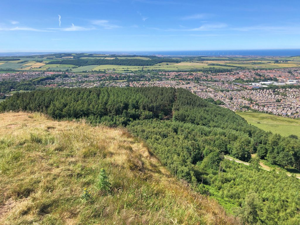
Looking down to Guisborough from the Highcliffe Nab area.
Highcliffe Nab.