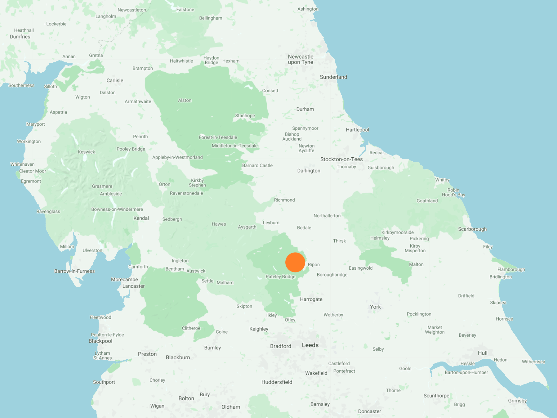
From the Marina car park on the B6265, south alongside the Ripon Canal on the Ripon Rowel Walk to the lock near Ox Close House. North via minor roads to Ripon Cathedral in the city centre. West then south-west through Studley Park to Fountains Abbey, then a U-turn and a visit to The Lake in the abbey grounds. Finally north-east past Whitcliffe Hall back to Ripon and the starting point. A 14-mile walk in Northern England.
Recommended Ordnance Survey Map
The best map to use on this walk is the Ordnance Survey map of Nidderdale, reference OS Explorer 298, scale 1:25,000. It clearly displays footpaths, rights of way, open access land and vegetation on the ground, making it ideal for walking, running and hiking. The map can be purchased from Amazon in either a standard, paper version or a weatherproof, laminated version, as shown below.
Weatherproof Version
Ordnance Survey map of Nidderdale, reference OS Explorer 298, scale 1:25,000
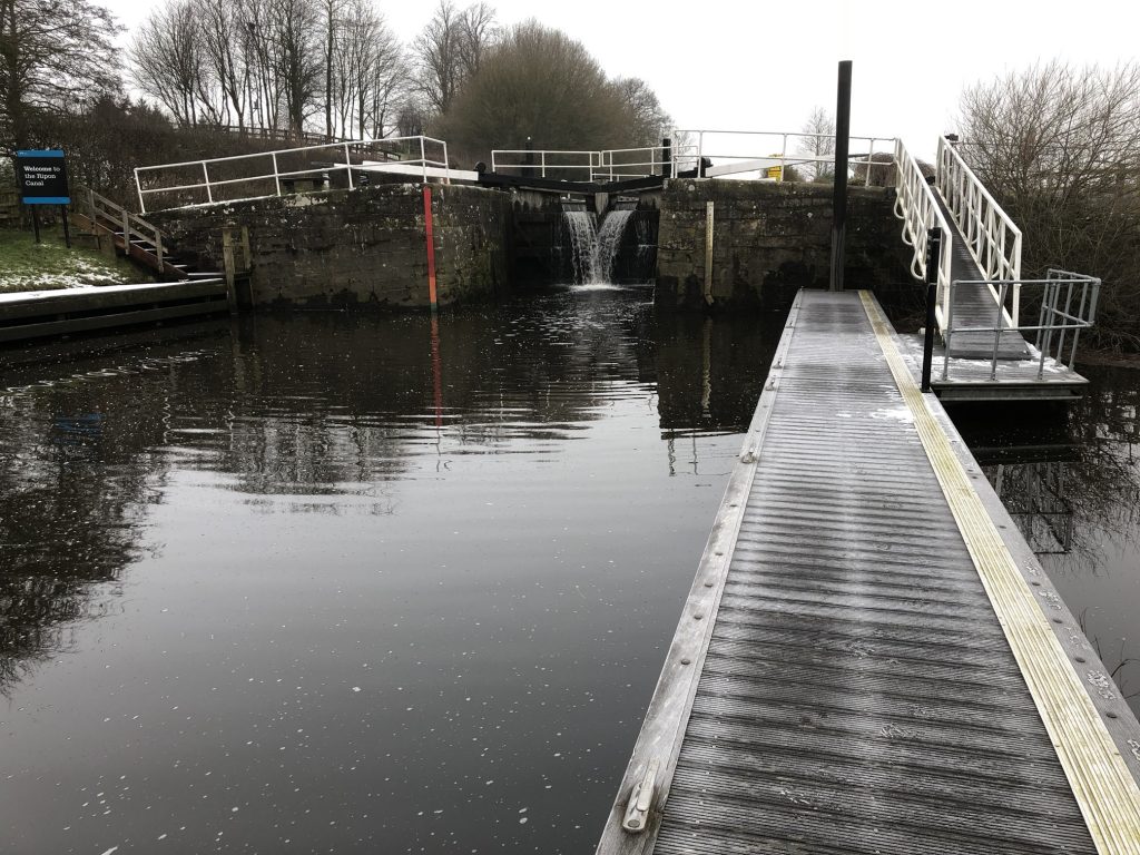
Locks on Ripon Canal.

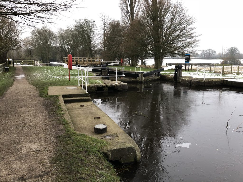
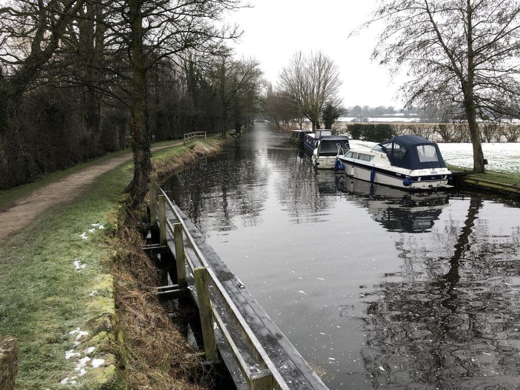
Ripon Canal.
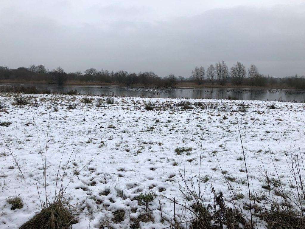
Nature reserve on the east side of the canal.
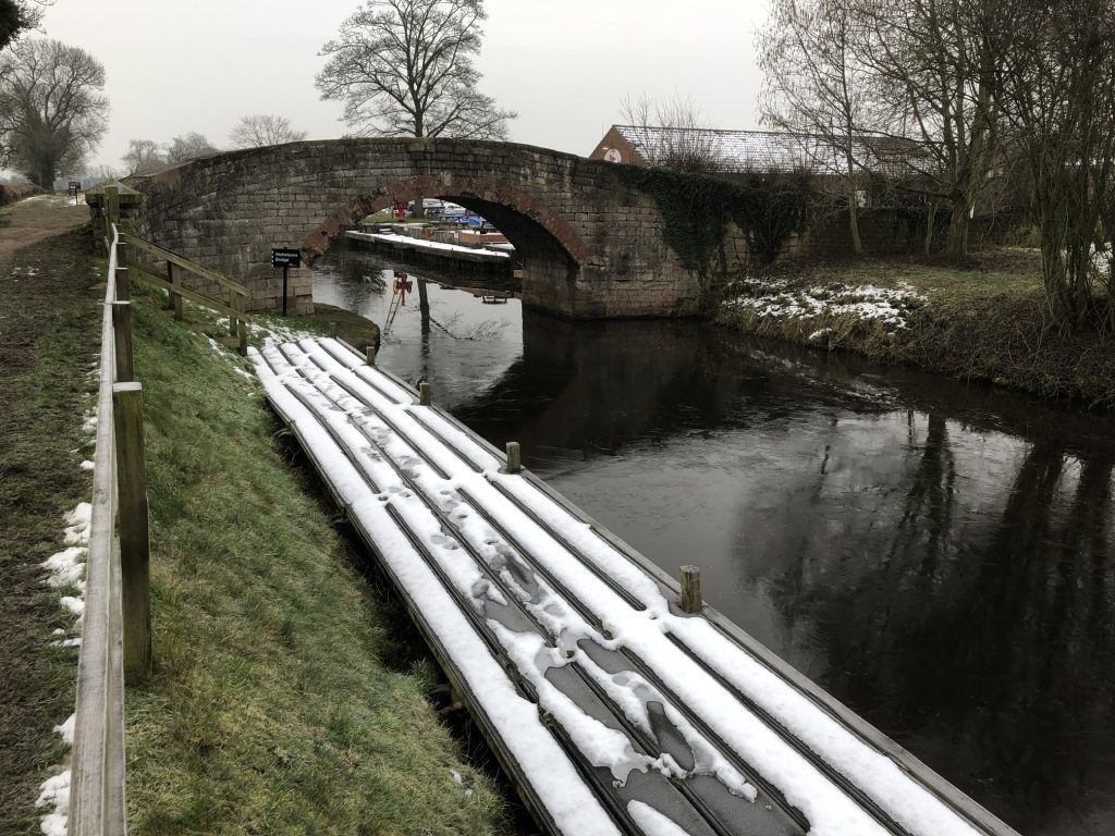
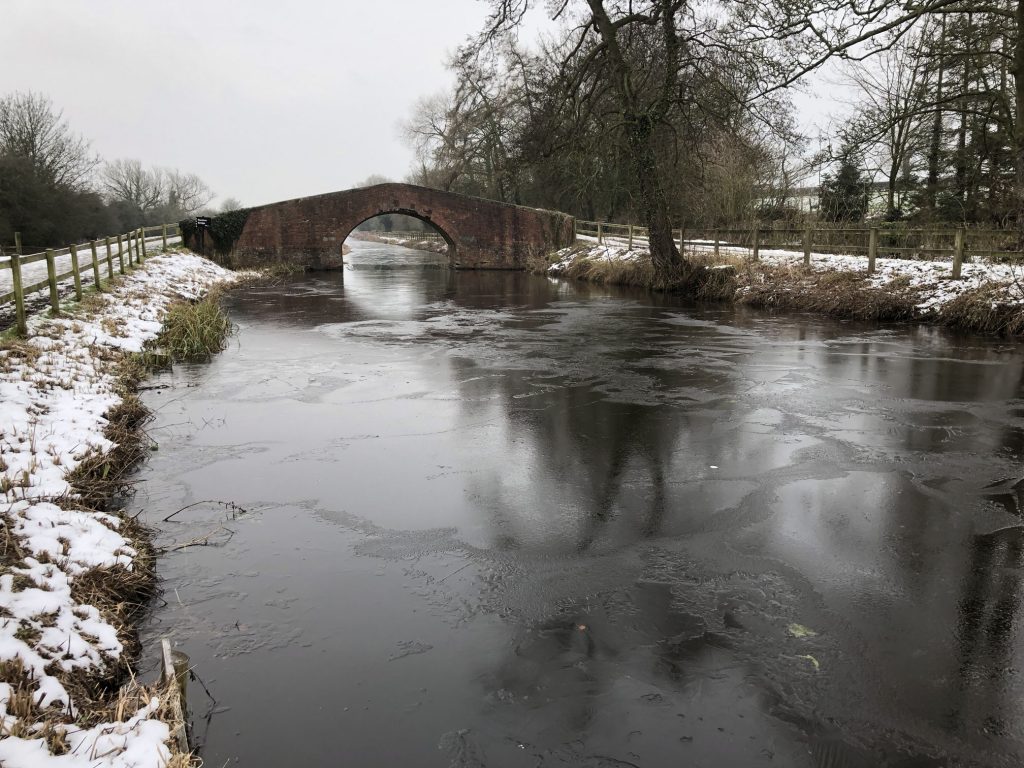
Lovely bridges over the canal.

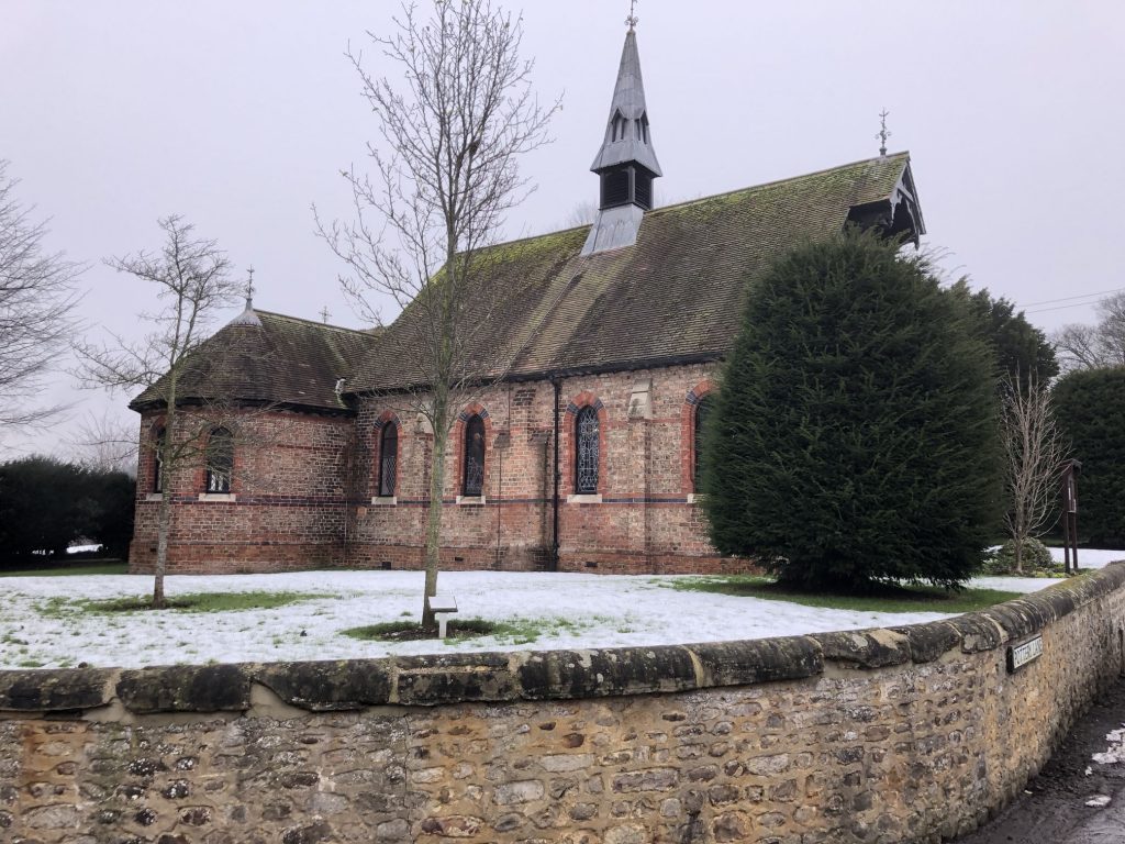
St Michael’s Church, Littlethorpe.

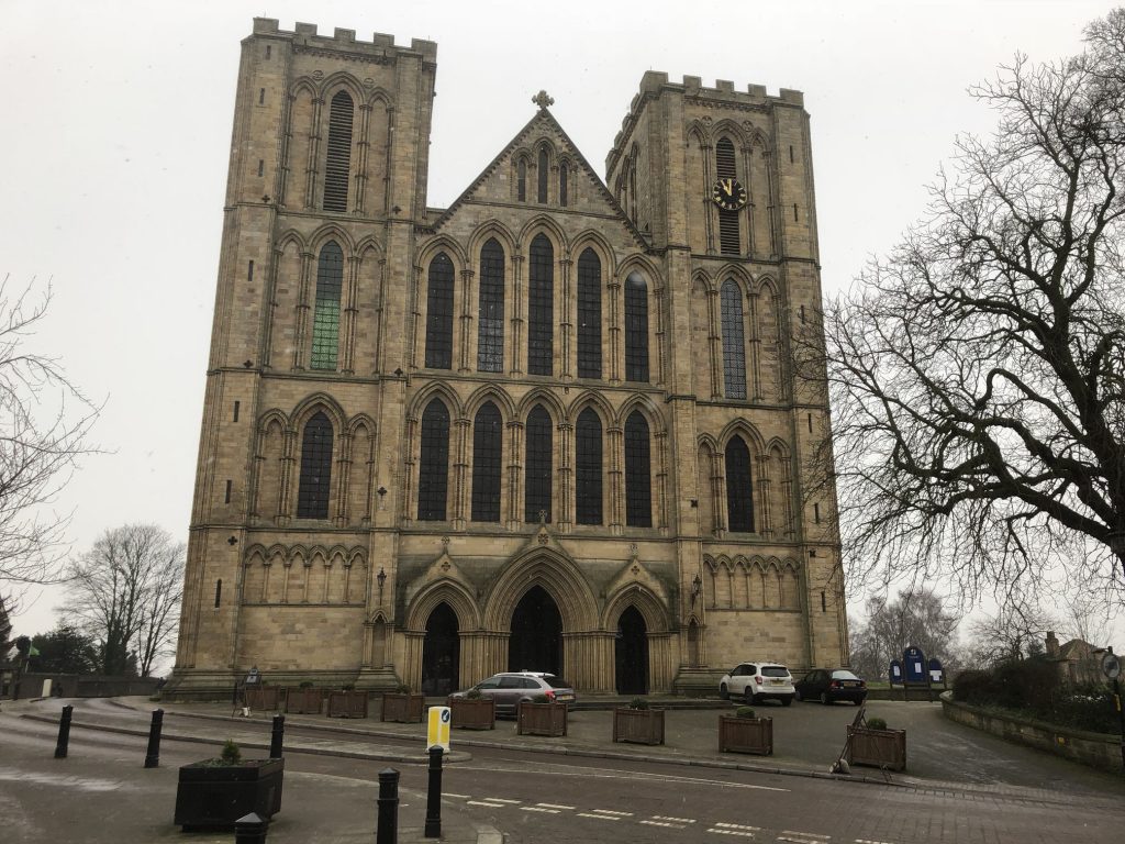
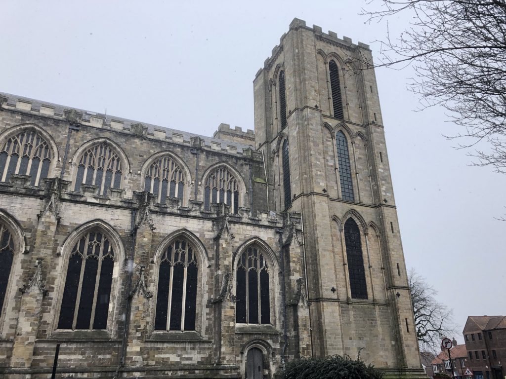
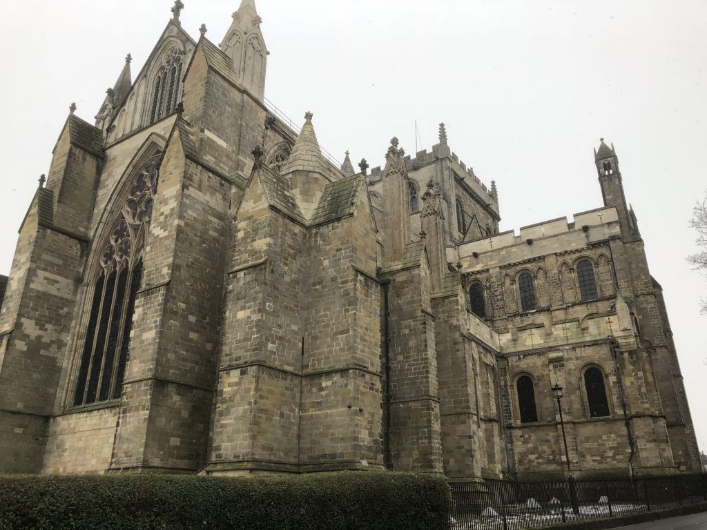
Ripon Cathedral.
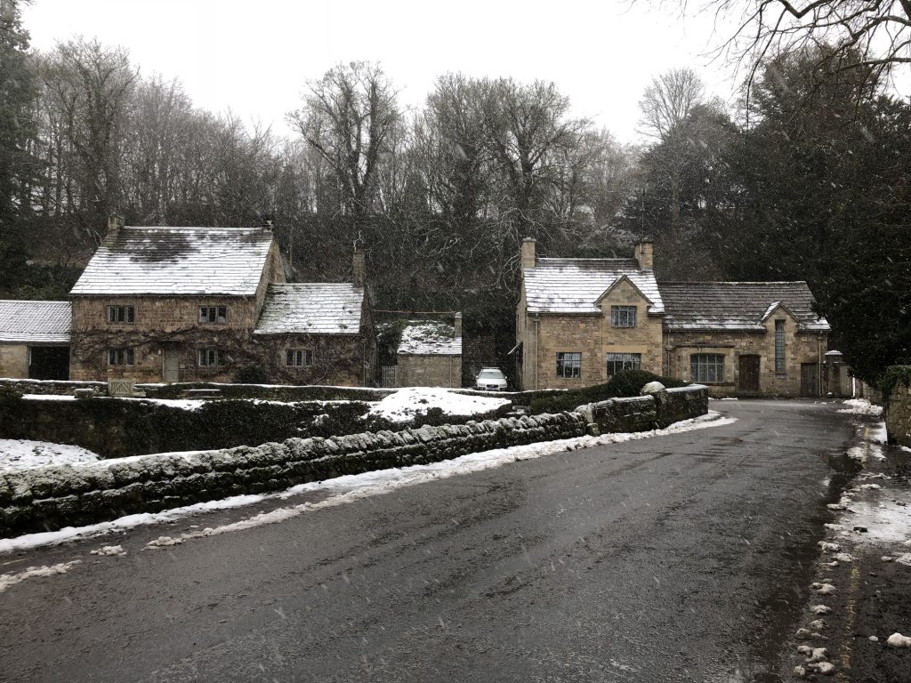
The path leading to Studley Roger.
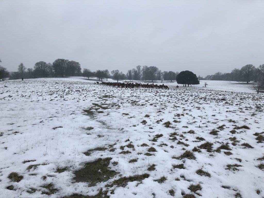
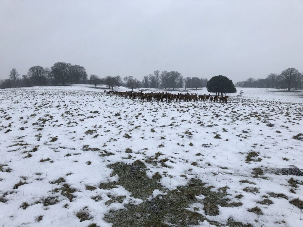
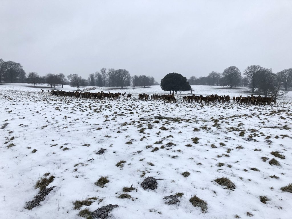
Studley Royal Deer Park.

Heading towards St Mary’s Church on the Ripon Rowel Walk.
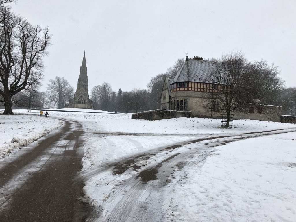
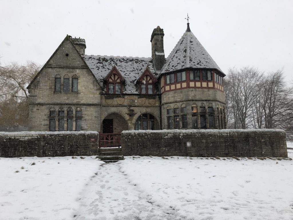
The Chorister’s House adjacent to St Mary’s Church.
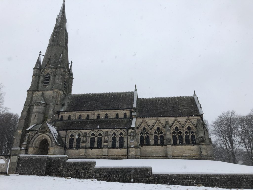
St Mary’s Church, Studley Royal.

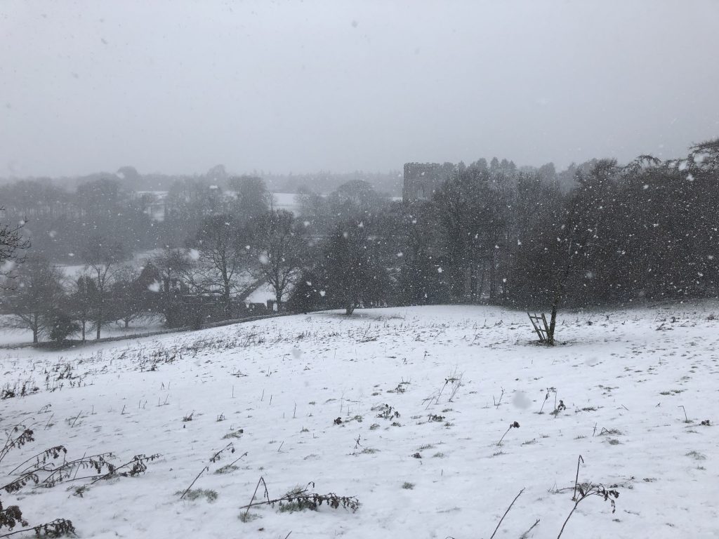
Fountains Bridge.
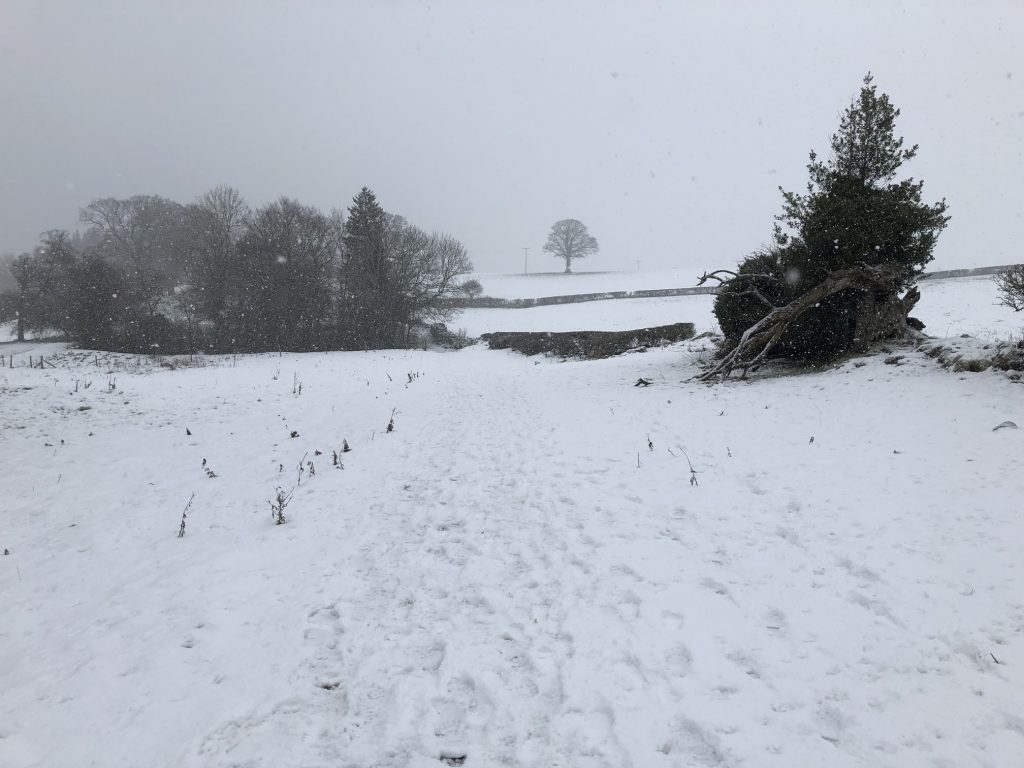
Deep snow near Abbey Wall.
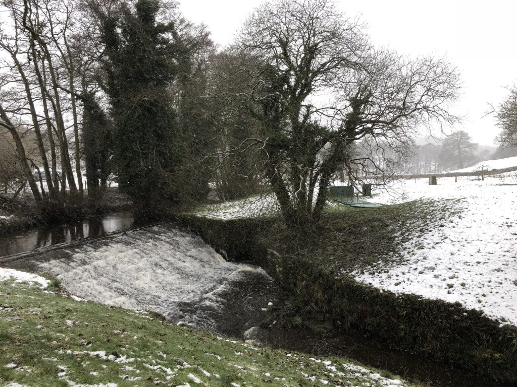
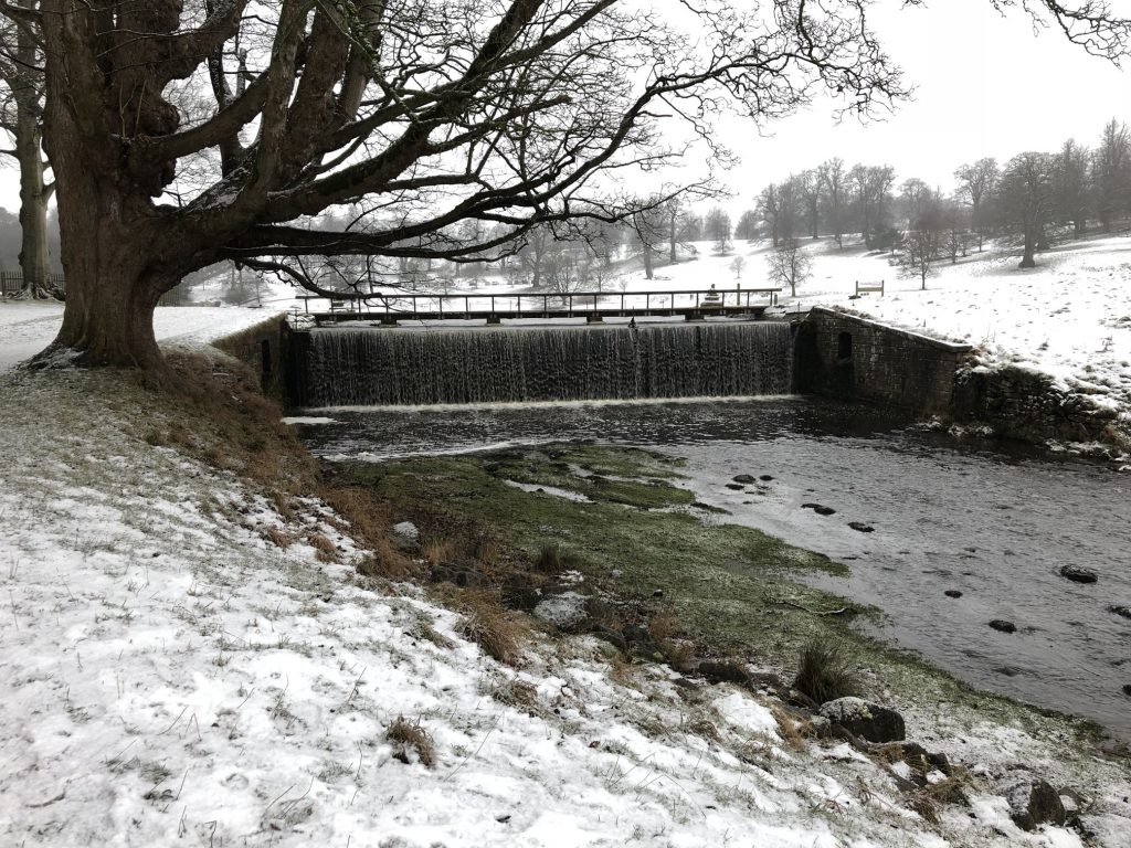
River Skell ford and waterfall.
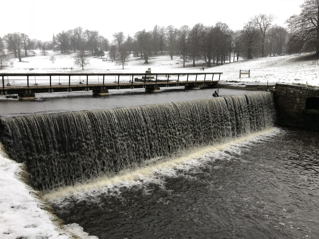
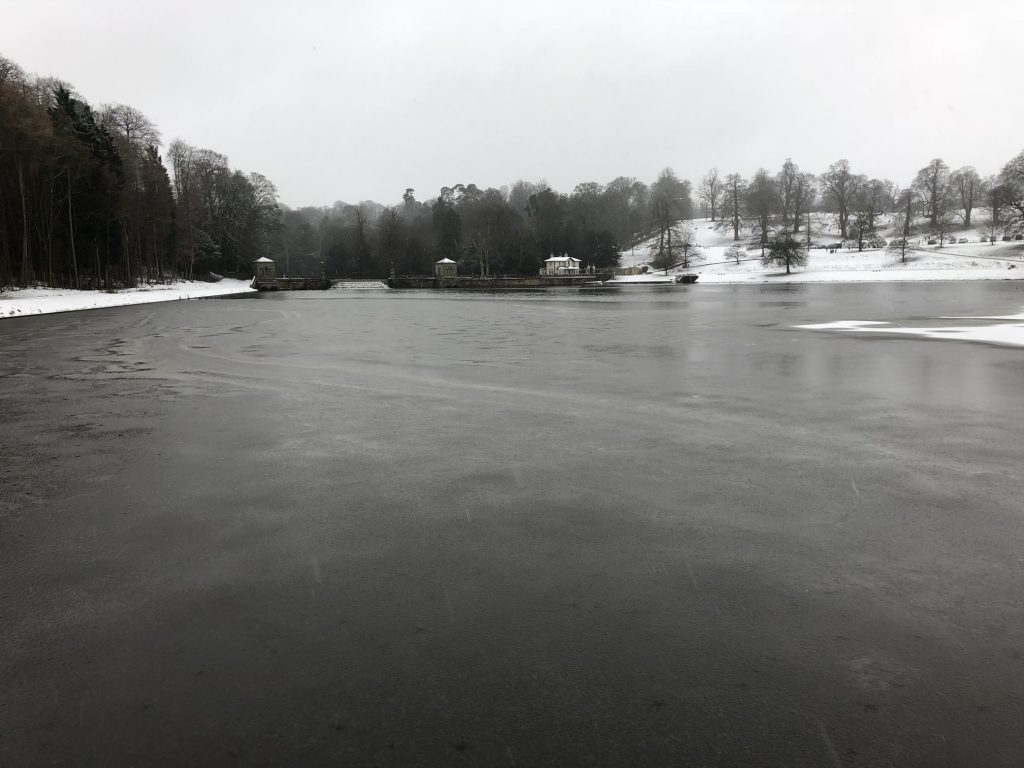
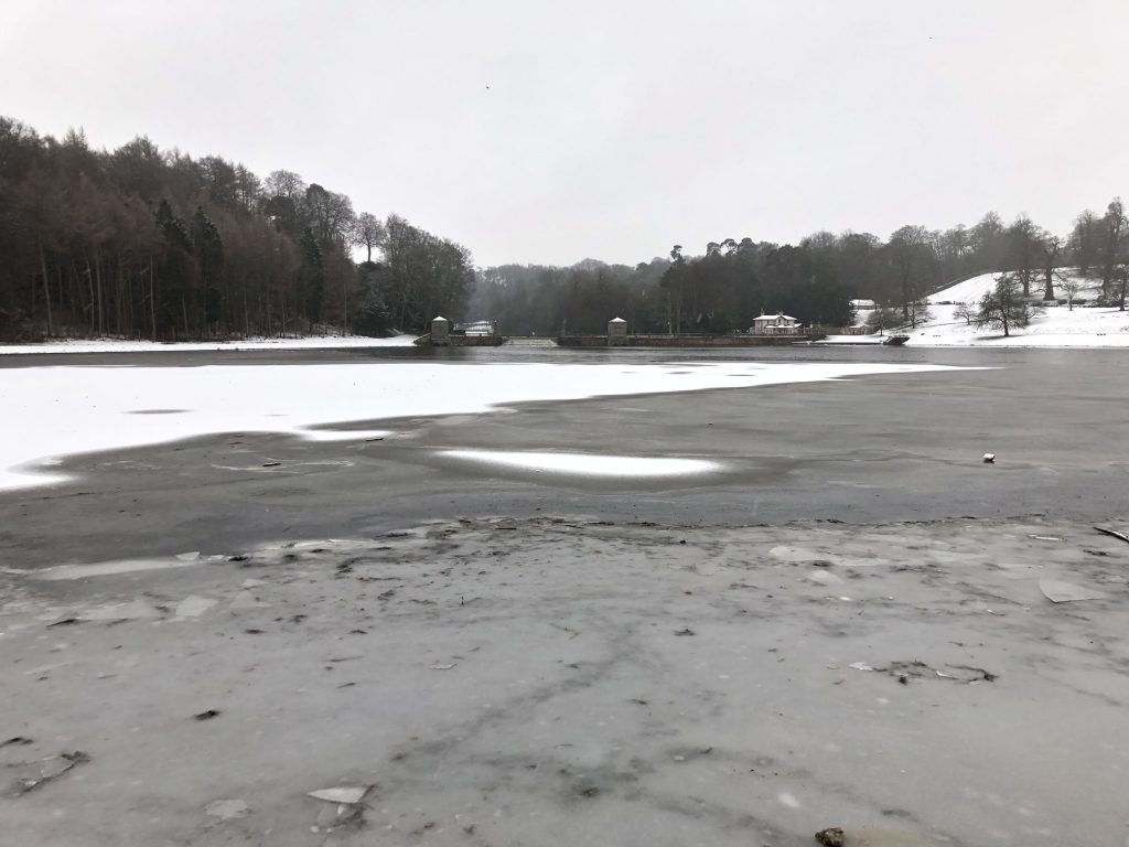
The Lake and Water Garden, Studley Park.
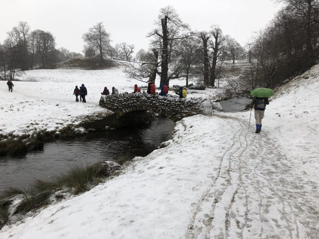
Stone footbridges over the River Skell.


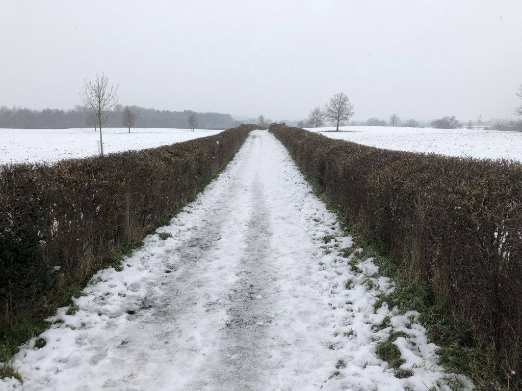
Farmland near Whitcliffe.
