ADVERTISEMENT
Climb Buckden Pike via the Old Lead Mine and Return Through Hubberholme
There are several ways to climb Buckden Pike from Buckden. One popular ascent heads north through Rakes Wood to Buckden Rake, then climbs across Buckden Out Moor. Another follows Buckden Beck north-east through its steep-sided valley, heading more directly into the hills.
This anticlockwise circuit takes a different approach. I walked it recently with friends, and it turned out to be a thoroughly enjoyable route that I would certainly recommend. It climbs the eastern side of Upper Wharfedale, passes through the remains of Buckden Lead Mine and reaches the summit of Buckden Pike at 702 metres.
The return is just as rewarding. A long descent across Buckden Out Moor leads to the hamlet of Cray. From there, a higher path heads west to Scar House before dropping down to Hubberholme and its historic little church. The day finishes with a gentle walk beside the River Wharfe back to Buckden.
The full circuit is just over 8½ miles (13.7 kilometres), with 1,815 feet (553 metres) of ascent. OS Maps gives a walking time of around 4½ hours. That figure doesn’t include breaks, time spent enjoying the views, exploring the lead mine or looking around Hubberholme, so it’s worth allowing extra time for a relaxed day.
If you’d prefer the classic route, which climbs via Rakes Wood and Cow Close, visits the Memorial Cross and descends via Starbotton, take a look at my earlier guide to that route.
ADVERTISEMENT
Buckden Pike: Our Route Through Cray and Hubberholme
From Buckden to Buckden Lead Mine
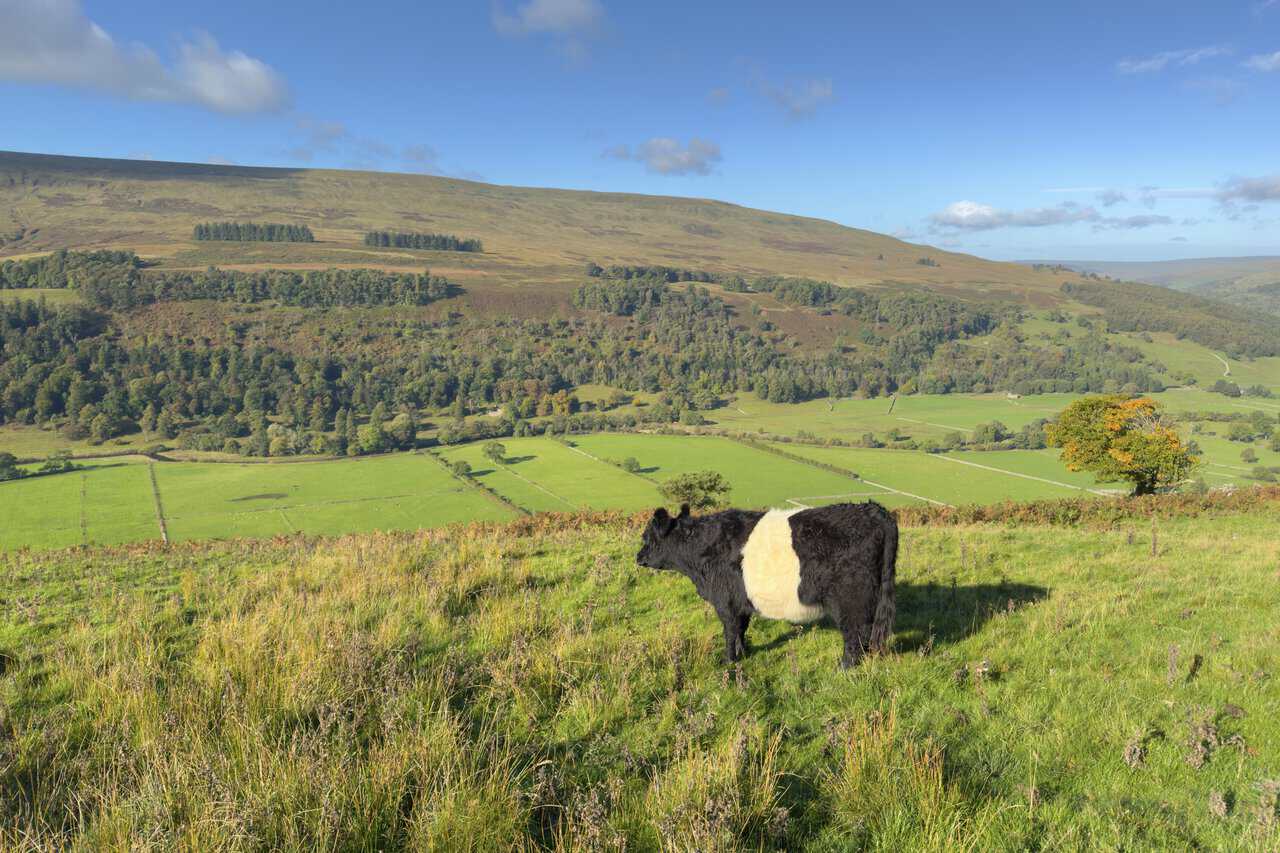
We started from the Yorkshire Dales National Park car park in Buckden, crossed Buckden Beck and began climbing the eastern side of Upper Wharfedale. The path initially heads south-east across the fellside. As we gained height, the views over Buckden and along the valley became more and more impressive. A Belted Galloway grazing on the hillside seemed to be enjoying them just as much as we were.
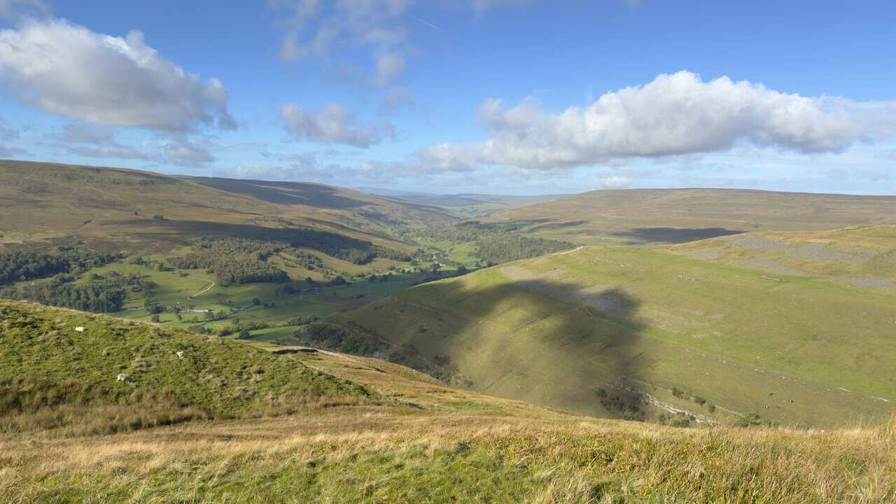
The path then makes a pronounced hairpin turn, almost doubling back on itself, before heading north across the limestone landscape towards Buckden Lead Mine. For a while, it follows a traditional dry-stone wall, and the greener valley scenery gradually gives way to wilder fellside. Shortly before the mine, we looked down into the steep-sided valley that Buckden Beck has carved deep into the hillside.
The Climb to the Summit of Buckden Pike
We passed directly through the remains of the old lead mine, where orange spoil heaps, ruined stonework and surviving mine entrances recall the area’s industrial past. Beyond the workings, the gradient becomes considerably steeper for the main ascent towards Buckden Pike. It’s hard work, but the views back down the valley provide plenty of good excuses to pause.
Once the hardest climbing was behind us, the gradient eased and we joined a flagged path beside a dry-stone wall, which offers a much gentler approach to the summit. Heading north along it, we soon reached the cairn and trig point at 702 metres, with a stone-built shelter nearby.
Reaching the top was well worth the effort. The panorama was superb, with hills stretching away in almost every direction. On a clear day, the distant skyline includes the Yorkshire Three Peaks of Pen-y-ghent, Ingleborough and Whernside.
ADVERTISEMENT
Optional Detour to the Buckden Pike Memorial Cross
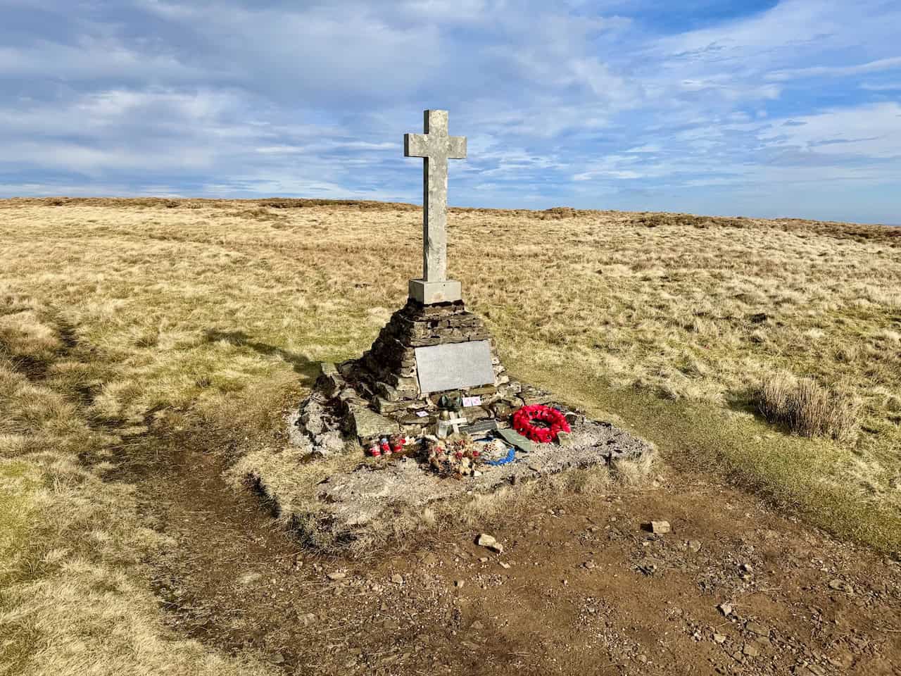
If you’d like to visit the Memorial Cross, turn south instead of north when you reach the paved path at the top of the steep climb. The cross stands about half a mile away, after which you simply retrace your steps and continue north to the trig point. The detour adds roughly a mile in total and isn’t included in the 8½-mile distance.
The cross commemorates five Polish airmen who lost their lives when their Wellington bomber crashed on Buckden Pike during a snowstorm in January 1942. The only survivor, despite a broken ankle, followed a fox’s tracks through the snow to Cray, where local people came to his aid. A bronze fox’s head set into the base of the cross recalls the animal that led him to safety. You can read the full story in my earlier guide to the classic route.
Across Buckden Out Moor to Cray
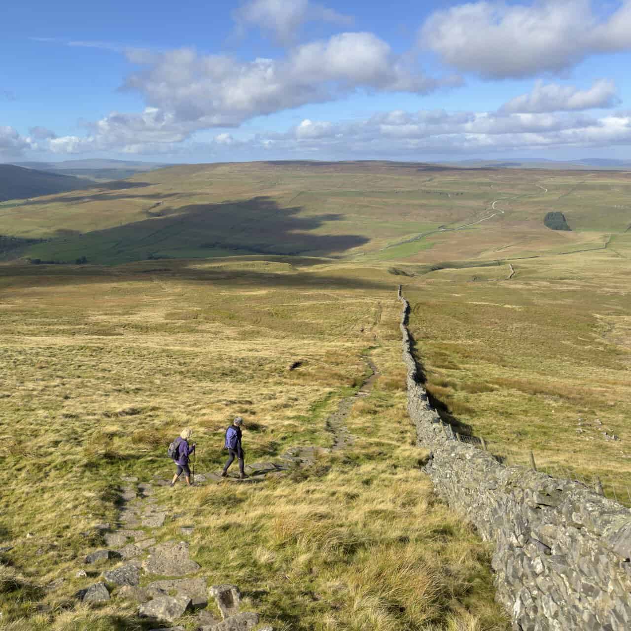
From the summit, we began a steep descent across the broad slopes of Buckden Out Moor, initially on a well-laid line of large stone flags. The gradient gradually eased as we lost height, with the path following a dry-stone wall down through a vast, almost treeless landscape. The far-reaching views stayed with us all the way down.
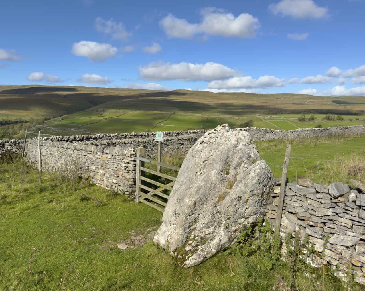
Lower down, the ground is dotted with shake holes, small hollows formed where the surface has gradually subsided into the limestone beneath. We then reached Buckden Rake at a gate beside a large limestone boulder.
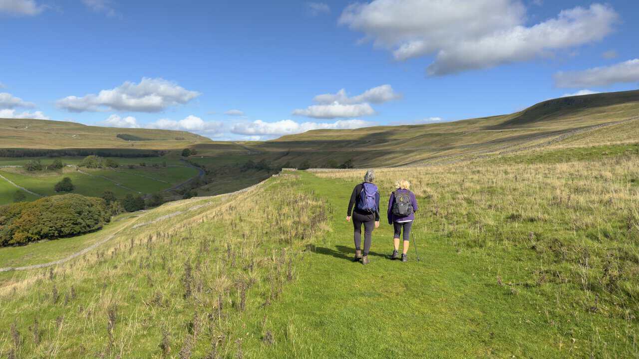
We followed Buckden Rake north across the hillside on an easy grassy path, which made a welcome change after the steeper ground above. It was a wonderfully peaceful stretch before we finally dropped down into Cray, a little hamlet tucked among vivid green fields.
ADVERTISEMENT
Cray, Scar House and Hubberholme
From Cray, we turned west and followed a higher line towards Scar House, staying above the wooded northern side of the valley. The woodland below gives this part of the walk a different character, while the path keeps to the grassy hillside, with lovely views across the dale and the surrounding fells. Beyond Scar House, a track led us downhill through the fields to Hubberholme, at the lower end of Langstrothdale.
Reaching Hubberholme was another highlight. We spent some time looking around St Michael and All Angels Church, a wonderfully atmospheric building with a fascinating history. Inside, we learned about its links with the Channel 5 series All Creatures Great & Small and the Yorkshire writer J. B. Priestley, which I’ve covered in more detail below.
The George Inn stands just across the River Wharfe from the church, and the route passes directly by it. We didn’t call in on this occasion, but it would make an ideal spot for a mid-walk break.
Back to Buckden Along the Dales Way
From Hubberholme, we joined the Dales Way, which here also forms part of A Pennine Journey, and followed the River Wharfe eastwards through Upper Wharfedale towards Buckden. This gentler riverside return made a lovely contrast to the high moorland we had crossed earlier in the day.
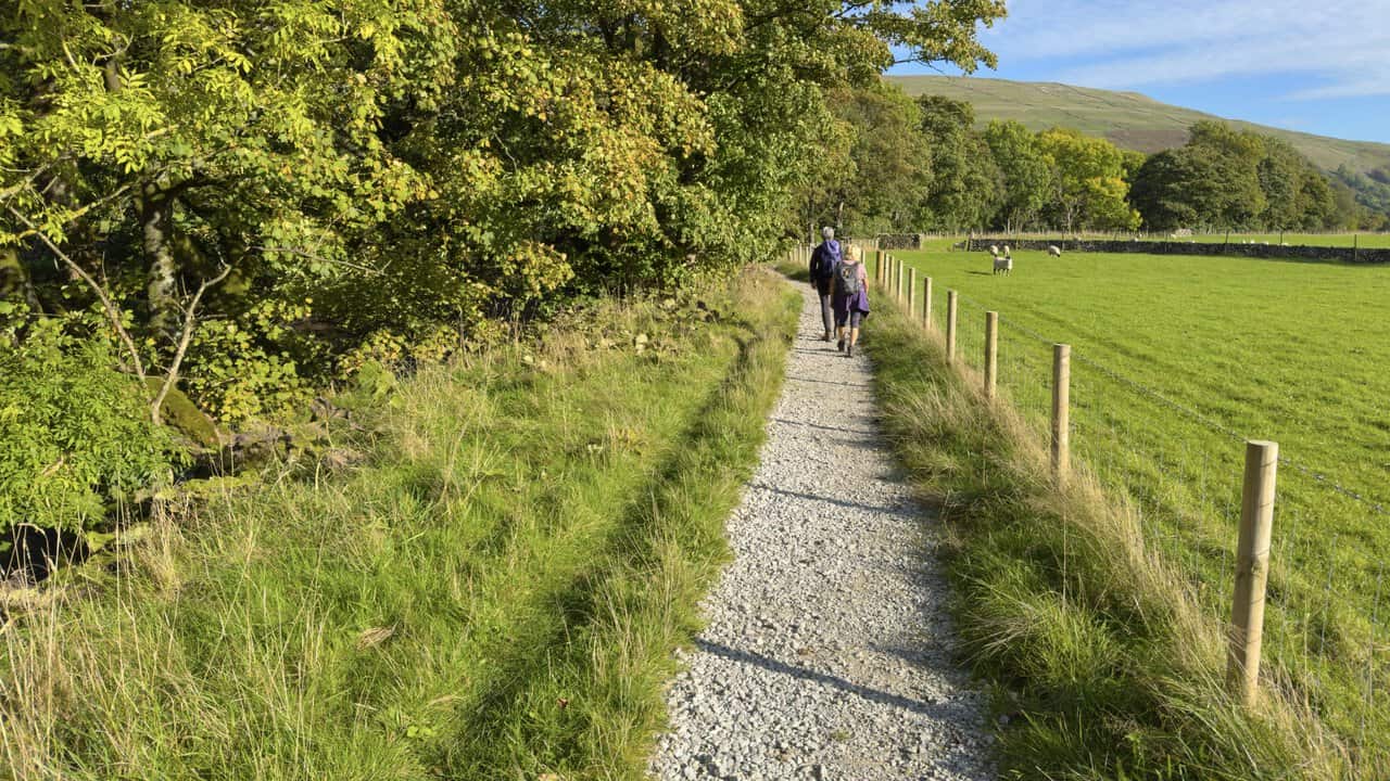
A newer section of path now avoids almost all of Dubb’s Lane, so the final stretch stays largely beside the river and through the fields. Its firm gravel surface makes for a particularly pleasant finish.
Back in Buckden, we rounded off a really enjoyable day with a drink at The Buck Inn. This circuit packs a great deal into a single walk: a varied fellside ascent, tremendous summit views, old lead-mining remains, open limestone moorland, the settlements of Cray and Hubberholme, an atmospheric church and a gentle riverside finish. I thought it was an excellent way to experience Buckden Pike.
Buckden Pike Walk: Maps and Tools
Visit either the OS Maps website or the Outdooractive website to view this walking route in greater detail. Both platforms offer a range of features, including the ability to print the route, download it to your device, and export the route as a GPX file. You can also watch a 3D fly-over and share the route on social media.
Recommended Ordnance Survey Map
The best map to use on this walk is the Ordnance Survey map of the Yorkshire Dales Northern & Central Area, reference OS Explorer OL30, scale 1:25,000. It clearly displays footpaths, rights of way, open access land and vegetation on the ground, making it ideal for walking, running and hiking. The map can be purchased from Amazon in either a standard, paper version or a weatherproof, laminated version, as shown below.
Standard Version
Yorkshire Dales Walking Guidebooks
Walking in the Yorkshire Dales: North and East, by Dennis Kelsall, describes 43 circular day walks of 3 to 12 miles across the Howgills, Mallerstang, Swaledale, Wensleydale, Coverdale and Nidderdale, with Ordnance Survey mapping and notes on parking and refreshments.
15 Short Walks in the Yorkshire Dales, by Jonathan and Lesley Williams, covers the area around Sedbergh, Kirkby Lonsdale and Ingleton. Its 15 routes of 1 to 7 miles each take under three hours, ideal for families or a relaxed half day out. Both books can be purchased from Amazon, as shown below.
Walking the Yorkshire Dales
Buckden Pike: History Along the Way
Buckden Lead Mine
Buckden Lead Mine, also known as Buckden Gavel Mine, lies at the head of Buckden Beck on the flank of Buckden Pike. Lead was already being mined on the fell in the 1690s. The level whose entrance we passed was begun in the early 1800s, when Robert Higgs and Company started driving it into the hillside.
Members of the Lodge and Tennant families went on to work the mine for around 70 years. Below the spoil heaps lie the remains of an even older smelt mill, which operated for only about eight years, over a century before the level was driven. The site is now a scheduled monument.
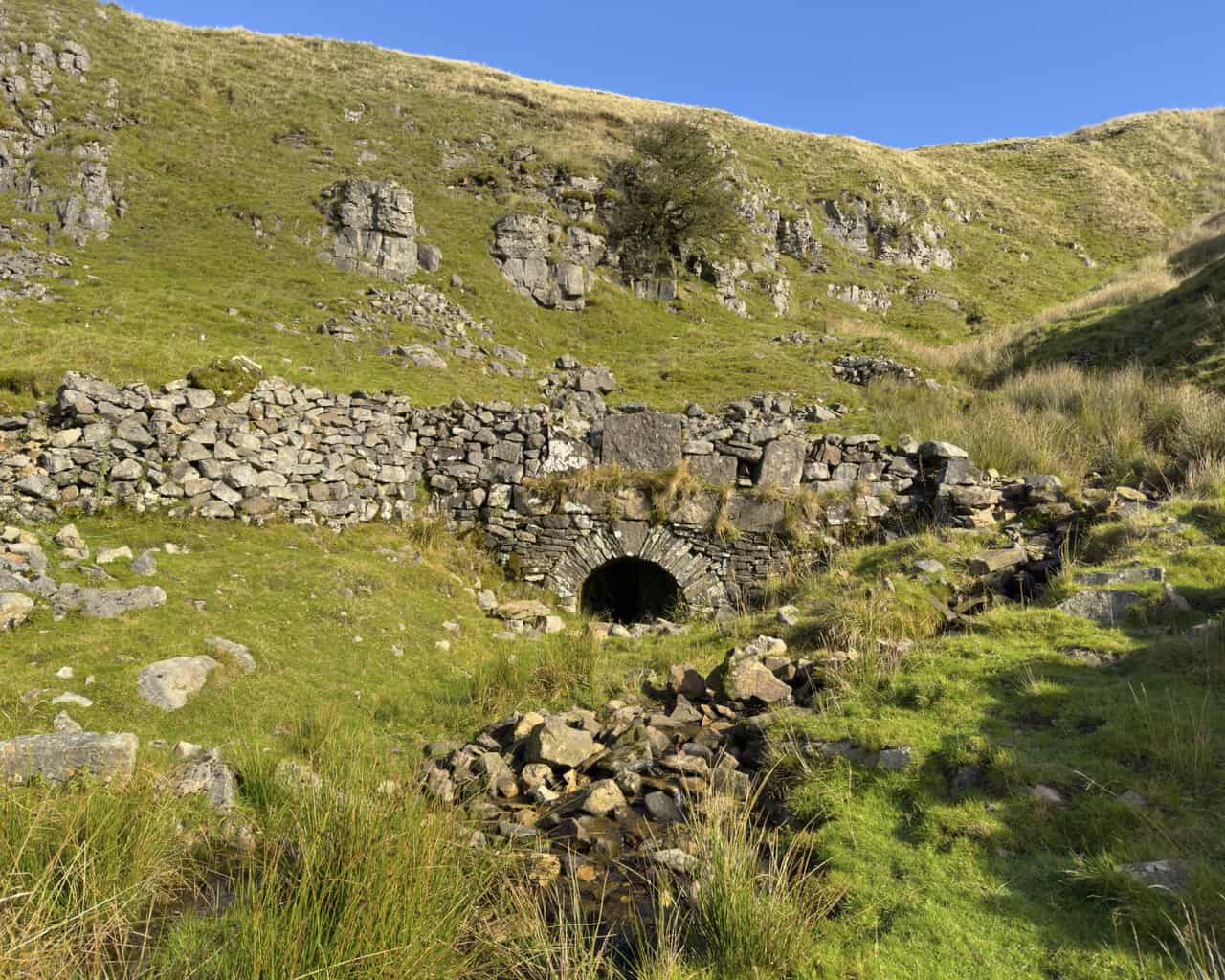
The arched entrance beside the path is the mouth of that level, also called an adit. The workings beyond it are extensive and dangerous, with hidden holes in the floor, so admire the stonework from outside and never venture in.
Buckden Rake
Buckden Rake, the old track leading north towards Cray, is widely thought to follow the line of a Roman road between the forts at Ilkley and Bainbridge. Until the B6160 was built in the 19th century, it was also the main link between Wharfedale and Wensleydale.
Scar House
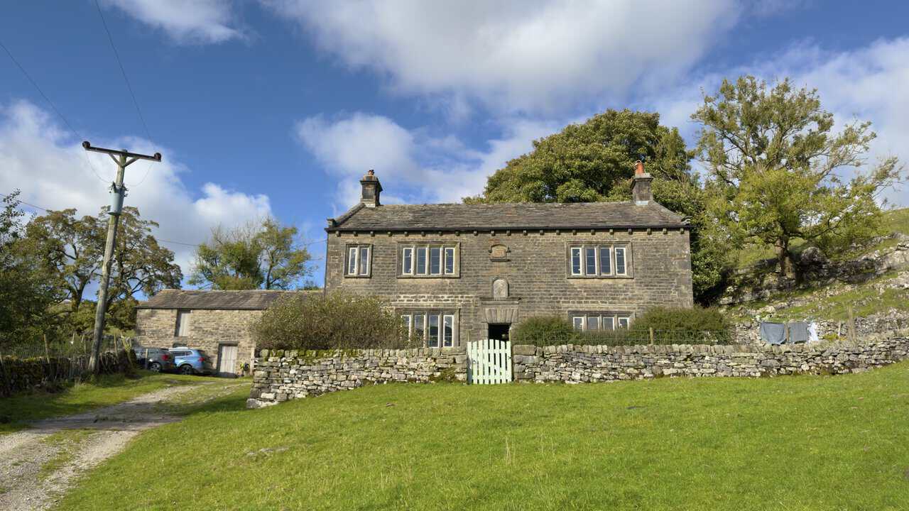
Scar House is a Grade II listed farmhouse, with a datestone of 1698 above the door, although parts of the building are probably older. A second plaque records that the front was rebuilt in 1876 for John William Ramsden of nearby Buckden House.
The house has an important place in Quaker history. George Fox, the founder of the Quakers, preached here in 1652, and Scar House went on to serve as a meeting place for local Friends. It also has a small Quaker burial ground, although there are no headstones.
St Michael and All Angels Church
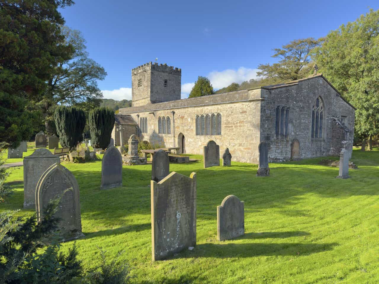
Hubberholme’s church dates back to the 12th century and began life as a chapel in the Norman hunting forest of Langstrothdale Chase. Today it is a Grade II* listed building and the parish church for Langstrothdale. Like many rural churches, it relies on donations for its upkeep, which visitors can make at the church or online.
Its greatest treasure is the painted wooden rood loft, dated 1558. Most rood lofts were destroyed after the Reformation, and this is one of only two that survive in Yorkshire, the other being at Flamborough. The loft is thought to have come from Coverham Abbey, which once owned the church.
Look closely at the oak pews, choir stalls and chairs, too. They were made by Robert Thompson, the “Mouseman of Kilburn”, and his trademark carved mice are hidden in many places around the church.
The Bradford-born writer J. B. Priestley, author of The Good Companions and An Inspector Calls, adored this corner of the Dales. In The Other Place (1953), he described Hubberholme as “one of the smallest and pleasantest places in the world”. In 1966, he went further, calling it “sheer magic, not quite in this world”. When he died in 1984, his ashes were buried in the churchyard. A plaque inside the church commemorates him, but there is deliberately no marked grave.
More recently, the church interior was used for James and Helen’s wedding in series 3 of All Creatures Great & Small, while the outdoor scenes were filmed at its sister church, St Oswald’s in Arncliffe. Filming took place on a dry day in March, with every hanging candle lit. To improve the sound, the crew even raised a huge helium balloon into the roof, taking care to blow out the candles first. Hubberholme later appeared again for the christening of their son, Jimmy.
The George Inn
The George Inn dates from the 17th century. It began life as a farmhouse and later served as the vicarage for the church opposite. It became an inn in 1754 but remained in church ownership until 1965. The vicar used to place a lighted candle in the window when he was at home, and the pub still keeps a candle burning on the bar whenever it is open.
Each January, the candle plays its part in the Hubberholme Parliament, an ancient auction to let around 16 acres of pasture. Bidding continues until the candle goes out, and the money raised helps local people in need. The pub was also a favourite haunt of J. B. Priestley. Opening hours vary through the year, so it’s worth checking before you set off if you plan to call in.
The Dales Way and A Pennine Journey
The Dales Way is a long-distance route of around 80 miles, running from Ilkley to Bowness-on-Windermere. A Pennine Journey is a 247-mile circular route from Settle, based on a solitary walk that Alfred Wainwright made through the Pennines in 1938.
Buckden Pike: My Photos
Shortly after leaving the car park and crossing Buckden Beck, we started our climb up the eastern side of the dale. It wasn’t long before we were enjoying lovely views back over Buckden, with the village tucked among the trees and fields below and the broad slopes on the far side of the valley rising beyond.
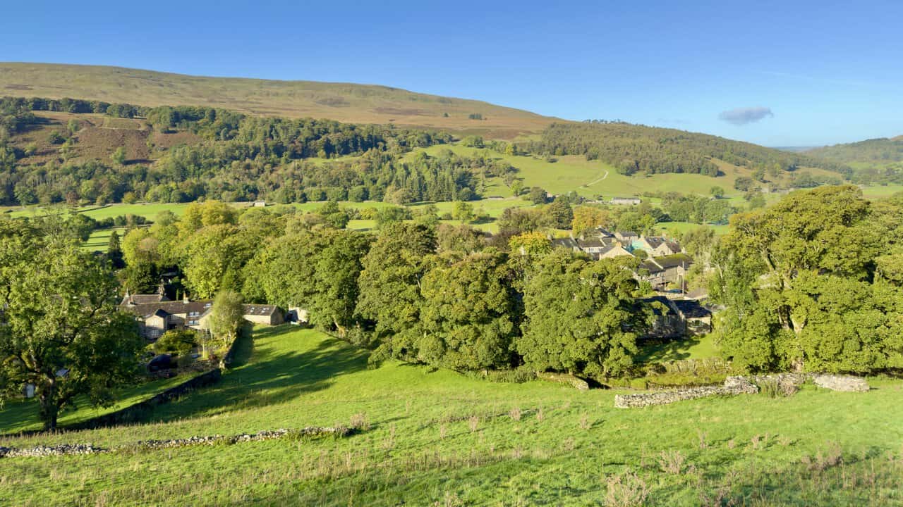
As we gained more height, the view opened out across the bright green fields of Upper Wharfedale towards Birks Fell. The patchwork of dry-stone walls, pasture, woodland and open moorland gave us an early taste of the varied scenery that would stay with us for the rest of the day.
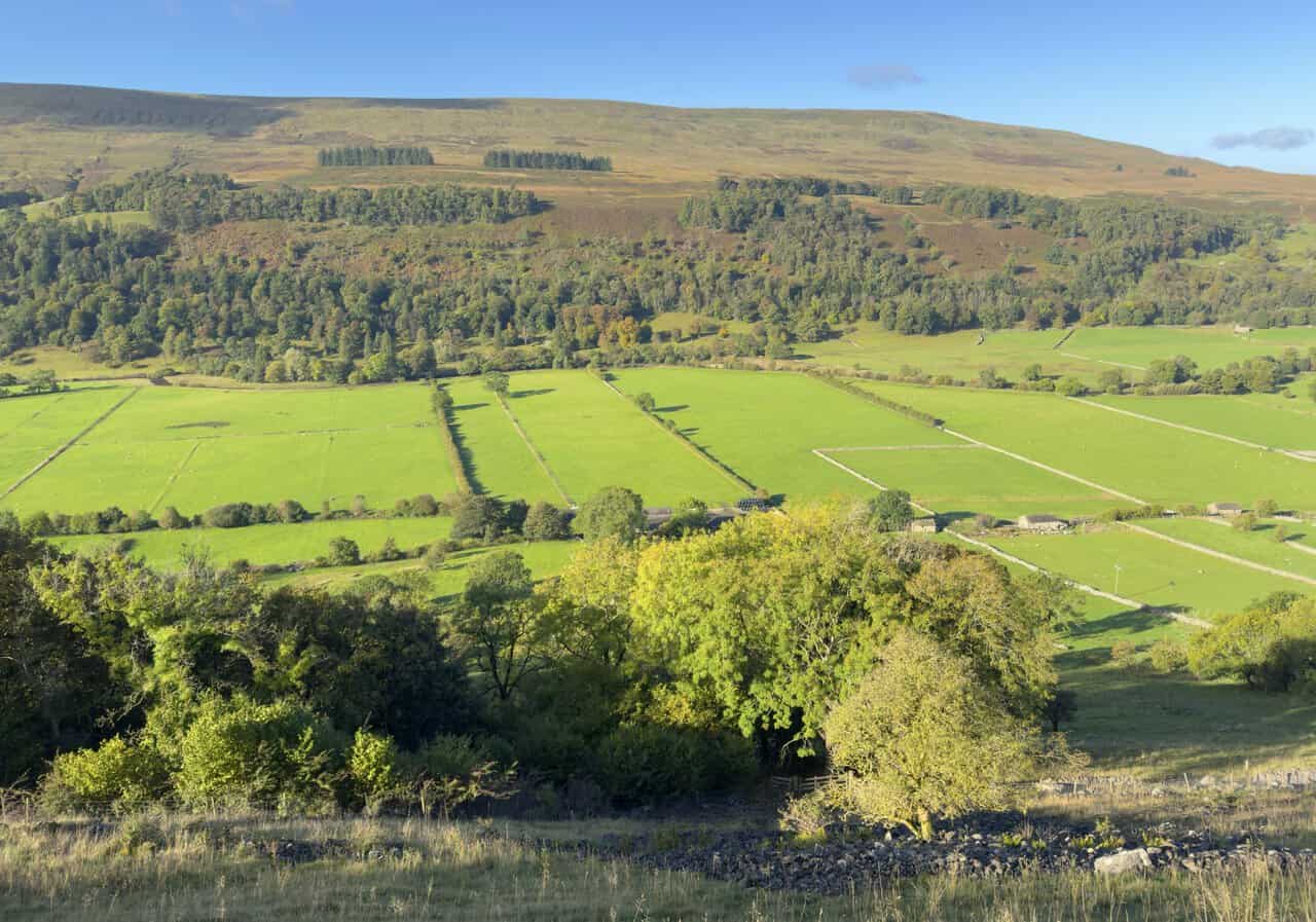
A little further along the fellside, we came across a Belted Galloway that seemed to be enjoying the view just as much as we were. This hardy Scottish breed, easily recognised by the white band around its middle, is well suited to grazing on the hills. Behind it, the vivid green fields of the valley contrasted beautifully with the rougher moorland on the slopes of Birks Fell.
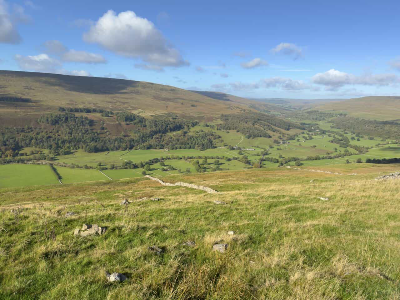
Turning to look west, we could see along Upper Wharfedale towards Hubberholme and the lower end of Langstrothdale. Hubberholme lies among the trees on the valley floor, and we would be visiting its church, St Michael and All Angels, later in the walk.
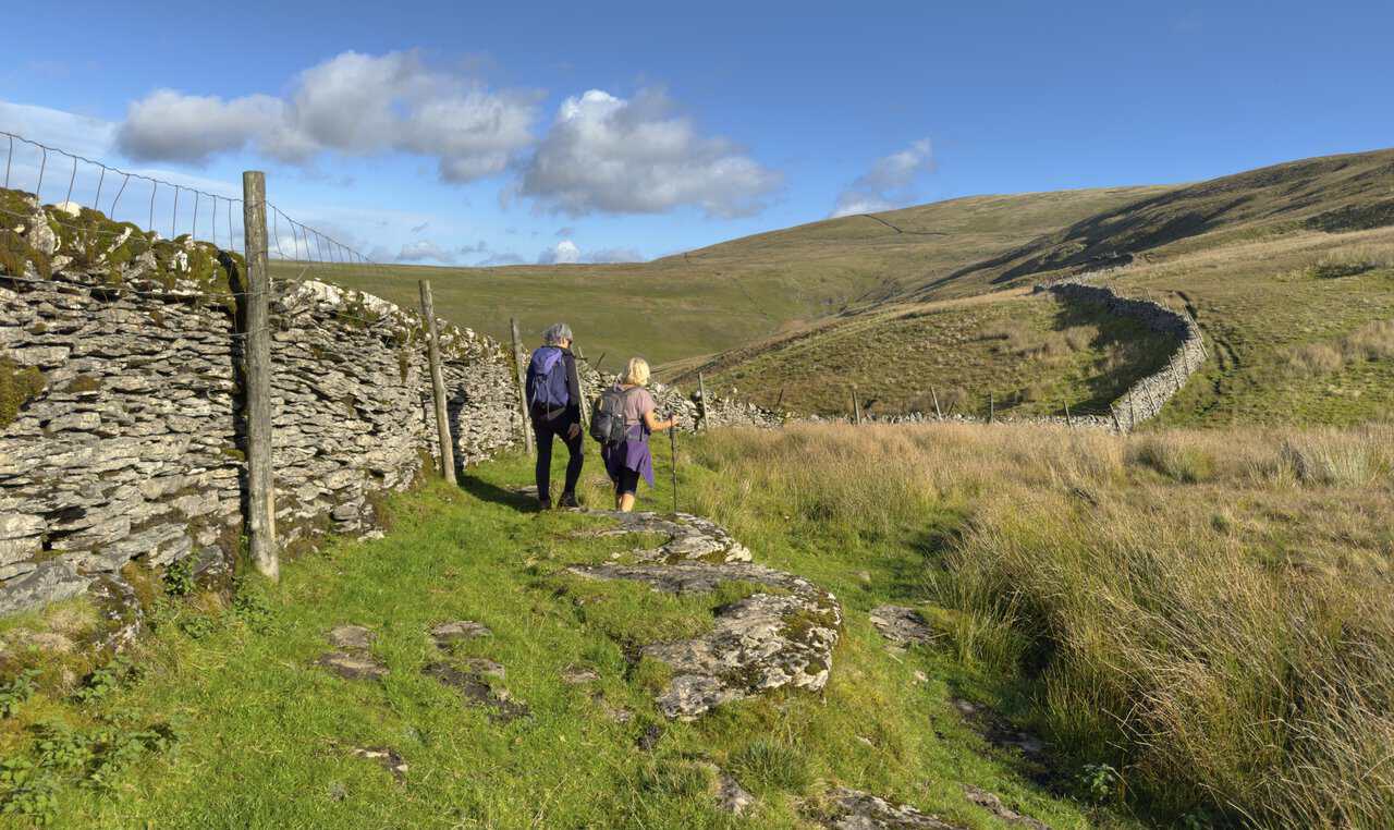
After making the pronounced hairpin turn on the hillside, we headed north towards Buckden Lead Mine. Our path followed a traditional dry-stone wall across increasingly open ground, and the greener valley scenery gradually gave way to the wilder fellside ahead.
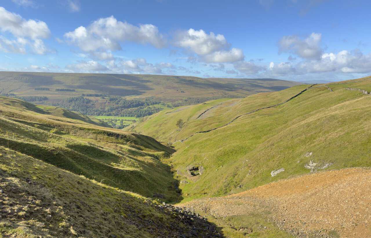
As we drew closer to the mine, the ground fell away into the steep-sided valley that Buckden Beck has carved deep into the fellside. It made a striking sight, with Upper Wharfedale opening out in the distance beyond.
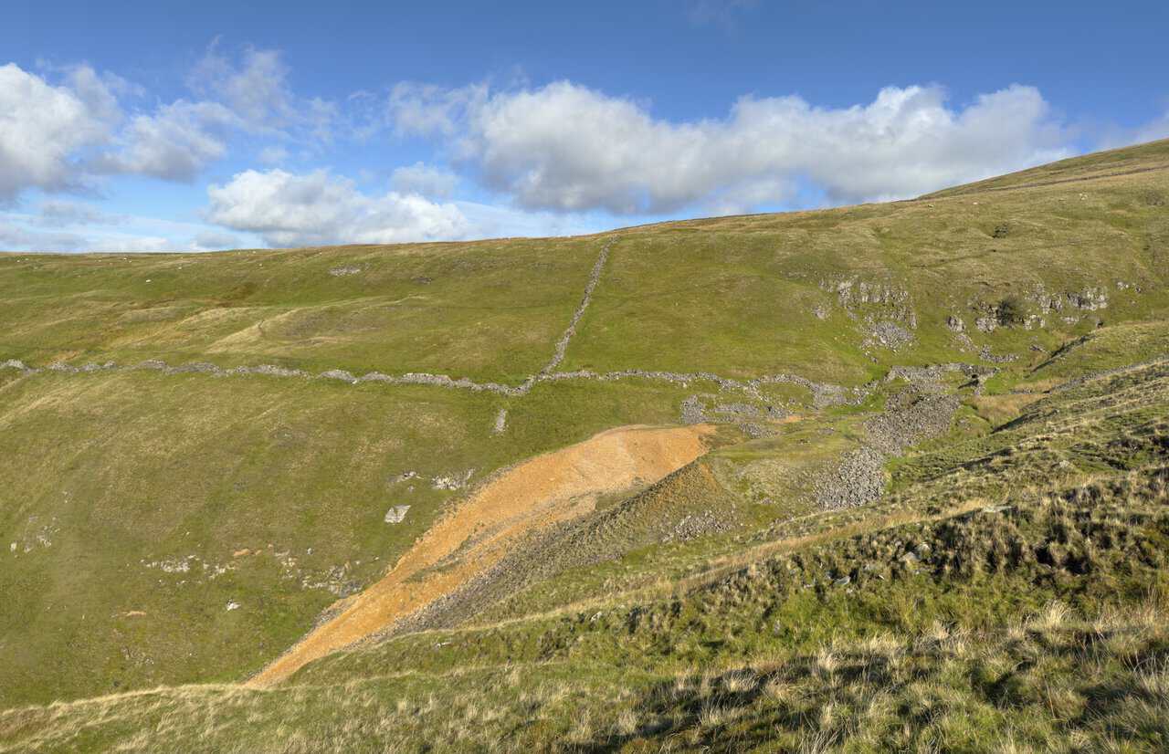
Soon afterwards, we approached the remains of Buckden Lead Mine, where the landscape began to show clear signs of its industrial past. Orange-coloured spoil heaps of waste rock, old stonework and disturbed ground stood out strongly against the surrounding green and brown slopes.
Looking back from the mine, we could see the narrow valley of Buckden Beck cutting a deep line through the hills. Further down, it opened out towards the greener fields and woodland of Upper Wharfedale.
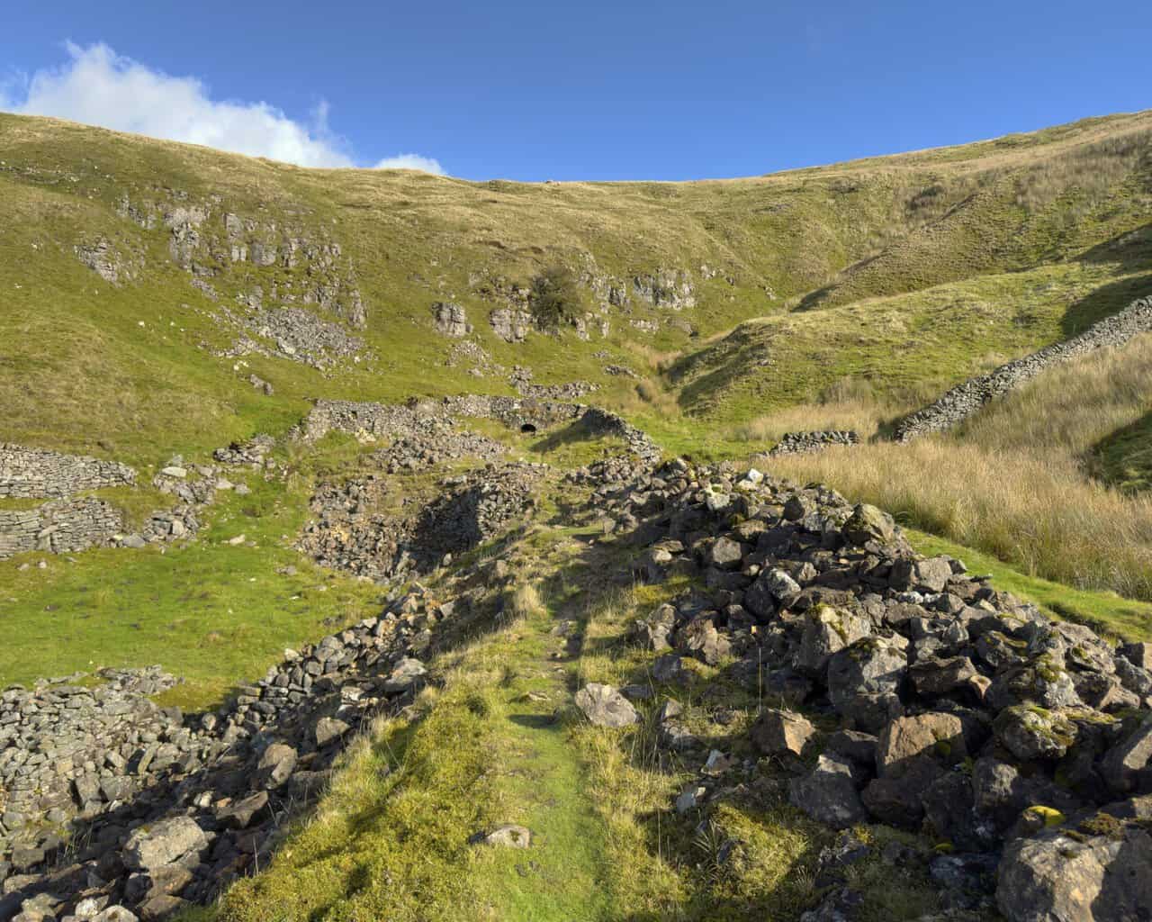
We then made our way into the heart of the old mine workings. Ruined walls, scattered rock and mining debris surrounded the path as it threaded its way towards one of the surviving mine entrances, known as adits.
Taking a closer look at the entrance, we admired its carefully built stone arch, with water still trickling out from beneath it. Surrounded by ruined walls and rocky debris, it remains a vivid reminder of the lead mining that once took place high on these fells. The workings inside are extensive and unsafe, so we were content to admire it from outside.
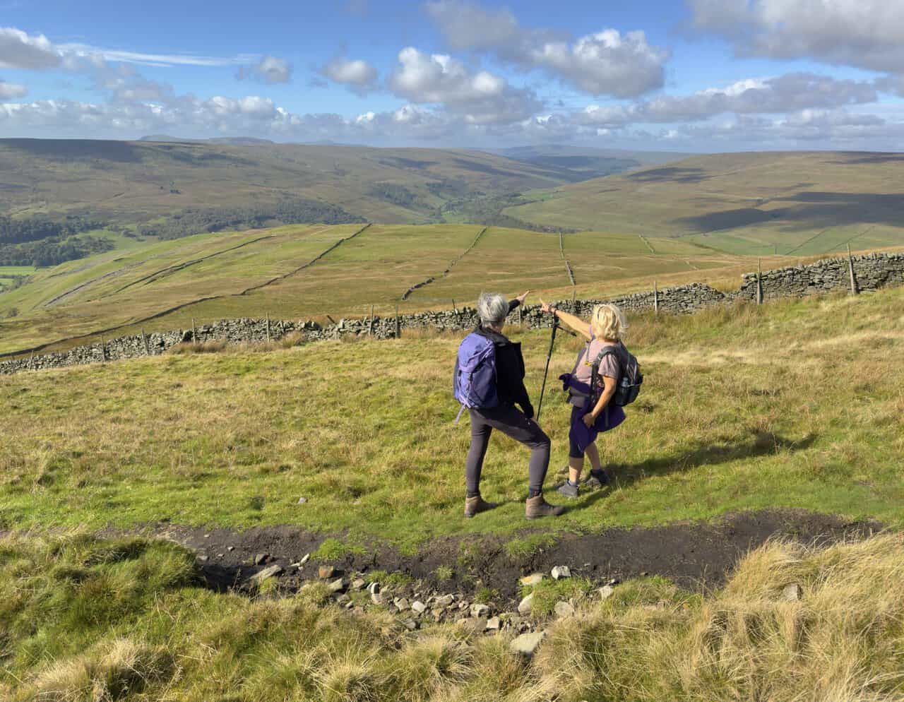
Beyond the mine, the climb became much steeper, so we were glad of a moment to pause and enjoy the scenery. The valley was already falling away dramatically below us, and the ever-widening panorama gave us a very good excuse to stop and look back.
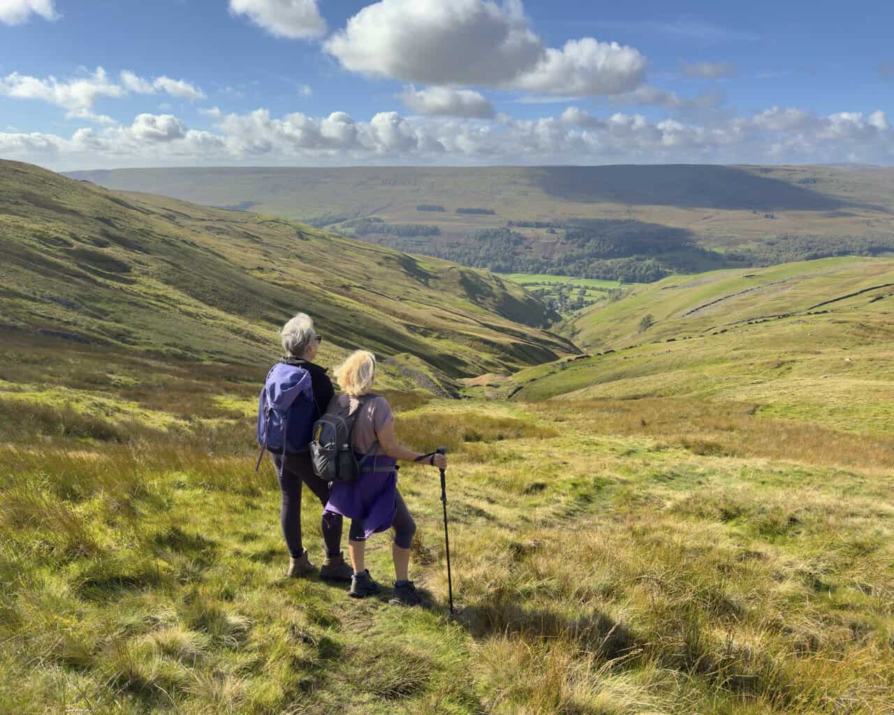
Higher up, the views became enormous, and we could pick out the distant Yorkshire Three Peaks of Pen-y-ghent, Ingleborough and Whernside. Mile after mile of Yorkshire Dales countryside stretched away beneath the clouds.
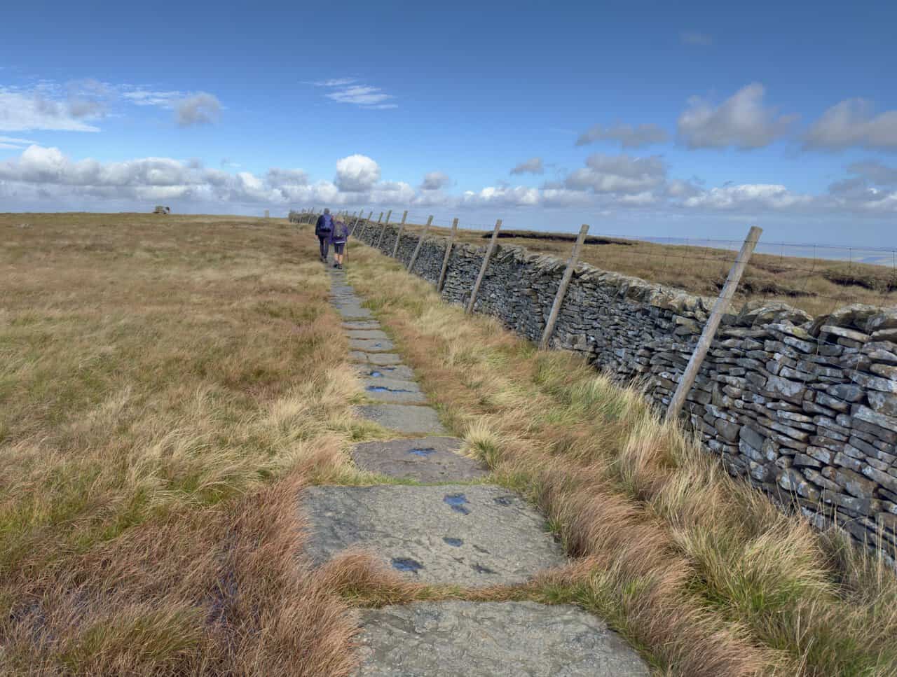
Once the steepest climbing was behind us, the final approach to Buckden Pike became much easier. A well-laid flagged path led us across the open summit moorland beside the dry-stone wall, making the last stretch to the top pleasantly straightforward.
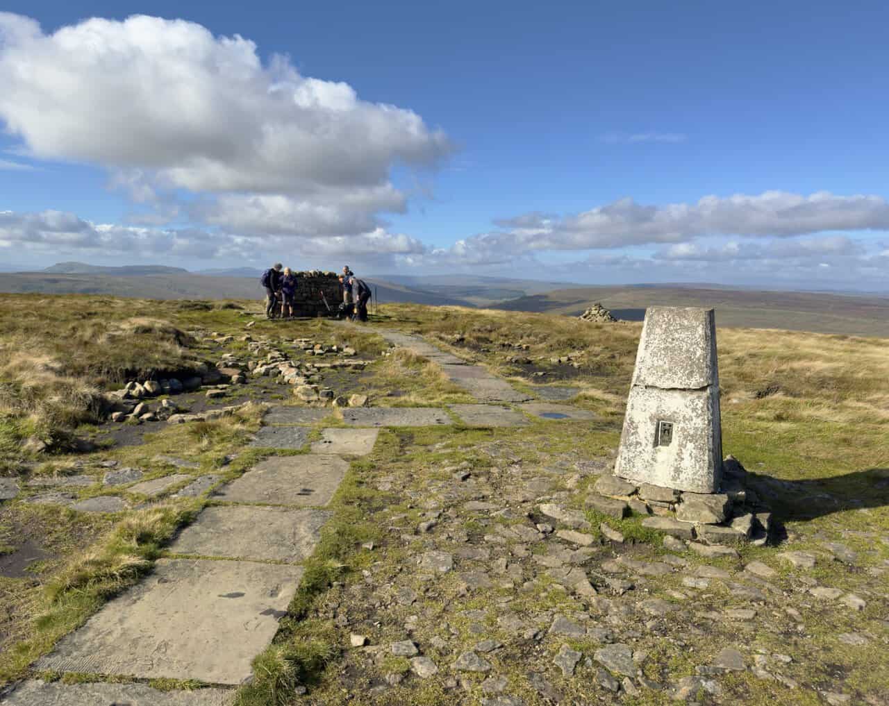
Before long, we reached the trig point at the summit of Buckden Pike, with its stone-built shelter nearby. At 702 metres, this was the highest point of the walk and a superb place to catch our breath and take in the tremendous views across the Yorkshire Dales.
After enjoying the summit, we began our descent on a line of large stone flags beside the wall. The hillside dropped away quite steeply at first, but the firm, well-laid surface made this opening section reassuringly straightforward underfoot.
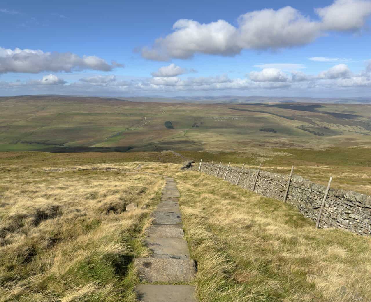
The long descent continued across Buckden Out Moor, with the path following the dry-stone wall down through a vast, almost treeless landscape. It gave us a wonderful feeling of space and showed just how extensive the surrounding high ground really is.
Eventually, we reached Buckden Rake, where a large limestone boulder stands beside the gate and dry-stone wall. After the long and sometimes steep descent, this marked the start of a noticeably gentler stage of the walk.
From the gate, we enjoyed an easy walk northwards along Buckden Rake, an old track thought to follow the line of a Roman road. The grassy path made a welcome change after the steeper ground above, and the broad surrounding slopes made this a quiet, unhurried part of the day.
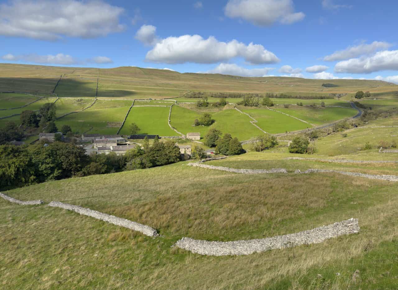
Further along Buckden Rake, Cray came into view below us, tucked into a patchwork of lush green fields. Dry-stone walls divided the pastures into an intricate pattern, with the open fells rising beyond.
The path then dropped down into Cray, where we passed a group of farm buildings with the slopes of Buckden Pike rising behind them. Having crossed the high ground earlier in the day, we enjoyed looking back up at it from the greener, more sheltered surroundings of the valley.
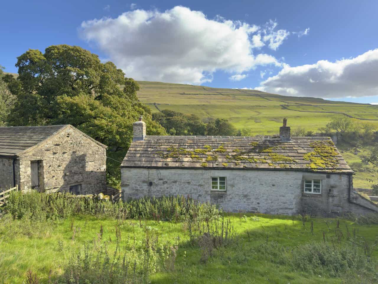
Leaving Cray, we turned west and followed a higher path above the wooded northern side of the valley. In time, we approached Scar House from the rear, with its buildings sitting among trees, grassland and scattered limestone. By now, the walk had taken on a far more settled character, very different from the exposed moorland around Buckden Pike.
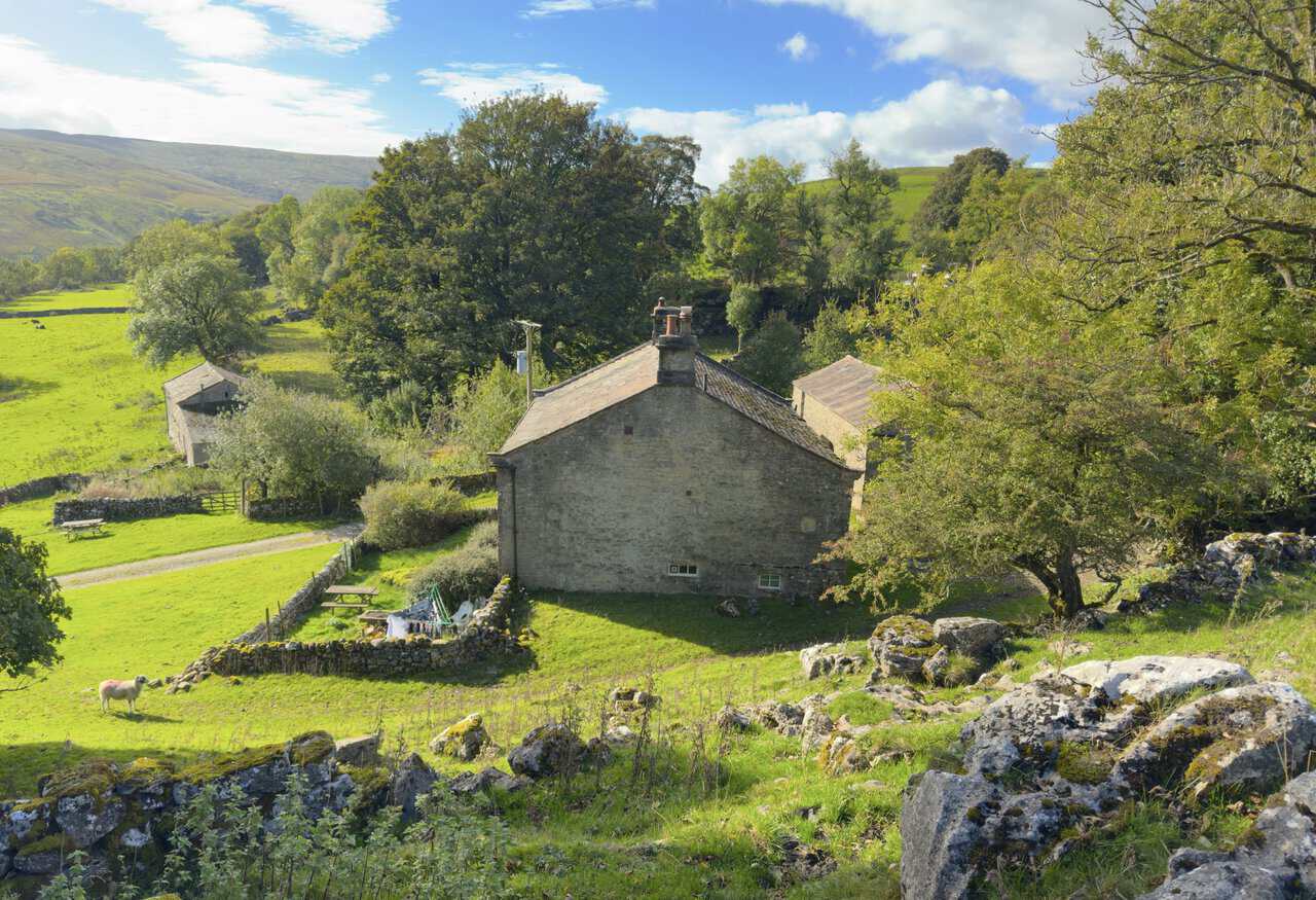
Passing the front of the house, we could see what an attractive building Scar House is, set in a fine position above the valley. George Fox, founder of the Quakers, preached here in 1652, and the plaques above the door record a date of 1698 and the rebuilding of the front in 1876. Dry-stone walls, mature trees and open fields surround the house, giving it a traditional Dales character.
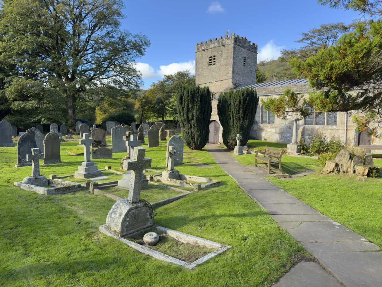
A track then led us downhill through the fields to Hubberholme, where we found St Michael and All Angels Church standing in its peaceful churchyard. With its sturdy stonework, square battlemented tower, old gravestones and surrounding trees, it made a timeless scene at the lower end of Langstrothdale.
We wandered across the churchyard, where a path leads between old gravestones and tall yew trees to the church entrance. The churchyard has an important literary connection, too, as the ashes of the Yorkshire writer J. B. Priestley, who adored Hubberholme, were laid to rest here in a deliberately unmarked spot.
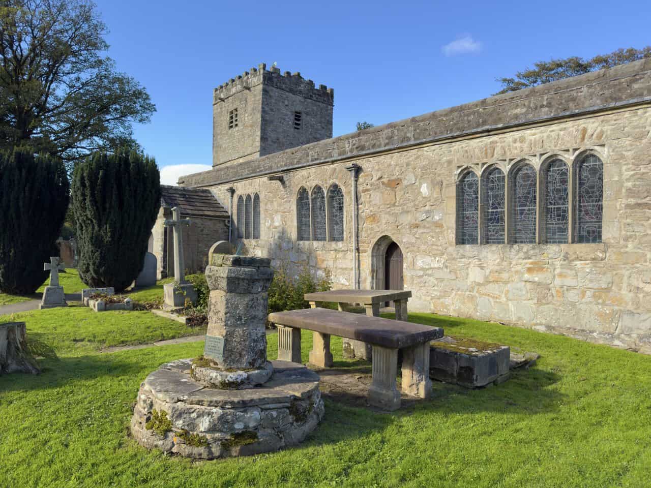
Moving closer, we admired the south side of the church, with its warm stonework, traceried windows and simple, solid character. We were very glad we had taken the time to stop, as there was far more to discover here than we had expected.
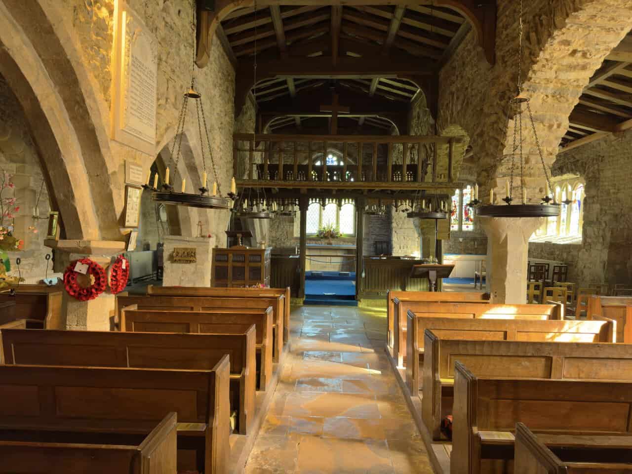
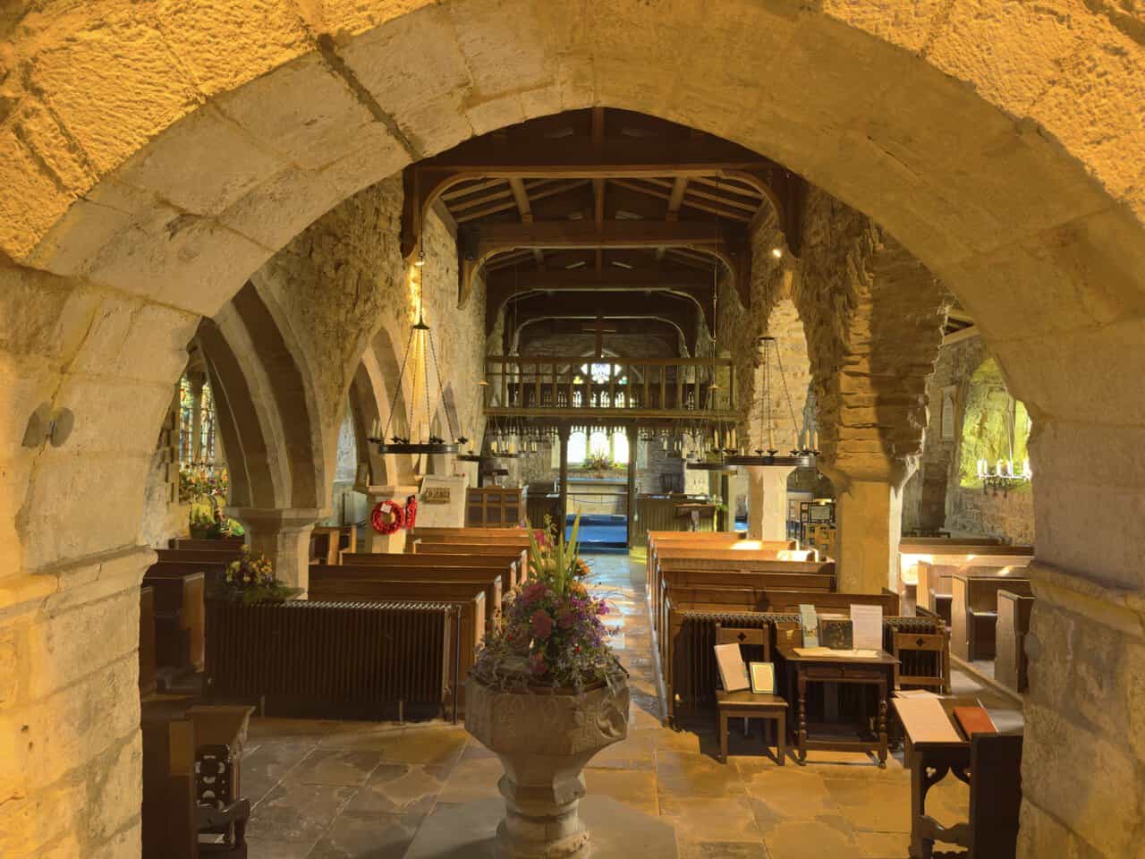
Stepping inside, we looked along the nave towards the painted wooden rood loft and the chancel beyond. Dated 1558, the rood loft is one of only two that survive in Yorkshire. The stone arches, wooden pews and distinctive circular candleholders make for a deeply atmospheric interior. It was here that the indoor scenes of James Herriot and Helen Alderson’s wedding were filmed for the Channel 5 series All Creatures Great & Small.
We also looked through one of the broad stone arches towards the centre of the church, with the font in the foreground and the impressive rood loft beyond. The hanging candleholders were a particularly memorable feature. An information board told us that every candle was lit for the TV wedding, which must have made a magical sight.
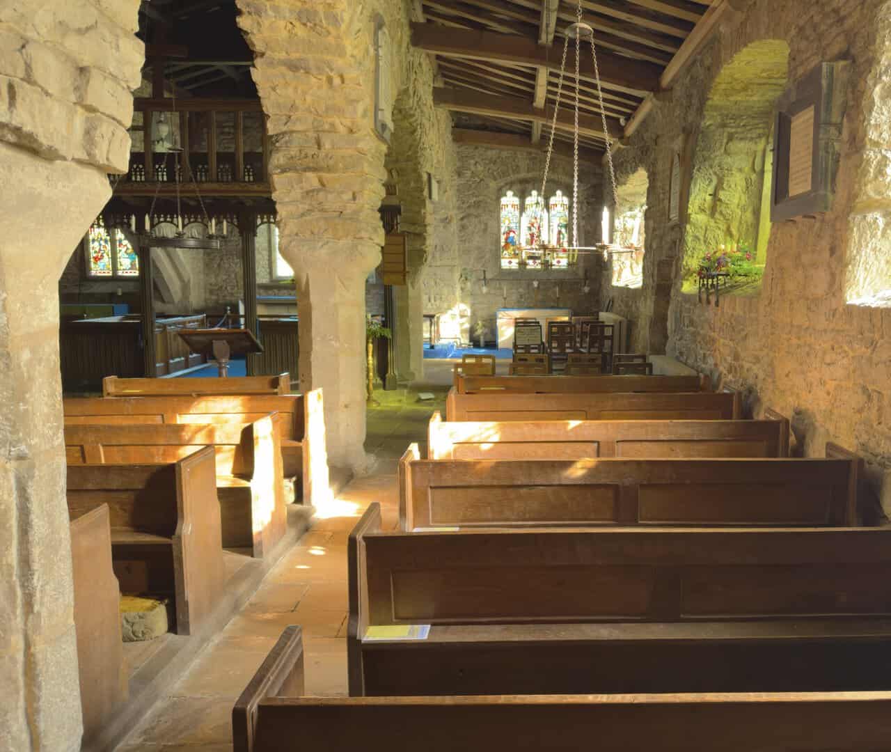
Before leaving, we enjoyed a quieter corner of the church, where sunlight caught the wooden pews and filtered through the stained-glass windows onto the old stonework. The pews were made by Robert Thompson, the “Mouseman of Kilburn”, whose trademark carved mice are hidden in many places around the church. It was one of those places where we were happy to linger, and our visit became an unexpected highlight of the day.
Back outside, we passed The George Inn and joined the Dales Way for the final stretch, heading eastwards beside the River Wharfe towards Buckden. A newly laid section of path, with woodland on one side and bright green pasture on the other, made for a gentle, relaxing finish after the high ground of Buckden Pike. It also avoids almost all of Dubb’s Lane, so the walk ends largely in the countryside beside the river.