ADVERTISEMENT
Through Ganthorpe and the Howardian Hills on the Castle Howard Circular Walk
This Castle Howard circular walk begins in the North Yorkshire village of Bulmer and covers roughly 8¾ miles. There is some roadside parking along the main road through the village, but the better option is a small lay-by opposite a group of bungalows called St Martin’s Field. The lay-by sits close to the red telephone box on the opposite side of the road.
From the lay-by, head east along the road towards St Martin’s Church, which will be on your right. Walk past the church and follow the road out of the village. The road bends first to the left and then to the right. As it bends right, turn left along a narrow tarmac lane, passing a small village green on your right with a large oak tree in the middle of it, and Oak Tree Cottage on your left. Continue past Bulmer Village Hall, then take the public footpath on the right signposted to Brandrith Wood.
Follow the footpath across two grassy fields to a wooden kissing gate in the hedgerow. Go through the gate, turn right and walk along the field edge to reach the main road. Turn left, and a couple of minutes later turn right onto the public footpath signposted to Brandrith Wood. Walk along the edge of two fields, then turn left towards the wood. The path runs for half a mile through Brandrith Wood before bringing you out on the main road known as The Stray.
Turn left and head towards the Gate House, taking care as this is quite a busy road. Walk through the arch of the Gate House and turn right onto a tarmac road. A wooden signpost for Coneysthorpe appears soon afterwards to confirm you are on the right track. Follow this quiet lane for three quarters of a mile, passing the Towers and The Pyramid on your right. As you pass The Pyramid, you are about a quarter of the way round your Castle Howard circular walk.
ADVERTISEMENT
At the crossroads with the Centenary Way, turn left, signposted Coneysthorpe, and follow the stone track down towards New River Bridge. As you cross the bridge, look right for the Mausoleum on Kirk Hill. Continue straight on up the grassy bank towards the Temple of the Four Winds. Walk past the Temple, then follow the path alongside the high dry stone wall on the edge of the woodland. Keep beside the wall, go through a gate and into the woods.
At the far side of the woods you reach a T-junction. Turn left onto the wide stone track, which bends round to the right and passes a children’s adventure playground. Follow this track across the estate for half a mile to reach the northern boundary and the main road. Turn left and head towards Coneysthorpe, continuing straight ahead with the village on your right. A short detour to look round the village is well worth the time. Coneysthorpe is the halfway point of your Castle Howard circular walk.
Beyond the village, go straight across at the crossroads onto the minor road signposted to Terrington and Yorkshire Lavender. Follow this road for about half a mile until it bends round to the right. At the bend, turn left onto the public footpath signposted to Ganthorpe and Terrington, then turn right almost immediately and walk around the edge of the large field to its far, western side. The right of way shown on OS maps crosses the middle of the field, but skirting the northern and western edges is the more practical line.
Take care as you approach the far side of the field. In time you will spot the way out on your right, marked by a yellow footpath waymarker on a large wooden post. Follow the route down through the woodland. This is Cum Hag Wood, and it marks roughly the three-quarter point of your Castle Howard circular walk. Leave the wood through a gated gap in the stone wall and head straight across the wildflower meadow, climbing gently.
ADVERTISEMENT
Leave the meadow, turn right and follow the edge of another field round to the far side. As before, the mapped path runs straight across, but walking the northern and western edges is the easier option. Leave the field by a stile onto a wide track and turn left towards Ganthorpe. Shortly afterwards, at a grassy clearing, take care not to turn right onto the track into the farmer’s field. The route you want enters woodland through a small metal gate, passing a small pond on your left. The path then passes a stone cottage on your right and widens into a track climbing gently uphill. At the top you meet a tarmac lane in front of a high dry stone wall. Turn right here, passing an old water pump on a small village green, and carry on to a T-junction with the main road.
Cross the road and take the track directly opposite, known as Sleigh Lane. Follow it to a point just before it bends round to the right, then look left for a public footpath through a gate. Take this path across another wildflower meadow and continue south through the shallow valley, keeping the large hedgerow on your left. Parts of this section may be a little overgrown, and there are only occasional yellow waymarkers to guide you. After just over three quarters of a mile you reach a narrow tarmac road.
Turn right and follow the road uphill. As it swings round to the right and almost reaches the farm gates, take the left-hand track that doubles back on itself. Follow this grassy track and, just before an old stone barn, turn left at the signpost reading Public Footpath Howardian Hills Area of Outstanding Natural Beauty. The path crosses a grassy field, with some large ponds visible through the hedgerow on your left, and leads straight ahead into Ox Pasture Wood.
Climb uphill through the woods, then leave them and follow the straight path along the field edge. At the brow of the hill, Bulmer comes into view, including St Martin’s Church. Look also for a large stone farmhouse on the western edge of the village. This is Kilburn House, and it is where you are heading, so it makes a useful landmark for the last stretch. Continue along the field-edge path directly ahead as it dips into a shallow valley. Cross the footbridge, climb back out and carry on straight ahead along the field edges. The path brings you out on the main road next to Kilburn House, where you turn left to return to the lay-by and complete your Castle Howard circular walk.
Castle Howard Circular Walk: Maps and Tools
Visit either the OS Maps website or the Outdooractive website to view this walking route in greater detail. Both platforms offer a range of features, including the ability to print the route, download it to your device, and export the route as a GPX file. You can also watch a 3D fly-over and share the route on social media. Additionally, this page includes a printable version of the walk in PDF format. Plus there is a supporting video, available for you to watch on YouTube.
Castle Howard Circular Walk: Distance, Duration, Statistics
Distance: 8¾ miles
Distance: 14 kilometres
Duration: 4 hours
Ascent: 807 feet
Ascent: 246 metres
Type: Circular walk
ADVERTISEMENT
Recommended Ordnance Survey Map
The best map to use on this walk is the Ordnance Survey map of the Howardian Hills & Malton, reference OS Explorer 300, scale 1:25,000. It clearly displays footpaths, rights of way, open access land and vegetation on the ground, making it ideal for walking, running and hiking. The map can be purchased from Amazon in either a standard, paper version or a weatherproof, laminated version, as shown below.
About Castle Howard
Three Centuries of Howard Family History
Castle Howard sits at Henderskelfe, about fifteen miles north of York, and it has been home to the Carlisle branch of the Howard family for more than three hundred years. The connection began in 1577, when Lord William Howard, third son of the 4th Duke of Norfolk, married Elizabeth Dacre, who brought the Henderskelfe estate in Yorkshire and Naworth Castle in Cumberland into the family. Well over a century later, one of his male-line descendants, Charles Howard, 3rd Earl of Carlisle, chose that same Henderskelfe land, including the site of the old castle, for the house he had in mind.
The estate grew into something far larger than a single house and garden. By the time of the 7th Earl it covered more than 13,000 acres and took in the villages of Welburn, Bulmer, Slingsby, Terrington and Coneysthorpe, and from 1845 until the 1950s it even had its own railway station. Not every visitor was impressed. The diarist Henry “Chips” Channon stayed in 1923 and found the house cold and poorly maintained, though he was struck by the sheer quantity of busts, statues and paintings inside. Three of the villages on that list appear on this Castle Howard circular walk, which gives a sense of just how far the estate once reached.
The house opened to the public in 1952 under Lord Howard of Henderskelfe, and it is now owned by a family company, Castle Howard Estate Limited, and managed by the Hon. Nicholas Howard and his wife, Victoria. The house is Grade I listed, and a great many other structures across the estate are listed too, several of them on the Heritage at Risk Register. In 2019 more than 269,000 people came to visit, though the estate remains a private residence rather than a museum piece.
Related Walk: Similar to the Castle Howard Circular Walk
The wonders of a Castle Howard walk from Coneysthorpe, through Kirkham Priory, to Welburn
The Baroque House and the Fire of 1940
The 3rd Earl first approached the architect William Talman, but instead gave the commission to John Vanbrugh, a fellow member of the Kit-Cat Club who had never designed a building in his life. Nicholas Hawksmoor assisted, and what emerged was a Baroque house with two symmetrical wings either side of a north to south axis. The central dome was a late addition, decided upon after building had already started. Work began at the east end in 1701 and progressed westwards, with Roman Doric pilasters on the north front, Corinthian on the south, and interiors decorated in part by Giovanni Antonio Pellegrini.
Finishing the house took far longer than anyone intended. The West Wing had not been started when Vanbrugh died in 1726, and it was eventually built in a contrasting Palladian style to a design by Sir Thomas Robinson, the 3rd Earl’s son-in-law. It still had no roof when the 4th Earl died in 1758, and the interior was undecorated when Robinson died in 1777. The whole was not completed until 1811. Then, on 9 November 1940, fire destroyed the dome, the central hall, the dining room and the east staterooms, along with twenty paintings and Pellegrini’s ceiling. The dome was rebuilt in 1960 and 1961 and the ceiling recreated by the Canadian artist Scott Medd, but the East Wing is still a shell, albeit re-roofed.
Gardens, Follies and the Castle Howard Circular Walk
The gardens are extensive and varied, and Grade I listed on the National Register of Historic Parks and Gardens. A large formal garden lies immediately south of the house, and because the house sits on a ridge, that formality opens out into an English landscape park. There is a lake on either side of the house, a woodland garden at Ray Wood just to the east, and a Walled Garden with decorative rose and flower gardens. The Ray Wood walls date from the 18th century and were restored in 2007. Two major buildings punctuate the landscape, the Temple of the Four Winds at the end of the garden and the Mausoleum out in the park.
Several more structures stand outside the preserved gardens, which is why a route like this Castle Howard circular walk can take in so much without entering the paid grounds. The Pyramid, restored in 2015, the Obelisk, and a series of follies and eyecatchers built as mock fortifications, including Carrmire Gate and Pyramid Gate, all sit in the wider landscape. Nearby Pretty Wood holds two more monuments, the Four Faces and a smaller Hawksmoor pyramid. Also on the estate, though run by a separate charitable trust, is the 127-acre Yorkshire Arboretum, along with Skelf Island, a treetop play area for children.
Castle Howard Circular Walk: My Photos
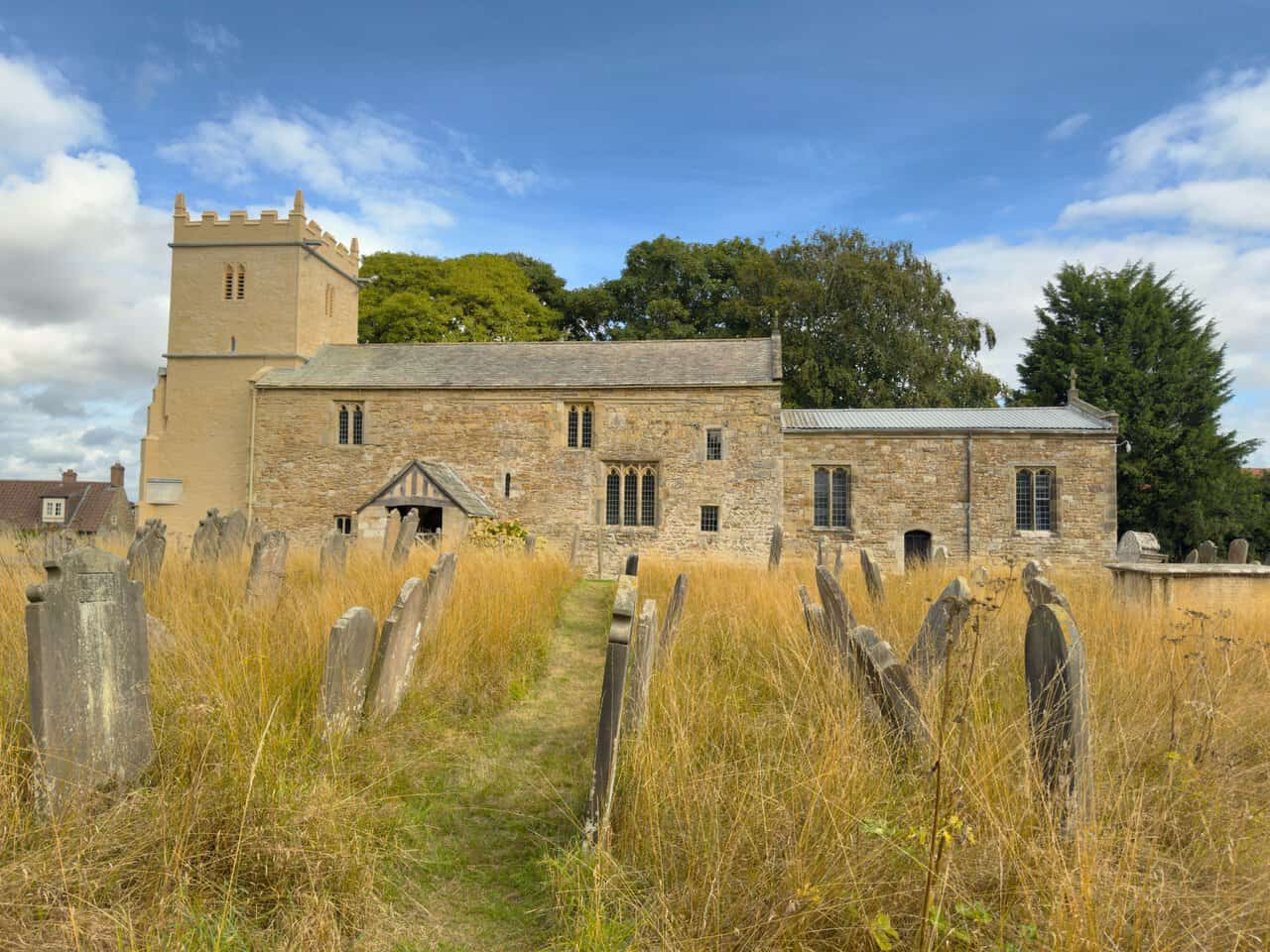
After parking up in Bulmer, I visit the village’s St Martin’s Church before setting off on my Castle Howard circular walk. The building sits in a quiet churchyard scattered with old headstones, a battlemented 15th-century tower rising at the west end and the low, wide nave stretching away to the east. The nave walls date from the 11th century, and the external masonry is a real patchwork, with herringbone work showing in places among the rougher, wide-jointed stone.
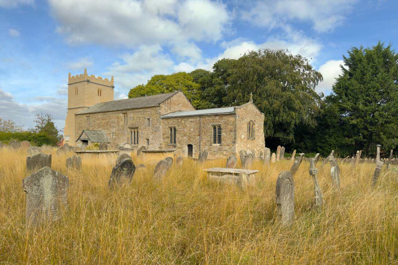
It’s a beautiful church and I have a walk around the outside, following a mown path between leaning gravestones towards the timber-framed porch. The 19th-century porch shelters a south doorway of the late 12th century, and although the original door was replaced in 1910, the old iron hinges were kept. Beyond it the roofline steps down to the chapel on the north side, and the varied window shapes give away how many phases of building have gone into this one small church.
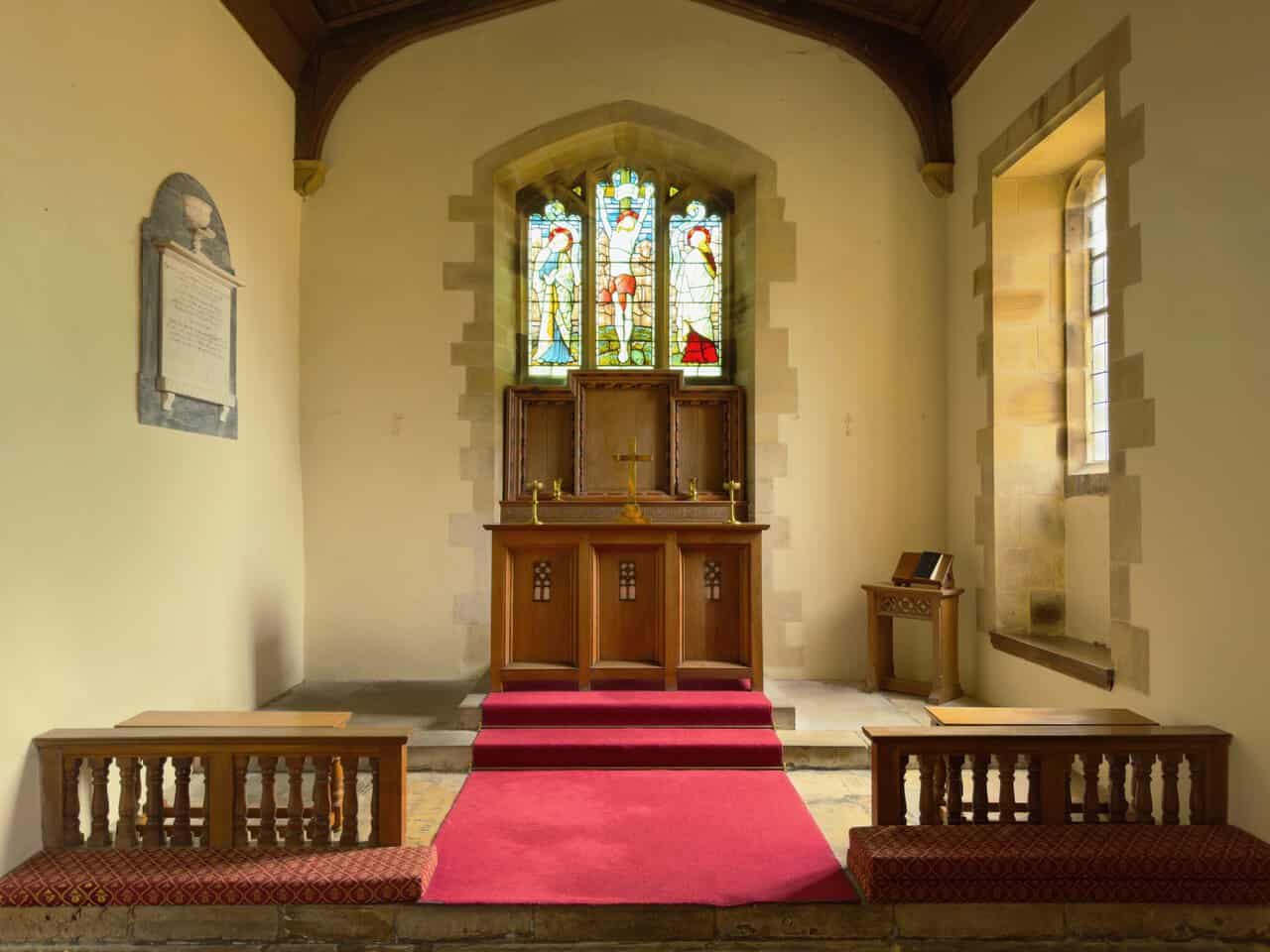
I step inside, where the chancel is lit by a stained glass window showing the Crucifixion above a panelled wooden altar and reredos. The chancel was rebuilt in the first half of the 12th century, along with the north wall and part of the east wall. Beneath the choir stalls and pews lie tombs from the 15th and 16th centuries, including the grave of Sir Ralph Bulmer, which was reused for the burial of Charles Howard, 3rd Earl of Carlisle, in 1738.
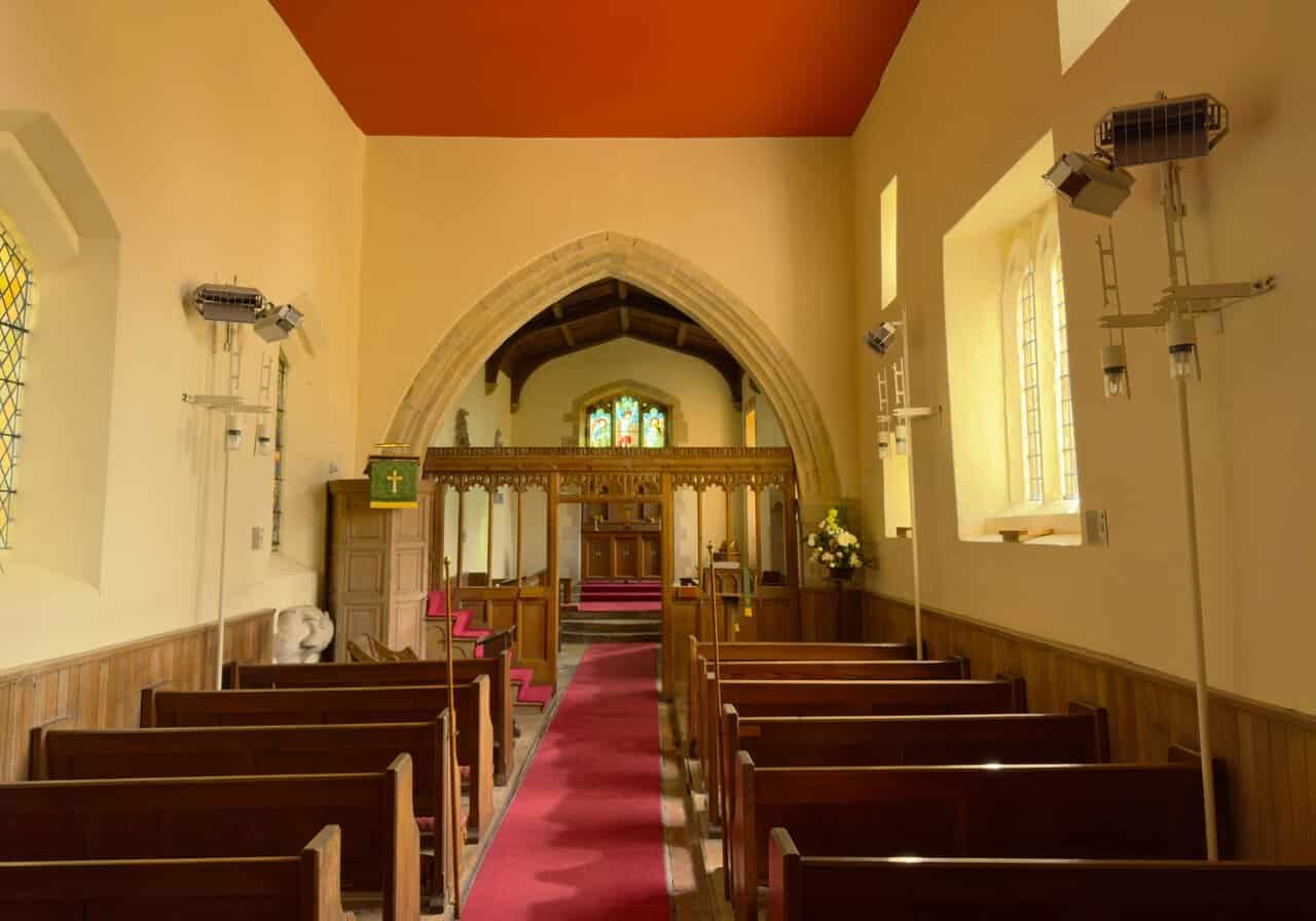
Looking east along the nave, the pews run either side of a red carpet towards a carved wooden screen and the chancel arch beyond. The nave walls are the oldest part of the building, and the height of the early windows points to Saxon origins. Behind the pulpit is the squint, once thought to be a sight-hole for lepers but now understood to be a hagioscope linking the altars of a lost chantry chapel with the chancel.
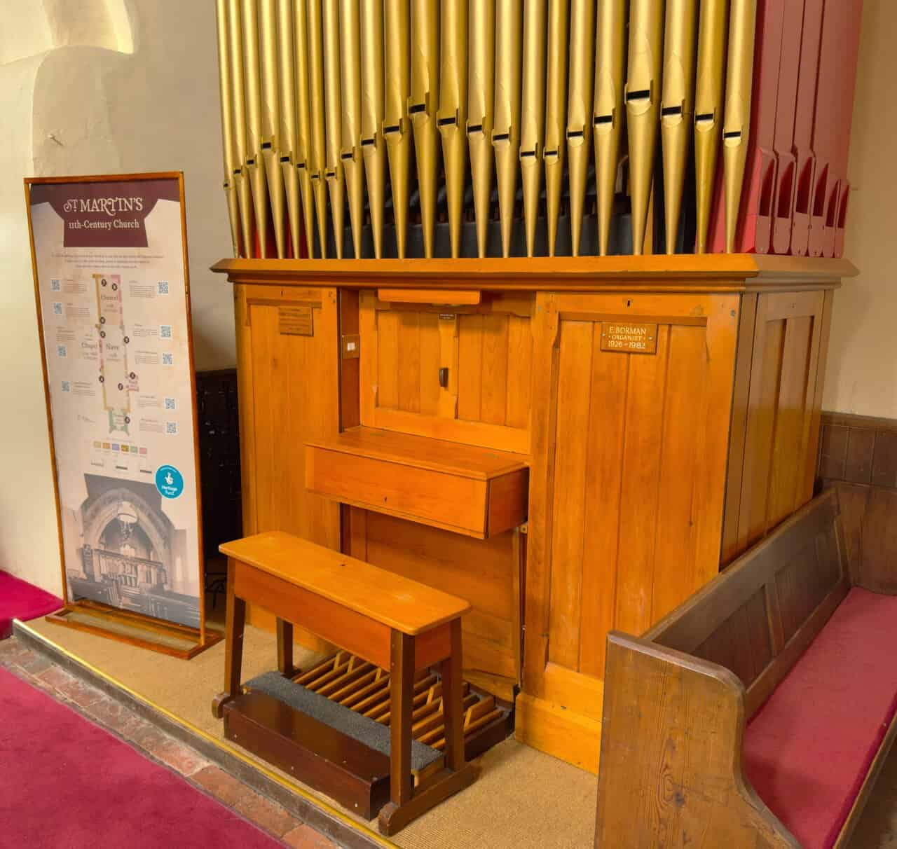
Next to the organ is a Heritage Fund interpretation board with plenty of information, including a colour-coded plan showing how the church grew from the 11th-century nave to the 19th-century porch. It picks out nine features to look for, among them the 13th-century font, the sealed north door with its Conquest-era carved cross-head, and the effigy of Sir John de Bulmer II, one of the oldest surviving medieval effigies in Yorkshire. A small brass plate on the organ itself remembers E. Borman, organist here from 1926 to 1982.
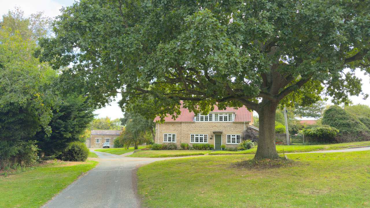
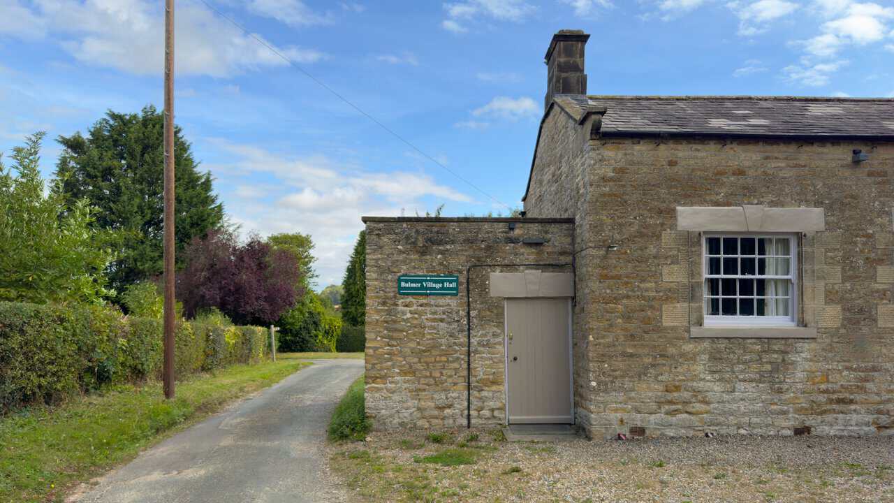
After visiting the church, I follow the road out of the village, passing a small village green with a large oak tree in the middle of it. A stone house with a warm red pantile roof sits behind the oak, and a narrow lane runs off to the left, leading on to the village hall. It is a quiet, unhurried corner of Bulmer and a pleasant place to begin.
I walk past Bulmer Village Hall, a low stone building with a slate roof and tall sash windows, its green nameplate fixed beside the door. The hall was originally the village school, standing at the bottom of School Lane, and it is Grade II listed, dating from the 1830s and built of hammer-dressed limestone with ashlar dressings and a Welsh slate roof. With the shop and pub both long gone, the hall and the church are now the two buildings that hold the village together.
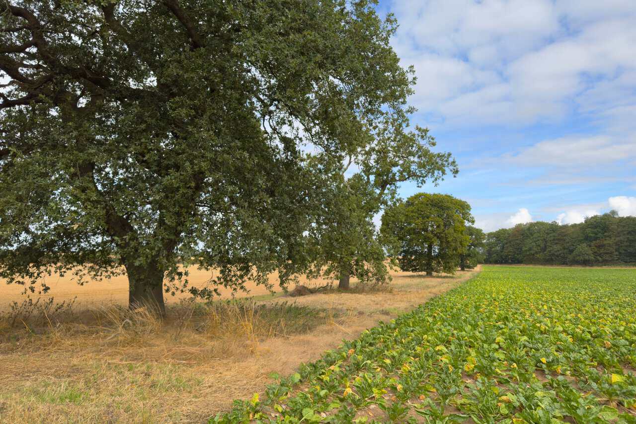
I follow a route towards Brandrith Wood, and the countryside here is beautiful, with the colours especially striking. A line of mature oaks marks the field boundary, with pale stubble on one side and a deep green crop of sugar beet on the other. Woodland closes off the horizon ahead, and the walking is easy along the field edge.
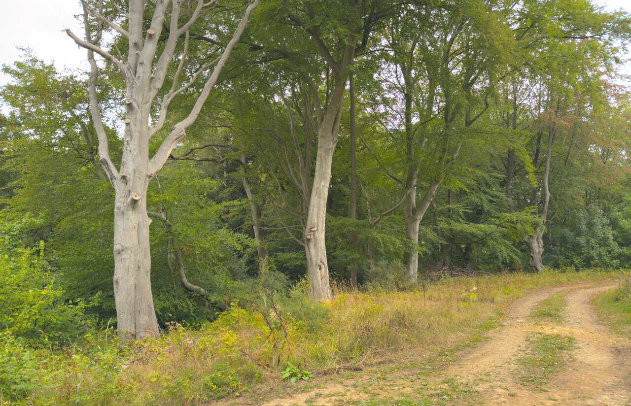
I make my way through Brandrith Wood, along a track which will eventually bring me to the road called The Stray. Tall beeches with smooth grey trunks line the route, and the sandy track curves away between them. It is a shaded, sheltered half mile, and a welcome change from the open fields behind me.
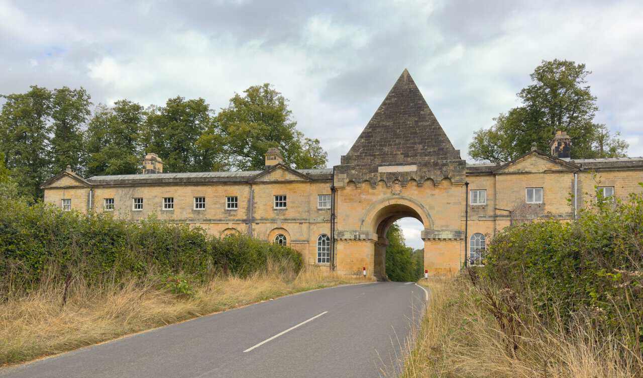
Walking north along The Stray, the road is a bit busy, but it only lasts a few minutes as I head towards the Gate House. The building spans the road as a long, low range of honey-coloured stone, with a tall arch at its centre topped by a stone pyramid. Passing beneath it feels like a proper gateway onto the estate, and it is one of the most memorable moments of this Castle Howard circular walk.
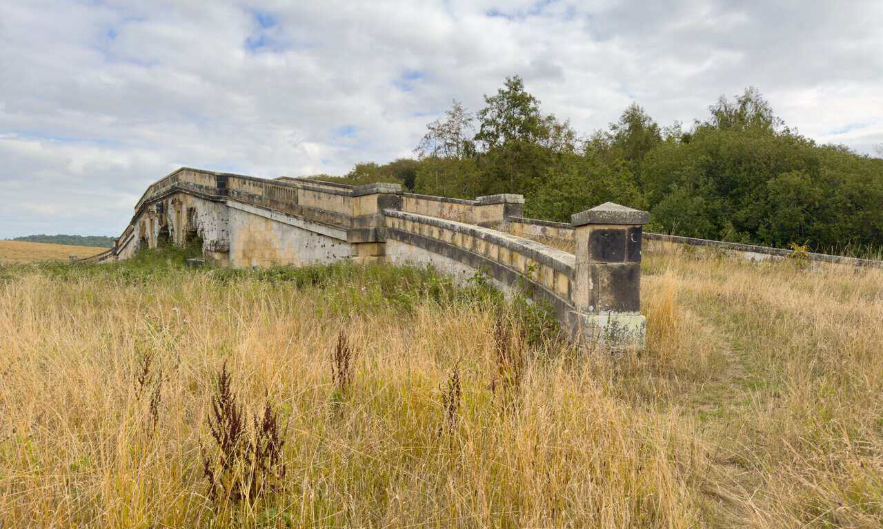
I cross New River Bridge, a graceful sandstone structure with balustraded ramped approaches sweeping down to the meadow on either side. The New River was widened in the 1730s as part of the landscaping of the estate, and the bridge followed in about 1740, probably to a design by Daniel Garrett. It has been Grade I listed since 1954, and its three shallow arches carry a mask keystone and niches flanking the central span.
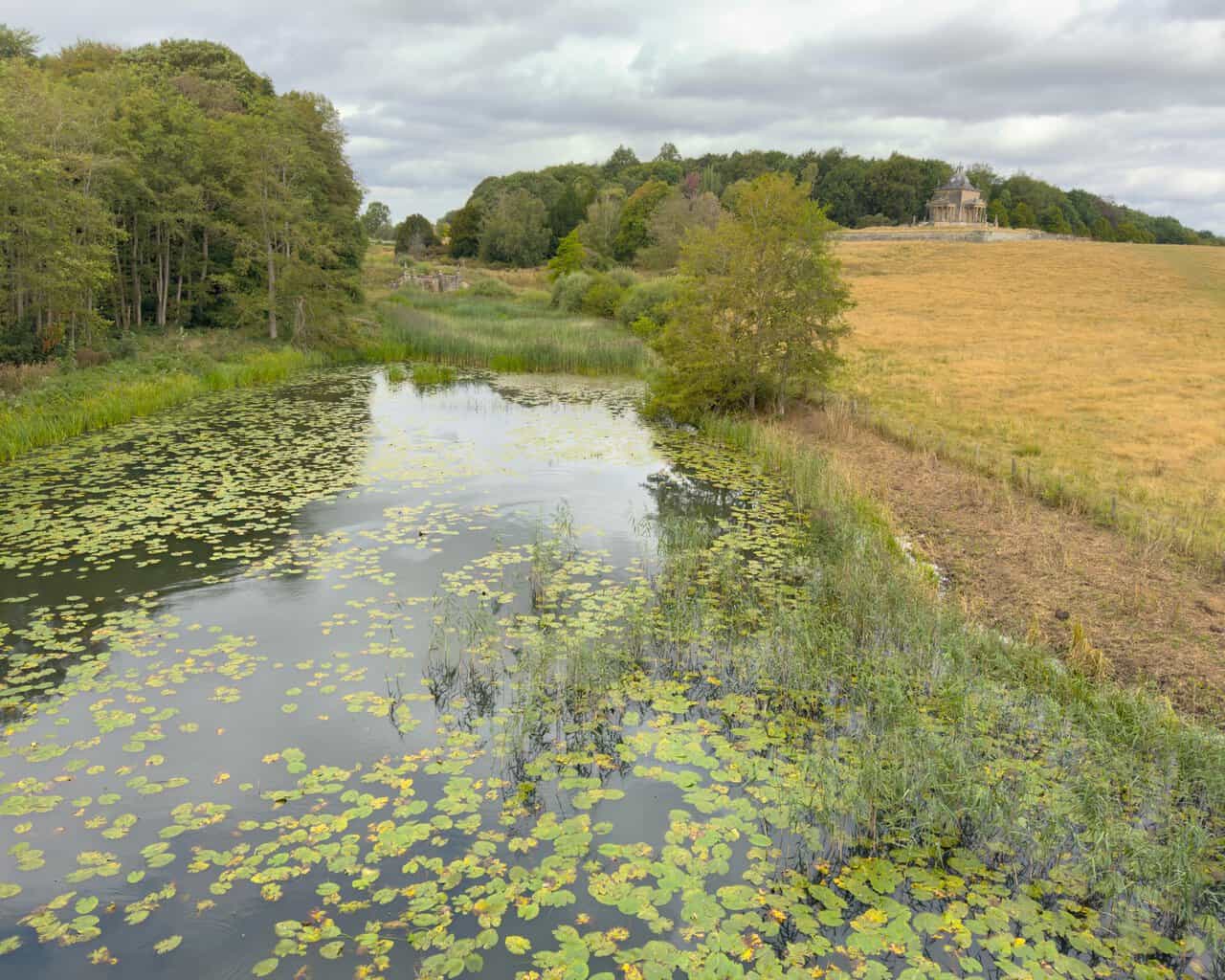
Crossing the bridge I look left, where the water below is thick with lily pads and fringed with reeds. On the rising ground beyond, the Temple of the Four Winds stands out against the tree line, its dome just visible above the ha-ha wall. It is a composed, deliberate view, and one the estate’s designers clearly intended.
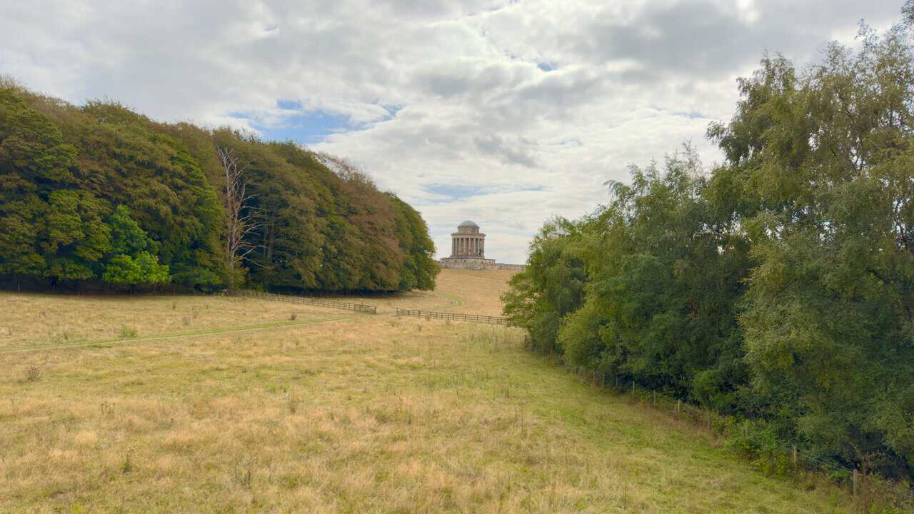
Looking right from the same spot, I spot the Mausoleum on Kirk Hill, framed between the woodland on either side. It was designed by Nicholas Hawksmoor between 1726 and 1729 for Charles Howard, 3rd Earl of Carlisle, and drew on the Roman Tomb of Caecilia Metella for inspiration. Built between 1729 and 1742 under William Etty, with bastion walls added later by Daniel Garrett, it holds a vaulted crypt of sixty-three catacombs and is still the burial place of the Howard family.
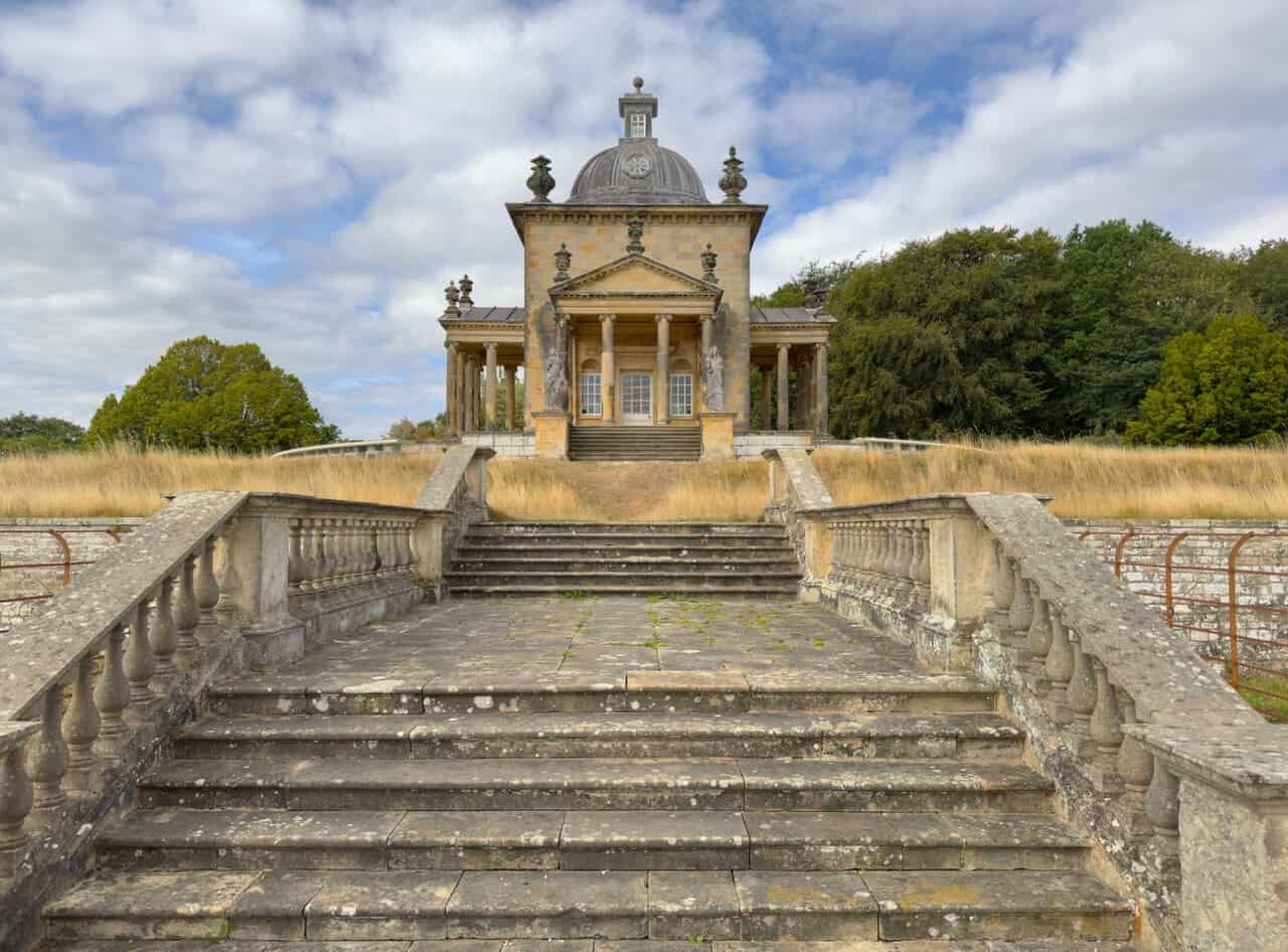
I pass by the Temple of the Four Winds, looking across from a gate towards the broad flight of stone steps and balustrades that lead up to it. Vanbrugh designed it in 1724, taking his cue from Palladio’s Villa La Rotonda, and it was finished after his death in 1726, with the interior plasterwork and scagliola added by Francesco Vassalli between 1737 and 1739. It was never simply an ornament, but a place for refreshment and reading, with a cellar beneath where servants prepared the food.
I follow the path beside the high dry stone wall that skirts the eastern edge of Ray Wood, heading towards Horse Close Rush. Tall beeches line the far side of the wall, and to my right the ground opens out into rough pasture. It is a quiet, straightforward stretch, and a good place to settle back into the rhythm of the Castle Howard circular walk after the follies.

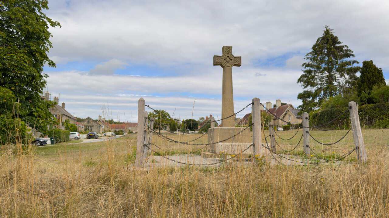
Reaching Coneysthorpe, the first thing I notice is the memorial cross standing on the green, ringed by wooden posts and heavy chain. It is a Celtic cross of weathered stone, with a tapered shaft on a square plinth and base, and a drinking trough set at its foot. It commemorates the thirty-four men of Coneysthorpe and Henderskelfe who served in the First World War, twenty-five of whom came home, and it has been restored in recent years.
I walk to the northern end of the village, where I find a stone building I particularly like, Coneysthorpe Chapel. Built in 1835 as a chapel of ease to St Michael’s Church at Barton-le-Street, it is a neat Georgian design in limestone, with quoins, a pediment and a Welsh slate roof. The bell turret above carries round-arched openings and a domed cap topped by a ball finial and weathervane, and the chapel has been Grade II listed since 1954.
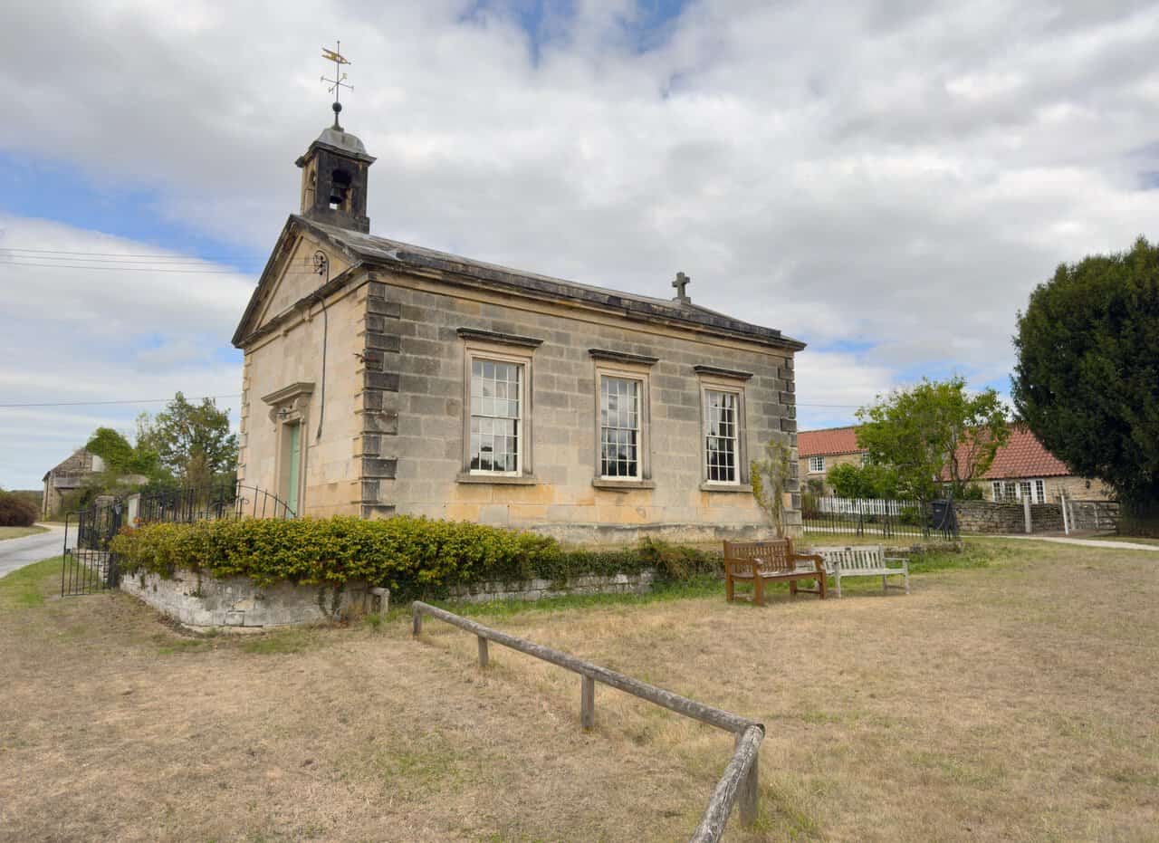
Behind the chapel there is a bench, which makes an ideal spot for lunch at the halfway point of the Castle Howard circular walk. Inside the building, the pews, dado, lectern, altar rail and reredos were all designed in 1894 by the architect Temple Moore, and there is an octagonal font. The chapel marked its 175th anniversary in 2010 by reviving an old tradition, the bread loaf feast held on Lammas Day.

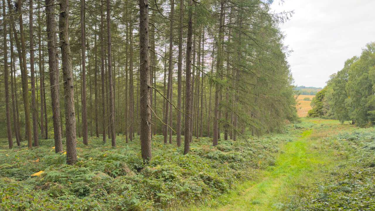
A little further on, the route takes me down through the woodland west of Coneysthorpe, where tall conifers rise above a floor of bracken and a grassy ride runs along the edge. The wood here is Cum Hag Wood, with Owlers Plantation and Owlers Wood lying just to the south, so it is easy to lose track of which is which. Between the trunks the ground drops away to open fields, a reminder of how much of this walk is spent moving in and out of woodland.
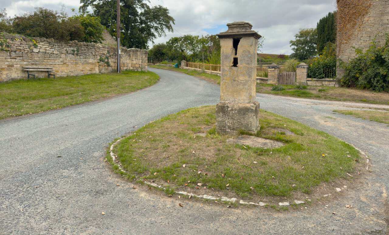
I reach Ganthorpe, a beautiful little village, and pass what I take to be an old water pump on a small green. It is exactly that, an 18th-century water pump of sandstone ashlar, with a chamfered plinth carrying a rectangular shaft topped by a moulded cornice. The openings for the old handle and water pipe are still visible, and the pump has been Grade II listed since 1985.
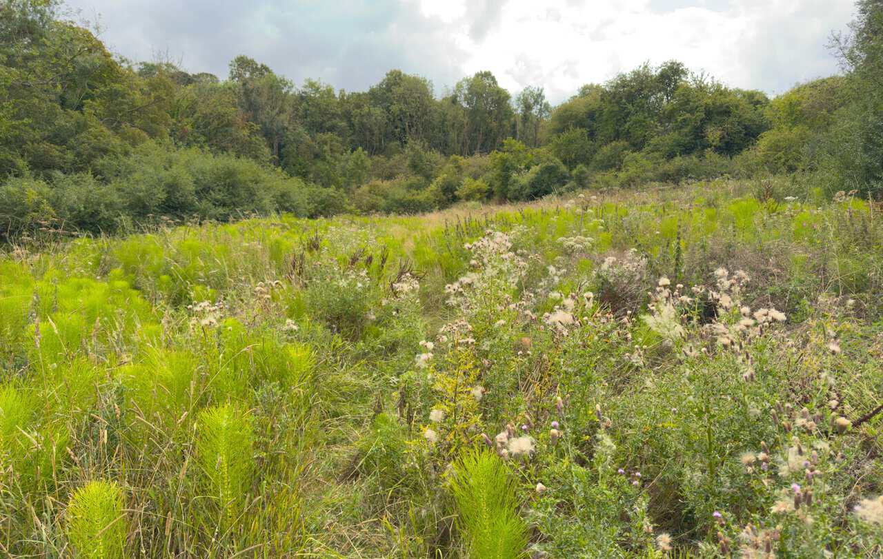
From Ganthorpe I head south into Mowthorpe Dale, a shallow valley with a broad hedgerow on my left and rough pasture rising to the right. A single oak stands out on the slope above, and the going underfoot is grassy and a little overgrown in places. It is a quiet, enclosed stretch after the open estate land earlier on.
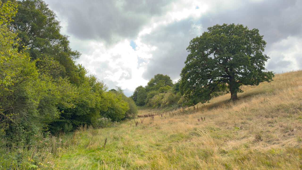
The route through the dale runs for just over three quarters of a mile, with only occasional yellow waymarkers to guide me. The vegetation is dense in summer, with thistles and horsetail crowding the line of the path, but the way through is still reasonably easy to follow even where it becomes faint. It is nothing that spoils the walk, though it does pay to keep an eye on the direction of travel.
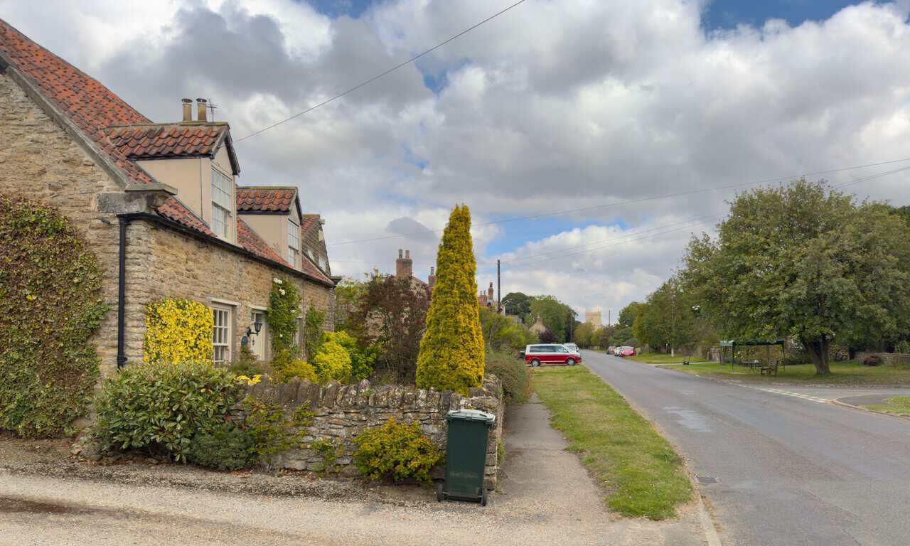
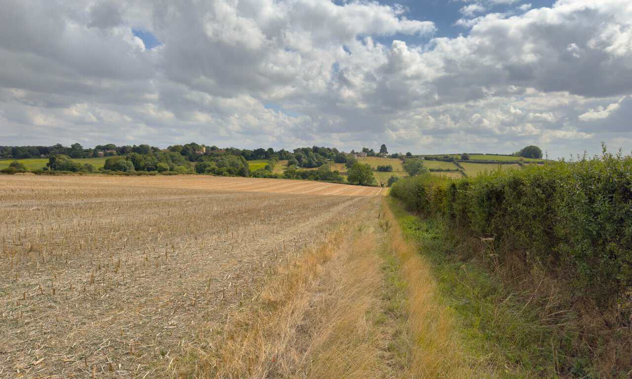
After emerging from Ox Pasture Wood, I follow a long straight path along the edge of a field. Reaching the brow of the hill, I spot Bulmer in the distance, with the tower of St Martin’s Church rising above the trees and the pale bulk of Kilburn House on the western edge of the village. Both make excellent navigational aids for the final stretch.
I return to Bulmer alongside Kilburn House, then turn left and walk back down through the village. Stone cottages with pantile roofs line the road, with the church tower visible again at the far end. A short stroll brings me back to the lay-by and the end of my Castle Howard circular walk.