West from Leyburn via the Leyburn Shawl to Tullis Cote, then south past Bolton Hall, over the River Ure and across Middleham High Moor to Melmerby. East across country to Caldbergh and Coverham, then north-west through the Tupgill Park Estate (the location of The Forbidden Corner). Finally east to Middleham and north-west back to Leyburn. A 14-mile walk in Northern England.
Recommended Ordnance Survey Map
The best map to use on this walk is the Ordnance Survey map of the Yorkshire Dales Northern & Central Area, reference OS Explorer OL30, scale 1:25,000. It clearly displays footpaths, rights of way, open access land and vegetation on the ground, making it ideal for walking, running and hiking. The map can be purchased from Amazon in either a standard, paper version or a weatherproof, laminated version, as shown below.
Standard Version
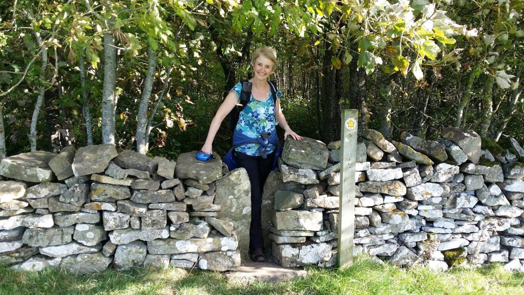
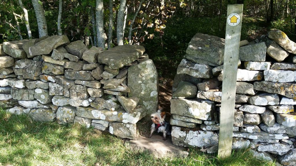
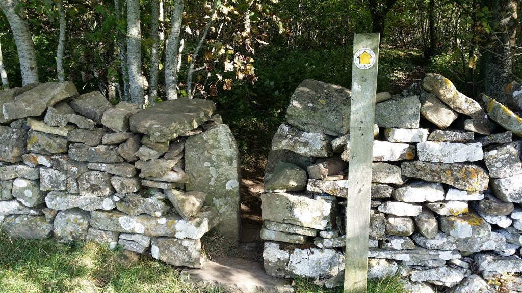
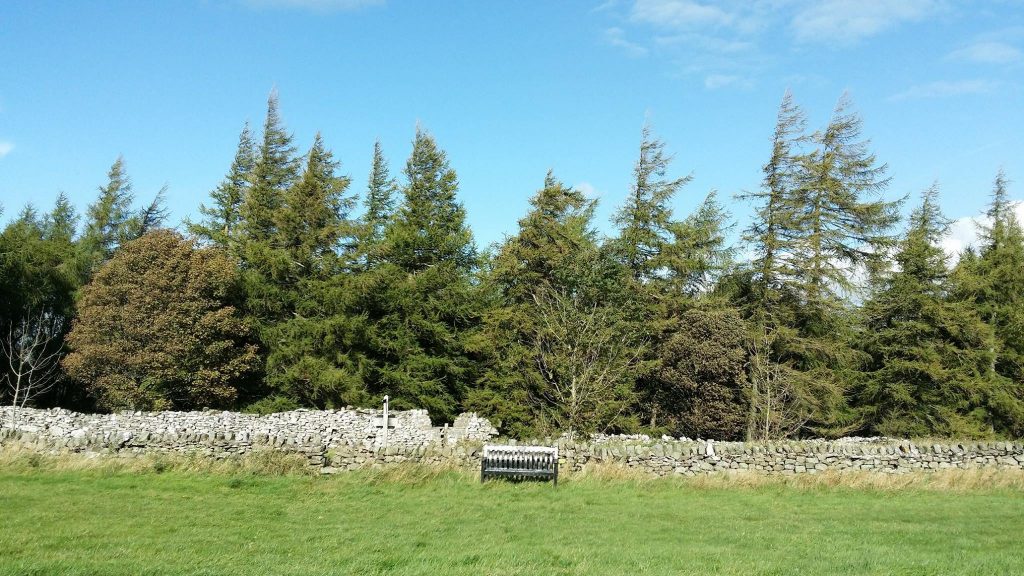
Paula and Pip emerging from the woods on Leyburn Shawl. Some of the gaps in Yorkshire’s dry stone walls are very narrow.
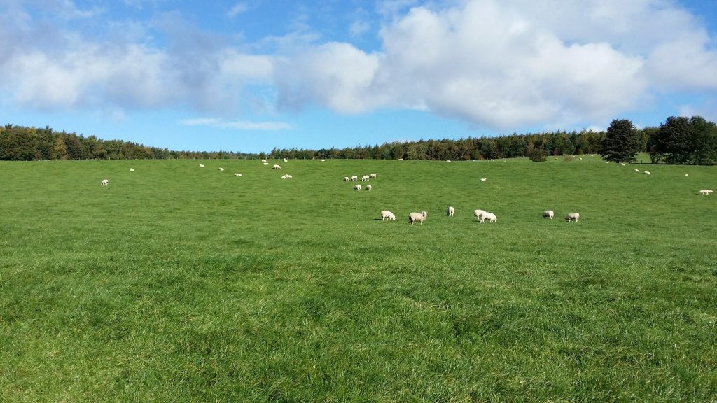
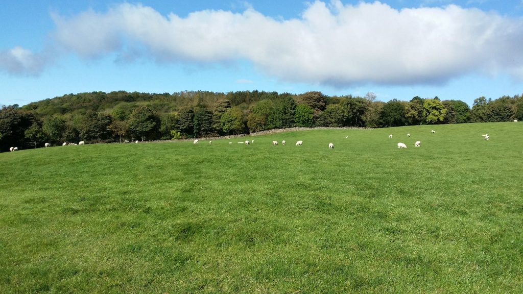
Sheep grazing in fields west of Leyburn Shawl Plantation.
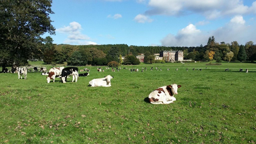
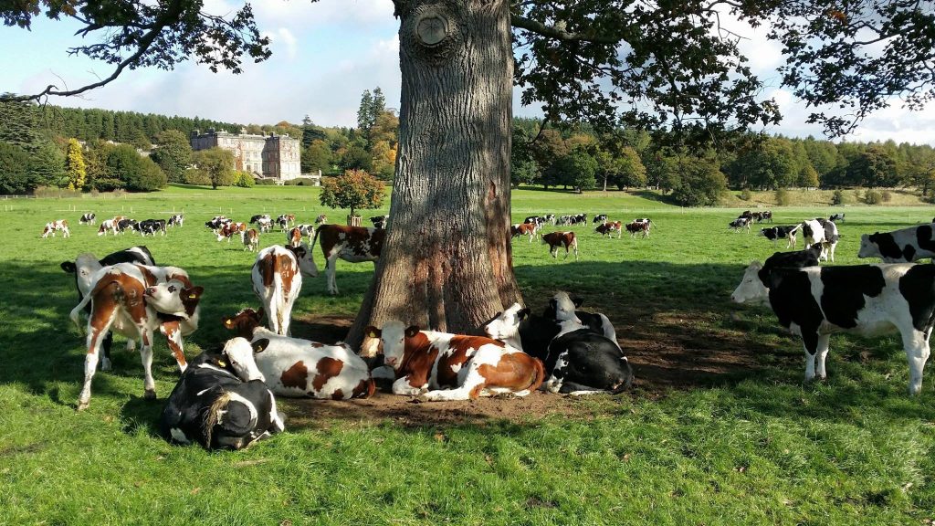
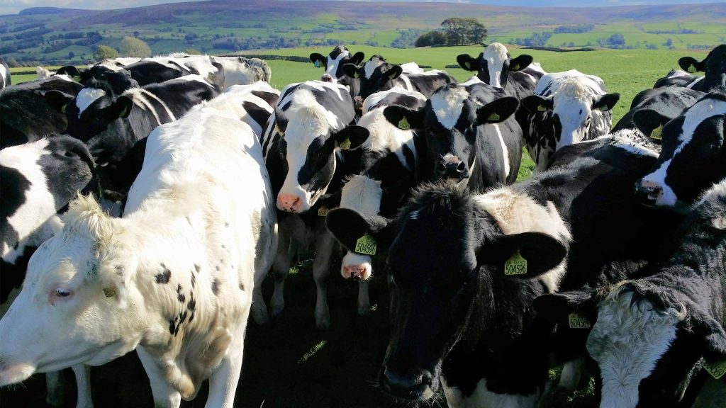
An abundance of cattle on farmland near Bolton Hall.
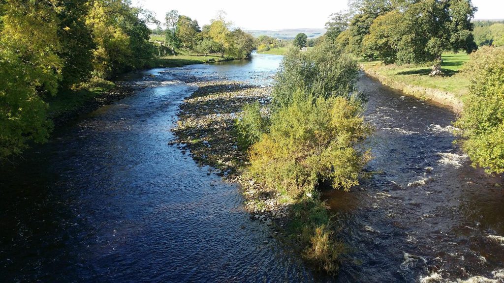
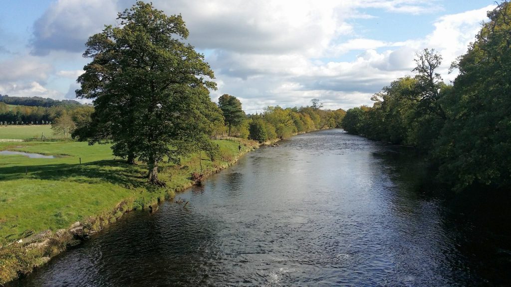
The River Ure at Lords Bridge.
Looking back towards Capplebank Plantation from Middleham High Moor.
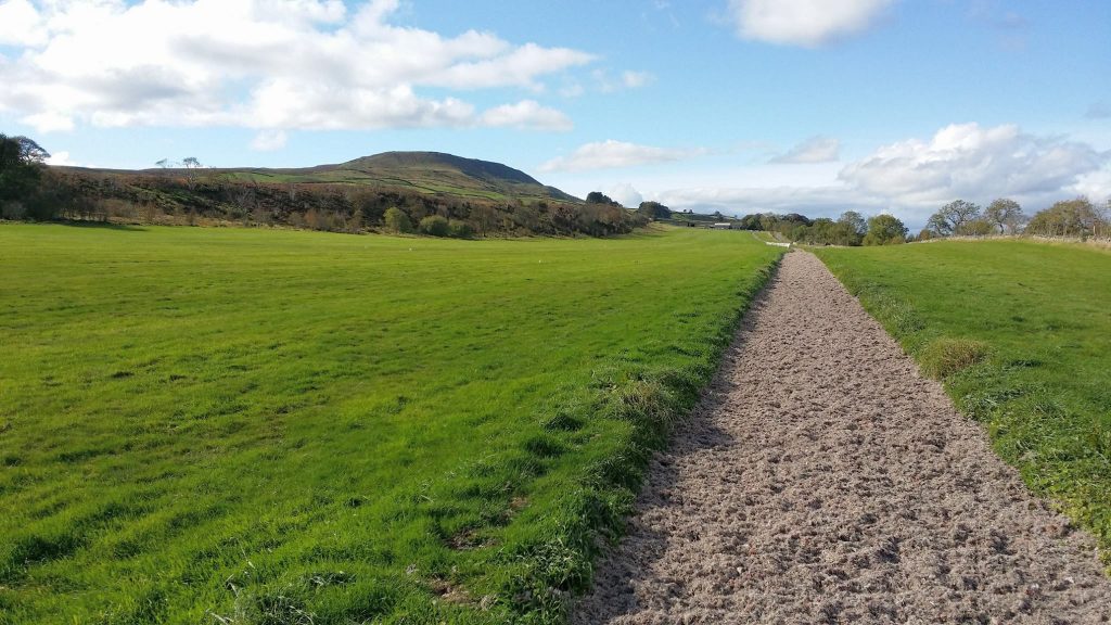
Gallops on Middleham High Moor. Penhill is in the background.
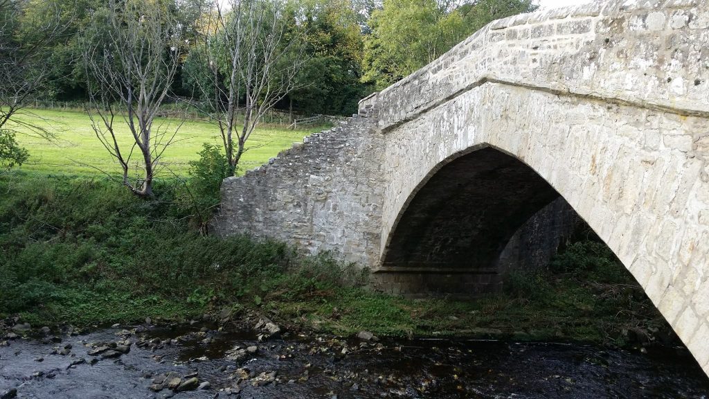
Coverham Bridge.
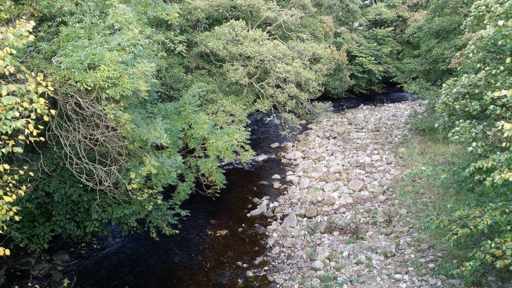
The River Cover flowing under Coverham Bridge.
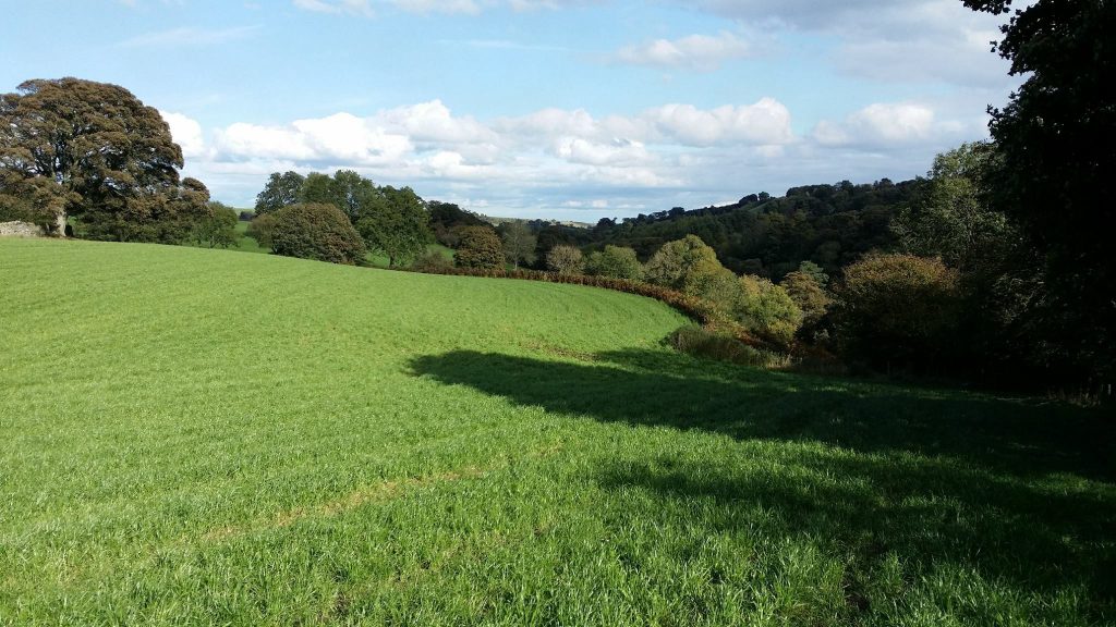
Beautiful countryside near Coverham.
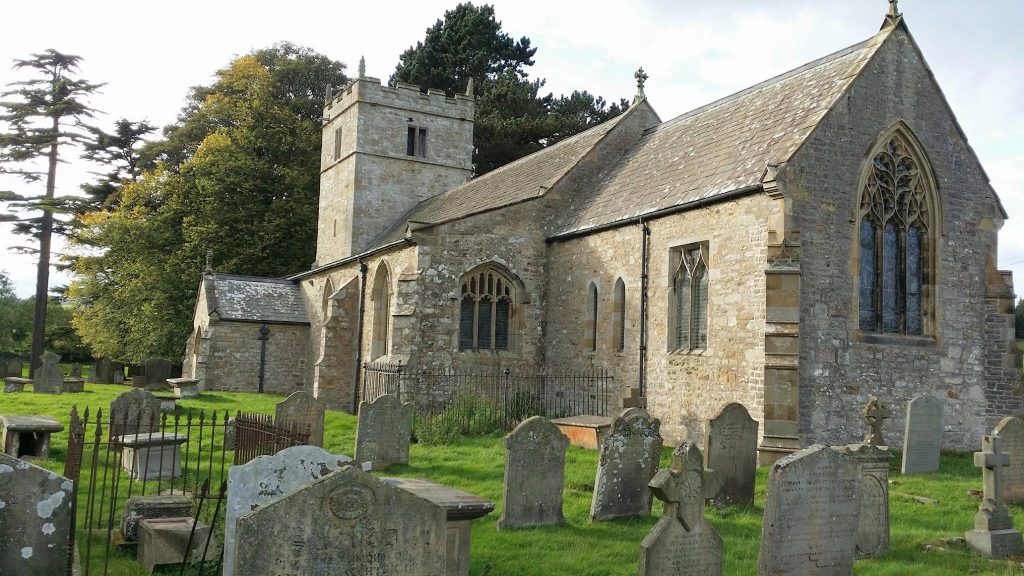
Holy Trinity Church, Coverham.

The view towards Coverham Abbey.
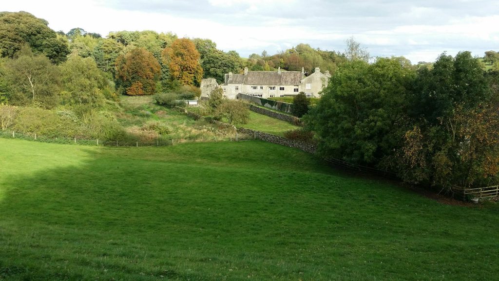
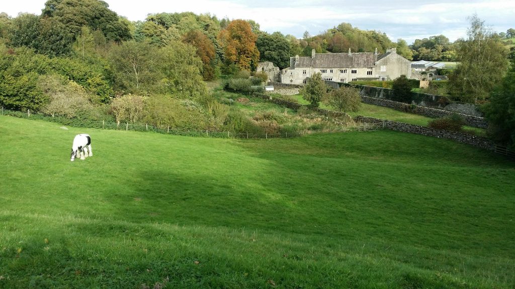
Tupgill Park.