ADVERTISEMENT
Two Classic Leyburn Shawl Walks Through the Heart of the Yorkshire Dales
The Leyburn Shawl is one of those Yorkshire Dales places that quietly rewards anyone willing to walk it. This near-unbroken limestone terrace stretches almost two miles above the floor of Wensleydale. It offers wide, generous views across the valley and a thread of layered history reaching back centuries. For those who keep going beyond the Shawl itself, a network of footpaths links handsome stone villages, ancient churches, and one of England’s best-preserved medieval castles. On this page, you’ll find everything you need to know about the place, along with two circular Leyburn Shawl walks that each show off a different side of this remarkable corner of the Dales.
ADVERTISEMENT
What Makes the Leyburn Shawl Special
A Limestone Terrace Above Wensleydale
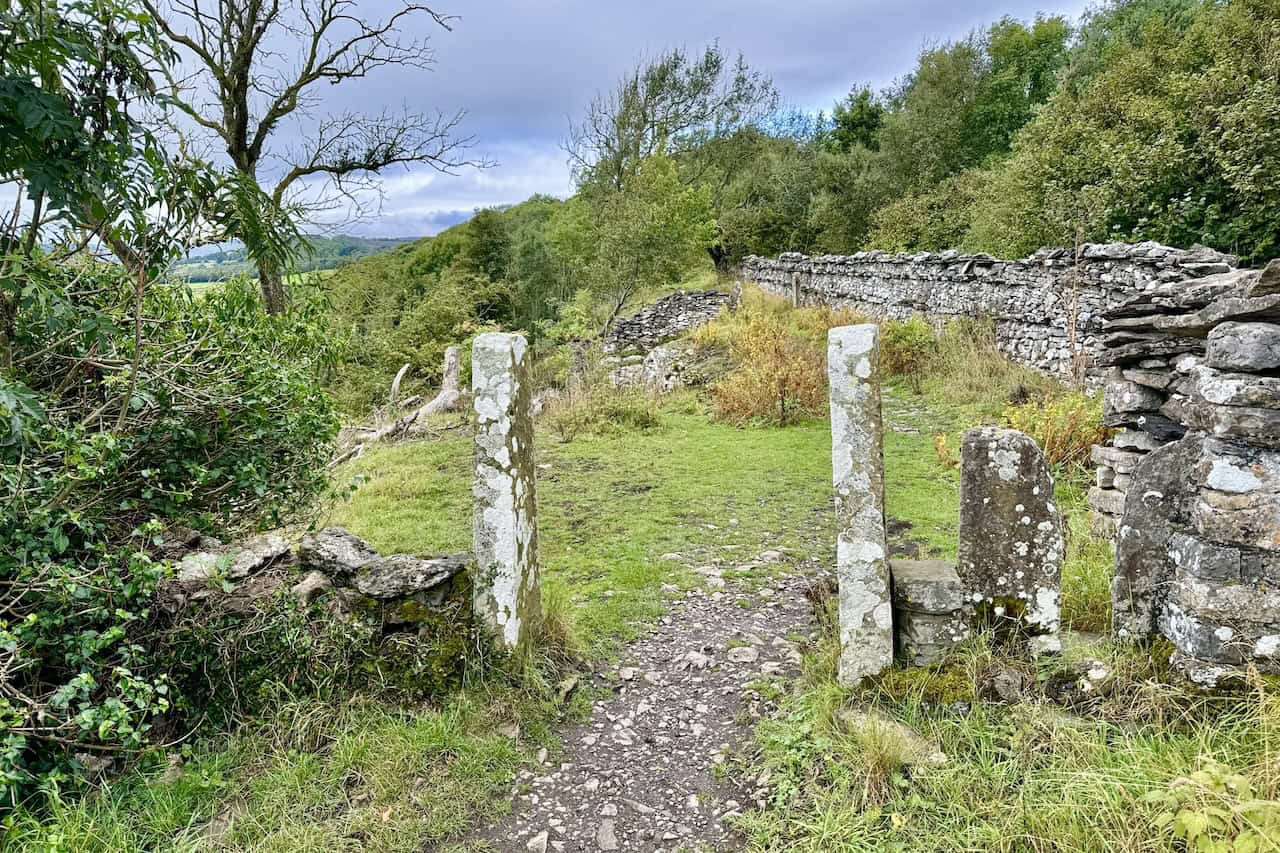
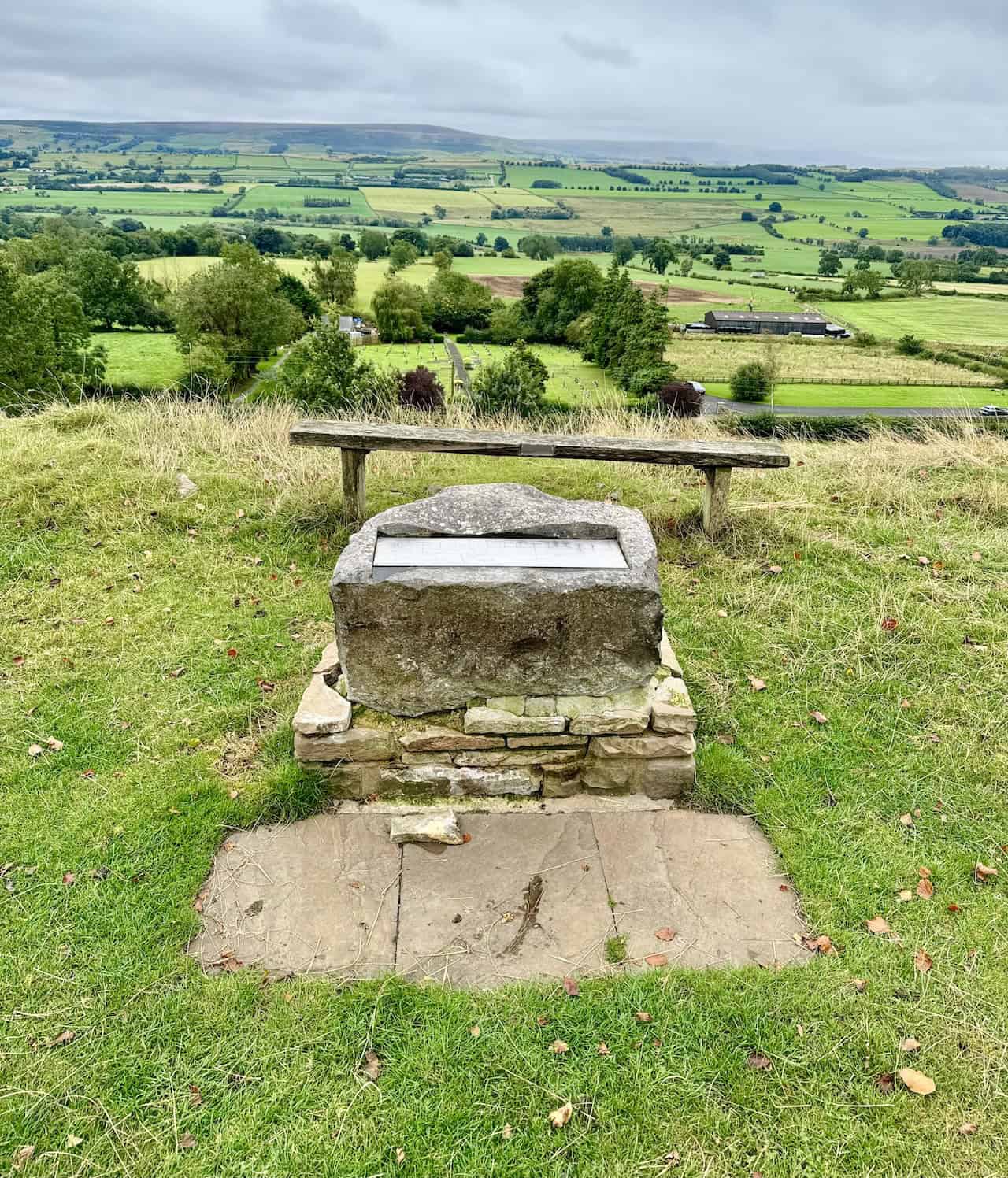
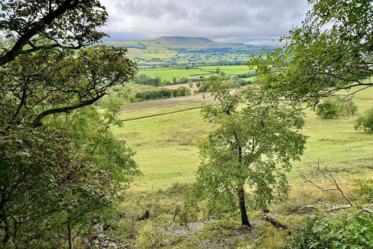
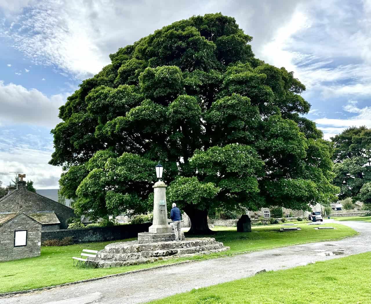
The Shawl is a bold limestone escarpment, almost unbroken, that extends for around two miles (3.2 kilometres) west of the town of Leyburn. The limestone band itself measures about 60 feet (18 metres) thick, and the top of the Shawl rises to roughly 870 feet (265 metres) above sea level. From the path along the top, you look out across a wide patchwork of fields, hedgerows, and small wooded patches. The dramatic bulk of Penhill dominates the far side of the valley. On a clear day, you can also pick out Little Whernside, Addlebrough, and Flamstone Pin on Braithwaite Moor. The more you visit, the more these names will anchor you in this part of the Dales.
ADVERTISEMENT
The Origins of the Name
Two stories compete to explain the name. The first, and certainly the more romantic, links the Shawl to Mary, Queen of Scots. In the late 16th century, while imprisoned at nearby Bolton Castle, she is said to have attempted an escape. According to local lore, she dropped her shawl somewhere along this limestone scar, which then gave the escarpment its name. The second, less fanciful explanation suggests the name derives from a Norse word meaning “settlement”. Whichever you prefer, both have become part of the area’s character. In particular, the Mary, Queen of Scots story still draws people up onto the path.
ADVERTISEMENT
From Victorian Promenade to Walker’s Paradise
The Leyburn Shawl walks of today owe a great deal to Victorian Leyburn. Tradesmen from the town designed the path along the top of the Shawl in 1841 so that visitors had somewhere pleasant to walk. They also added seats and shelters along the way. Before long, the Shawl had become a fashionable spot, well known for its tea dances and other social gatherings. Many of these formed part of the annual Leyburn Shawl Festival. After the railway reached Leyburn in 1856, visitor numbers grew further. The fresh air and the wide views drew people in from much further afield.
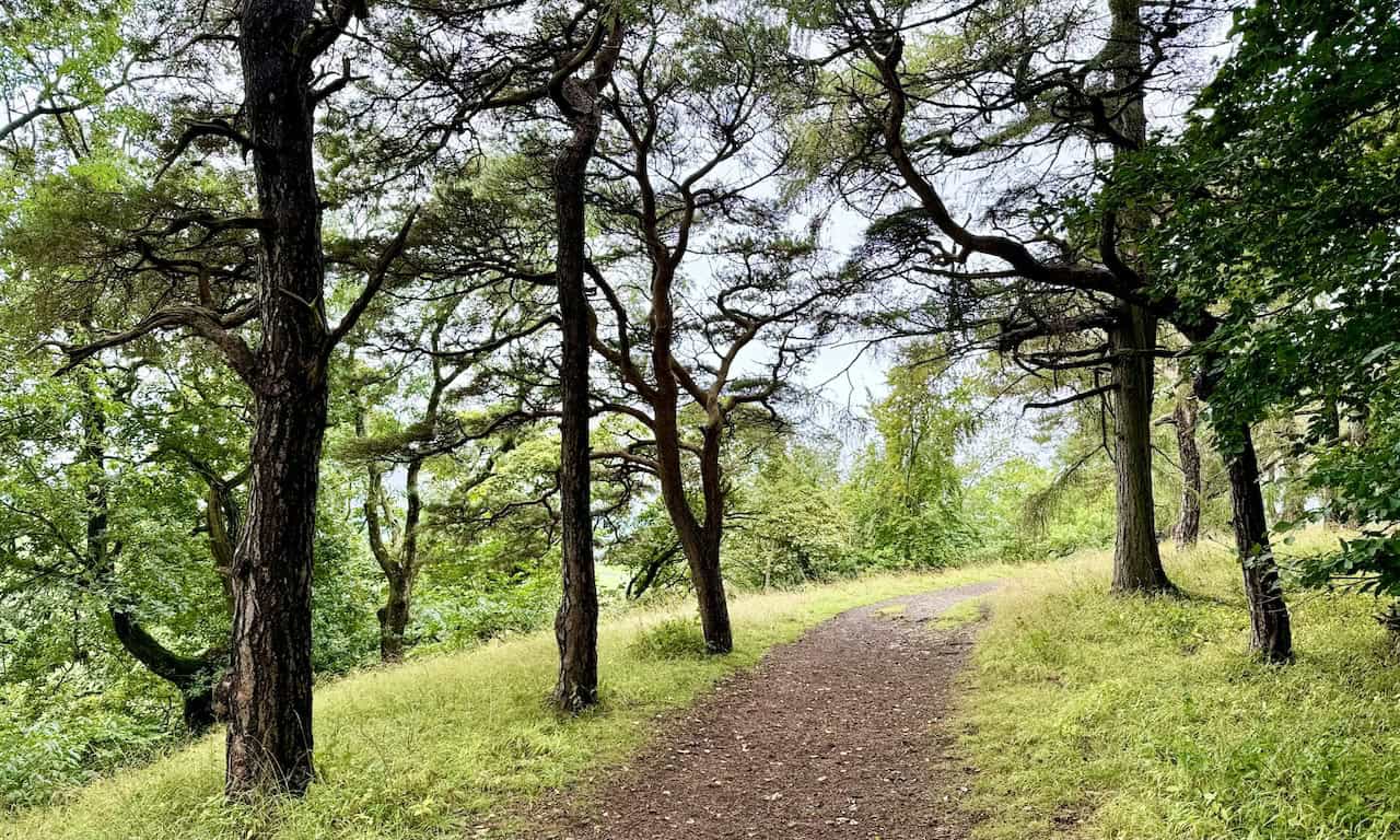
In addition, the Shawl is of archaeological interest. Excavations have turned up pottery, bones, and flint tools, all of which point to thousands of years of human activity on this terrace. Nature lovers also have plenty to look out for. The escarpment and the surrounding woodlands shelter red squirrels, pheasants, and a wide variety of birds. As you walk, the mix of trees and open ground keeps the views constantly changing.
ADVERTISEMENT
Leyburn: The Heart of the Leyburn Shawl Walks
A Market Town With Deep Roots
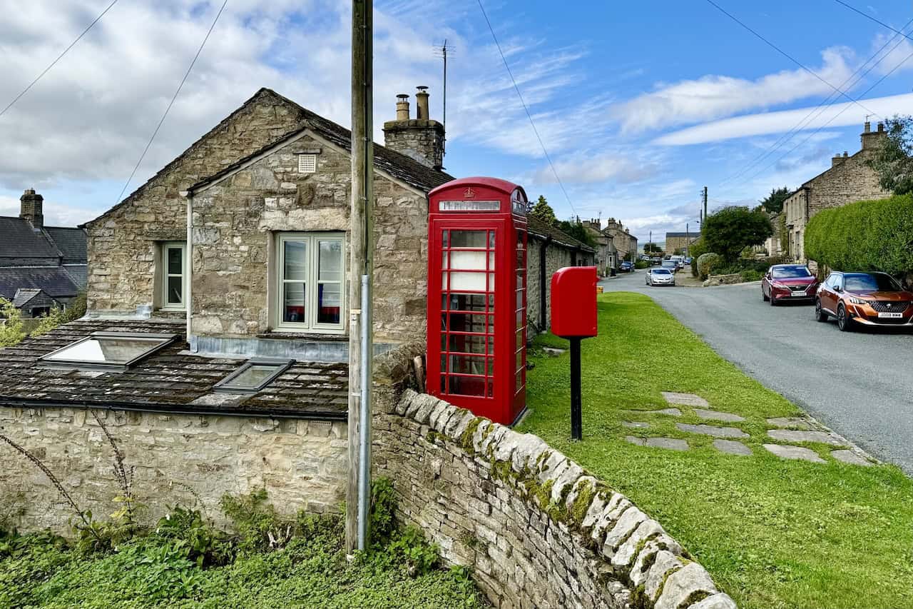
Leyburn is the natural starting point for both of the Leyburn Shawl walks described on this page, so it’s worth knowing a little about the town in its own right. This charming market town and civil parish sits in North Yorkshire, above the northern bank of the River Ure. The name has Old English roots: “Ley” or “Le” meaning “clearing”, and “burn” meaning “stream”. Together, they give us “clearing by the stream”.
The Domesday Book of 1086 first mentions Leyburn, although no population was recorded at that point. Its later rise was tied to the decline of nearby Wensley. Wensley had previously served as the principal market town in Wensleydale, having received its Royal Charter in 1202. However, a devastating plague in 1563 left it largely abandoned. By the 17th century, Leyburn had risen to take its place. In 1686, Charles II granted the town a market charter. Lord Bolton then built the Town Hall in 1856, which still stands at the heart of the town and now houses several shops. The Grade II listed war memorial cross in the market place commemorates those lost in both World Wars. Leyburn Hall, another listed building, dates back to 1750.
The 2011 census recorded a population of 2,183, and by 2015 the estimated figure had risen to 2,190. Today, the town lies about 19 miles west of Northallerton, the county town, and sits right at the eastern edge of the Yorkshire Dales National Park. In 2017, the park welcomed around 520,000 overnight visitors. As a result, Leyburn benefits considerably from the steady flow of walkers and tourists.
A Perfect Base for the Day
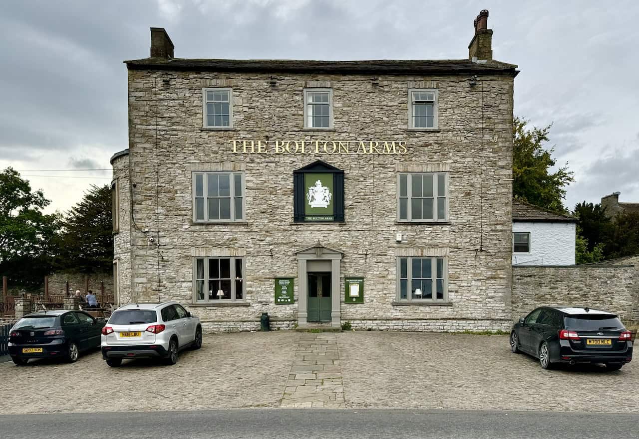
For the Leyburn Shawl walks, parking in the heart of the town at Market Place is the simplest option. If that car park is full, there is another behind the Golden Lion Hotel with around 120 spaces. Furthermore, the town has a good variety of shops and cafés. This makes it an excellent base for the day, whether you’re heading out for a short stroll along the terrace or planning a longer circular route.
A Gentle Stroll Along the Terrace
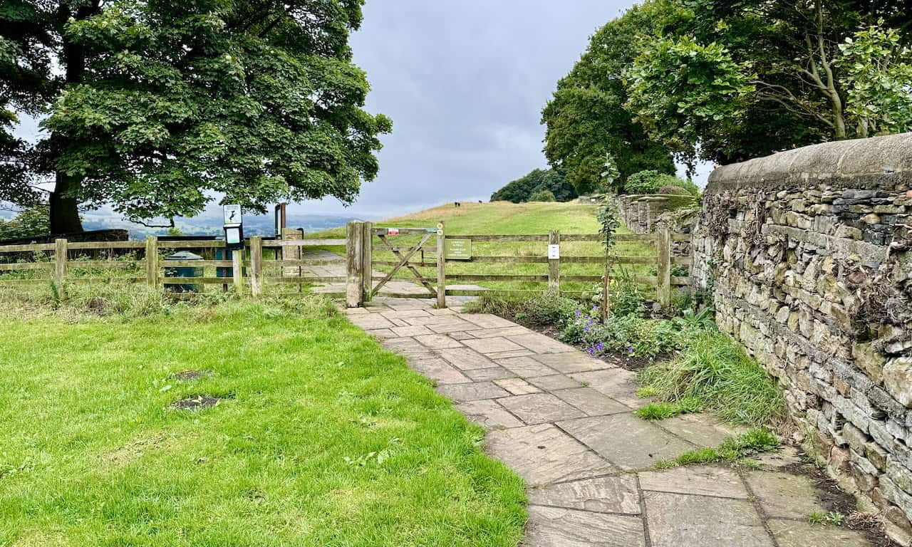
Before I introduce the two circular routes, it’s worth mentioning that you don’t have to commit to either one to enjoy the Shawl. The first mile or so of the path begins right from Leyburn’s High Street, and it ranks among the most wheelchair- and pushchair-friendly walks in the Yorkshire Dales. Benches sit along the way, so you have plenty of spots to pause and take in the view. From here, you can see Penhill and Addlebrough in the distance. A children’s playground sits nearby too, which makes this a lovely option for families. You can simply follow the terrace as far as you wish and return the same way, a relaxed introduction to the area that needs no map or special preparation.
ADVERTISEMENT
The Shorter of the Two Leyburn Shawl Walks: 6¾ Miles
What This Route Offers
The shorter of the two Leyburn Shawl walks covers 6¾ miles (10¾ km) on a circular route that takes around 3¼ hours to complete, with an ascent of 739 feet (225 metres). It makes for a satisfying half-day outing. First, the route follows the full length of the Shawl. Then, it turns south through farmland and a small slice of industrial heritage before joining a quiet route back through the Wensley Park estate.
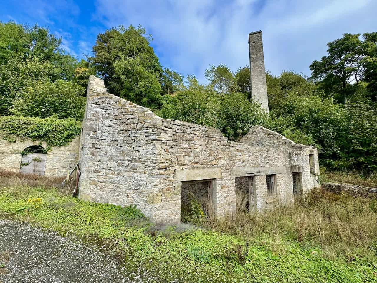
Beyond the Shawl itself, the highlight of this route is the Keldheads Lane lead smelt mill, tucked away about half a mile east of Preston-under-Scar. Although lead mining here goes back to the 12th century, the surviving structures date from the mid-19th century. These include the engine house, chimney, stables, stores, and a wheel pit that once powered pumps with a waterwheel. The mine was once one of Yorkshire’s richest. However, it eventually closed because the lower levels could not be kept clear of water. After the mill, the route passes through the village of Preston-under-Scar. From there, it crosses fields, passes Bolton Hall, and continues through Wensley Park, before arriving in the village of Wensley with its remarkable medieval church.
For full step-by-step directions for this route, please visit my dedicated 6¾-mile walk page
Leyburn Shawl Walks: Maps and Tools
Visit either the OS Maps website or the Outdooractive website to view this walking route in greater detail. Both platforms offer a range of features, including the ability to print the route, download it to your device, and export the route as a GPX file. You can also watch a 3D fly-over and share the route on social media. Additionally, this page includes a printable version of the walk in PDF format. Plus there is a supporting video, available for you to watch on YouTube.
Distance, Duration, Statistics
Distance: 6¾ miles
Distance: 10¾ kilometres
Duration: 3¼ hours
Ascent: 739 feet
Ascent: 225 metres
Type: Circular walk
The Longer of the Two Leyburn Shawl Walks: 11 Miles
What This Route Offers
The longer of the two Leyburn Shawl walks covers 11 miles (18 km) on a circular route, which takes around 5 hours to complete, with an ascent of 939 feet (286 metres). It shares the same opening stretch along the Shawl. However, instead of heading directly to Bolton Hall after Preston-under-Scar, it pushes further west to Castle Bolton. From there, it loops back through Redmire and West Wood to rejoin the Wensley Park route.
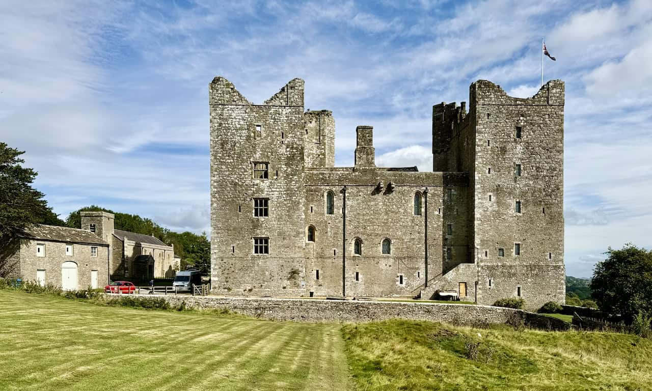
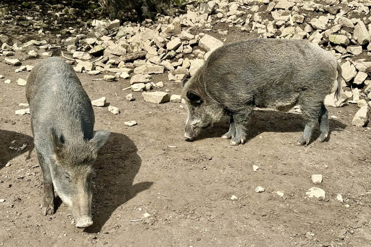
The main draw here is Bolton Castle itself. This well-preserved 14th-century fortress was built by Sir Richard le Scrope, Lord Chancellor of England under Richard II, and is a Grade I listed building. The castle is most famous for its connection to Mary, Queen of Scots, who was imprisoned here for six months. (She is also the very Mary linked to the legend of the Shawl.) Next door, the modest stone church of St Oswald’s has stood on this site since the 12th century, although the present structure dates from the 1320s, which makes it older than the castle. The route also takes in the wild boars kept near the castle car park. After that, it leads on to the village of Redmire with its striking jubilee monument on the green, and then the woodland of West Wood, before passing Bolton Hall and Holy Trinity Church at Wensley.
For full step-by-step directions for this route, please visit my dedicated 11-mile walk page
Leyburn Shawl Walks: Maps and Tools
Visit either the OS Maps website or the Outdooractive website to view this walking route in greater detail. Both platforms offer a range of features, including the ability to print the route, download it to your device, and export the route as a GPX file. You can also watch a 3D fly-over and share the route on social media. Additionally, this page includes a printable version of the walk in PDF format. Plus there is a supporting video, available for you to watch on YouTube.
Distance, Duration, Statistics
Distance: 11 miles
Distance: 18 kilometres
Duration: 5 hours
Ascent: 939 feet
Ascent: 286 metres
Type: Circular walk
ADVERTISEMENT
Comparing the Two Leyburn Shawl Walks
| Feature | Shorter Walk | Longer Walk |
|---|---|---|
| Distance | 6¾ miles (10¾ kilometres) | 11 miles (18 kilometres) |
| Duration | 3¼ hours | 5 hours |
| Ascent | 739 feet (225 metres) | 939 feet (286 metres) |
| Type | Circular | Circular |
| Map | OS Explorer OL30 | OS Explorer OL30 |
| Attractions | Keldheads Lane lead smelt mill, Bolton Hall, Holy Trinity Church | Bolton Castle, wild boars, St Oswald’s Church, Redmire jubilee monument |
| Villages | Preston-under-Scar, Wensley | Preston-under-Scar, Castle Bolton, Redmire, Wensley |
Choosing Between the Two Walks
For a comfortable half-day in the Dales, the shorter of the two Leyburn Shawl walks is hard to beat. It gives you the full length of the Shawl, a fascinating piece of industrial history at the lead smelt mill, and the loveliest stretches of Wensley Park. In addition, it leaves plenty of time for a leisurely lunch in Leyburn afterwards.
The longer of the two Leyburn Shawl walks is the better pick if you want to make the most of a day out, especially if Bolton Castle is on your list of things to see. Although the detour to Castle Bolton adds significant distance, it also adds the area’s most iconic building, the wild boar enclosure, and the village of Redmire with its handsome stone monument on the green. It still makes for a comfortable day’s walking rather than a challenging hike, since the ascent comes in at a modest 939 feet. Nevertheless, you’ll want to set off in good time and pace yourself.
Both walks begin in the same place, follow the same opening section, and use OS Explorer OL30. As a result, you can simply pick the one that suits the day you’ve got.
ADVERTISEMENT
Highlights to Discover Along the Way
Castles, Halls, and Country Estates
The longer route centres on Bolton Castle, a four-towered medieval fortress whose chief claim to fame is the imprisonment of Mary, Queen of Scots for six months. That very episode supposedly gave the Shawl its name. The castle’s connection to the Scrope family runs deep. The same family also founded the great house of Bolton Hall on the other side of the estate.
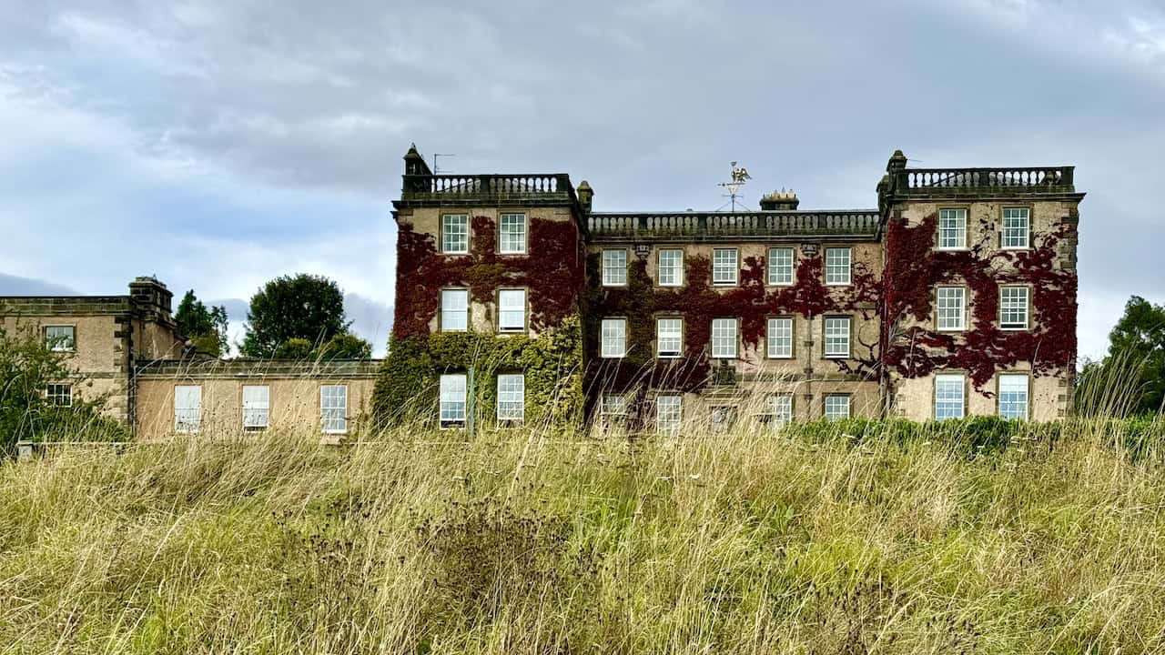
Bolton Hall, passed by both walks, is a Grade II listed building. Originally built in the late 17th century, it was rebuilt after a fire in 1902. An 18th-century folly tower stands in the grounds. The history behind it is worth dwelling on. The Bolton Estate has belonged to the Scrope family since medieval times.
Following the death of Emanuel Scrope, 1st Earl of Sunderland and 11th Baron Scrope of Bolton, in 1630, the estate passed to his eldest illegitimate daughter, Mary, who married Charles, Marquess of Winchester. In 1675, the family built Bolton Hall for him. He later became the 1st Duke of Bolton. After that, the estate passed down through the Dukes of Bolton until 1794, when the 6th Duke died without male heirs and the dukedom became extinct. Instead, it passed to his brother’s illegitimate daughter, Jean Browne-Powlett, who married Thomas Orde, a Tory politician. Orde took on the additional surname Powlett and was ennobled as Baron Bolton in 1797. The estate has remained in the family ever since. In 2023, Thomas Orde-Powlett, the 9th Baron Bolton, inherited it following the death of his father, the 8th Baron. The current Baron now resides at Bolton Hall.
Ancient Churches and Village Treasures
Two of the area’s most interesting churches sit along the Leyburn Shawl walks.
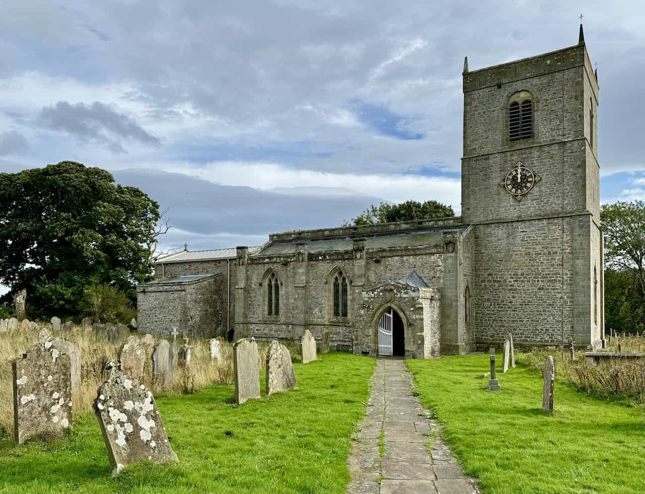
St Oswald’s Church stands beside Bolton Castle, and the longer walk is the only one that reaches it. A church has stood here since the 12th century. However, the present building dates from the 1320s, which makes it older than the castle itself. It’s a modest stone building with a simple tower and a quietly beautiful presence in the village.
ADVERTISEMENT
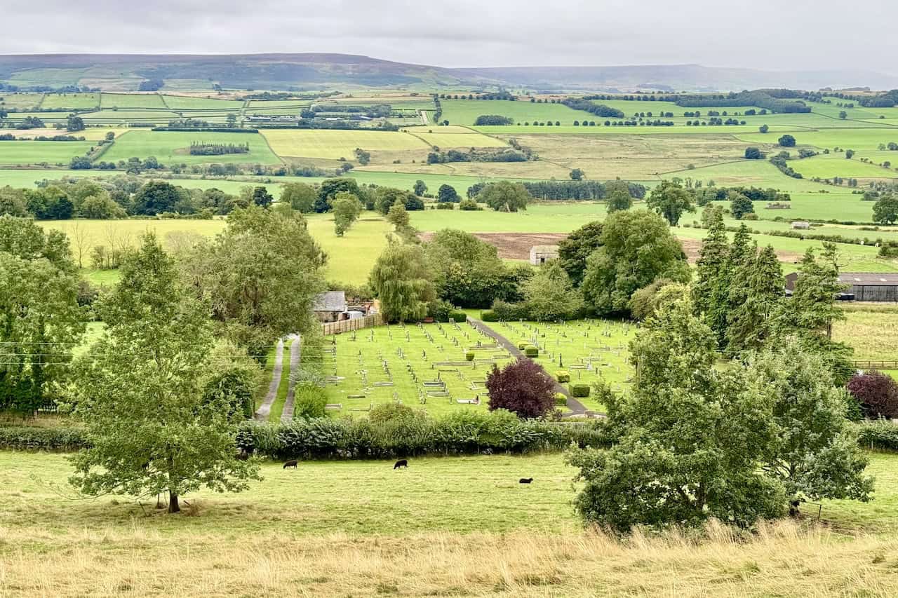
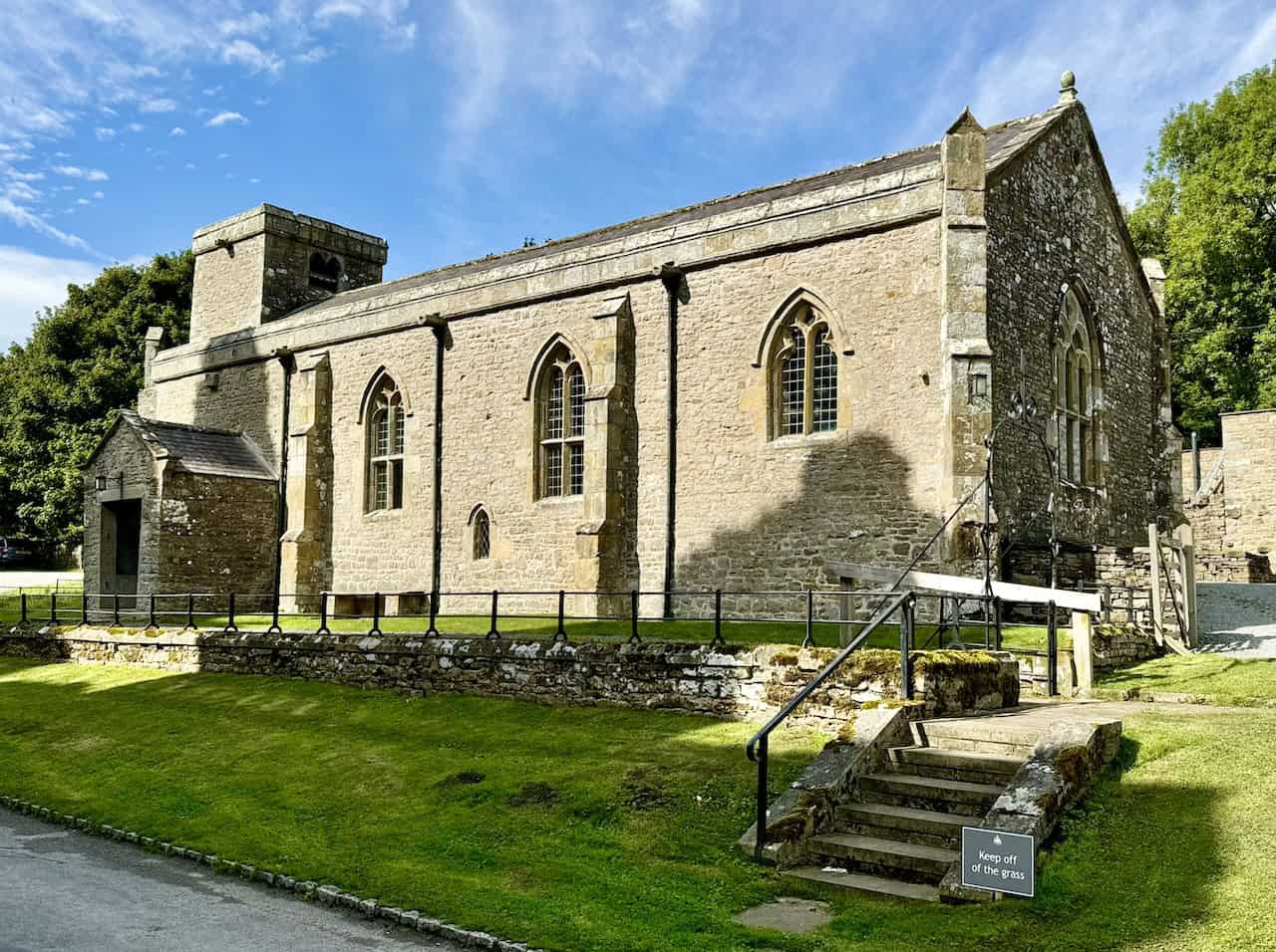
Holy Trinity Church at Wensley, passed by both walks, is a Grade I listed building now under the care of the Churches Conservation Trust. It dates back to the mid-13th century, but it was built on the foundations of an earlier 8th-century Saxon church. Later additions came in the 14th and 15th centuries, and the tower was added in 1719. The church’s records list rectors back to 1181, beginning with Geoffrey de Well and continuing until 2001 with Robert Miles. For many centuries, the Scrope family at Bolton Castle supported Holy Trinity. Although the church is no longer used for regular worship, it remains an important historic landmark.
The villages along the route are highlights in their own right. Preston-under-Scar is a quiet, picturesque traditional Dales village, and both walks pass through it. Castle Bolton, which only the longer walk visits, is dominated by its castle but charming in its own right. Redmire, also on the longer walk, has a striking village green featuring a stone monument with three plaques. The first marks Queen Victoria’s Golden Jubilee in 1887, when the pillar was erected and the village streets were first lit. The second marks the Silver Jubilee of Elizabeth II in 1977, when the lamp was converted to electric. The third was added in 2022 to mark the Platinum Jubilee, made all the more poignant by the late Queen’s death later that September.
Industrial Heritage and Wild Boars
The shorter walk gives you the area’s most evocative piece of industrial history. The Keldheads Lane lead smelt mill near Tullis Cote dates from the mid-19th century, although lead mining in this area began as far back as the 12th century. What remains today includes the engine house, chimney, stables, stores, and a wheel pit that once powered pumps with a waterwheel. The mine ranked as one of Yorkshire’s richest. However, flooding in the lower levels eventually forced it to close.
ADVERTISEMENT
The longer walk, meanwhile, offers something quite different. Near the car park at Bolton Castle, you’ll find a chance to see wild boar. Over 600 years ago, when the castle was first built, wild boar roamed freely in the surrounding woodlands. They are the ancestors of the domestic pig and the largest of today’s wild hogs, native to much of Northern and Central Europe, the Mediterranean, and large parts of Asia. Although they became extinct in Britain at the end of the 16th century, small populations now exist due to escapes from farms and wildlife parks.
The animals are mostly active from dusk to dawn and omnivorous in their diet. Surprisingly, they are also very vocal. They constantly grunt and communicate with each other, and they will scream if alarmed or hungry. Females and their offspring live in groups called sounders, typically of around twenty animals, although groups of up to fifty have been recorded.
Planning Your Leyburn Shawl Walks
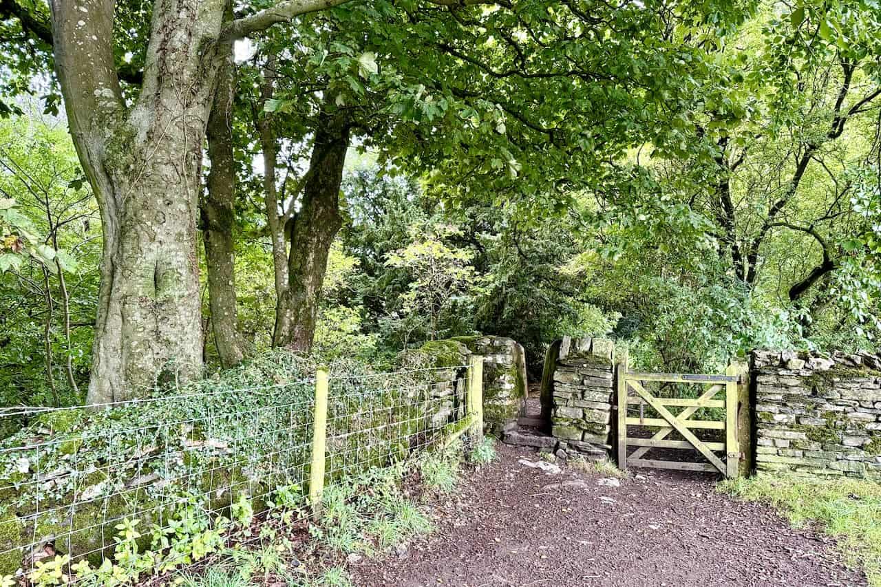
Both walks begin and end in Leyburn, so the practicalities are simple. First, park in Market Place or behind the Golden Lion Hotel. Then, head from the central bus shelter towards Commercial Square to pick up the signposted route to the Shawl. Both routes are circular, and both are covered by OS Explorer OL30. The terrain is straightforward Dales walking, with fields, gates, stiles, woodland paths, and the occasional short stretch on quiet country roads. However, you’ll still want appropriate footwear and waterproofs, along with a flask and something to eat for a halfway break.
For full step-by-step directions, route maps, GPX downloads, printable PDFs, and supporting videos, please visit my dedicated pages for each of the two Leyburn Shawl walks. Whichever you choose, you’ll be rewarded with one of the finest combinations of scenery, history, and quiet village charm that the Yorkshire Dales has to offer.
Related Post: Walks in Wharfedale
Discover two walks in Wharfedale with scenic hillside and river views
ADVERTISEMENT