ADVERTISEMENT
A Quiet Countryside Circuit Awaits on This West Tanfield Walk Near Ripon
Start your West Tanfield walk at West Tanfield Memorial Hall car park, where parking is by honesty box. This is a circular route, so you’ll finish back where you began. Leave the car park, turn left and walk down the road towards Tanfield Bridge, which crosses the River Ure. You’ll pass the Bull Inn on your right as you go.
Immediately after crossing Tanfield Bridge, turn left onto a public footpath signposted Ripon Rowel. Follow the path alongside the River Ure for about half a mile, passing the weir on the way, until you reach a tarmac lane. Turn left and enter Sleningford Water Mill Caravan and Camping Park. Walk through the park, following the signposted public footpath past the right-hand side of the reception building. Continue on the tarmac path, then turn right to follow the public footpath across the grass. Leave the caravan park and carry on along the waymarked public footpath.
This path forms part of the Ripon Rowel Walk and generally follows the course of the River Ure. Keep on this route for about half a mile until you reach the A6108 on the northern edge of North Stainley. When you reach the road, turn left and walk into the village.
ADVERTISEMENT
Head south through North Stainley, passing North Stainley Cricket Club on your left and the church of St Mary the Virgin on your right. Continue all the way through, passing the village duck ponds on both sides. Along the way, ignore the first public footpath on your right and the public bridleway that also leaves on your right. Leave the village behind, pass the gates of North Stainley Hall and, a little further on, turn right at a sign for a public bridleway.
Follow the blue bridleway waymarker arrows through the North Stainley Estate. Cross a large concrete area between some large agricultural buildings, then take the track on the far side. Aerial photographs fixed to the signposts help show you the way. The track joins a wider tarmac road, so carry straight on, passing Lightwater Valley on your left. Rather than walk along the road itself, look for the bridleway running parallel to it on your right, tucked behind the trees. Follow this bridleway alongside the road, keeping to the clear blue and green waymarker arrows.
When you reach Lightwater Quarries, the bridleway joins a wide stone track that passes the quarry car park on your right. Keep straight ahead along the stony track, passing the solar panels and four brick-built semi-detached houses. When you reach the road, turn right towards Musterfield. Follow this road for just over half a mile to a T-junction, then turn left. This is roughly the halfway point of your West Tanfield walk.
ADVERTISEMENT
Carry straight on, following the sign for Kirkby Malzeard and Grewelthorpe and ignoring the right turn to Mickley. After another half a mile or so, the road bends sharply to the left. At this bend, turn right onto a public bridleway heading across country. Continue straight ahead on the bridleway. Where it enters the woodland, take care to pick up the signed public bridleway on the left, just after the metal gate, then follow it along the southern edge of the wood. This section can become overgrown in summer, so shorts aren’t the best choice here.
After about two-thirds of a mile you’ll reach a road. Turn right towards Mickley and follow the road for over half a mile into the village. Walk through Mickley to the small village green, where you’ll find benches and a house called Lark Rise ahead of you. Here, turn left onto a public footpath and stone track signposted to West Tanfield. Follow the stone track, which becomes a grassy path, straight across the middle of a large field, with a straight row of about a dozen large trees to guide you along the way. At the far end of the field, go through a gate and follow the path as it curves round to the left, hugging the edge of the woodland.
The last part of the West Tanfield walk now follows the River Ure back towards the village. The path leads you down towards the river, which appears below on your left. Follow the footpath along the riverside. This stretch can also become overgrown in summer. It stays entirely passable, but shorts again aren’t recommended. The path becomes clearer as it runs high above the river on the right-hand side of the valley. Where the footpath splits into two, take the left-hand path, dropping down to stay close to the river. Go through a gate, pass a wooden hut on your left and carry straight on, with West Tanfield coming into view.
When you reach a narrow tarmac road, turn right and follow it all the way back to the A6108. Turn left and cross Tanfield Bridge over the River Ure to return into West Tanfield, then follow the road up through the village to arrive back at the Memorial Hall car park where you began. Before you leave, it’s well worth taking a look at St Nicholas’s Church and Marmion Tower in West Tanfield.
West Tanfield Walk: Maps and Tools
Visit either the OS Maps website or the Outdooractive website to view this walking route in greater detail. Both platforms offer a range of features, including the ability to print the route, download it to your device, and export the route as a GPX file. You can also watch a 3D fly-over and share the route on social media. Additionally, this page includes a printable version of the walk in PDF format. Plus there is a supporting video, available for you to watch on YouTube.
West Tanfield Walk: Distance, Duration, Statistics
Distance: 8¼ miles
Distance: 13¼ kilometres
Duration: 3½ hours
Ascent: 413 feet
Ascent: 126 metres
Type: Circular walk
ADVERTISEMENT
Recommended Ordnance Survey Map
The best map to use on this walk is the Ordnance Survey map of Nidderdale, reference OS Explorer 298, scale 1:25,000. It clearly displays footpaths, rights of way, open access land and vegetation on the ground, making it ideal for walking, running and hiking. The map can be purchased from Amazon in either a standard, paper version or a weatherproof, laminated version, as shown below.
Weatherproof Version
Ordnance Survey map of Nidderdale, reference OS Explorer 298, scale 1:25,000
About West Tanfield
West Tanfield is a village and civil parish in North Yorkshire, sitting about six miles north of Ripon on the A6108, the road that carries on towards Masham and Wensleydale. The village stands on the north bank of a large meander in the River Ure, and the parish takes in the smaller hamlets of Nosterfield, Thornborough and Binsoe. At the 2011 census its population was 636. The name comes from the Old English tāna feld, meaning open land where young shoots grow, and the village appears in the Domesday Book as Tanefeld.
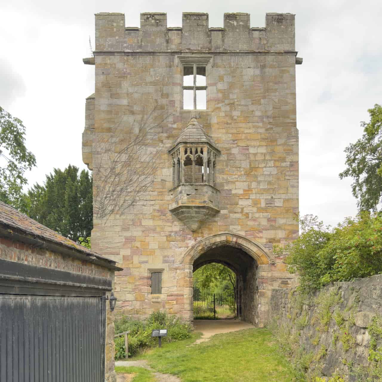
The manor here has passed through some notable hands. After the Norman invasion it was granted to Count Alan of Brittany, and by the late 13th century it belonged to the Marmion family, who held it until 1387. It then descended to the Fitz Hugh family and later the Parrs, one of whom, William Parr, was the brother of Catherine Parr, Queen consort to Henry VIII. The manor eventually returned to the Crown and was granted to William Cecil, Lord Burghley, staying in noble ownership until 1886. The finest survival of that history is Marmion Tower, a 15th-century gatehouse that once formed the entrance to the vanished manor house of the Marmion family, known as the Hermitage. Now cared for by English Heritage and Grade I listed, it is best known for the oriel window at first-floor level, and it makes a memorable finish to the West Tanfield walk.
Related Walk: Similar to the West Tanfield Walk
Ripon Cathedral to Fountains Abbey on a scenic Ripon walk circular route
The parish church of St Nicholas stands on Main Street and is a Grade II listed building. It was first raised in the 13th century and later altered in the 15th century and again in 1860, and John Marmion, 4th Baron Marmion of Winteringham, is buried within it. The village also has a Methodist chapel of 1798 beside the old railway station, a reminder that West Tanfield once had its own stop on the Masham branch line until it closed in 1963.
Today the village is a welcoming place to begin and end the West Tanfield walk. It has two pubs, both listed buildings, along with a village store and post office, while the Memorial Hall, raised in memory of the local men who died in the two world wars, serves as the venue for village events. There is a football team and a long-established cricket club, founded in 1907, which plays just across the Ure at Sleningford. A little further afield lie the Thornborough Henges, a remarkable group of ancient earthworks sometimes called the Stonehenge of the North.
West Tanfield Walk: My Photos
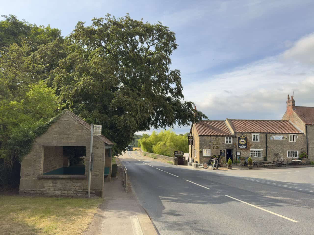
Leaving the car park behind, I set off down the road towards Tanfield Bridge at the start of my West Tanfield walk. The Bull Inn sits on my right, a stone free house with a red pantile roof and a scattering of tables out at the front. Across from it stands an old stone bus shelter with a bench tucked inside, and just beyond it the parapet of the bridge marks the point where the road crosses the River Ure.
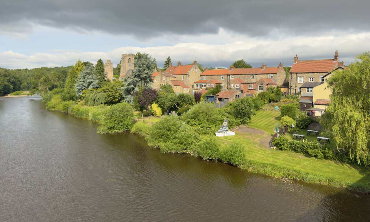
From the middle of Tanfield Bridge I pause to look upstream. Stone cottages line the far bank, their gardens running down to the water’s edge, and the Bull Inn’s riverside lawn sits at the near end with its picnic tables. Rising above the rooftops are the tower of St Nicholas’s Church and, just to its left, the older stonework of Marmion Tower, both of which I plan to explore at the end of the day.
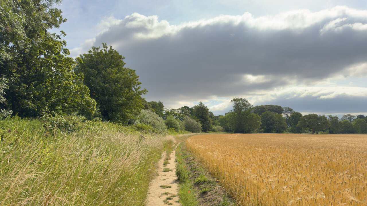
As soon as I turn off the bridge and join the Ripon Rowel Walk, the colours catch my eye. A narrow path runs ahead between tall grasses on the left and a field of ripening barley on the right, its golden heads tipping towards the track. Trees mark the far edge of the field, and the blend of green verge, gold crop and wide sky sets the tone for this opening stretch beside the river.
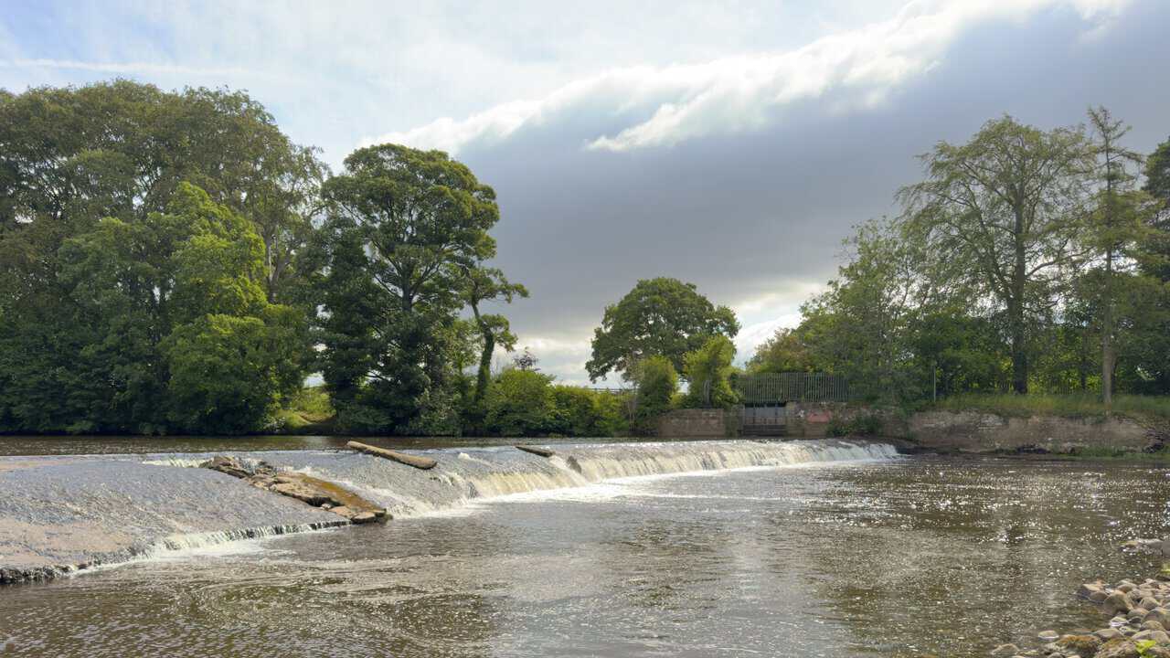
A little further along, still following the Ure, I come to the weir. The water spills over its curved lip in a broad white line and settles into calmer flow below, with a stony shore and scattered boulders along the near bank. Tall trees crowd the far side, and a low stone wall with a fenced structure sits behind the weir, a reminder of the river’s old working past.
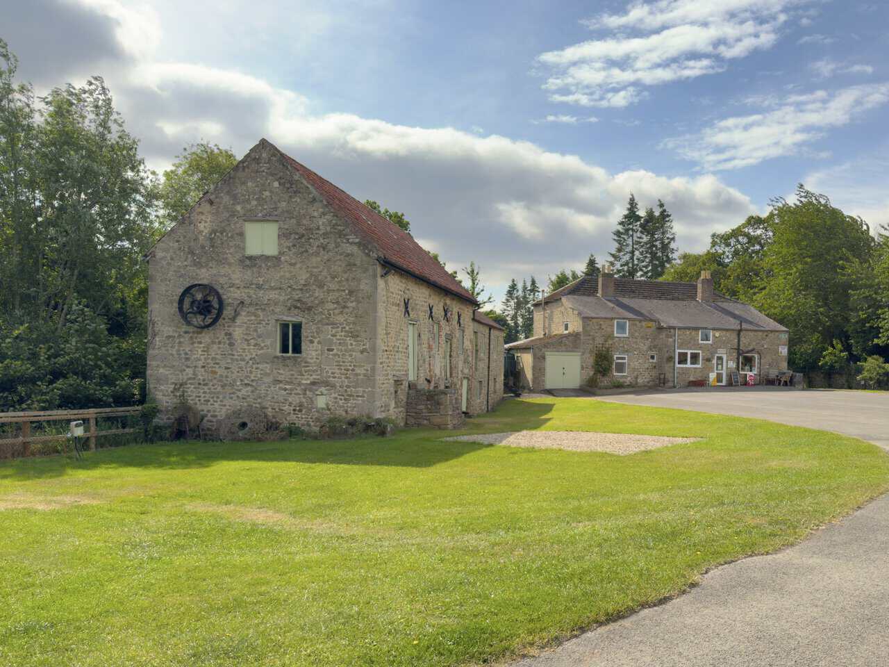
The path then leads me into Sleningford Water Mill Caravan and Camping Park, where I follow the signposted route past the right-hand side of the reception building. The old mill stands beside it, a sturdy stone building with an iron wheel fixed to its gable end. A watermill has occupied this stretch of the Ure since at least the 14th century, and the one I pass was known as Walk Mill in the 1800s. It ground corn right up until the 1950s, and in 1973 the grounds around it were opened as the campsite I walk through today.
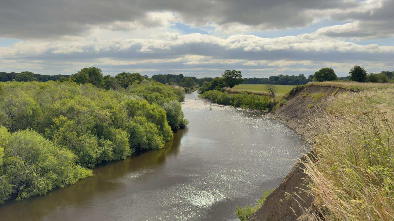
Beyond the campsite the path keeps to the course of the river, and the enclosed, tree-lined section soon opens out. From a rise on the bank I get a broad view of the water running downstream, curving away between wooded margins on the left and a steep eroded bank of grass and bare earth on the right. Fields and low woodland fill the distance beneath a wide, cloud-filled sky, and sunlight glances off the surface as it winds off into the valley.
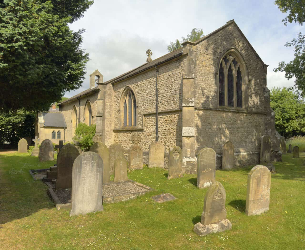
Heading on into North Stainley, I stop to look at the church of St Mary the Virgin. It’s a modest stone building set among trees, with a small bellcote at one end, tall arched windows and a churchyard of weathered gravestones sloping gently around it. The church was built in 1840 by the Staveley family, who held the manor here, and it stands as a memorial to the family and to the villagers of North Stainley over the years.
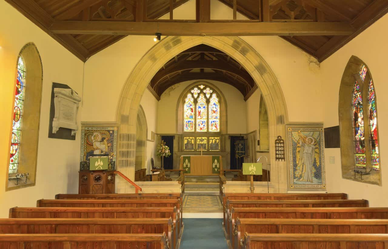
Stepping inside, I find a bright, simple interior with an attractive timber roof, wooden pews and a blue carpet running up the aisle to the chancel arch. Coloured light falls through the stained glass, and the windows repay a closer look, sharing artistic and historical links with the church at Tanfield and with Ripon Cathedral. Two gilded memorial panels of angels flank the chancel, and the whole space has the settled, cared-for feel of a village church still very much at the heart of things.
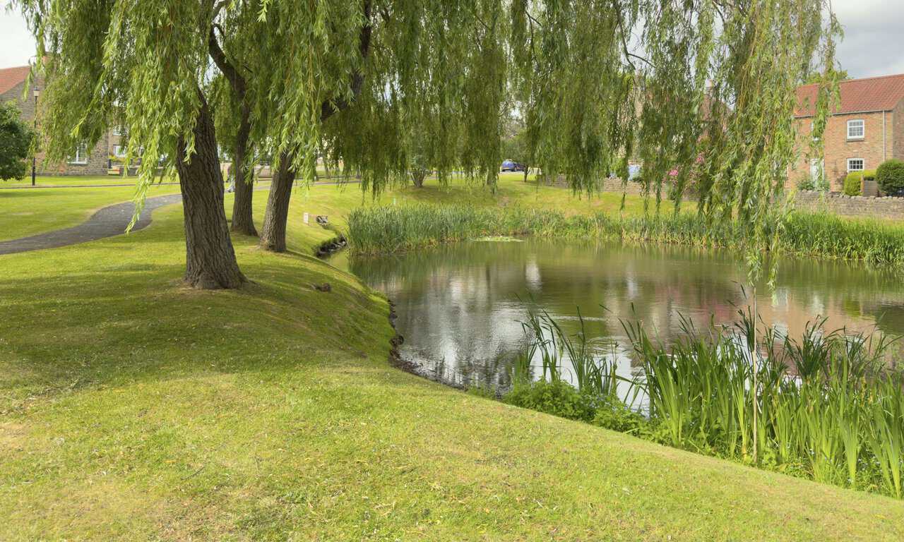
Walking on through the village, I pass the first of the ponds. Three willows lean over the water from a grassy bank, their branches trailing towards the surface, and reeds edge the far side where brick and stone houses look out across the green. North Stainley is known for these ponds and for its cricket pitch, and its name comes from an old term meaning a stone clearing. It’s an easy, pleasant part of the West Tanfield walk, with the village at its most picturesque.
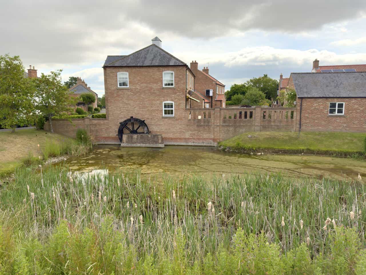
Further on I reach a second pond, and the view across it is the prettiest yet. A tall brick-built house rises from the far side, and set into the wall at its base is an old waterwheel, dark with age, standing just above the point where the pond narrows towards the building. Bulrushes and reeds crowd the near bank, and the mix of still water, mellow brick and the weathered wheel makes this one of the most eye-catching corners of the village.
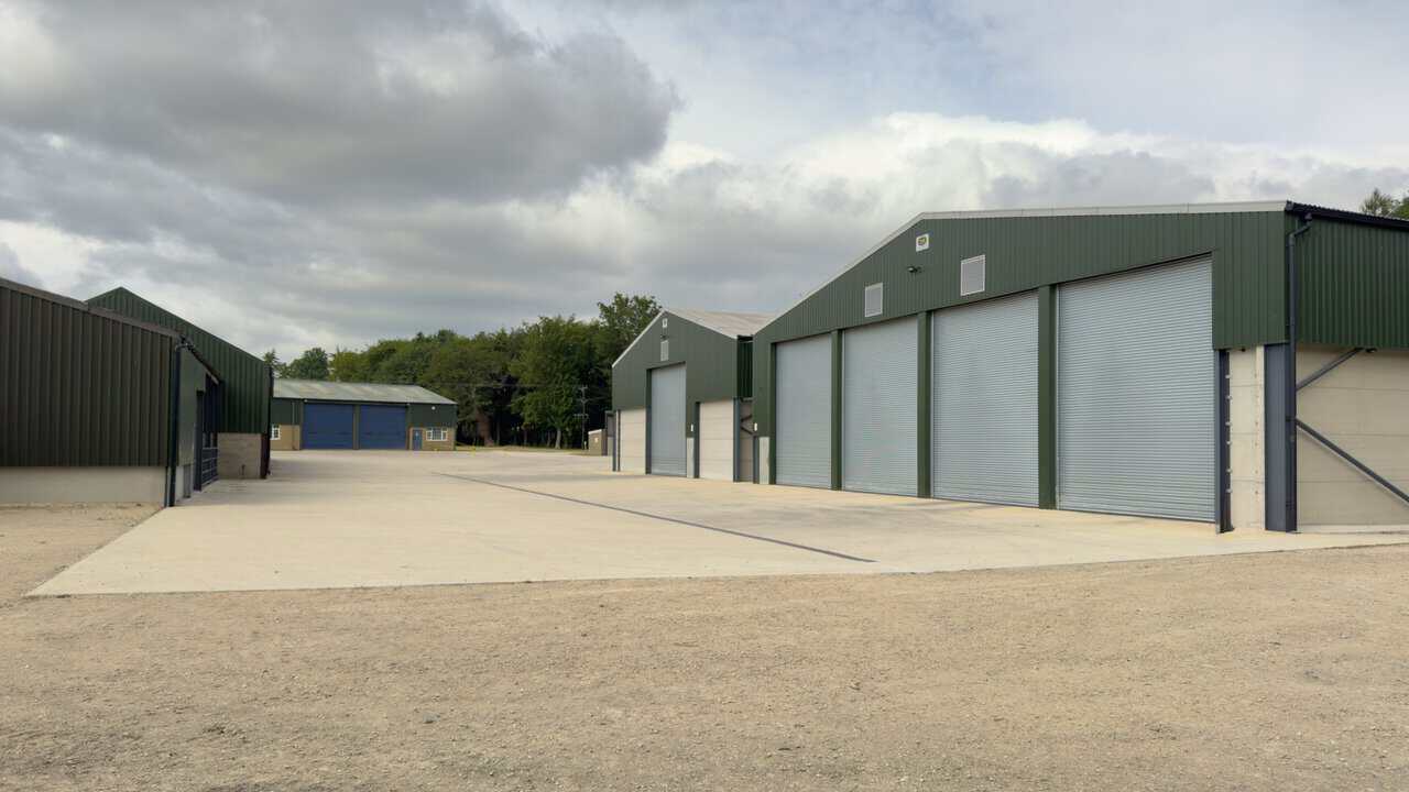
Leaving the village behind, I pass the gates of North Stainley Hall and, a little further on, turn right at a sign for a public bridleway. The route soon takes me across a large concrete yard between some big agricultural buildings, green-clad sheds with roller shutter doors set around the open hardstanding. Blue waymarker arrows and aerial photographs fixed to the signposts point the way through, and I pick up the track on the far side to carry on.
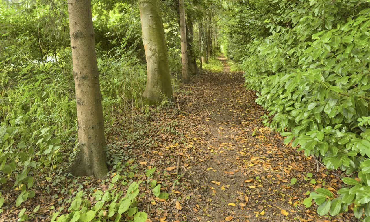
From the agricultural buildings my route heads south-west towards Lightwater Quarries. Rather than follow the road itself, I take a lovely path running alongside it, tucked in among the trees and well away from the traffic. The way is soft underfoot with fallen leaves, hemmed in by tall trunks on one side and dense green foliage on the other, a shaded and welcome change from the open farmland.
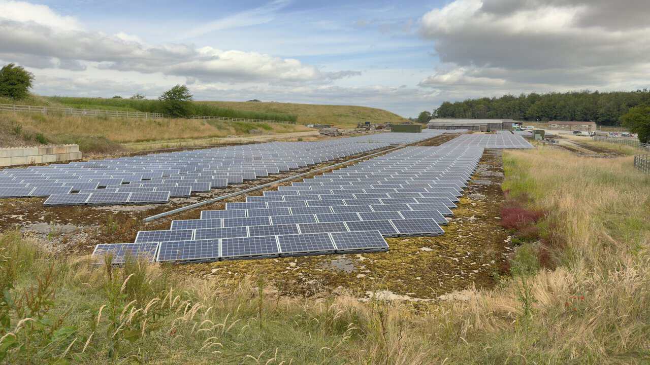
Not far beyond, I pass the solar panels at Lightwater Quarries, rows of dark blue photovoltaic panels laid out across the ground with the quarry’s sheds and yards behind. Lightwater Quarries is a family-run business working magnesian limestone here at Potgate Quarry, and it has gone a long way down the green route. Its on-site solar arrays now supply around three-quarters of the power the operation needs, making this one of the greenest quarries of its kind in the country.
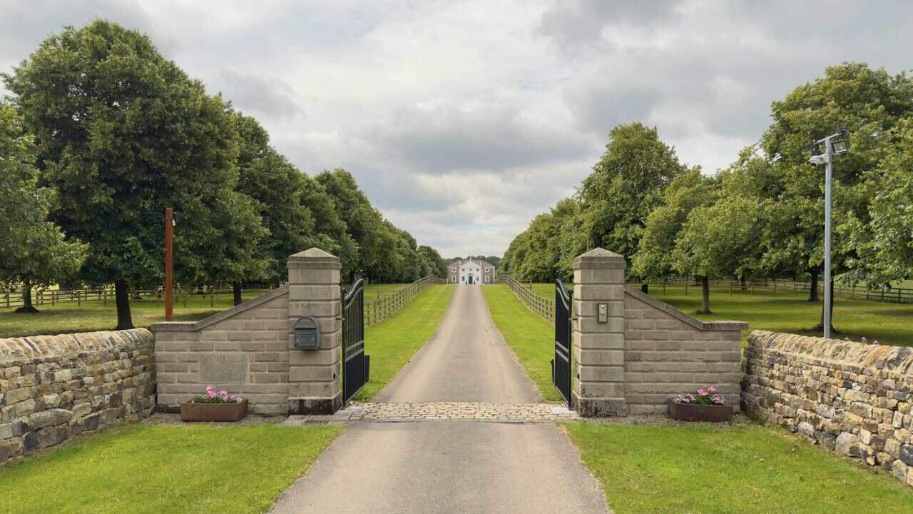
After the quarry there’s a little road walking to do, though the lanes here are quiet with very light traffic. From one of them I get a wonderful view through a pair of stone gateposts and up a long straight drive to a handsome house in the distance. The gatepost is carved with the name Newfield Farm, and the drive runs dead straight between lines of trees and post-and-rail fencing, with a dry stone wall and tubs of flowers framing the entrance. It’s a grand and rather photogenic spot on this quiet part of the West Tanfield walk.
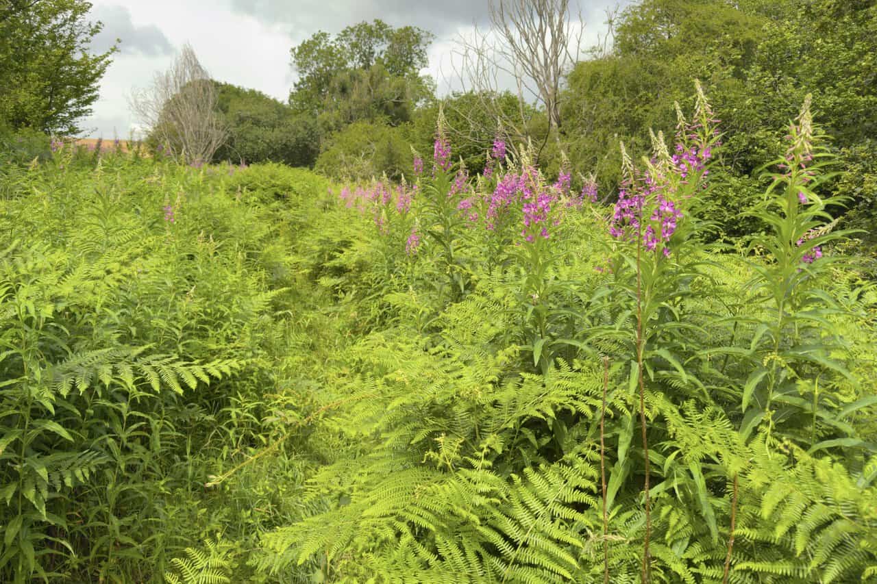
My route then follows the southern edge of Coal Bank Wood. It’s a manageable section, though it can get a little overgrown, and I’m glad I’m not in shorts. Bracken and tall pink spikes of rosebay willowherb crowd in on both sides of the path, with the trees of the wood rising behind, and I push on through the greenery with the way ahead still clear enough to follow.
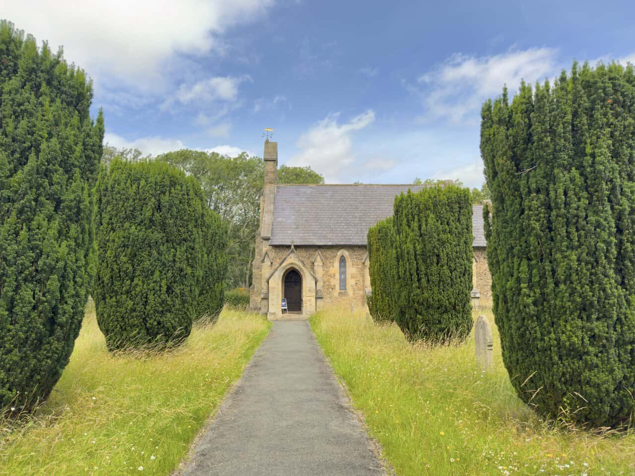
After a little more quiet road walking I reach the village of Mickley, where the church of St John the Evangelist stands just off the street behind a line of dark, clipped yews. A narrow path leads between the trees to the porch, with rough churchyard grass on either side and a weathervane catching the light above the gable. The church was built in 1841 through the generosity of the Dalton family of Sleningford Grange, in memory of Elizabeth Dalton, and is made of cobblestones taken from the River Ure.
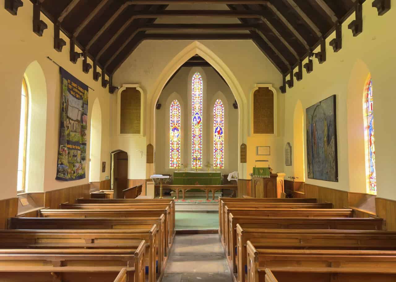
Through the door I find a warm, simple interior with a dark timber roof, wooden pews and three tall stained glass windows glowing above the altar. A banner on the wall marks the church’s 175th anniversary, counted from 1842. The churchyard outside has a quieter story to tell too, holding the graves of Irish Catholic families who came to work at a nearby flax mill during the potato famine of the 1840s, the ruins of which can still be found by the river.
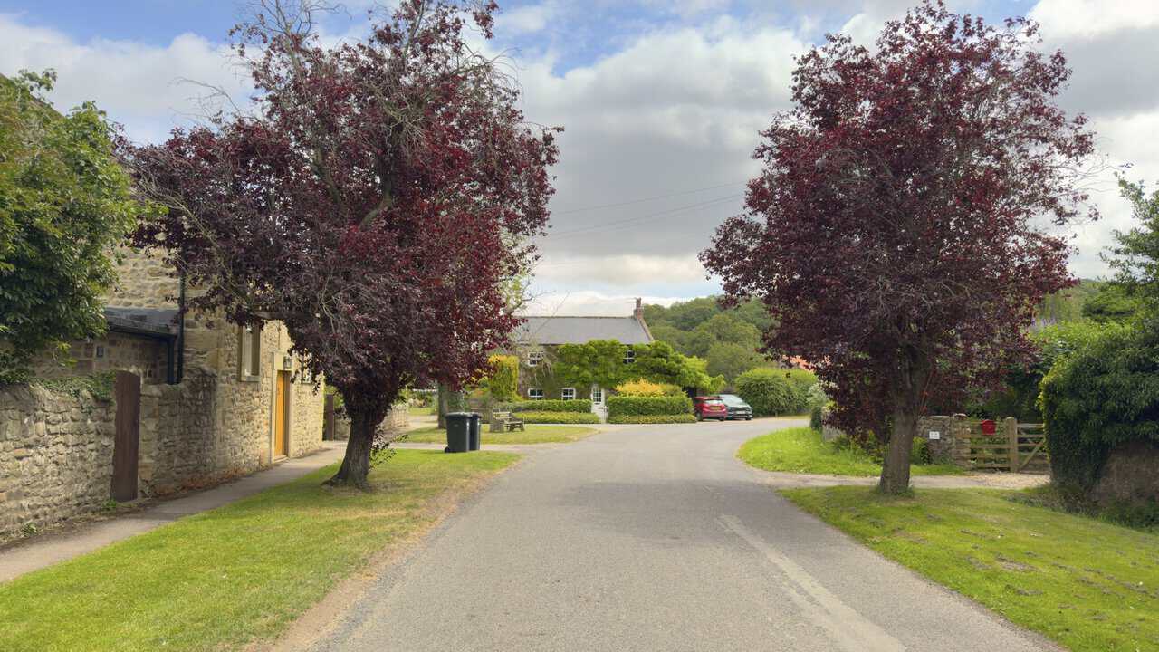
I walk the length of Mickley to reach the small village green at the far end, and what a lovely village it’s been to pass through on the West Tanfield walk. A single hushed street runs through it, lined with weathered stone cottages, copper-leaved trees and well-kept gardens, with no shops and no pubs to break the peace. Mickley is an old place for all its small size, its name recorded as far back as the 12th century as Michelhach, from words meaning something like great enclosure. It sits on the south bank of the River Ure, tucked between Masham and West Tanfield, and has long been a stop on the Ripon Rowel Walk I’ve been following for much of the day.
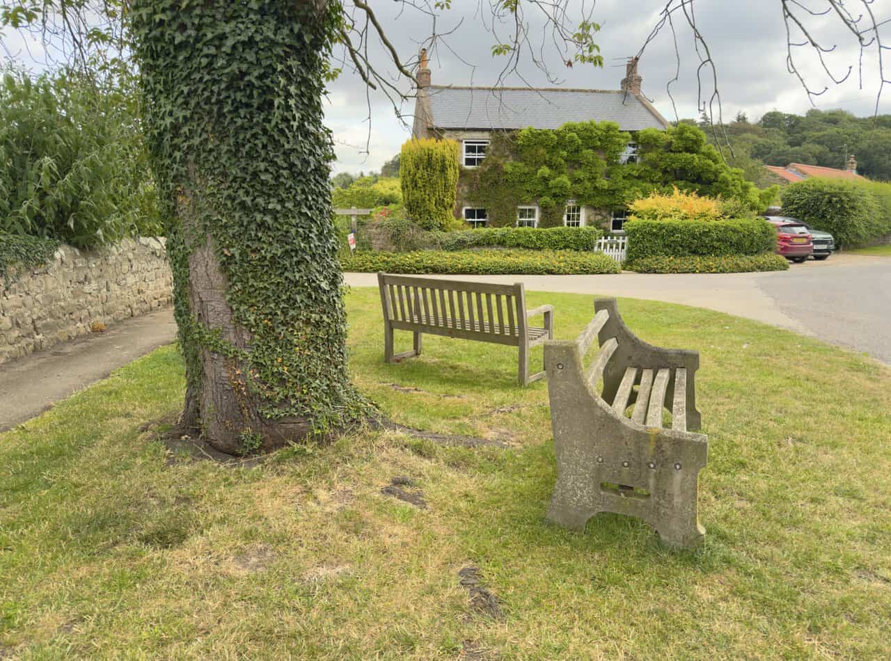
At the green I find a couple of benches beneath a tall ivy-clad tree, one of them a solid old design with concrete ends that has clearly seen many years of use. Across the grass stands a house called Lark Rise, its frontage softened by climbing wisteria and greenery, looking out over the green in the middle of the village. I take the chance to sit down here and have my lunch, glad of the rest and the calm before the next stage. From here my route turns left onto a public footpath and stone track signposted to West Tanfield.
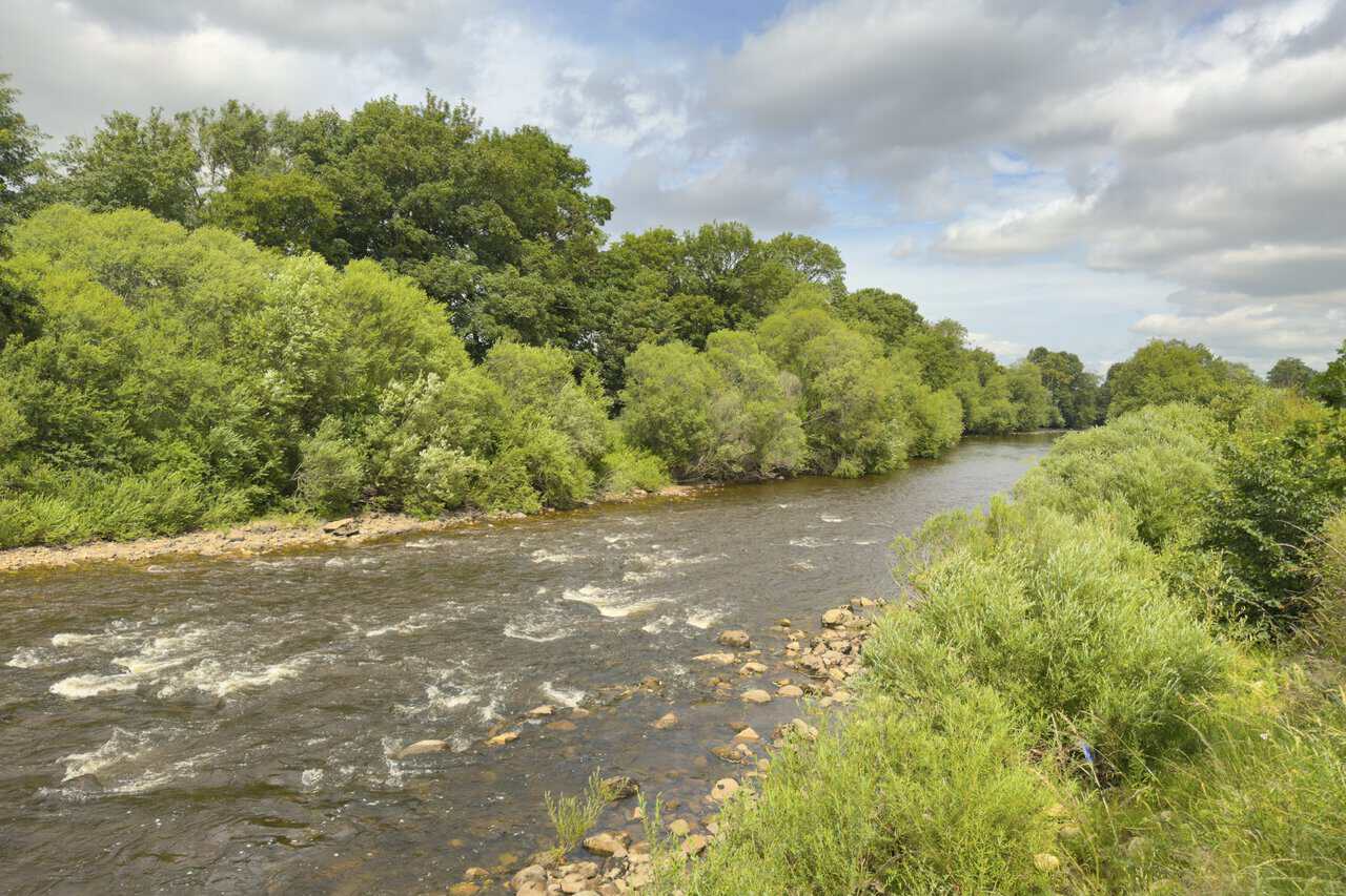
Leaving Mickley, my route joins the Ripon Rowel Walk once more and follows the course of the Ure. Well known as this path is, parts of it are quite overgrown, so I’m pleased to push clear of the thicker sections and reach an open view of the river. The water runs wide and lively here, breaking white over a bed of stones between banks crowded with willow and scrub, with a spread of pale cloud above the trees.
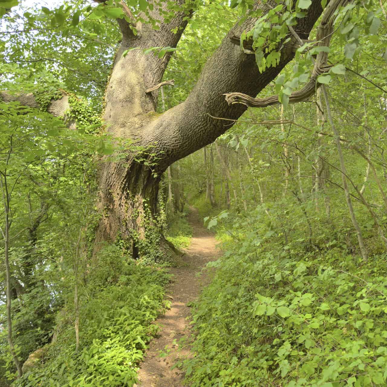
The path then leads me into Piccadilly Wood, still on the Ripon Rowel Walk and running high above the banks of the river. It’s a delightful part of the day, the narrow trodden path winding through the trees beneath a great leaning trunk that arches right across the way. Dappled light falls through the canopy onto the greenery pressing in on either side, and it makes for one of the prettiest woodland passages on the West Tanfield walk.
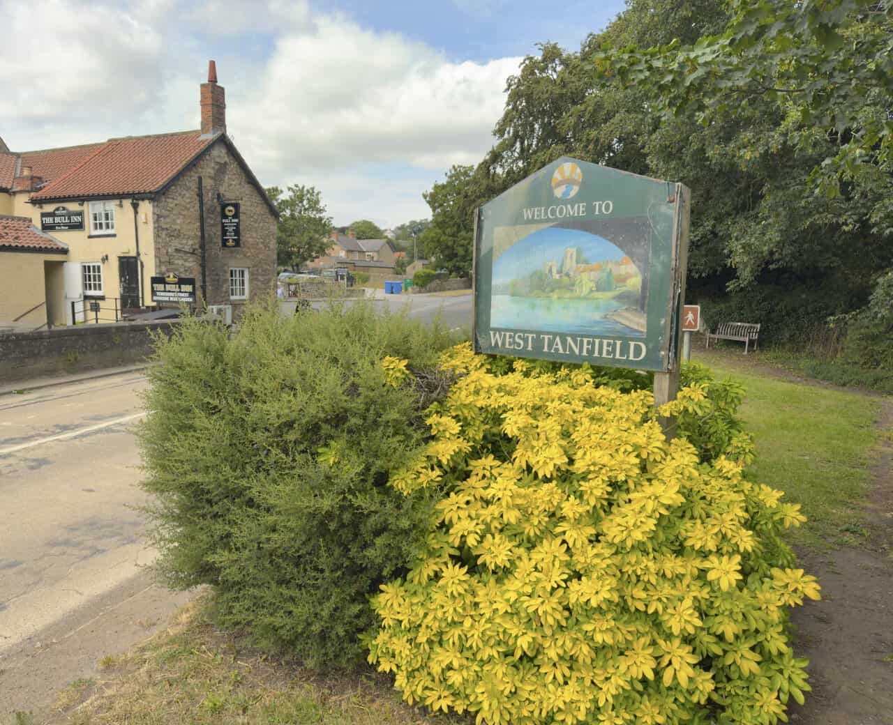
I cross Tanfield Bridge and come back into West Tanfield, the end of my walk. A painted welcome sign stands among a spill of bright yellow foliage, with the Bull Inn just across the road ready to provide a well-earned drink. It’s a fine spot to pause and reflect before I go and take a proper look at St Nicholas’s Church and Marmion Tower.
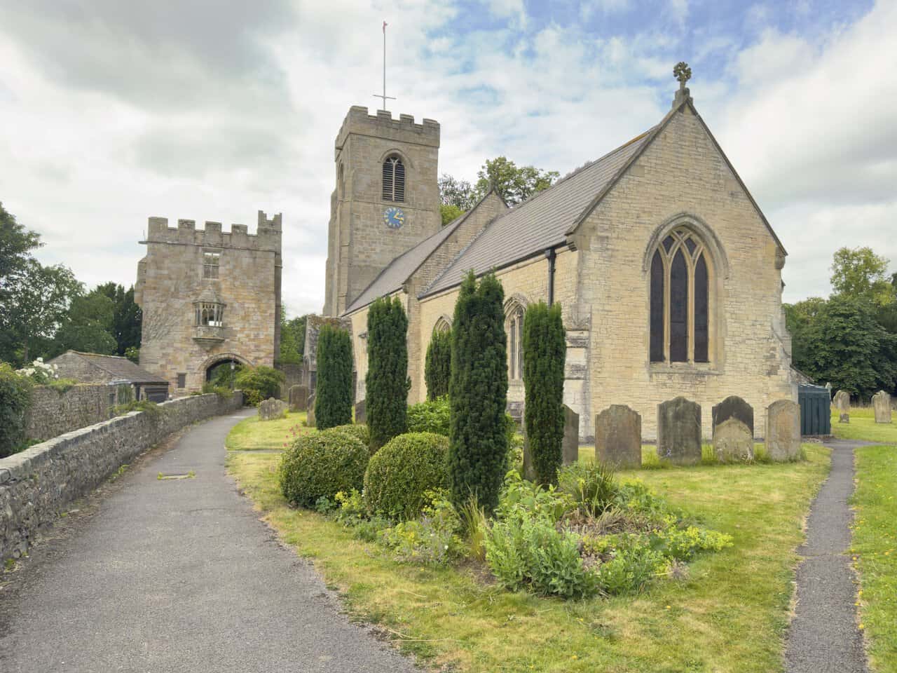
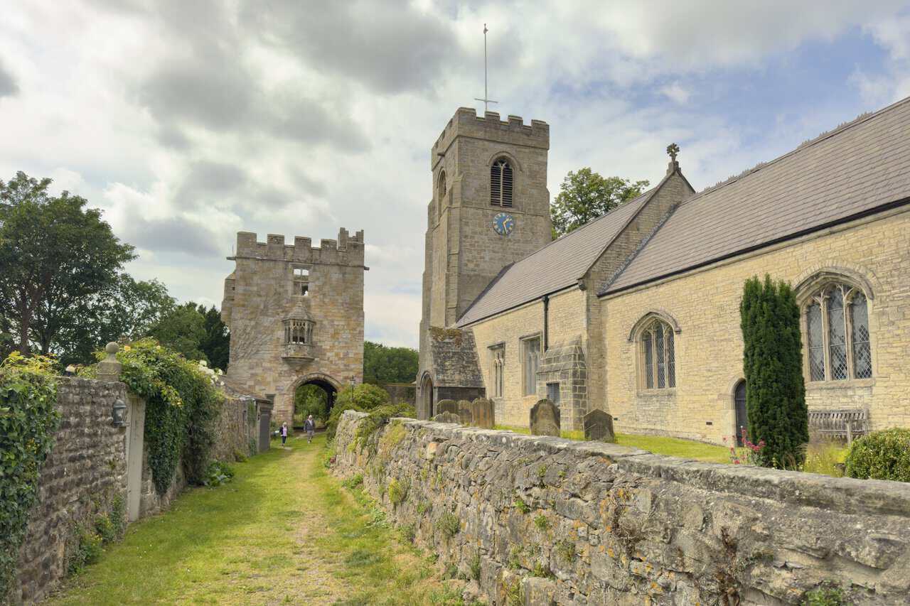
St Nicholas’s Church sits close to the river, and I follow the path towards it with the church on one side and the tall stonework of Marmion Tower rising just beyond. A manor house once stood here, home to the Marmion family who held West Tanfield through much of the 13th and 14th centuries, and the 15th-century gatehouse now known as Marmion Tower is all that survives of it. There has been a church on this spot since the late 12th or early 13th century, though little of that first building remains.
Walking round the church, I get a clearer view of its tower, with its battlemented top, blue and gold clock and pale limestone walls. The building was largely rebuilt in the 15th century and then restored in the Victorian period, a restoration that swept away most of its remaining medieval features. Even so, some 12th-century stonework still survives in the south wall of the nave and the western half of the chancel, and clipped shrubs and old gravestones give the churchyard a settled, well-tended air.
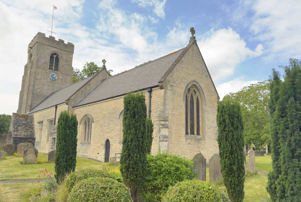
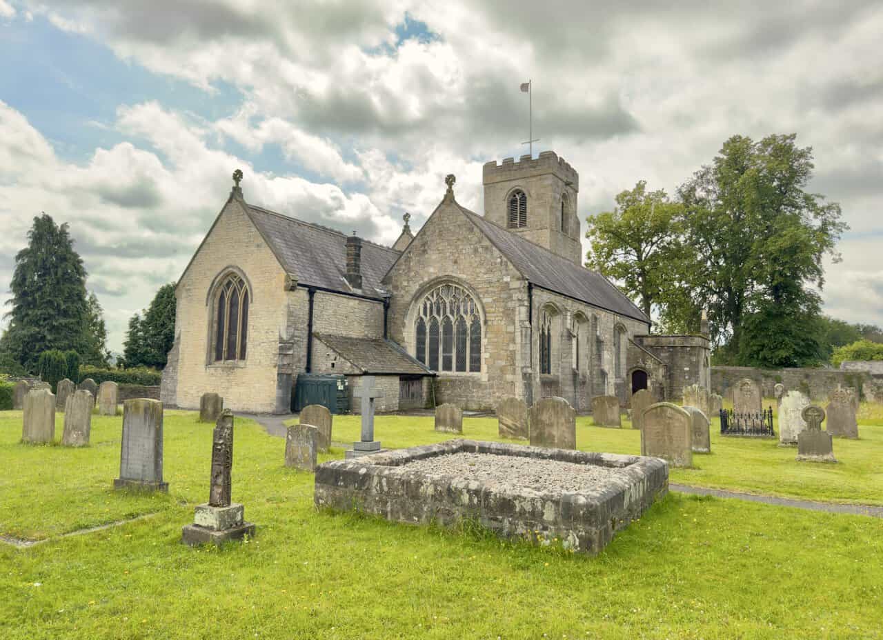
From the far side I can take in the full length of the building, its steep roofs, tall traceried windows and the tower standing over the graves. The churchyard tells its own stories, with memorials that reach back through the centuries and link this quiet village to far wider events. It’s easy to see why the pairing of St Nicholas’s Church and Marmion Tower makes such a fitting close to the West Tanfield walk, the two standing side by side above the river as they have for hundreds of years.
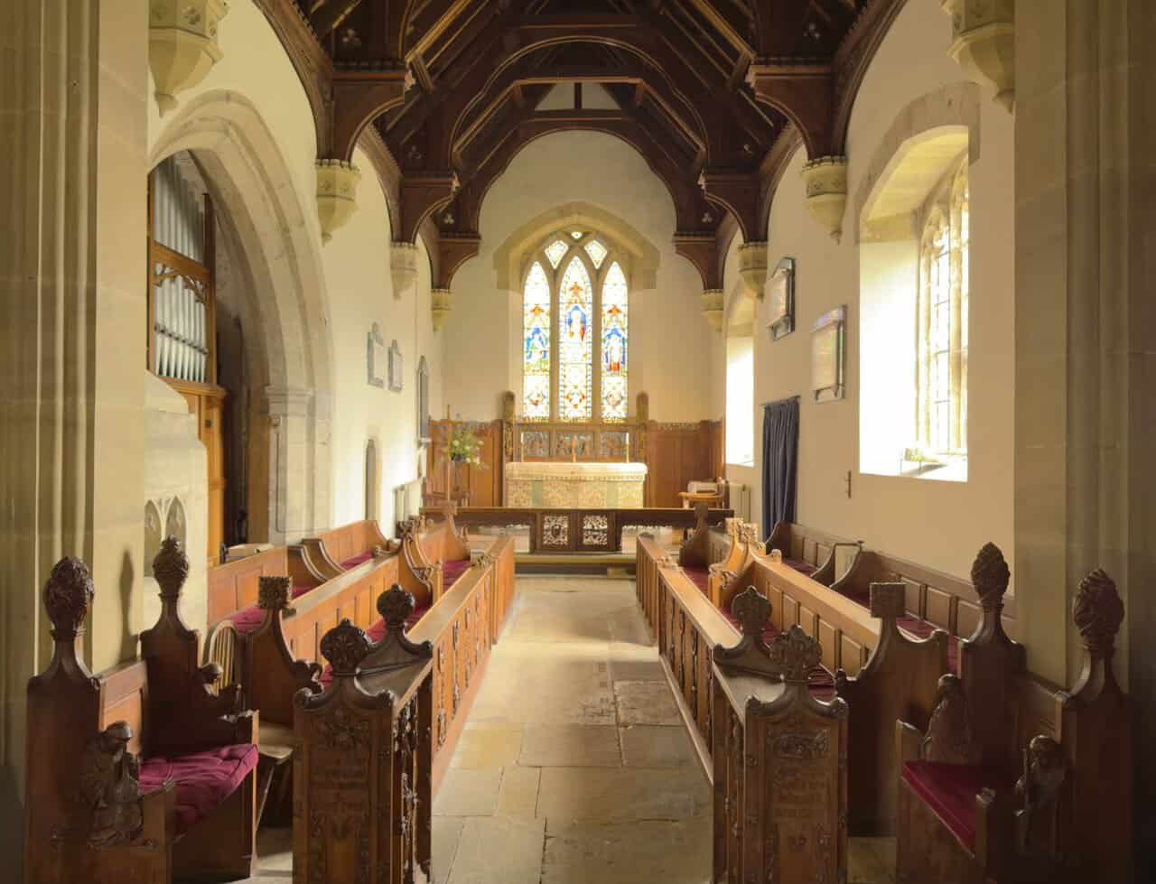
Inside the church, I find a warm, light space with a fine timber roof, carved pews and a stained glass window glowing above the altar at the far end. The north arcade dates from the late 13th century, and the north aisle holds a remarkable collection of Marmion family tombs and effigies gathered over generations. There’s a real sense of age and continuity here, the worn stone floor and old carved woodwork speaking of centuries of village worship.
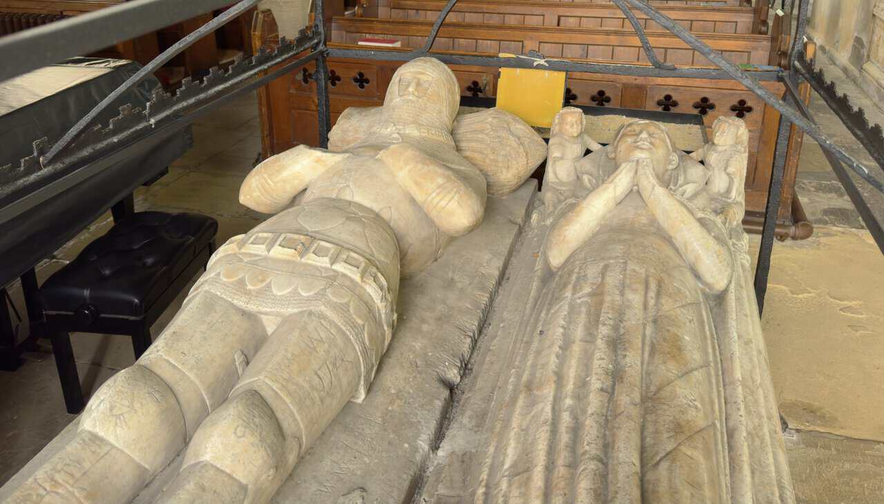
The finest of the tombs commemorates Sir John Marmion, who died in 1387, and Lady Elizabeth Marmion, who died in 1400. Carved from Derbyshire alabaster, the effigies show the knight in the plate armour of his day, his head resting on a tilting helmet and his feet on a lion, with the Lancastrian collar of SS around his neck, a decoration introduced by Henry IV. Lady Marmion lies beside him, her head on cushions held by angels and her feet resting on a hound, the arms of the Marmion and St Quintin families embroidered on her gown. Over them both stands a wrought-iron hearse fitted with prickets for candles, lit on certain occasions, and believed to be the only one of its kind in England.
From the churchyard I follow the path towards Marmion Tower, which stands just beyond the church at the end of a walled grassy lane. This striking 15th-century gatehouse was once the entrance to Tanfield Castle, the defended riverside manor house of the knight John Marmion, and it’s now the only part of that vanished manor still standing. The Marmion family held West Tanfield for much of the medieval period, and by the time the gatehouse was raised the estate had passed to the FitzHughs, who were most likely responsible for building it.
Drawing closer, I get a good look at the tower itself, three storeys of pale ashlar stone topped with a battlemented parapet. Its most beautiful feature is the carved oriel window on the first floor, which looks out towards the village and the church. The tower is very much a small castle in its own right, with a vaulted passage running through the base, yet the elegance of that window shows it was built as much for display as for defence.
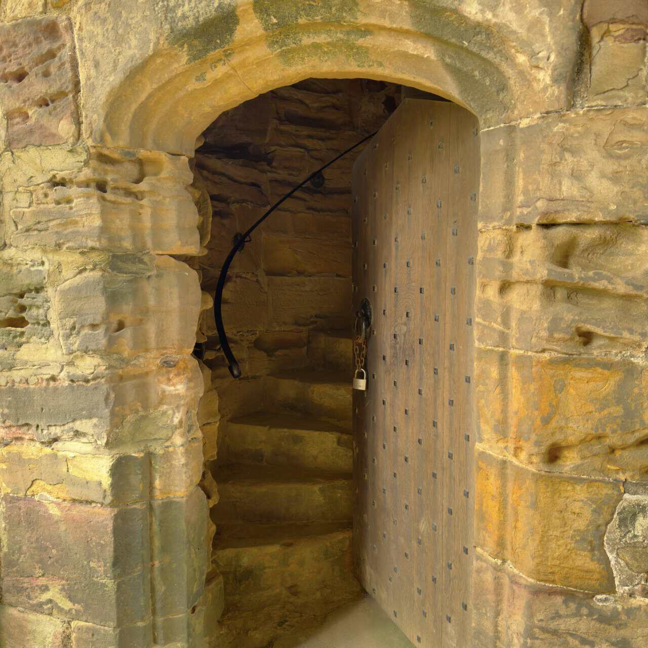
Through the doorway I reach the foot of the newel staircase that winds up to the first floor. The stone steps spiral tightly up in the corner of the tower, worn and uneven with age, with a plain studded door standing open beside them and a metal handrail fixed to help visitors climb. It’s a genuinely atmospheric spot, the kind of narrow medieval stair that makes the centuries feel very close at hand.
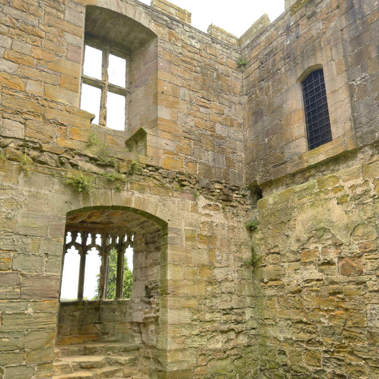
Up on the first floor I find myself in what was once the tower’s grand chamber, open to the sky where the roof and upper storey have long gone. The walls still carry the marks of its former comfort, with a fireplace and, above all, that ornate oriel window with its Perpendicular tracery, set into the eastern wall to catch the light and the view. Standing here among the bare stone, it’s easy to picture the room as the fine private apartment it once was.
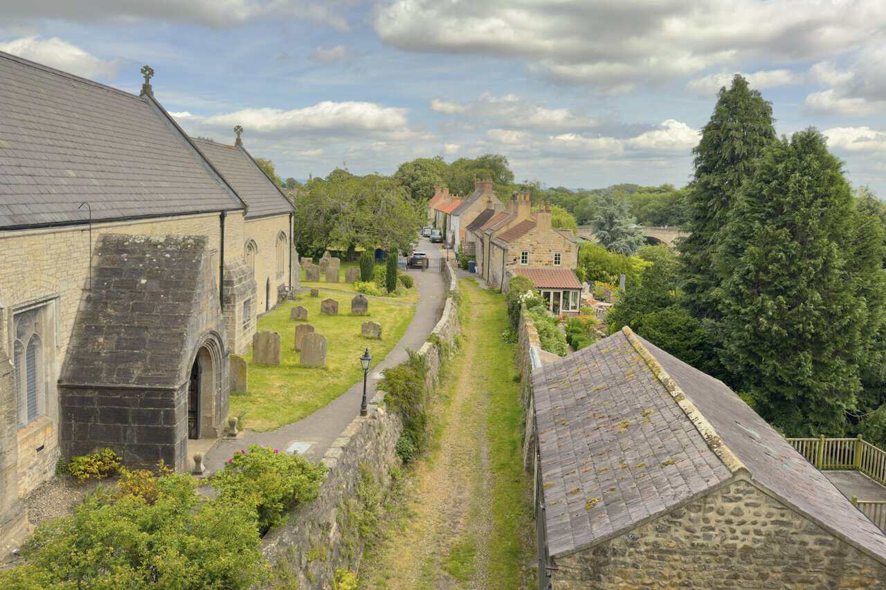
From the tower I get a last, memorable view over West Tanfield, looking down across the churchyard of St Nicholas’s Church and along the lane between the cottages, with the arches of Tanfield Bridge and the River Ure beyond. It’s a fitting place to end the West Tanfield walk, high above the village where the day began, with the river, the bridge, the church and the tower all gathered into one closing scene. A rewarding circuit through quiet countryside, and a village whose long history rounds it off perfectly.